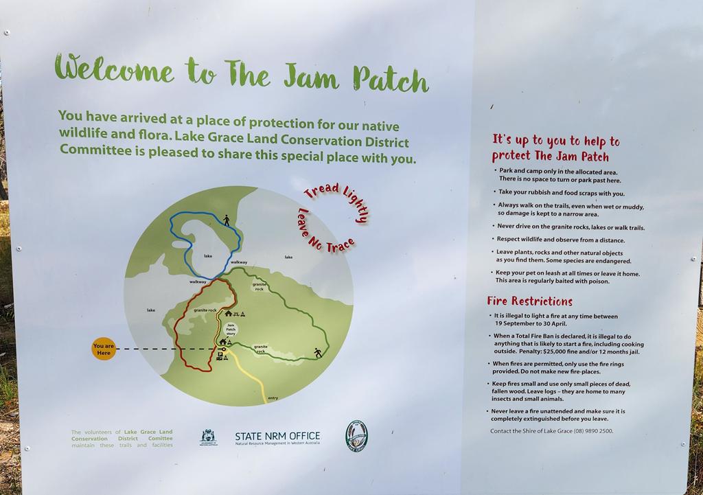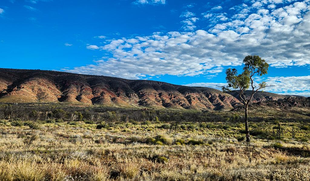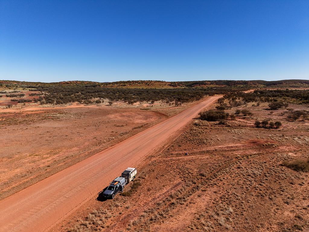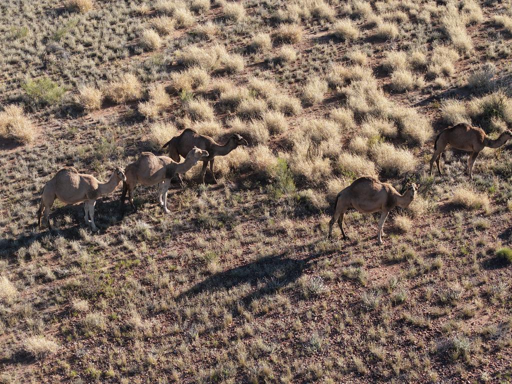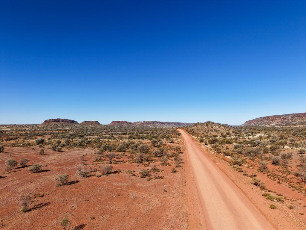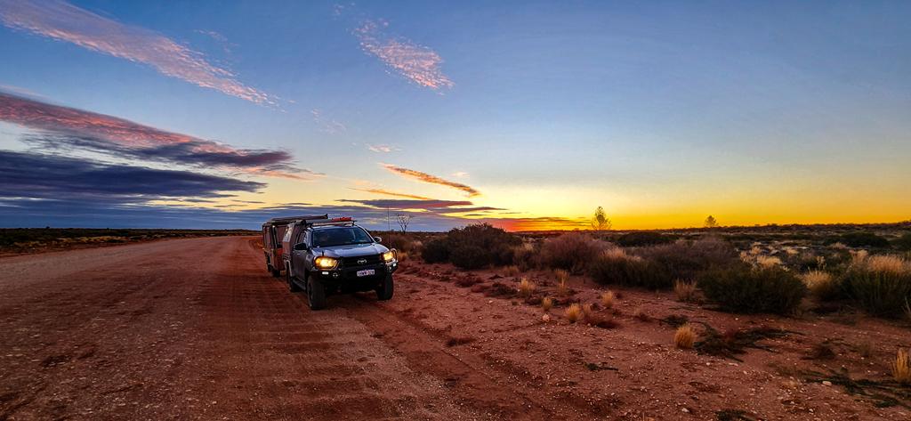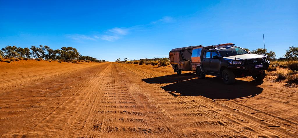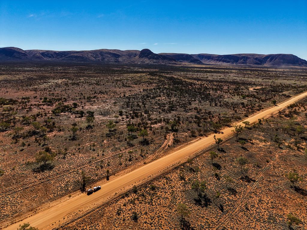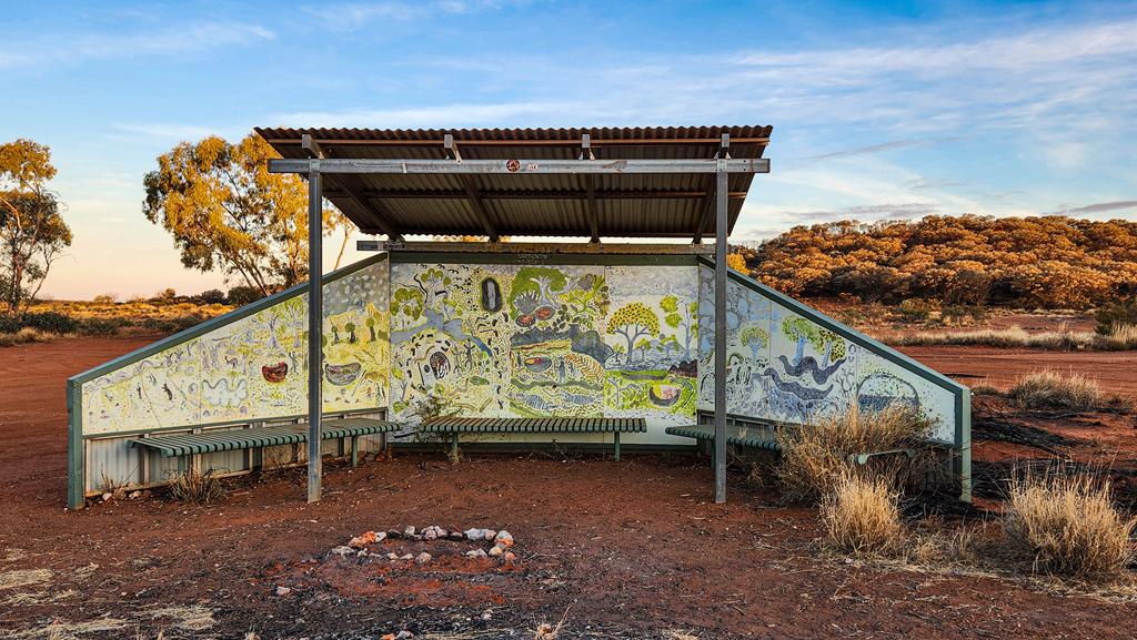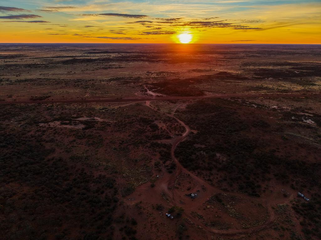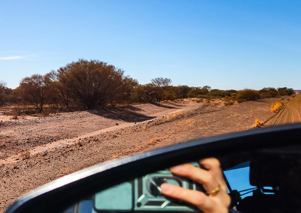
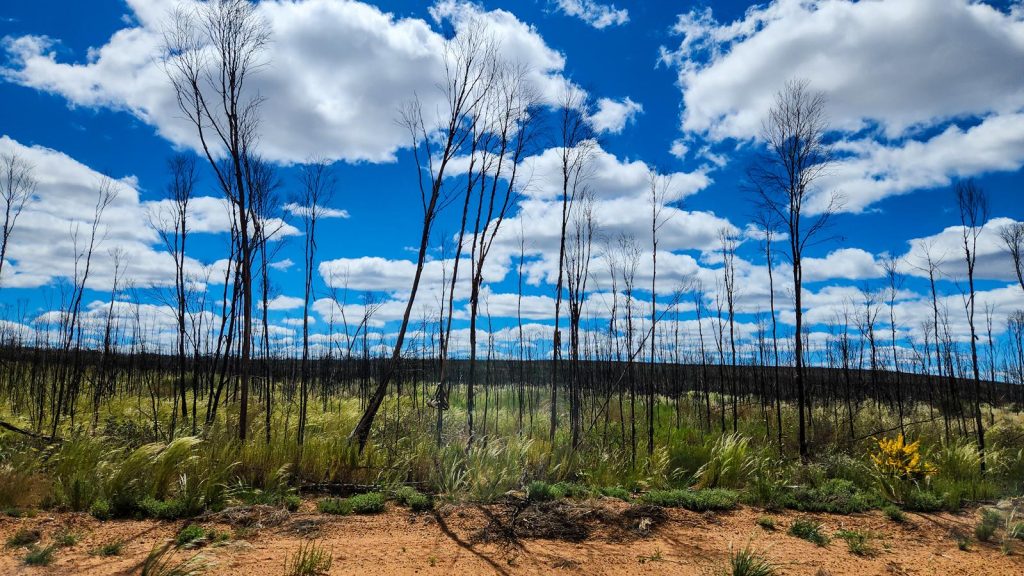
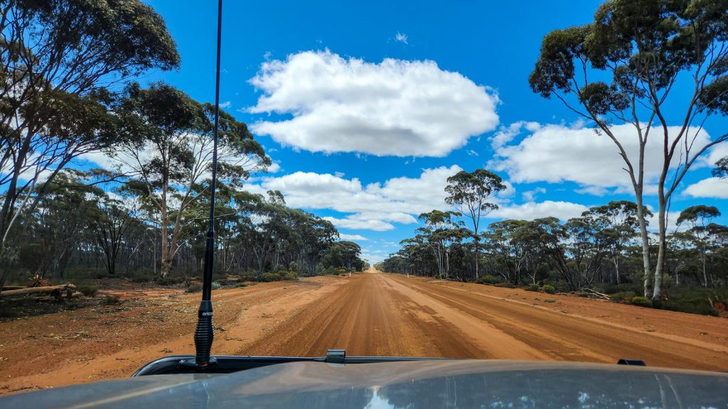
Granite and Woodlands Discovery Trail is a 300km unsealed road that links Hyden and Norseman. It features 16 interpretive sites with walking trails, picnic and camping areas. As you drive along this scenic route, you will see how the scenery changes from section to section – from low heath, to shrubs, to eucalyptus woodlands.
Starting at Hyden
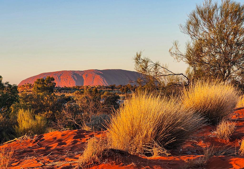
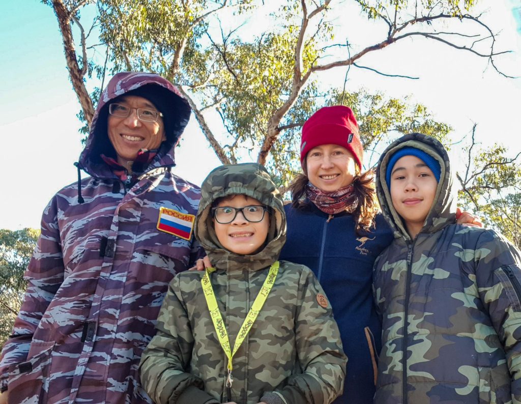
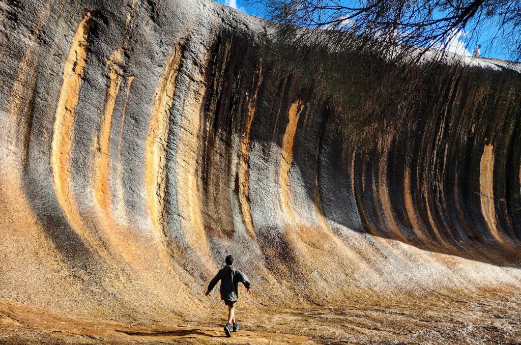
Our journey began in Hyden, where a visit to the iconic Wave Rock felt like a rite of passage. Though we’d been before, it was the first time for our children. It was a moment of shared wonder beneath the ancient wave-shaped granite.
Holland Track Intersection
Our first stop along the Granite and Woodlands Discovery Trail was the Holland Track intersection.
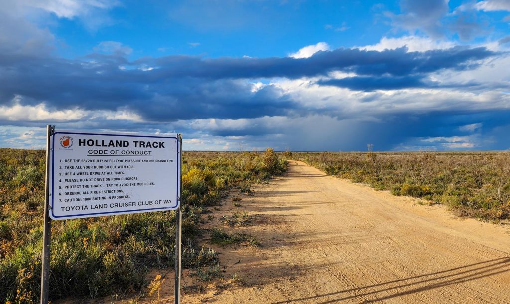
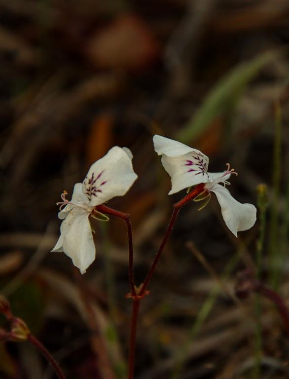
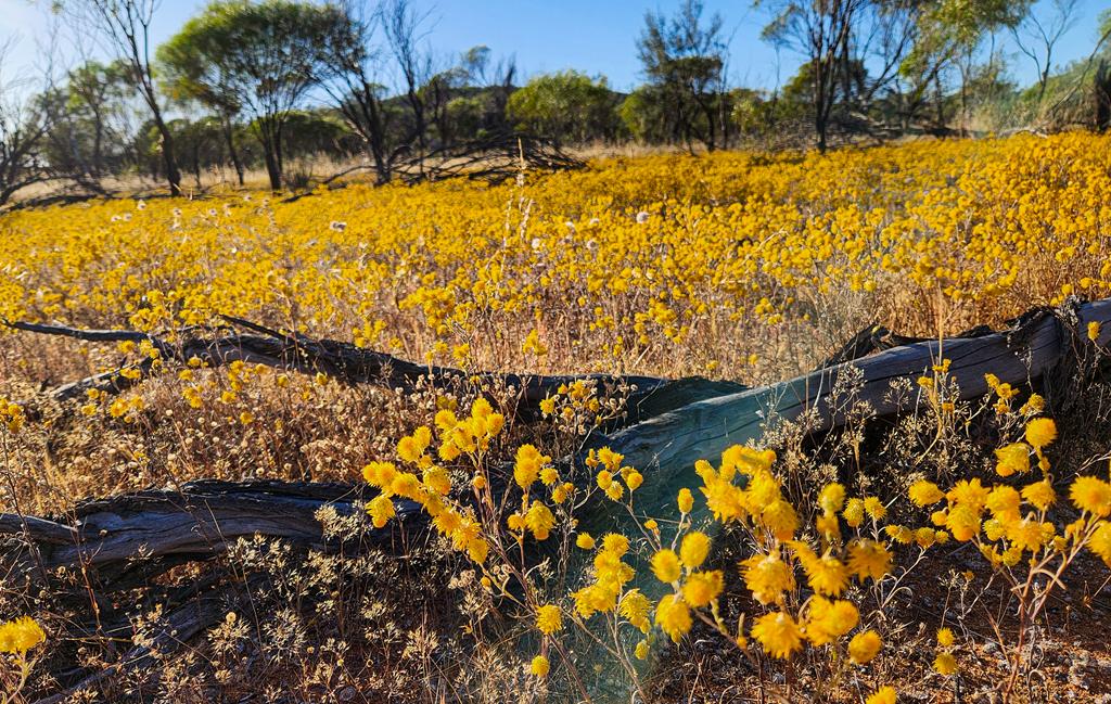
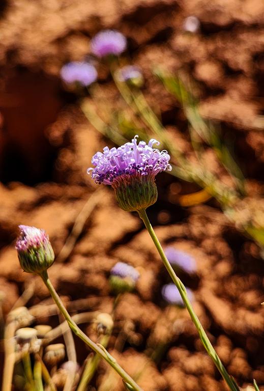
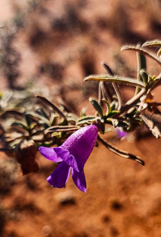
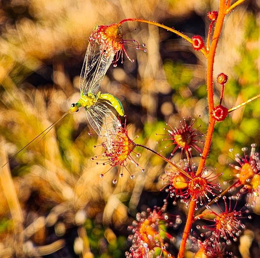
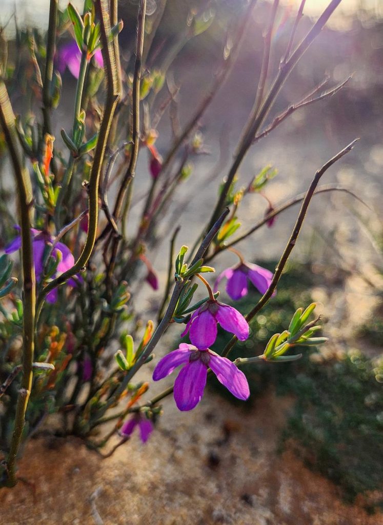
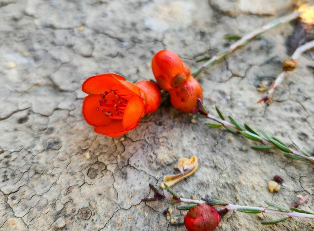
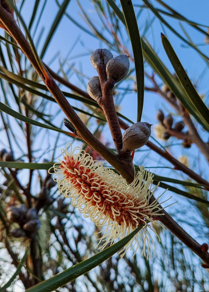
Originally, we’d planned to drive the Holland Track itself, but towing a caravan—even a small off-road one—proved impractical. The entry looked deceptively smooth, but we knew the track beyond was riddled with deep washouts. Instead, we lingered at the interpretive sign, absorbing the history and admiring the wildflowers. What a delicate bursts of colour against the rugged terrain.
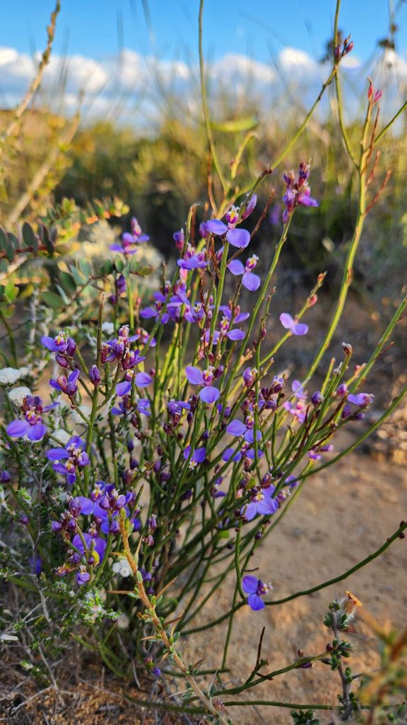
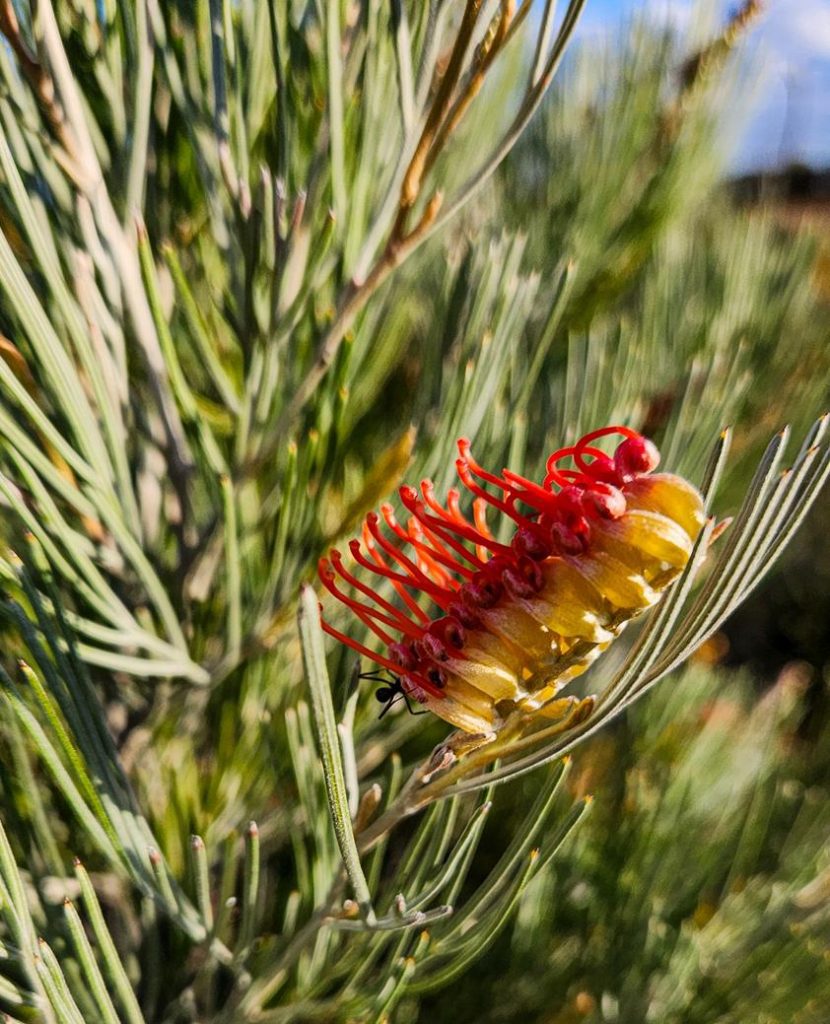
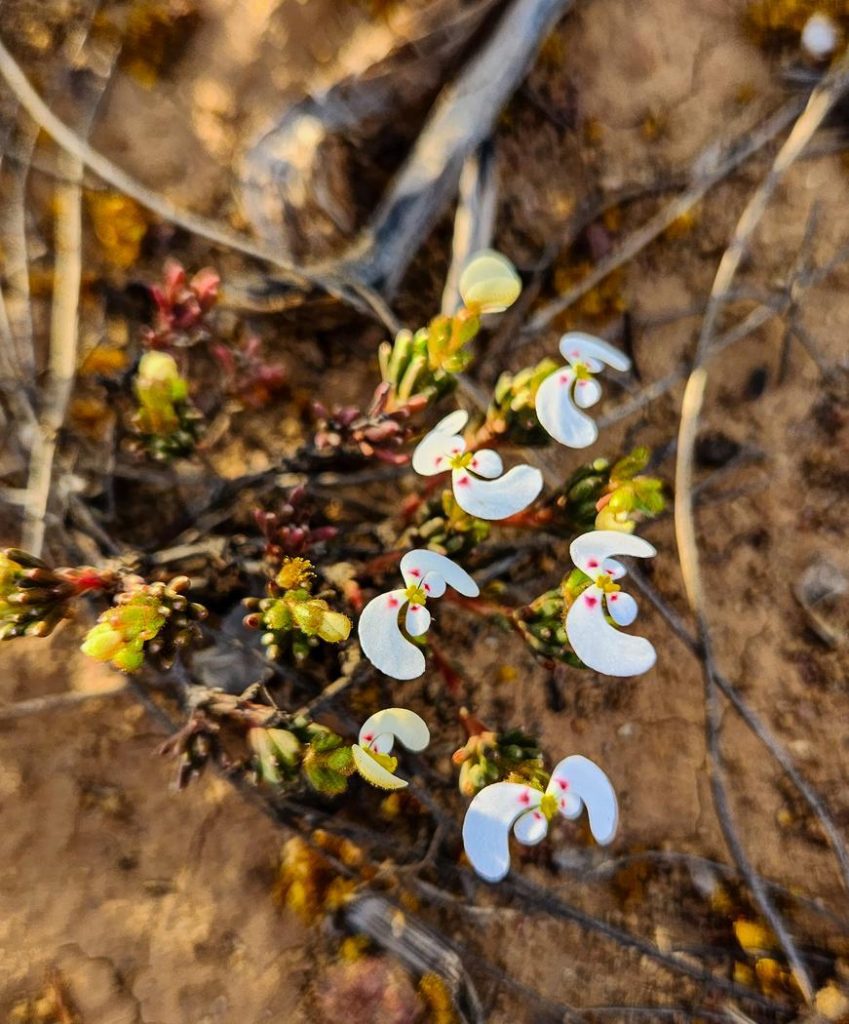
Comesperma scoparium Broom Milkwort (above left), Grevillea coccinea (above middle), Stylidium breviscapum Boomerang Triggerplant (above right).
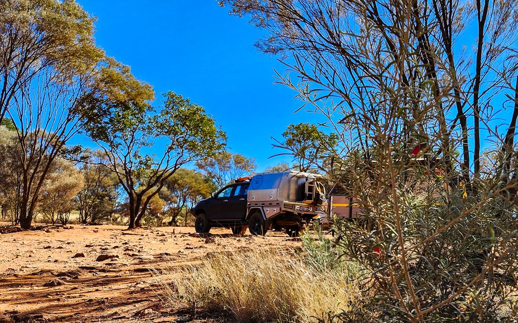
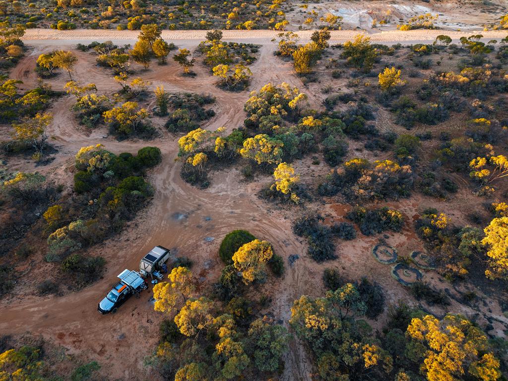
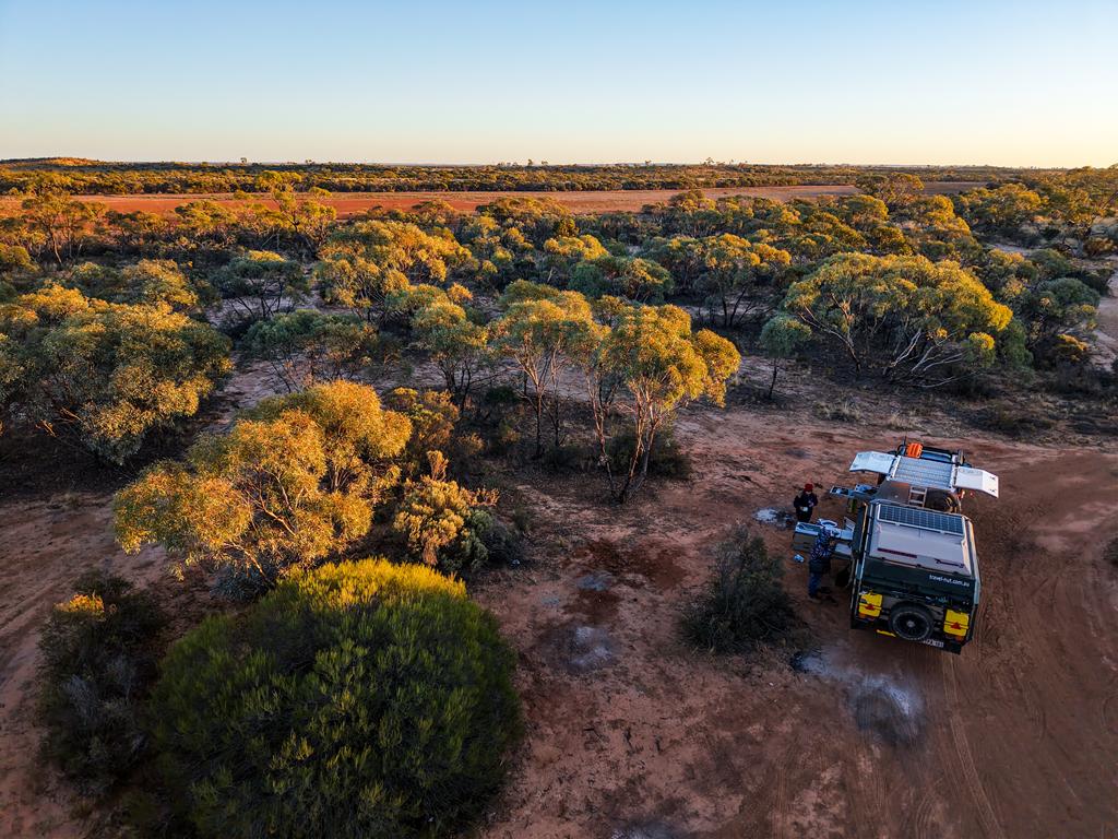
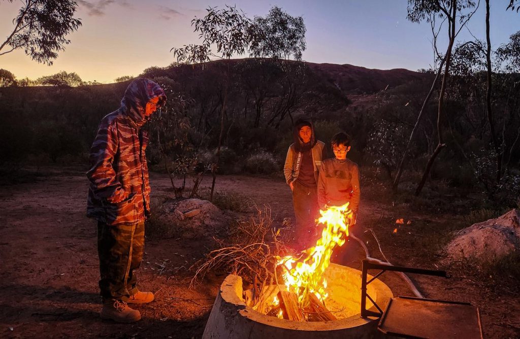
Forrestania Plots
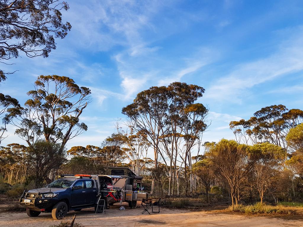
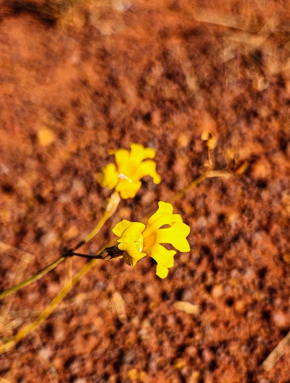
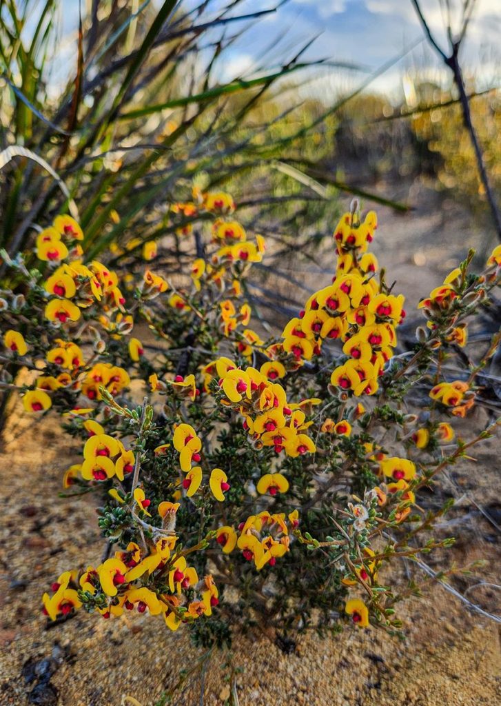
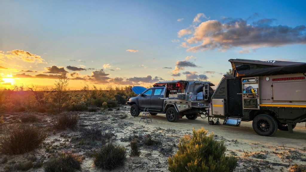
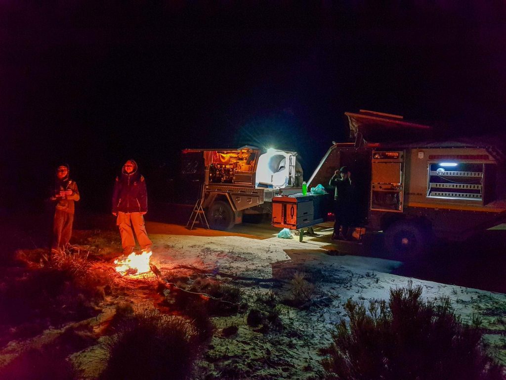
With daylight fading, we made camp at Forrestania Plots—a free, no-facilities campground nestled in the bush.
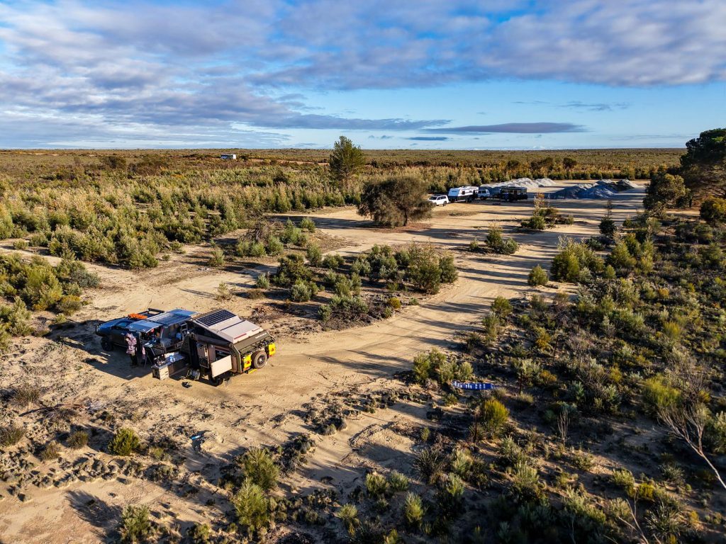
It’s a simple, cleared area, but the surrounding flora made it quietly beautiful.
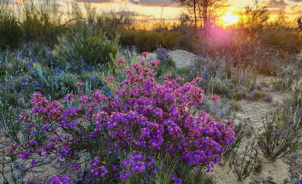
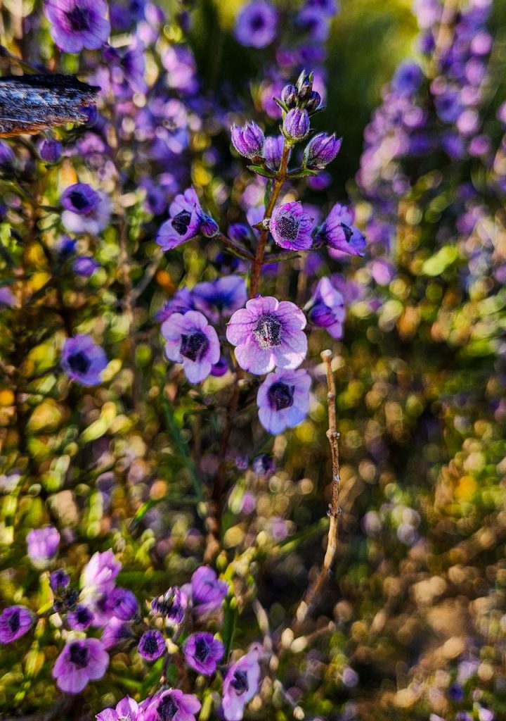
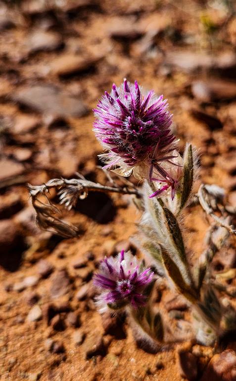
Balaustion pulcherrimum Native Pomegranate (above left), Calytrix leschenaultii (above middle), Cyanostegia Tinsel Flower (above right).
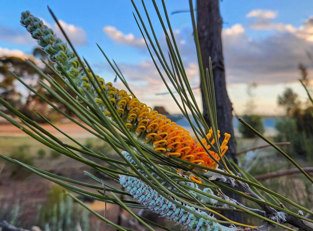
Grevillea excelsior (Flame Grevillea) stood tall and radiant (below left). Striking Hakea francisiana (Emu Tree) was also fascinating to see (below right).
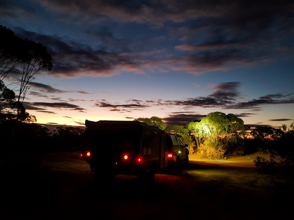
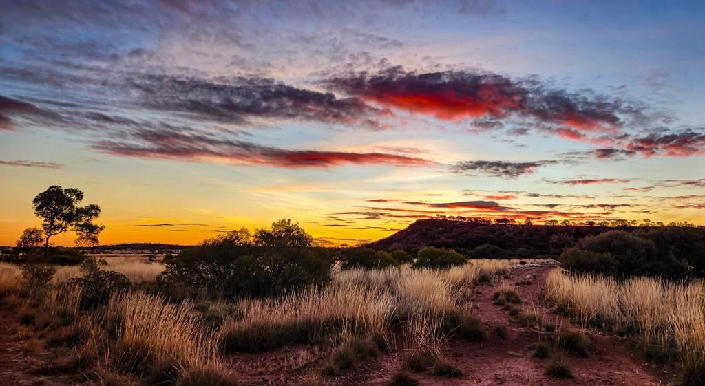
We watched the sun dip below the horizon, its golden light filtering through the foliage, then gathered around a campfire under the stars.
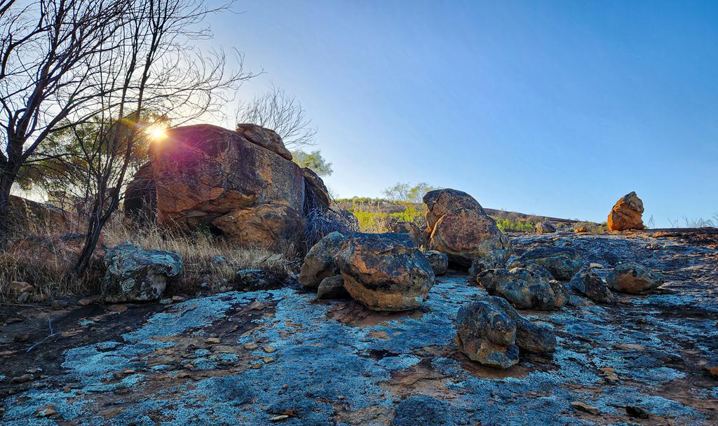
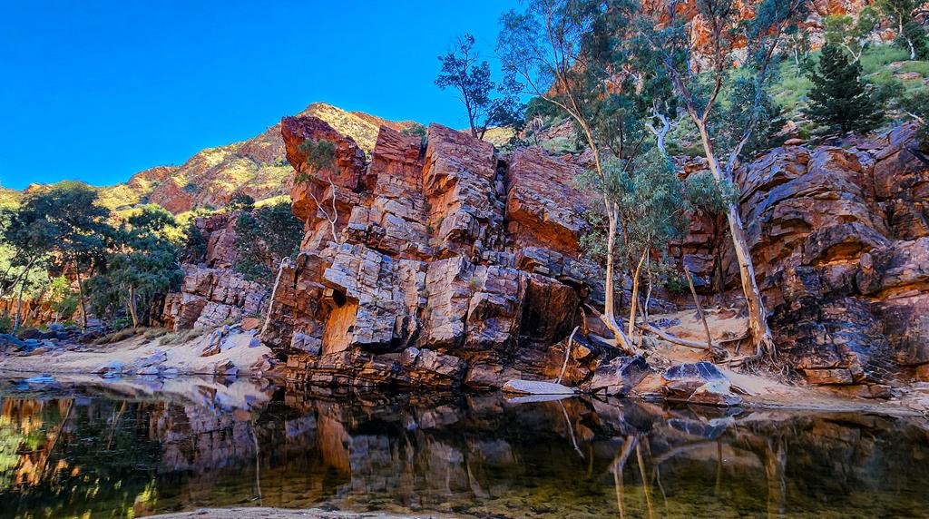
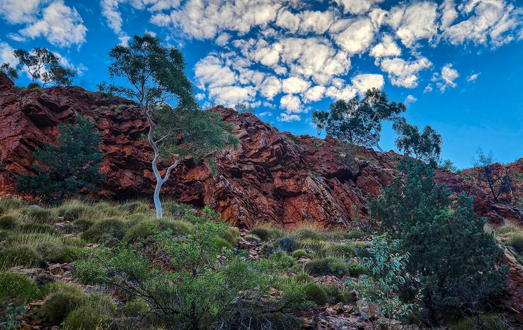
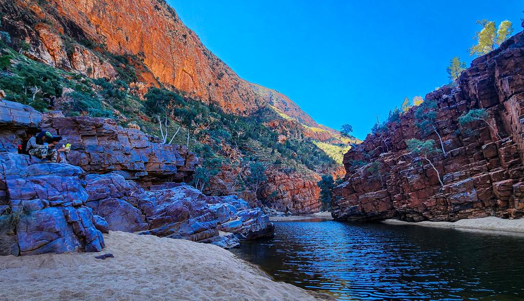
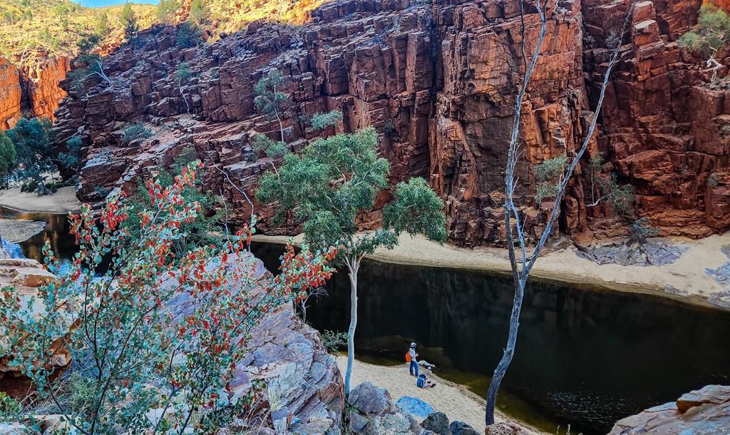
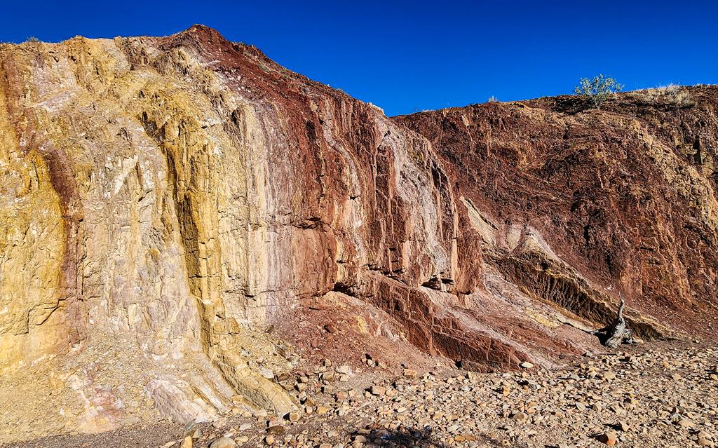
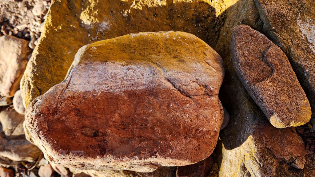
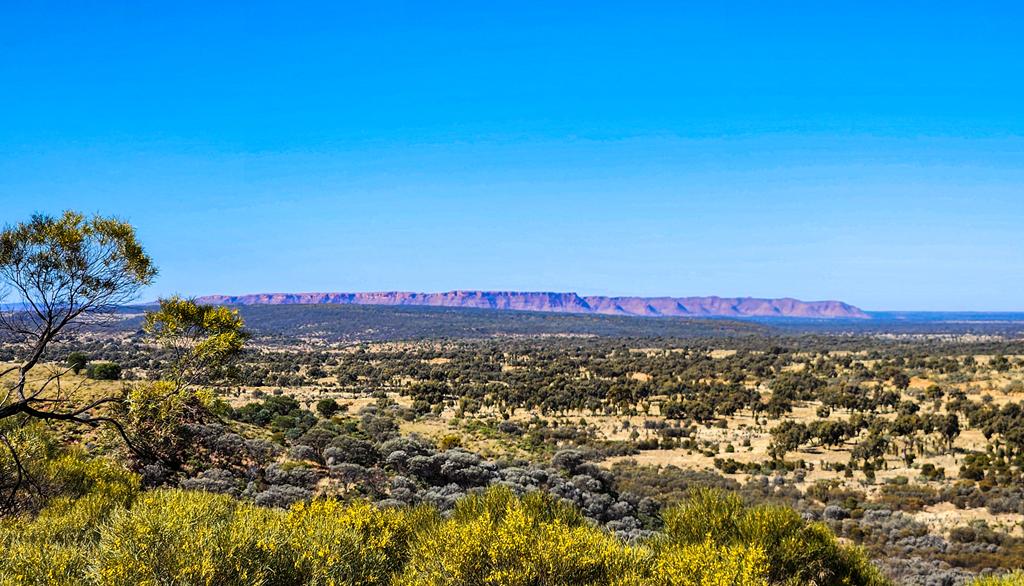
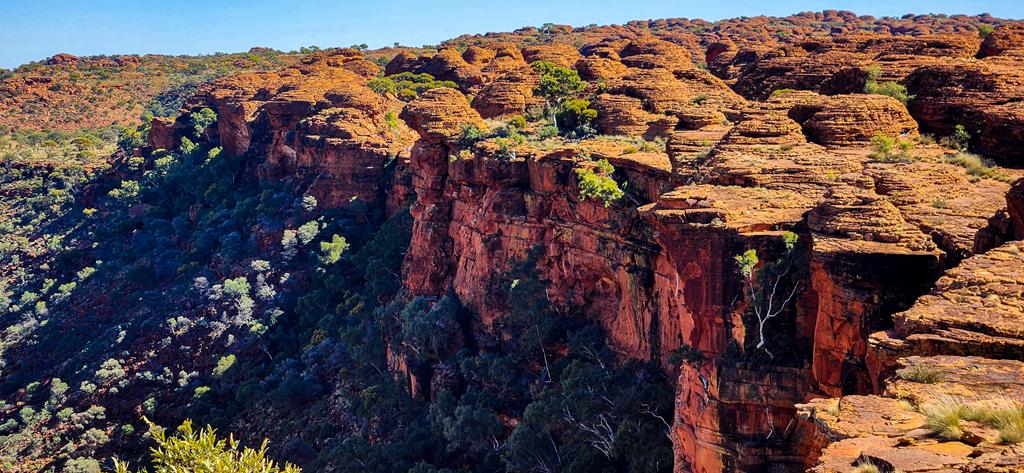
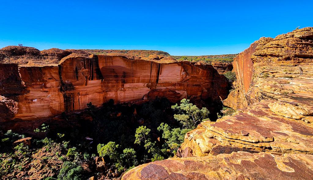
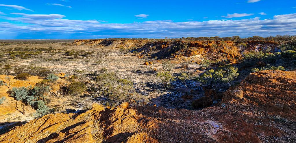
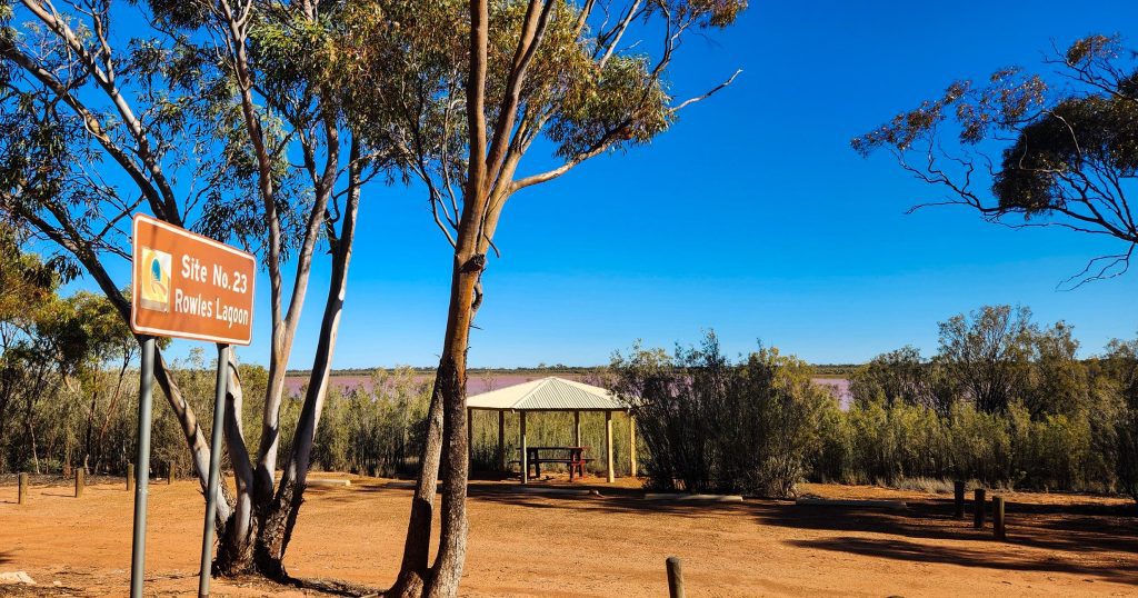
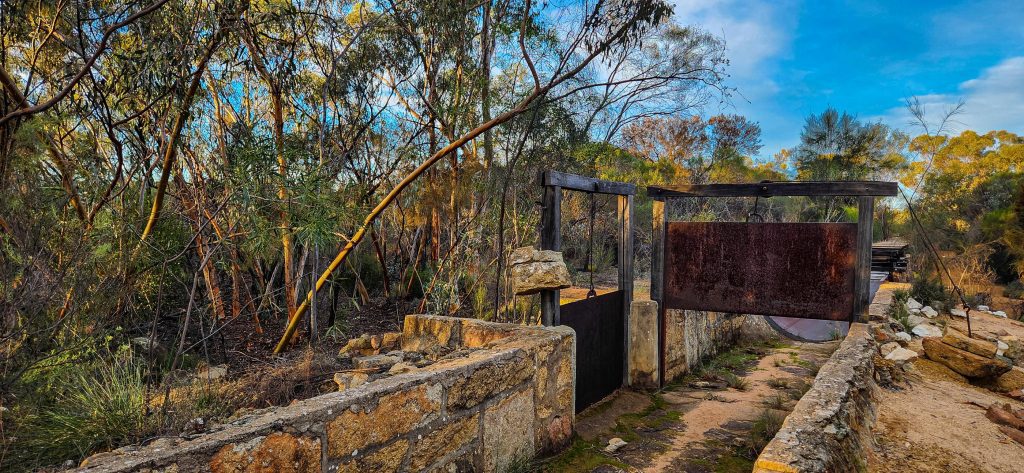
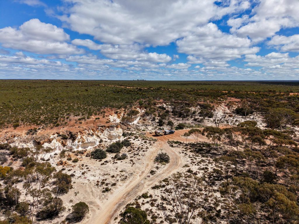
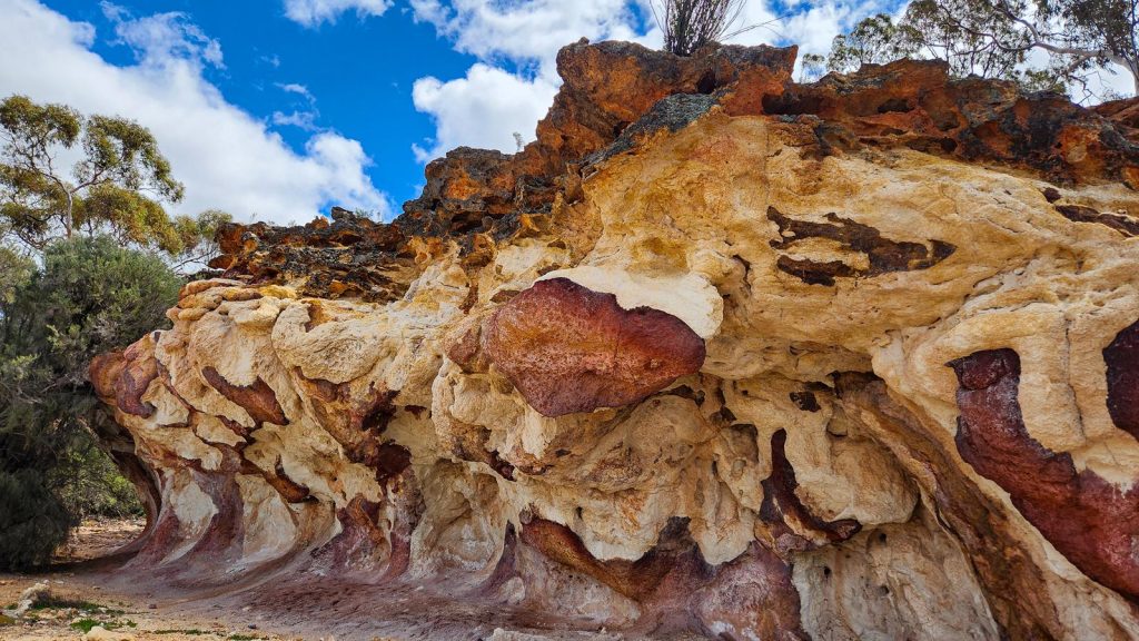
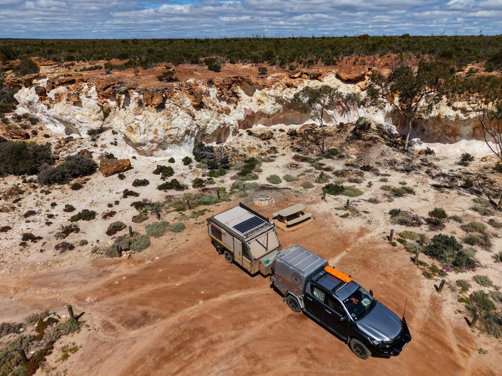
The Breakaways
Perhaps the most picturesque stop along the trail, The Breakaways offered a sense of peace and timelessness. The rock formations here are captivating—layered with colour, texture, and quiet mystery. We wandered for hours, tracing the contours of the land and soaking in its stillness.
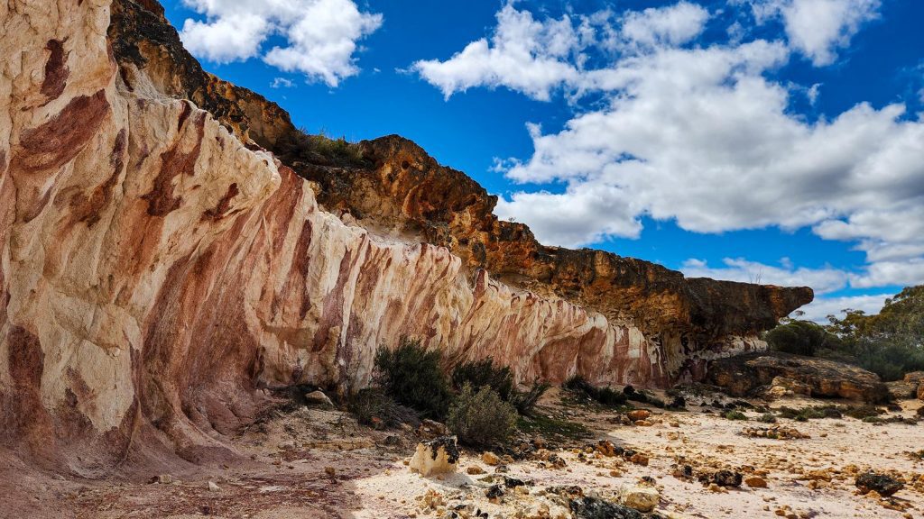
The site is well-equipped, with a spacious picnic and camping area, tables, fire rings, and a toilet. Though tempted to stay, we chose to continue our journey, carrying the calm of The Breakaways with us.
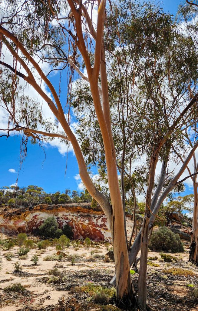
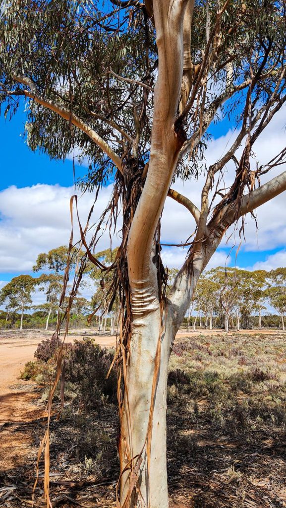
Eucalyptus vittata (ribbon mallet) is a unique eucalyptus tree that sheds its bark in long ribbons that sway gracefully in the wind, composing a soothing bush melody.
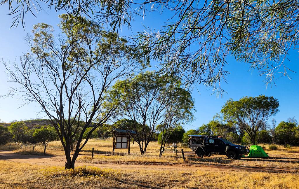
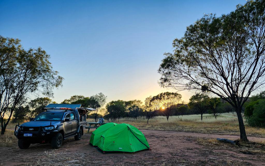
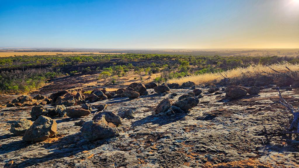
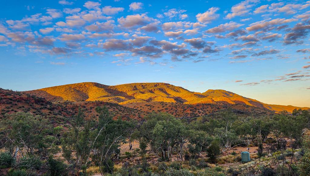
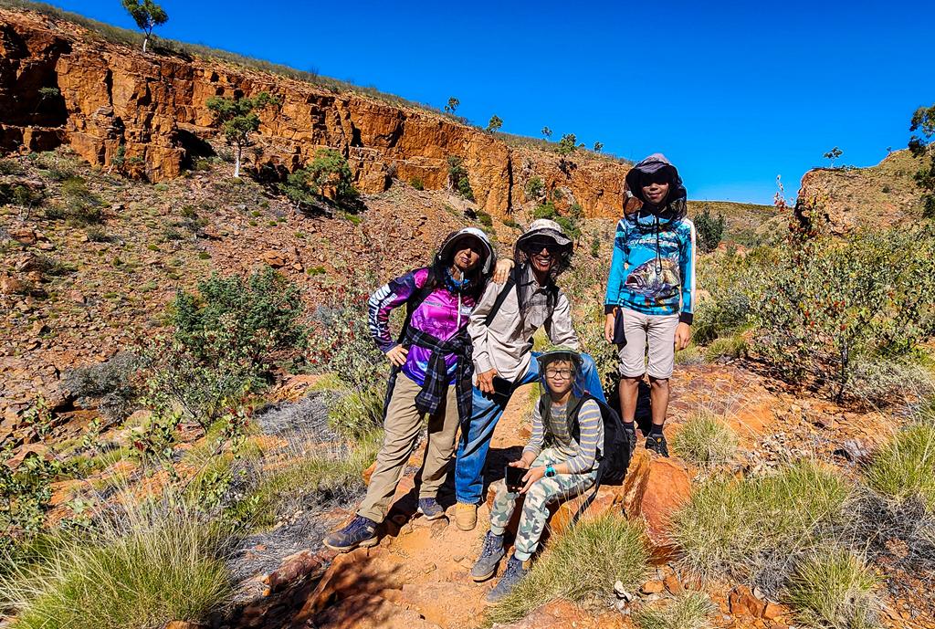
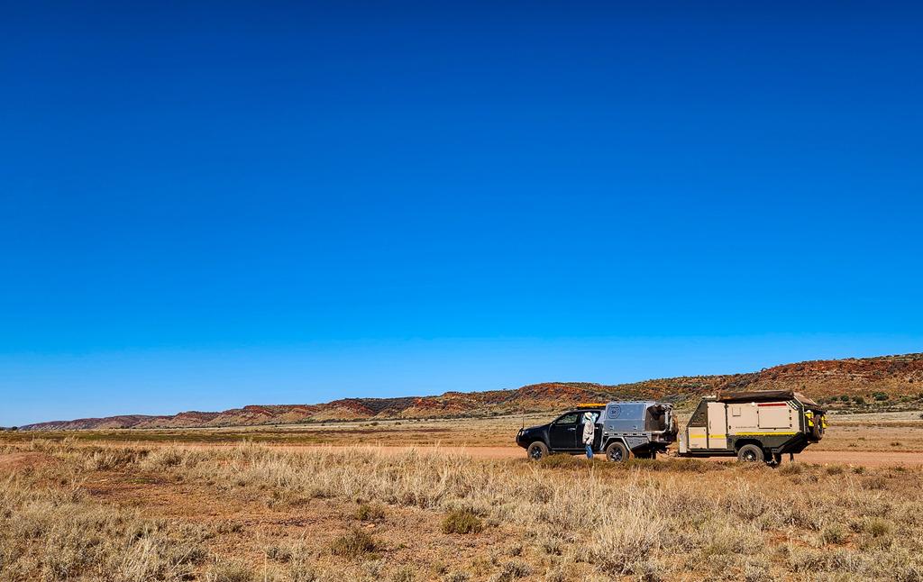
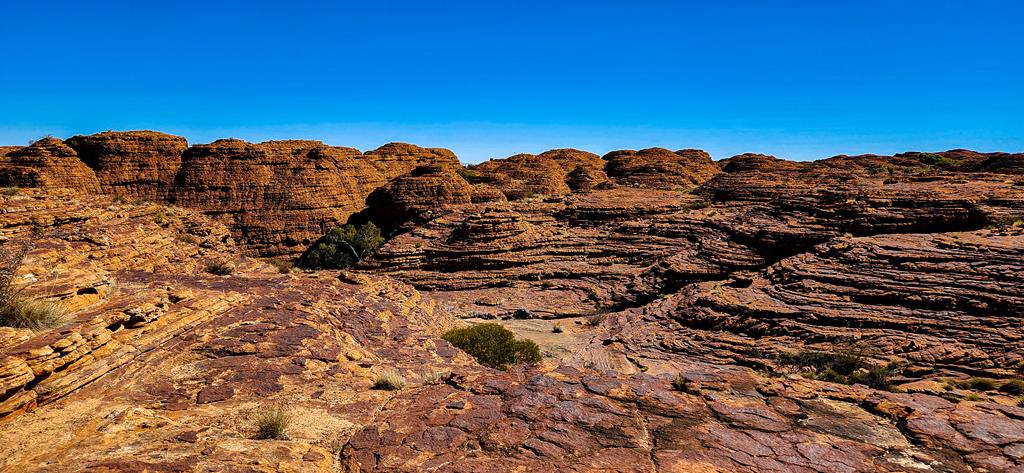
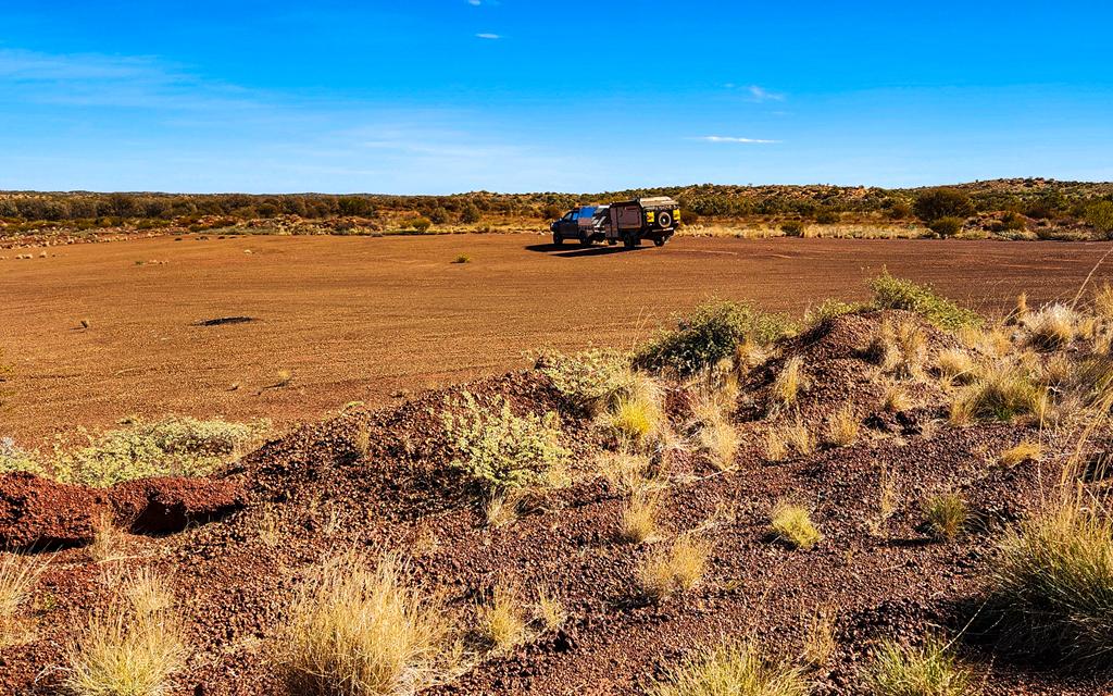
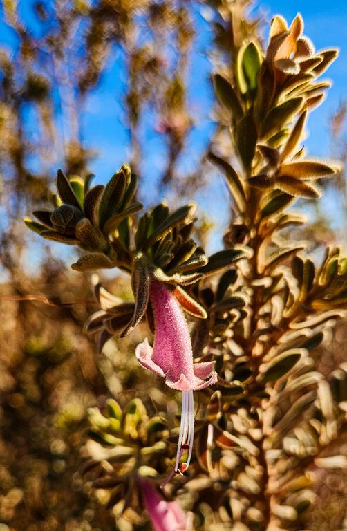
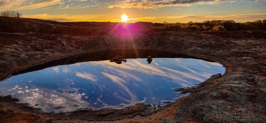
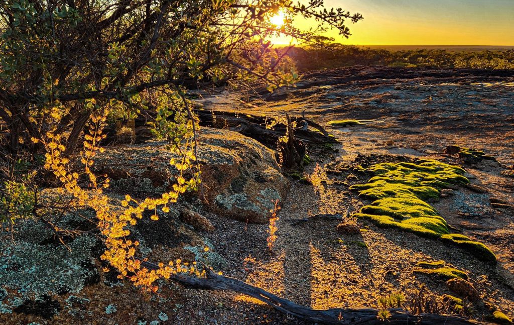
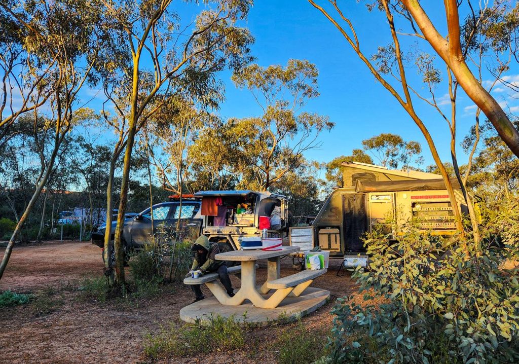
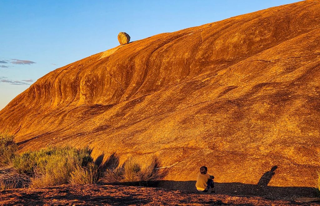
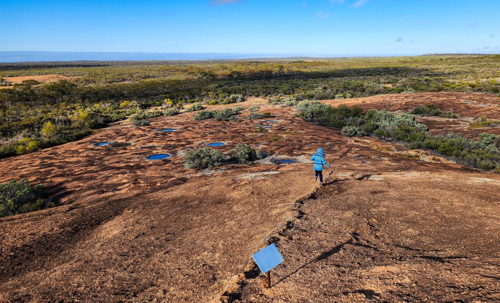
McDermid Rock
Our second stop along the Granite and Woodlands Discovery Trail (Hyden–Norseman Road) was McDermid Rock, site #9 on the trail. This striking granite outcrop is a wonderful place to pause—whether for a wander, a picnic, or an overnight stay.
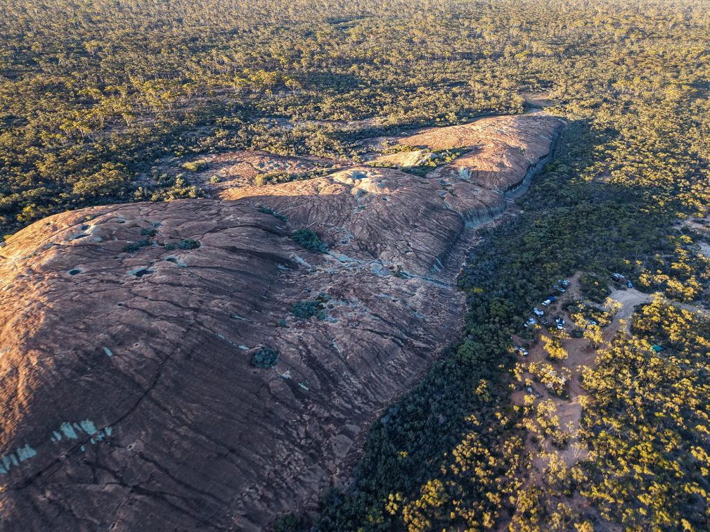
The site is well-equipped with a toilet, picnic tables, and fire rings, making it both scenic and practical.
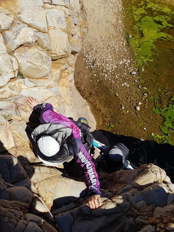
You can climb McDermid Rock and explore the surrounding area via a 1,271-meter interpretive trail. The walk begins with a steep ascent but soon levels out into an easy and enjoyable loop, dotted with informative signs that highlight the area’s natural and cultural history.
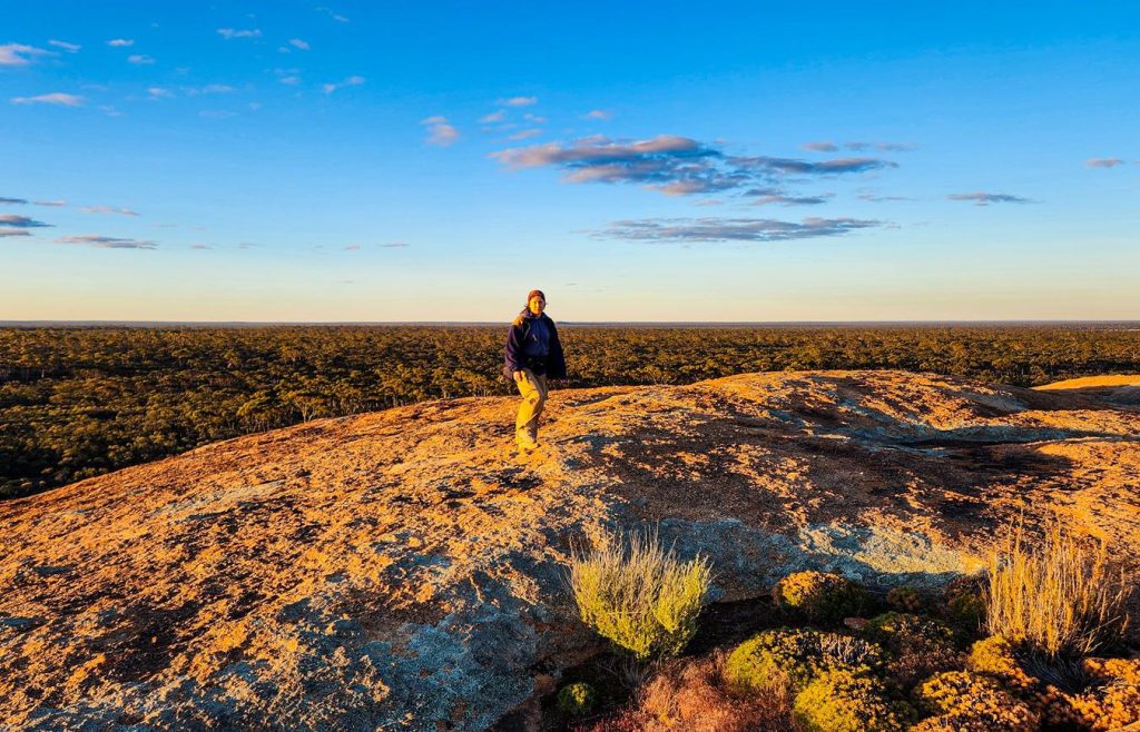
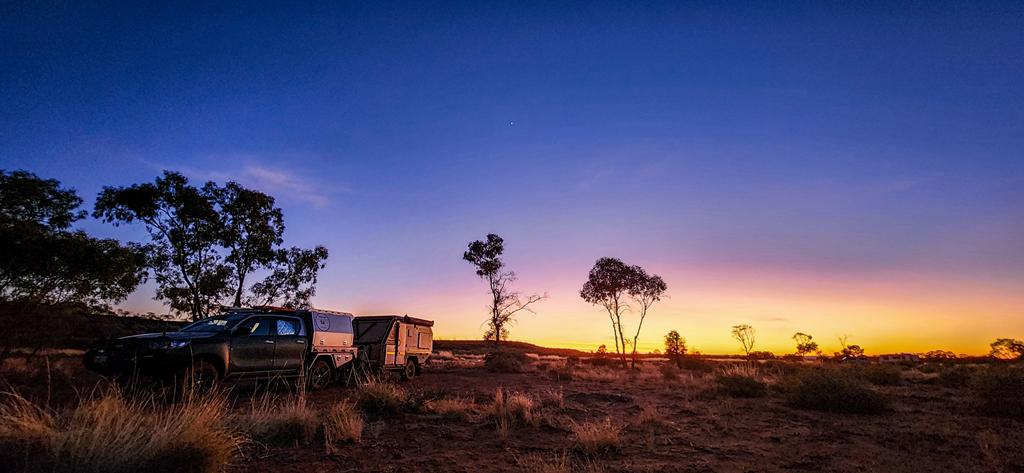
We camped there during the September school holidays, and while it was a popular spot, we arrived early enough to secure a great site. We loved our time at McDermid Rock—scrambling over the granite, soaking in the views, and gathering around a campfire under the stars.
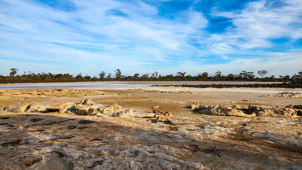
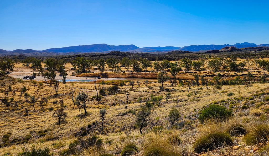
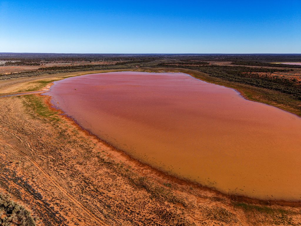
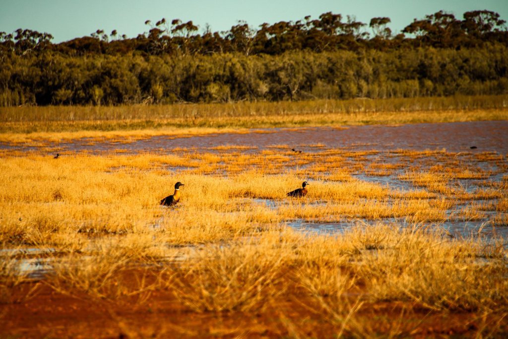
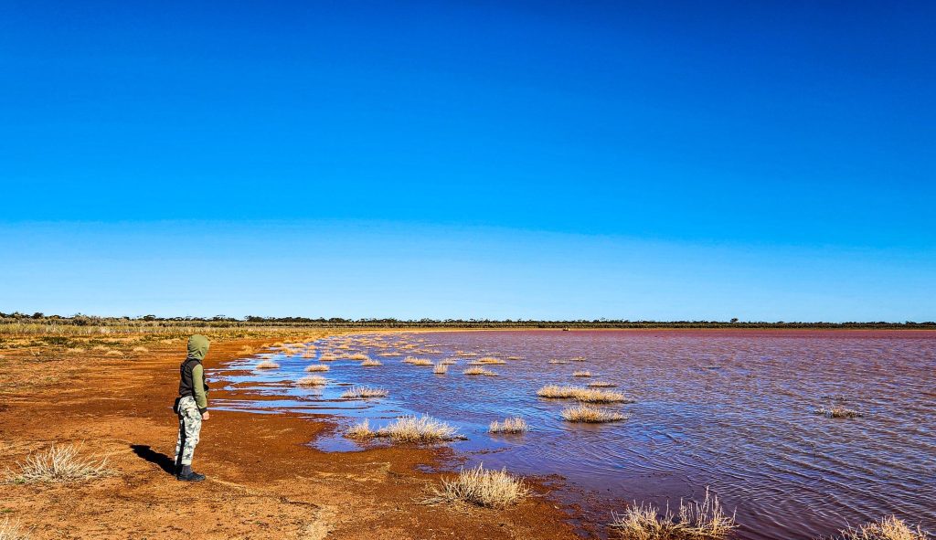
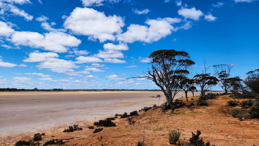
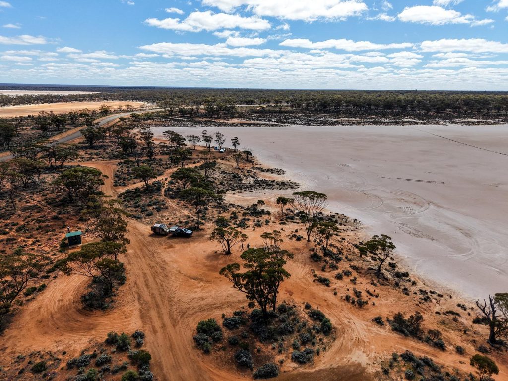
Lake Johnston
Lake Johnston is site #10 on the Granite and Woodlands Discovery Trail. It is a striking salt lake.
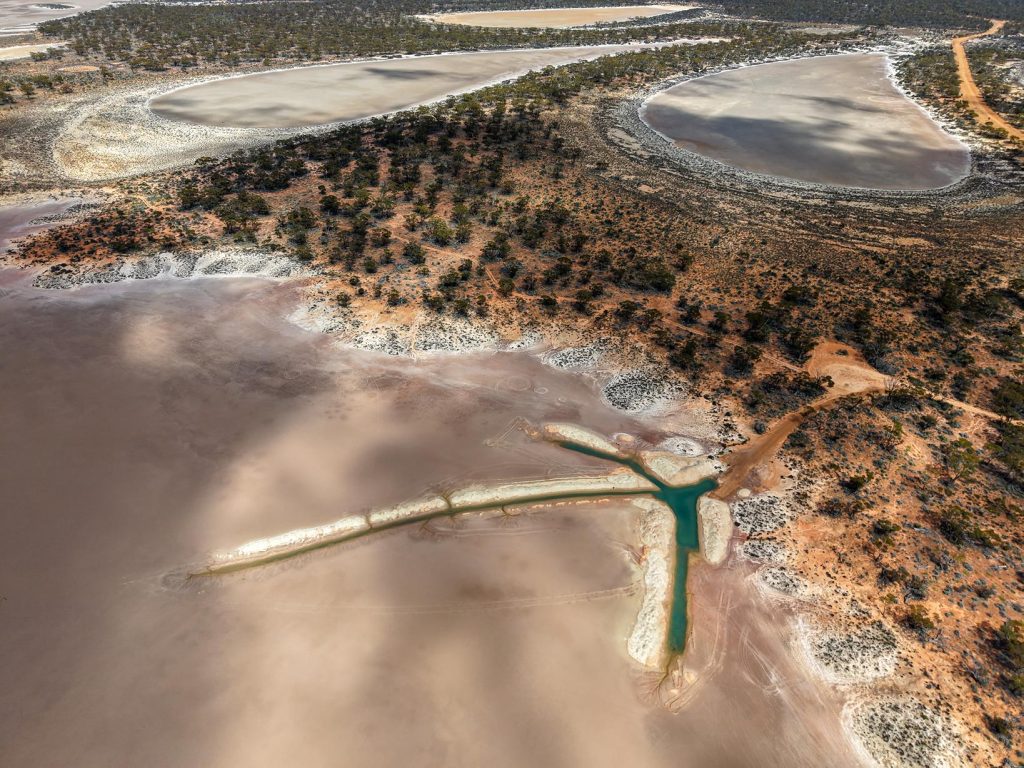
This tranquil spot offers a small but welcoming area for picnicking or camping, complete with a toilet and picnic table. It’s an ideal place to pause, take in the expansive views, and enjoy the serenity of the landscape.
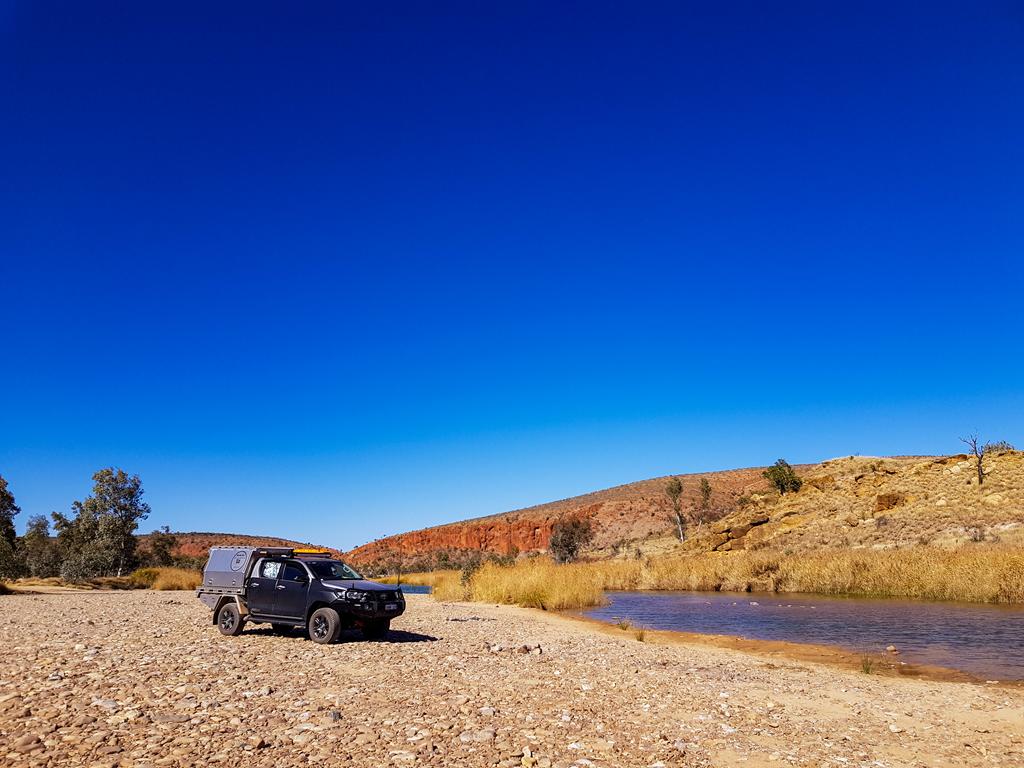
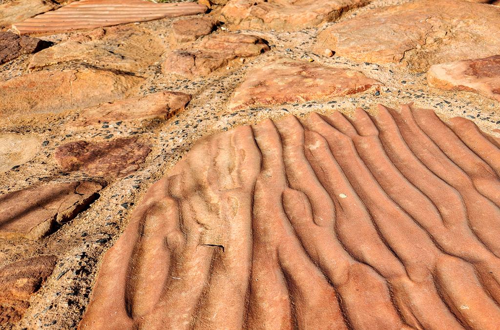
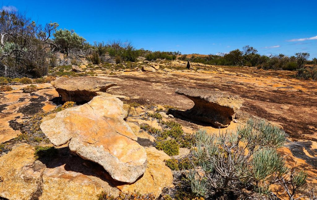
Disappointment Rock
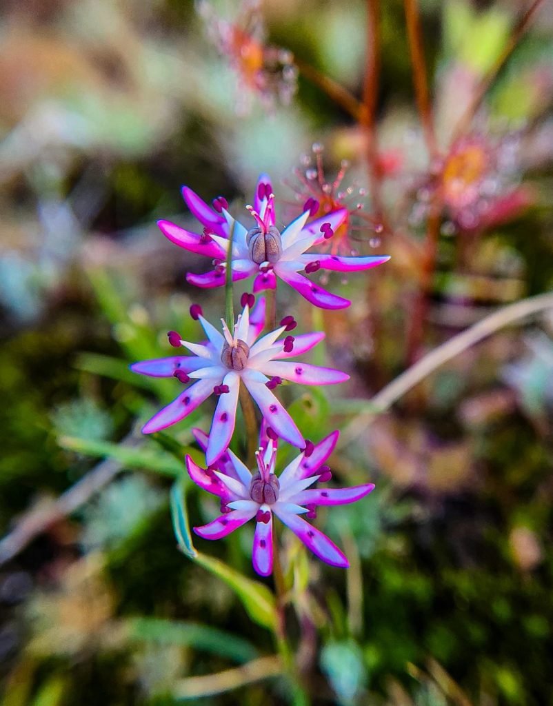
Our journey along the Granite and Woodlands Discovery Trail concluded at Disappointment Rock. Though there are no facilities here, the area features a scenic 1.9-kilometre hiking trail that traverses the rock and includes 17 interpretive signs offering insights into the local geology and ecology.
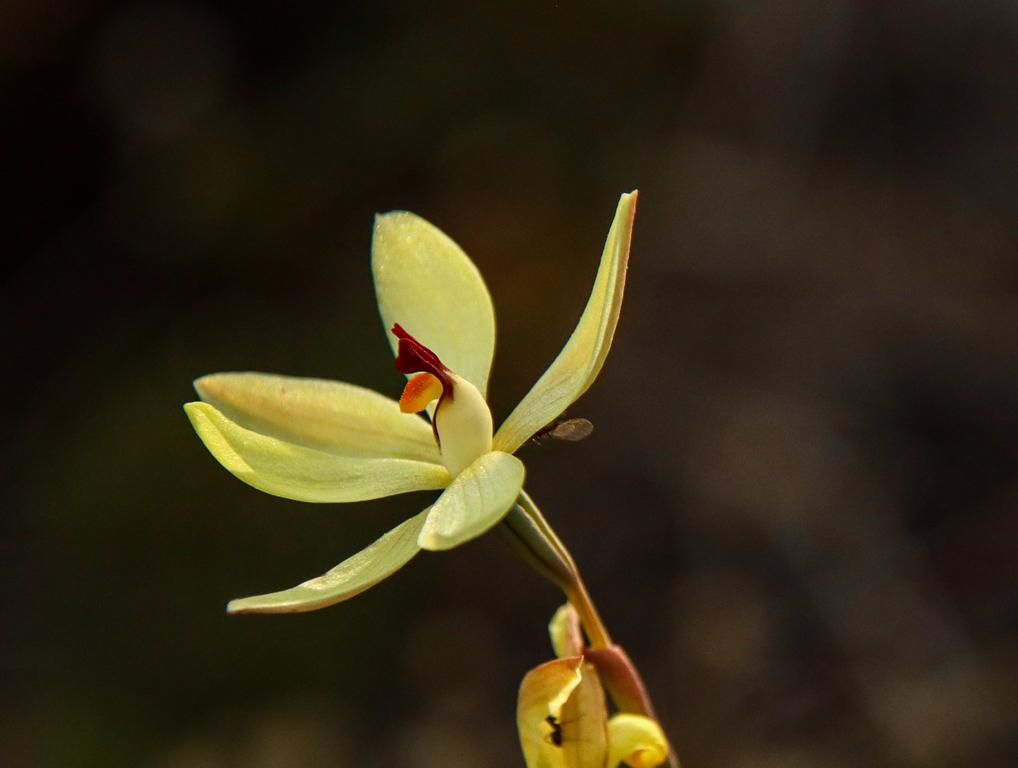
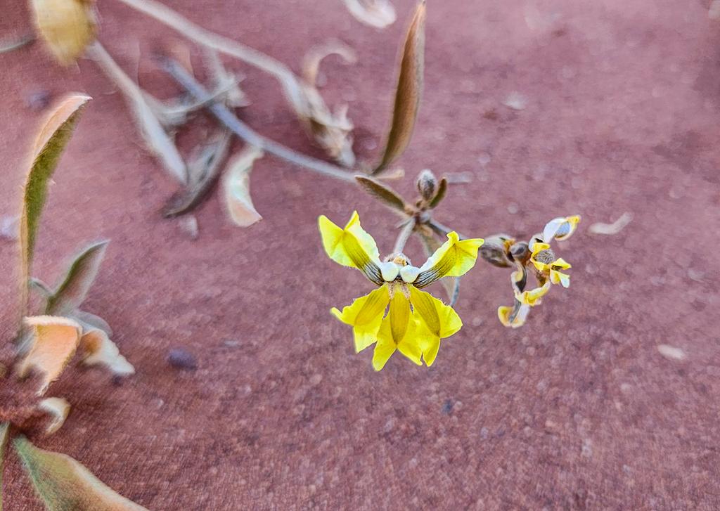
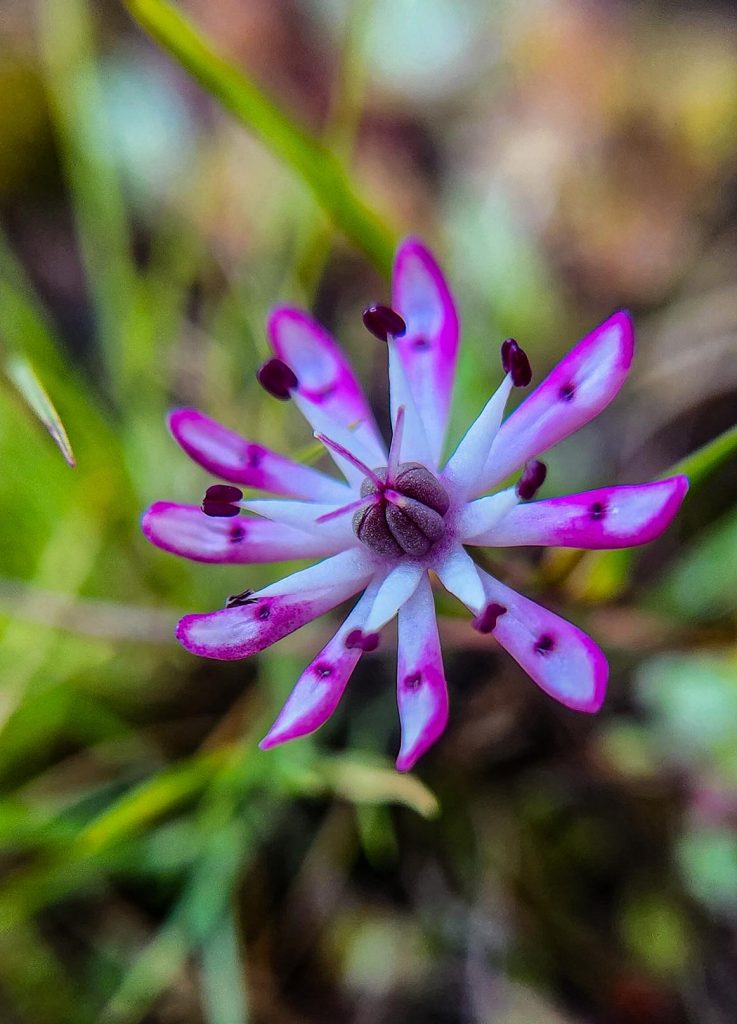
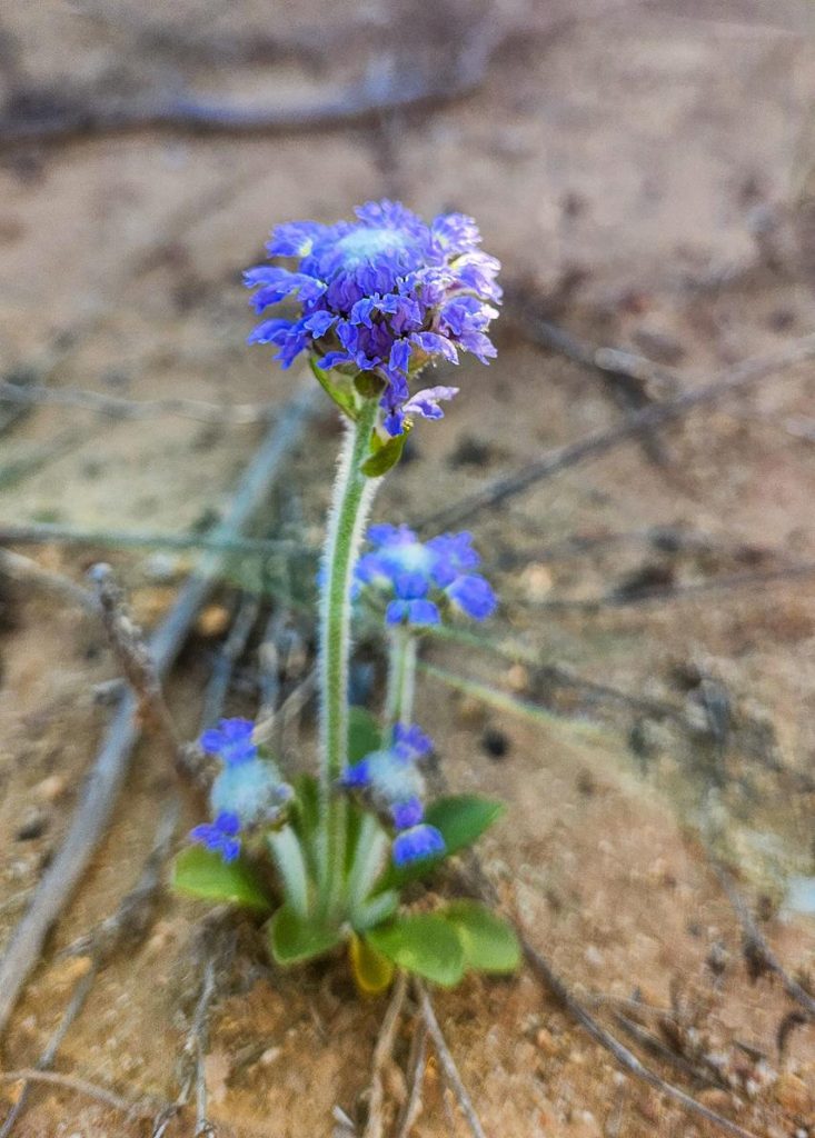
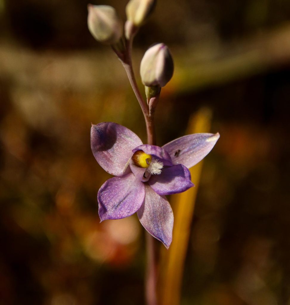
We didn’t have time to complete the full walk, as my main focus was spotting an open granite sun orchid (Thelymitra petrophila). After encountering many closed blooms, it was a true delight to find one fully open—thanks to the keen eyes of my youngest son.
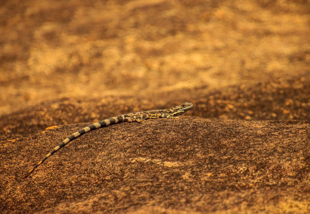
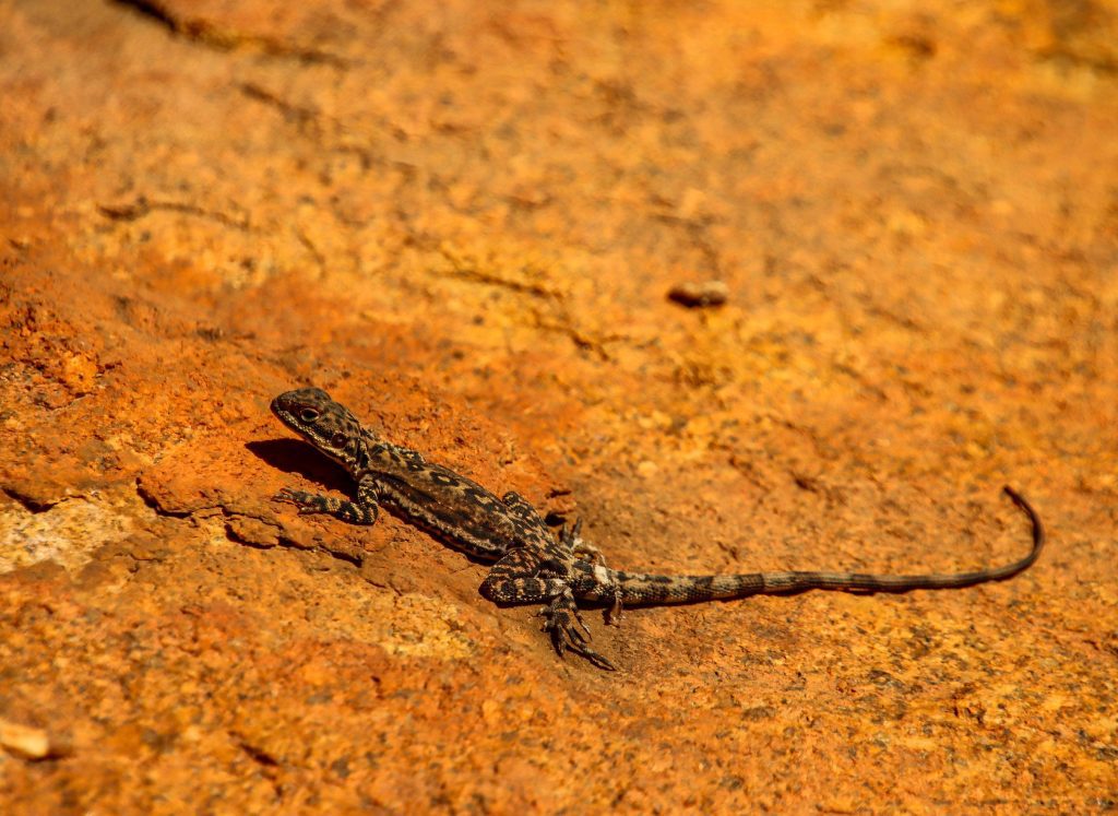
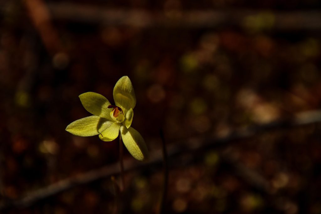
Along the way, we also spotted a few lemon-scented sun orchids (Thelymitra antennifera) and were treated to the sight of numerous Ornate Crevice-Dragon lizards basking in the sun.
Ornate Crevice-Dragon lizards were abundant at Disappointment Rock (below).