West Cape Howe National Park

West Cape Howe

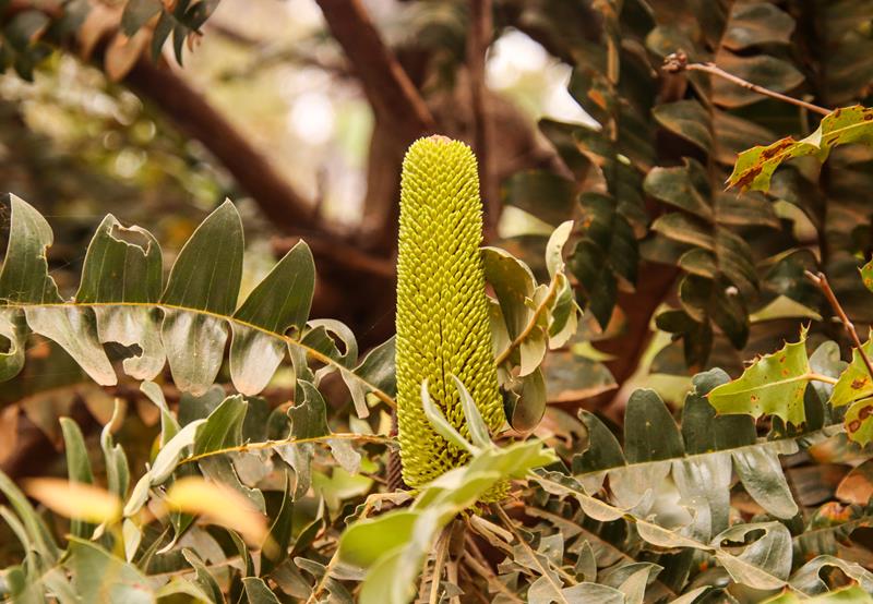
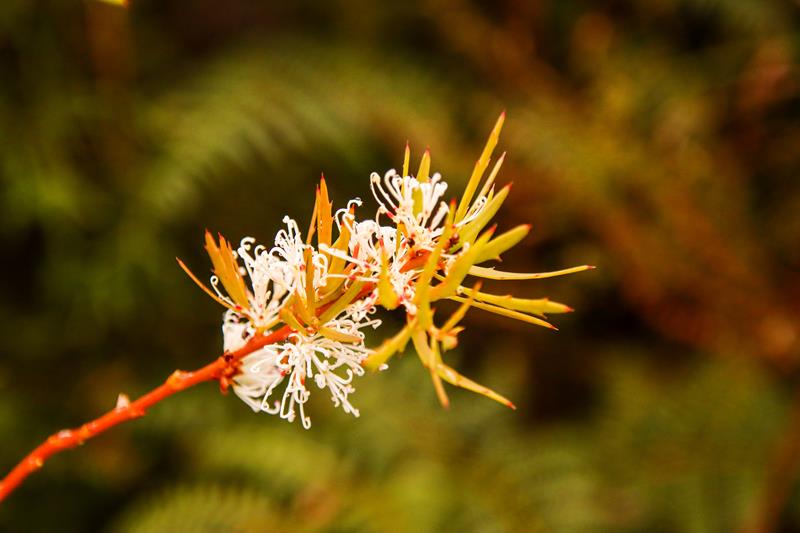
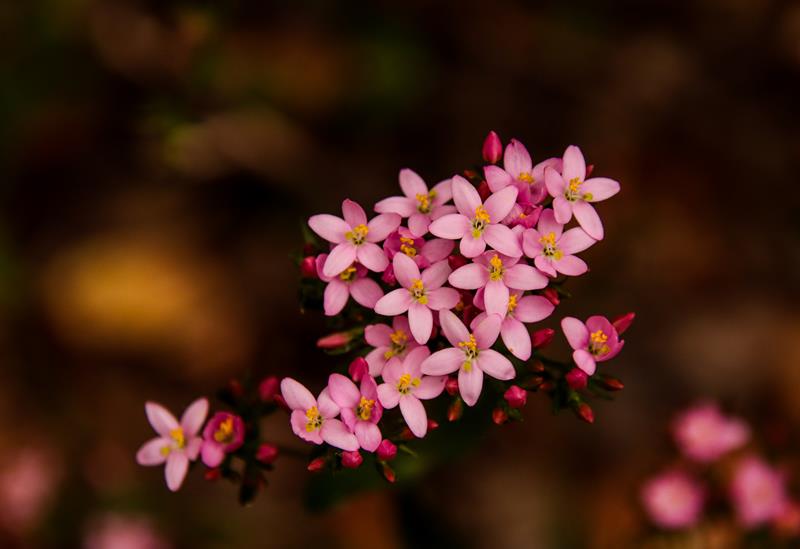
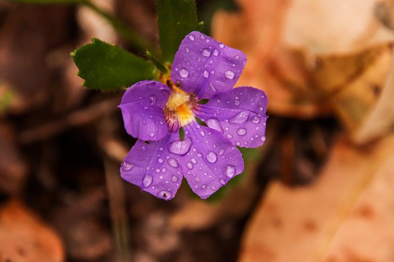
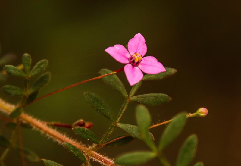
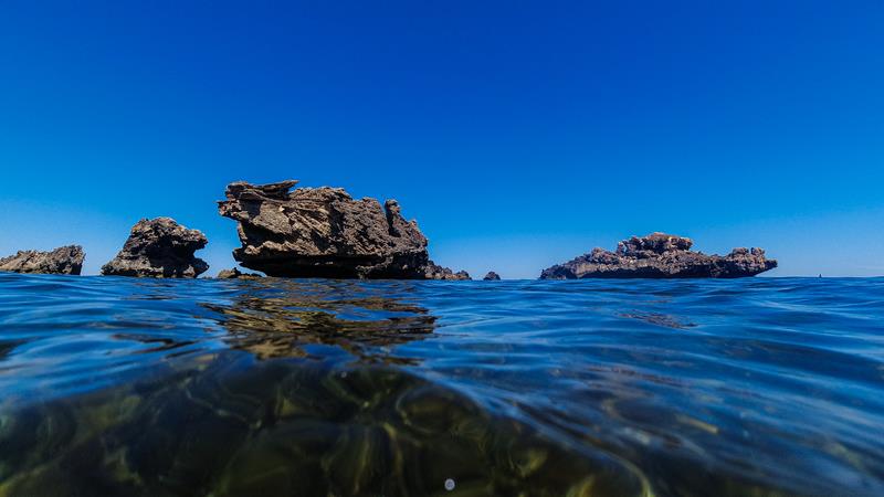
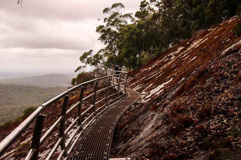
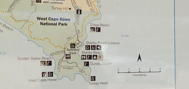
West Cape Howe National Park, half an hour drive from Albany, contains the most southerly point in Western Australia – Torbay Head. The park offers spectacular scenery with 23km of dramatic coastline dominated by black granite looking (it is actually dolerite) towering massive cliffs and headlands washed over by huge waves from the mighty Southern Ocean. The wind blowing straight from Antarctica is strong there. The black cliffs and white sandy beaches are contrasted with coastal heathland and further inland there is karri forest. For the most part, the park is accessible either by foot or reliable 4WD (except for Shelley Beach). Together with D’Entrecasteaux National Park, West Cape Howe is our favourite.

Shelley Beach (2WD accessible)

Shelley Beach

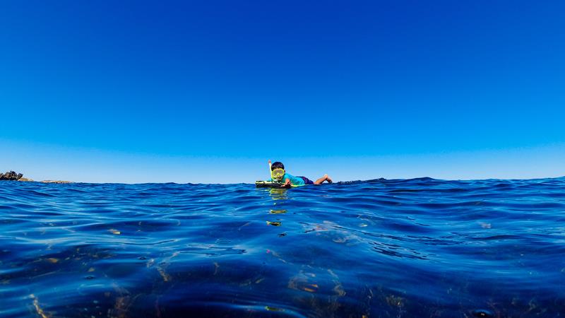
Located half an hour drive from Albany, Shelley Beach is a spectacular and rather popular beach with turquoise waters, white sand and cool breeze. Close to even more popular Cosy Corner beach, we found Shelley Beach a lot more interesting and attractive.

Camping at West Cape Howe NP

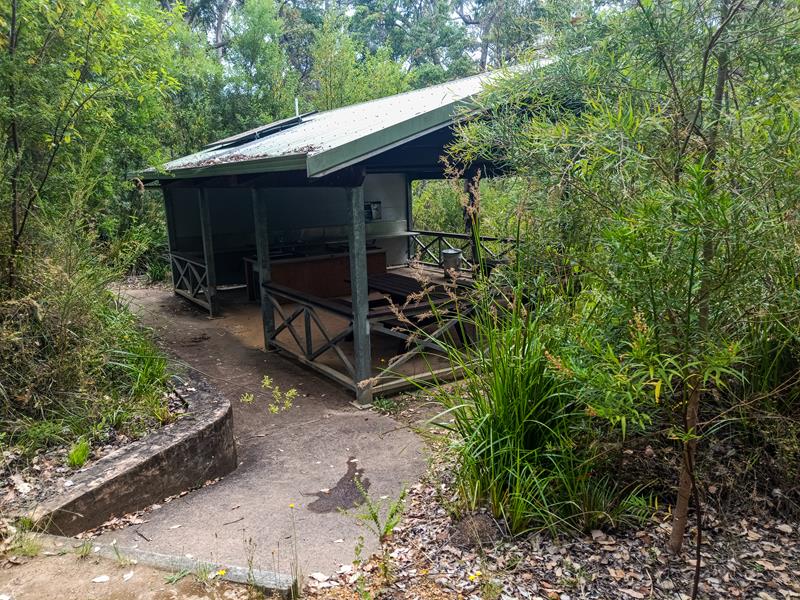
The only place to camp at West Cape Howe National Park is at Shelley Beach campground. It is a small campground with basic facilities, which we actually liked more than Cosy Corner campground. Having said that, Shelley Beach campground is a lot more exposed to the elements and does not have any privacy.

Shelley Beach campground

It is rather small with two camping areas – tent sites only area on the grass with vehicles parked in the carpark and campervan area on the opposite side of the carpark with the ocean view. No caravans or camper trailers are permitted. Dogs are not allowed. The cost of camping is $11 per adult per night. Facilities include a drop toilet only. The sites are not bookable.

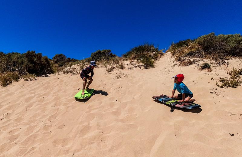
However, the views are fantastic and this place is well worth visiting, even if only for a day trip.

Testing your 4WDriving skills

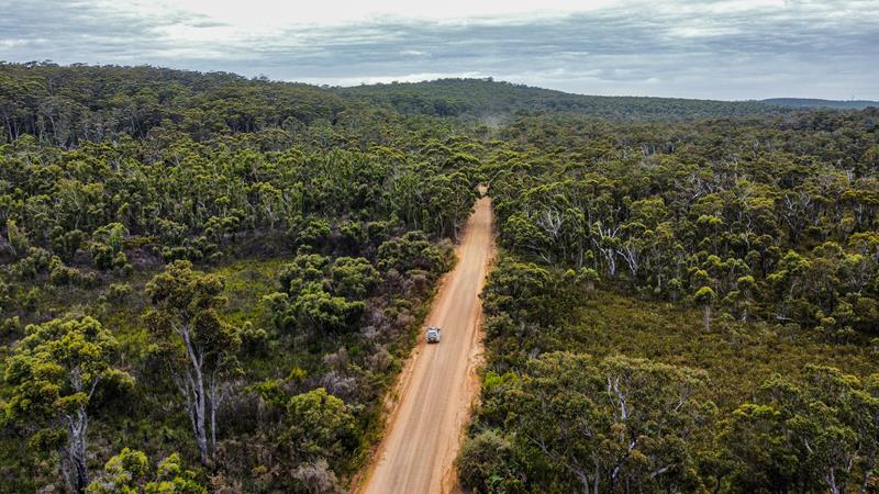
West Cape Howe National Park is the place to test your 4WD skills. We found it the most challenging and remote place we’ve visited so far. With very soft sand, stones, slopes going up and down, occassionally narrow lanes and overgrown vegetation, West Cape Howe NP is undeniably a 4WD lovers paradise. In our humble opinion, the tracks are not for the faint hearted, especially when you tackle them on your own.

Know your limits

You should certainly be well prepared when you tackle 4WD tracks on your own. We got bogged a couple of times but managed to get out. We’ve seen someone else got bogged, who had to ask for help to be pulled out with the winch.

At some point we had to turn back (along Dunsky Track going toward Torbay Head) because the track looked too soft and the chance of getting bogged there was very high.

With absolutely no other vehicle nearby, it was too risky to proceed any further once we got to what it looked like a fork that led to a ravine. You need to make your own judgement.

At this point we turned back

This place is so remote, that there are even no signs to identify where you are when you finally manage to get to your destination. With no map, other than the map provided at the entrance to the park, we had to guess where we were!

Almost the most southern point of Western Australia

So, we guessed that we got to West Cape Howe point (and we checked later that it was correct). West Cape Howe was very spectacular, pristine and untouched, with its dramatic black cliffs, crushing waves. We even felt like first explorers discovering a new land.

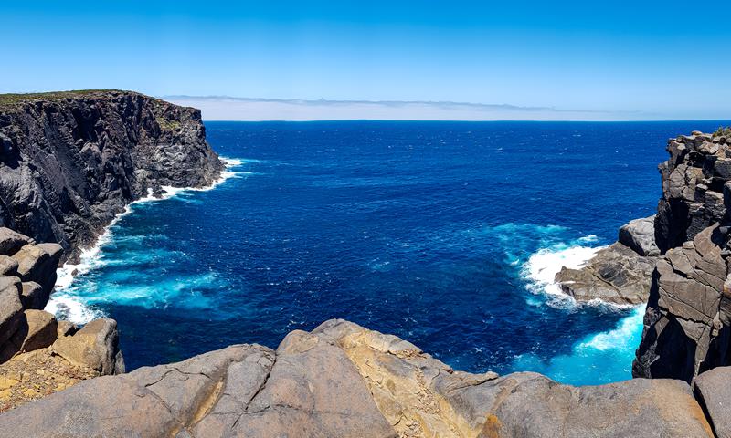
West Cape Howe is also a popular place for experienced rock climbers.

Unfortunately, we didn’t get to Torbay Head (the most southern point of Western Australia) but the scenery is probably more impressive at West Cape Howe and we definitely enjoyed exploring it.

Wildflowers at Mount Frankland

Tattered Trigger plant at Mount Frankland
Tattered Trigger Plant Stylidium laciniatum

Wildflowers at Mount Frankland can be found blooming throughout the whole year, as different flowers bloom at different times of the year. We found Mount Frankland National Park quite abundant in wildflowers when we visited it early January. Below are some of the wildflowers we have seen and photographed.

Below left: Bull Banksia Banksia grandis. Below middle: Candle-spike Hakea Hakea ruscifolia. Below right: Fly-away Trigger Plant Stylidium caespitosum.

Below left: Goodenia eatoniana. Below middle: Crowea species. Below right: Scaevola calliptera.

Below left: Hemigenia (possibly incana). Below middle: Xanthosia rotundifolia Southern Cross. Below right: Karri Boronia Boronia gracilipes.

Below left: Kingia Australis. Below top right: Pimelea. Below bottom right: Many-flowerd Fringed Lily Thysanotus multiflorus.

Cape Peron (Rockingham)

Limestone rock above clear sea water and corals below at Cape Peron (Rockingham)
Cape Peron limestone rock formations near beach

Cape Peron (Rockingham), 45 minutes’ drive south from Perth, is a long stretch of land, surrounded by the Shoalwater Islands Marine Park. It is a popular place yet with plenty of space and a few entrances to the beach.

With numerous limestone reefs, overhangs, caves and swimthroughs close to the beach, it is an interesting place for exploration whether it is snorkeling, skuba diving or just walking.

There is plenty of marine life to observe.

The waters are quite shallow and safe for swimming.

The underwater is amazing to explore but sand boarding on the beach was fun for our kids too.

Sandboarding at the beach

Cape Peron (Rockingham) is a great place to visit as a day trip, especially in summer, when the weather is hot.

Mount Frankland National Park (Walpole Wilderness)

Driving through Mount Frankland National Park

Walpole Wilderness

Mount Frankland National Park, 29km north east of Walpole, in the South West, is part of the Walpole Wilderness. It is the area of wild landscape that is untouched by human activity and any technological intervention. You can have a bird’s eye view of that wilderness that includes majestic karri, tingle, marri and jarrah forest from Mt Frankland Wilderness Lookout. It is a short walk from the carpark, universally accessible.

Mount Frankland Wilderness Lookout

For those seeking more adventure and physical workout there are two trails leading to 411meter high granite rock Mt Frankland. We followed 600-meter-long bitumen Summit Trail to the base, while enjoying the scenery and wildflowers on the way. To get to the summit, one needs to climb a ladder and over 300 steps.

It is strenuous and quite steep 200 meters climb to the summit where there is a Towerman’s lookout. The sweeping views of the surrounding area from the summit are quite impressive. Interestingly, Towerman’s station is still in operation for recording weather and smoke (fire) during dry months between December and April. We even had a chance to go inside and talk to “the weather woman” Susan, who was on duty at the time.

On the way down we took Caldyanup trail – 1,6km loop around the base of the granite rock. The trail goes up and down with some small rocks and uneven parts through a mixed forest (moderate difficulty walk). Part of the trail is Soho Lookout – a newly constructed metal bridge, offering views of the forest below and around.

Soho Lookout

There is no entry fee to the park. Dogs are not allowed.

Where to camp in Mount Frankland National Park

If you are visiting Mount Frankland and are looking for a camping place nearby, then Fernhook Falls DPAW managed campground is a great choice and is only 20km away. It offers excellent facilities, which are well-maintained and cleaned daily. There are only 8 camp spots there, each one with a picnic table, fire ring and rubbish bin. There are also 2 huts with a bunkbed (but can accommodate at least 2 more people on the floor) with a fireplace and outside rain water tank – perfect for hikers!

The campground also has a kitchen area with a sink, tables and bbq plate. For $15 per person per night, we thought it was a good value.

Camping spots have a lot of privacy, are well spaced from each other, yet close to amenities. The whole campground is within the mixed karri, jarrah and tingle forest.

There are some nice short walks around the campground leading to Fernhook Falls and Rowell’s Pool created by the Deep River, passing through the region. Interestingly, the Deep River, although it looks dark brown due to the presence of tannin from native plants breaking down in the river, is actually one of the purest rivers in the south, because 95% of it is flowing through the forested catchment areas.

You cannot book the campground and payment is by cash only. It is quite a popular place even during hot months, so it is best to arrive early. Unfortunately, you cannot bring a dog to the campground. We enjoyed our 2 -day stay at the campground in January and it’s one of the places we would love to visit again in winter when we could enjoy lighting a fire.  

Fernhook Falls

Big Brook Dam

Big Brook Dam near Pemberton

Big Brook Dam is one of the attractions along the Karri Forest Explorer Drive, near Pemberton. It was built in 1986 as an additional water supply for Pemberton. These days it is mostly the place for many recreational activities in the area. It is a great place for kayaking and fishing. The Big Brook Dam 4km sealed walk trail along the shores of the dam is very picturesque. It is a great place for walking, strolling and photographing. There is also a sandy beach area, ideal for swimming on a hot day or just picnicking, with shelters, picnic tables and bbqs. Dogs on leash are allowed around the dam (but not on the beach).

Big Brook Dam is a heaven for birdlife. Below: Grey Fantail (top left), Musk Duck (top right), Black Swan (bottom right), Purple Swamphen (bottom centre).

Where to camp

You can camp at Big Brook Arboretum, 3km away from Big Brook Dam along the Karri Forest Explorer Drive. Nestled in the forest, it is a nice small campground with only basic facilities (toilet) but it can accomodate both tents and caravans. We stayed at Drafty’s in nearby Warren National Park (only 20 minutes drive from Big Brook Arboretum) and highly recommend it.

Above: Big Brook Arboretum

If you are visiting Pemberton and have time, make sure you visit nearby Warren National Park with their famous Dave Evans Bicentennial and Marianne North trees and Warren River.

Travel Nut Family