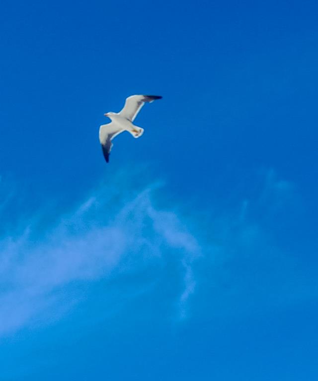
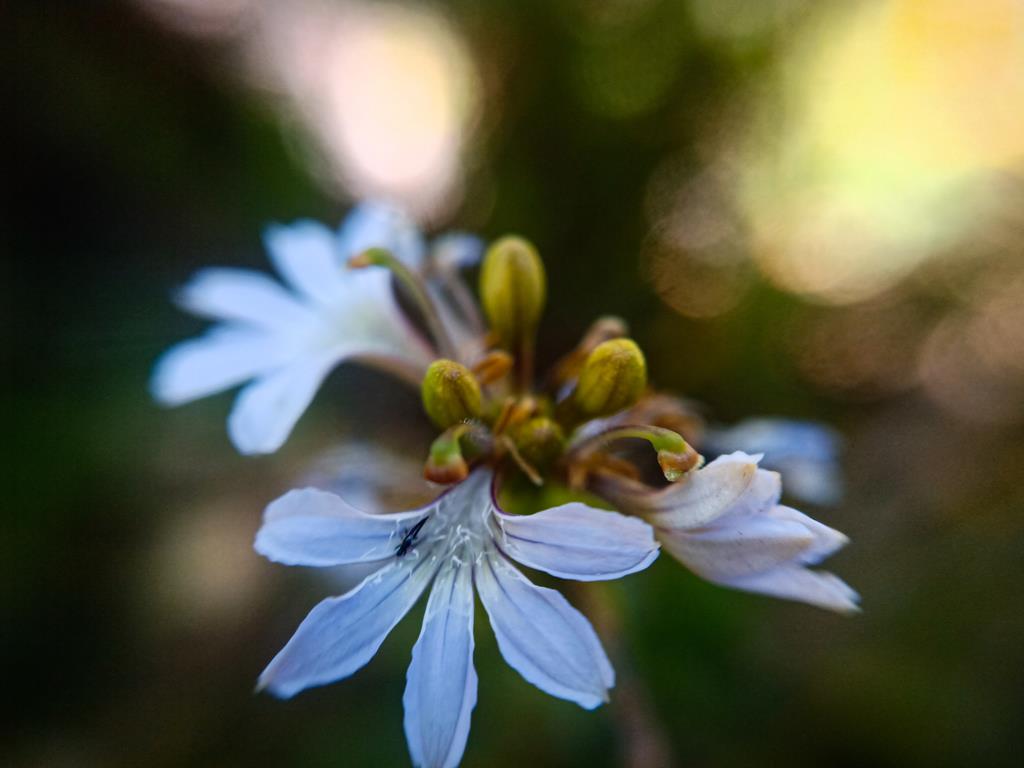
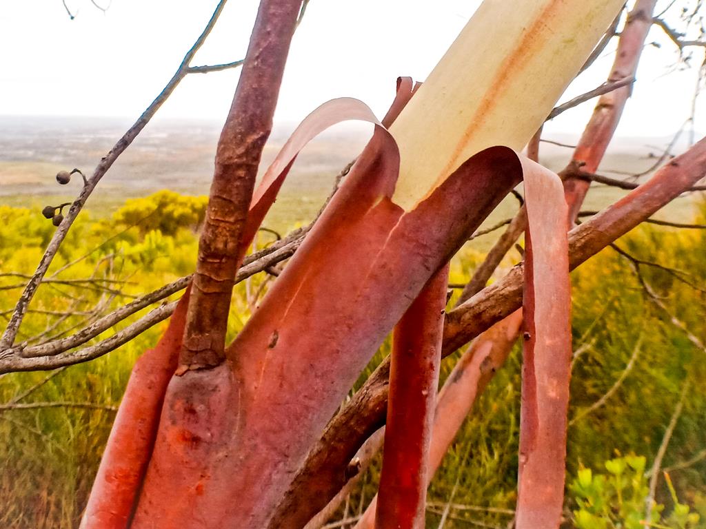
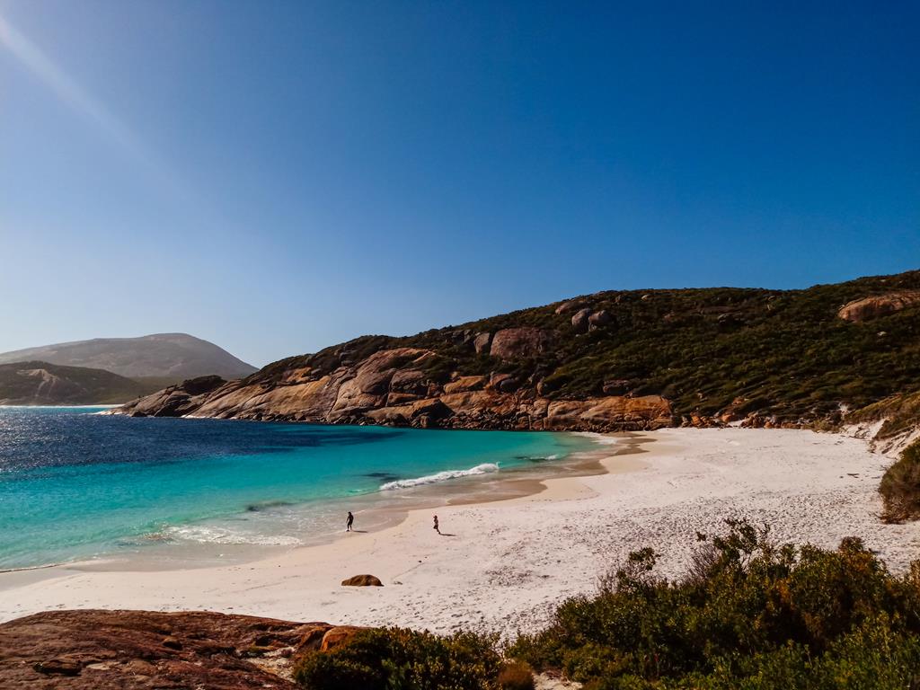
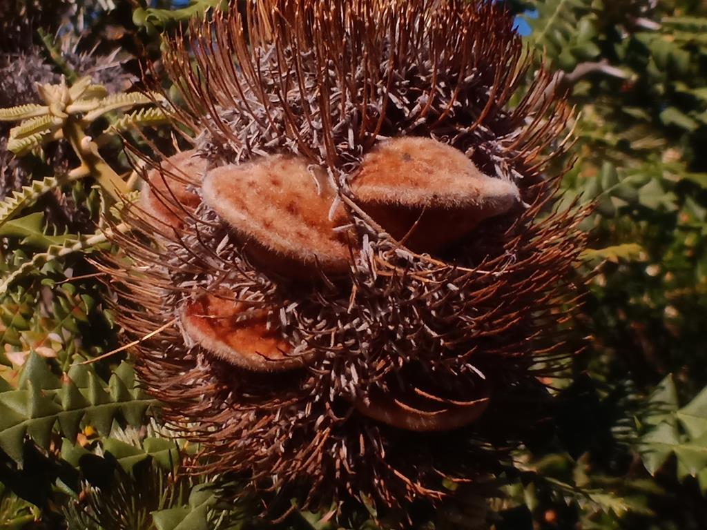
Journey over a few million years…

Fault lines on the mountains in Karijini

Imagine travelling over time, not a few years but over millions of years teleporting in time. Dinosaurs roamed the earth on land and in the oceans. Volcanoes erupted. Tectonics plates (probably, upper zone of mantle) shifted Pangea (supercontinent) as it was called about 180 million years ago, then broke up, separating into segments of continent, to form what we know today as various continents around the world. 
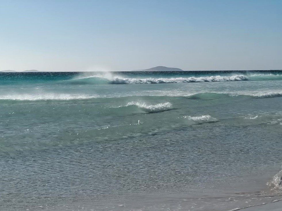
It was different then. There were, perhaps, no humans until first historical find revealed humans’ existence in the last thousand years. The land on the continents was different. Further volcanic eruptions happened. Tectonic plates shifted again.  Colliding of earth’s crust, land was pushed against to form mountains in one place and others sank to form oceans, lakes, rivers and gorges. Meteorites struck the earth. Deadly ashes spewed into the air, eventually covering the sun for years. Plants died and so did the many species of dinosaurs and reptiles. We were teleported into a few million years ahead to present day.

On the edge of Hickman Crater. Aerial drone footage – credit to Andrei Klochkov.

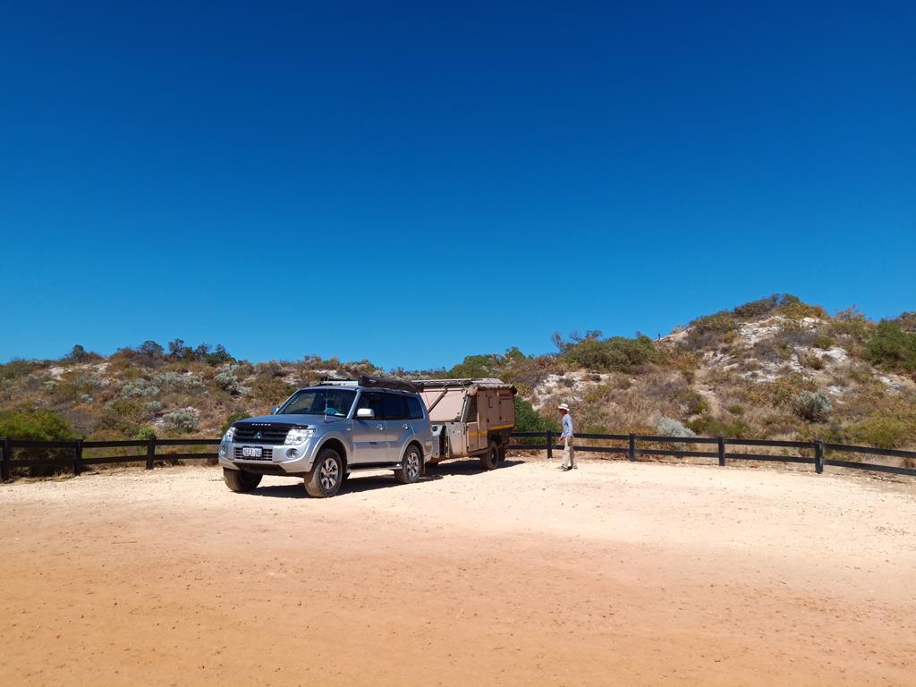
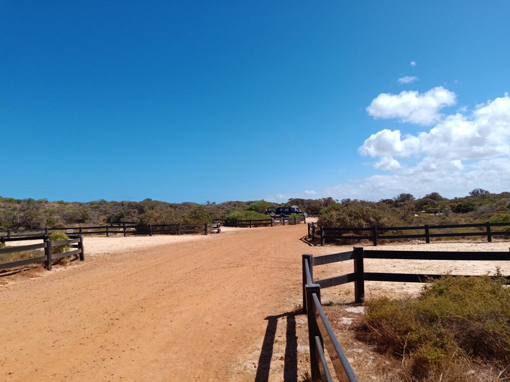
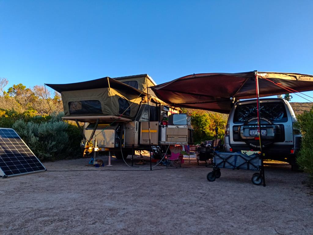
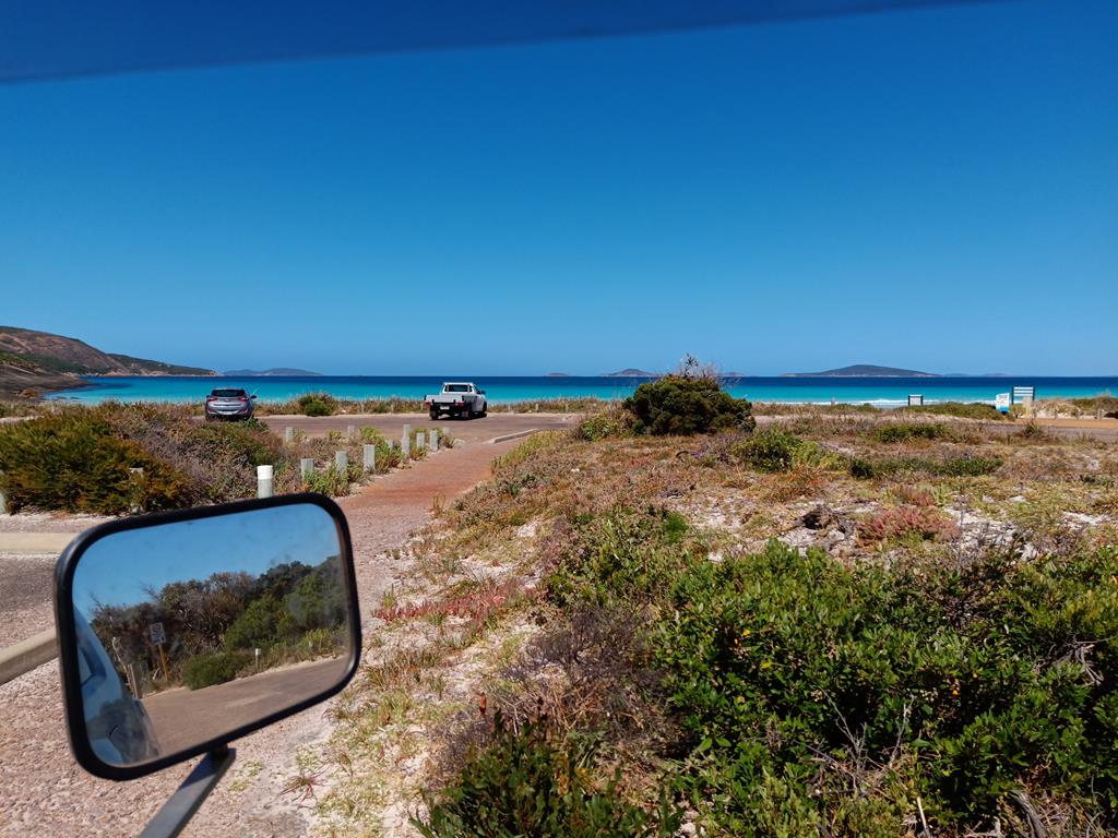
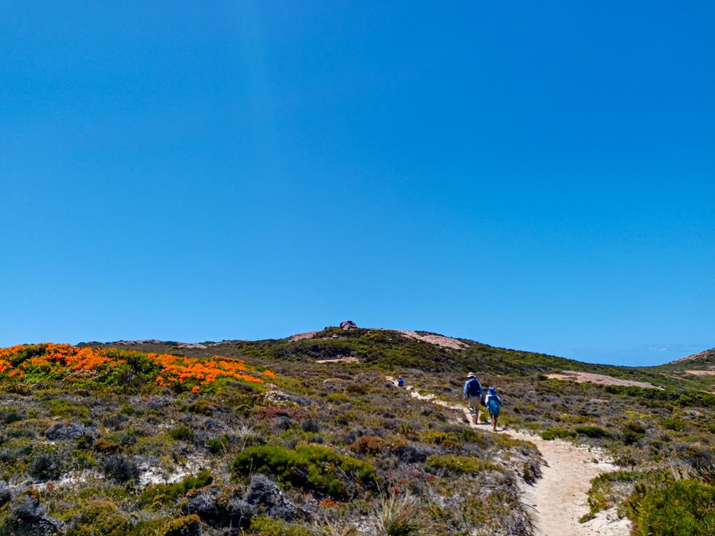
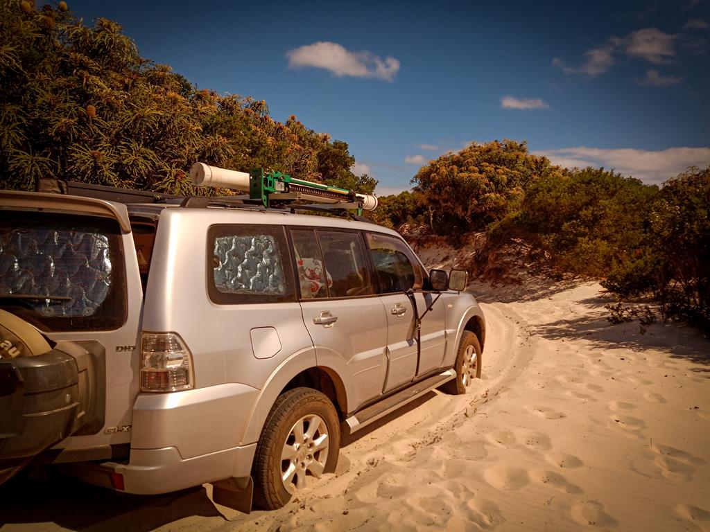
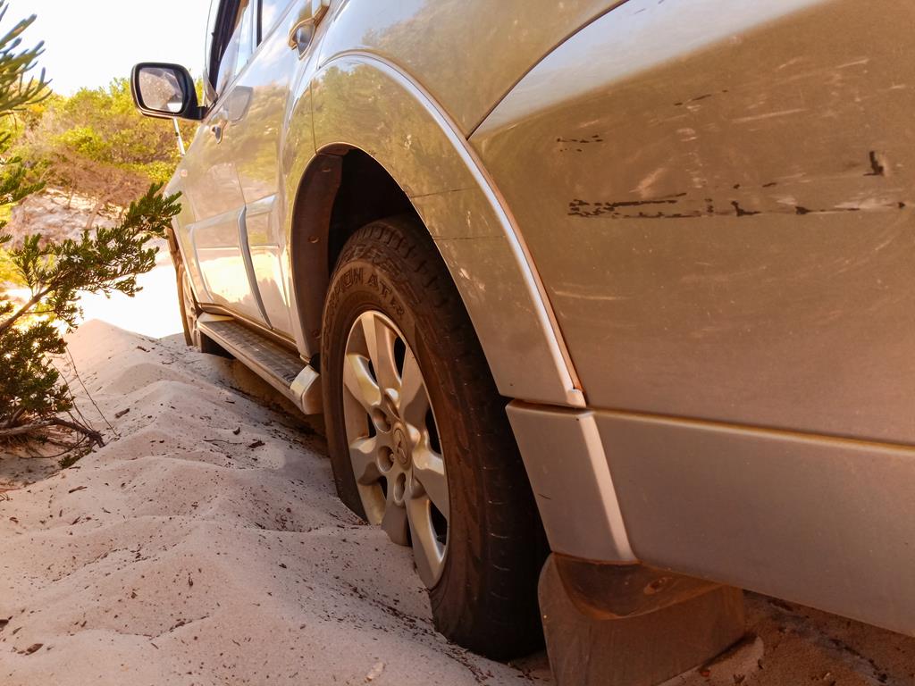
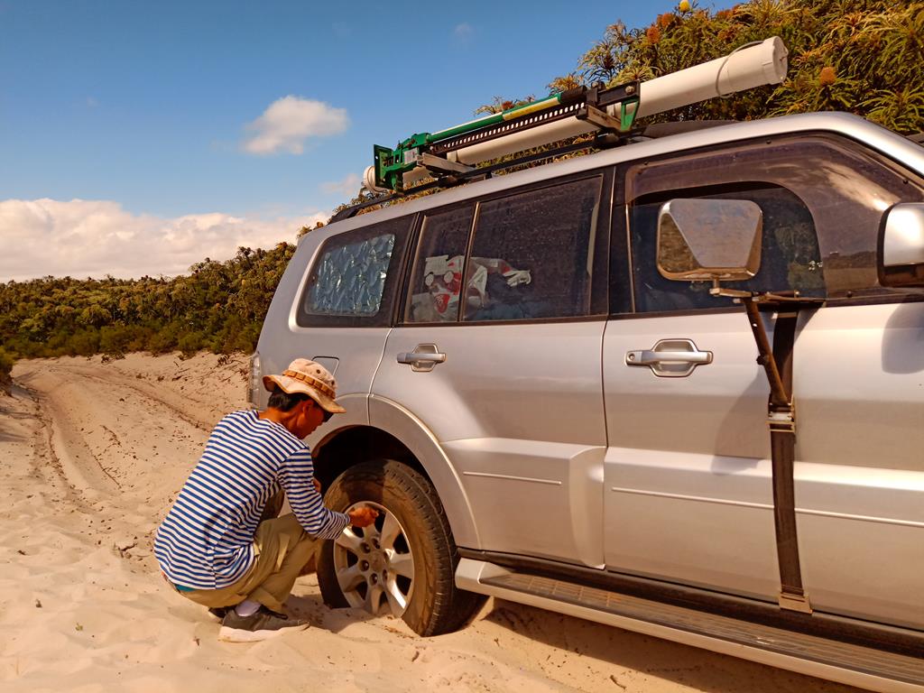
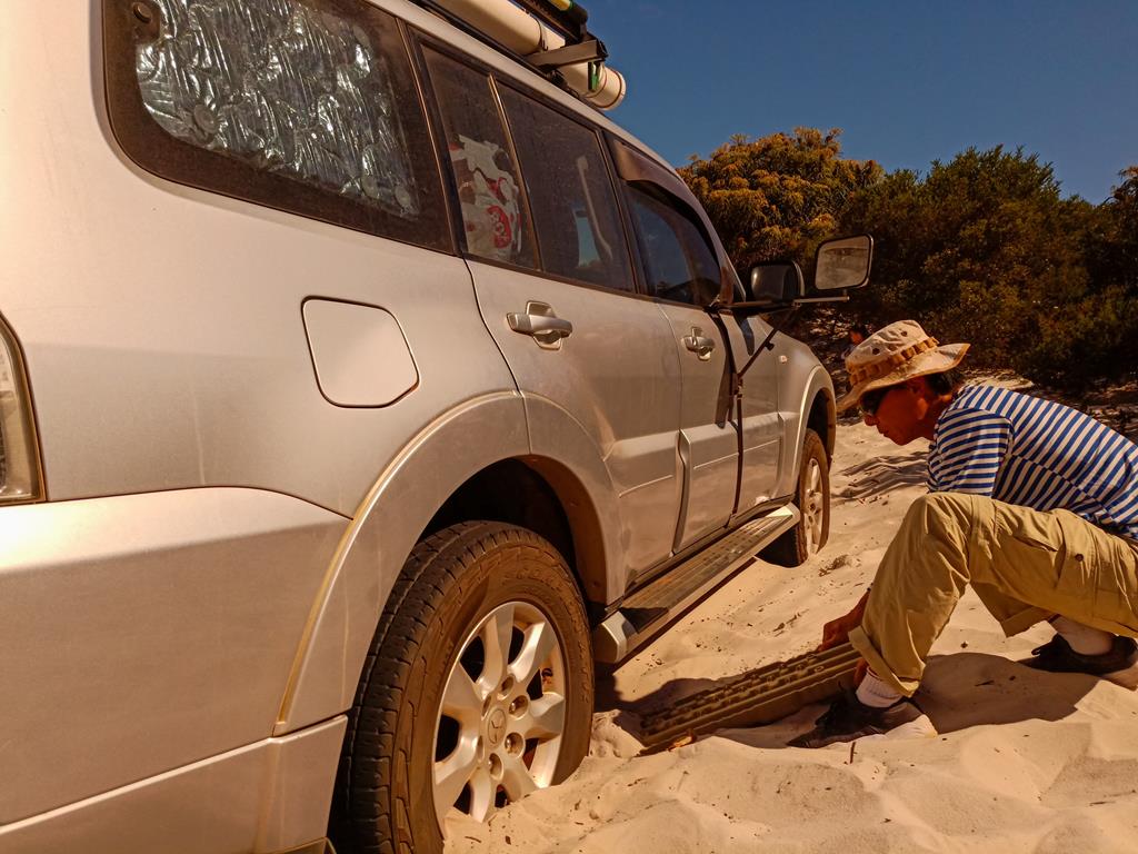
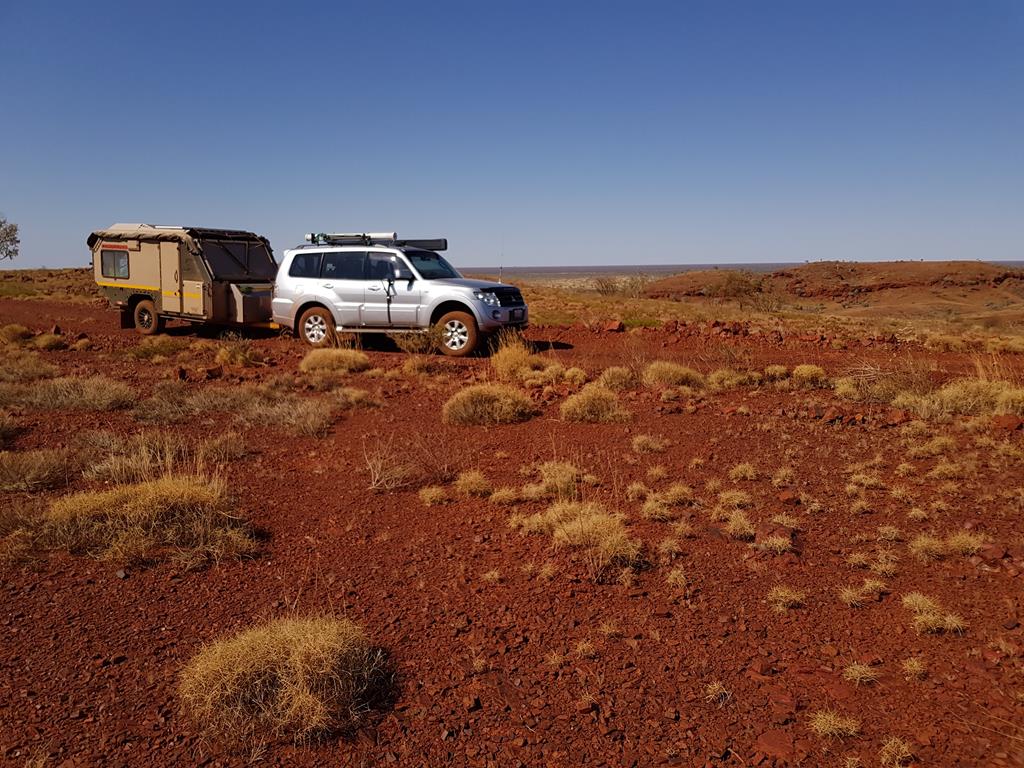
As we approached Newman, my thoughts were interrupted when Andrei Klochkov suggested I consider taking a flight from the domestic airport to alleviate my concerns of breakdown. The offer didn’t last as we took a right turn into off beaten road. As we travelled late into the night, it was like a desperation to find a stopover somewhere. Locating this place was a bit of a chore. But somewhat managed it. We found the trail that went below the rail lines under a bridge. The unsealed road was followed further by a dirt road, corrugation being not that bad initially. Pulling a 5.5 m caravan was one of my biggest concerns.

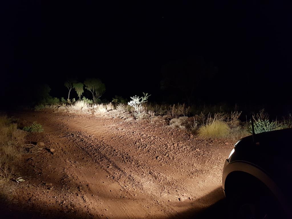
We travelled for nearly 2 hours on a 17km long corrugated road, trying to find our way in the dark night. The vehicle and the caravan rattled left, right, back and forth. I had concerns of failing chassis both in 4WD and caravan or punctured tyres. I prayed for us to arrive to our destination safely and often checked the conditions of the wheels, the chassis, tow bar, etc to ensure all are intake during comfort breaks.
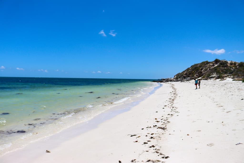
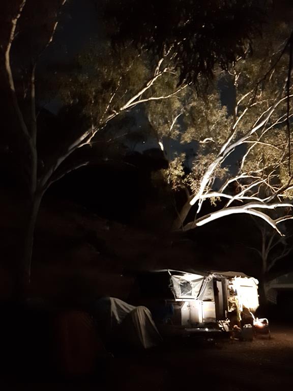
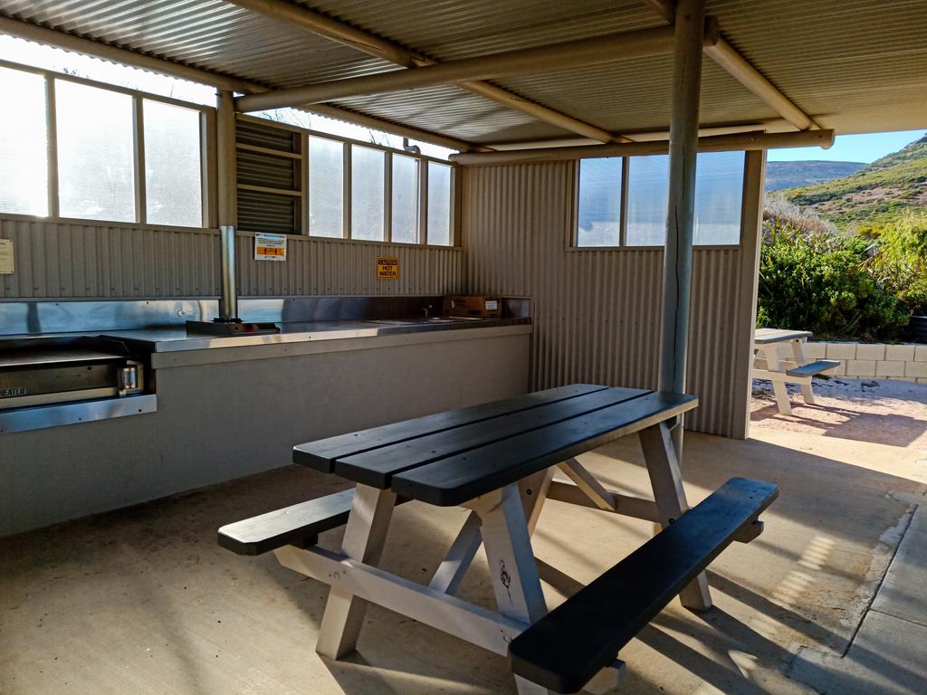
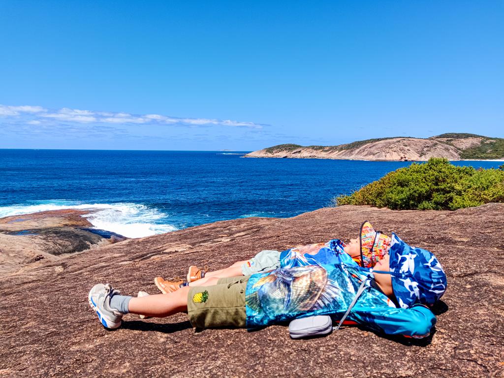
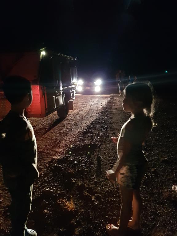
The sound of running water on the side of a stream, and the sight of two vehicle reflectors were a relief to me. I knew we have arrived the destination. We setup camps in Cobbah Downs River Crossing after identifying suitable ground. As we arrived late into the night, we had express meals and quickly retired to bed.

Camping at Cobbah Downs River Crossing

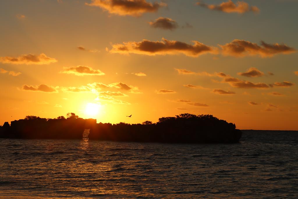
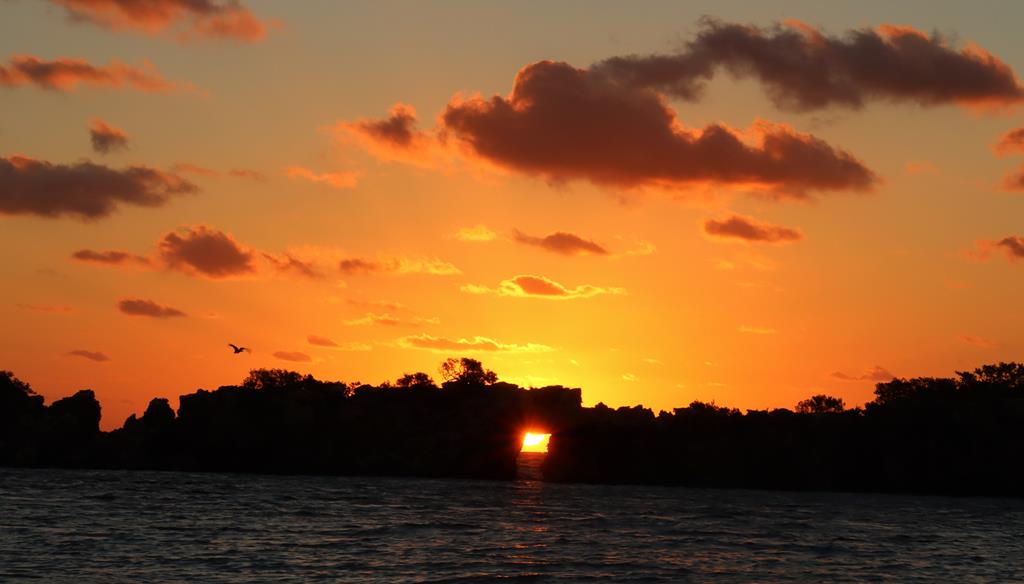
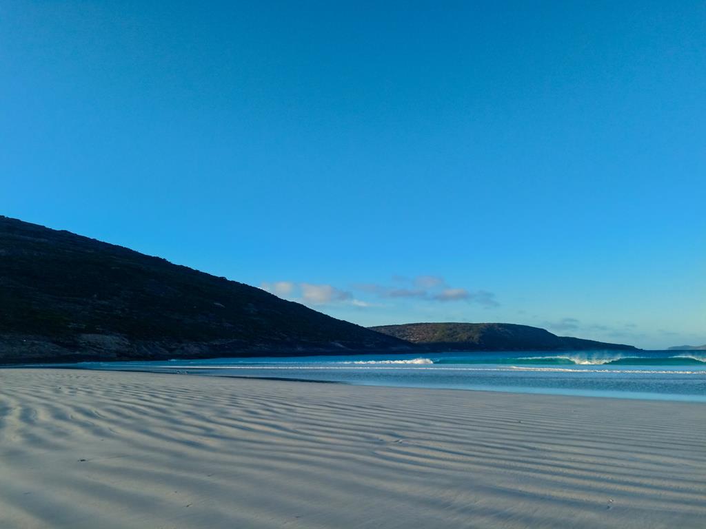
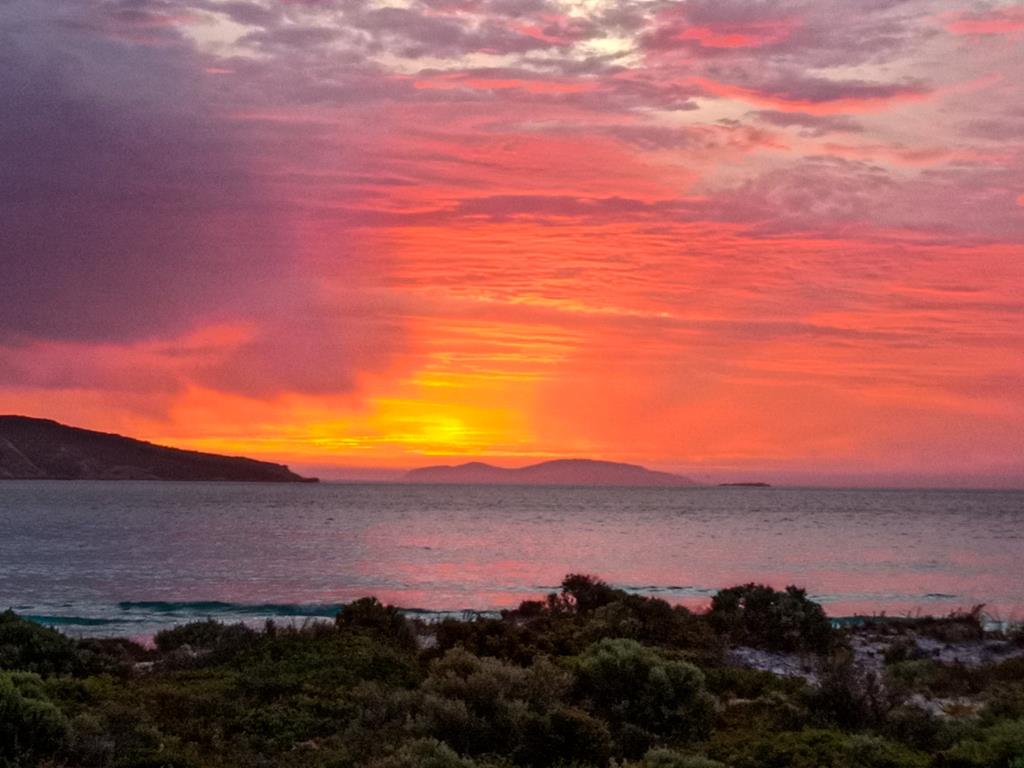
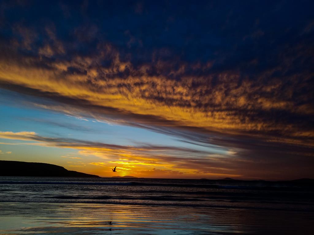
The sun rose and broke the horizon, casting a strong orange colour on the surface of the high rock behind us. I could see, for the first time, the splendour and beauty of this place in its morning glory. Andrei promised that the place will have a pool, nice meals and cocktail bar. It wasn’t a disappointment.

Cobbah Downs River Crossing in the morning

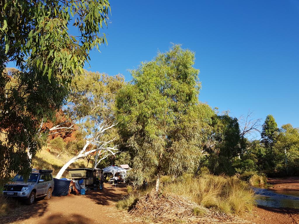
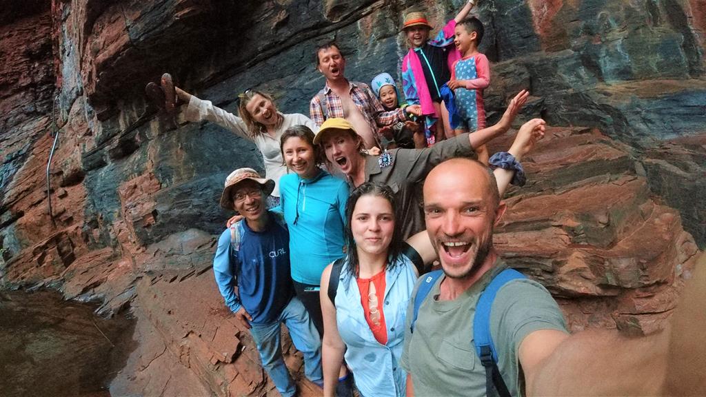
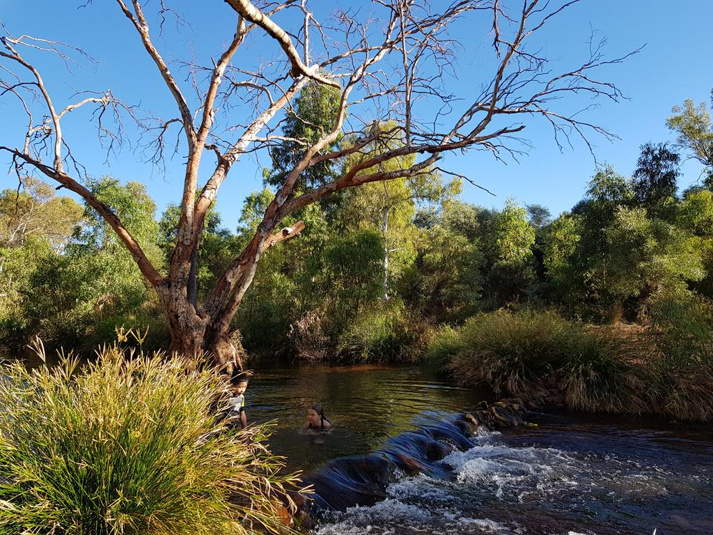
We spent the second night so we could pamper ourselves. The running water from the stream was a blessing. Our two neighbours, after we got acquainted, were wonderful. Brad and Rachel on our left and Elai and Alexis across the stream. The latter group (French and Canadian) were stranded like ‘everyone else from isolation of movement’.
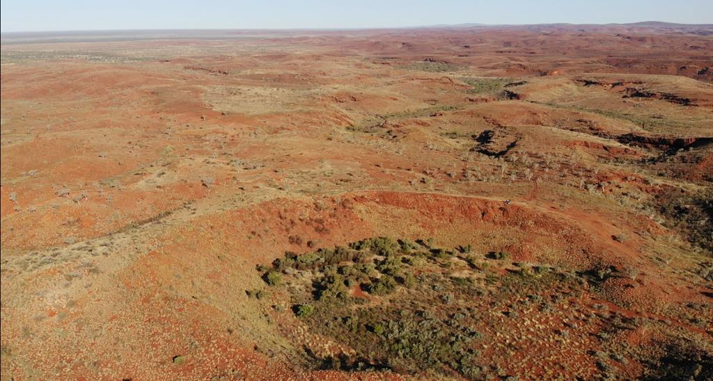
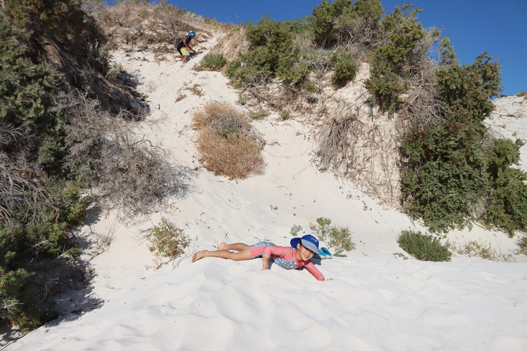
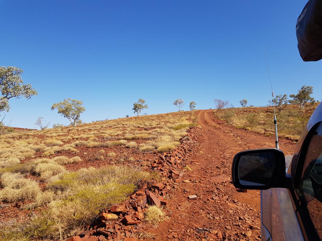
We continued the journey and bid farewell to our new found friends. I started to pray when we hit the corrugated trail again. Our next stop was Hickman Meteorite Crater. The journey into the wild took us into no man’s land.

Spinifex land

Upon reaching where we believed we could set camp, we ventured further up in the 4WD on a really bad corrugation trail. Gosh!  We rocked in every direction possible. I swore that if things could go wrong, there would be disaster.

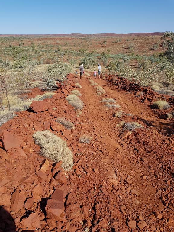
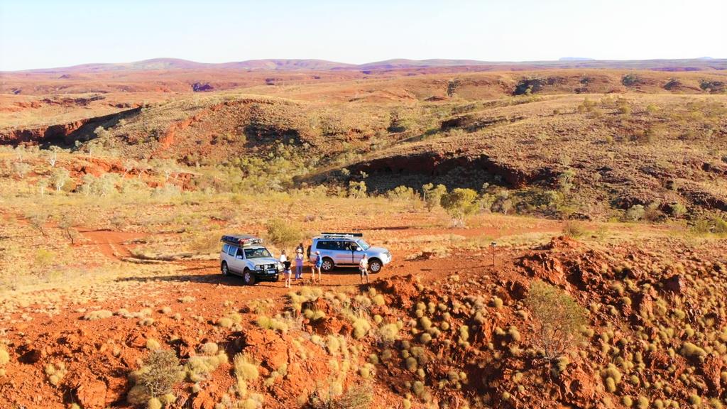
The sight of the crater was a sight to behold.  It was even more awesome from an aerial drone footage.

Aerial drone footage of the Hickman Crater. Credit to Andrei Klochkov

We returned to camp and prepared meals later in the evening.
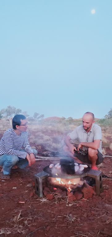
Serious conversation over camp fire

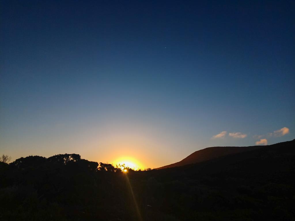
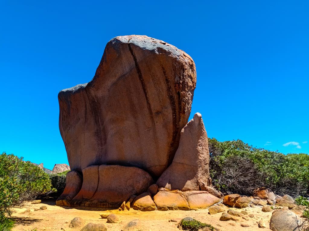
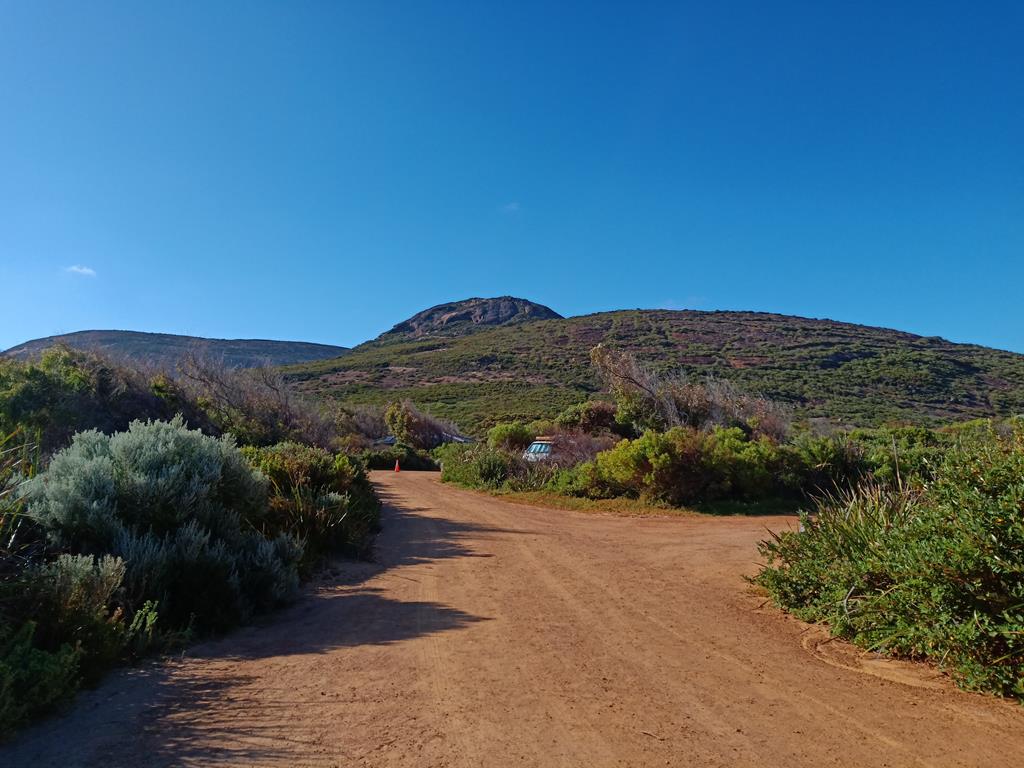
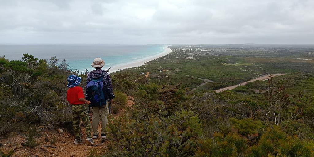
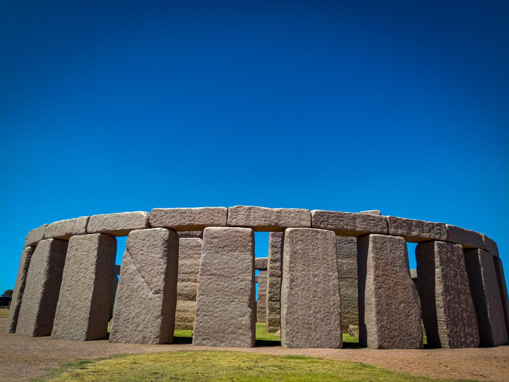
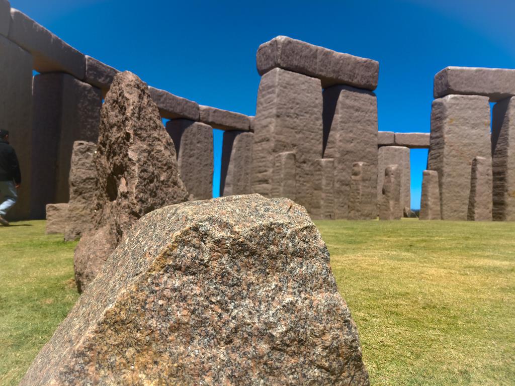
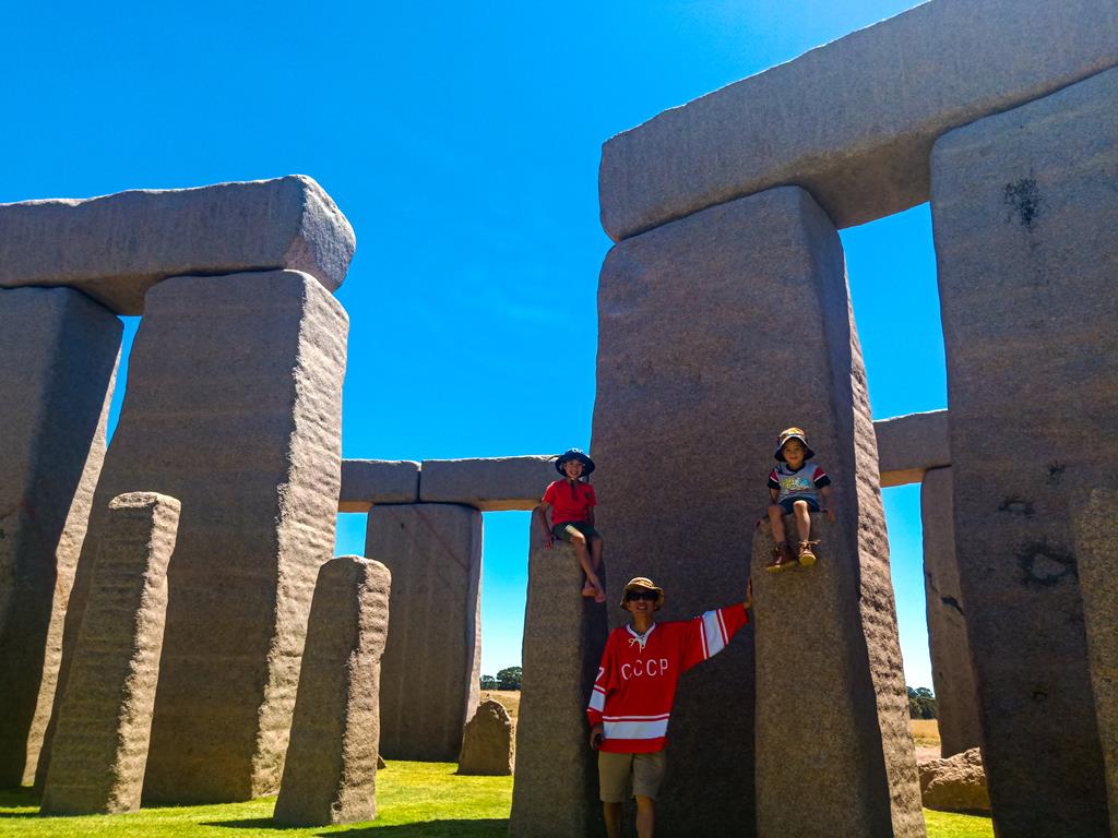
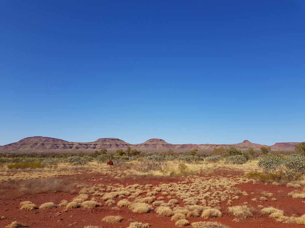
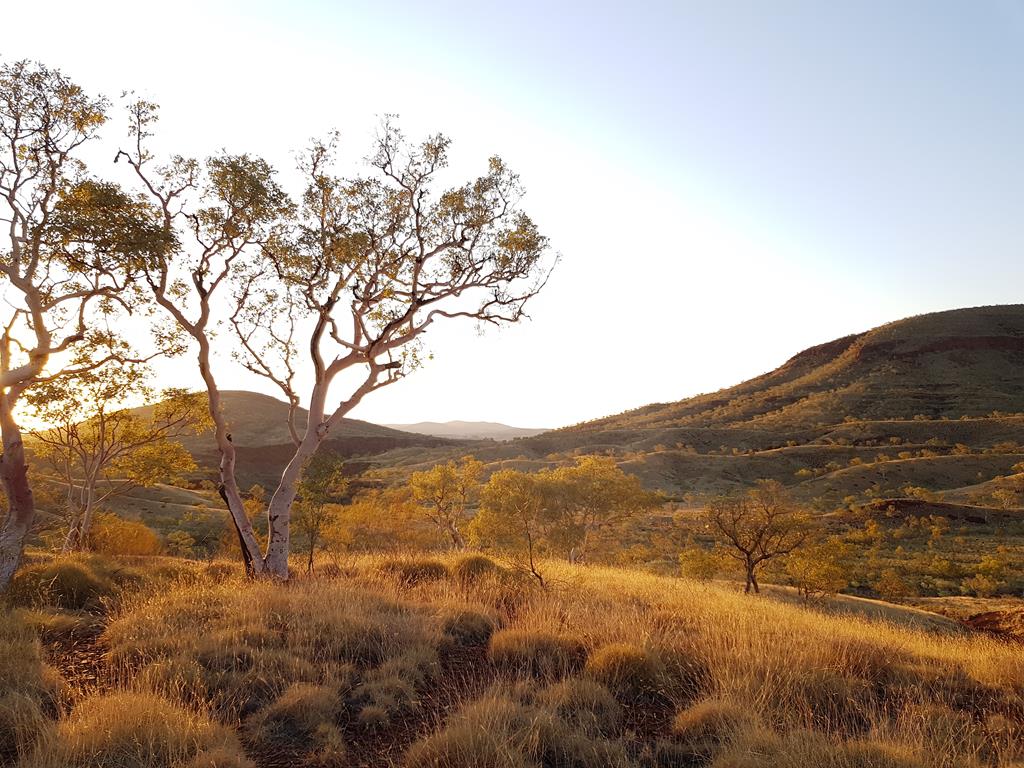
We continued our journey the next day after saying hello to early risers Elai and Alexis who drove by past us. We arrived Albert Tognolini in the mid-afternoon. This site is overlooking the scenic range. It seems that this end of the range shows where land masses were shifted forming mountains with jagged fault lines cut across mountain ranges on its sides, exposing the layered rock surfaces.

Albert Tognolini

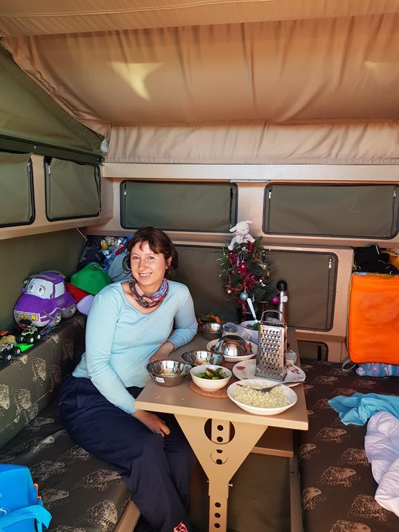
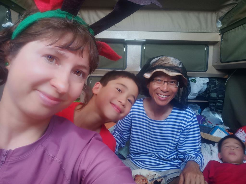
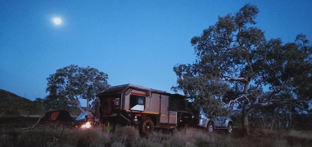
As night fell, we had open fire cooked meals in hotpot and other assorted dishes and snacks. Tonic bar was open with multi-talented barman Andrei serving up cocktails. Having a shower behind the camper with a night view of the mountain ranges silhouette from the brightly night moon was extraordinary. Marina Klochkov shouted, ‘there is no running water’ after turning the tap. I whispered to my elder son and he said out aloud ‘put in 50 Rubles and the tap will have running water!” There were bursts of laughter in the group sitting around the table concentrating in the game of ‘Mafia and Citizens’.
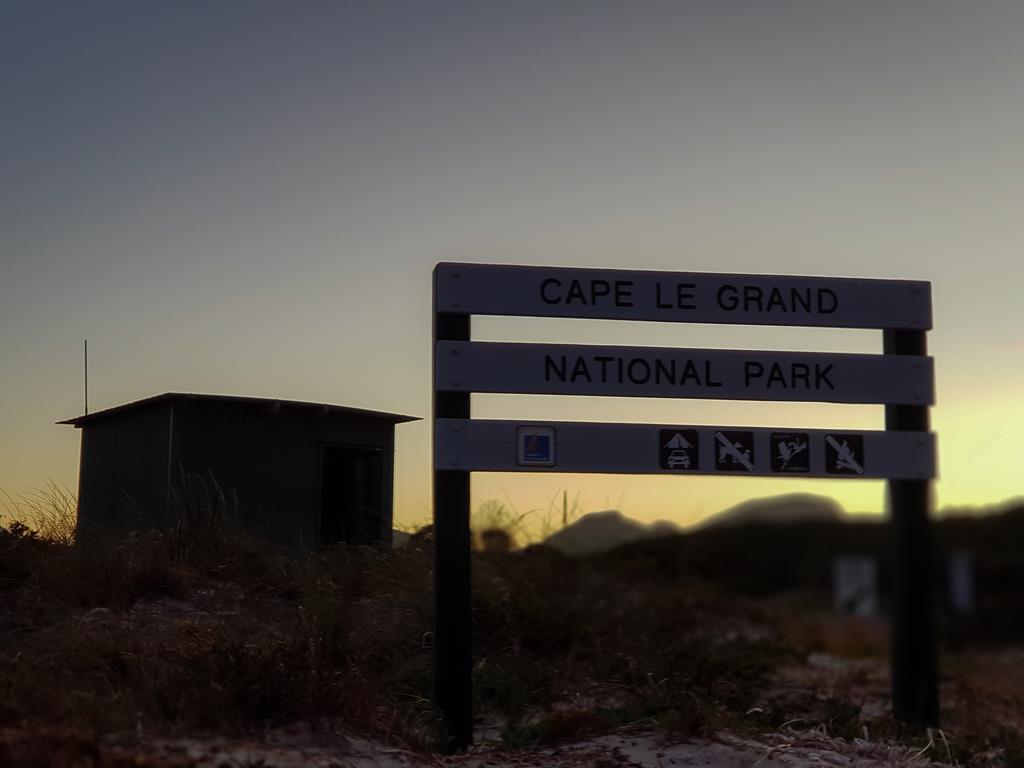
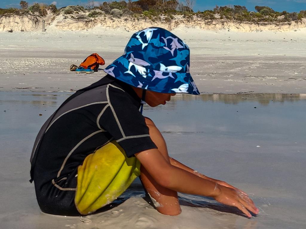
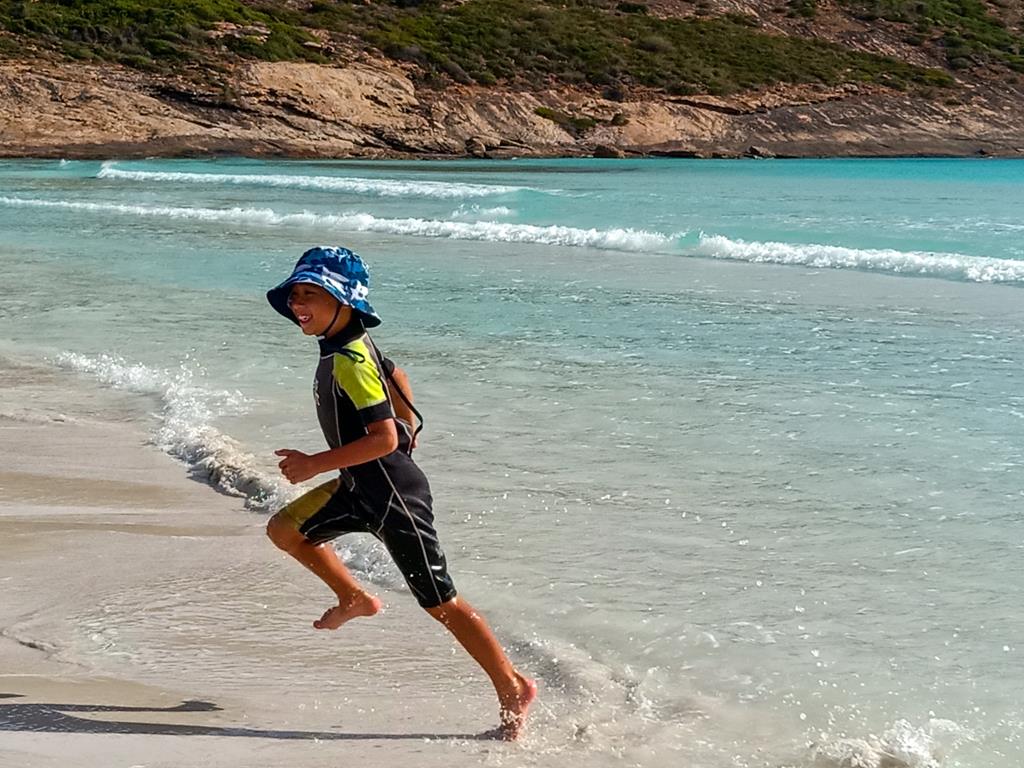
Camping at Albert Tognolini

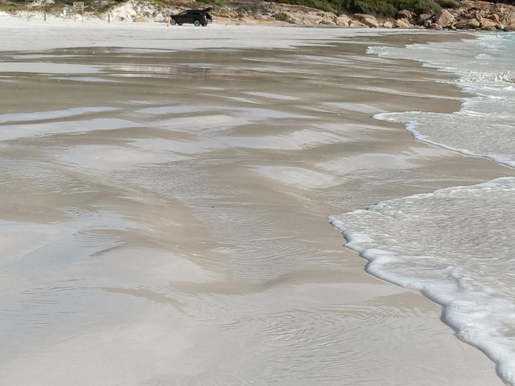
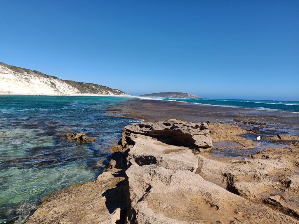
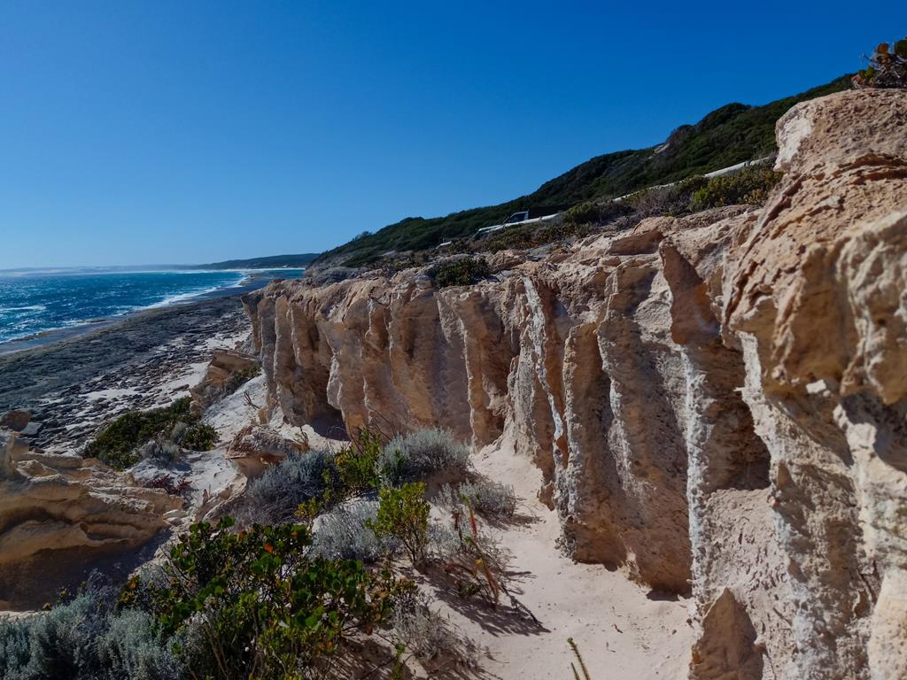
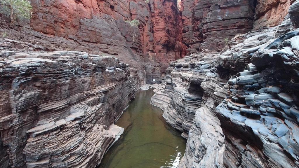
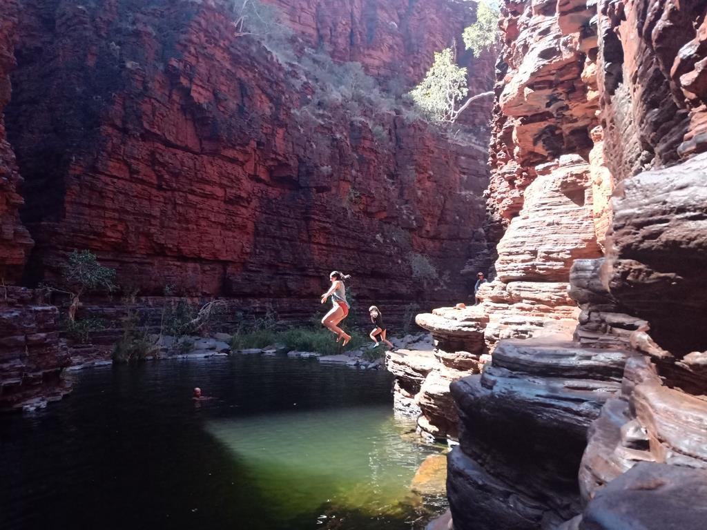
We travelled into the Karijini national park the following morning. We visited the gorges (at Fortescue Falls), then to Weano Gorge. We hiked into the gorge in a cautious manner after learning of an accident in the other gorge. As we hiked down precariously step after step, l wondered how it must have been a shocking experience when the earth surfaces opened under the ground when tectonics plates shifted.

Weano Gorge

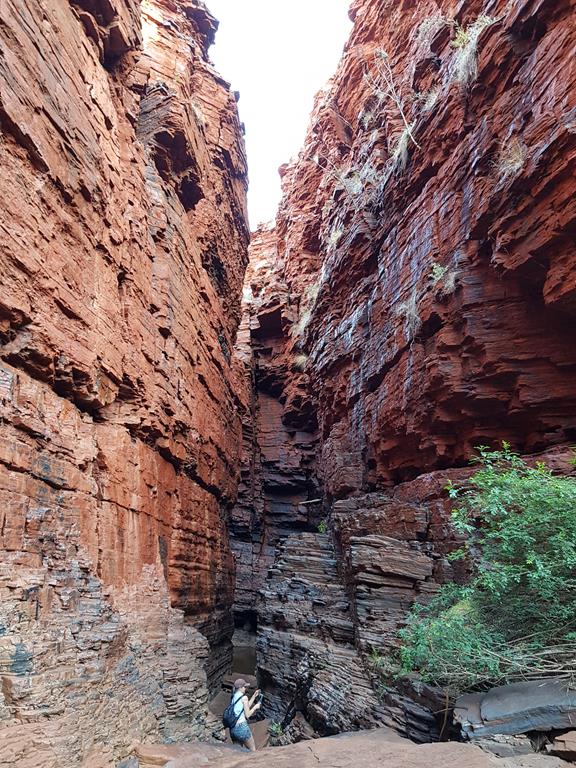
The sight of the rock walls with its jagged corners protruding out in even angles started to smoothen as we got deeper into the gorge. The erosion of some forms, perhaps from flooding water over many million of years had polished the surfaces.

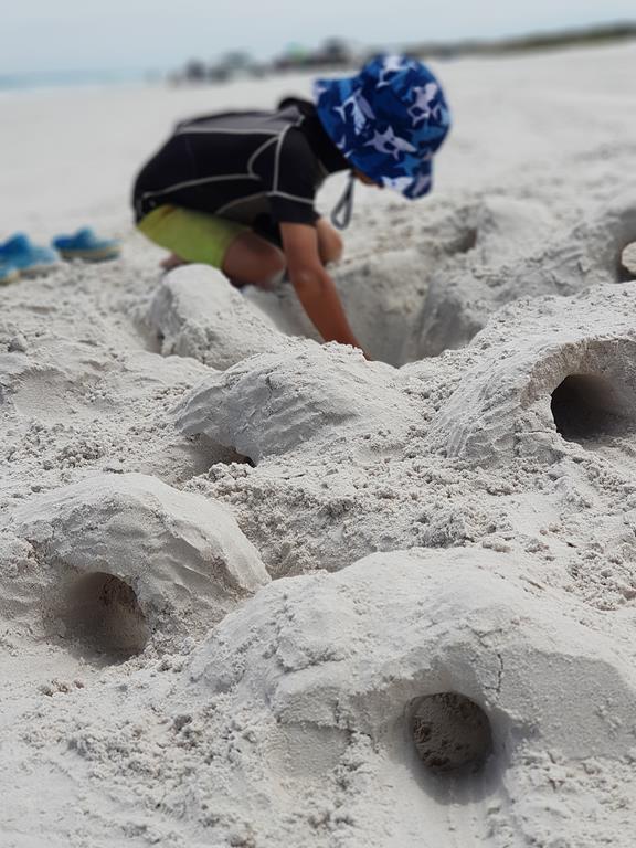
I stopped frequently looking up to study the rock surface formations. I pointed to my children and emphasised what they had learn from books and no could actually see the real things. All of us had a great time.

Weano Gorge

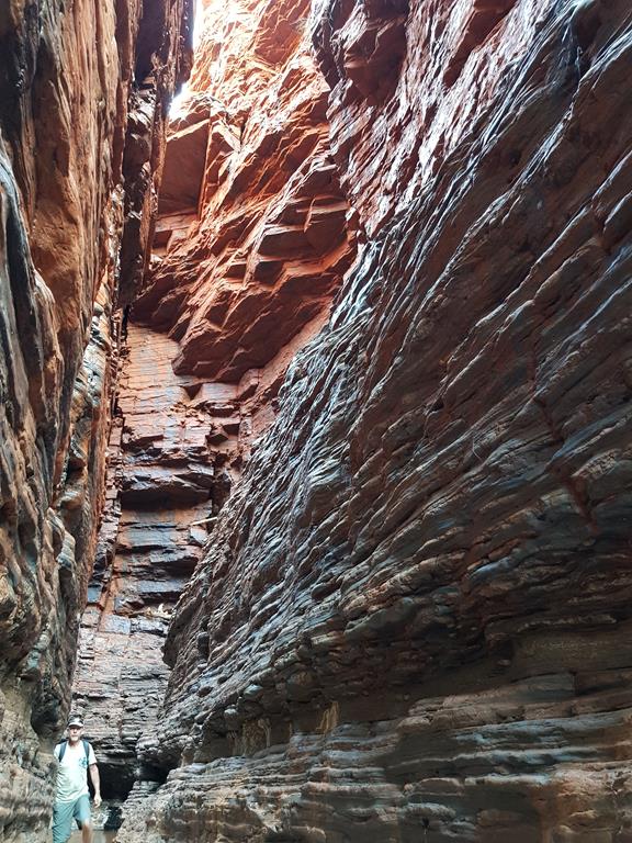
The next day we visited Knox Gorge after packing up and towing the caravan. Another amazing place to excite all of us. The routine of going into the gorge became normal for us, although we still had to be careful as such places are well known for accidents including death every year.

Knox Gorge slot canyon

Words do not do justice to this place/area. Visit and see for yourselves and indulge and experience millions of years of nature’s history under your feet and the surroundings in this present time as ‘l have lived through times over many millions of years’.

Knox Gorge

Facts sheet:

Distance covered: 3141km

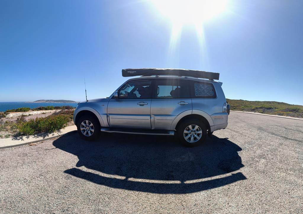
Vehicle: Pajero GLRX diesel

Caravan: A tin box

Free camping: 8 nights

In tow: Russians Mafia and Citizens (social deduction game) that killed each other and all survived the trip 🙂

Narrated by Brian.

Russian mafia. Credit to Andrei Klochkov

Milligan Island Camping Node

After our friends left us, we felt a bit lonely and decided to look for another place to stay for our last day of this trip. Milligan Island Camping Node was our choice. This eco-camping is just north of Green Head, half an hour drive from Knobby Head where we spent 2 nights.

Road to Milligan Island Camping Node (last 1.5km)

For $15 per vehicle per night you can get a large camping bay protected from the wind by the dunes (most bays are big enough for two cars and two tents/caravans), large, clean long drop toilets (no smell!) and undercover picnic tables with bbq.

We entertained ourselves by walking on the beach and looking for crabs that were very quick running into their holes in the sand.

Have you seen these creatures? They look like jelly fish but they are actually colonial organisms consisting of four different types of polyps with different shapes and functions. Known as Bluebottles, they are sometimes confused with Portuguese Man-O-War which are larger and have more tentacles. Bluebottles have elongated blue float bubble, not more than 10cm wide, and a long dark blue tentacle up to 3 meters long which has stinging cells. We found lots of these stinging bluebottles on the beaches of the Turquoise coast.

Bluebottle

Later when we visited the beach entering from the other side of the camp (it is quite a large one), children found great pleasure playing in the sand dunes, running down the slopes and falling into the soft white sand!

Water is very precious. After 2 days of free camping at Knobby Head we used 120 litters of water that our caravan tank held. Now with only two jerry cans of water (20+ 5 litters) we had to ration our water to be able to last another day and night (which meant no shower for that night).

However, these bees found their bath in our basin where we washed vegetables and fruits! We were told that bees lost their homes due to recent bush fires and were now looking for a source of water which they found at the campground near taps or just in buckets or cups. Luckily, the bees were not aggressive. All this reminds me how precious life and resources, like food and water, is.

When a friendly campground host came later in the afternoon to collect our fees, she told us about the rocks with the hole, just off the shore, through which at the right time we could see the sun during sunset.

Day 9: Sunrise at Cape Le Grand

The last day at the campsite is the time to pack. Cape Le Grand campground was a lovely home for us for 9 days but now it is time to leave.

Our home at Cape Le Grand

It is also the time for reflections. Brian got up at 5am and disappeared from the caravan. He came back with photos and a story to tell.

“Another day. A new dawn. A new year (2021) is fast approaching. The current (2020) year has been plagued with calamities affecting so many around the world. Not to mention the lifestyles change that will see us doing things differently. Hopefully, we come as one to make a better world.

As I walk down the beach in the early morning, I breathe the fresh air, reflect on my life and hear the rolling waves. The cold air breezes through my ears and I feel the cold, so l know l am still ticking. We will depart today to another destination after breakfast. Have a wonderful good morning to all and especially a new year to you all.

Morning at Cape Le Grand

Ariel managed to find another beautiful colourful beetle for me to photograph when we went to wash hands.

Good bye beloved Cape Le Grand! We’ll be back again!

Day 8: Beautiful sunsets of Cape Le Grand

Sunset at Cape Le Grand

It is our last full day at Cape Le Grand and we decided to take it easy, not go anywhere and have proper meals at the camp. Campground facilities at Cape Le Grand beach have been upgraded recently, so we enjoyed nice and clean sheltered undercover kitchen where we washed our dishes daily with very hot water (bring your rubber gloves, as water in the kitchen is really hot!).

Cape Le Grand campground facilities

We spent the day walking on the beach where the white sand squeaks under your feet, observing waves rolling and dispersing into the air when the wind was strong, and spotting seagulls and other birds fly across the sky.

Photographing flowers and insects was another past time.

The kids ran on the beach and played in the sand.

The evening meal was served inside our caravan where we could hide from the strong wind and feel cosier.

Inside our caravan

Being on the western side of Western Australia means you can see amazingly beautiful sunsets.

Not only there are different every day, but every minute.

Day 7: Thistle Cove

Another beautiful day with sun shining and temperature in low 20s – perfect for a hike. This time we drove to Thistle Cove and decided to hike from there to Lucky Bay. This proved to be one of the best places in Cape Le Grand National Park – the place so rich in history, natural coastal beauty, diversity of plants. It was a paradise.

Thistle Cove is a small bay with very beautiful coastal rocks. It was named Thistle Cove by Captain Matthew Flinders who, while surveying this area in 1802, found much needed fresh water. He decided to name the place Thistle Cove after the ship’s master John Thistle. These freshwater sources were also important to traditional Aboriginal people who camped here during seasonal journeys to and from the coast.

Thistle Cove, as well as Frenchman Peak, are connected in Aboriginal Dreaming Story. According to Walich Dreaming Story, as told by Nyungar Aboriginal People, when the wind blows amongst the rocks you may hear ancestors crying for their two children who were carried out to sea by mother walich the eagle. She was angry that the children had stolen her eggs, disobeying their parents and elders. Every time the children tried to swim back to the shore, they were picked up by mother walich and carried back to the sea. This story teaches children a very good lesson.

Another attraction in Thistle Cove is Whistling Rock, which is an interestingly nature sculptured granite boulder that captures the sound of the wind and it actually whistles!

Whistling Rock at Thistle Cove

The walk from Thistle Cove to Lucky Bay is an easy (Class 3) 1 hour walk (one way), which offered stunning views of the bay and at some higher points you can see both Thistle Cove and Lucky Bay, as well as further bays at the same time.

Day 6: Cape Arid and mistakes we’ve made/lessons we learnt

With 9 nights at our leisure at Cape Le Grand, we decided to spend a day driving to Cape Arid National park, which is 120km east of Esperance. It is quite large national park, covering an area of nearly 3000 square kilometres. While it is accessible by road, most of the park itself is 4WD only.

Banksias at Cape Arid National Park

Cape Arid is a very pristine, hardly touched and spoilt by humans’ place. It is also beautiful with clear blue waters, white sandy beaches, rocky headlands and diverse vegetation. Being quite such a remote and large area, we only managed to see a small part of it. Having paid our entry fees to the national park, we drove to Dolphin Cove along Thomas River Road where we checked the campsites. There are 2 shire campsites, close to each other, with between 14 to 20 camping spots in each, sheltered bbq and picnic areas, as well as toilets (according the brochures there is no water at the park). It is on first come, first serve basis and camping fees apply. Both areas were full (around Christmas time) when we drove by. Quite nice camping places but perhaps not quite for us, as we would probably miss on the spot, should we decide to come to camp there.

Sheltered and secluded campsites at Thomas River in Cape Arid

Dolphin Cove beach being just around the corner we decided to drive there. Two roads were leading there – Tagon Beach 4WD track and an unsealed 2WD path. We thought having a 4WD was enough to undertake the first track. However, we underestimated our experience. We obviously still had a lot to learn and this was our great learning experience.

Driving to Dolphin Cove beach on a 4WD track

The track was quite firm and slightly gravelled at the beginning. As it continued, it started to get softer. Four 4X4 utes driven by young, seemingly carefree but experienced drivers passed by. We let them go forward and thought of following them, however, they were quickly out of sight.

About 100 meters or so away from the beach, it happened. We got bogged! The sand was too soft and imprudently we did not reduce the tyre pressure. ☹. Mistake number one. (Lesson learnt: reduce tyre pressure before driving on soft sand and engage proper 4WD gear for soft sand driving.)

We were prepared to such surprises to some extent. First, we reduced the tyres down to 15psi, then dug some sand from underneath the car and placed the recovery boards.

Brian started the engine and pressed on accelerator. Trying to push the car from behind I watched the wheels spinning. This went for a short while. The car moved forward a little and encouraged I asked the kids to help push the car again. More wheel spinning. The car stopped moving. When Brian came out, he asked me where the recovery boards were. Naively, I thought they were just invisible but still underneath the car. We tried to look for them but it was impossible to find anything. Our Pajero was sitting with its bottom on the sand and nearly half of the wheels were buried into sand. There was no sign of our recovery boards. Mistake number two. ☹ (Lesson learnt: Tie the ropes to recovery boards to prevent losing them.)

We tried the same a couple of times more. More pressing on accelerator and more wheel spinning. No sign of recovery boards. Mistake number three. ☹ (Lesson learnt: When you persevere in your attempts to move forward on the sand and the wheels are not engaged, the vehicle gets buried into the sand even more.)

Nearly 2 hours have passed. With no progress in sight and no more vehicles passing by, Brian went to the beach to ask for help. We were lucky that was a group of people in two 4WD on the beach (but no sign of the previous 4 utes) whom Brian approached. ”Luck” as he is known and his friend was indeed our luck! Eventually, we did get out after a few forwards and backwards to compact the sand, and following Luck’s advice to reduce the tyre pressure further down to 10psi. Brian was so horrified by the whole experience that he refused to drive to the beach alone and only wanted to go back to Cape Le Grand. So I have no picture of the beach to place here. ☹.

The trip back to our campground was uneventful and rather long. Back at the campground while looking through the photos I found a picture of the roads conditions sign I took at the park. If only I actually checked this properly! Mistake number four ☹. (Lesson learnt: do your research before going to unknown places.)

To comfort ourselves we had sausages for dinner once we got back 😊.

Back at Cape Le Grand campground

Day 4: Christmas at Cape Le Grand

Christmas Day is the time to spend with the family. Well, on that day, waves, sun, sand and seagulls became our family 😊.

Cape Le Grand beach

We started the day by exchanging Christmas presents and then spent the whole day at the beach.

Merry Xmas from Travel Nut family! 🙂

While we were having our morning tea we had a visitor at our place. This Monitor Lizard was very friendly and quite relaxed about people. It let me take a number of shots.

Monitor Lizard at Cape Le Grand camp ground – a local resident 🙂

Christmas Day was the only hot day during our 9 day stay at Cape Le Grand. The temperature hit 40 degrees and while the water was a bit cold, it was so refreshing to swim in the beautiful water on such a hot day.

The kids entertained themselves with digging the sand, building castles and tunnels, and jumping over little waves while I was practising my photography skills.

A lot of 4WDs were passing by and a few boats were launched off the coast.

A hot day meant lots of flies. We decided to have lunch inside our caravan where the temperature was 48 degrees! Still, it was better than fighting flies.

With the air cooling at night, it was very comfortable to sleep.

Day 5: Mt Le Grand

After 40 degrees during Christmas Day the temperature dropped by nearly 20 degrees. With much cooler and cloudier weather, it a was perfect time to do more hiking. This time we didn’t even need to drive anywhere, as Mt Le Grand was at our door step.

Walking towards Mt Le Grand from our campground

Mt Le Grand is only 262m high, but the coastal trail, which starts at Cape Le Grand beach continues for approximately 17 km through Hellfire Bay, Thistle Cove, Lucky Bay to Rossiter Bay.  

This south-west corner of Cape Le Grand National park is the most spectacular. Rugged granite peaks, born from molten rock 2500 million years ago, rise from the coastal plain. They form an amazing contrast to expansive coastal sand dunes. Wild coastal scenery, and sweeping heathlands with small freshwater pools characterise this area as a unique, bio diverse and rich in natural beauty place.

At Mt Le Grand stopping to admire and appreciate the beauty

Our older (9-year-old) son Ariel has an amazing ability to notice and find interesting things. This time he found this colourful beetle which I took numerous pictures of.

Hiking further I was amazed at the diversity of vegetation. Getting closer to some of the plants and flowers I discovered their beauty and uniqueness.

Day 3: Lucky Bay and Hellfire Bay

Lucky Bay beach

Anyone who visits Lucky Bay gets lucky 😊. How can you not be lucky when you find yourself in a paradise like this! Lucky Bay is a beautiful wide white sandy beach. This place is renowned for its amazingly rich in turquoise coloured waters, as well as friendly kangaroos which can often been seen lazing on the white sandy beaches and interacting with visitors.

We saw this kangaroo near the picnic table

Lucky Bay beach is quite long (about 5km long) and wide. If you have a 4WD vehicle, you can drive on the beach. Just be mindful of people, especially kids, walking and playing on the beach.

There are two places two camp in Cape Le Grand National Park – Lucky Bay and Cape Le Grand campgrounds – both providing excellent camping facilities. There are flushing toilets, solar powered hot showers (really hot), sheltered kitchen (with bbq and gas stove), picnic tables and only a few minutes of walk to the beach. The good thing is that the sites can be booked (up to 180 days in advance) which guarantees you a spot (provided you are fast enough to act if you are booking for popular seasons like Christmas-New Year break).

The view of the Lucky Bay from the car park

We prefer to camp in Cape Le Grand campground but we always visit Lucky Bay for a day to enrich our camping experience during our stay at the park. Lucky Bay also boasts the only one in the National Park beach café, which serves hot drinks and light meals on the beach.

After a swim in the turquoise waters, run on the white sand, lunch right on the beach and then a drive on the beach to enjoy the experience, we decided to visit a different beach in the park, hoping it would be less windy than Lucky Bay on that particular day.

Driving on Lucky Bay beach

Our choice was excellent. Hellfire Bay was a lot quieter, both in number of people and the wind. Offering equally breathtaking views, this beach also had some rocky foreshore where our older son Ariel found some crabs and we watched them having a feast while hiding under the rocks.

Crabs under the rocks in Hellfire Bay

Hellfire Bay has excellent picnic facilities with large tables in undercover sheltered area and clean bush toilets. After a quick afternoon tea there we decided to go for a walk to Little Hellfire, which was a pure delight.

The view over Hellfire Bay

Initially the path goes up the hill offering stunning views of the bay, then it goes downhill and the vegetation gets richer and denser.

Little Hellfire walk

Eventually we reached large rocks among which this sheltered and calm beach is nestled.

Little Hellfire beach

Kids played for a while on the beach, while I occupied myself trying to take a picture of a red ant. It turned out to be a difficult task! The ant was running faster than my camera could keep a focus on it. This is the best shot (edited) I could get of it.

The flora at this part of the park is amazing. I was behind my family taking numerous pictures of the flowers… and more ants 😊.

Day 2: Esperance beaches and Stonehenge

Having run out of gas made a decision for us to travel to Esperance the following day. After filling gas and treating ourselves to local fish and chips, we had plenty of time to do sightseeing that day. First, we visited Stonehenge, which is a full-size replica of the original UK Stonehenge and it appears as the UK version would have looked like around 1850BC.

Stonehenge replica in Esperance

It was built from 137 stones of Esperance pink granite quarried opposite the road where Stonehenge is rested.

Esperance Stonehenge was built to align with both Summer (22nd December) and Winter (21st June) Solstices in Western Australia. If you are lucky to have good weather, the owners actually open the place at 4am in summer to allow visitors experience this phenomenon.  

The beaches around Esperance are spectacular and easily accessible via The Great Ocean Coastal Drive, which is a 40km coastal self-drive route encompassing a number of picturesque lookouts and parking bays.

This photo was taken by our oldest son Ariel who discovered and taught us how to create 3×3 panoramic pictures.

You probably need a couple of days if you want to explore this area and explore all of the beaches and lookouts (plus Pink Lake and wind farm) along the route. Having only a  few hours at our disposable, we decided to visit only the most interesting places. Salmon Beach was the first of the beautiful beaches where we stopped.

Salmon Beach

Twighlight Beach is probably the most popular family beach located 10km from town centre. It is one of the safest and most beautiful beaches around Esperance.

Twighlight Beach

Twighlight Beach is equipped with picnic facilities, public toilets and also Shark Warning System!

Shark Warning System at Twightlight Beach

Ten Mile Lagoon is a fantastic swimming beach 19 km from town, particularly for young swimmers. A rocky shore separates a natural shallow and calm lagoon with much warmer waters from the breaking waves of the ocean.

Ten Mile Lagoon Beach

The lagoon is a perfect place not only for swimming, but also for snorkelling and admiring what the ocean shallow floor offers.

Ten Mile Lagoon

Going up the stairs back to the car I was admiring rugged pristine coastline…

Ten Mile Lagoon rugged coastline