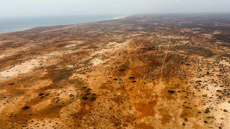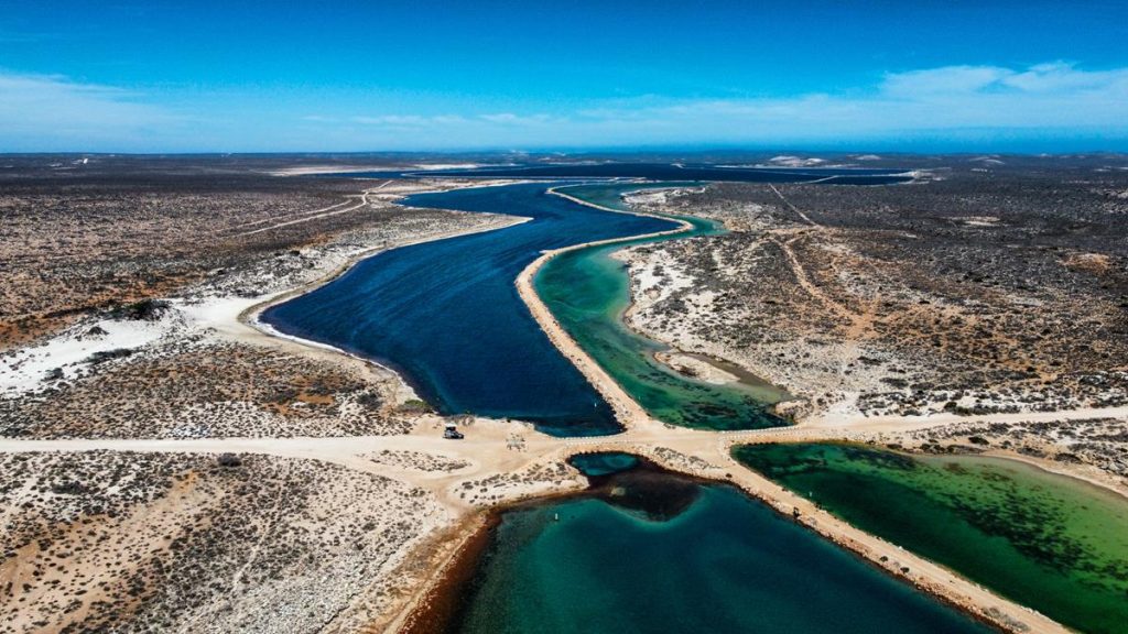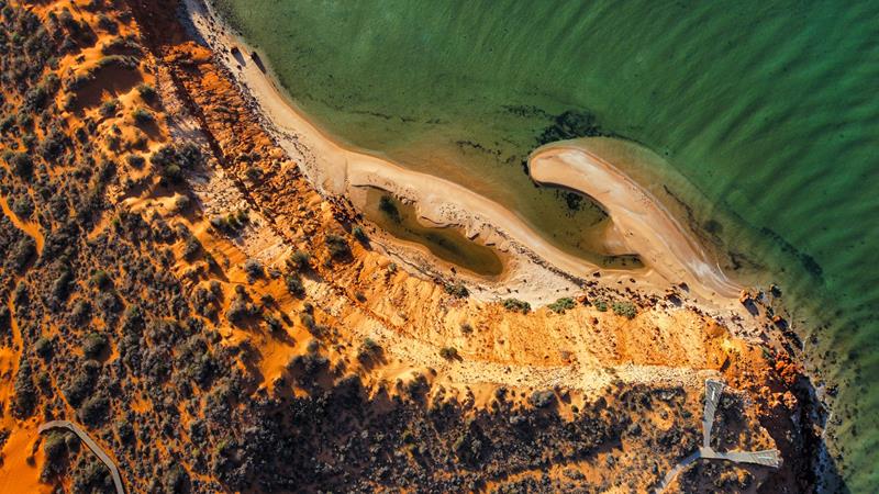
Nyinggulara (ex-Ningaloo) National Park is part of the Ningaloo (Nyinggulu) Coastal Reserves. The reserves stretch over 220km along the Ningaloo Coast from Winderabandi Pont to Red Bluff. Within the reserves, there are a few areas. These include Warroora Coast, Cardabia Coast (around Coraly Bay), Gnaraloo Coast, Quobba Coast (Red Bluff), and Nyinggulara National Park.
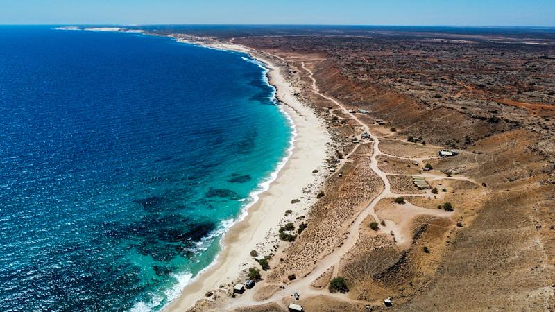
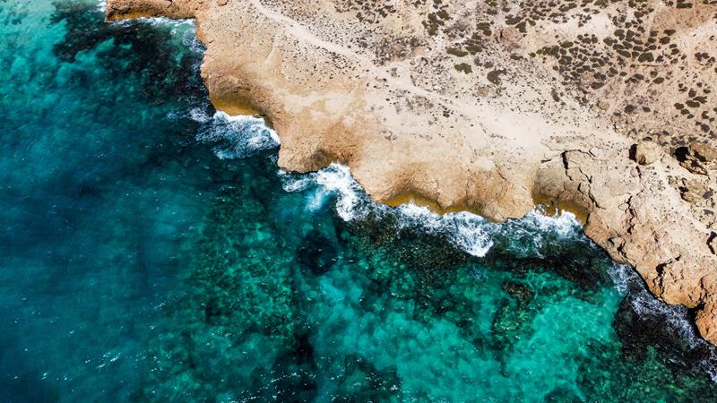
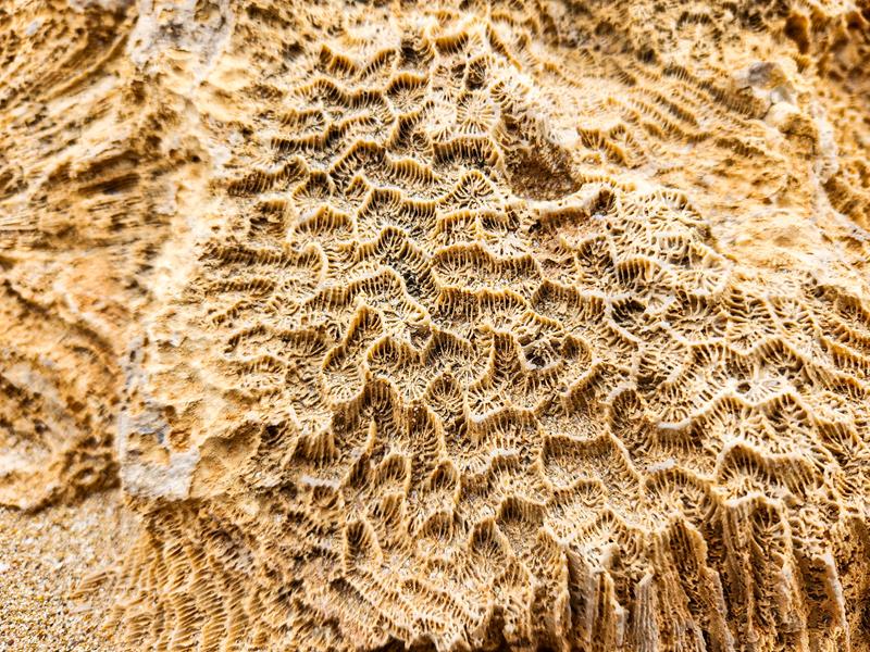
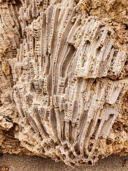
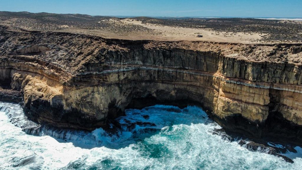
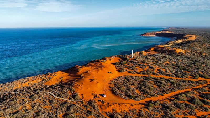
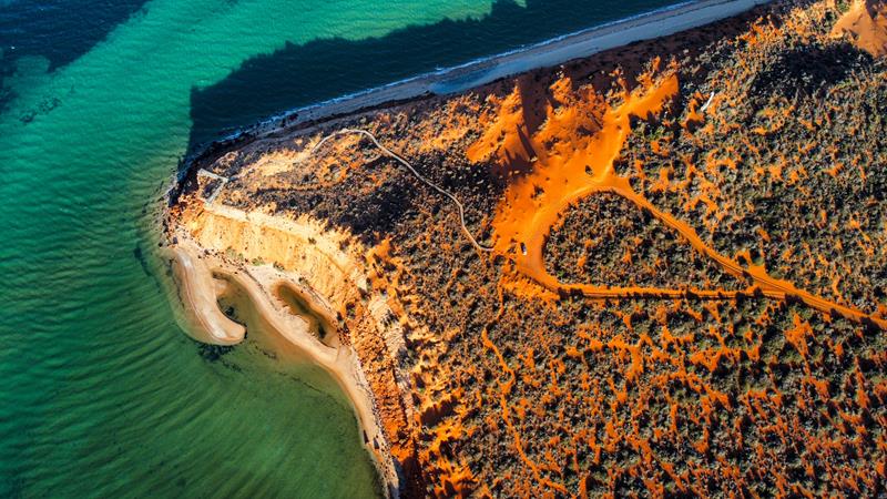
The Ningaloo Coast is a World Heritage site. It is known for being Australia’s largest fringing coral reef. It is also the only large reef that is very close to land. The Ningaloo Coast approximately 1200km north of Perth.
Camping at Nyinggulara National Park
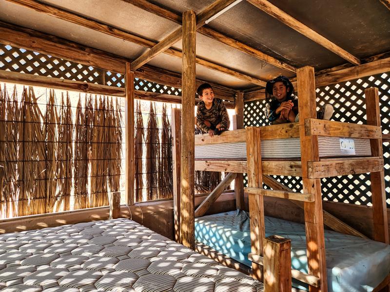
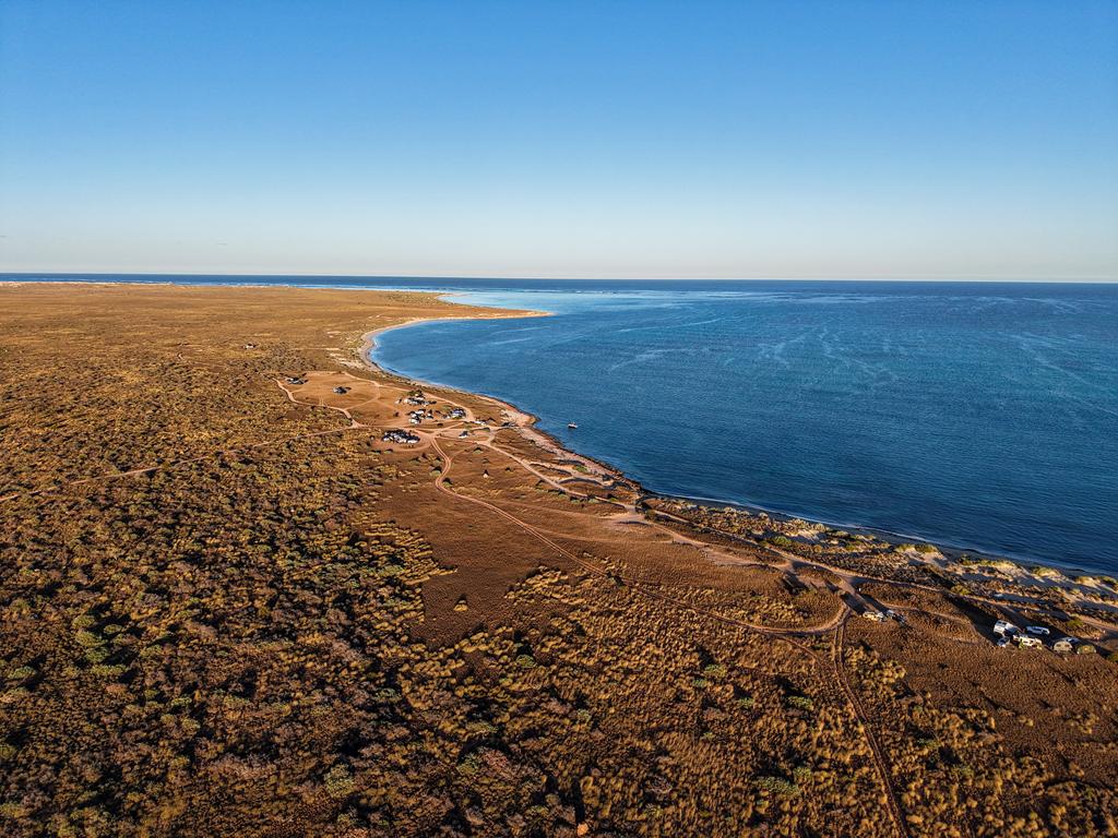
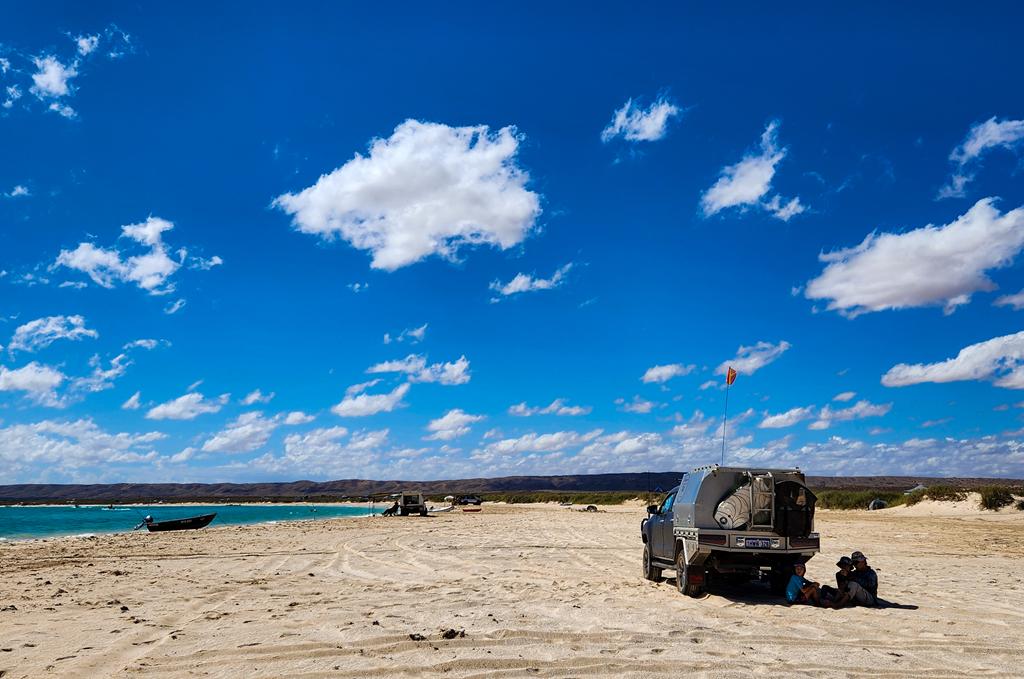
Nyinggulara National Park has 5 campgrounds: Winderabandi, North Lefroy, Point Billie, South Lefroy and Janes Bay. All campgrounds are similar in terms of facilities, of which there are none. There are no toilets, no bins or any other facilities. You are required to bring a chemical toilet. There is a dump point at each campground (a short driving distance of 2km or so). You are paying for a view and a privilege to camp in a remote pristine place. The cost for camping is $10 per person per night, $5 per child. The sites must be booked online in advance through Park Stay WA . There is no national park entry fee. The good thing is that you can bring your dog there.
Point Billie
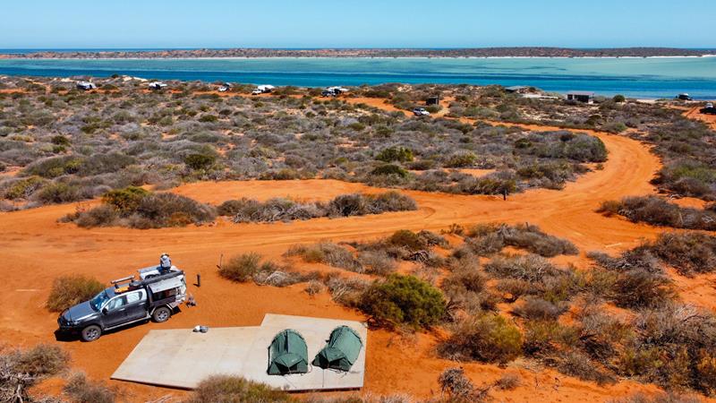
There are 39 camping spots at Point Billie and they are just a short walking distance to the beach.
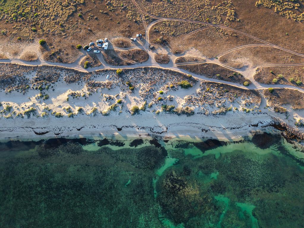
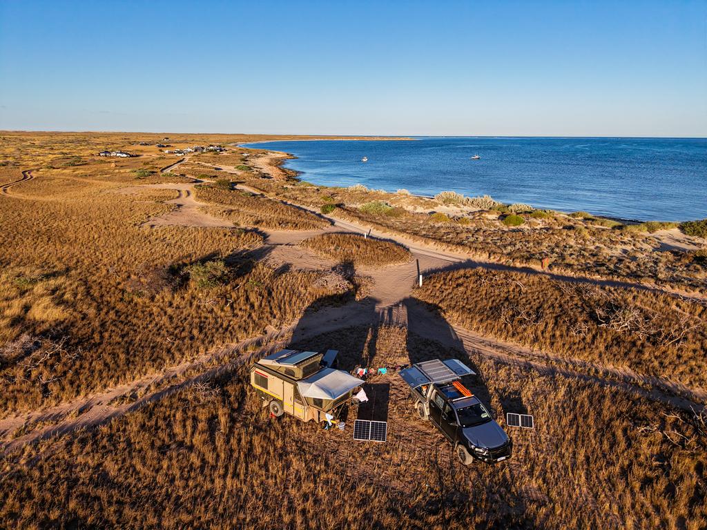
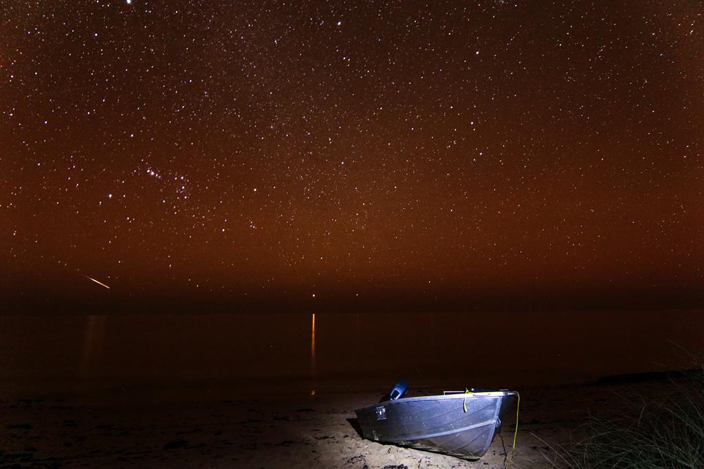
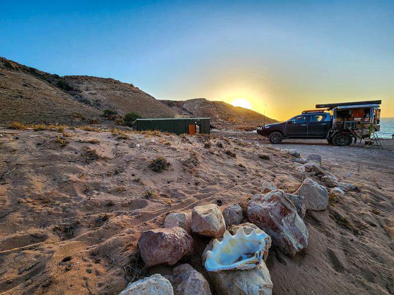
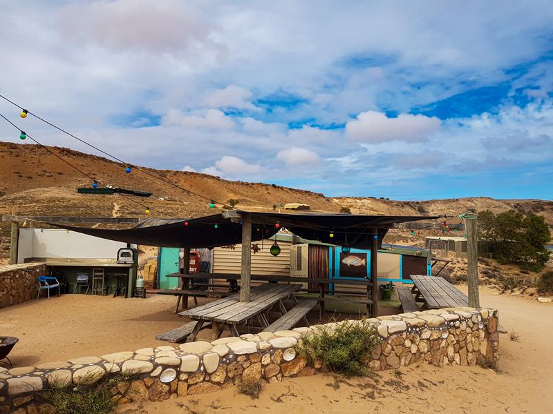
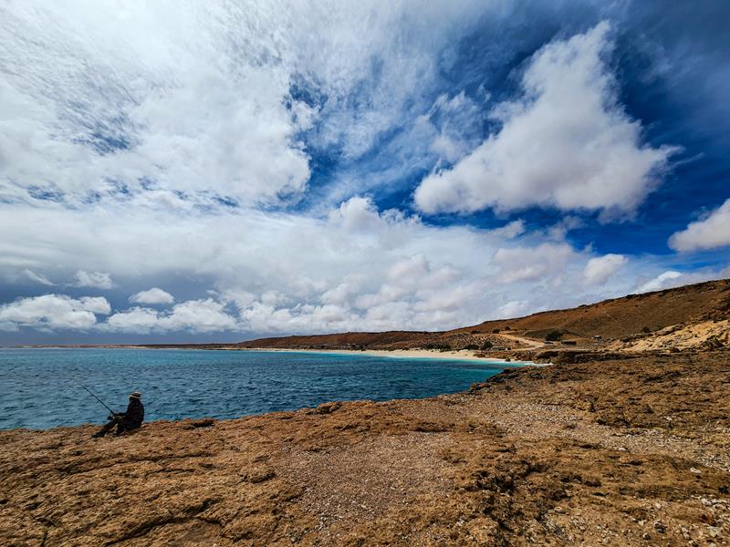
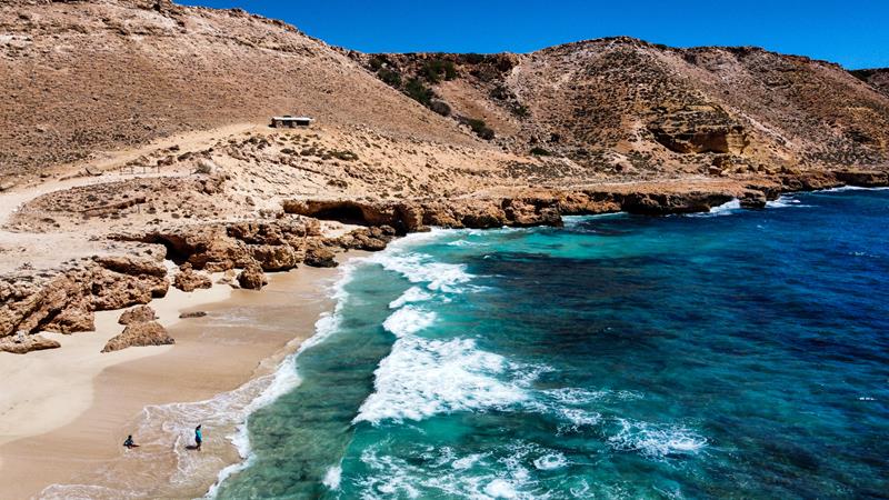
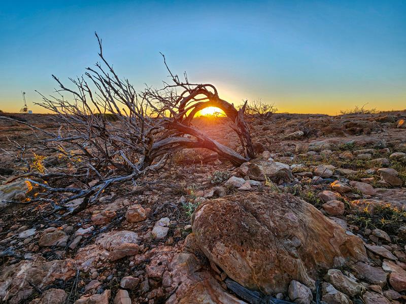
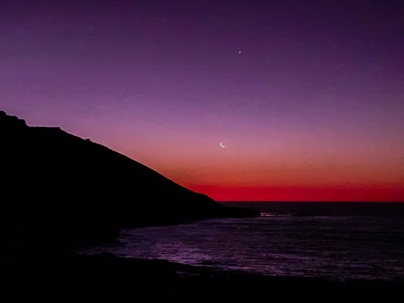
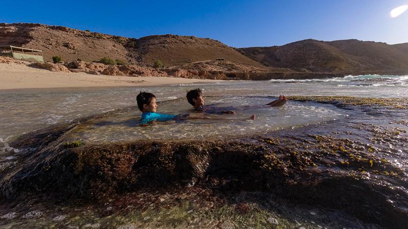
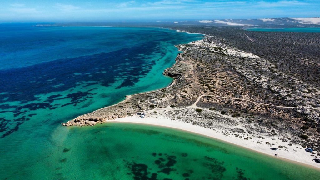
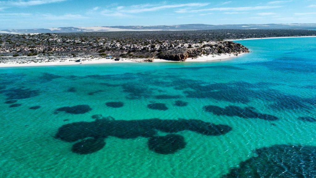
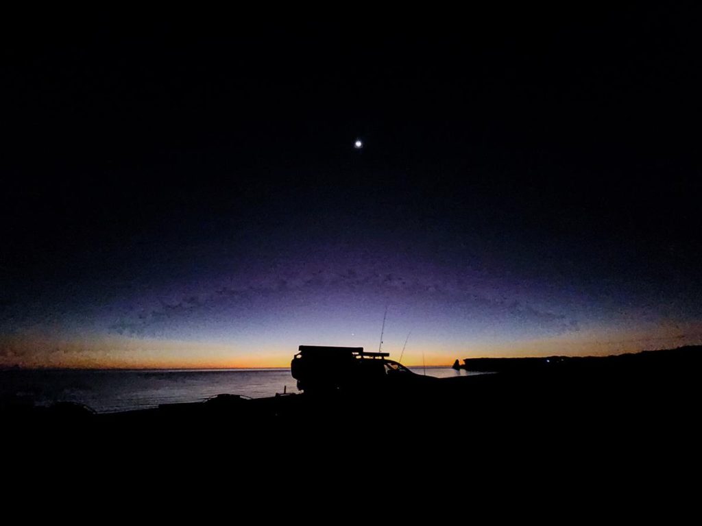
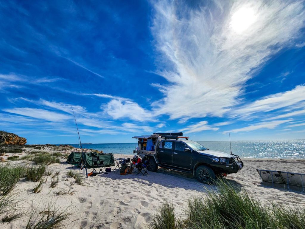
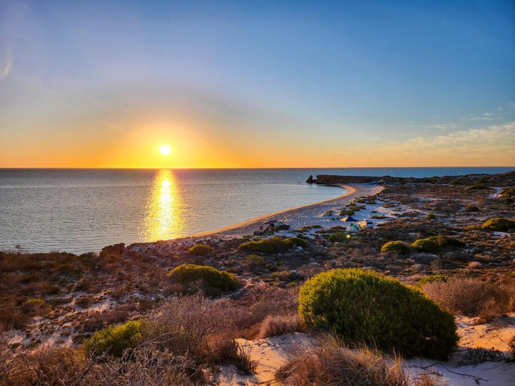
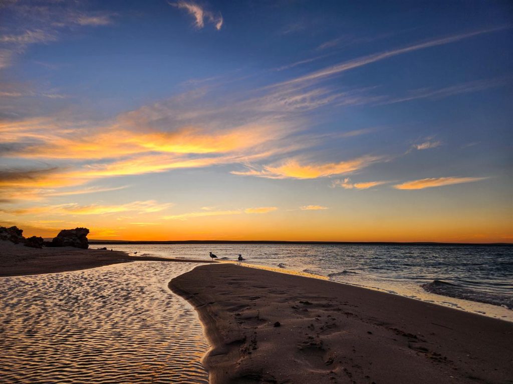
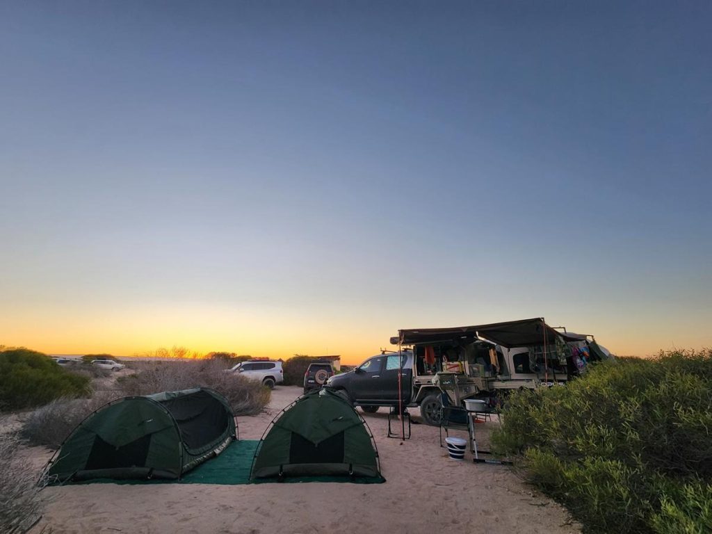
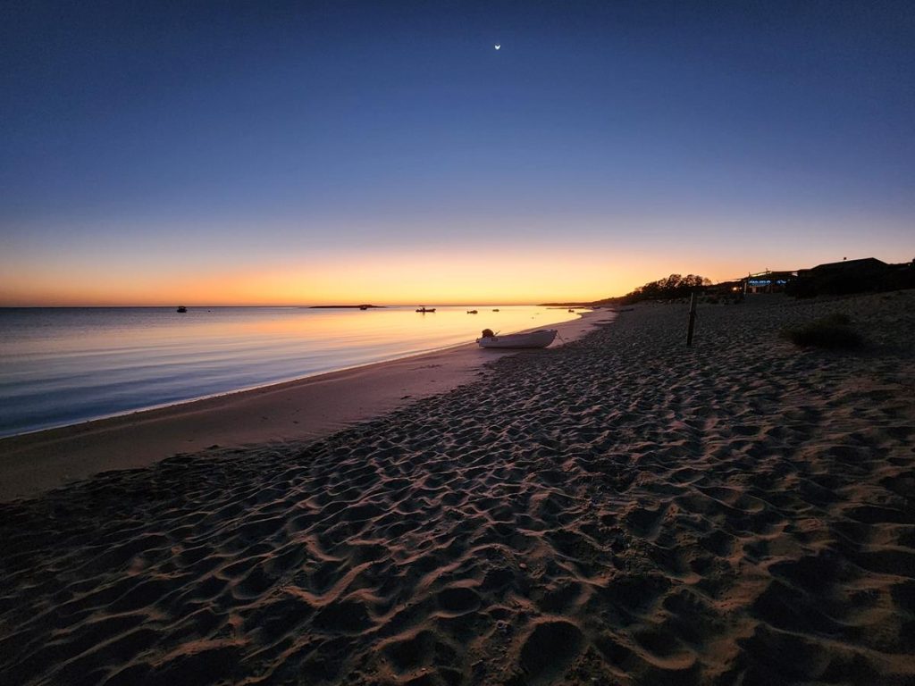
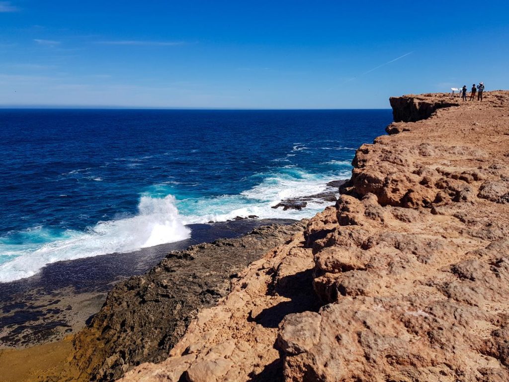
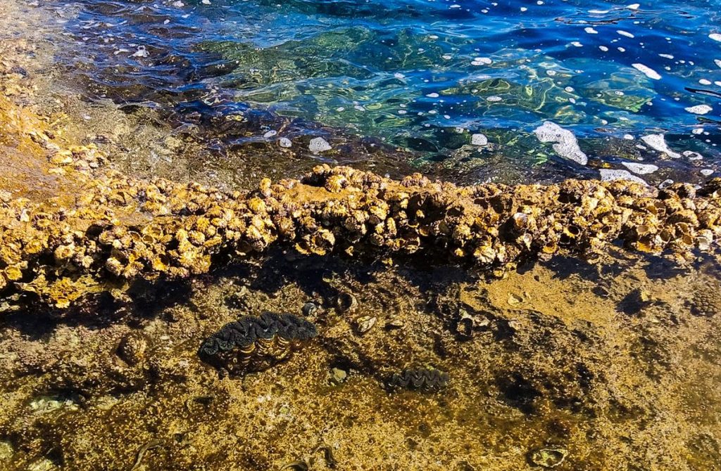
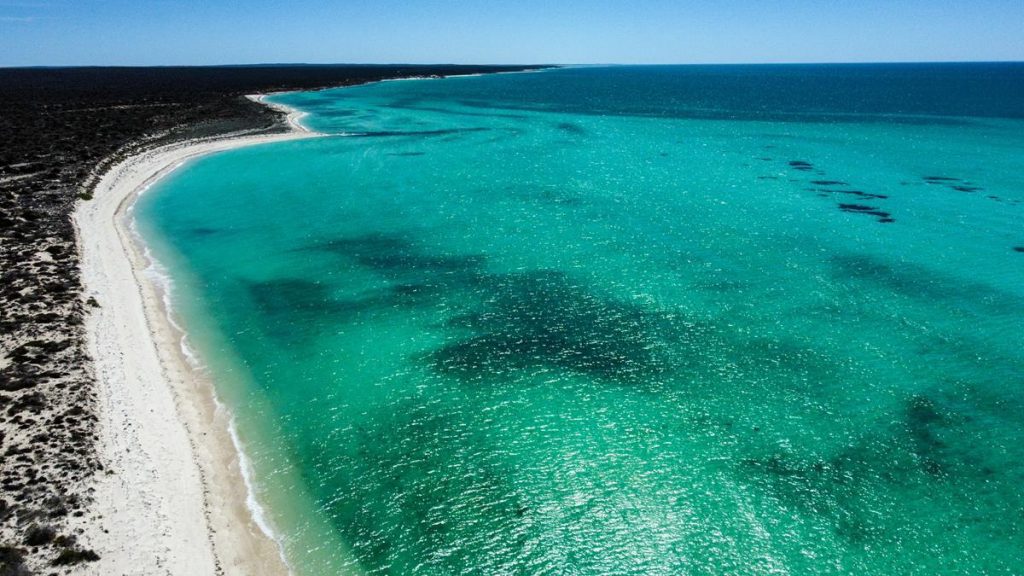
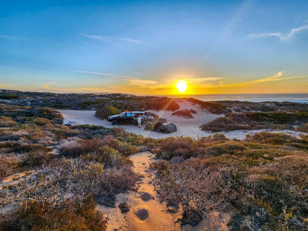
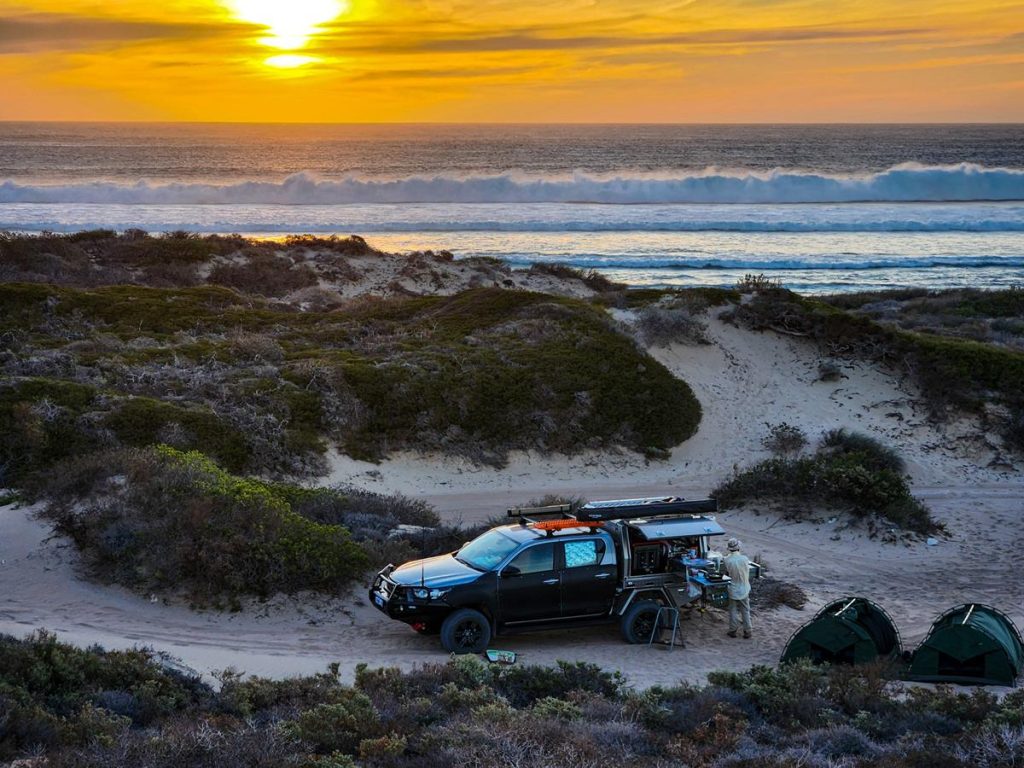
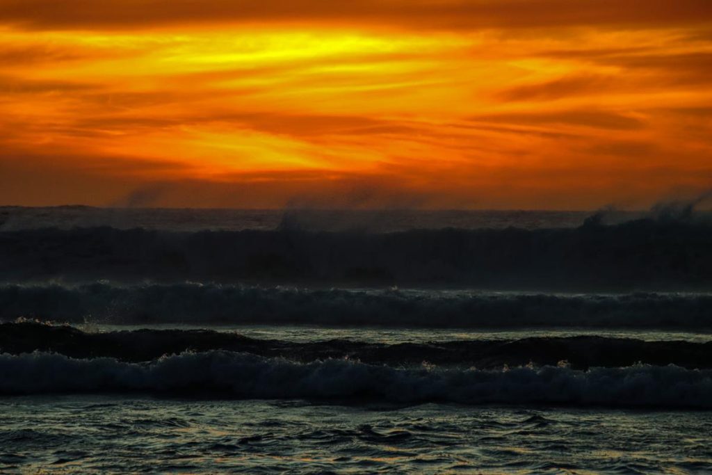
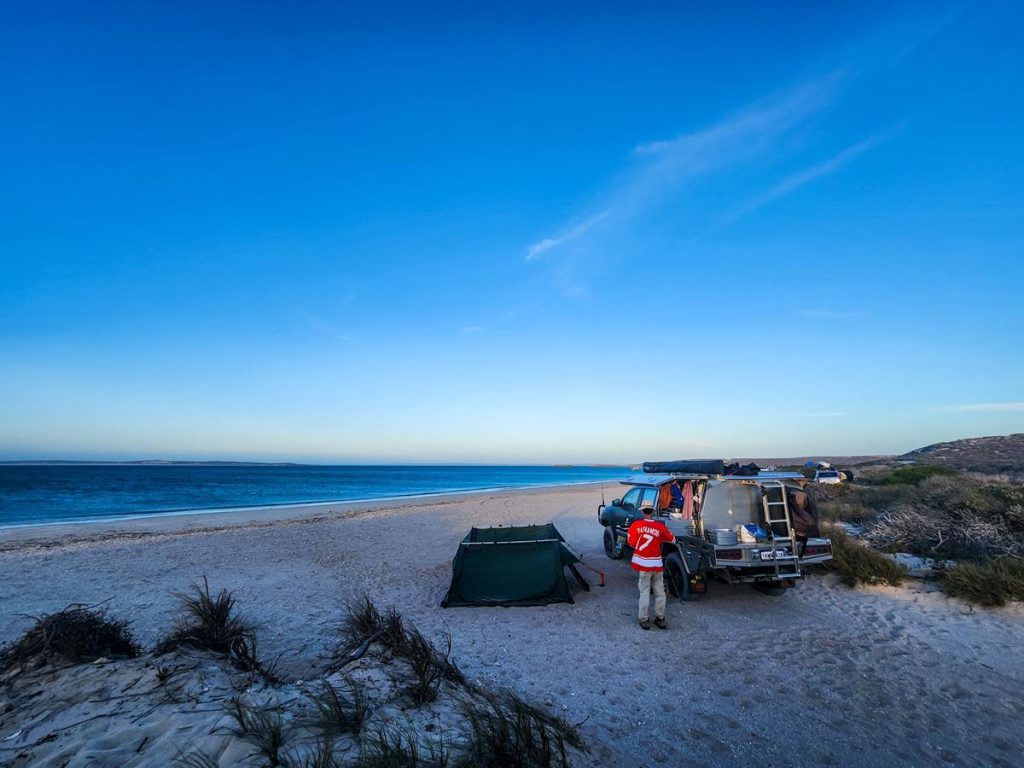
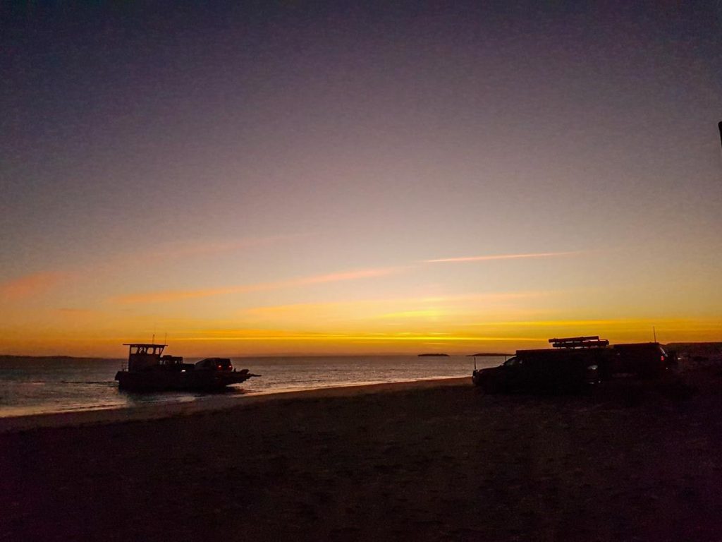
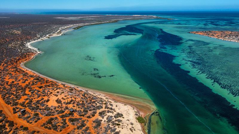
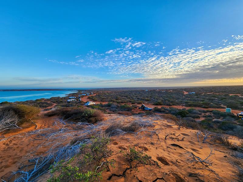
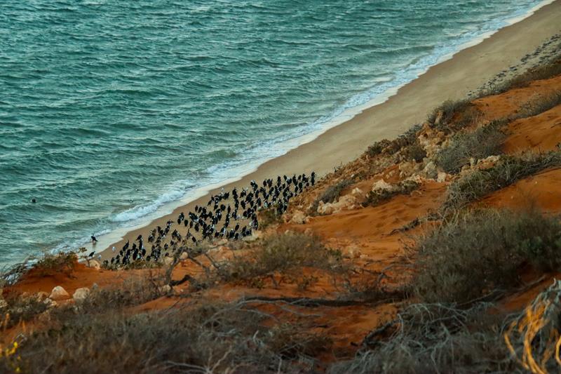
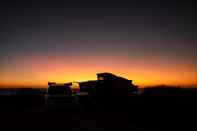
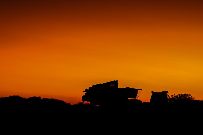
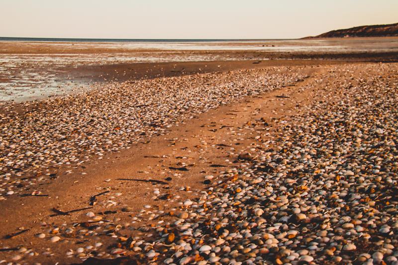
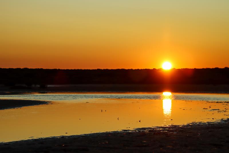
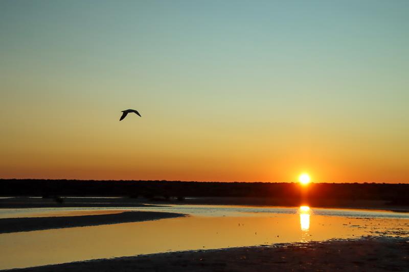
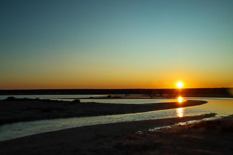
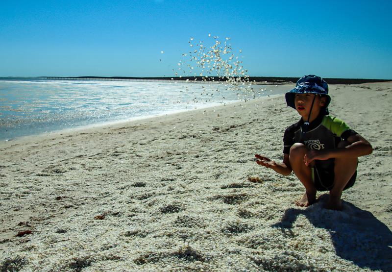
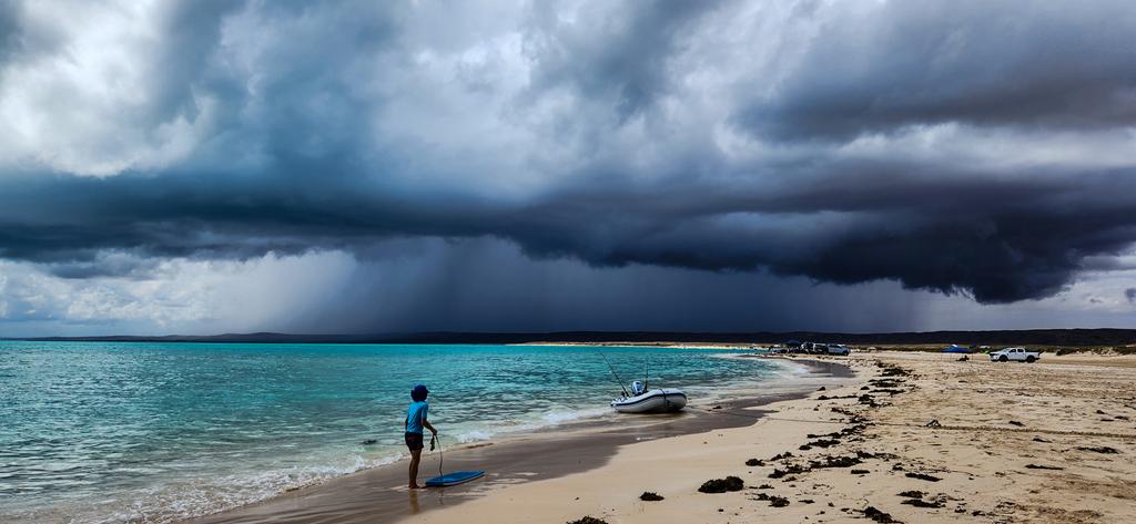
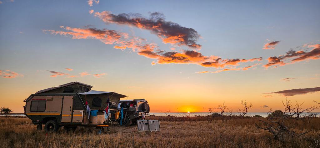
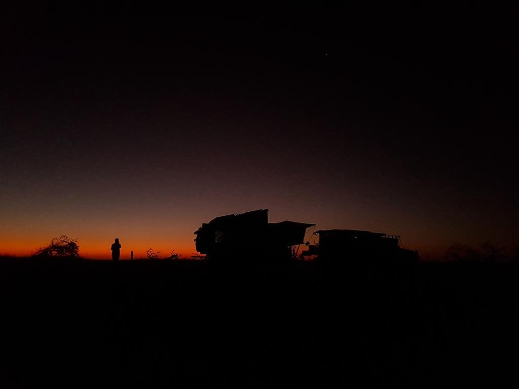
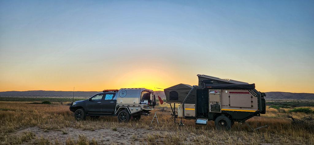
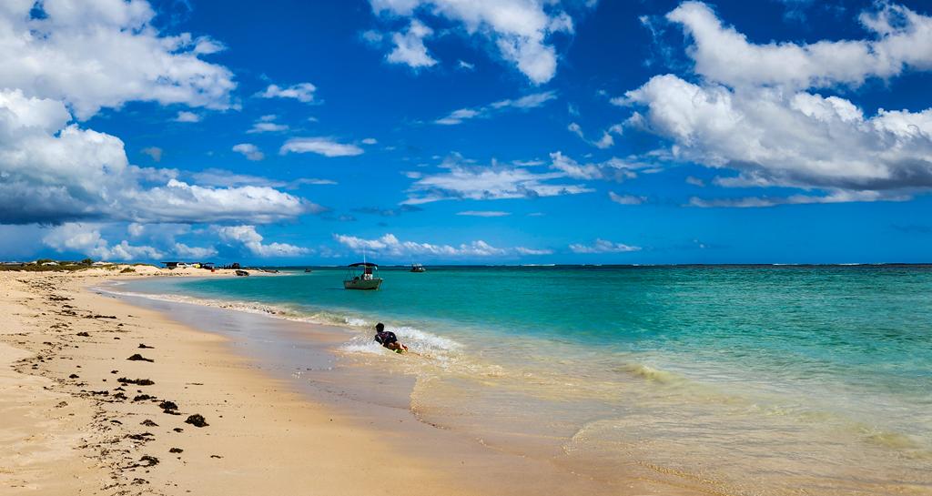
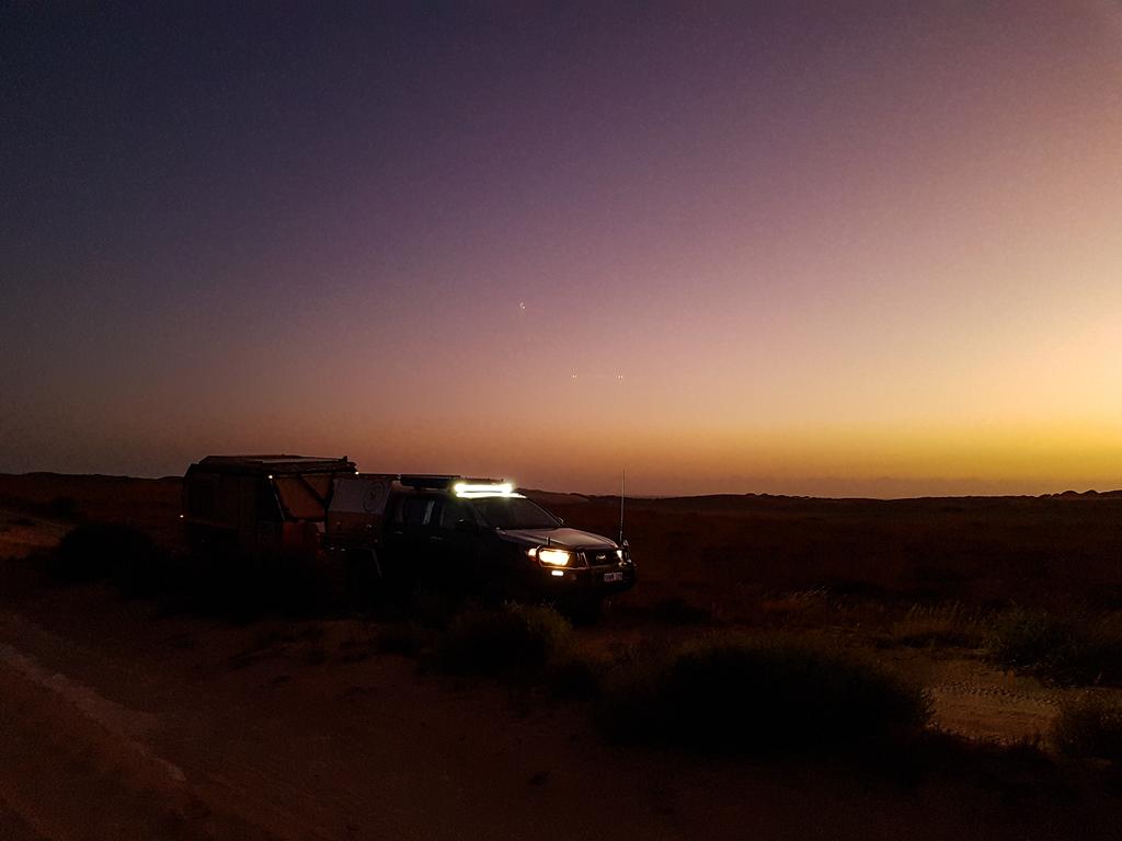
The beach at Point Billie is not the best looking and has a lot of seaweed. We went to nearby South Lefroy for swimming which was very beautiful and clean. Point Billie, like other campgrounds on the Ningaloo Coast are popular for those who are into boating and fishing. In fact, nearly every second camper had a boat of some sort, when we stayed there over Easter long weekend. Despite the strong south easterly winds blowing the first 2 days we were there, we enjoyed our stay. Sunsets are magical and the closeness of the ocean is therapeutic.
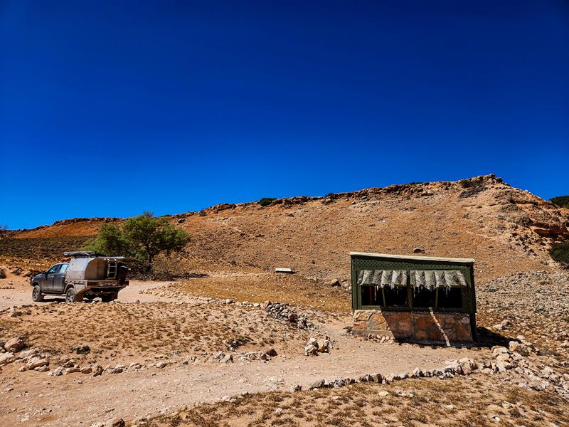
Point Billie is the only campground with non-portable water. It is located at the intersection of Cardabia-Ningaloo Road and the turning point to Point Billie.
Winderabandi
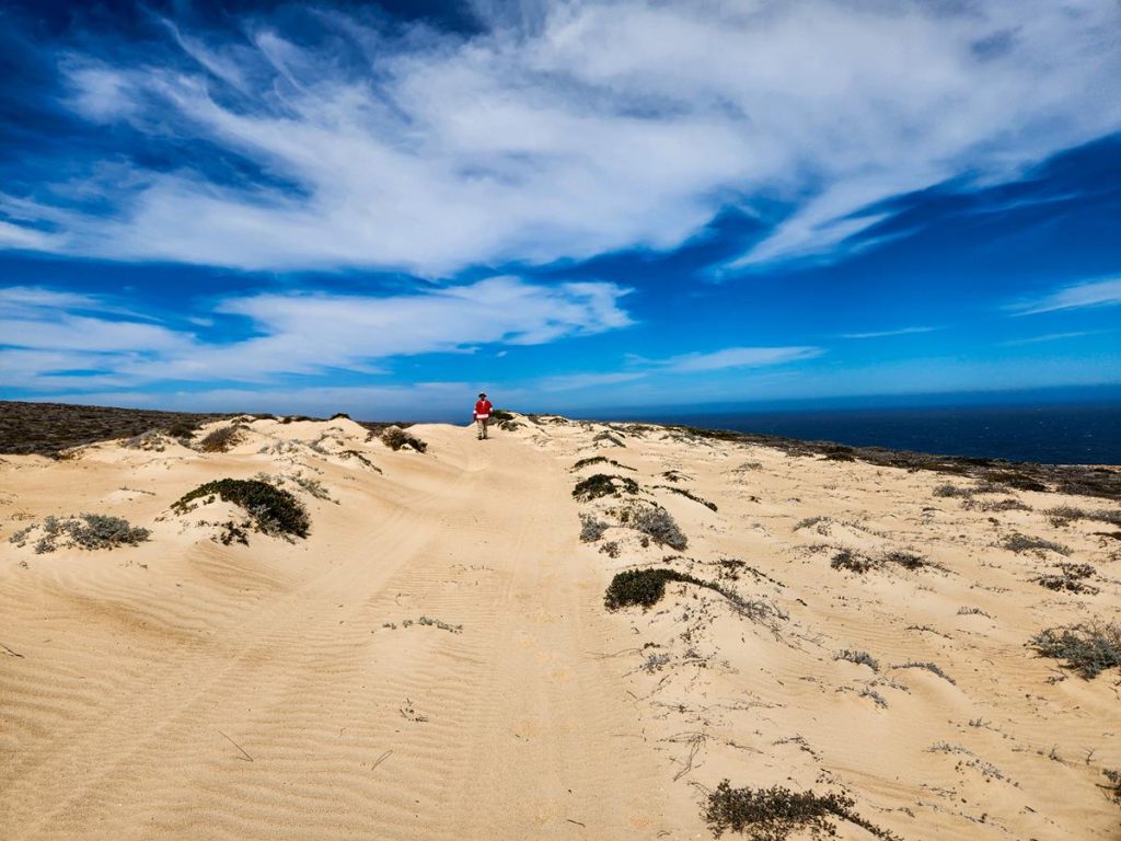
Winderabandi is a medium-sized campground with 49 camping spots which vary in size. We didn’t stay there but drove to have a look. Each site looks very different. While there are some sites with privacy, others are right next to the driveway. Some sites are very close to the beach, others tucked behind the dunes. Some are too small for a caravan. There is also a big camping area literally on the beach. The surface on all the sites is very soft sand. In some areas, it may be an issue if you are towing. If you don’t mind soft sand and have a boat, this looks like a great campsite for you.
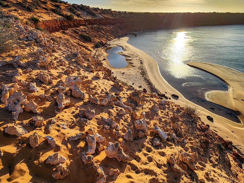
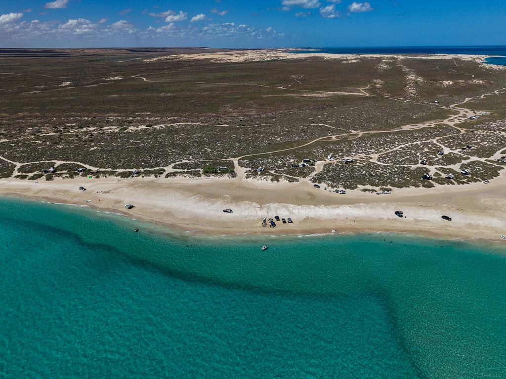
South Lefroy
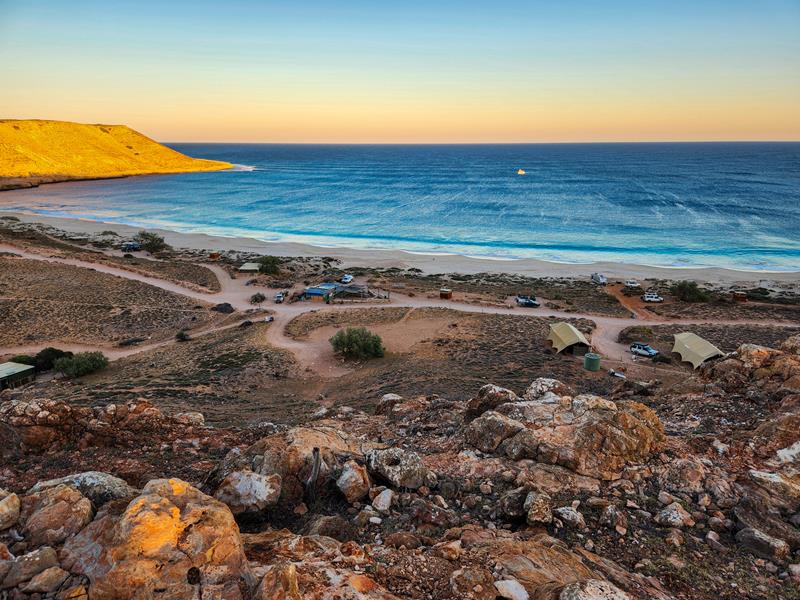
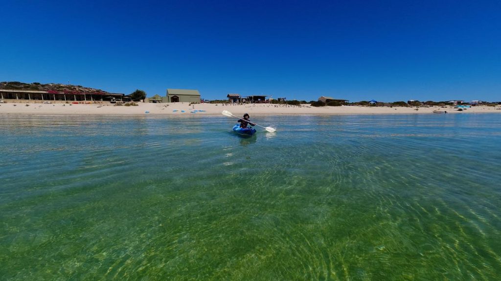
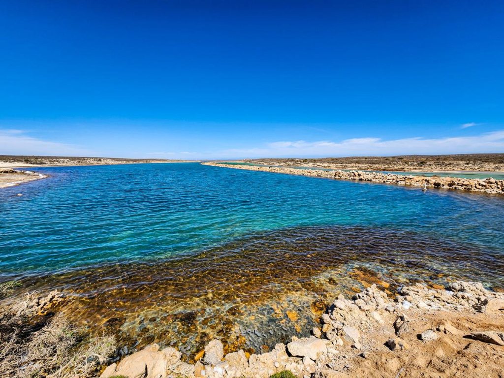
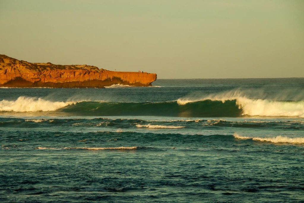
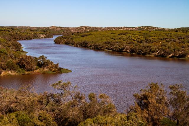
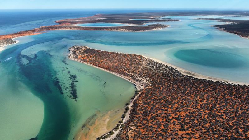
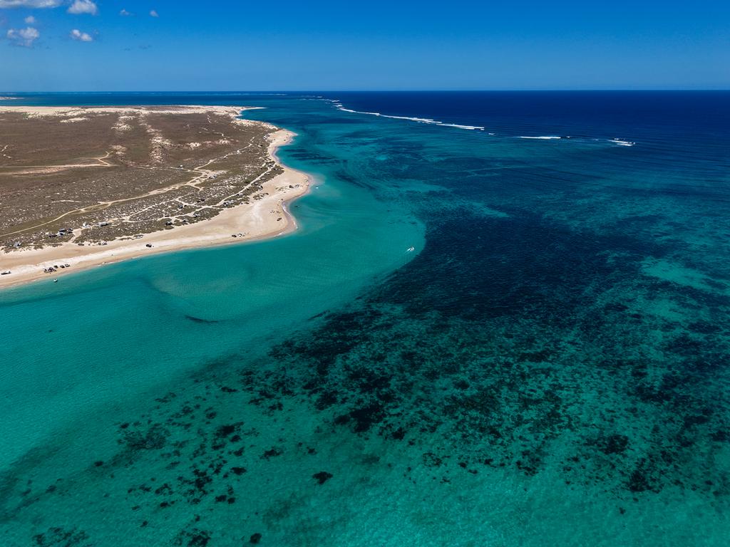
South Lefroy is the probably the most beautiful place in Nyinggulara National Park. It is quite a large camping ground with 87 camping spots. The sites vary in size and position. Some of the spots are too tight and small for caravans, others are close to beach. Still others have very soft sand.
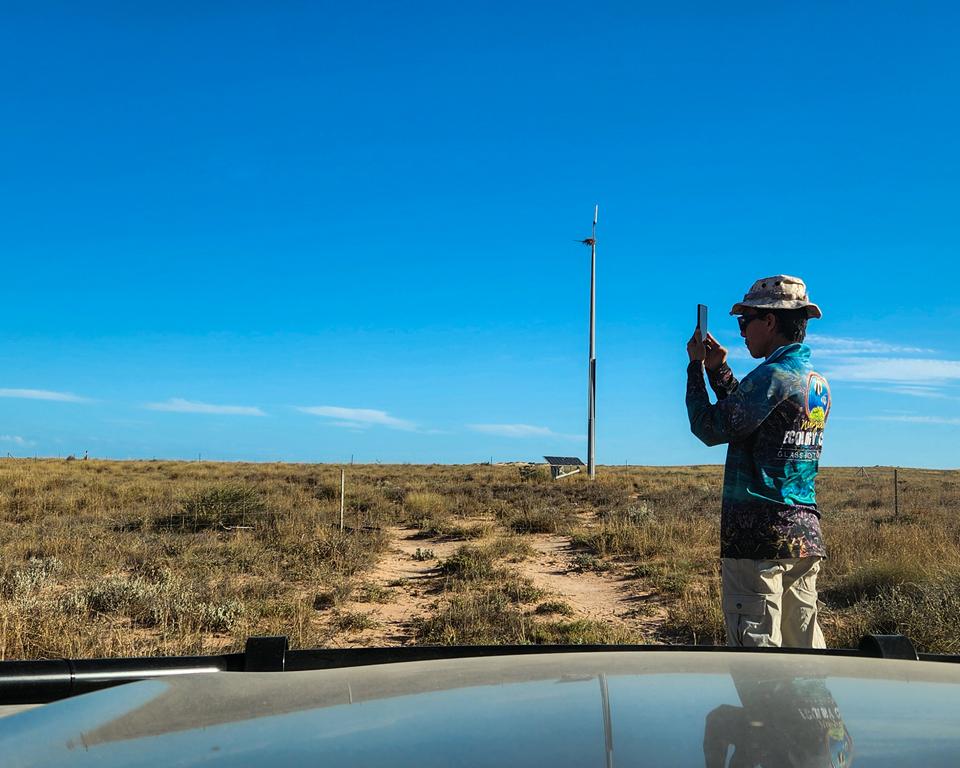
There is a mobile booster tower, at the turn off to the campground from Cardabia Ningaloo Road. It might work for certain types of phone at the turnoff to the campground but it didn’t work for us. After the turn off to the campground, the track is quite soft. There is also a small sandy hill to climb.
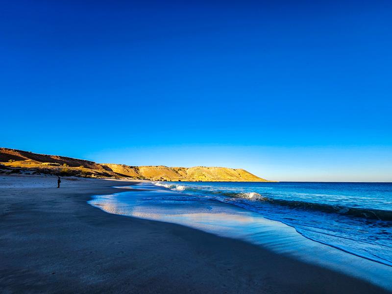
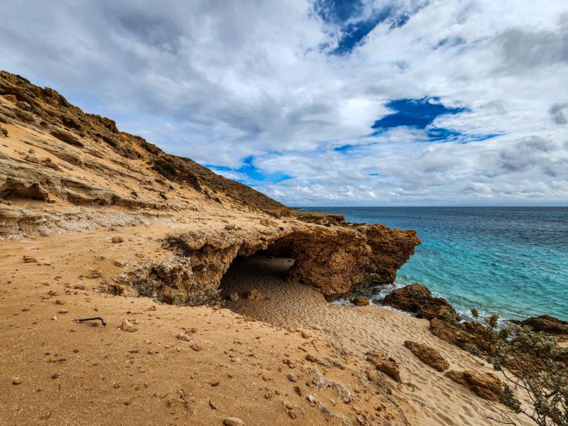
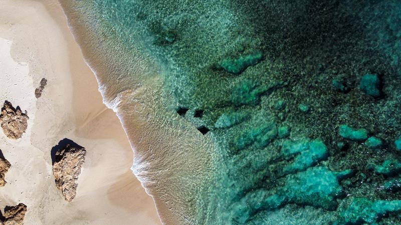
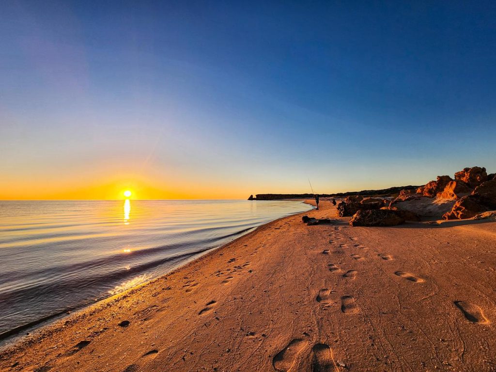
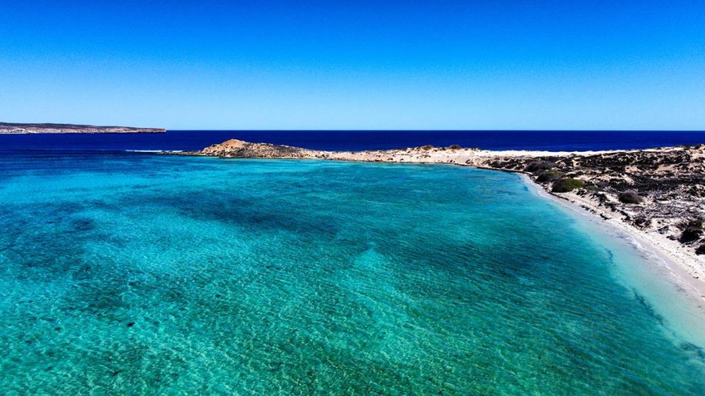
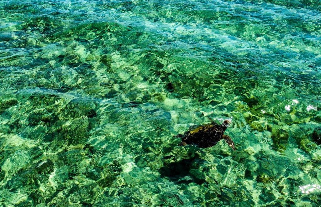
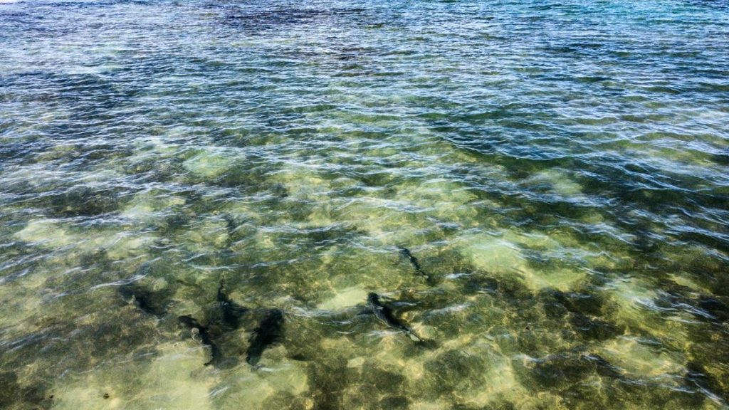
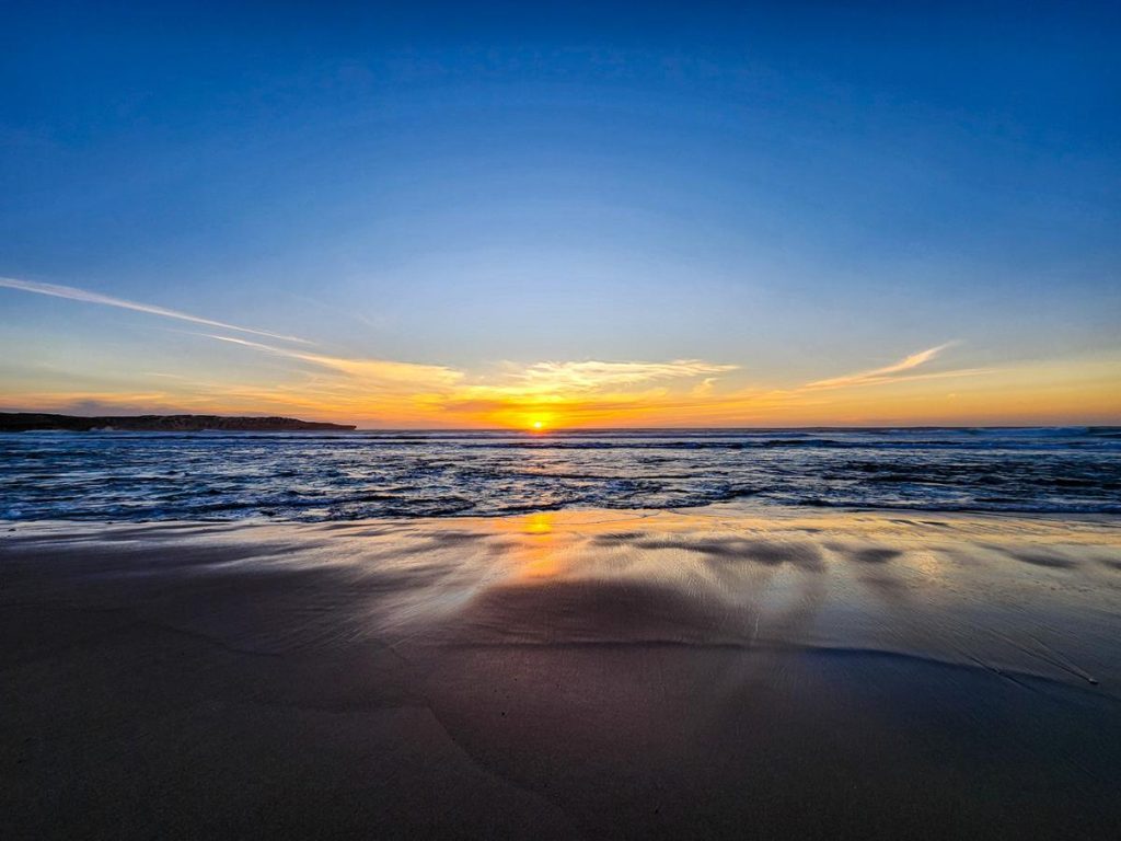
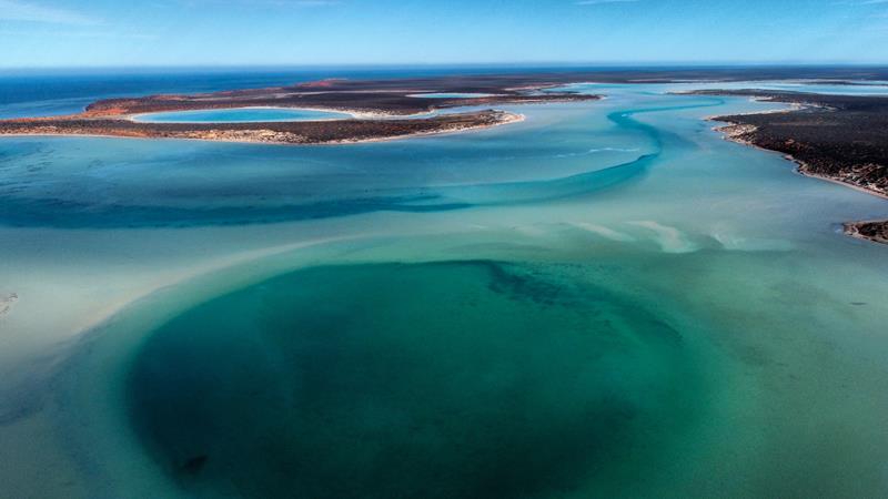
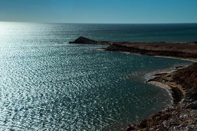
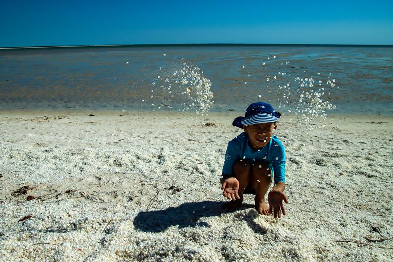
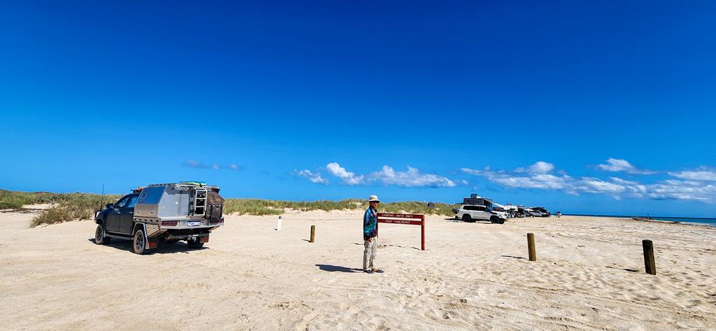
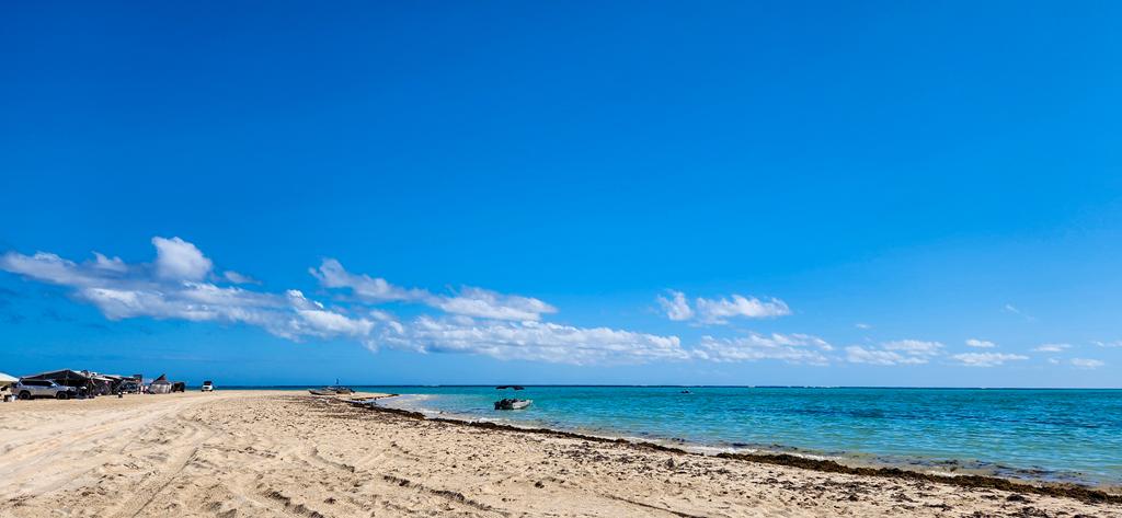
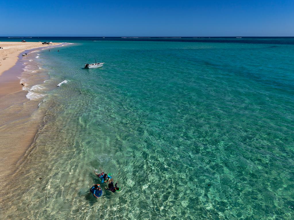
We did not stay at South Lefroy because we couldn’t get a spot. We tried booking online the moment bookings opened but all the spots for the dates we wanted were taken. Instead, we stayed at a nearby Point Billie and made a day trip to South Lefroy a couple of times. The beach at South Lefroy is absolutely stunning with its crystal-clear turquoise waters and wide sandy beach. You can drive on the beach. Needless to say, South Lefroy is a very popular place.
Road conditions at Nyinggulara National Park
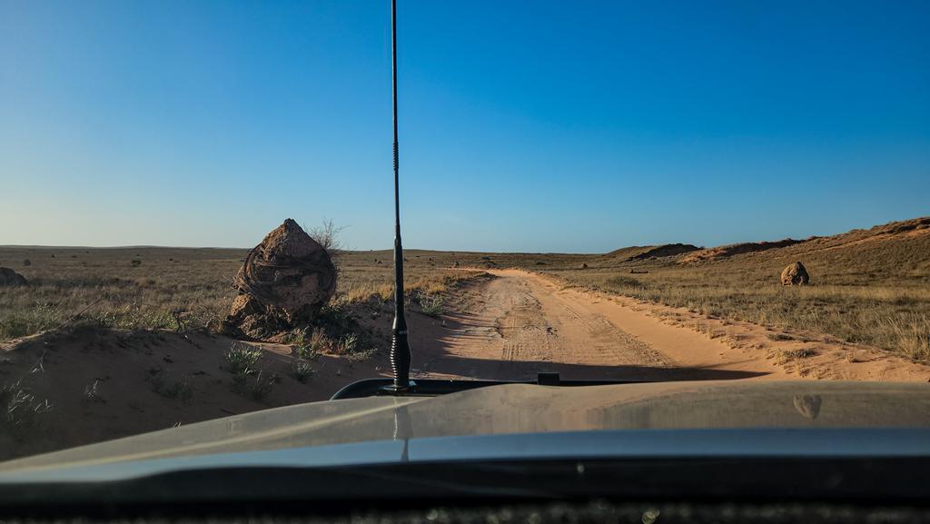
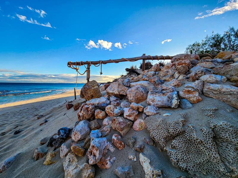
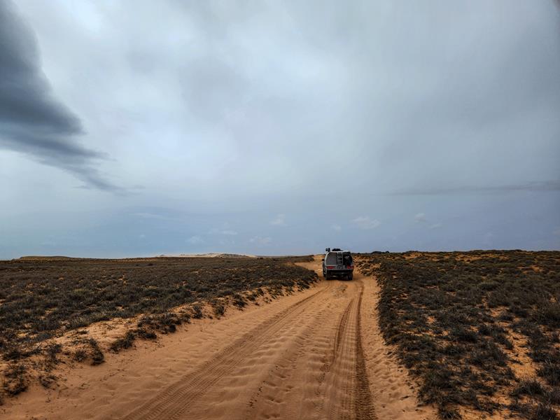
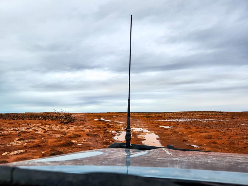
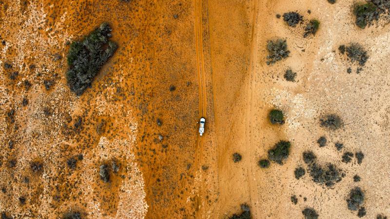
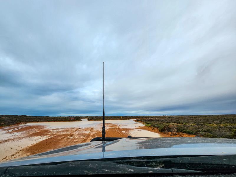
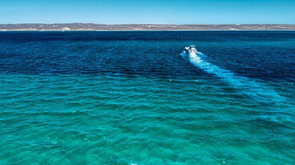
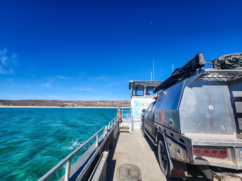
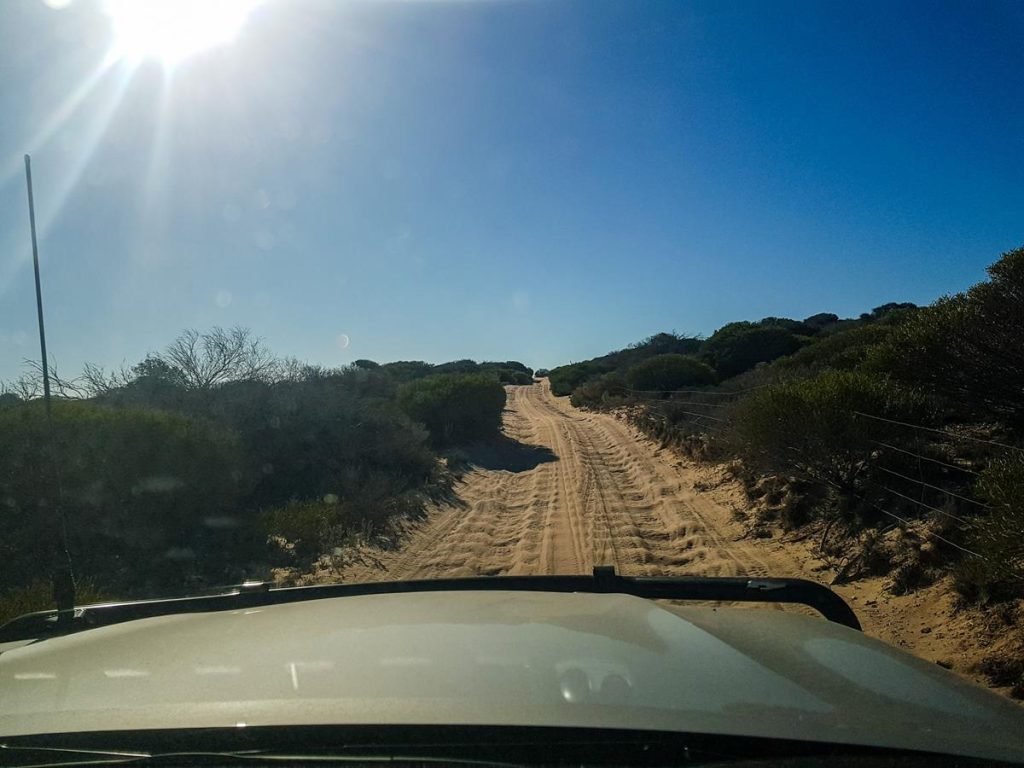
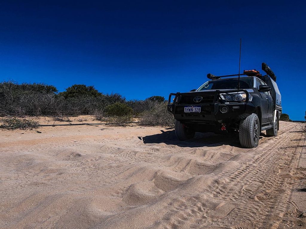
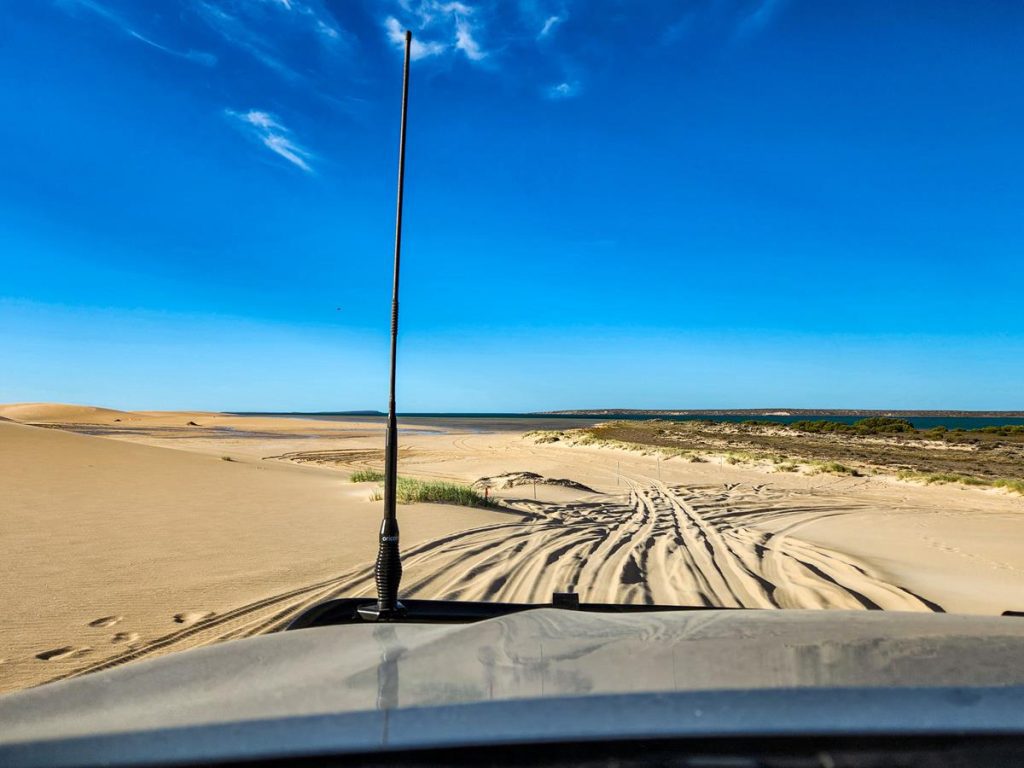
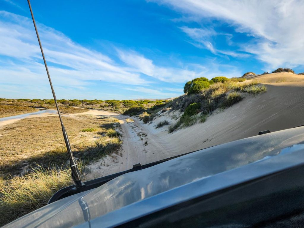
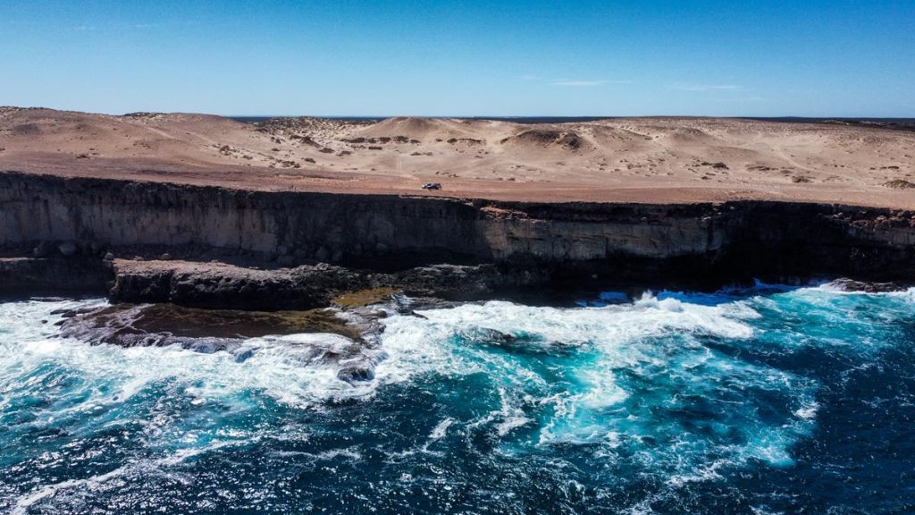
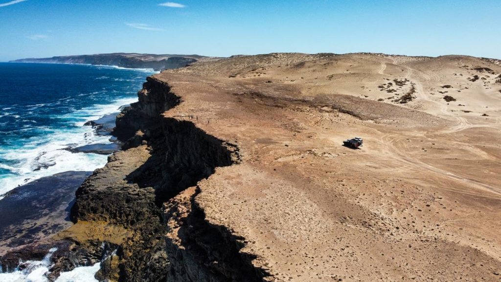
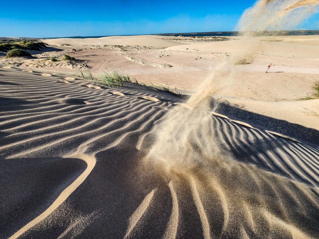
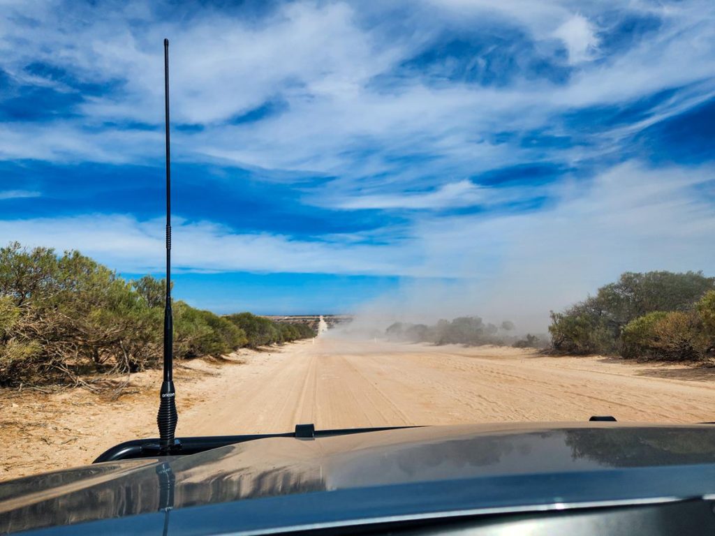
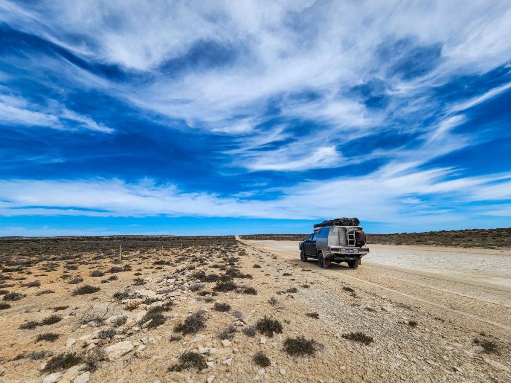
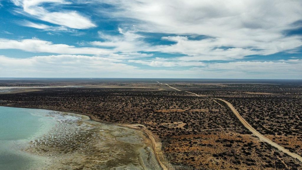
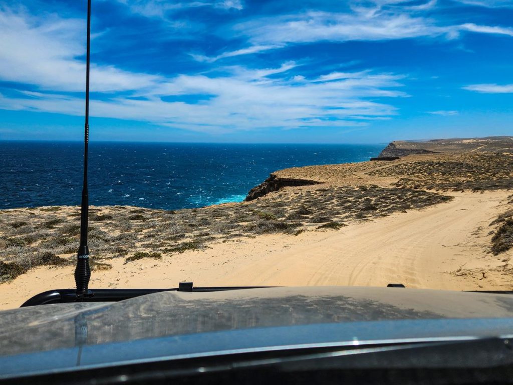
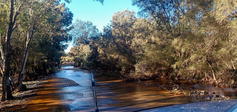
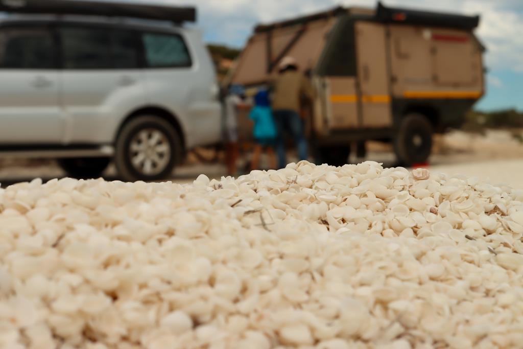
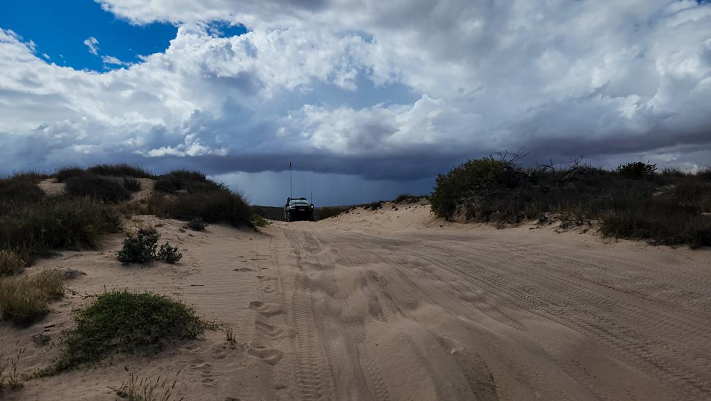
The access to campgrounds is by 4WD only via a heavily corrugated Cardabia-Ningaloo track from Coral Bay. You can also get to Coral Bay from Exmouth via Yardi Creek crossing, if it is dry. Ningaloo Road has been closed for more than a year. This is true at the time of writing – April 2025. It is unlikely to be opened any time soon. The camp hosts told us that the closure is due to massive sand dunes shifting. This shift blocked the track. All of this was the consequence of the bushfire which burnt the dune vegetation.
Cardabia Ningaloo coastal 4WD track
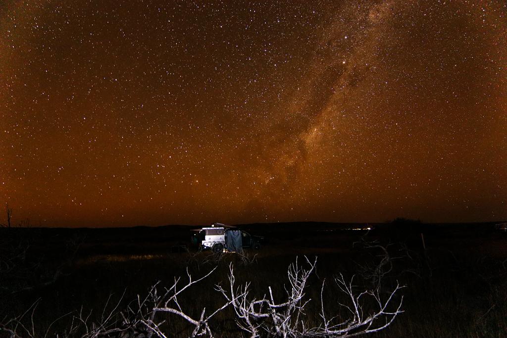
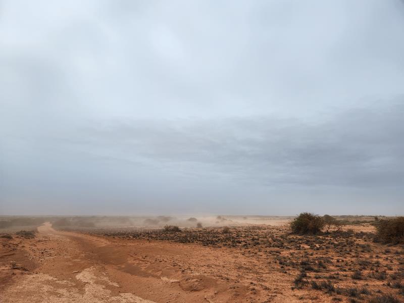
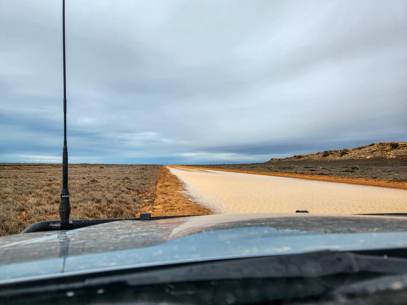
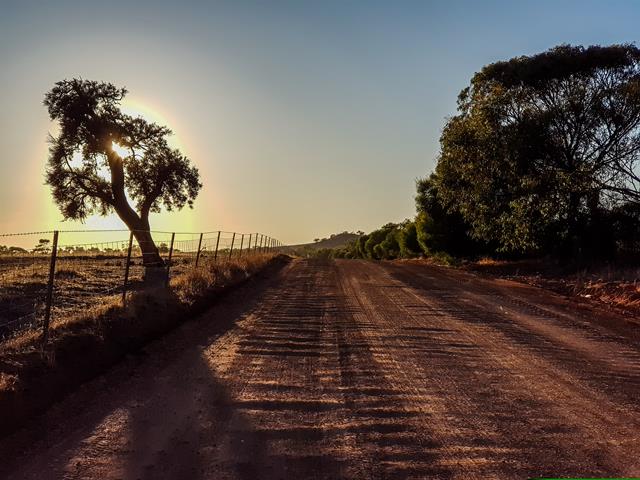
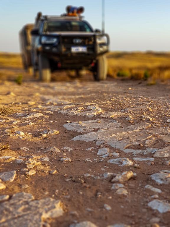
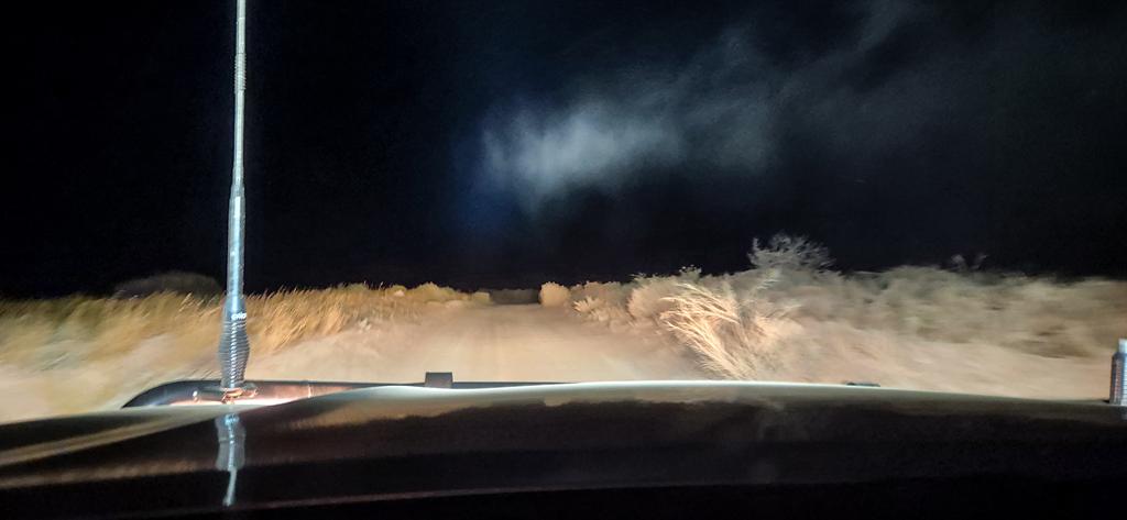
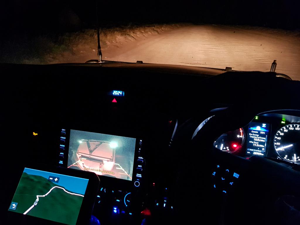
It was a slow drive from Coral Bay along Cardabia Ningaloo Road for us in April 2025. The approximately 100km drive took us nearly 4 hours (we were towing and also stopping). We travelled between 15 and 35km on a heavily corrugated track, which was a mixture of sand and rocks. We knew that travelling that slow would mean that we arrived at our destination late. It turned out we arrived even later than we thought. We had to travel in the dark too. So we decided to stop along the way to have our dinner before continuing the journey.
Then we missed the turning. When coming to a fork we saw a confusing sign pointing left to Janes Bay and right to ‘camps’. What that meant is ‘other camps further up north’. By the time we realized that we missed the turning. Turning around with a caravan in tow in the dark wasn’t easy at all. It took us quite some time. The squeaky sound of the caravan breaks was horrifying when we reversed all the way into the bush. Luckily the track was wide, and we managed to get back on track.
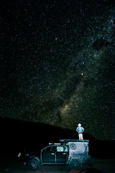
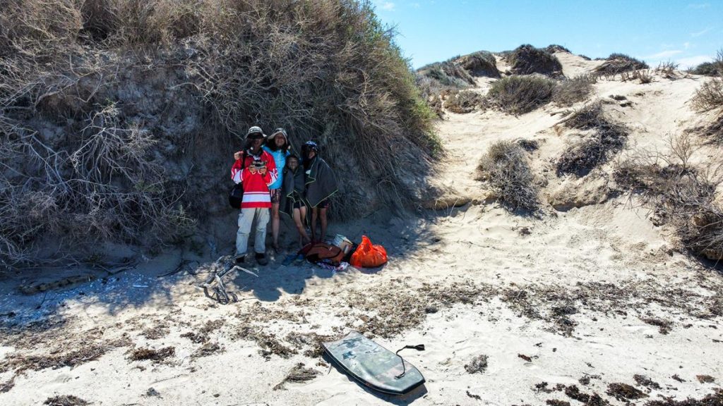
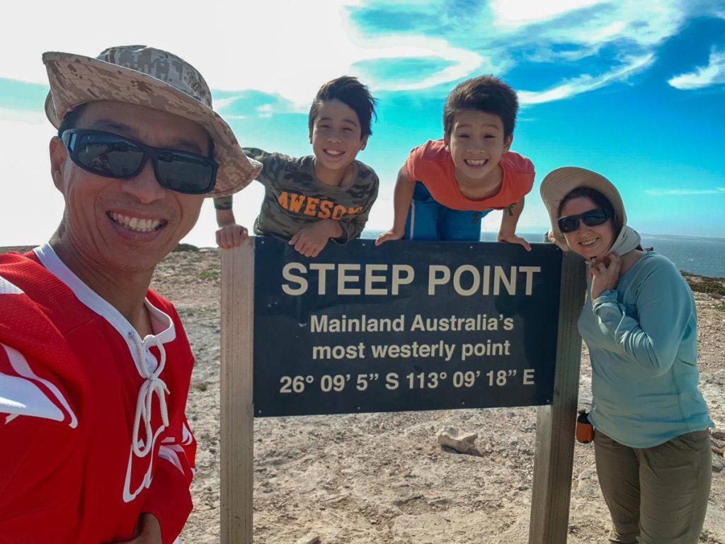
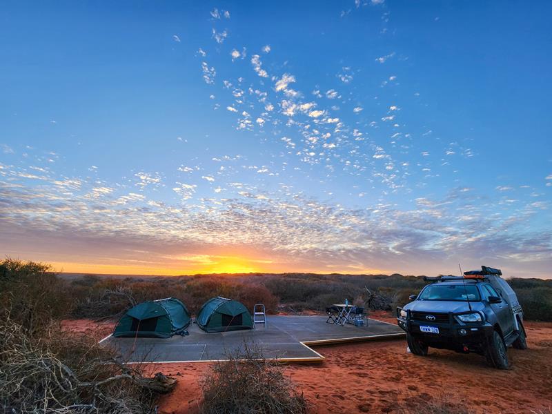
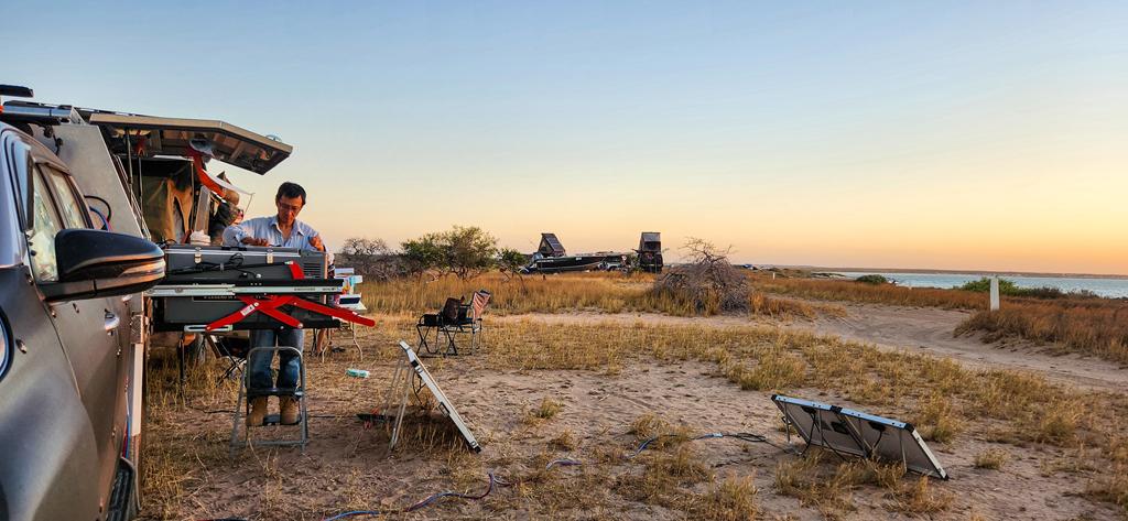
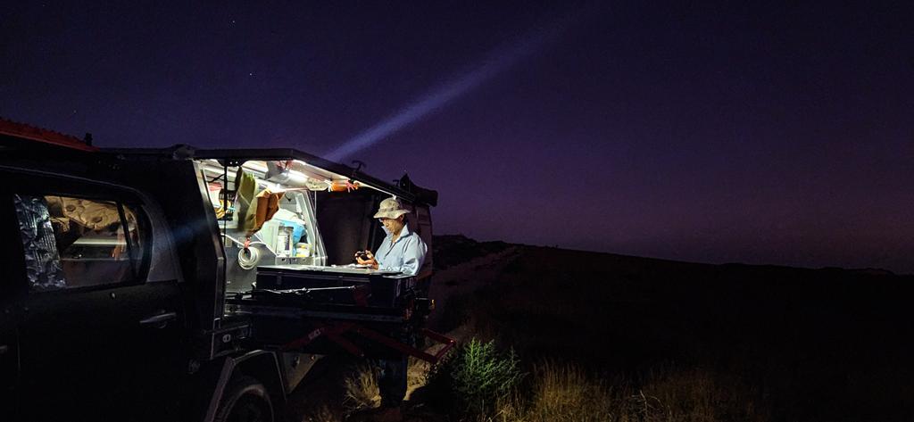
We had a good time staying at Point Billie campground for 4 nights over Easter in April 2025.