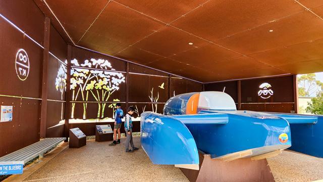
Dumbleyung, like many Wheatbelt towns, is steeped in history. This South Wheatbelt community is known for two standout features. One is Lake Dumbleyung. The other is the Blue Bird — the speedboat in which Donald Campbell set a new world water‑speed record on Lake Dumbleyung in 1964. To this day, he remains the only person to break both the World Land Speed Record and the World Water Speed Record in the same year.
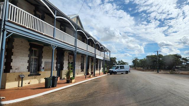
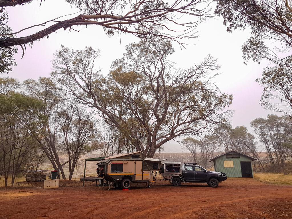
As we drove through town, we noticed a sign in the window of the local pub offering free camping, along with free showers and toilets. It sounded like an incredibly generous deal. We assume the idea is that you buy dinner or at least a drink in return. We didn’t try it ourselves, but definitely made a mental note. If you’re passing through and need an overnight stop, it’s worth checking out.
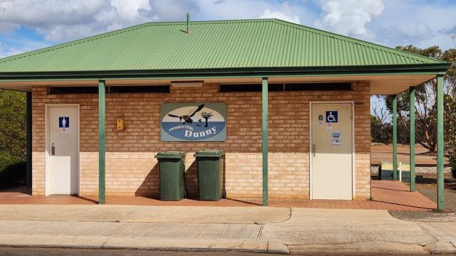
And of course, the “Dunny” sign caught my eye — not every loo comes with its own painted artwork 😊.
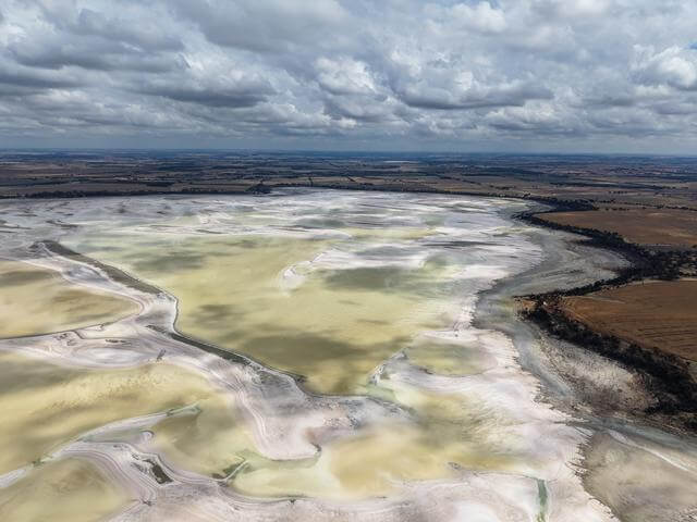
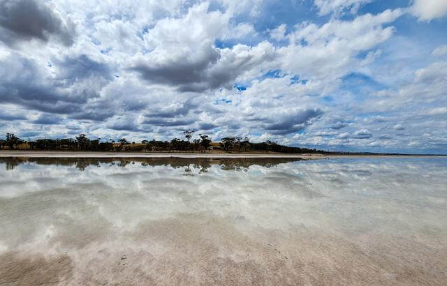
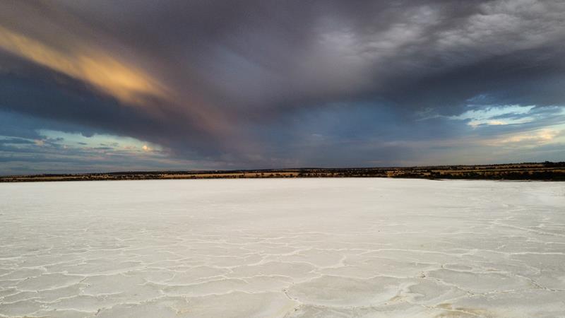
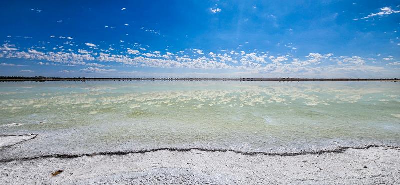
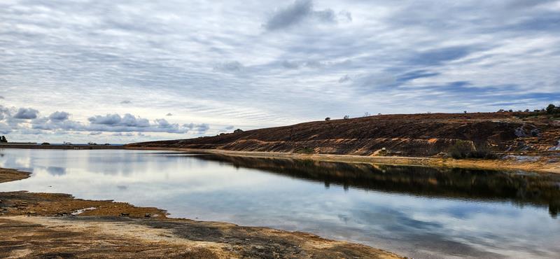
Lake Dumbleyung
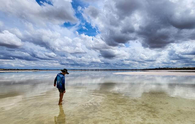
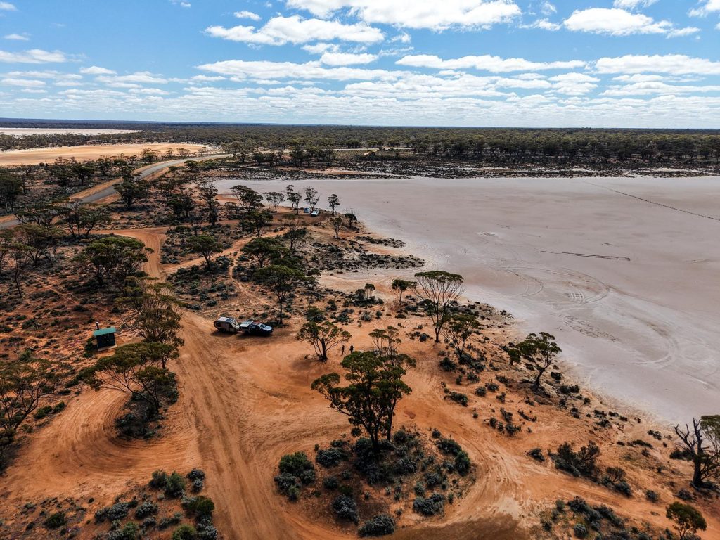
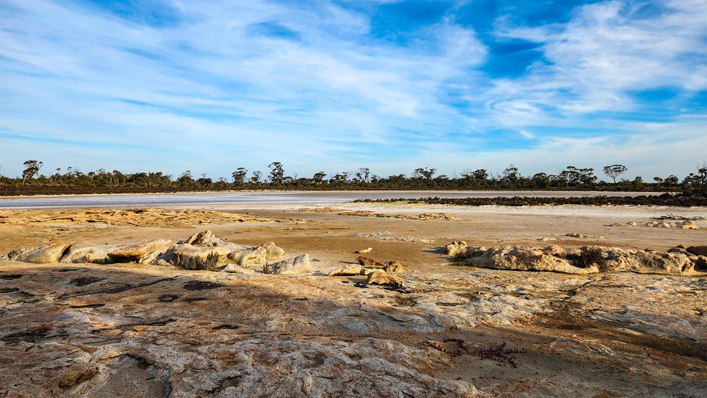
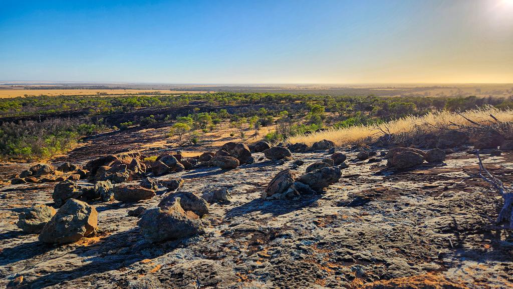
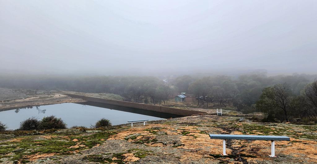
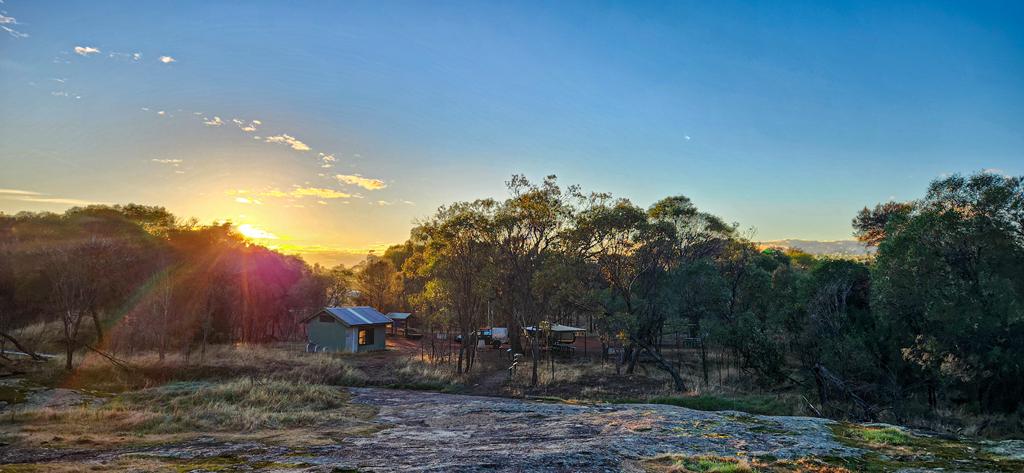
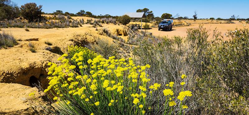
Lake Dumbleyung is the main attraction in the town that shares its name. It’s the largest natural inland lake in Western Australia, and its water levels shift dramatically depending on seasonal rainfall. Because the lake is so vast, its depth varies too. Some sections remain as salty flats, while others hold substantial water. In good years, the lake can reach depths of around 4.5 metres. Fittingly, the name Dumbleyung comes from the Aboriginal word dambeling, meaning “large lake”.
Today, most of Lake Dumbleyung is protected as a nature reserve, supporting local wildlife. When water levels allow, parts of the lake are also used for recreational activities. Visitors will find excellent picnic facilities, including toilets, tables, and non‑drinking water. Camping isn’t permitted, but it’s a lovely spot to stop for a picnic.
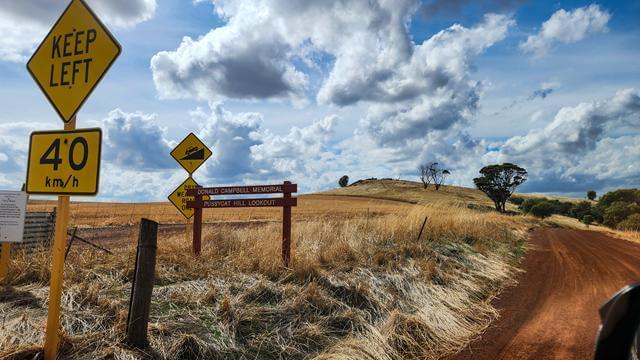
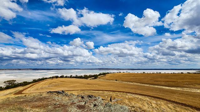
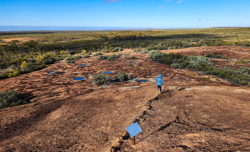
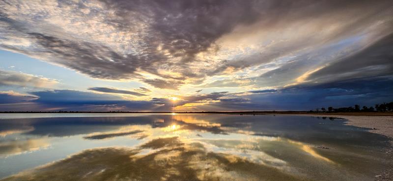
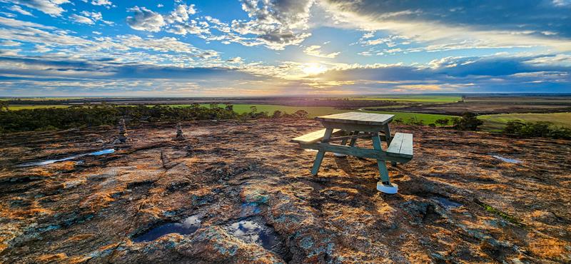
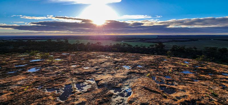
While the picnic area sits at the lower end of the driveway, a short climb leads to Pussy Cat Hill Lookout and the Donald Campbell Memorial.
From the top, you’re rewarded with sweeping views across the lake and surrounding landscape.
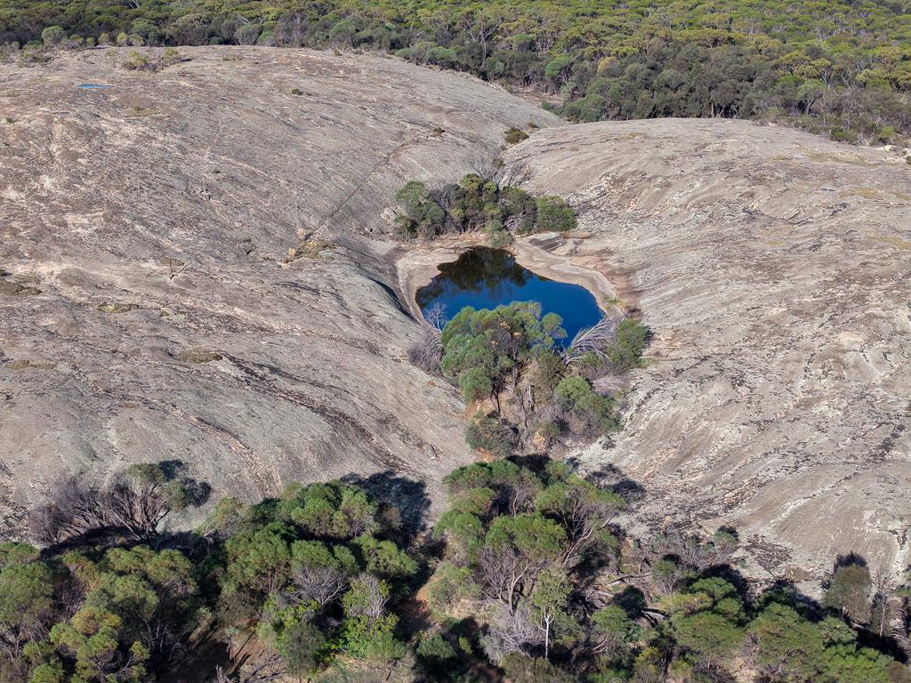
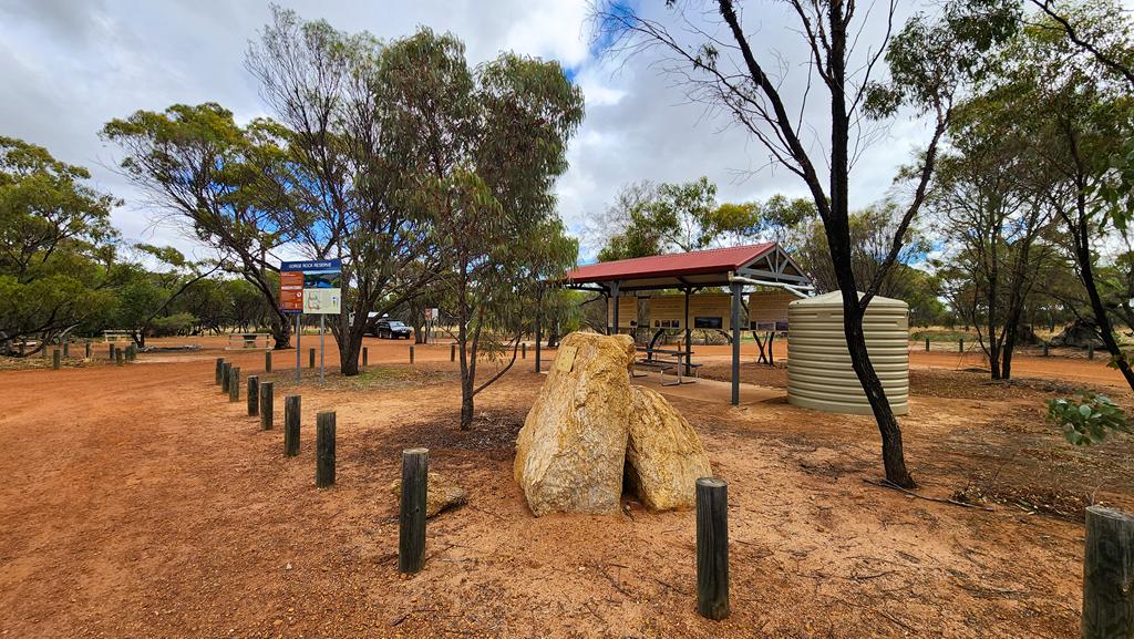
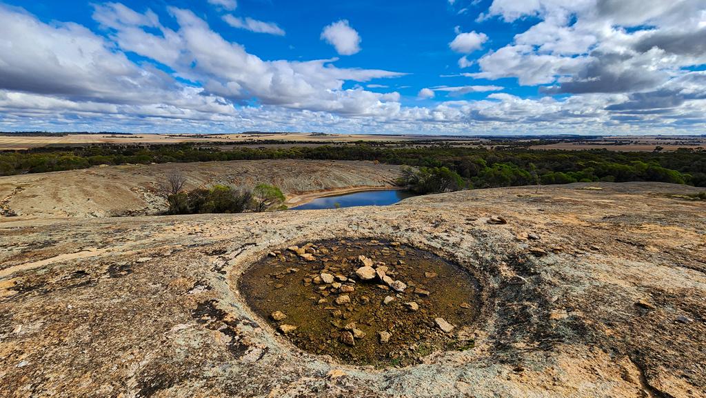
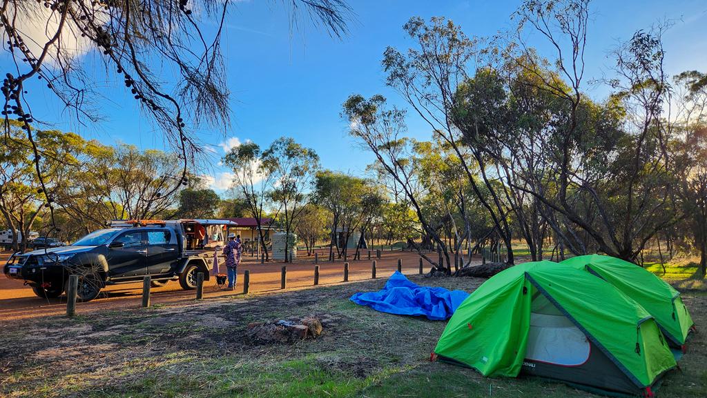
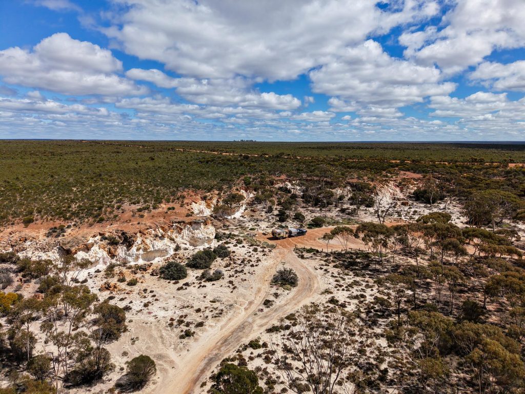
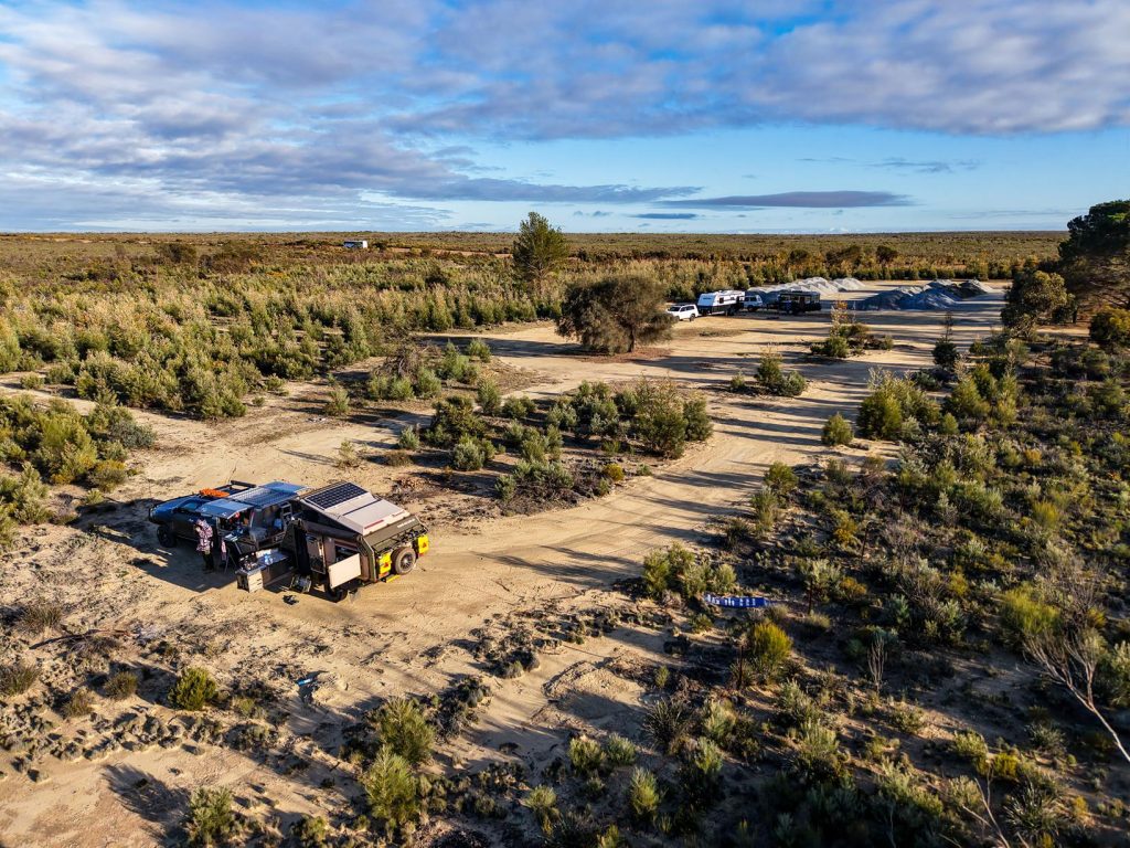
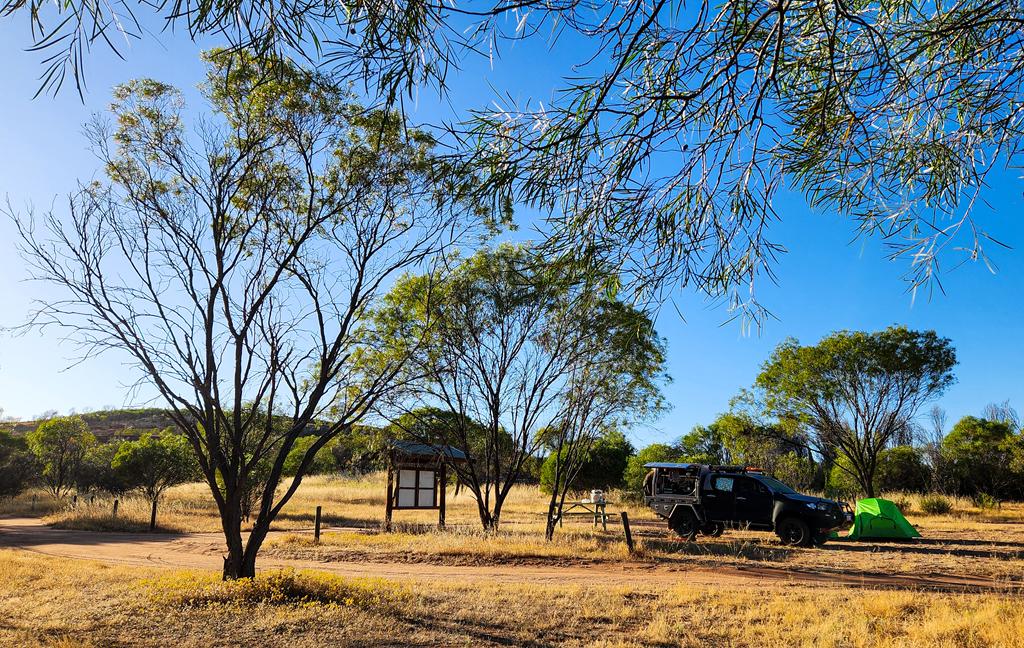
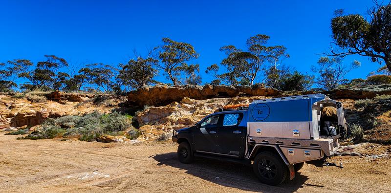
Gorge Rock Reserve is a peaceful spot with free camping and a pleasant picnic area, 20 km east of Corrigin in the Central Wheatbelt. Facilities include a clean drop toilet, shelter, non-drinking water and picnic tables.
The actual Gorge Rock sits a short distance from the campground. The rock forms part of a dam that once served as the local swimming pool, before the Olympic‑size pool was built in Corrigin. That pool was built by local farmers, was drained every year, allowing winter rain to fill it up again. Locals still fondly and proudly tell visitors stories of the old days. The information boards tell the history of the place too. You can’t swim in the dam today, but it’s a lovely place for a walk, with tracks leading around and over the rock.
Gorge Rock Reserve makes an easy, comfortable overnight stop — or a longer stay if you want to explore more of the surrounding area.
Nearby attractions
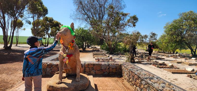
Corrigin Dog Cemetery
Corrigin Dog Cemetery is one of the Wheatbelt’s most unique roadside attractions. It honours generations of beloved working dogs and draws visitors travelling through Corrigin. You will find it just 5 km west of town.
Corrigin Wildflower Drive
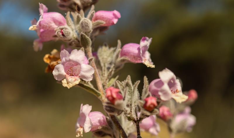
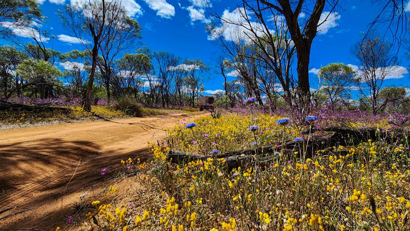
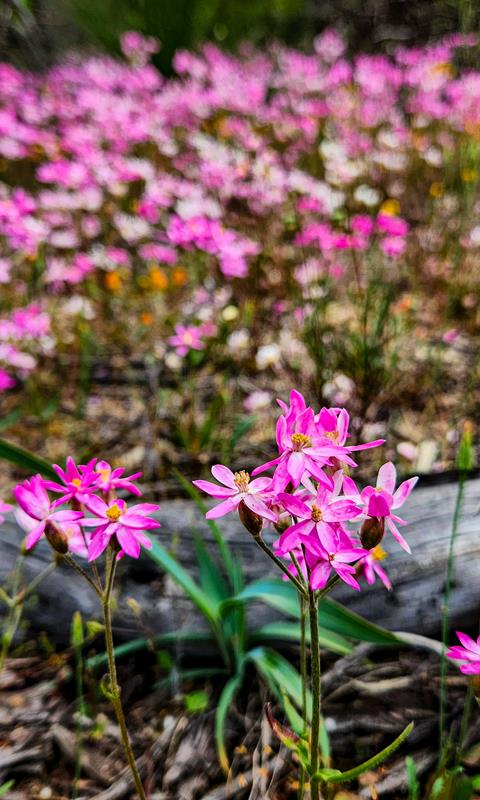
Corrigin Wildflower Drive is a 4 km self‑drive loop that begins opposite the Dog Cemetery. It’s a little paradise for wildflower lovers and anyone who enjoys wandering through nature. Something is always in bloom here, no matter the season, though spring is when the whole landscape truly erupts in colour.
Granite and Woodlands Discovery Trail is a 300km unsealed road that links Hyden and Norseman. It features 16 interpretive sites with walking trails, picnic and camping areas. As you drive along this scenic route, you will see how the scenery changes from section to section – from low heath, to shrubs, to eucalyptus woodlands.
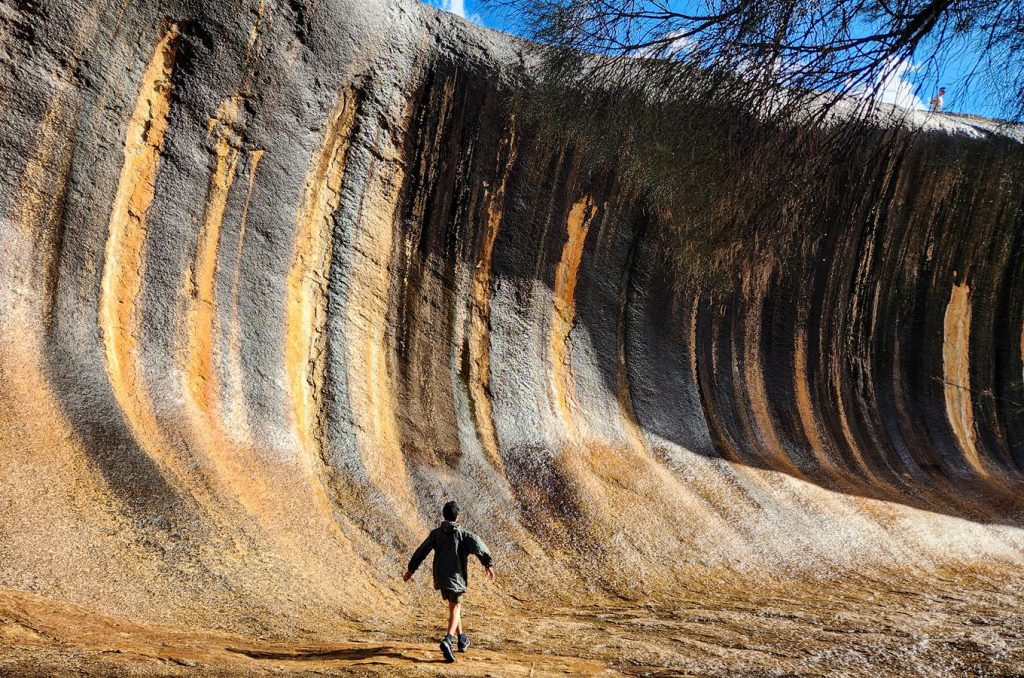
Starting at Hyden
Our journey began in Hyden, where a visit to the iconic Wave Rock felt like a rite of passage. Though we’d been before, it was the first time for our children. It was a moment of shared wonder beneath the ancient wave-shaped granite.
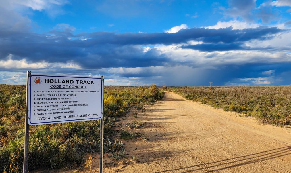
Holland Track Intersection
Our first stop along the Granite and Woodlands Discovery Trail was the Holland Track intersection.
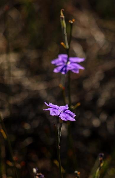
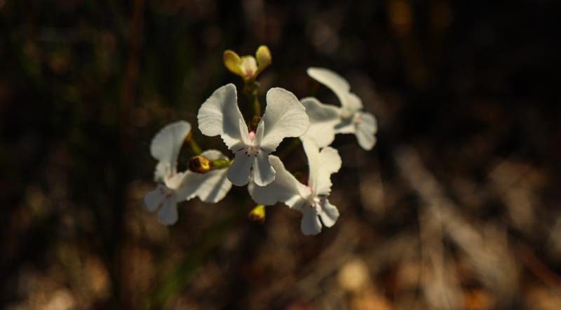
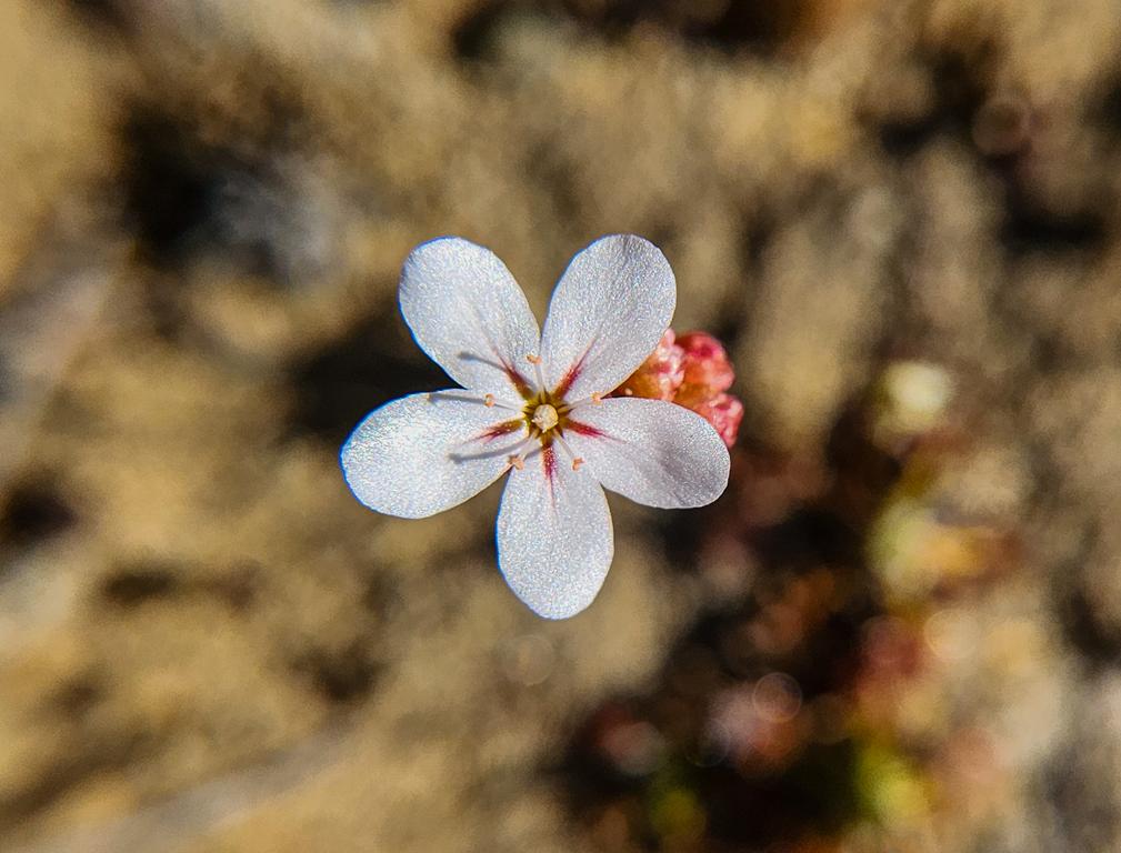
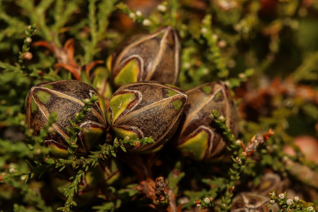
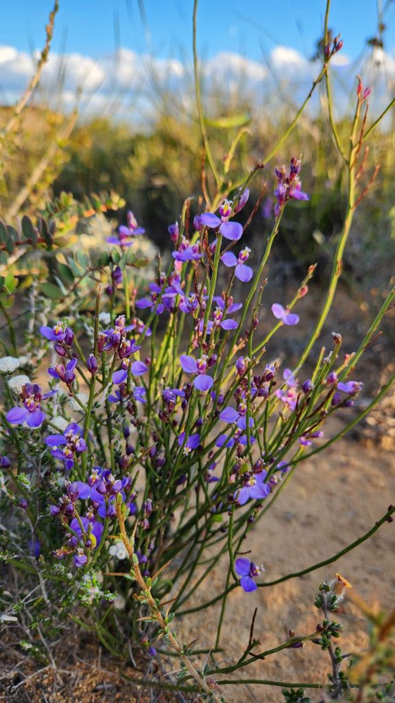
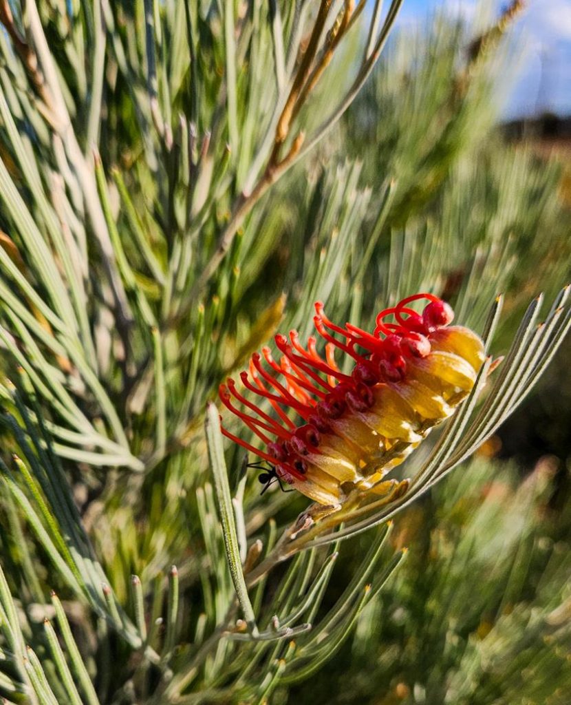
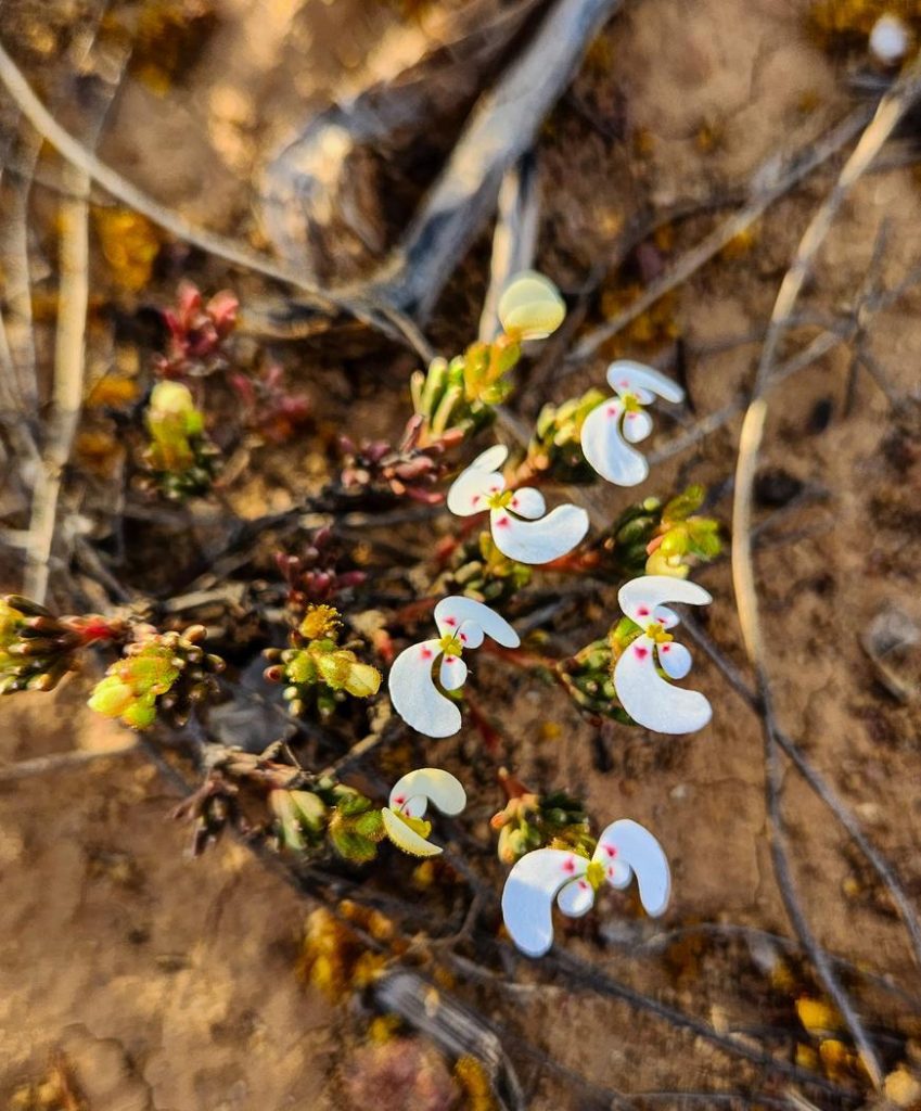
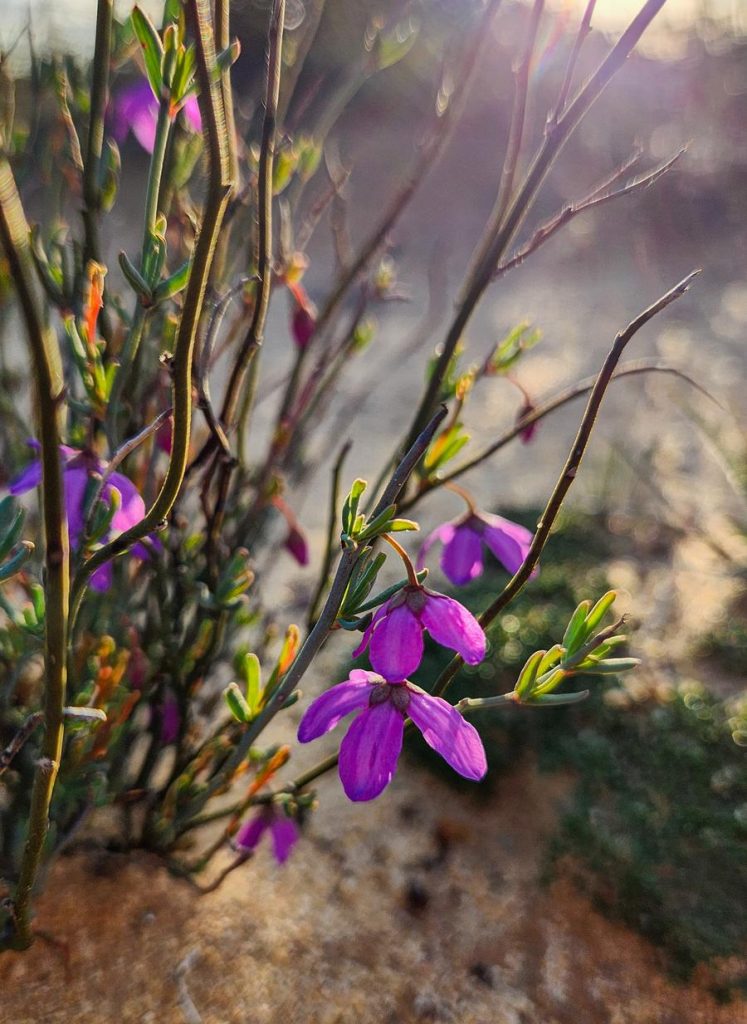
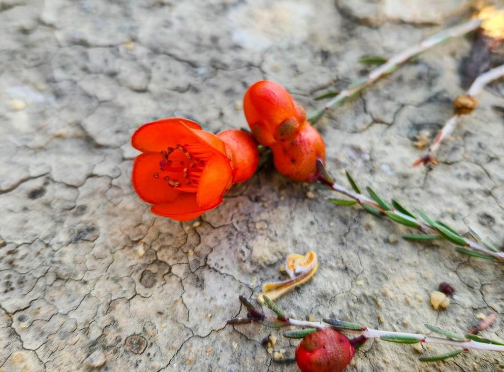
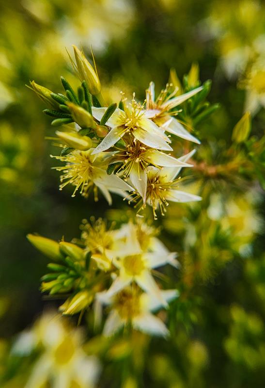
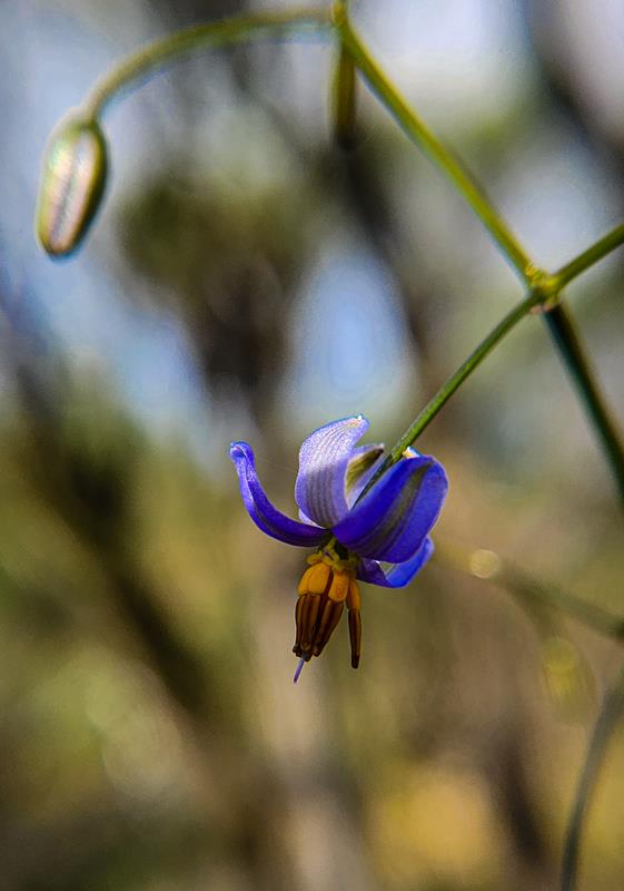
Originally, we’d planned to drive the Holland Track itself, but towing a caravan—even a small off-road one—proved impractical. The entry looked deceptively smooth, but we knew the track beyond was riddled with deep washouts. Instead, we lingered at the interpretive sign, absorbing the history and admiring the wildflowers. What a delicate bursts of colour against the rugged terrain.
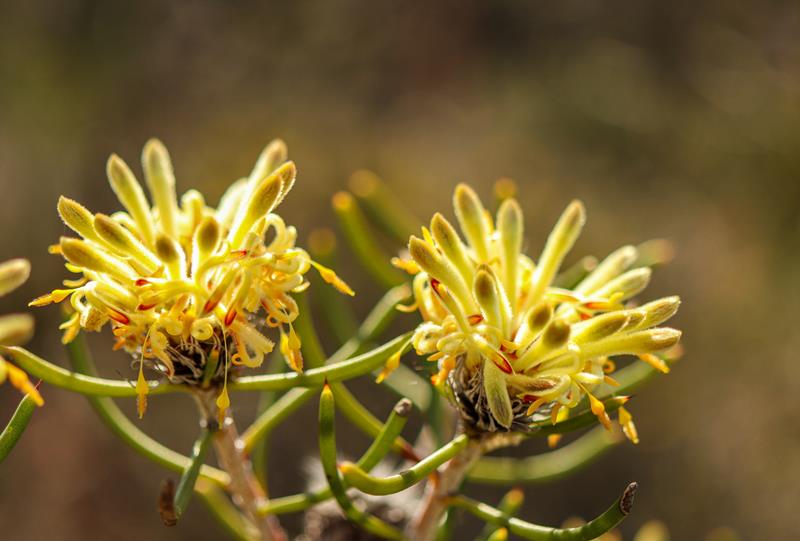
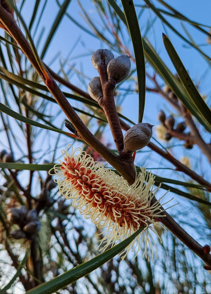
Grevillea excelsior (Flame Grevillea) stood tall and radiant (below left). Striking Hakea francisiana (Emu Tree) was also fascinating to see (below right).
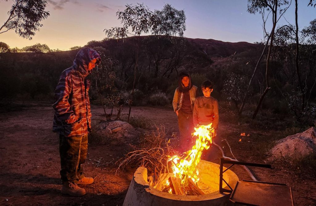
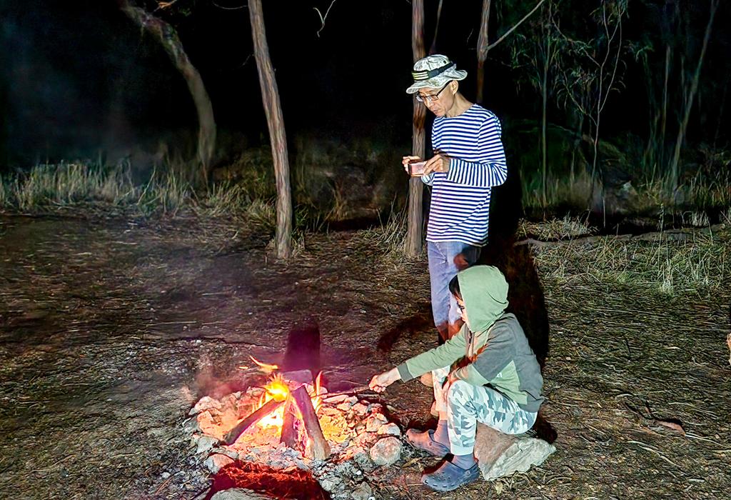
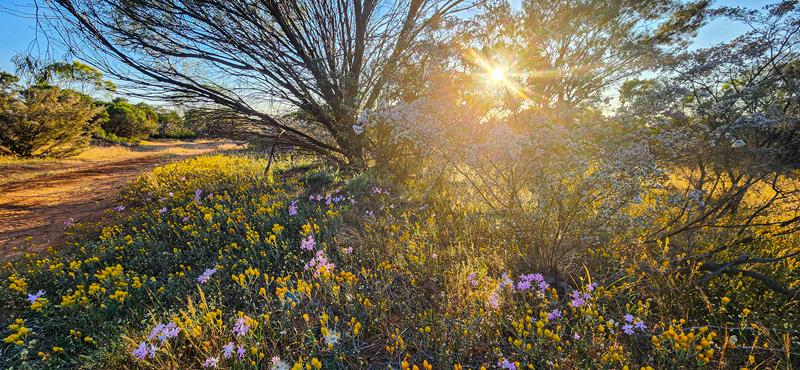
We watched the sun dip below the horizon, its golden light filtering through the foliage, then gathered around a campfire under the stars.
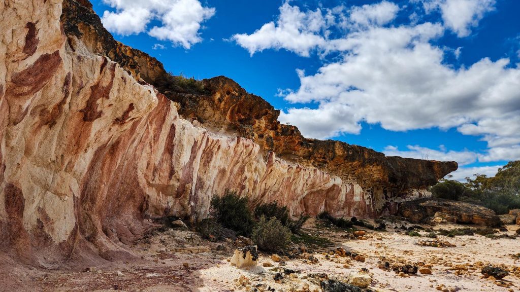
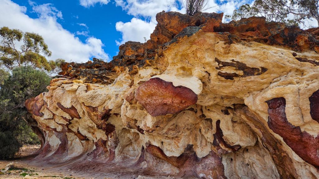
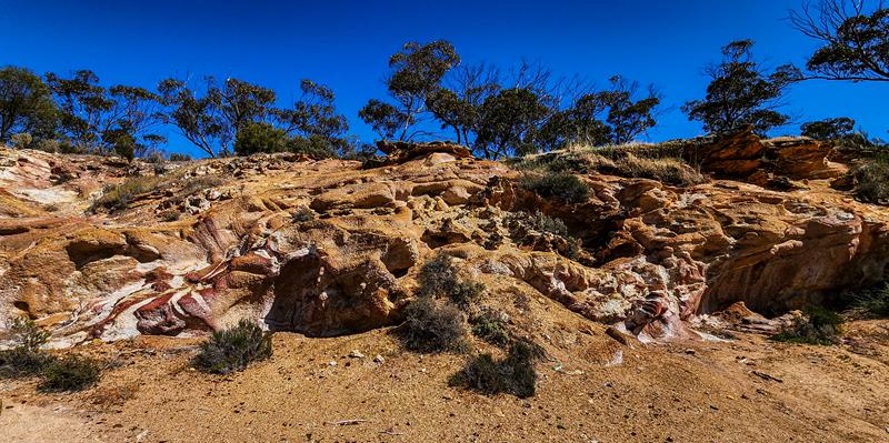
The Breakaways
Perhaps the most picturesque stop along the trail, The Breakaways offered a sense of peace and timelessness. The rock formations here are captivating—layered with colour, texture, and quiet mystery. We wandered for hours, tracing the contours of the land and soaking in its stillness.
The site is well-equipped, with a spacious picnic and camping area, tables, fire rings, and a toilet. Though tempted to stay, we chose to continue our journey, carrying the calm of The Breakaways with us.
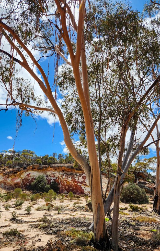
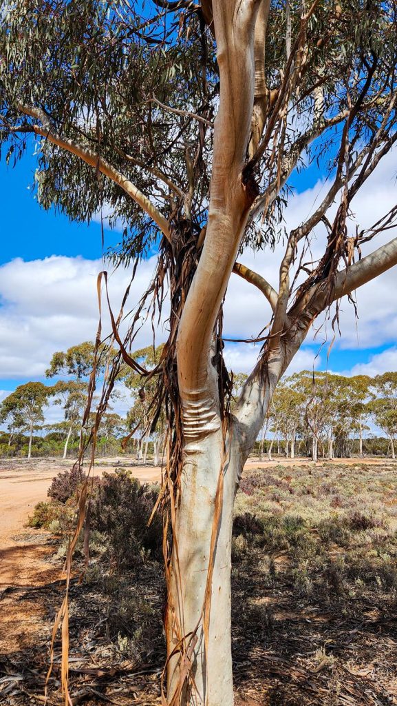
Eucalyptus vittata (ribbon mallet) is a unique eucalyptus tree that sheds its bark in long ribbons that sway gracefully in the wind, composing a soothing bush melody.
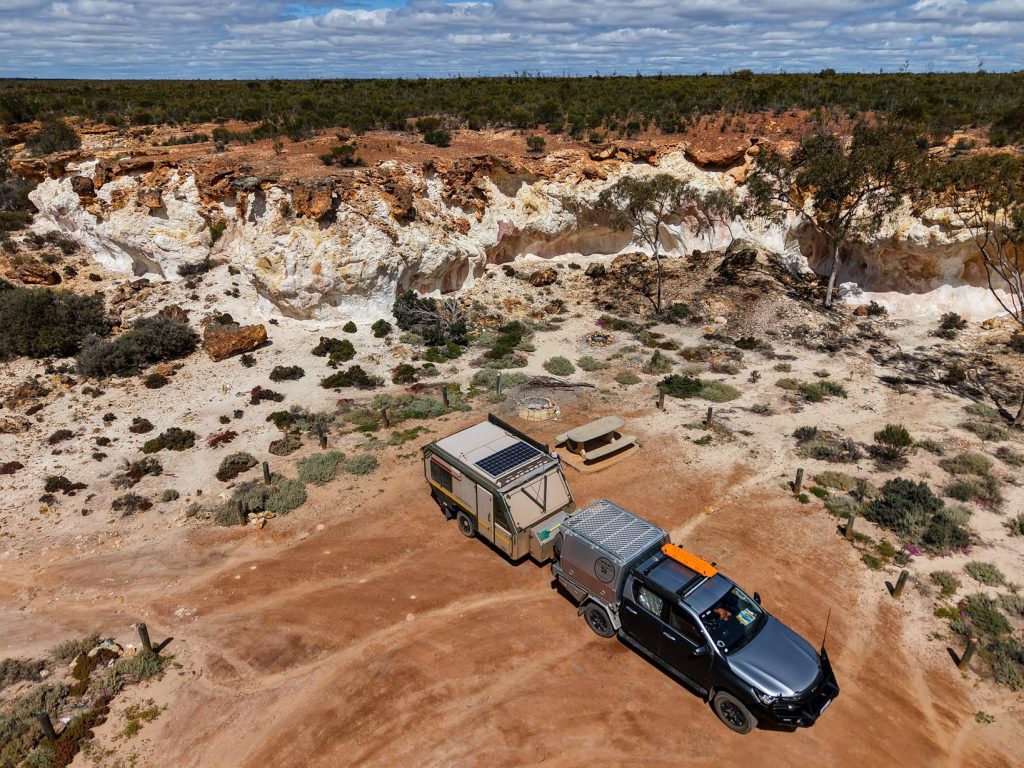
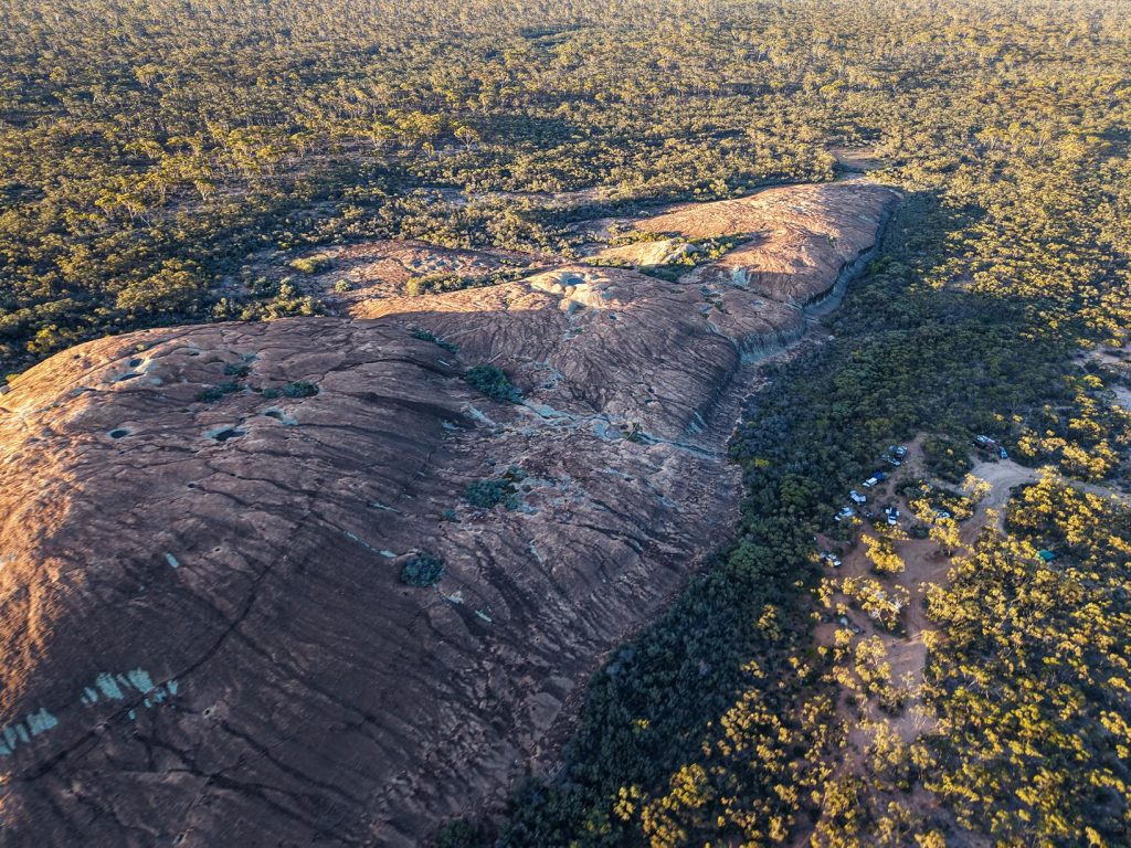
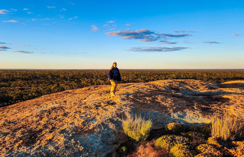
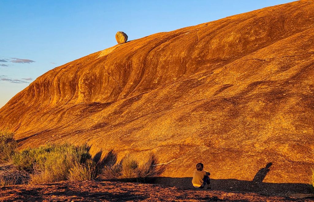
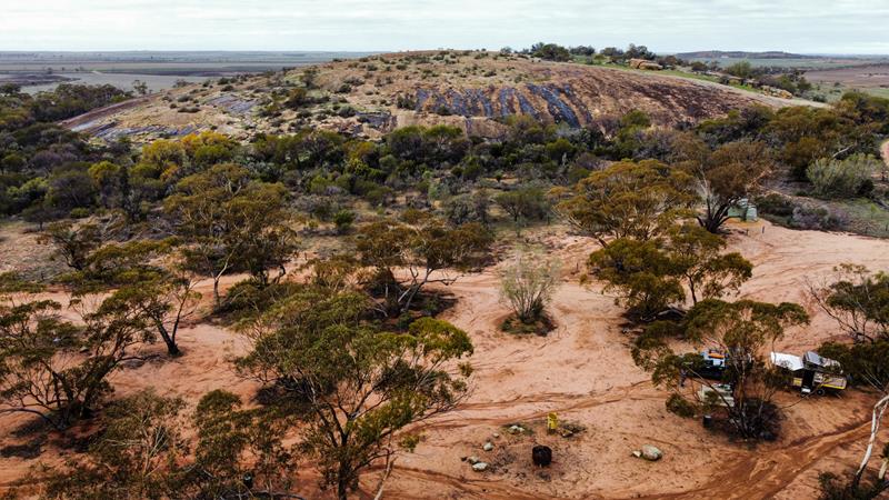
McDermid Rock
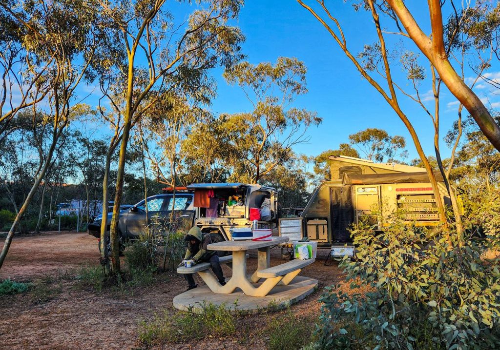
Our second stop along the Granite and Woodlands Discovery Trail (Hyden–Norseman Road) was McDermid Rock, site #9 on the trail. This striking granite outcrop is a wonderful place to pause—whether for a wander, a picnic, or an overnight stay.
The site is well-equipped with a toilet, picnic tables, and fire rings, making it both scenic and practical.
You can climb McDermid Rock and explore the surrounding area via a 1,271-meter interpretive trail. The walk begins with a steep ascent but soon levels out into an easy and enjoyable loop, dotted with informative signs that highlight the area’s natural and cultural history.
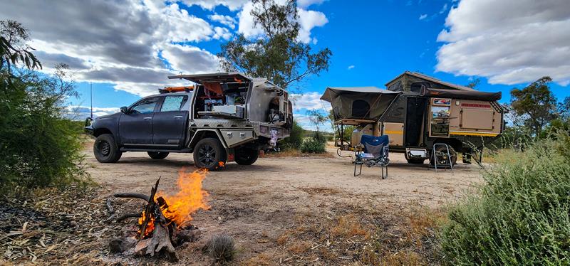
We camped there during the September school holidays, and while it was a popular spot, we arrived early enough to secure a great site. We loved our time at McDermid Rock—scrambling over the granite, soaking in the views, and gathering around a campfire under the stars.
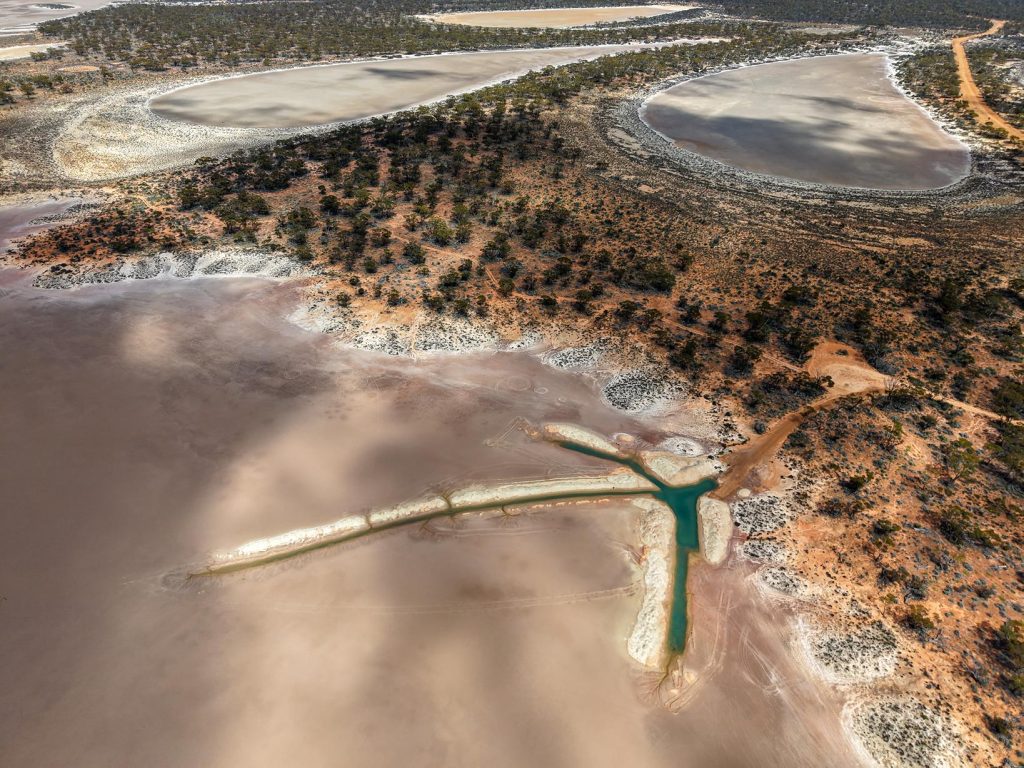
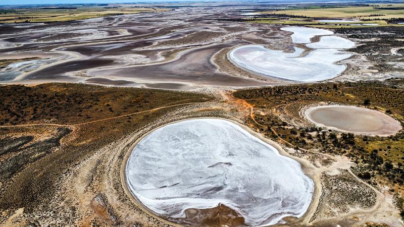
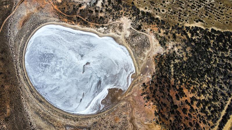
Lake Johnston
Lake Johnston is site #10 on the Granite and Woodlands Discovery Trail. It is a striking salt lake.
This tranquil spot offers a small but welcoming area for picnicking or camping, complete with a toilet and picnic table. It’s an ideal place to pause, take in the expansive views, and enjoy the serenity of the landscape.
Disappointment Rock
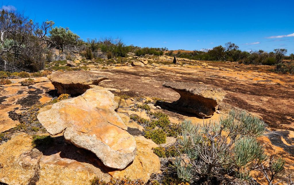
Our journey along the Granite and Woodlands Discovery Trail concluded at Disappointment Rock. Though there are no facilities here, the area features a scenic 1.9-kilometre hiking trail that traverses the rock and includes 17 interpretive signs offering insights into the local geology and ecology.
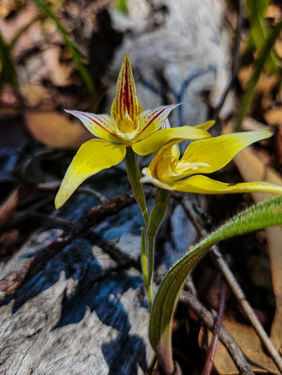
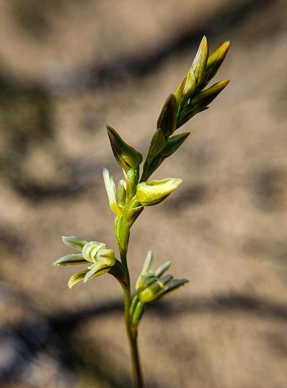
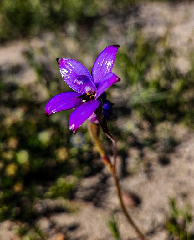
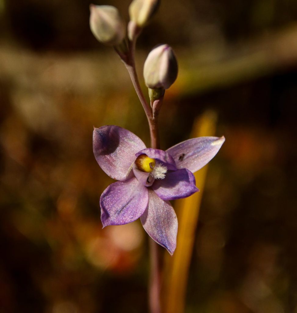
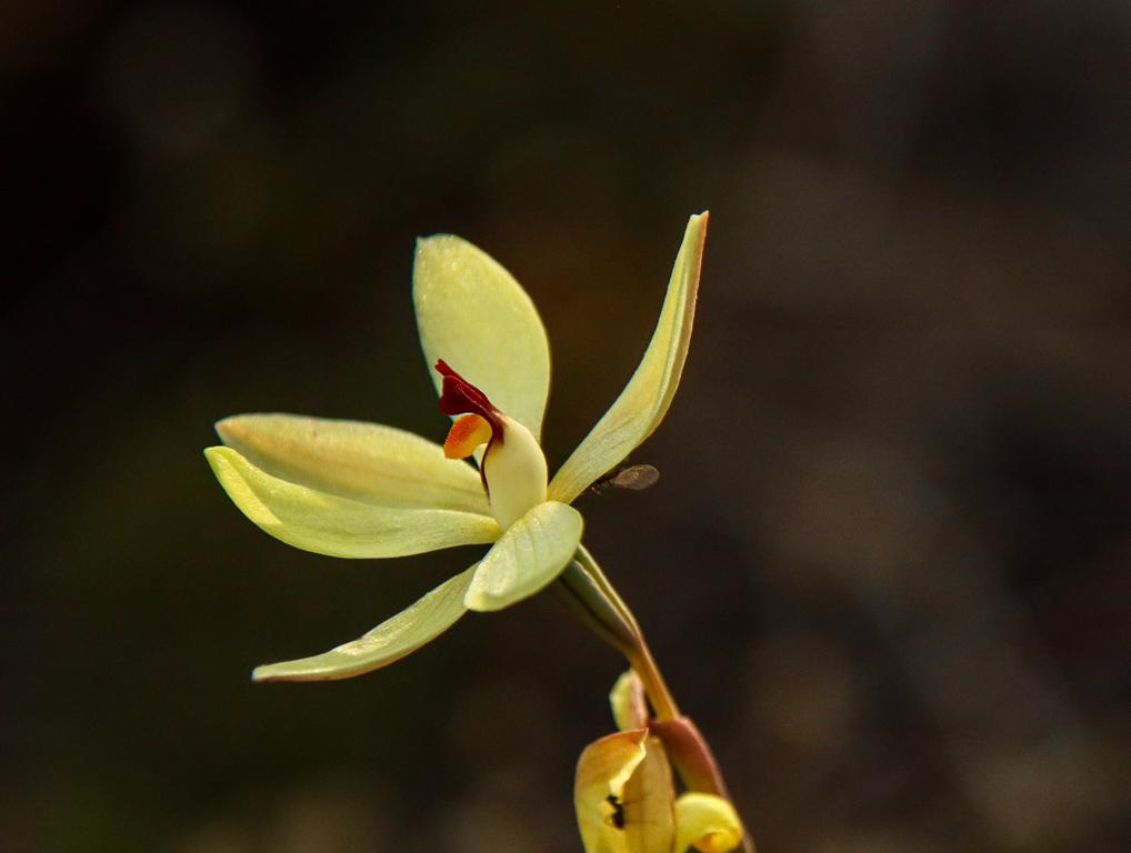
We didn’t have time to complete the full walk, as my main focus was spotting an open granite sun orchid (Thelymitra petrophila). After encountering many closed blooms, it was a true delight to find one fully open—thanks to the keen eyes of my youngest son.
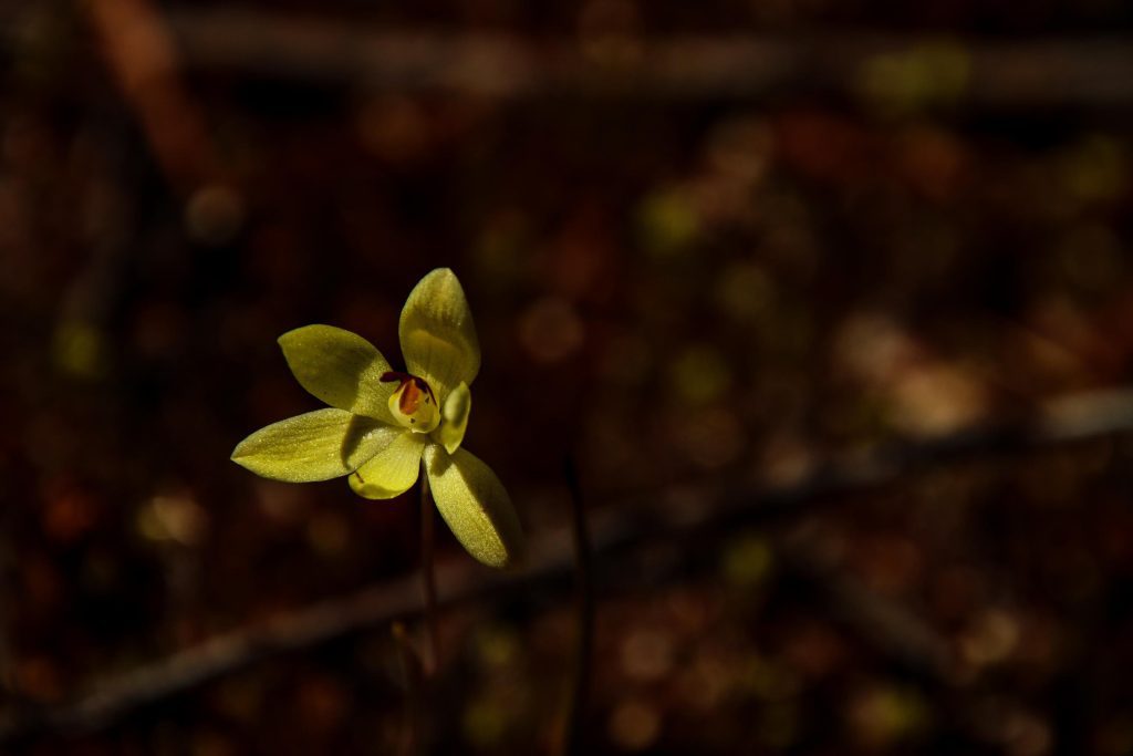
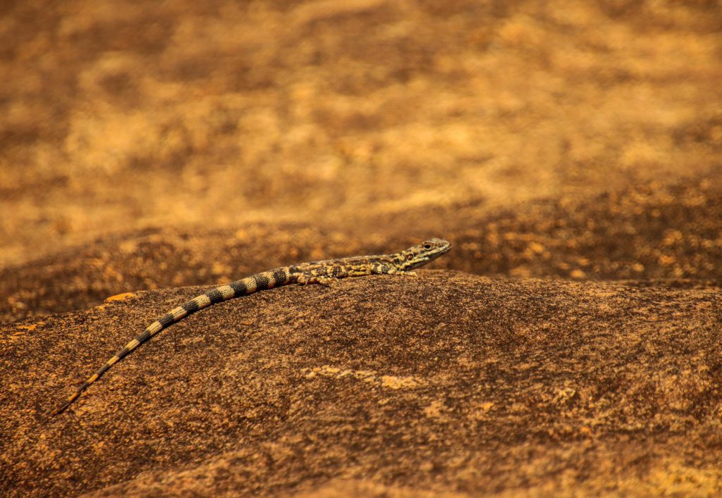
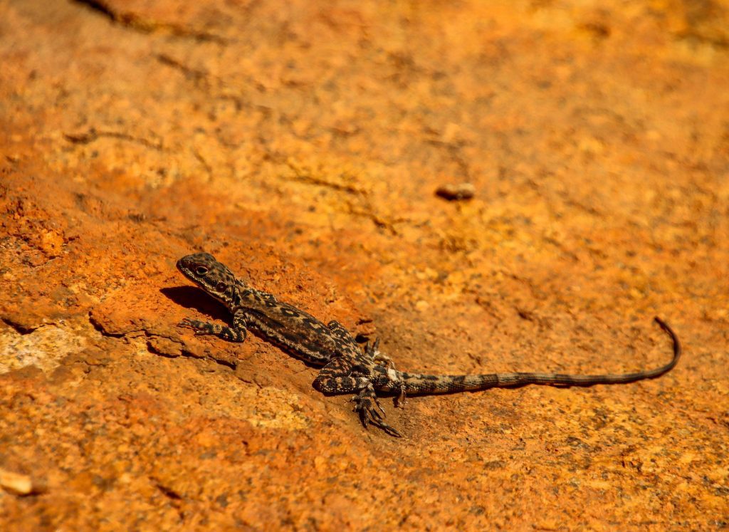
Along the way, we also spotted a few lemon-scented sun orchids (Thelymitra antennifera) and were treated to the sight of numerous Ornate Crevice-Dragon lizards basking in the sun.
Ornate Crevice-Dragon lizards were abundant at Disappointment Rock (below).
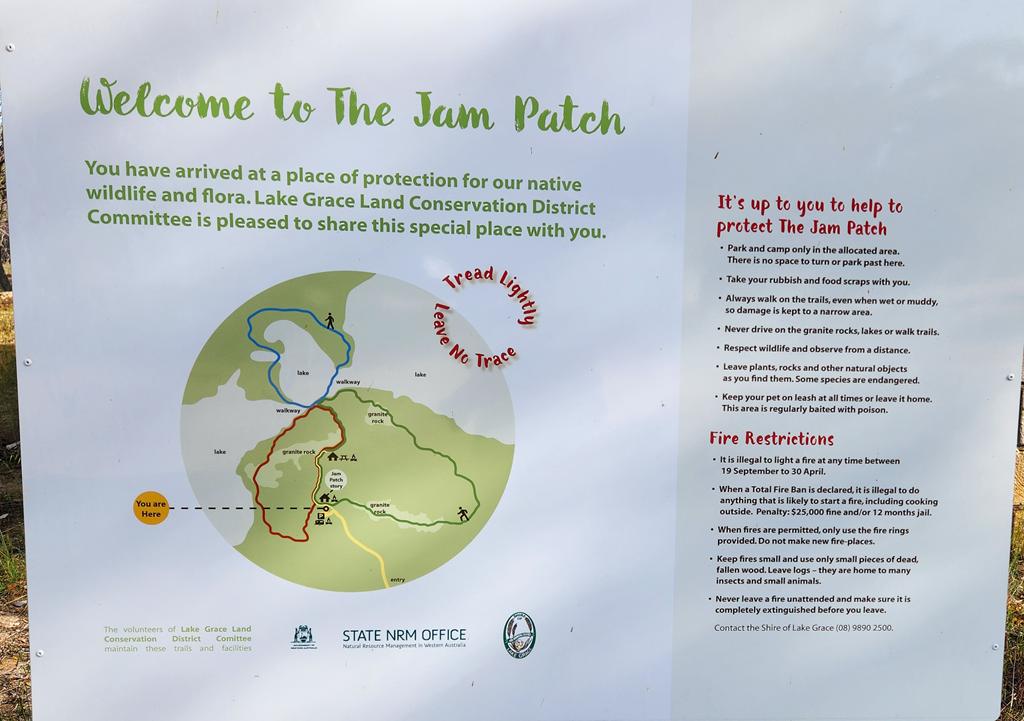
The Jam Patch is a large bushland reserve in North Lake Grace in the southern Wheatbelt, named for its many Jam Trees (Acacia acuminata). This protected area is a haven for native flora and fauna, lovingly cared for by volunteers from the Lake Grace Land Conservation District Committee.
Picnic and free camping area
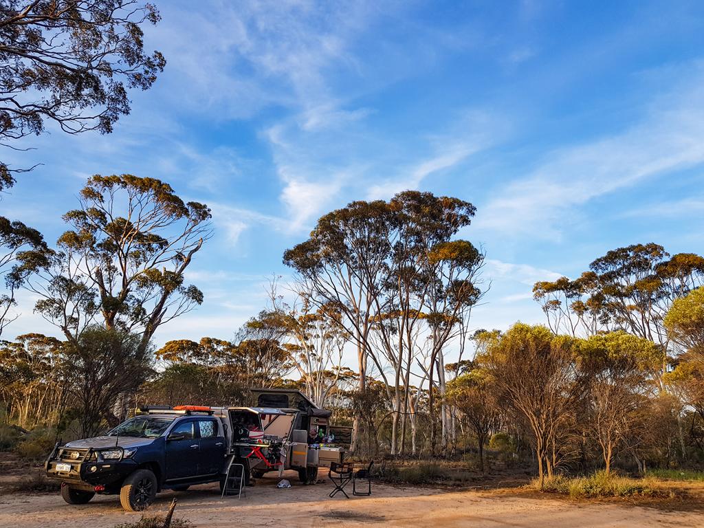
Near the entrance, there’s a designated camping area for caravans. It’s simple and free, with no facilities apart from toilets—which, unfortunately, were unusable during our visit in early October 2025 due to lack of maintenance. Further into the reserve, the picnic area offers tables and barbecues. While it’s unclear whether camping is officially permitted there, we did see a few people sleeping in swags. The camping area itself is modest in size and was fairly busy, but we managed to find a spot. Despite the limited amenities, it’s a peaceful place to spend a night or two, surrounded by bushland and birdsong.
Bush walks and wildflowers at the Jam Patch
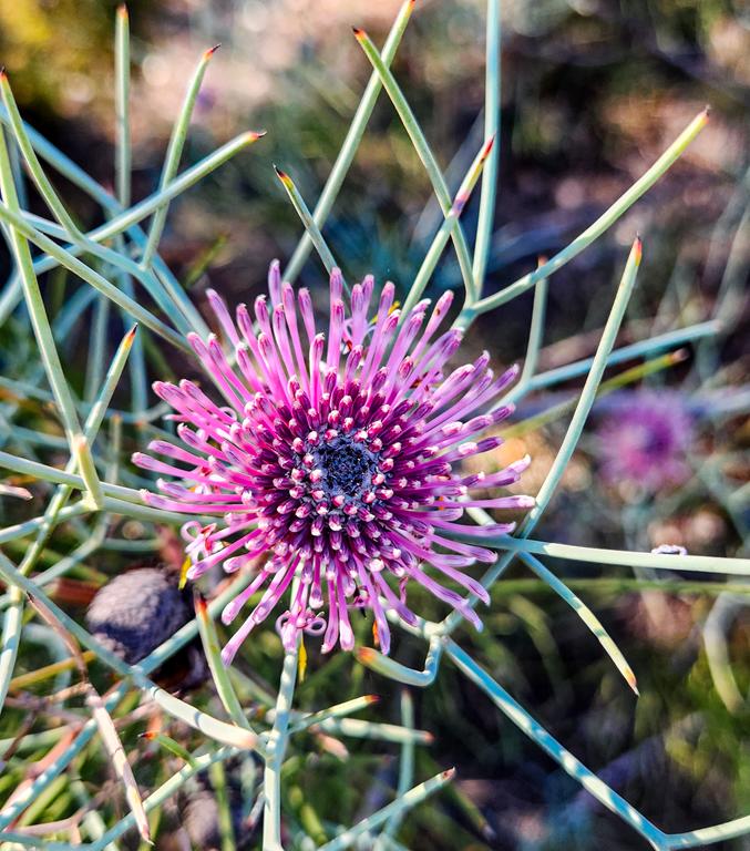
The Jam Patch features several walking trails with interpretive signs. Two trails loop around flat granite outcrops, while a third traces the edge of a salt lake. These walks offer quiet immersion in nature and glimpses of wildflowers along the way.
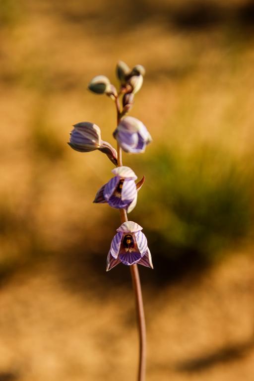
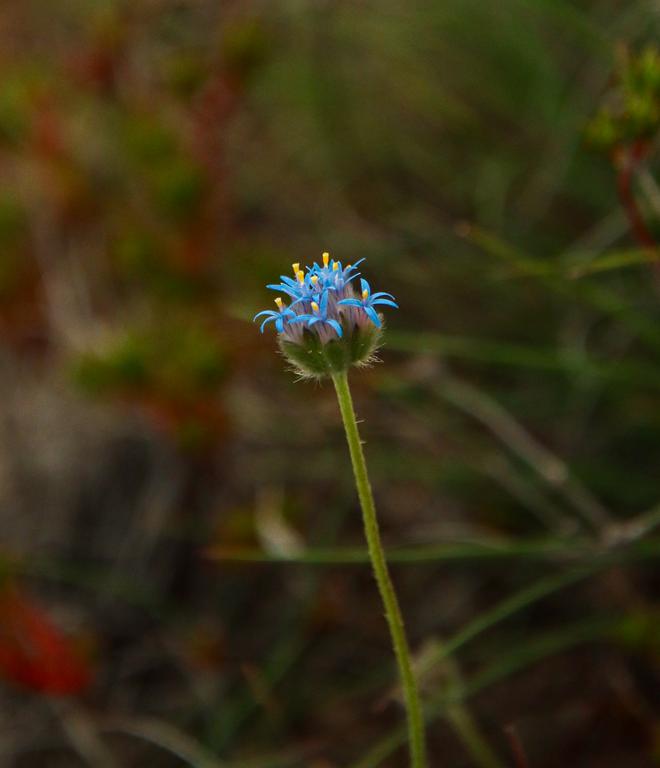
Although we arrived a little late for peak bloom—donkeys and cowslips had already finished flowering—we were still treated to the delicate beauty of lemon-scented sun orchids, little laughing orchids, and granite sun orchid.
Even with fewer flowers, the walks were serene and restorative, offering solitude and a deep sense of connection to the land.
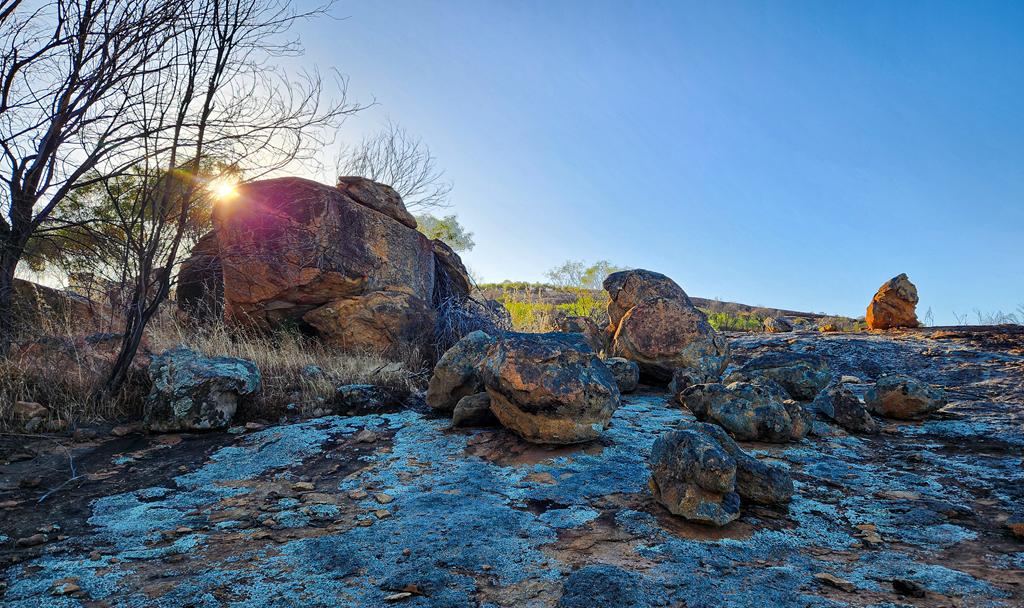
Talgomine Reserve is a large picturesque area around the rock, 12 km east of Nungarin in the Сentral Wheatbelt. Talgomine rock was ‘originally named Mount Moore’. In the 19 century the place was used as a stopping place for travellers and stock passing through the area. The reserve became an important watering place. Particularly, it served as a community sheep dip to treat skin infection of animals.
Facilities
There is a free campground at the base of a rock. Facilities at Talgomine Reserve include a picnic table and a long drop toilet, as well as bins. We enjoyed having the place all to ourselves for the night. It turned out to be a much nicer and cozier place than Danberrin Rock where we stopped initially but had to leave due to ants’ infestation.
Nice walks and nature at Talgomine Reserve
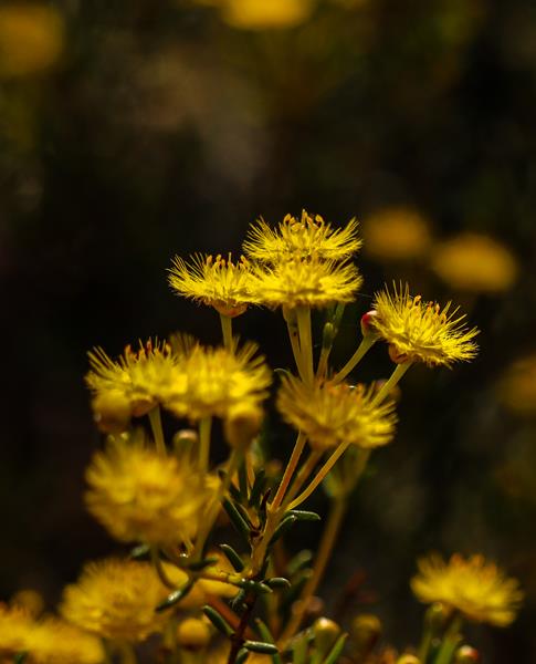
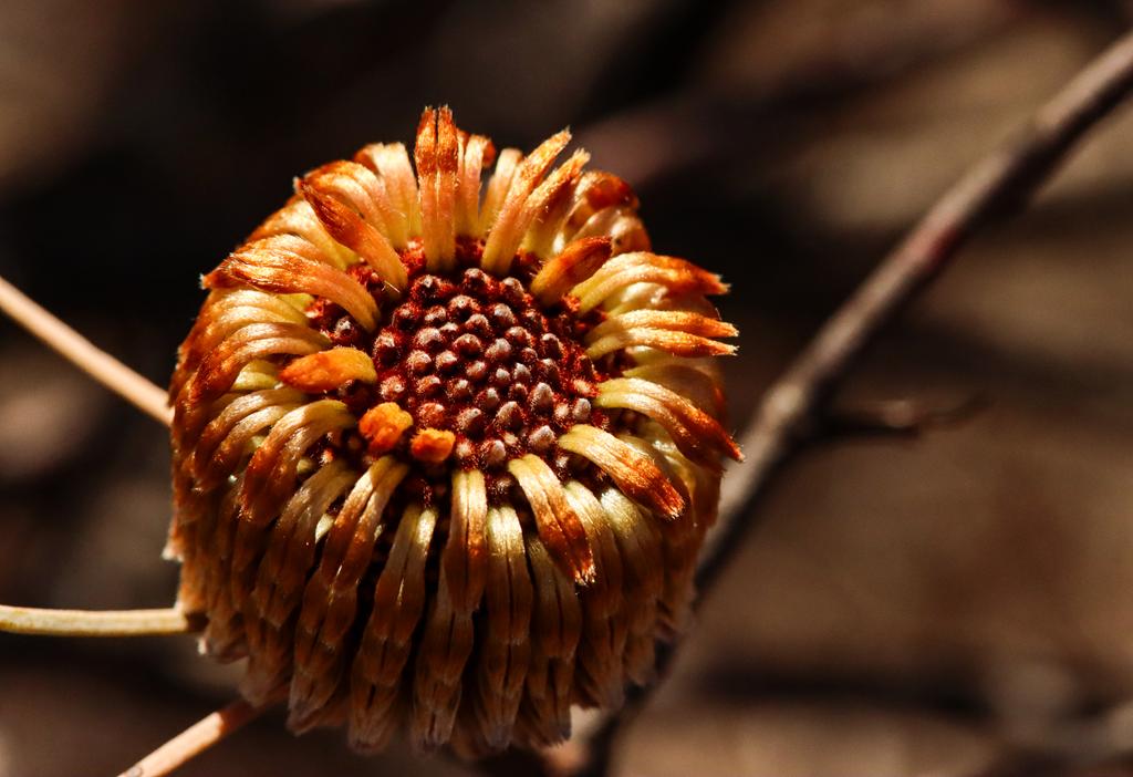
In the morning, I wandered through the area, climbing over granite outcrops and circling the boulders. Just a few weeks ago, this place would have been ablaze with wildflowers—especially everlastings. Now, only the orange immortelle (Waitzia acuminata) remained, still flowering but past its prime. Aside from that, little else was in bloom.
Yet the landscape held its own quiet beauty. The granite shimmered softly in the morning light, birds chirped cheerfully in the stillness, and a sense of peace settled over everything. We felt grateful to have spent the night here, far from the buzz and bustle of city life—a gentle pause in nature’s embrace.
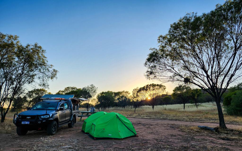
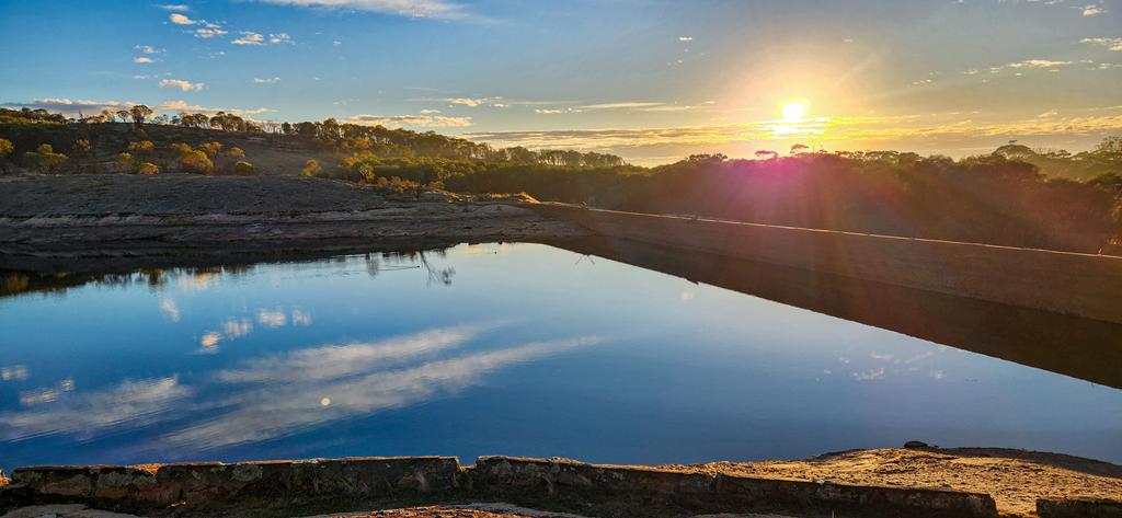
Toapin Weir is a great picnic and free camping spot near the dam in the Central Wheatbelt. It is located 8km north of Quairading and is easily accessible. Built in 1912, Toapin Weir is the largest privately constructed water storage scheme in WA. It is still used to supply water to Quairading and surrounding area. It is also a popular recreational site.
Picnic and camping at Toapin Weir
The picnic area near the dam has a few picnic tables, shelters, flushing toilet, drinking water, electric bbqs, rubbish bins and fire pits. There is also a larger camping area, suitable for big rigs and large caravans a short walking distance from the dam.
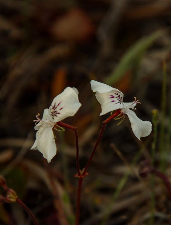
Interpretive signs, benches, and small stairs make the dam even more accessible and attractive for easy exploration. You can climb onto the granite rock, where the dam is. Or you can take a circular walking trail around the weir. A few different varieties of wildflowers can be found in spring, including some orchids.
We stayed at Toapin Weir over the June long weekend for a couple of nights. It was a busy place, but we had our quiet spot closer to the dam. We enjoyed the campfire, beautiful sunset and exploring the area.
Nookaminnie Rock Nature Reserve
Located 3km west of Quairading town in the Central Wheatbelt, Nookaminnie Rock Nature Reserve is a great hiking place for nature enthusiasts. The highlight of the reserve would be the Nookaminnie Rock. Unfortunately, due to time constraints, we didn’t get to the rock – it is a 6km return walk. Instead, we took a shorter Nookaminnie Creek walk.
Not much was flowering early June. But the gum trees looked quite majestic, especially lit by the rays of the setting sun. Wandoo, Salmon gums and York gums dominate the reserve. The walks trails are easy and are clearly marked.
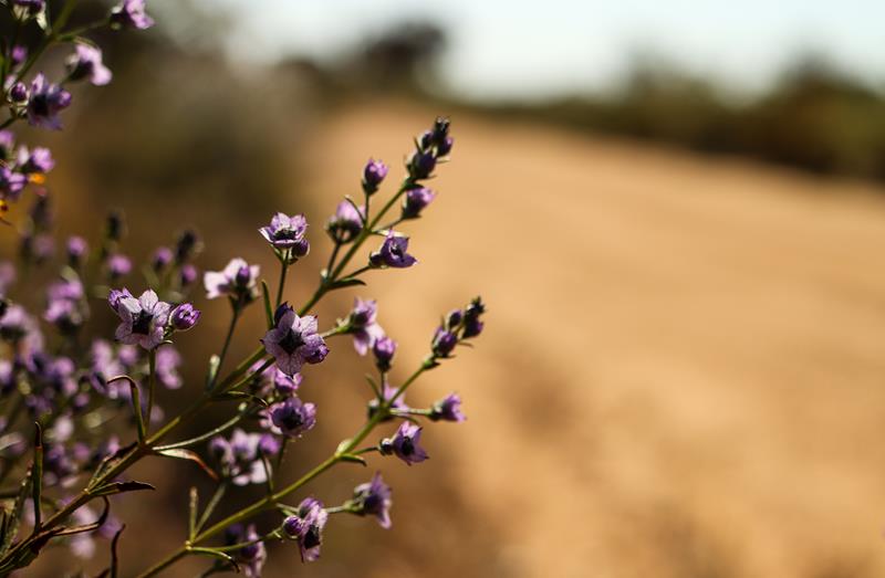
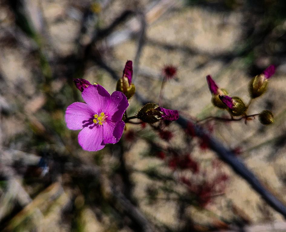
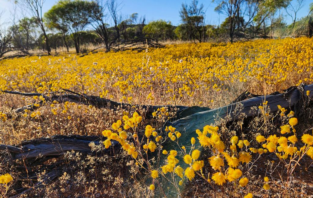
Datjoin Rock and Well Reserve, 18km east of Beacon in North East Wheatbelt is a natural attraction, a popular picnic and free camping spot. It is home to some interesting rock formations which are quite picturesque. During the months of spring the reserve is full of beautiful wildflowers. At the time we visited, there were mostly everlastings. Orchids do grow there too, but they finished blooming earlier, and we missed them by a couple of weeks or so (we visited this place end of September). Datjoin Rock is part of Wheatbelt Way self-drive.
Camping is allowed at the Datjoin Rock Reserve, near the well. There are no facilities, so you would need to be self-sufficient and take all rubbish with you. As with most Wheatbelt places, cooler months are the best for camping. During the months of April and September you can have camp fire there.
Location
To get to Datjoin Rock reserve, travel from Beacon for 18km eastward on Burakin/Wialki road. There is a narrow track entrance on the left. This track is suitable for for 2WDs but it is too narrow for caravans. There is another entrance to the actual rock 2km further eastwards on Clark Road, on the left, at the top of the rise. This second area is a narrow 4WD track only. We found the main Datjoin Rock and well reserve to be picturesque enough. So, if you get lost looking for the second entrance to the actual rock, you won’t miss much, as the Rock reserve has everything you need, including camping area.
Mollerin Rock is a free camping and picnic area, 50km north of Koorda in North East Wheatbelt. It’s one of the attractions along Wheatbelt Way self-drive.
Mollerin Rock camp
Facilities are basic and include a long drop toilet with a tap for washing hands, 1 gazebo with a picnic table. There is plenty of space to accommodate various types of vehicles and set ups. The place is easily accessible to 2WD. The campground is at the base of Mollerin Rock, which is quite low in height and easy to walk on and around.
The views are wonderful from the top, especially at sunset. The best thing about Mollerin Rock is campfire at night during cooler months (between April and September) and wildflowers, mostly everlastings, during early spring.
We stayed at Mollerin Rock campground at the end of September. The wildflowers were past their prime time and many finished already but we still enjoyed the campfire and starry nights.
Attractions nearby:
Koorda Rose
Koorda is roughly 50km south of Mollerin Rock.
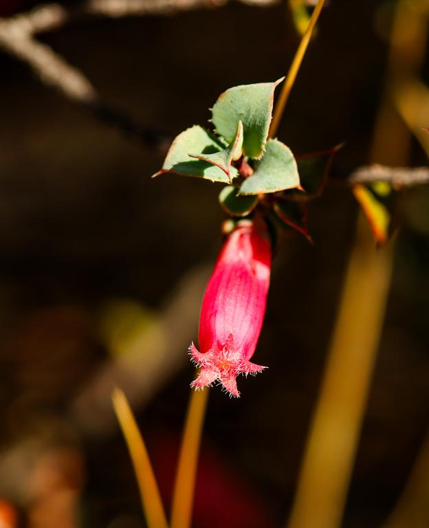
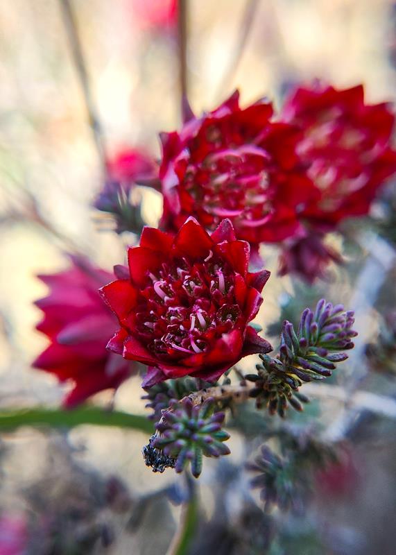
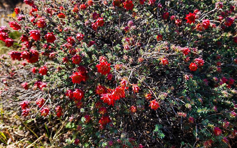
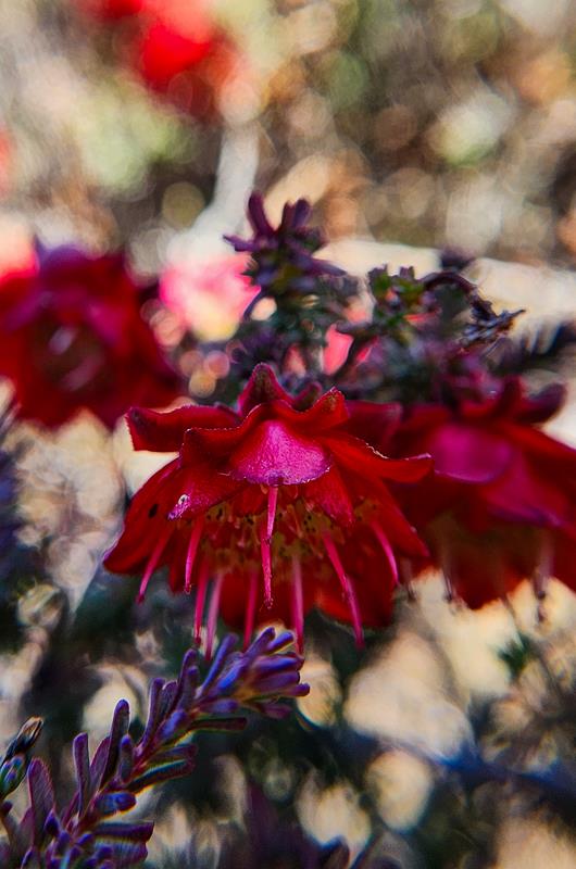
I planned a trip to Koorda to see the unique to the Wheatbelt region Koorda Rose (Darwinia purpurea). It is a very pretty bright red flowering plant, common in Koorda. It is found in abundance in Koorda Native Flora reserve, 15km north-east of town, on the Mulji Road.
Koorda Native Flora reserve also offers a free picnic and camping ground. The area is relatively big and open and suitable for all kinds of set ups and vehicles. There is a picnic table with shade, campfire ring and toilet. While we didn’t stay there, it looked like a nice camping spot for cooler months.
Koorda Motor and Military Museum
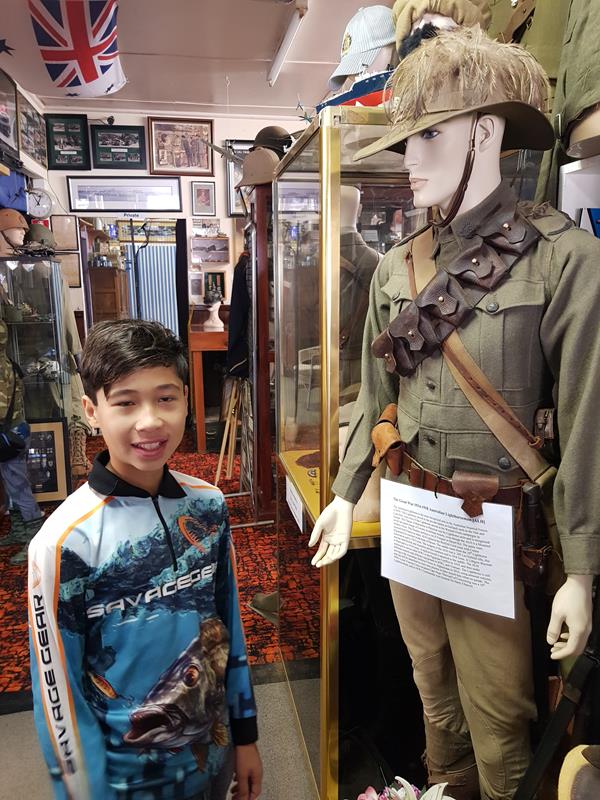
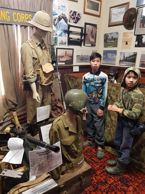
Another place we (our sons, in particular) enjoyed visiting was Koorda Motor and Military Museum. Although it is small and is open by appointment, it does have a few interesting things on display and is worth a visit.
Redcliffe
We love natural attractions and always visit them whenever we have a chance as we travel. Redcliffe was one such attraction. The uniqueness and attractiveness of this place comes from the contrast between the white salt lakes and the red granite outcrops. Redcliffe is located 5km off Koorda, at the end of Rifle Range road.
Moningarin Tank
Roughly half way between Koorda and Mollerin Rock, Moningarin Tank is a picturesque place to visit. Lots of wildflowers are blooming there during the spring.
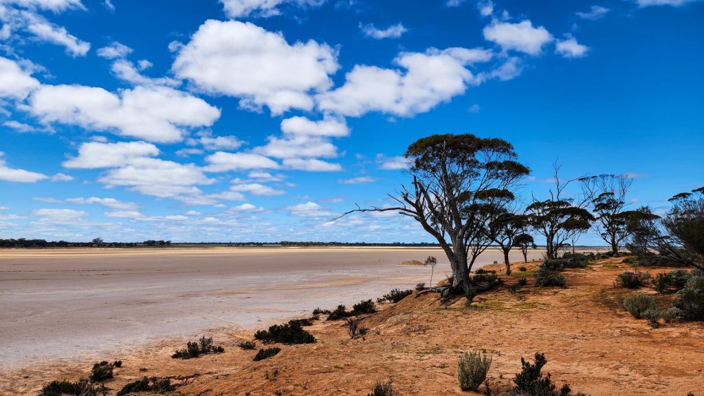
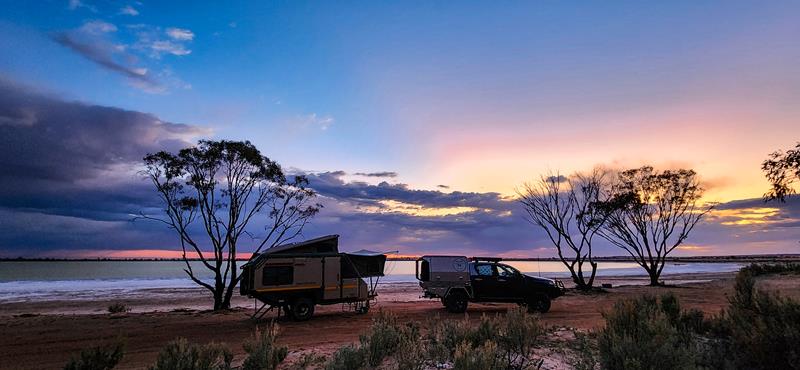
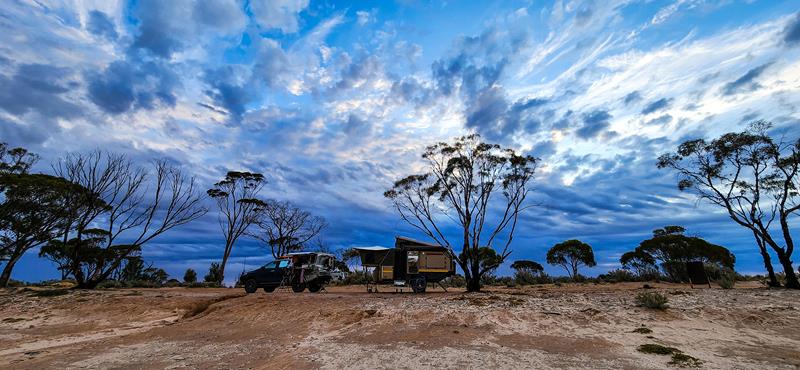
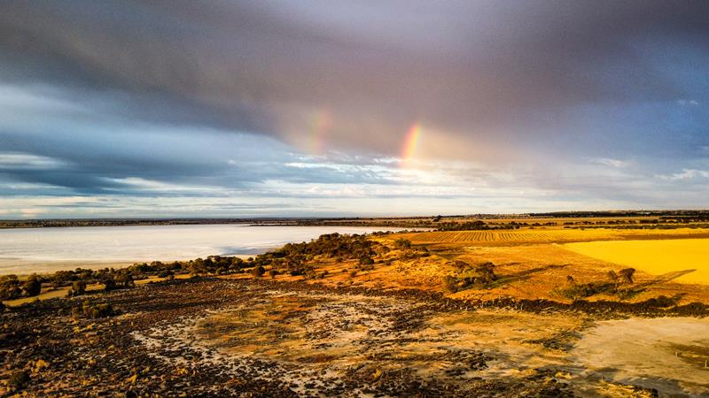
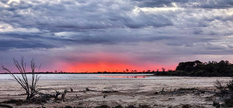
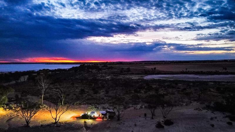
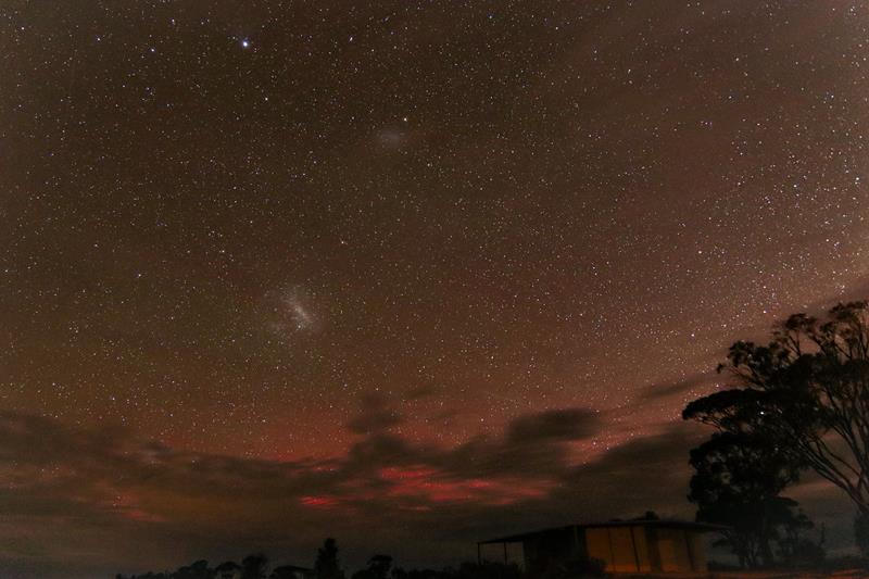
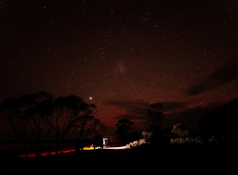
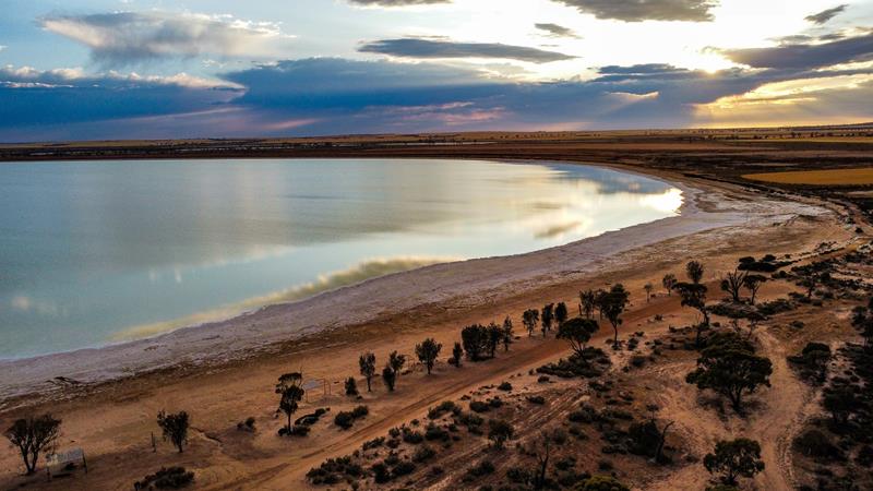
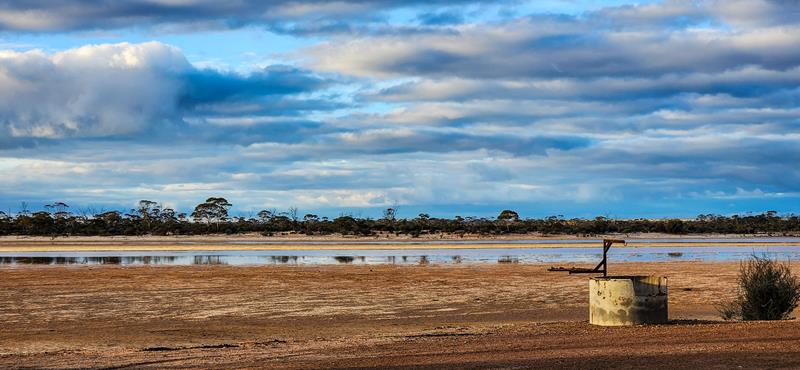
Baandee Lake is a beautiful salt lake in the Central Wheatbelt region of Western Australia. It is 25km east of Kellerberrin on Ski Lake road. This is a popular place for water skiing when there is enough water in the lake. It is also a pleasant free camping area. There are flushing toilets, cold water shower and non-drinking water for washing hands available. In cooler months you can enjoy camp fires in the fire rings provided. We stayed at Baandee Lake in early November. The weather was favourable – not too hot during the day time yet and cooling at night. There was still water in the lake although not enough for water ski activities. With plenty of space for camping along the shore of the lake to choose from, we found a nice spot with gorgeous view which we enjoyed during our 1 night stay there. We were the only ones, although a few cars visited during the day.
Fantastic views and scenery at Baandee Lake
The best thing for us camping at Baandee Lake were the awesome views of the ever changing sky.
So, we witnessed the intensely strong red sunset.
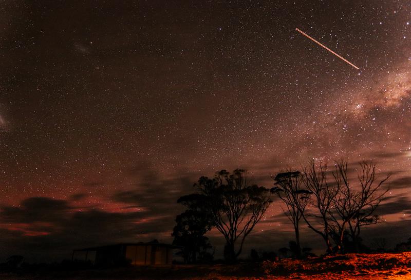
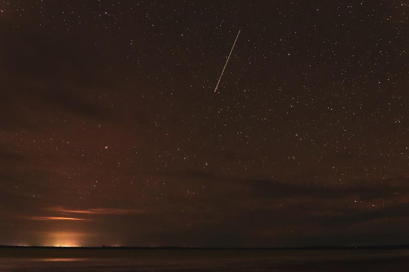
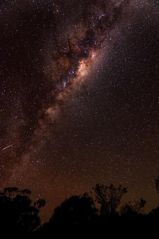
Many satelites (and maybe a comet?) across the sky full of stars but also some clouds.
Aurora passed by leaving a bit of a colour in the sky too. 🙂
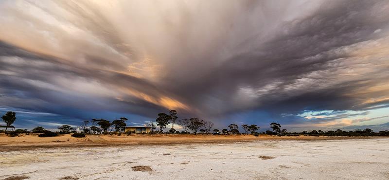
Pretty cool sunrise
Some dramatic clouds in the morning just after the sunrise.
and beautiful reflections of the clouds in the lake.
Baandee Lake is in South Doodlakine, Wheatbelt region of Western Australia. It is about 3 hour drive east from Perth.
Marshall Rock in Northeastern Wheatbelt is part of the Wheatbelt Way Drive Trail and a popular leisure spot. It is located 280km from Perth and 7km to the nearest town Bencubbin. The rock itself is quite small and easy to climb. You can also drive up to the top (no caravans). From the top you can enjoy a 360-degree view of the surrounding fields, including nearby Lake McDermott.
Marshall Rock campground
Marshall Rock campground is nestled between Marshall Rock and Gardner Hill. There are all the basic facilities there that a traveller would need, which include waterless toilet, non-drinking water, bins, a couple of picnic tables and fire- pits.
The campground is free and easily accessible, suitable for all types of vehicles and set up. And yes, you can bring your fury friend there too. Our neighbour had 12 of them 😊.
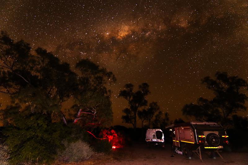
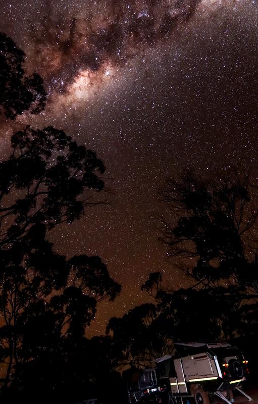
Photography and astrophotography at Marshall Rock
Marshall Rock is an easy and short hike, so it became my daily habit during our 3 day stay there. Every time the same rock and surrounding area looked differently. You can always find a new angle to look at the same thing 😊
Marshall Rock is a great place for astrophotography.
Nearby attractions
Lake McDermott
Lake McDermott is a large salt lake, near Marshall Rock. Like many other salt lakes in that area, it is often dry. When it is full, it promises to be spectacular. During our recent visit there, it turned out to be impossible to come closer to it, to take a picture of the beautiful reflections in the water cast by the surrounding bushland. We ended up with boots full of mud which took a while to clean up. The lake, however, has excellent picnic facilities and walks around, and is a nice place to spend time.
Pergandes Sheep Yards
Another attraction nearby is Pergandes Sheep Yards. This is a short trip back in time, to 1910, when Pergandes family was the first to settle in the Mt Marshall district. Today visitors can see remains of an original homestead and sheep yards constructed entirely from nearby rock. Information boards describe life of early settlers and how they contributed to the development of the area. Well worth a visit.
Waddouring Dam
Also part of the Wheatbelt Way drive trail is Waddouring Dam. Built in 1929 to provide water to the nearby town Bencubbin, it is now used for recreation purposes. Waddouring Dam is a great picnic and camping spot.
There are two camping areas there. The camp closer to the water edge has a waterless toilet, non-drinking water and a picnic table. This camping area is small but there is another larger camping area further away from the dam (closer to the entrance). The camping areas are free to use. They also have fire pits. While the water in the dam seems clear enough, swimming is not recommended but you can safely kayak and paddle. We didn’t stay at Waddouring Dam but enjoyed visiting it and talking to those people who camped there.
Manage Cookie Consent
To provide the best experiences, we use technologies like cookies to store and/or access device information. Consenting to these technologies will allow us to process data such as browsing behavior or unique IDs on this site. Not consenting or withdrawing consent, may adversely affect certain features and functions.
Functional Always active
The technical storage or access is strictly necessary for the legitimate purpose of enabling the use of a specific service explicitly requested by the subscriber or user, or for the sole purpose of carrying out the transmission of a communication over an electronic communications network.
Preferences
The technical storage or access is necessary for the legitimate purpose of storing preferences that are not requested by the subscriber or user.
Statistics
The technical storage or access that is used exclusively for statistical purposes.The technical storage or access that is used exclusively for anonymous statistical purposes. Without a subpoena, voluntary compliance on the part of your Internet Service Provider, or additional records from a third party, information stored or retrieved for this purpose alone cannot usually be used to identify you.
Marketing
The technical storage or access is required to create user profiles to send advertising, or to track the user on a website or across several websites for similar marketing purposes.