Chandler Ruins at Lake Campion

Chandler Ruins near Lake Campion in the Wheatbelt

Chandler Ruins are the remnants of a small and short-lived mining community near Lake Campion in the Wheatbelt region of Western Australia. They are located 40km north-east of Nungarin.

How we discovered Chandler Ruins

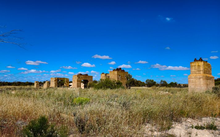
As we drove towards Talgomine Reserve, before our camping spot at Lake Brown and Eaglestone Rock we noticed a lake on our left. Stopping there turned into an unexpected little adventure. A tourist sign drew us in, so we decided to stop. The kids immediately started exploring the old concrete remains scattered near the lake. With no onsite information and nothing available at the Nungarin Visitor Centre, the ruins felt mysterious at first.

Later research revealed their story. These remnants belong to Chandler, a World War II–era chemical mining settlement and potash processing plant established in 1942 to address fertilizer shortages. At its height, Chandler had more than 70 homes, a powerhouse, and even a school. After the war, operations briefly shifted to gypsum. However, by 1952 the entire town was shut down, sold off, and dismantled.
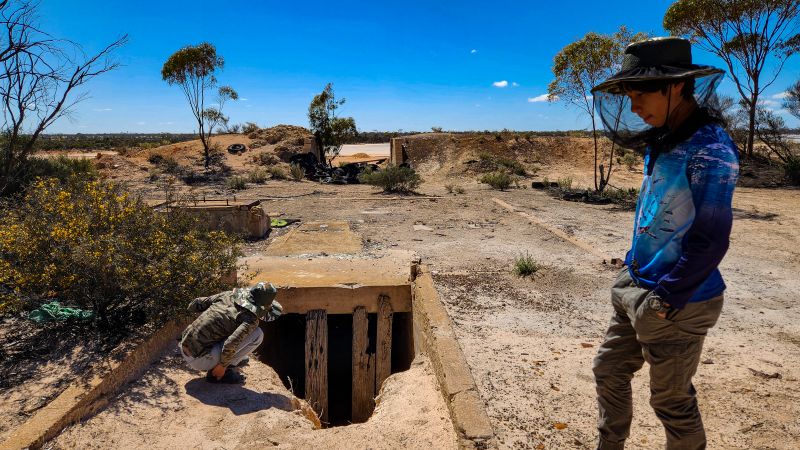
What you see today along the lake’s edge are the last traces of that vanished community. There are concrete foundations, kiln bases, and scattered industrial relics from Western Australia’s short‑lived wartime town.

A note for other explorers

If you are interested in exploring this little gem of history, please note that there is no proper sign or information provided at the site. However, there is a tourist attraction sign near the lake, where you can stop. On one side of the road is the old Potash mine and the salt lake with a few remnants. This is where we stopped and explored that area. We didn’t know until later, but apparently, on the other side of the road you can see what’s left of the structures of past buildings.

You can also find more historical information about Chandler Ruines from the Heritage Council of WA Places Database.
Talgomine Reserve

Talgomine Reserve is a large picturesque area around the rock, 12 km east of Nungarin in the Сentral Wheatbelt. Talgomine rock was ‘originally named Mount Moore’.  In the 19 century the place was used as a stopping place for travellers and stock passing through the area. The reserve became an important watering place. Particularly, it served as a community sheep dip to treat skin infection of animals.

Facilities

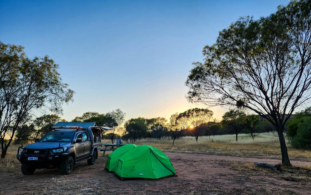
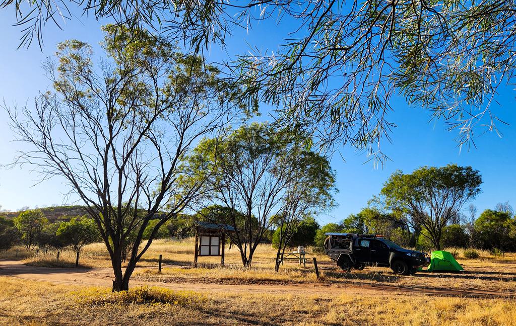
There is a free campground at the base of a rock. Facilities at Talgomine Reserve include a picnic table and a long drop toilet, as well as bins. We enjoyed having the place all to ourselves for the night. It turned out to be a much nicer and cozier place than Danberrin Rock where we stopped initially but had to leave due to ants’ infestation.

People camping at Talgomine Reserve

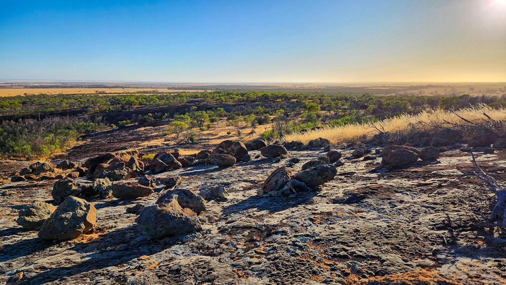
Nice walks and nature at Talgomine Reserve

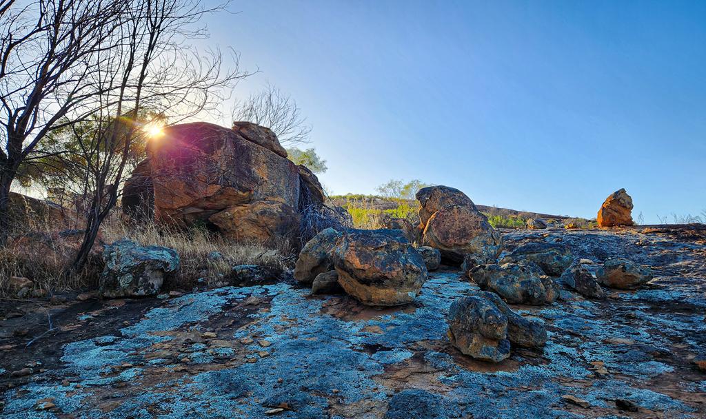
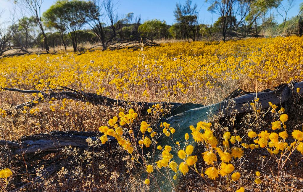
In the morning, I wandered through the area, climbing over granite outcrops and circling the boulders. Just a few weeks ago, this place would have been ablaze with wildflowers—especially everlastings. Now, only the orange immortelle (Waitzia acuminata) remained, still flowering but past its prime. Aside from that, little else was in bloom.

Waitzia acuminata everlasting at Talgomine Reserve

Yet the landscape held its own quiet beauty. The granite shimmered softly in the morning light, birds chirped cheerfully in the stillness, and a sense of peace settled over everything. We felt grateful to have spent the night here, far from the buzz and bustle of city life—a gentle pause in nature’s embrace.

Lake Brown and Eaglestone Rock

Lake Brown and Eaglestone Rock

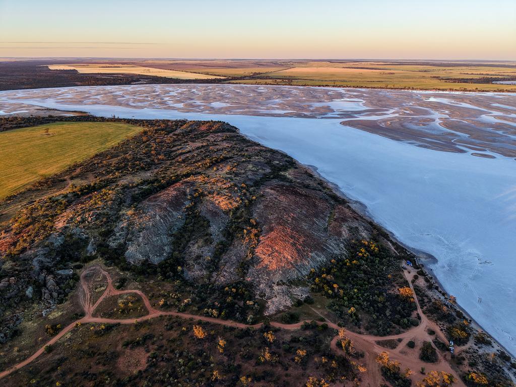
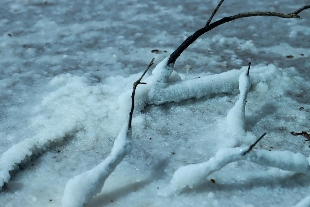
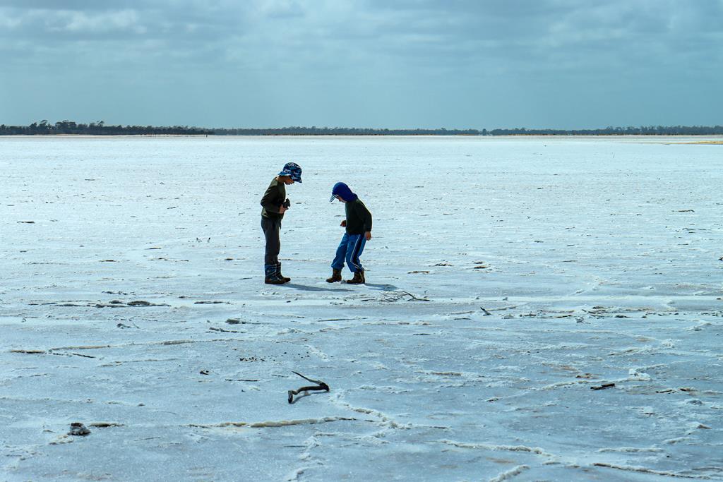
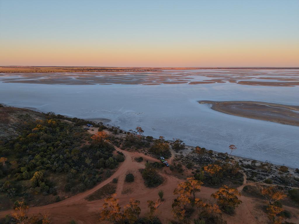
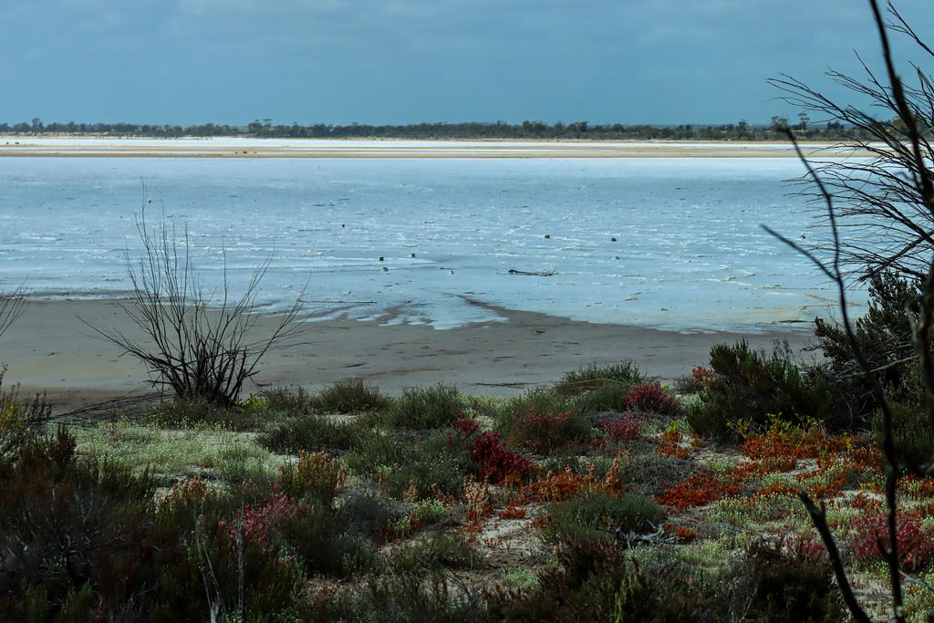
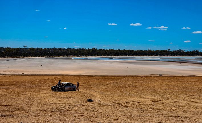
Salt lakes are a great natural wonder in the Wheatbelt. When there is a lot of rainfall, the salt lakes become fully alive with many of lying dormant seeds and eggs waking up to the right conditions. In dryer seasons, many salt lakes dry up and harden so much that you can walk on their surface. There is so much salt in them, that the dry salt resembles ice and for someone who has never seen ice, it is a real delight. Lake Brown is one such place of wonder. Kids had a lot of fun walking on the salty crust and playing with it. While I was busy photographing beautiful landscape.

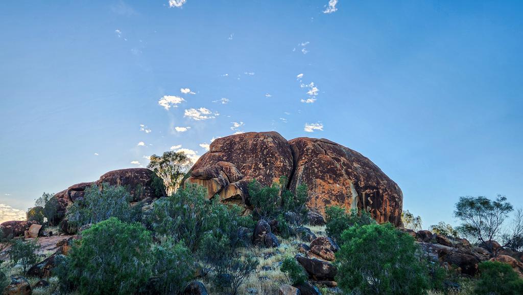
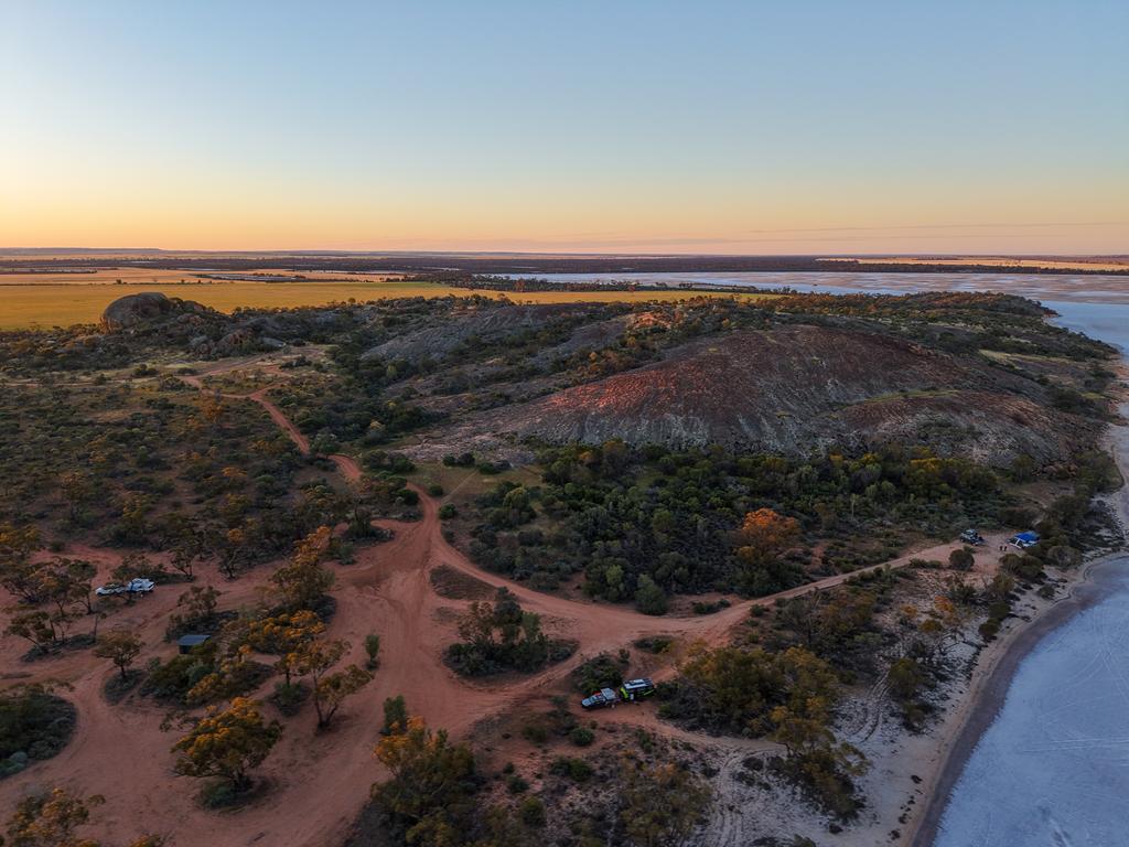
Overlooking Lake Brown is Eaglestone Rock. It is an unusually shaped granite outcrop that resembles a creature, although exactly what creature is open to interpretation. We think it looks like a turtle 😊.

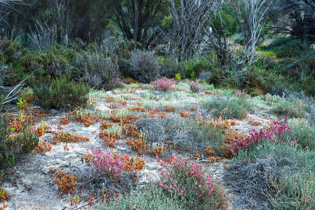
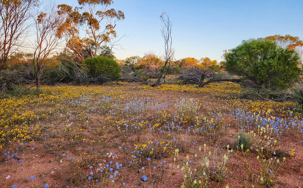
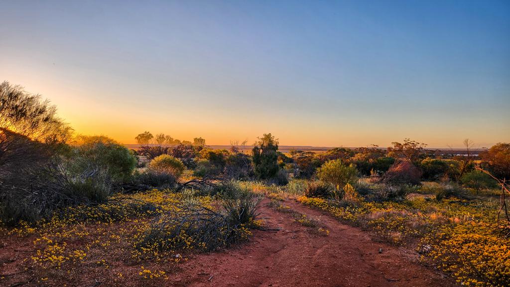
The rock sits within a nature reserve and provides beautiful views, particularly during wildflower season. Everlastings, including Orange Immortelle, Pink Paper Daisy, Brunonia australis, and Mulla Mulla, carpet the landscape and create a vibrant display of colour. Nearby Lake Brown complements Eaglestone Rock perfectly, adding to the area’s picturesque scenery.

Free camping is available at several sites around the rock. Facilities include a single drop toilet, picnic tables, and a few barbecue pits. There are no rubbish bins, so visitors should take all waste with them when they leave. We first visited in 2021 but came back in early October 2026 and actually camped there for a couple of nights.

Lake Brown and Eaglestone Rock are located 20km north east of Nungarin in the Wheatbelt region of WA and are accessed via Lake Brown South Road.