Baladjie Rock

Baladjie Rock

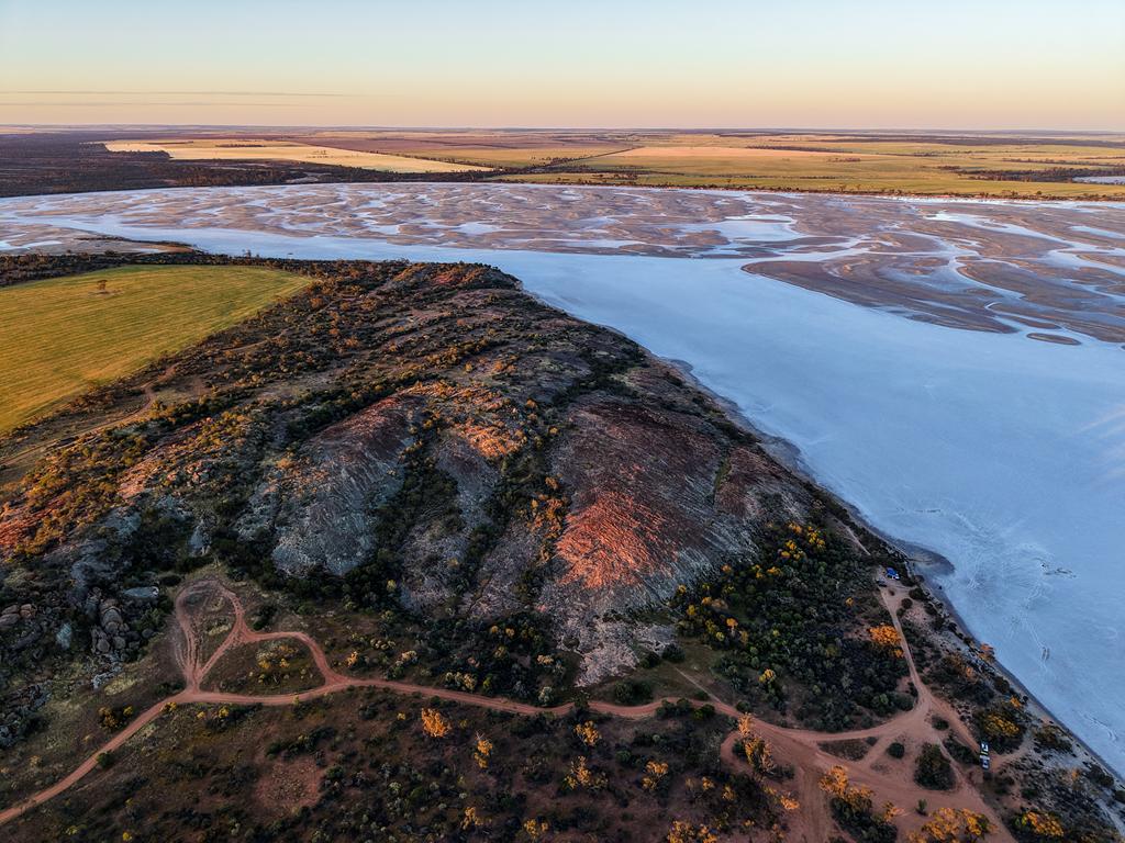
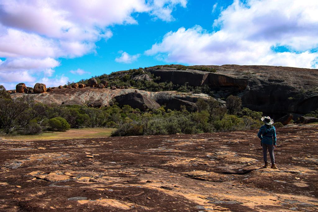
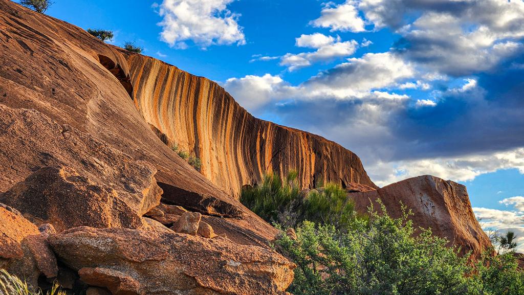
Baladjie Rock is a spectacular granite outcrop and a free camping destination located 42 km north of Westonia in the north-eastern Wheatbelt. It is one of the highlights along the Wheatbelt Way self-drive trail and ranks among the largest granite formations in the region.
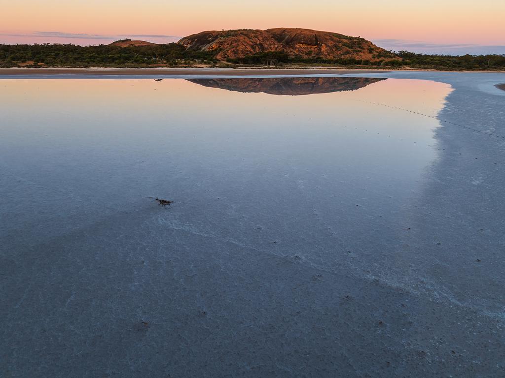
Baladjie Rock reflected in Baladjie Lake

The area offers excellent photography opportunities, particularly with nearby Baladjie Lake providing beautiful reflections and scenic vistas. The rock itself features fascinating boulder formations and striking natural patterns and colours that make it a rewarding place to explore.
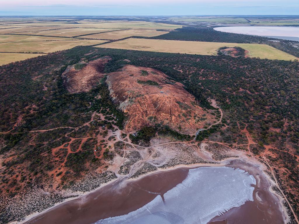
Aerial view of Baladjie Rock

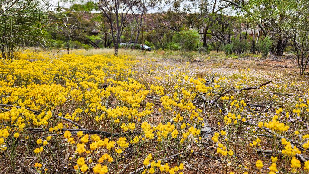
Situated within a nature reserve, Baladjie Rock comes alive in spring with carpets of wildflowers. Orange Immortelles, pink Mulla Mulla and Cotton Bush (Ptilotus obovatus) create vibrant displays across parts of the landscape, adding to the area’s natural beauty.
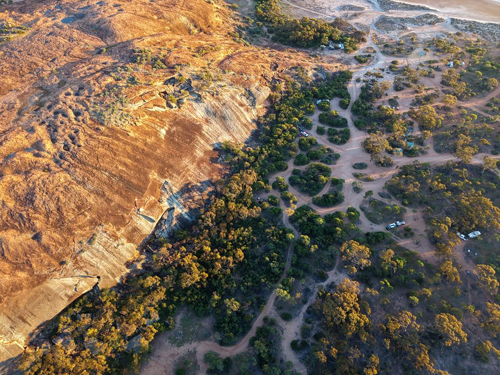
The campground is spacious, with sites scattered around the base of the rock. Facilities are basic but well maintained, including a couple of sheltered picnic tables and a flushing toilet. Visitors should note that there are no rubbish bins, so all waste must be taken out.
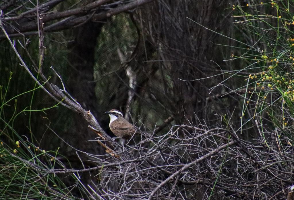
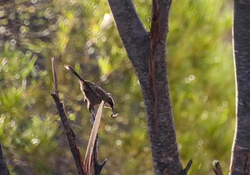
Baladjie Rock is home to many bush birds, and one of the most abundant is the White-browed Babbler. As quick and active as these small birds are, there were still plenty of opportunities to observe them.
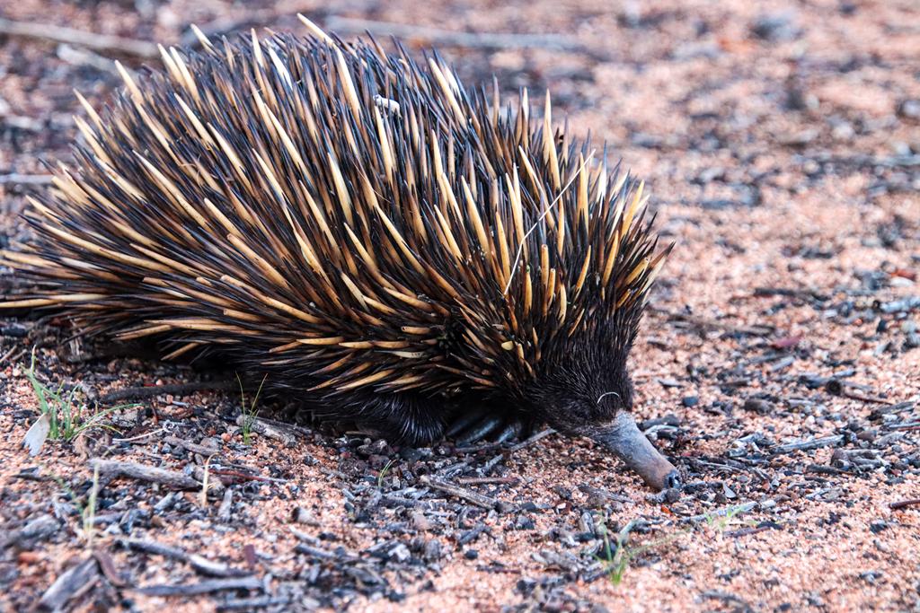
We were lucky to spot an echidna while walking around Balajdie Rock.
Baladjie Rock is an ideal place to spend a few nights, especially during winter and spring. We particularly recommend it if you enjoy wildflowers, exploring granite outcrops, or photographing beautiful scenery.
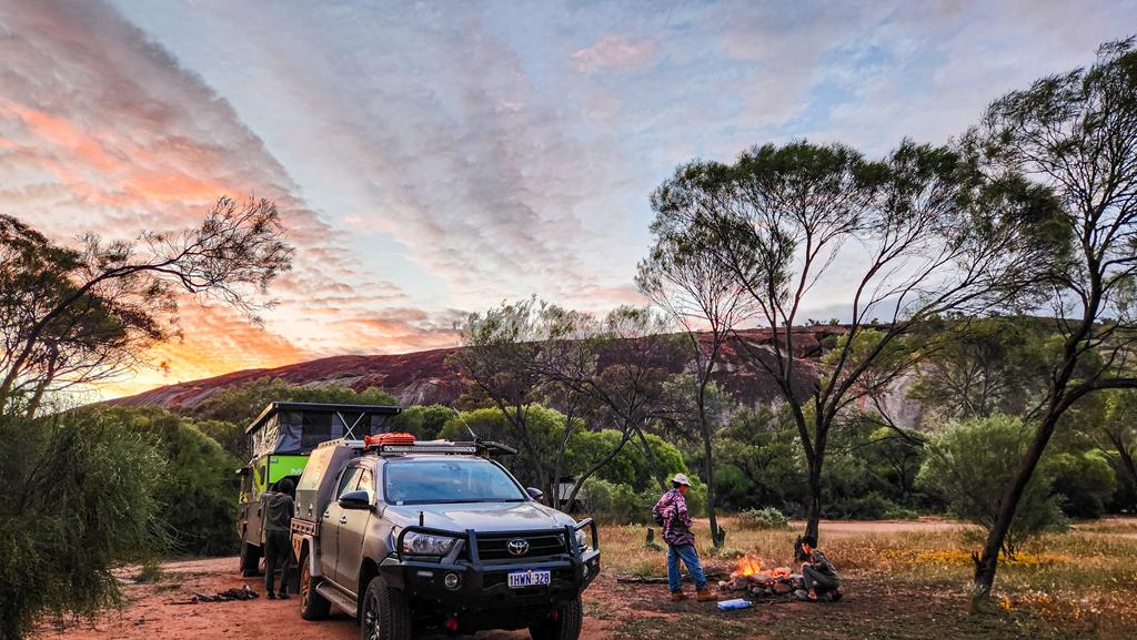
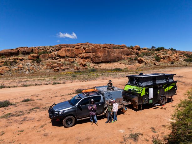
People camping at Baladjie Rock

Wheatbelt Wonder

Greetings,
We love the Wheatbelt! There is something so magical about the ancient granite outcrops, salt lakes, and open wheat fields. But mostly, it is the sense of vast space, peace and quiet, and a certain remoteness that draws us in.

In late September and early October, we visited a number of places in the Wheatbelt. We started at peaceful (and apparently very salty) Lake Ninan near Wongan Hills. We then moved to the north-eastern Wheatbelt, where we stayed for a couple of nights at Billiburning Rock (our second visit already). From there, we travelled to the Westonia region and visited the marvellous Sandford Rocks Reserve. Our camping spot there was Baladjie Rock (a post is yet to come). For our final destination, we travelled to Nungarin, visiting Talgomine Reserve and discovering the Chandler Ruins along the way. We spent two beautiful nights at Eaglestone Rock, near the Lake Brown camping area.

It was a jam-packed trip, full of adventures.

Stay tuned, because we are already planning our next adventures! 🙂

Chandler Ruins at Lake Campion

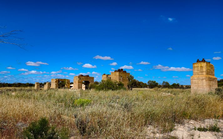
Chandler Ruins near Lake Campion in the Wheatbelt

Chandler Ruins are the remnants of a small and short-lived mining community near Lake Campion in the Wheatbelt region of Western Australia. They are located 40km north-east of Nungarin.

How we discovered Chandler Ruins

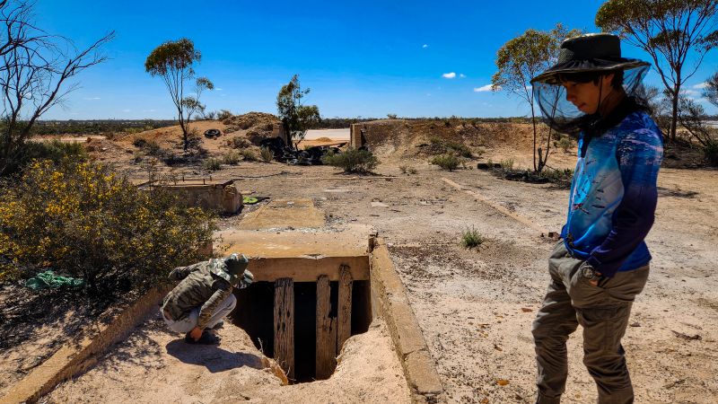
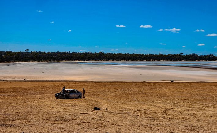
As we drove towards Talgomine Reserve, before our camping spot at Lake Brown and Eaglestone Rock we noticed a lake on our left. Stopping there turned into an unexpected little adventure. A tourist sign drew us in, so we decided to stop. The kids immediately started exploring the old concrete remains scattered near the lake. With no onsite information and nothing available at the Nungarin Visitor Centre, the ruins felt mysterious at first.

Later research revealed their story. These remnants belong to Chandler, a World War II–era chemical mining settlement and potash processing plant established in 1942 to address fertilizer shortages. At its height, Chandler had more than 70 homes, a powerhouse, and even a school. After the war, operations briefly shifted to gypsum. However, by 1952 the entire town was shut down, sold off, and dismantled.

What you see today along the lake’s edge are the last traces of that vanished community. There are concrete foundations, kiln bases, and scattered industrial relics from Western Australia’s short‑lived wartime town.

A note for other explorers

If you are interested in exploring this little gem of history, please note that there is no proper sign or information provided at the site. However, there is a tourist attraction sign near the lake, where you can stop. On one side of the road is the old Potash mine and the salt lake with a few remnants. This is where we stopped and explored that area. We didn’t know until later, but apparently, on the other side of the road you can see what’s left of the structures of past buildings.

You can also find more historical information about Chandler Ruines from the Heritage Council of WA Places Database.

Sandford Rocks near Westonia

A boy walking on top of Sandford Rocks near Westonia

Sandford Rocks Nature Reserve is one of the Wheatbelt’s most significant granite outcrops, offering visitors the opportunity to experience and appreciate nature in its original and unique form. A moderately challenging 2 km loop trail leads to the summit of the rock before finishing at the bird hide.

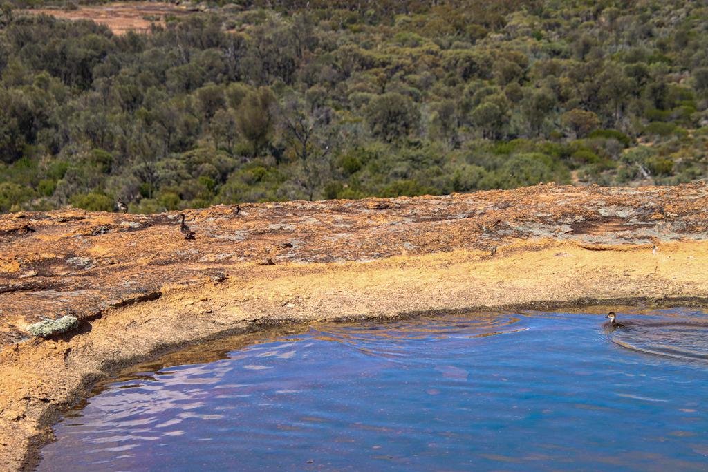
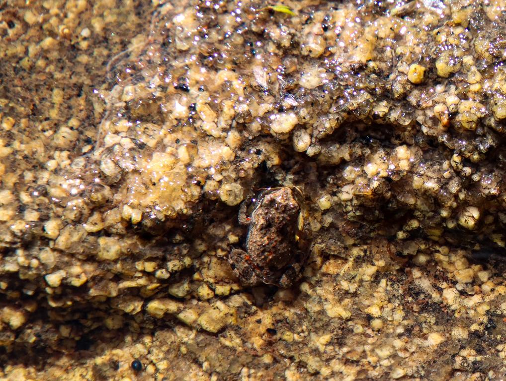
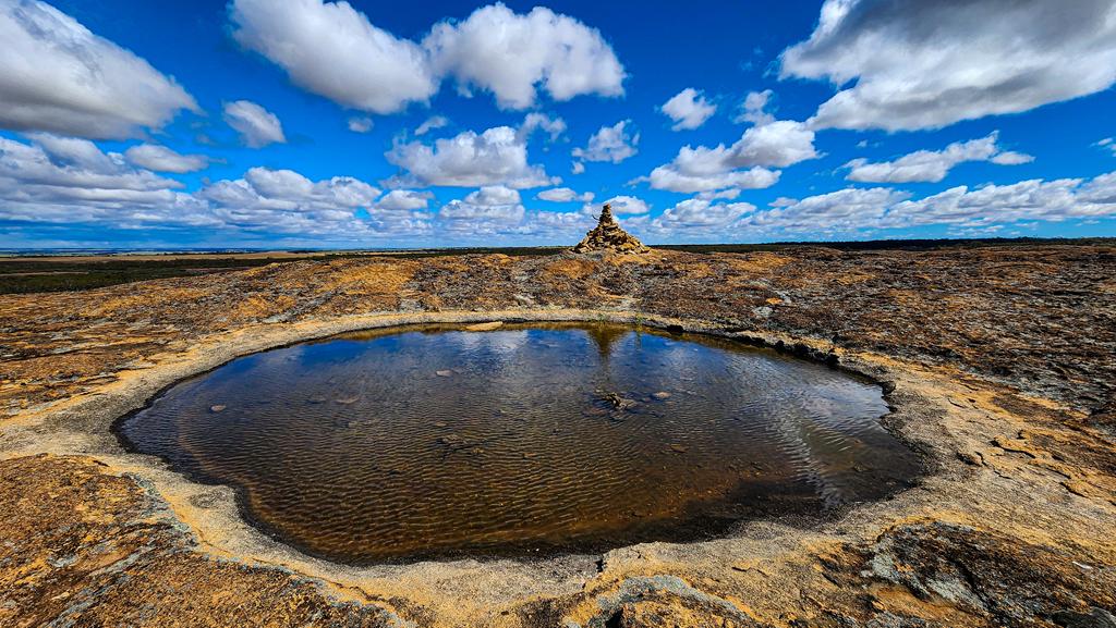
Home to a diverse range of flora and fauna, Sandford Rocks is also a paradise for nature photographers. We spotted several ornate dragon lizards, although they were far too quick for me to capture on camera. One of the highlights was discovering tiny ducklings swimming in a gnamma hole, while our younger son was excited to find a tadpole there as well.

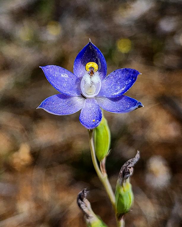
I was particularly delighted to come across a beautiful granite sun orchid Thelymitra petrophila, adding another special moment to our visit.

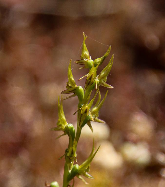
Tiny orchids like Prasophyllum gracile make their home in the shallow soil pockets on top of Sandford Rocks.

In the past Sandford Rocks used to have a name Yorky rocks, as quite a few locals told us.

Sandford Rocks Nature Reserve is located just 10 km north-east of Westonia in Western Australia’s Wheatbelt region. The reserve is easily accessible, with only a short detour from the main road required to reach the site. There are picnic facilities for visitors, making it a pleasant spot to relax and enjoy the surrounding landscape, although there are no toilets.

Gnamma hole on top of Sandford Rocks.