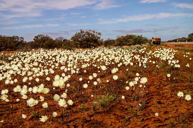
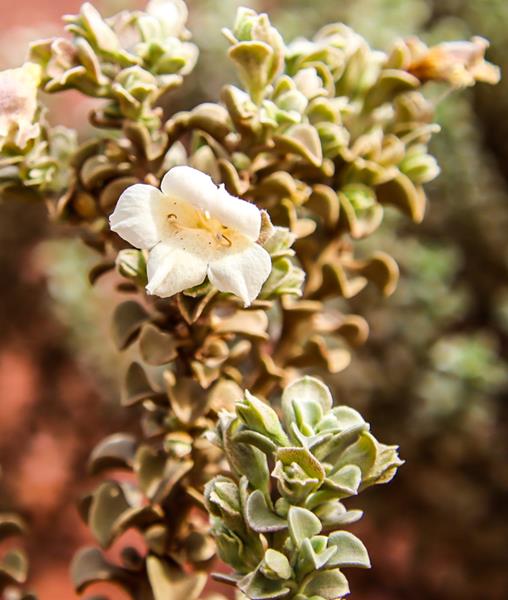
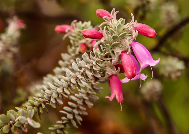
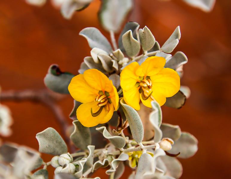
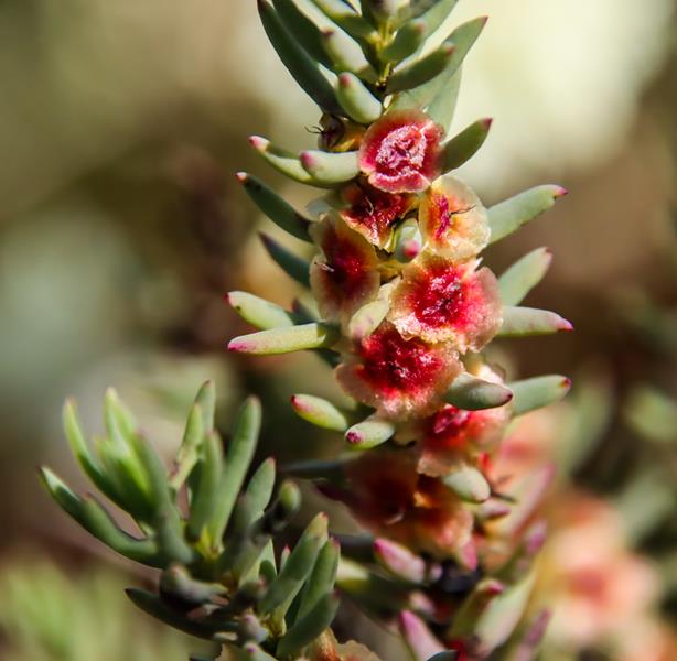
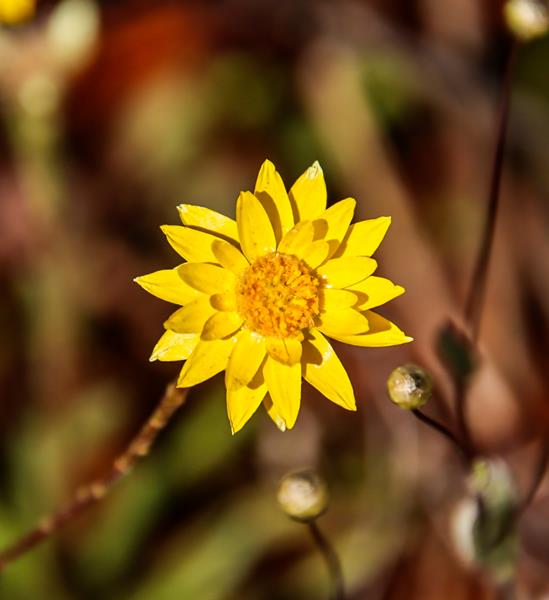
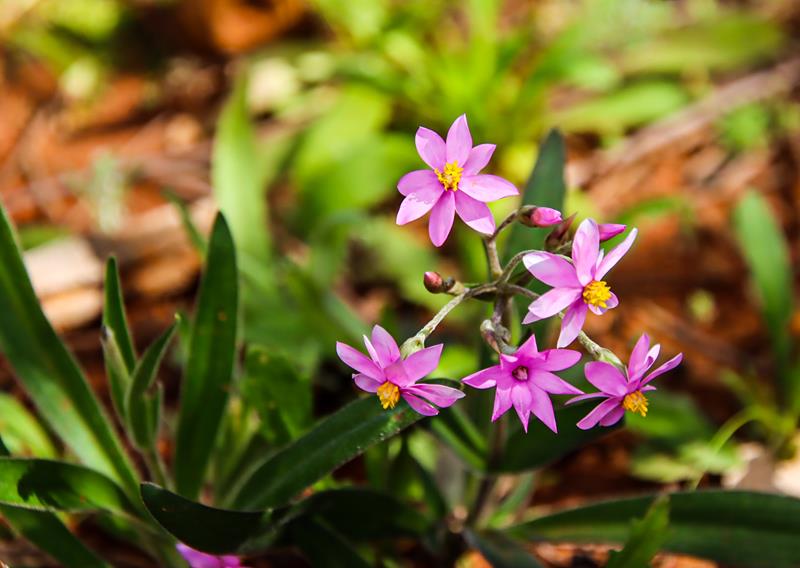
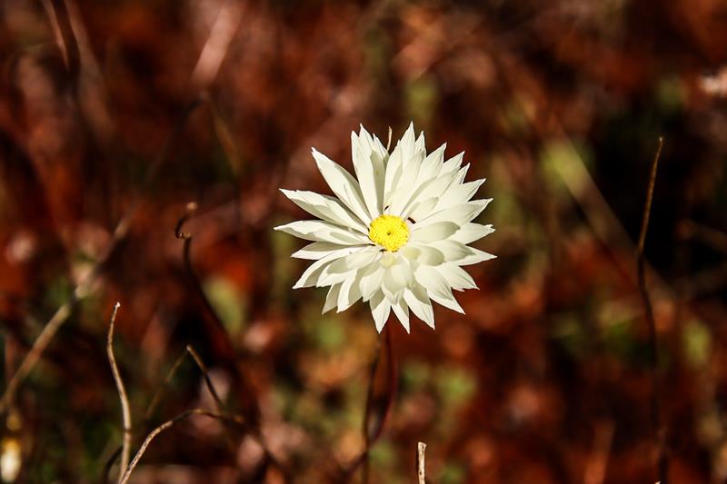
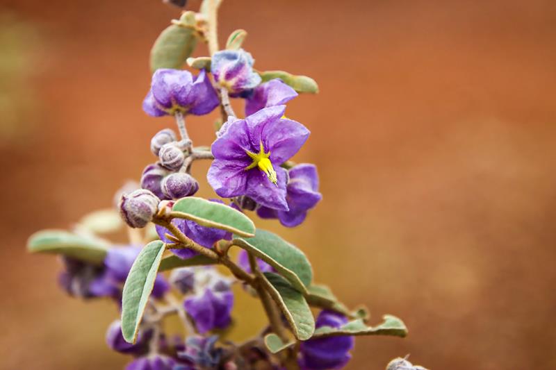
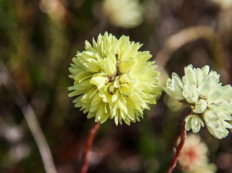
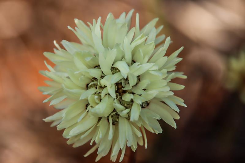
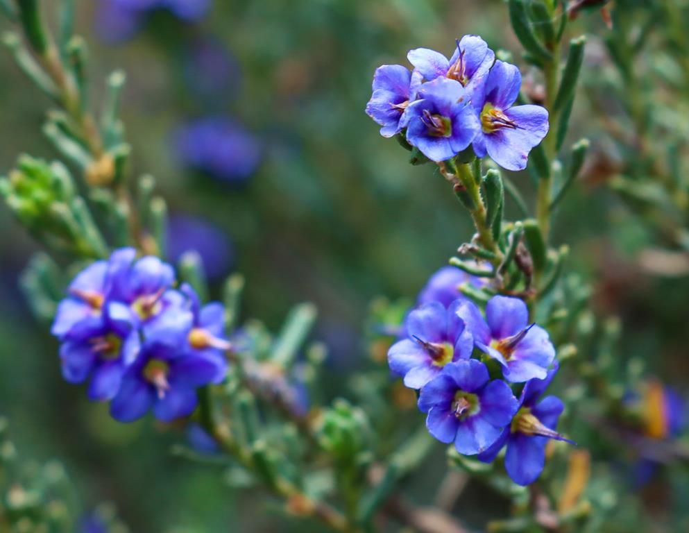
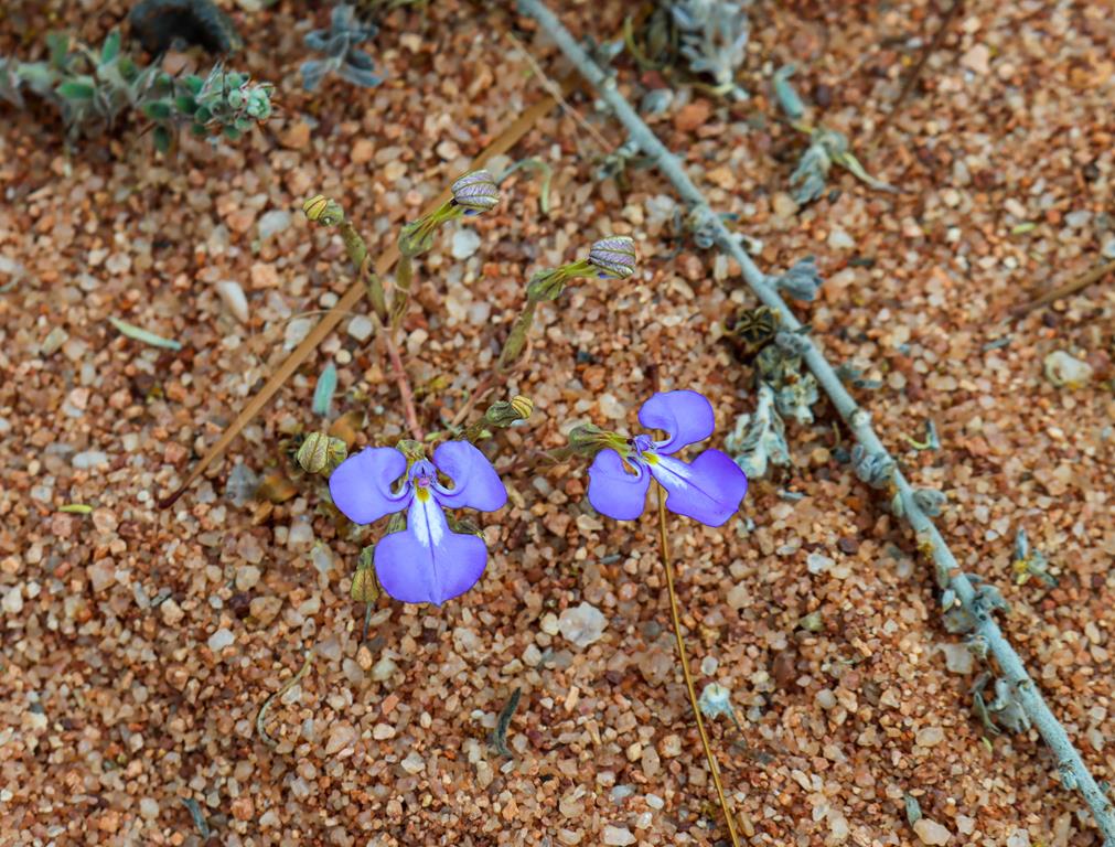
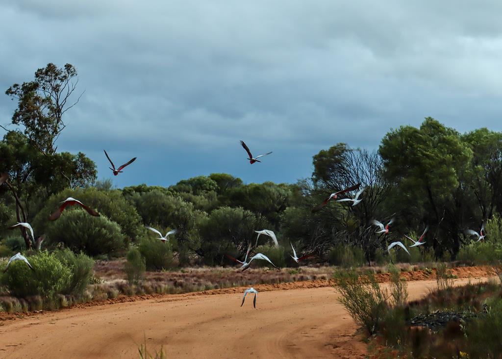
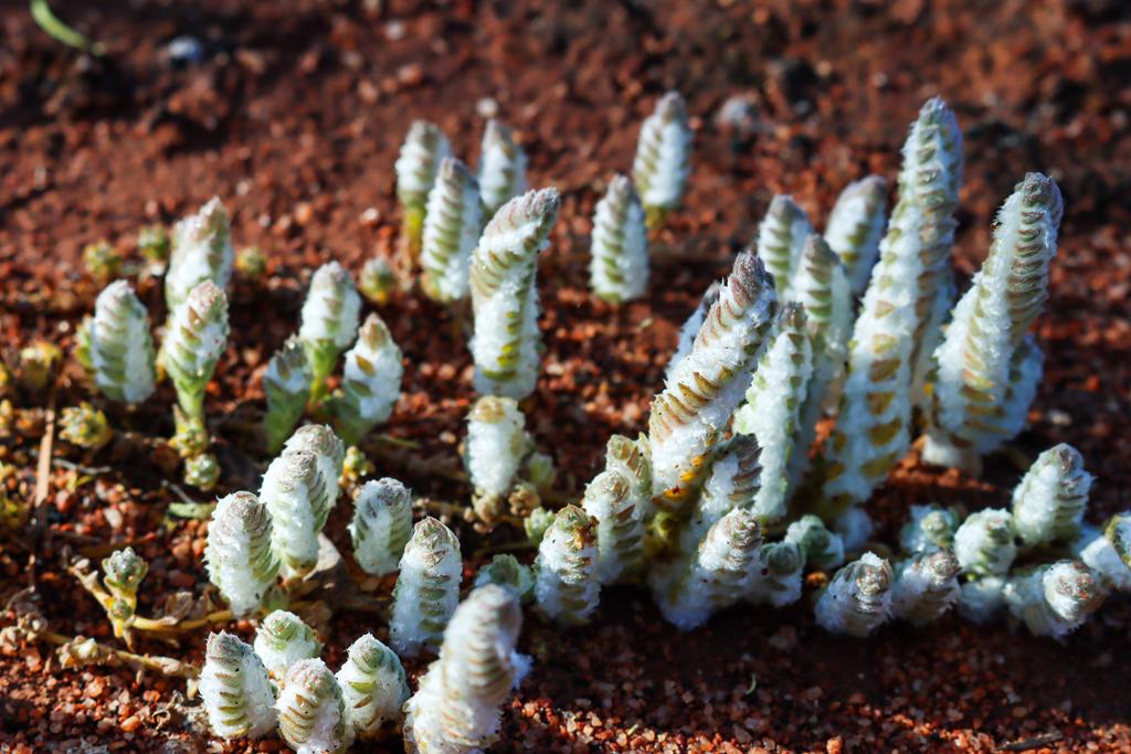
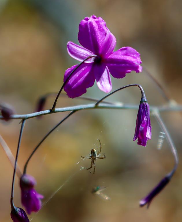
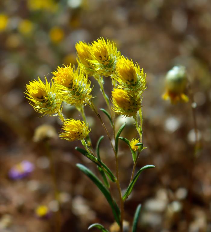
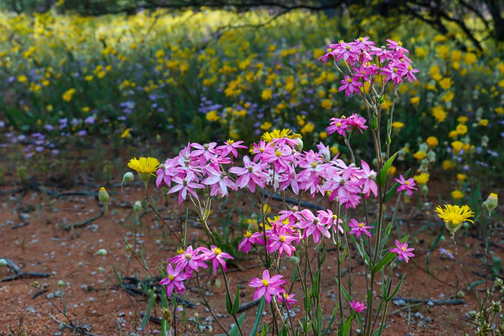
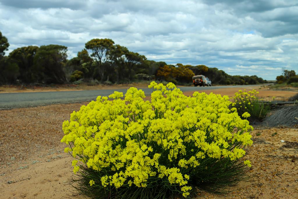
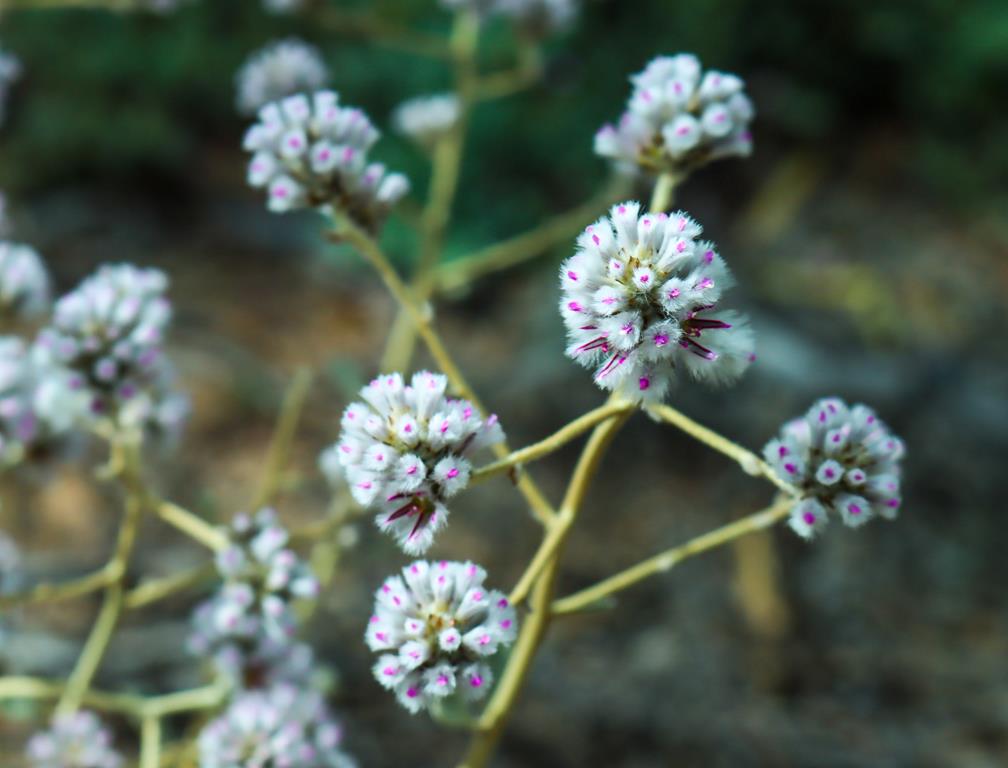
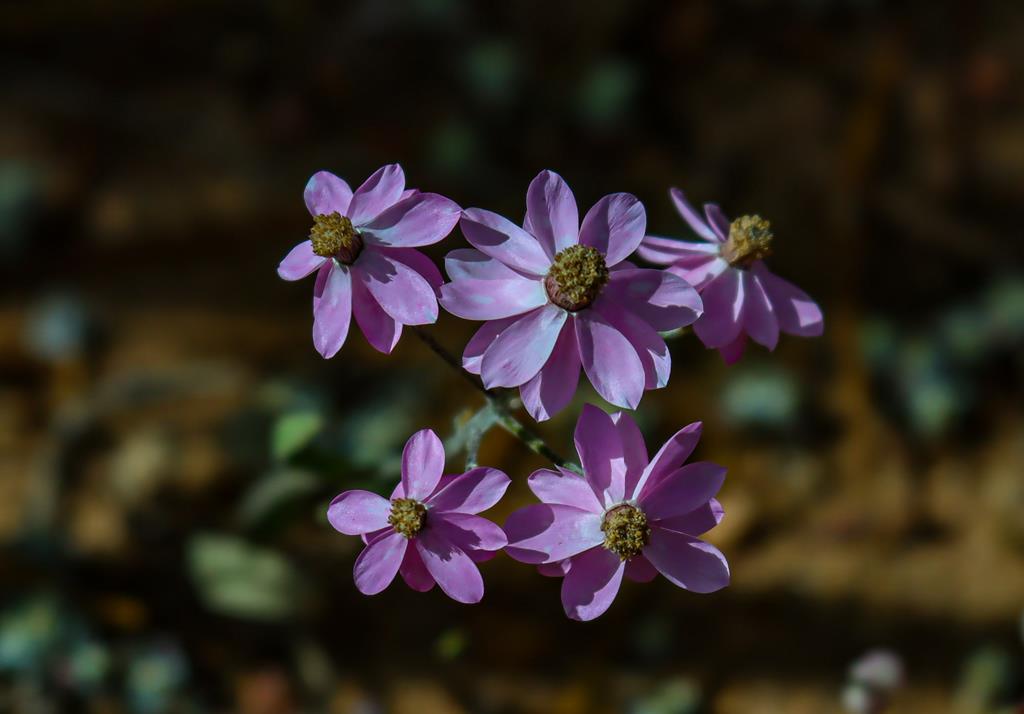
When you travel along the Great Northern Hwy in winter months, you might be able to see quite a variety of wildflowers. So keep an eye on the beauty that grows along the road. The variety of colours and shapes of the wildflowers in season is amazing. These pretty wildflowers (Rhodante chlorocphala splendida or Splendid Everlasting) are growing in Mid West region of WA, along Great Northern Hwy, between Newman and Paynes Find.
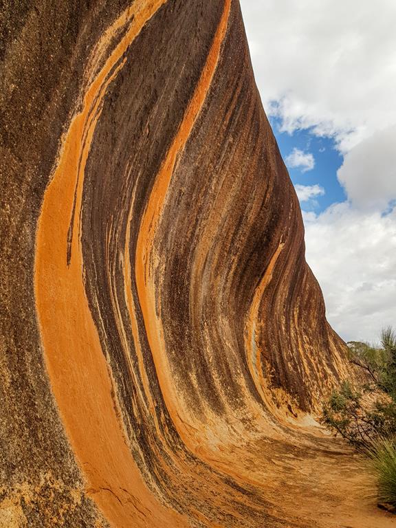
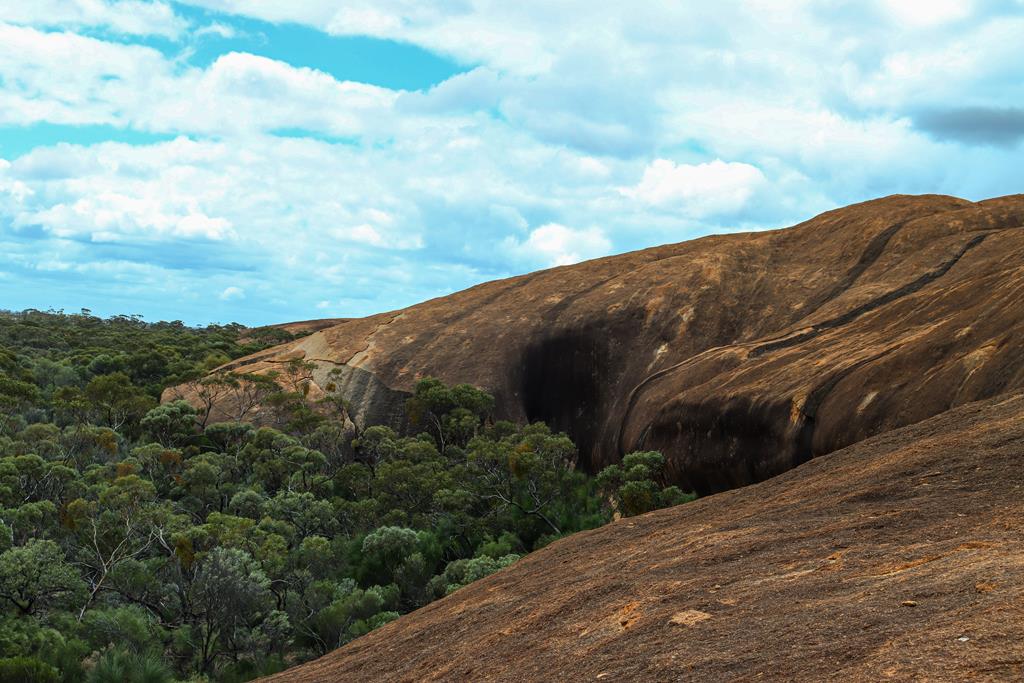
Elachbutting Rock is one of the more popular rocks in Eastern Wheatbelt. It is located 70 km northeast of Mukinbudin, (the nearest town). While not as big as WaveRock, it is still quite big and has features similar to Wave Rock.
The name Elachbutting means “big thing standing” for its sheer size, making it a prominent landmark with sweeping views from the top.
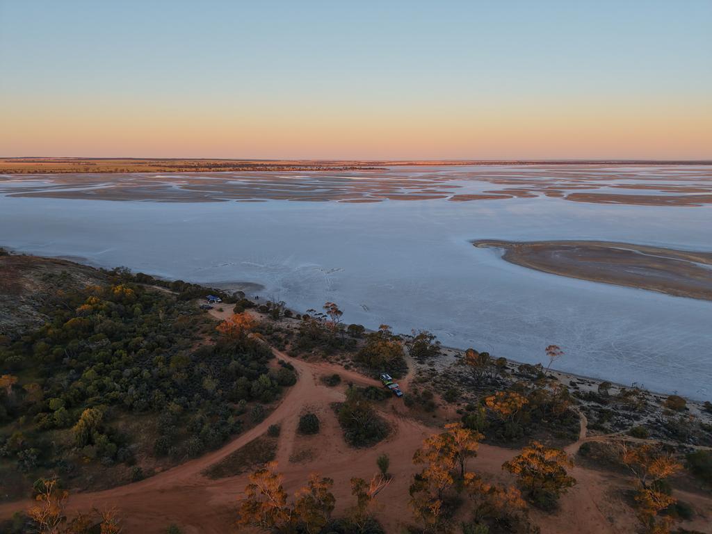
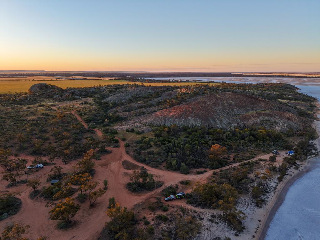
Campground
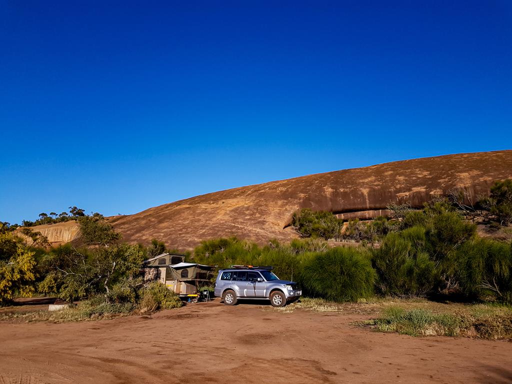
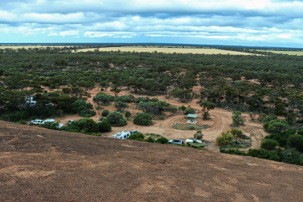
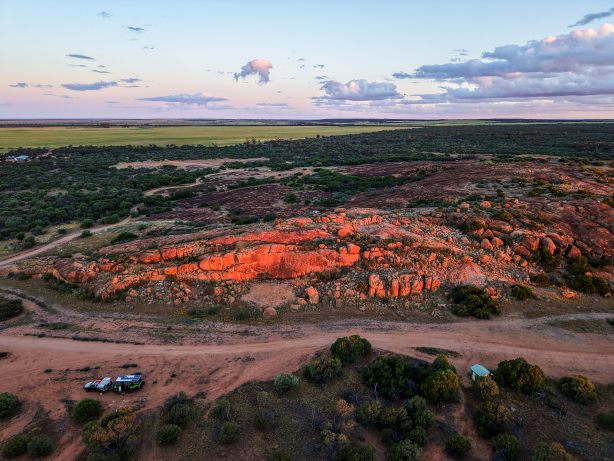
There is a large picnic and free camping area (suitable for at least 50-60 vehicles) with toilet and picnic tables.
The view of the camping area from Elachbutting Rock
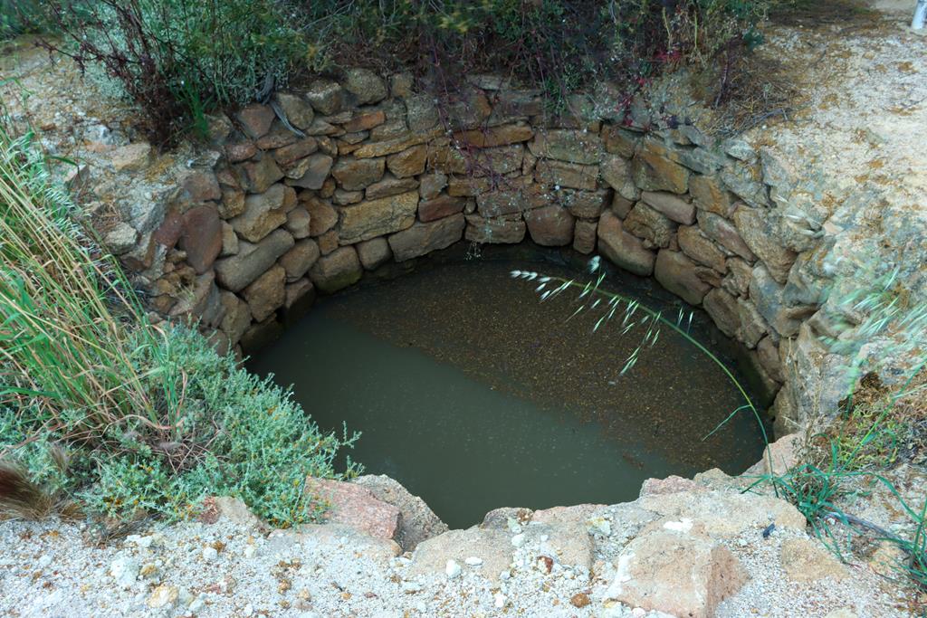
Not far away from the camping area, there is an old well established by early settlers to provide them with drinking water (which is not drinkable now).
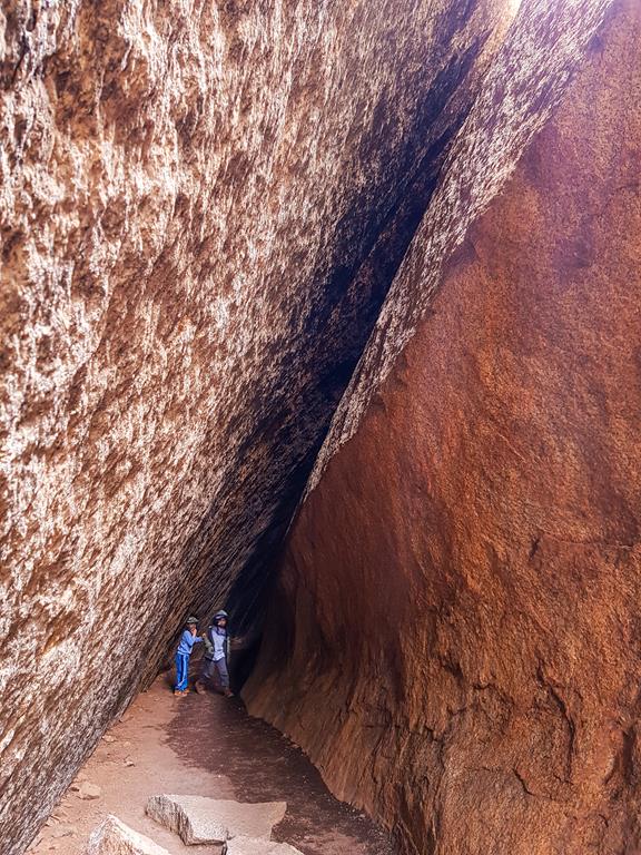
The gravel track around the rock is 6km long (which shows how big the rock is) with the camp area on one side and the wave rock formations on the other side. Nearby is Monty’s Pass, a 30m tunnel, caused by a rockslide.
Monty’s Pass
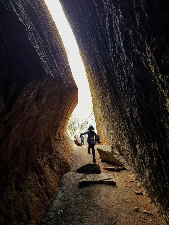
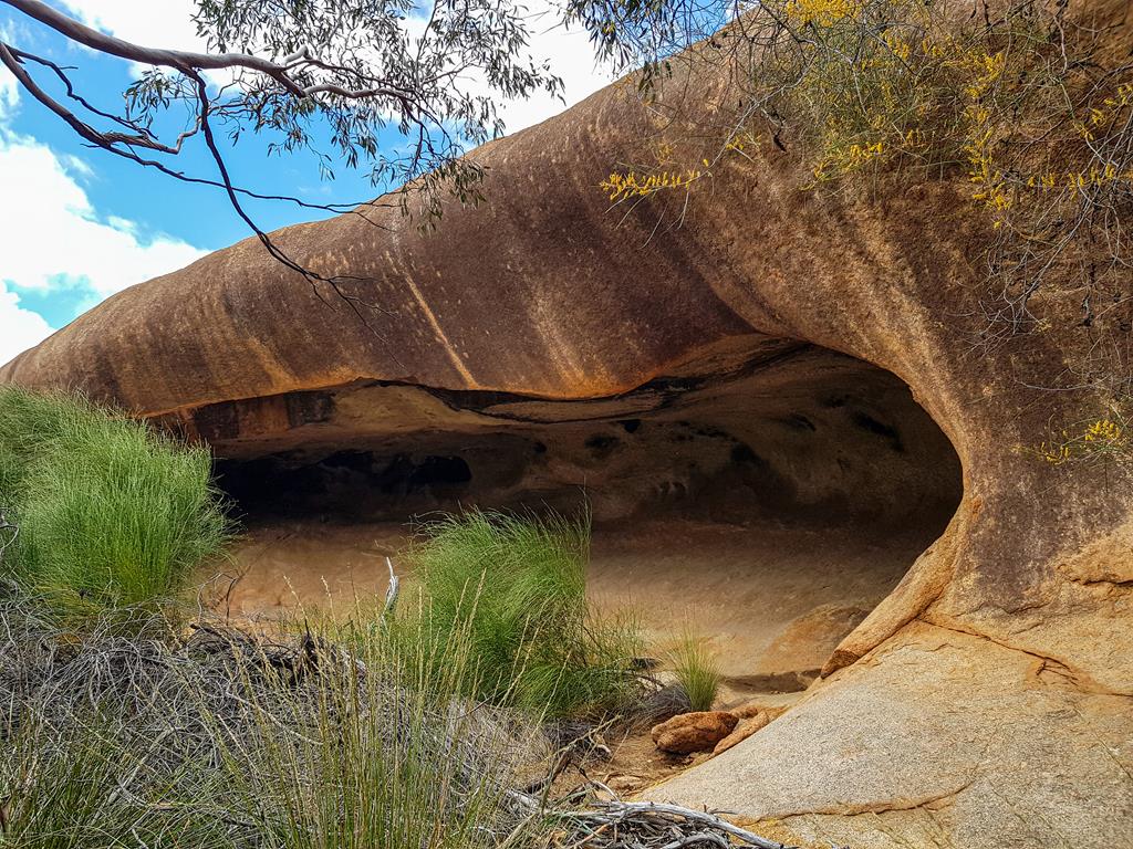
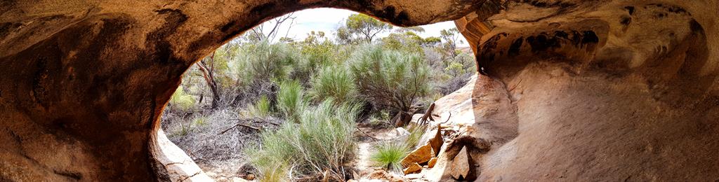
Next to Monty’s Pass is King’s Cave. While the word Cave might be an exaggeration, as it looks more like a hollow, King’s Cave is said to be acoustic, providing good echoes. In any case, it is a fun place to visit, especially for kids.
King’s Cave at Elachbutting Rock
Flora and fauna
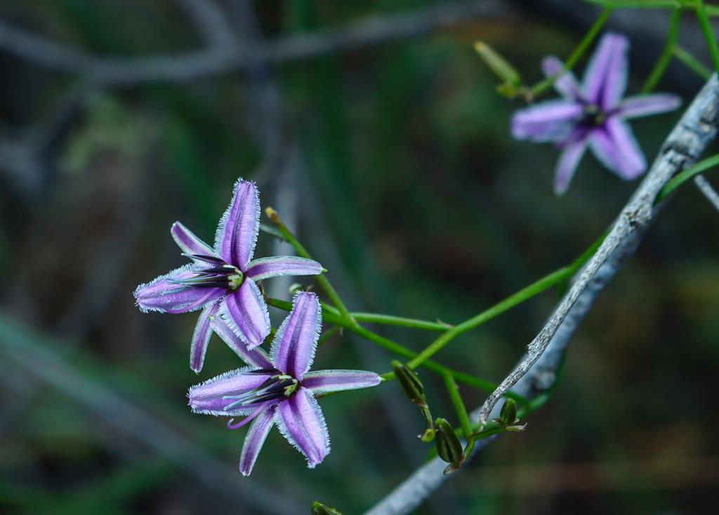
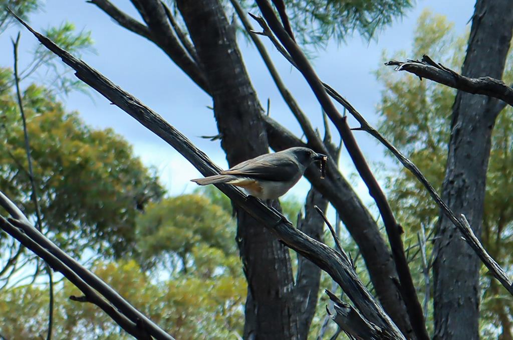
Elachbutting Rock is surrounded by Elachbutting Nature reserve, which means it is home to many birds and wildflowers.
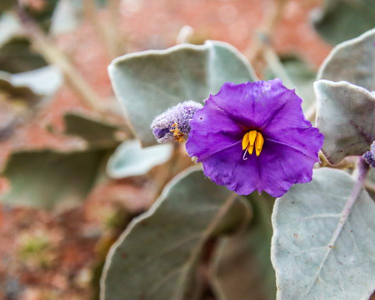
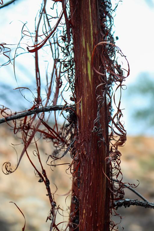
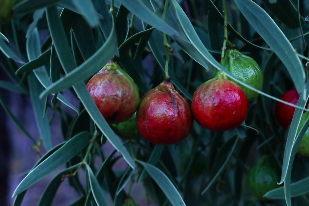
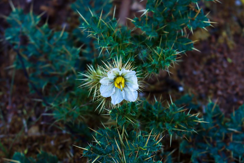
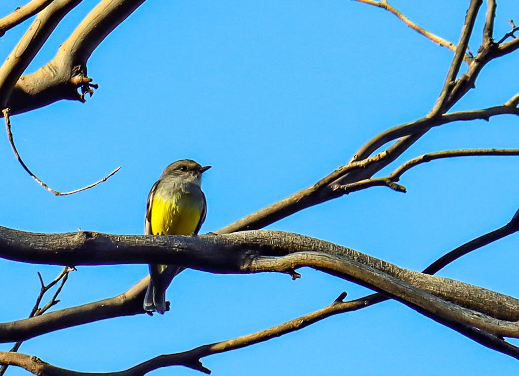
Brunonia australis Native CornflowerFringed lily Thysanotus manglesianusGrey ShrikethrushHalgania speciesLobelia winfridaeLots of galahsMaireana CarnosaSantalum AcuminatumSolanum SisymbriifoliumWestern Yellow RobinFlora and fauna at Elachbutting Reserve
Elachbutting Rock 4WDriving and climbing
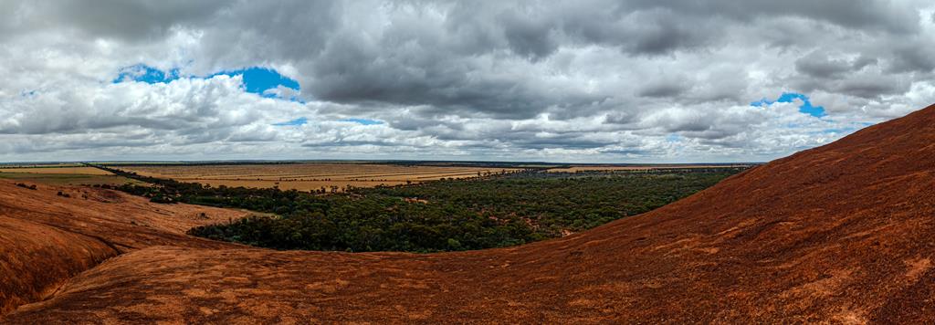
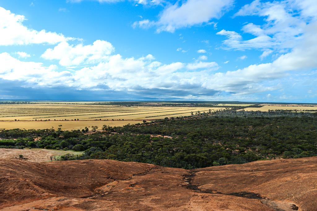
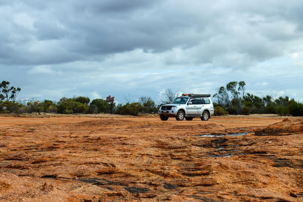
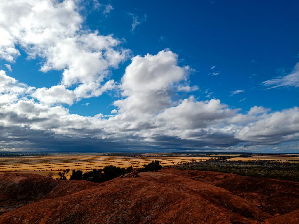
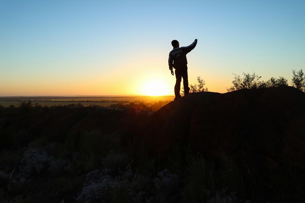
We climbed onto Elachbutting Rock and we drove onto it (part of it using a 4WD only track). The views from the top of the rock give you a perspective of the vastness of the land, and you can marvel at the patterns and the colours of nature, the shapes and the lines that form a sophisticated and beautiful puzzle.
From the top of Elachbutting Rock
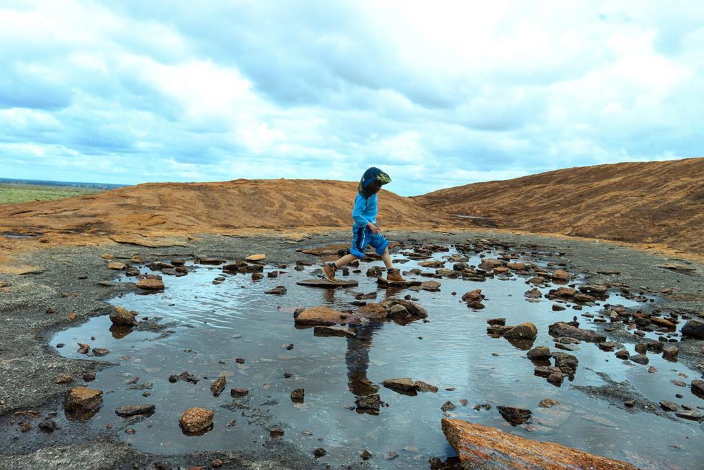
Kids found their own entertainment on top of the rock – walking on stones inside a small puddle.
A puddle on the rock
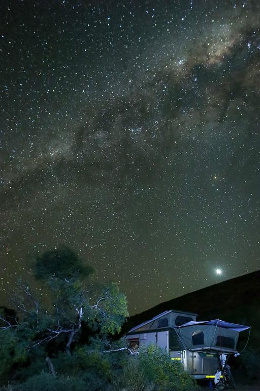
The Elachbutting granite outcrop (or part of it) provides an interesting background when taking pictures of a night sky, with millions of stars rising up above horizon.
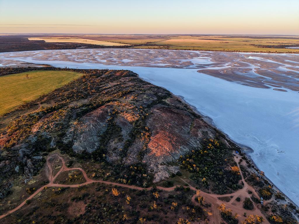
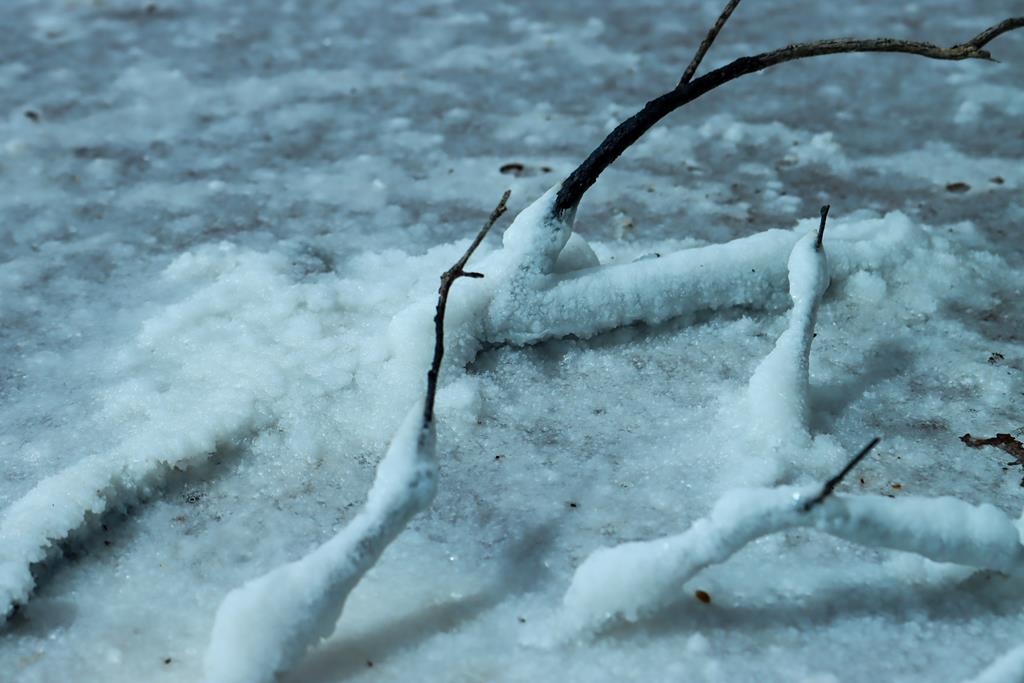
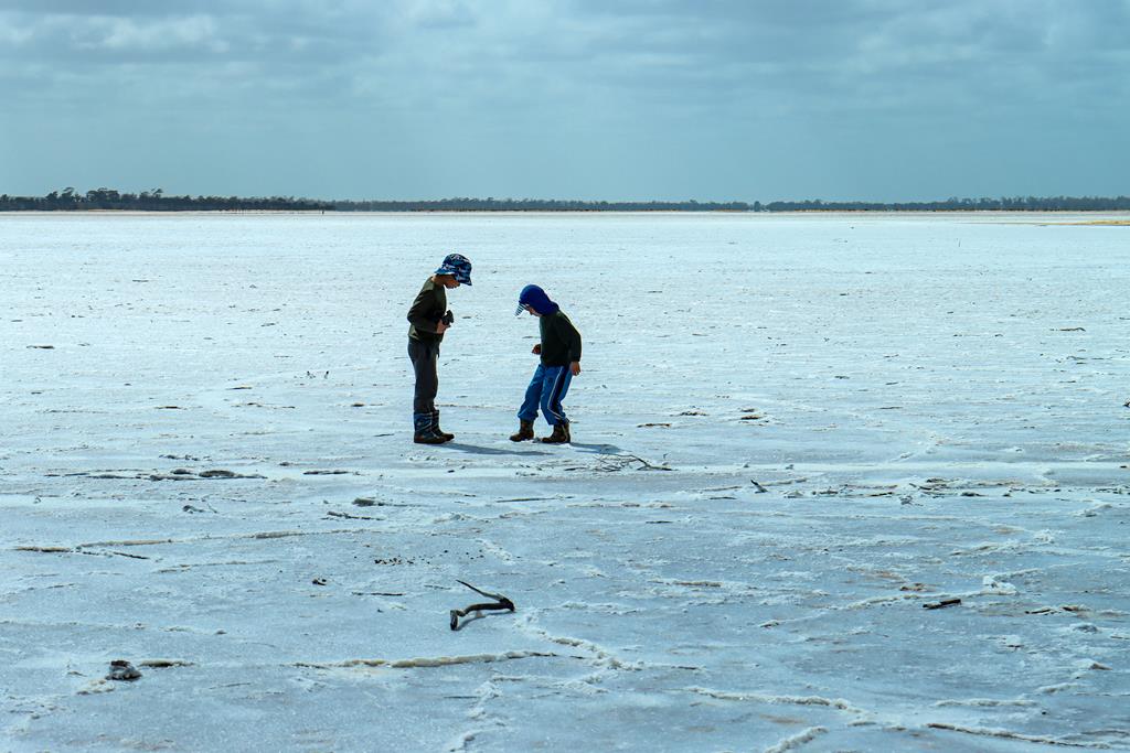
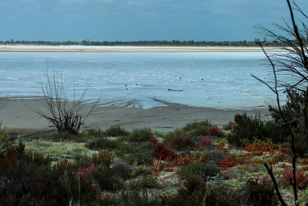
Salt lakes are a great natural wonder in the Wheatbelt. When there is a lot of rainfall, the salt lakes become fully alive with many of lying dormant seeds and eggs waking up to the right conditions. In dryer seasons, many salt lakes dry up and harden so much that you can walk on their surface. There is so much salt in them, that the dry salt resembles ice and for someone who has never seen ice, it is a real delight. Lake Brown is one such place of wonder. Kids had a lot of fun walking on the salty crust and playing with it. While I was busy photographing beautiful landscape.
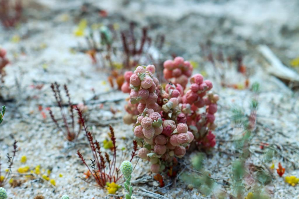
Atriplex holocarpaLake Brown
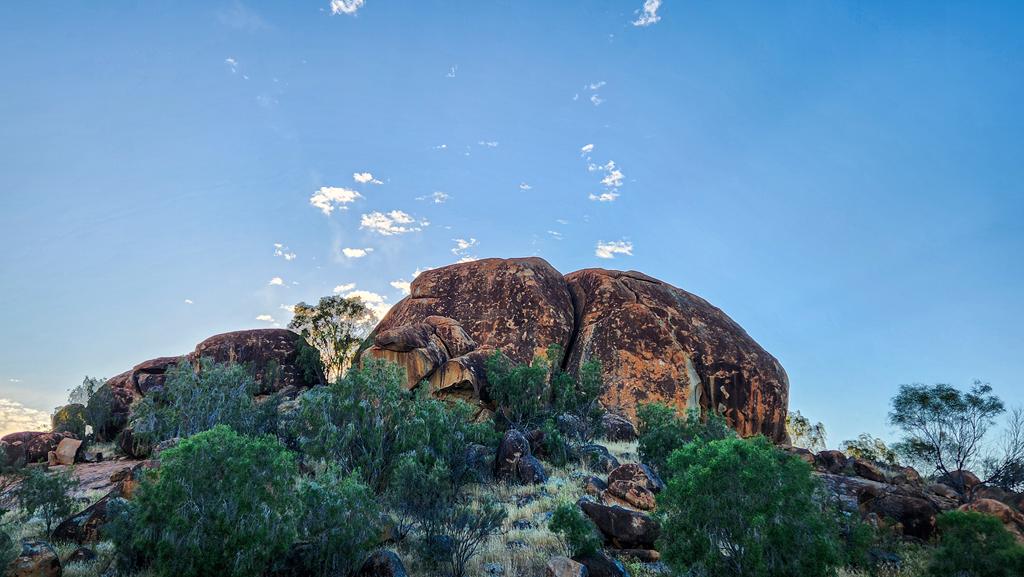
Overlooking Lake Brown is Eaglestone Rock. It is an unusually shaped granite outcrop that resembles a creature, although exactly what creature is open to interpretation. We think it looks like a turtle 😊.
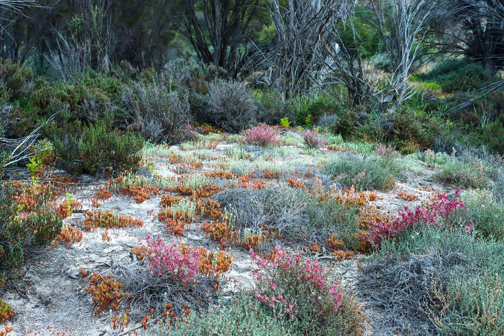
The rock sits within a nature reserve and provides beautiful views, particularly during wildflower season. Everlastings, including Orange Immortelle, Pink Paper Daisy, Brunonia australis, and Mulla Mulla, carpet the landscape and create a vibrant display of colour. Nearby Lake Brown complements Eaglestone Rock perfectly, adding to the area’s picturesque scenery.
Free camping is available at several sites around the rock. Facilities include a single drop toilet, picnic tables, and a few barbecue pits. There are no rubbish bins, so visitors should take all waste with them when they leave. We first visited in 2021 but came back in early October 2026 and actually camped there for a couple of nights.
Lake Brown and Eaglestone Rock are located 20km north east of Nungarin in the Wheatbelt region of WA and are accessed viaLake Brown South Road.
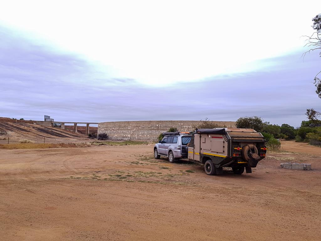
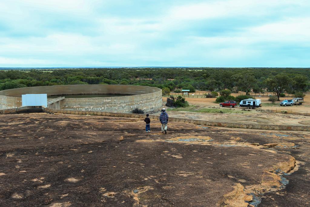
Beringbooding Rock, 65km north east of Mukinbudin in the Eastern Wheatbelt is an interesting place to visit. It is known for having the largest rock water catchment tank in Australia. Built in 1937, the water tank holds over two million gallons of water. There is a low wall around the perimeter of mostly flat rock that catches rain water and directs it to the tank.
The largest water catchment tank in Australia
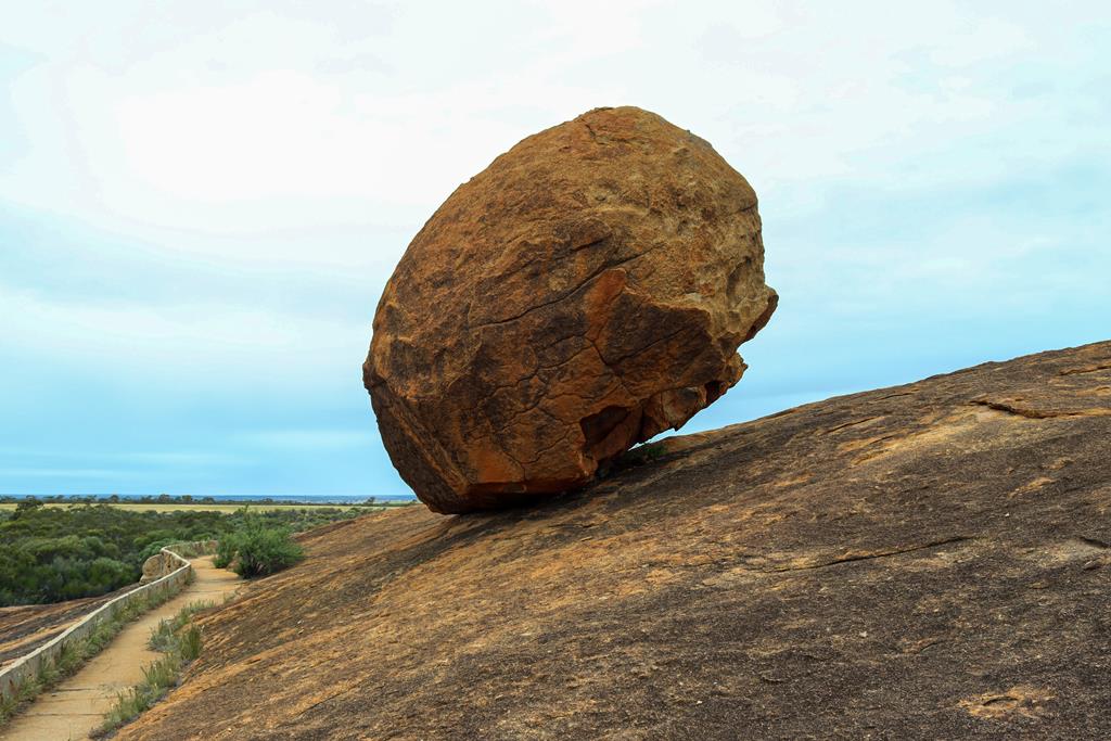
Apart from this water tank, there are other interesting things to see along 2.3km circuit route around and over the rock. I found the sight of an enormous balancing boulder very fascinating.
Balancing Boulder at Beringbooding Rock
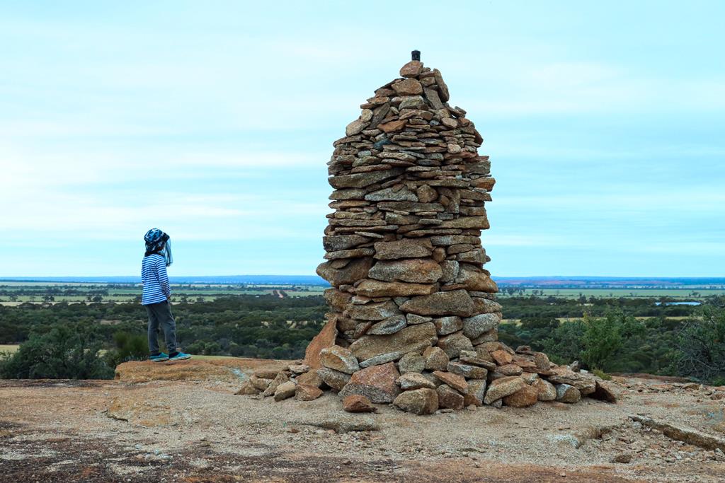
While I was busy taking pictures of the boulder, our kids spent time near the tall cairn. The youngest, Ilusha said that everyone who passed by, put a small rock to add to this tower. Logical thinking!
Cairn
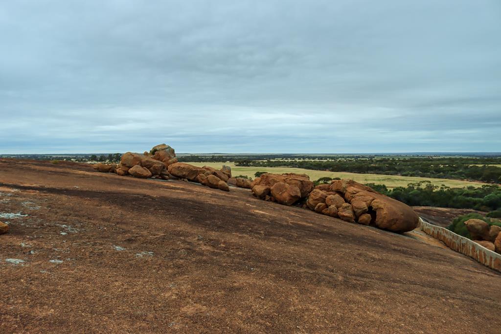
Among other attractions, there are some smaller rocky outcrops, a cave, a gnamma hole (natural water hole) and beautiful views of the surrounding country from the top of the rock. The walk over the rock is relatively easy. Shire of Mukinbudin has also provided picnic and free camping facilities with tables and flushing (!) toilet at the base of the rock.
Billiburning Rock is a fantastic free camping destination in the North Eastern Wheatbelt and one of the highlights along the Wheatbelt Way self-drive trail. Being 35km north of Beacon (the closest town), it is a bit out of the way and thus less popular than other rocks.
The rock itself is an impressive formation, featuring numerous granite boulders that provide plenty of opportunities for exploration. Climbing over and around the rocks is a fun way to stretch the legs and enjoy the landscape.
Camping at Billiburning Rock
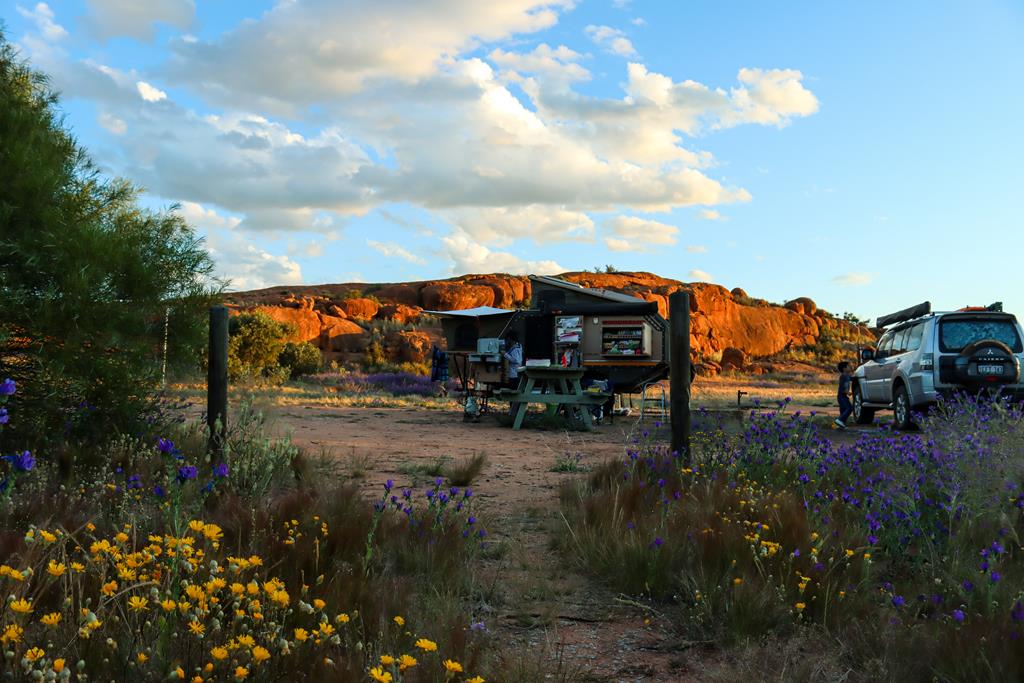
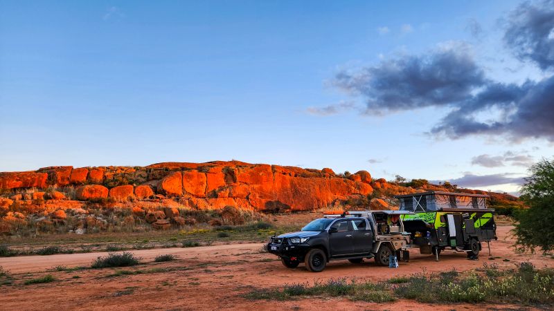
Billiburning Reserve has 3 camping sites, located at the base of the Billiburning Rock. The first one (Gecko Grounds) is an open space, suitable for large vans and caravans. To get to the second (Echidna Expanse) and third ones (Kangaroo Corner), you would need to drive around the rock. Each camping area has plenty of room for 5-6 vehicles and caravans, and likely more. A well-maintained toilet is conveniently located between camp areas 1 and 2, while picnic tables, fire pits, and rubbish bins are scattered throughout the reserve.
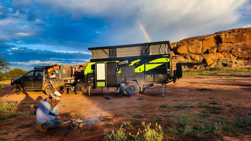
We camped at Billiburning Rock twice (in 2021 ad 2026) and both times stopped at Echindna Expanse site (number 2).
Flora and fauna
Located within Billiburning Rock Nature Reserve, the area comes alive with wildflowers during spring, making it especially beautiful at that time of year.
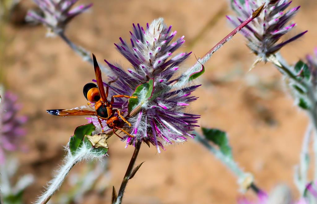
Arthropodium dyeriBrunonia australis Native CornflowerOrange immortelle Waitzia acuminataEremophilaMaireana georgeiSchoenia cassinianaPodolepsis aristataRhynchium wasp and Mulla MullaPtilotus gaudichaudii
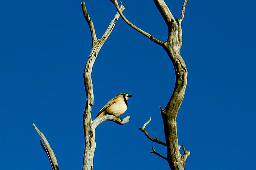
It is a great spot to observe wildlife.
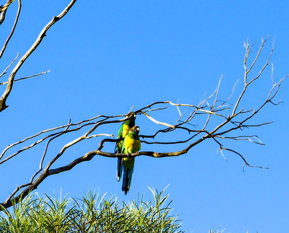
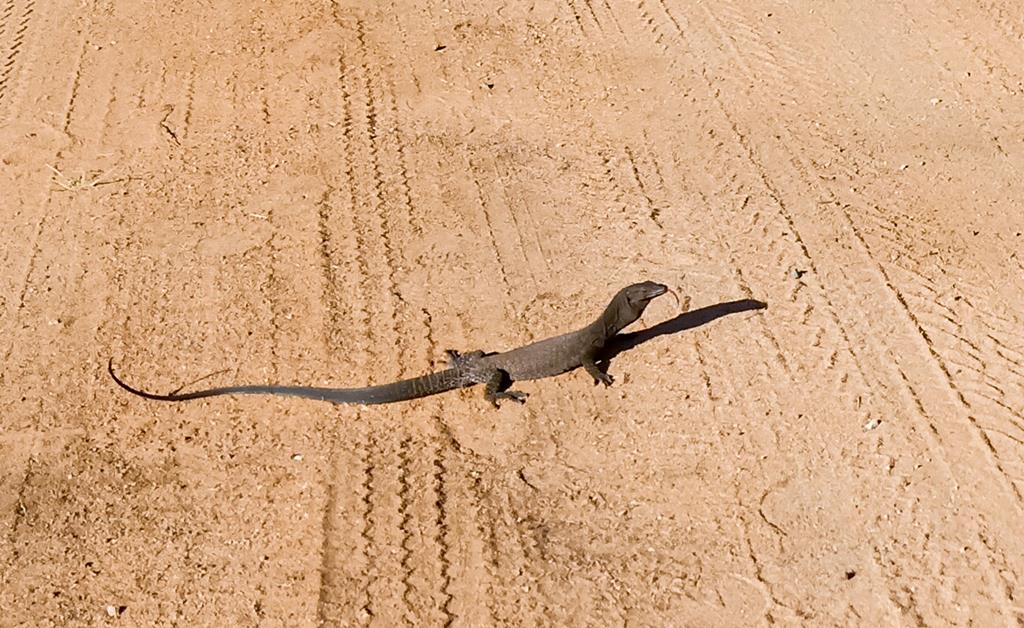
Australian ringneckBlack headed monitor
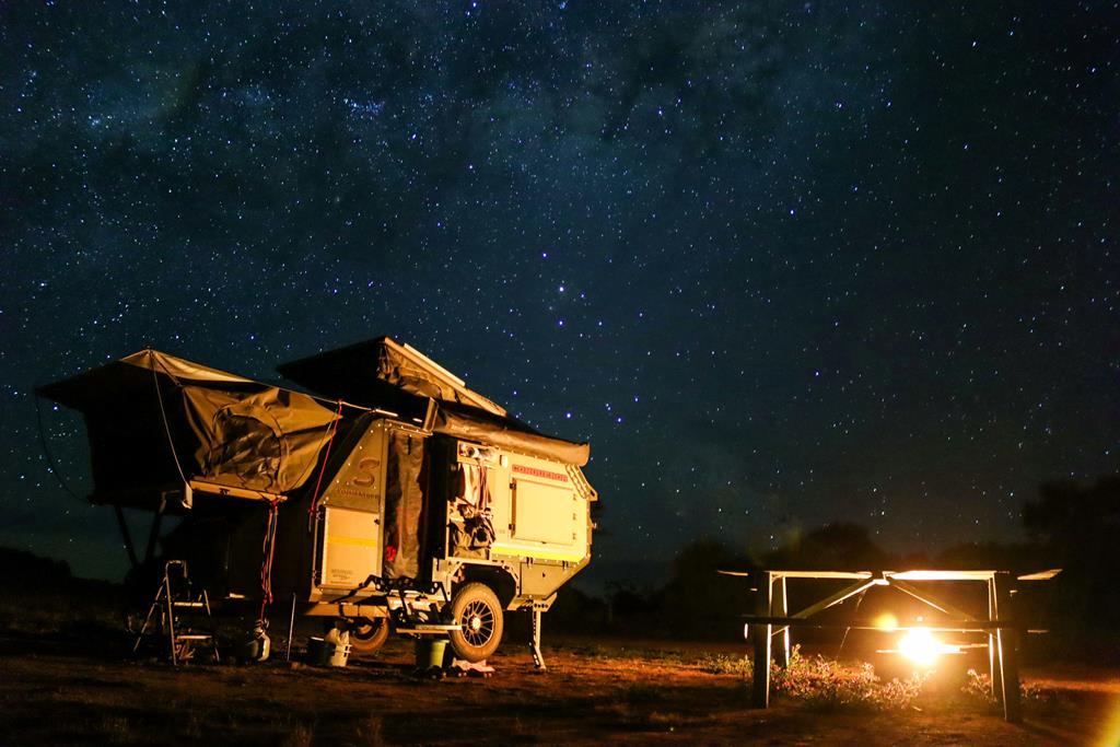
And of course, no camping experience is complete without a campfire cooked meal!
Millions of stars and the Milky Way is what you see in the outback at night.
Local attraction
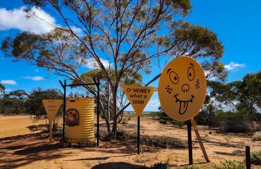
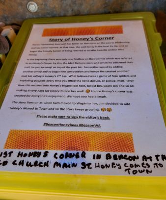
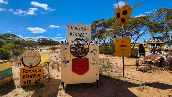
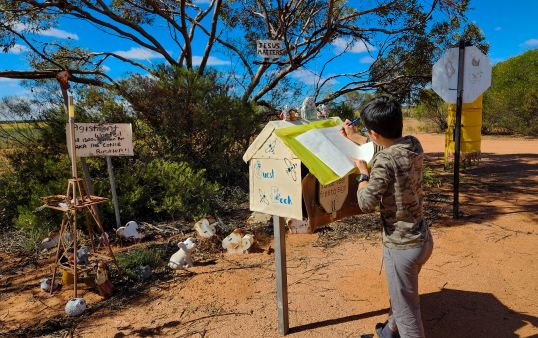
On the way to Billiburning Rock you’ll come across a local attraction called Honey’s Corner. It is definitely worth stopping to explore and read the story of how and why it all began. It’s quite an amusing read 😊. Don’t forget to sign the visitors’ book.
Located just a couple of kilometres from Billiburning Rock when approaching from the south, Honey’s Corner is hard to miss. Even the super-friendly ranger from the Shire of Mount Marshall reminded us to stop and take a look.
In conclusion
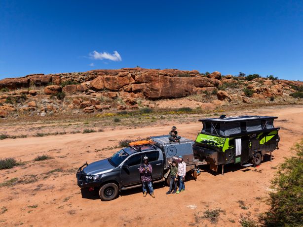
We love camping at Billiburning Rock and have stayed twice already (you’ll notice different setups), most recently at the end of September in 2026. It’s a peaceful, scenic spot, away from the crowds, that keeps drawing us back. 😊
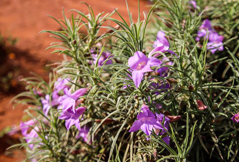
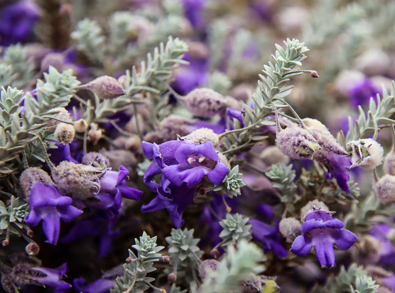
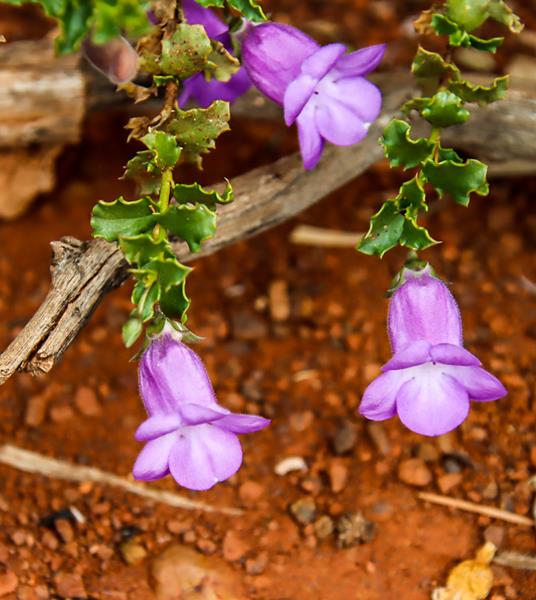
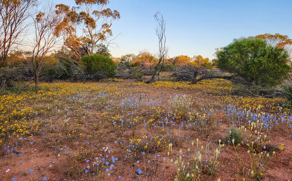
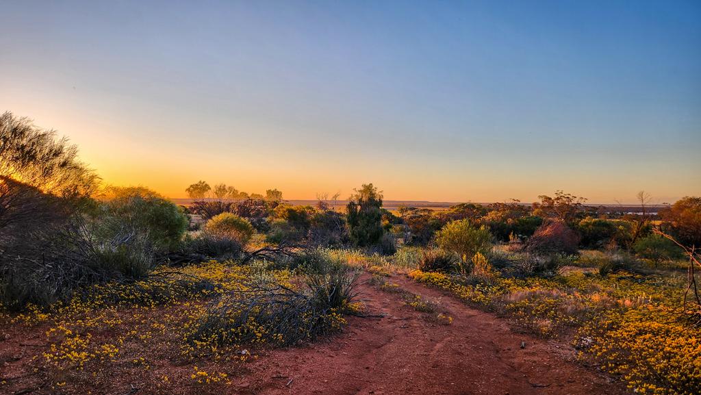
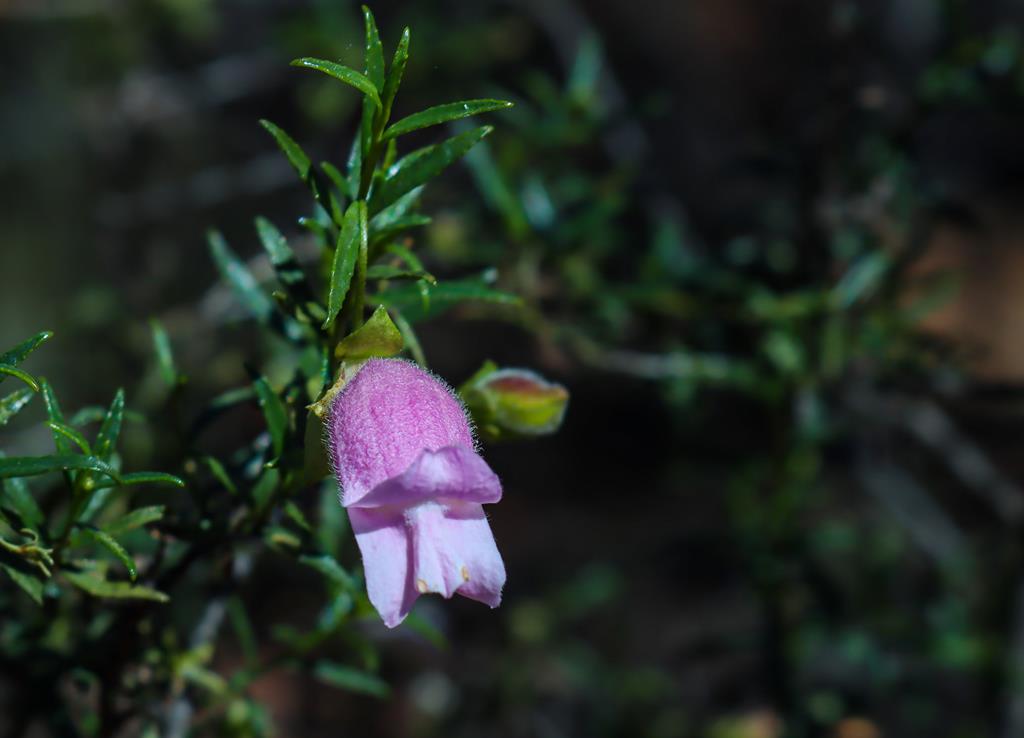
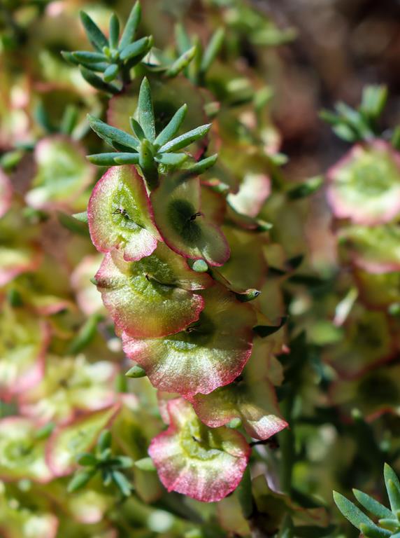
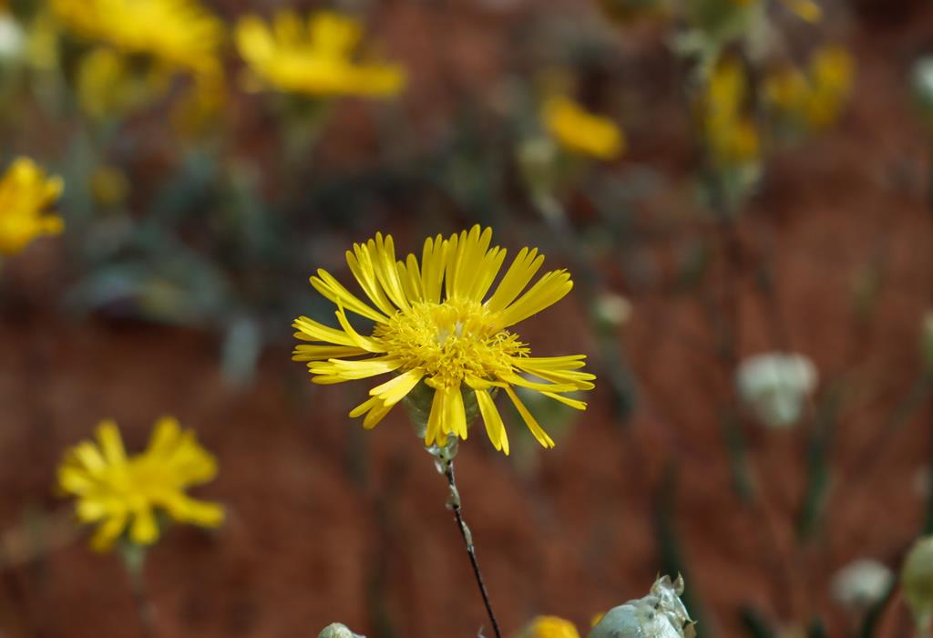
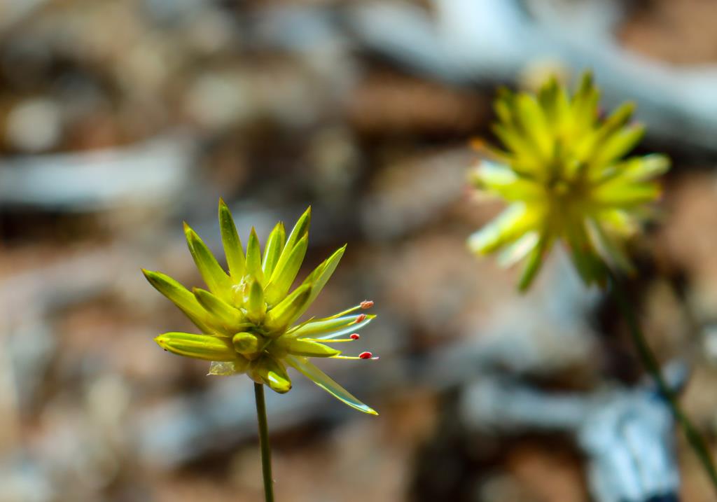
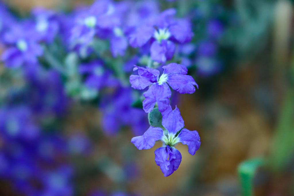
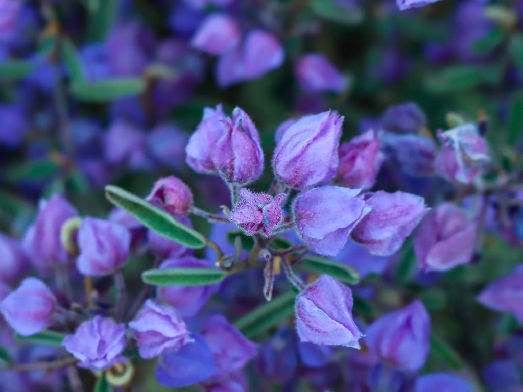
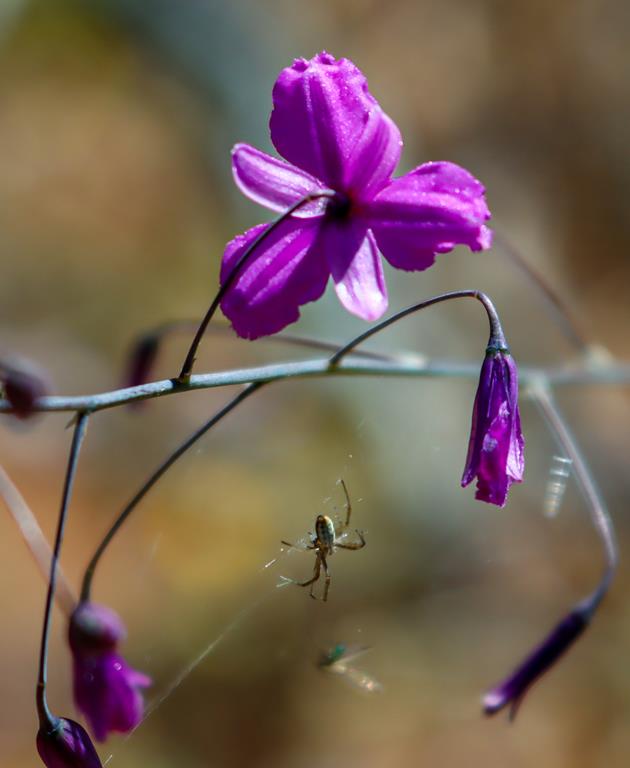
Can you find wildflowers along the road as you drive in the Wheatbelt? Yes! Sometimes there is no need to go and look for wildflowers specifically. As we drove from one rock to another in the Wheatbelt, we stopped frequently, each time spotting some wonderful and unusual wildflowers. Below is just a small selection of the wildflowers we have seen.
Photo at the top of the post – Glischrocaryon aureum.
Manage Cookie Consent
To provide the best experiences, we use technologies like cookies to store and/or access device information. Consenting to these technologies will allow us to process data such as browsing behavior or unique IDs on this site. Not consenting or withdrawing consent, may adversely affect certain features and functions.
Functional Always active
The technical storage or access is strictly necessary for the legitimate purpose of enabling the use of a specific service explicitly requested by the subscriber or user, or for the sole purpose of carrying out the transmission of a communication over an electronic communications network.
Preferences
The technical storage or access is necessary for the legitimate purpose of storing preferences that are not requested by the subscriber or user.
Statistics
The technical storage or access that is used exclusively for statistical purposes.The technical storage or access that is used exclusively for anonymous statistical purposes. Without a subpoena, voluntary compliance on the part of your Internet Service Provider, or additional records from a third party, information stored or retrieved for this purpose alone cannot usually be used to identify you.
Marketing
The technical storage or access is required to create user profiles to send advertising, or to track the user on a website or across several websites for similar marketing purposes.