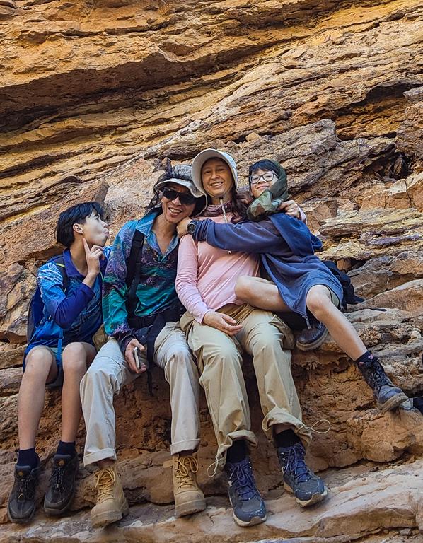
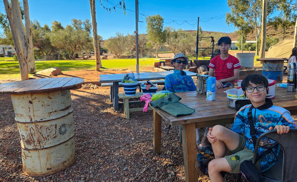
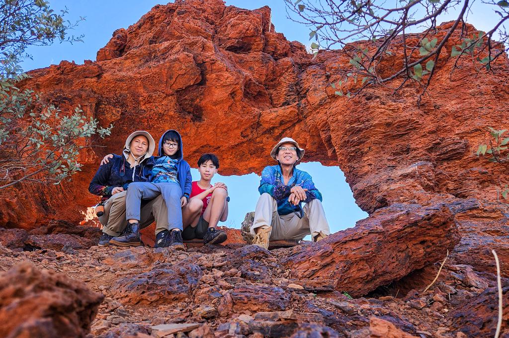
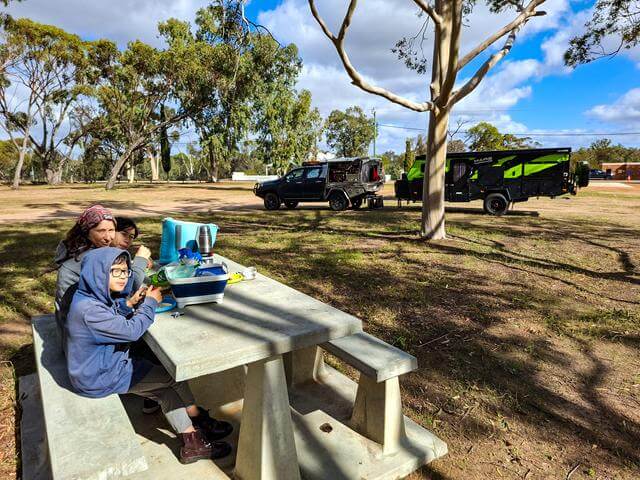
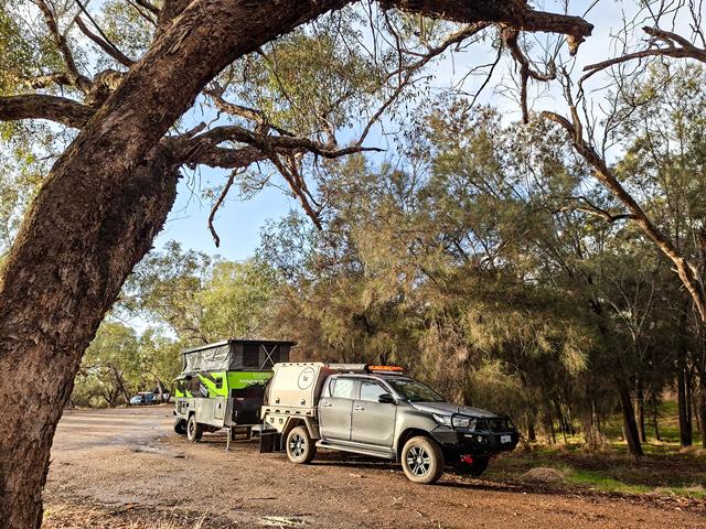
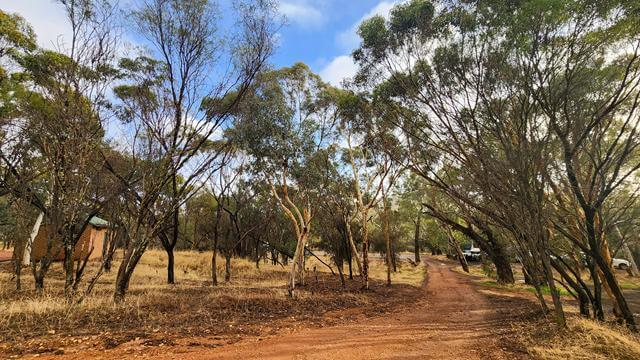
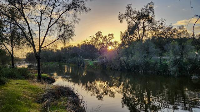
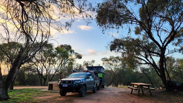
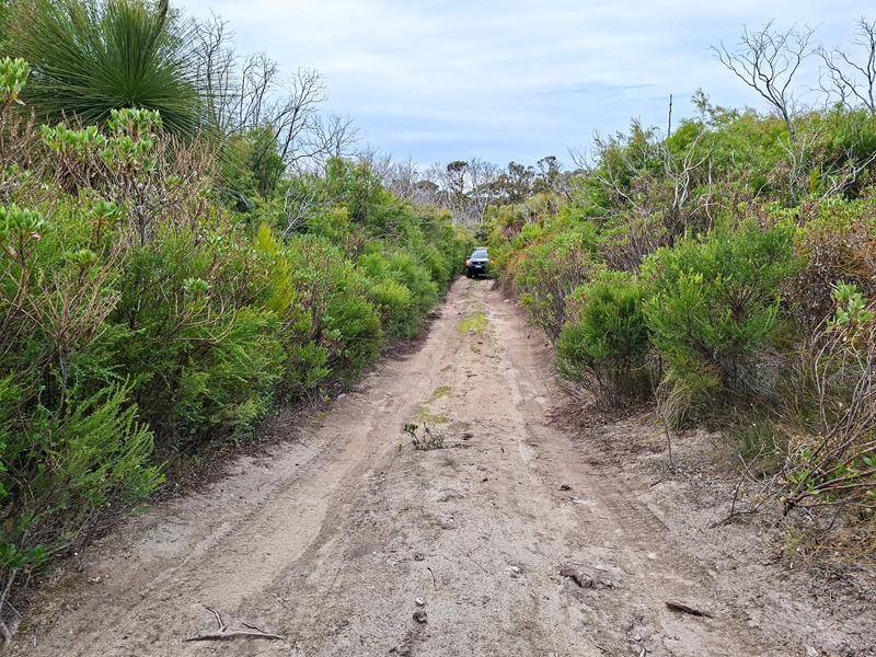
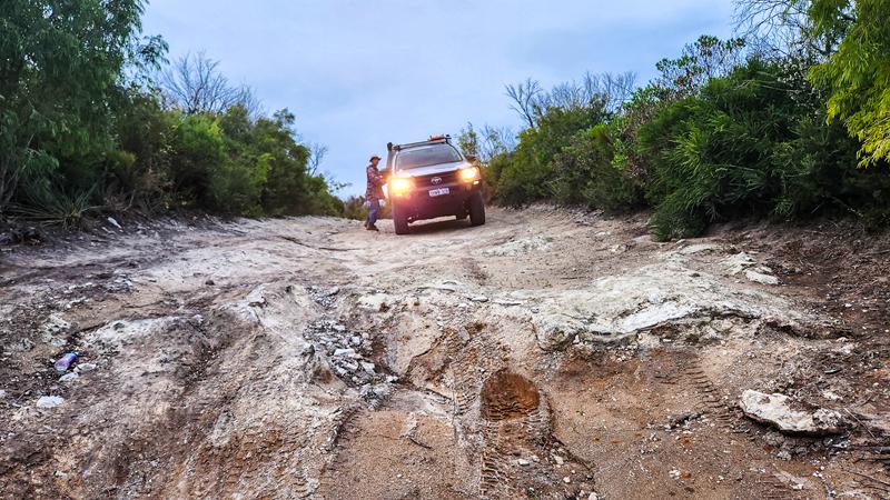
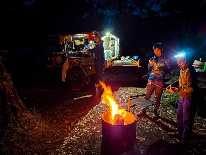
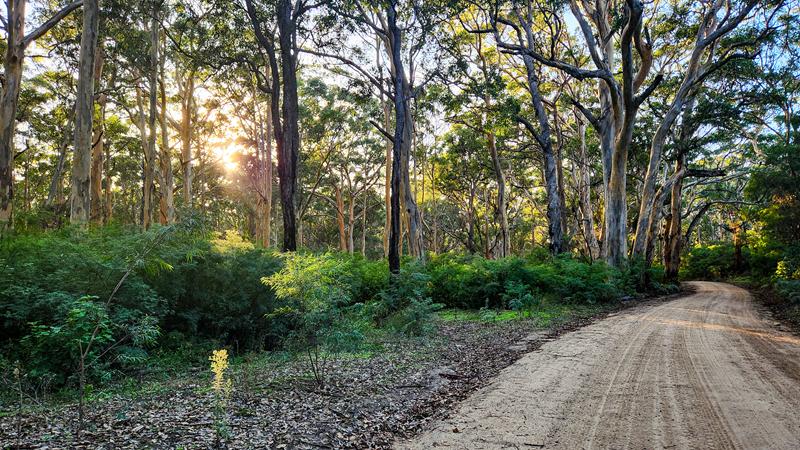
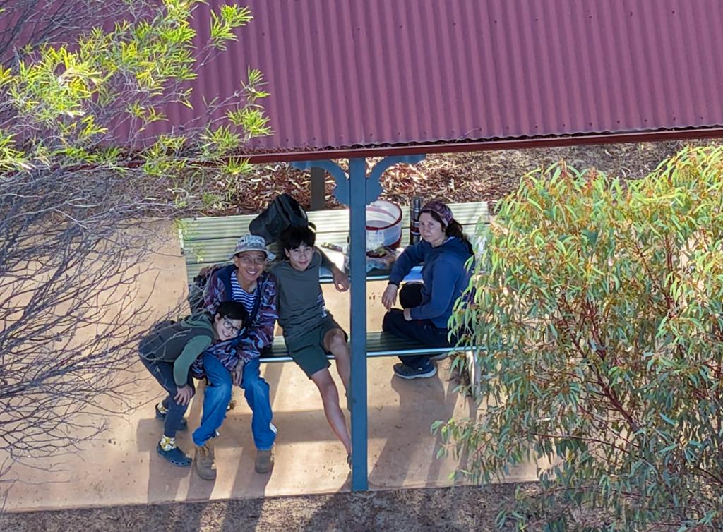
We are a family of four and are nuts about traveling. Our name reflects this! We love sharing the joy and love of traveling and adventure! Let's the fun begin!
We’ve had a few technical issues with the website recently. After doing some repair work and updates, we removed Jetpack — not realising that this would also stop email notifications from going out to our subscribers. Once we understood what had happened, Jetpack was reinstalled and the subscriber list returned. So if you haven’t heard from us for a while, that’s the reason, and this message is just a little update to reconnect.
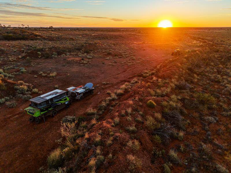
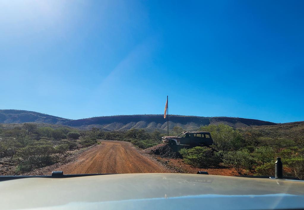
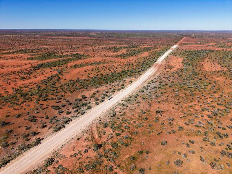
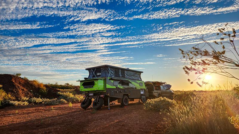
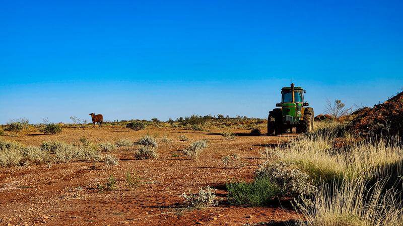
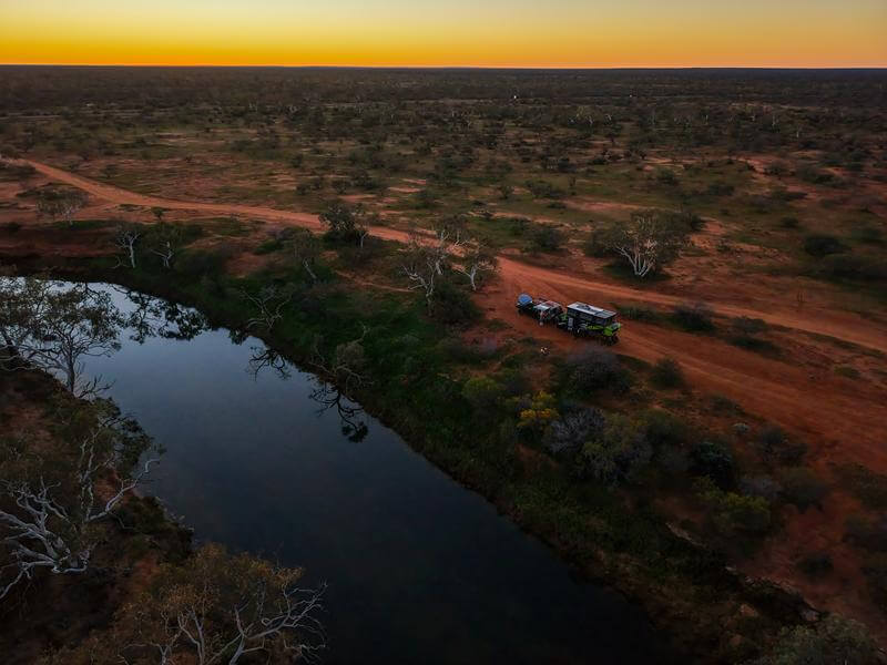
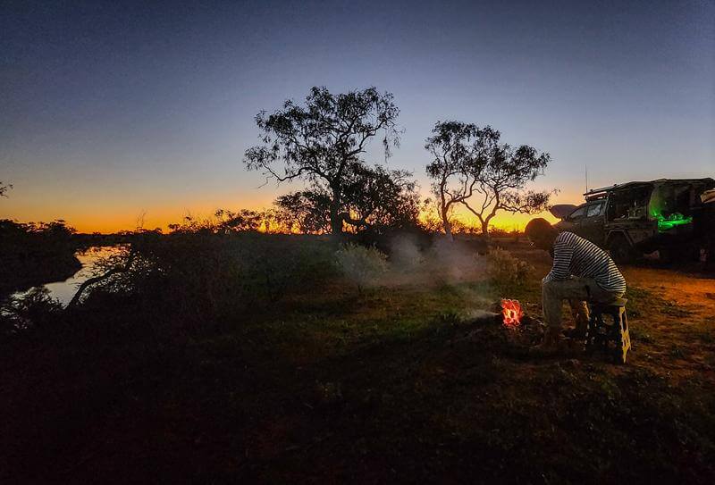
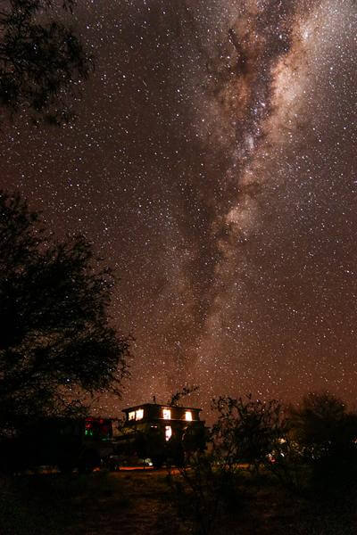
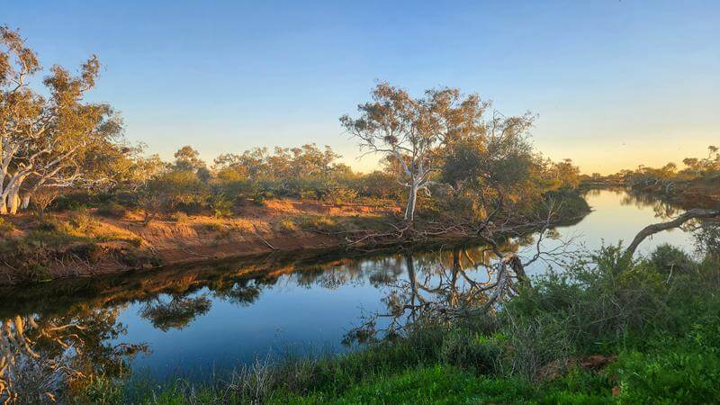
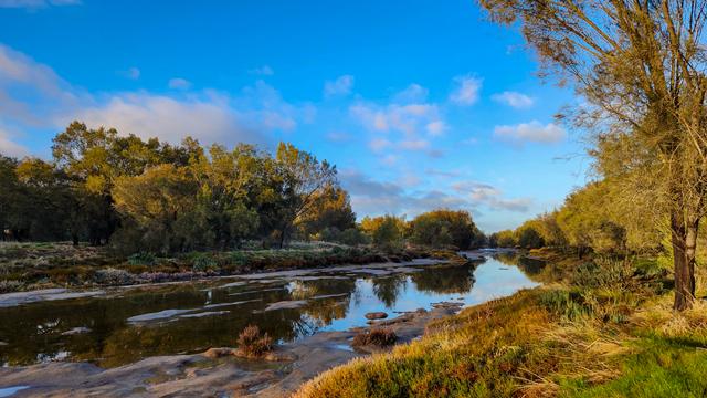
We’ve continued travelling, mostly during school holidays and public holidays. In July we spent two weeks in the Pilbara, with Cheela Plains Station as our main destination. It was a wonderful stay (even if not the cheapest), and the journey itself was just as memorable. We travelled through the Outback along the Wool Wagon Way, stopping at a few favourite free camps — including Bilung Pool, which we’ve visited before, and Ballinyoo Bridge — enjoying the solitude and quiet beauty of the landscape.
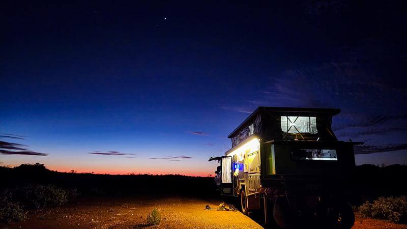
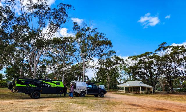
We also upgraded our caravan which you can see from our posts. This new caravan while being a bit bigger allows us to be fully self-sufficient.
There were a few more camping trips in September and October, and we’ll share those stories in the next post.
In the meantime, drop us a quick line so we know you’re receiving this update.
Cheela Plains Station in the Pilbara is a wonderfully remote stop along the Nanutarra–Munjina Road, about halfway between Paraburdoo and Tom Price. The country here is shaped by ancient geology more than two billion years old. The red rocks and iron‑rich ranges show the deep age of this landscape.
Accommodation at Cheela Plains
Cheela Plains offers two styles of accommodation. There is the main caravan park with full amenities—showers, toilets, laundry, camp kitchen. For more adventurous visitors, there are the wilderness camps located about 30 minutes away.
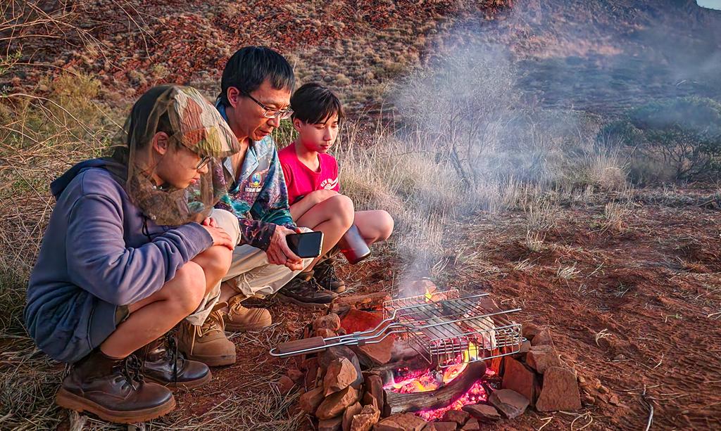
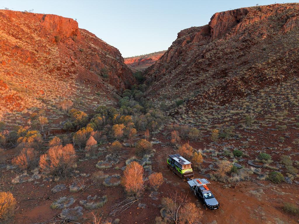
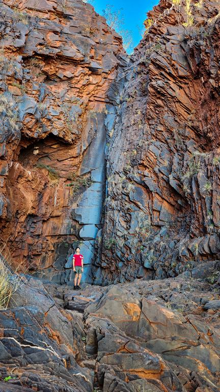
We chose the wilderness experience and stayed at Wilderness Fad’s Bush Camp, a secluded site tucked at the base of an ancient little gorge with sweeping views in every direction. Our nearest neighbour was far enough away that it truly felt like we had the place to ourselves.
Although the site itself has no amenities, we could still use everything at the main campground, which made the stay comfortable. The three nights cost us $243, and for the remoteness and the sense of being on a real station property, it was absolutely worth it.
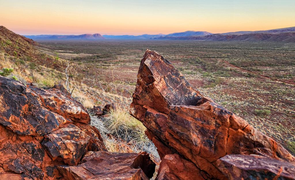
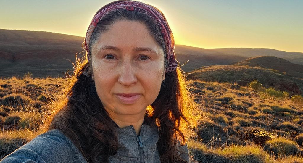
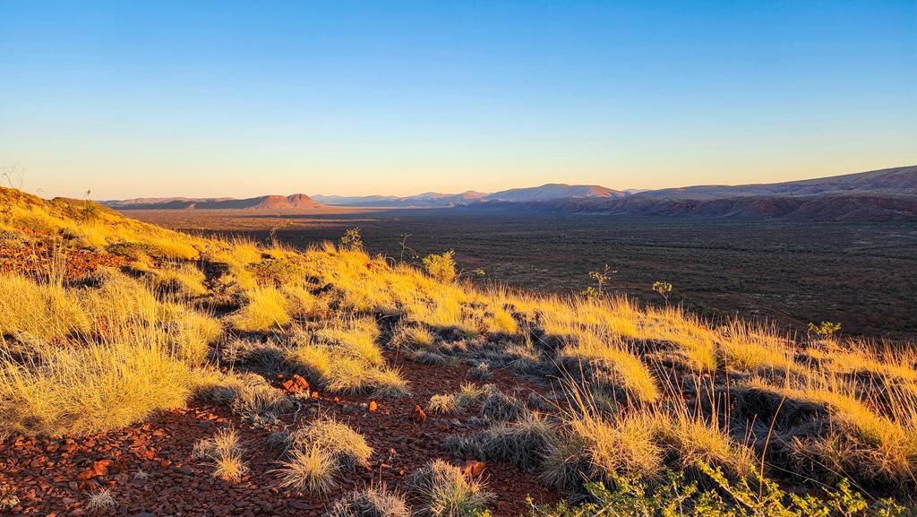
While staying at Cheela Plains wildnerness camp, I took the opportunity to climb the gorge early morning while everyone else was still sleeping. It was a good workout, but I liked it. I made it just in time to see the sun rising above the horizon. The solitude, the views of the surroundings and tranquility were awesome. I also loved watching the spinifex grass and the rocky hills in the distance transform as the sun rose and cast their rays on them.
Ancient geology at Cheela Plains
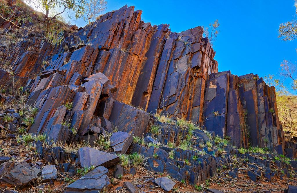
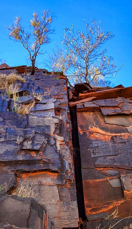
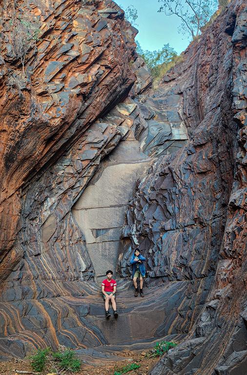
During our stay we had private access to our own gorge and could explore several others around the station. The colours were incredible — banded iron formations, scattered quartzite, and warm red tones from oxidised rock. Everything looked almost magical. At sunset the rocks revealed even more depth, glowing intensely under the rays of the setting sun.
In conclusion
It was a memorable trip, that we’ll remember for a long time. We highly recommend the wilderness camps for anyone who is self‑sufficient and travelling with an appropriate vehicle and van. A 4WD is a good idea due to the rough terrain.
The Wool Wagon Pathway is an iconic self‑drive heritage route in Western Australia. Beginning in Geraldton, it travels inland through the Murchison and Gascoyne regions before reaching the northwest near Exmouth. The route follows the old stock trails once used to move wool from remote pastoral stations to the coast. Today, it offers a quiet journey through red‑earth landscapes, wide horizons and long, uninterrupted stretches of road.
What to expect
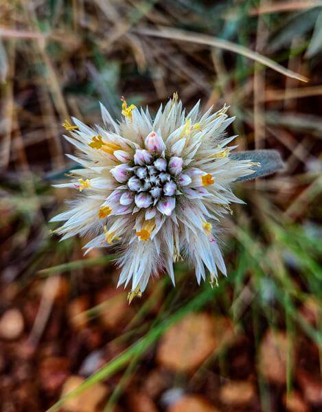
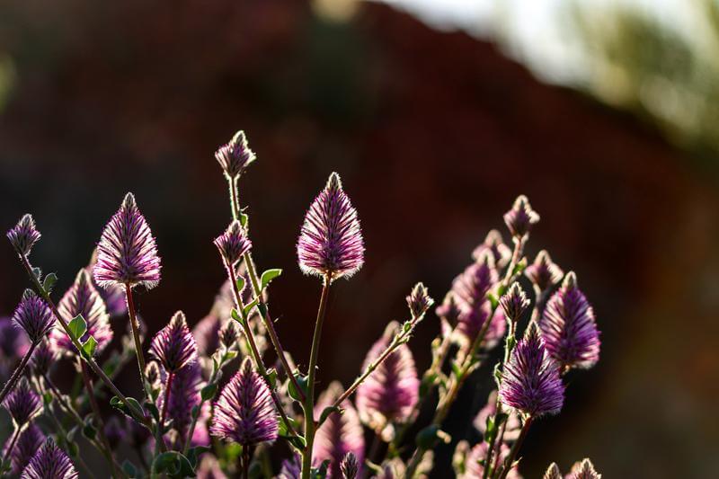
Along the way you’ll pass breakaway formations, dry riverbeds and vast open plains. From late winter into spring, seasonal wildflowers brighten the drive, with the wreath flowers near Pindar being a standout.
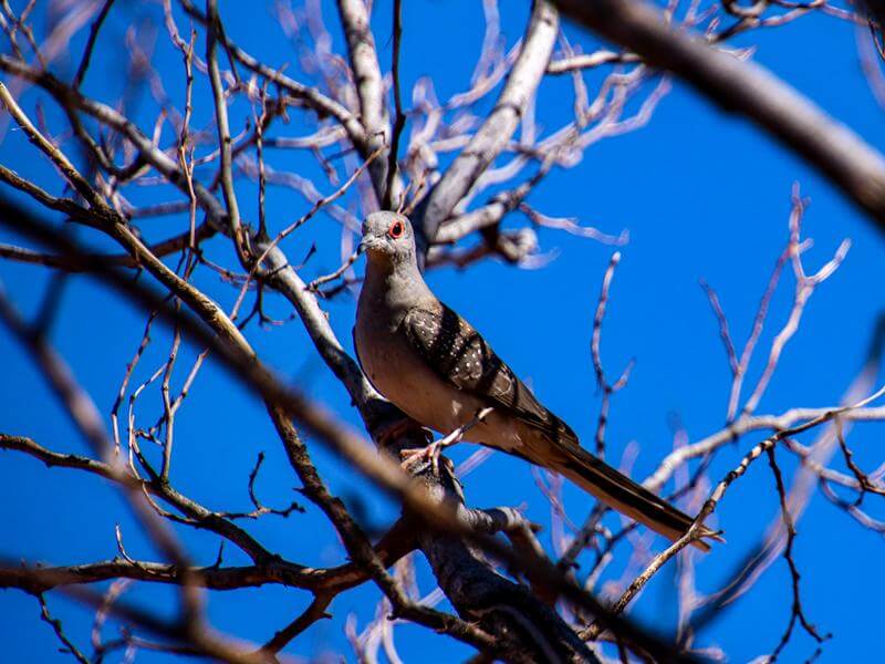
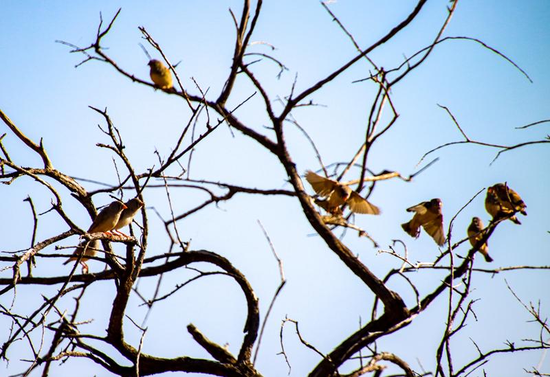
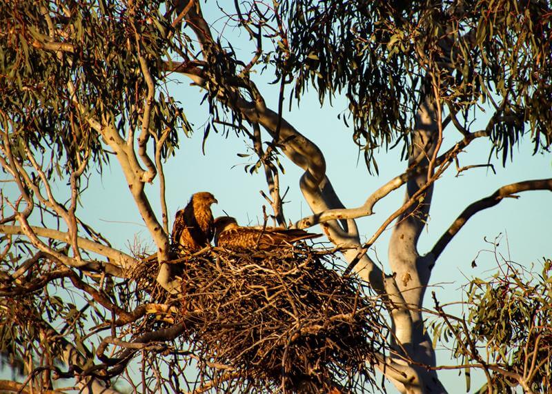
Bird lovers will enjoy spotting flocks of finches, robins and diamond doves across the open country.
Facilities and services
Towns are small and widely spaced, so planning ahead for food and fuel is essential. Our fuel stops were Gascoyne Junction, Murchison Settlement and Mullewa. Potable water is available at Gascoyne Junction. We relied on our own food supplies for most of the trip. A quick stop in Mullewa confirmed that shop options can be extremely limited.
Where to stay
Station stays and caravan parks are available along the pathway. Being self‑sufficient, we prefer quiet bush locations, and whenever we find a suitable spot, that becomes home for the night.
Who this drive suits
If you’re a social traveller who enjoys meeting people and visiting numerous attractions, this may not be the route for you. With small settlements, minimal traffic and expansive night skies, the Wool Wagon Pathway offers a slow, spacious experience of the outback. The real outback can be harsh and unforgiving, yet deeply soothing, beautiful and soul‑enriching — and that’s exactly why we love it.
Highlights along Wool Wagon Pathway
There are several interpretive sites scattered along the pathway. We didn’t stop at all of them, choosing only those that interested us. We previously travelled the Carnarvon–Mullewa Road in 2022 when visiting the Kennedy Ranges and Mount Augustus. The Kennedy Ranges are a major highlight and well worth a few days of exploration. The Carnarvon–Mullewa Road, which forms part of the Wool Wagon Pathway, includes places such as Bilung Pool, the Greenough River Gorges and Ballinyoo Bridge. At the southern end, Geraldton is a destination in its own right, with Ellendale Pool being a lovely stop. At the northern end, Exmouth offers an abundance of activities and natural attractions.
Ballinyoo Bridge is a historically significant river crossing in Western Australia, known for its engineering and pastoral history. It sits on the Carnarvon–Mullewa Road, about 80 km south of the Murchison Settlement, spanning the Murchison River. It is also part of the Wool Wagon Pathway.
Ballinyoo Bridge history
Built between 1929 and 1930, it was the second concrete bridge constructed in Western Australia and for many years remained the oldest concrete bridge still in use. The bridge played an important role in transport and communication across the remote Murchison district, especially during floods when other river crossings were impassable. Because of this, it is recognised as a site of high historic significance.
In September 2016, a new bridge was built to replace the original structure, with parts of the old bridge preserved as a heritage feature.
Camping area
Today, Ballinyoo Bridge is a popular free bush‑camping spot on both sides of the river. The north side is often preferred, offering quiet surroundings, easy 2WD access and plenty of bird life. There are no facilities, but it’s a peaceful and scenic place to stop.
We stayed here for one night in July and really enjoyed the tranquility of the area.
Discover the best free camping and RV‑friendly overnight spots across the Avon Valley. A quick guide to peaceful riverside stops, bush settings and convenient rest areas we’ve explored in the region.
Beverley
We always enjoy stopping in Beverley, especially for its beautiful nature reserve where I regularly check on the orchids. Like many small Avon Valley towns, Beverley offers a 24‑hour RV stop, and we’ve found it to be a peaceful, welcoming spot in a quiet township. You can stay for up to 72 hours, and the area is well set up with picnic tables, toilets, shelters and bins. It’s an ideal stop if you’re self‑sufficient and want to explore the Avon Valley or Beverley itself. With its gliding club and growing astrotourism scene, the town has more to offer than you might expect from a small outback community.
Northam
Katrine Crossing Campground (also known as Katrine Viveash Reserve) is a lovely free camping spot in the Avon Valley, just 10 minutes from Northam and right off the Northam–Toodyay Road. The campground itself is a simple clearing among the trees, but the setting on the banks of the Avon River makes it feel special. Facilities are great for a free site — flushing toilets, water, picnic tables and good mobile reception. Some areas are a bit tight for caravans and not all sites are level, but we still found a comfortable spot for the night.
It’s an excellent overnight stop when exploring the Avon Valley. Just keep an eye out for the turn‑off, especially in the dark — it’s easy to miss! The entrance is just before Katrine Road, if you travel from Northam.
York
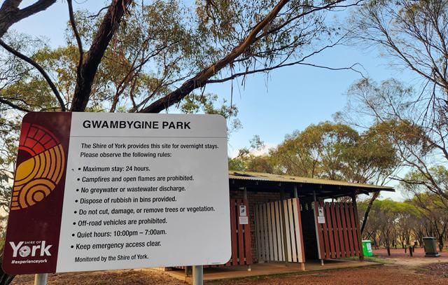
If you are looking for a free camping spot near York, we recommend Gwambygine Rest Area. It is 10km, south of York, and it is very lovely. The campground is spacious and set right along the Avon River Ascent, giving it a peaceful, scenic feel.
Facilities are great for a free overnight stop — flushing toilets, picnic tables, BBQs, shelter, bins and water, and it’s pet friendly too. The only downside is that fires aren’t permitted, but with the rain during our stay, we wouldn’t have had one anyway.
There’s a 24‑hour limit, which makes it perfect for a quick stop while exploring the Avon Valley region. It’s also very easy to find, located just 11 km south of York on Great Southern Highway.
A simple, convenient and comfortable place for an overnight stay.
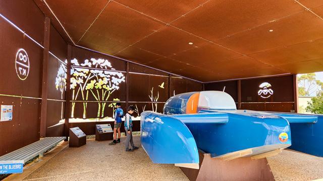
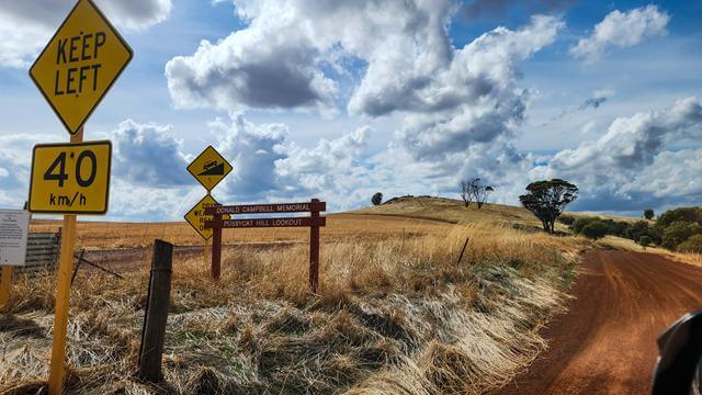
Dumbleyung, like many Wheatbelt towns, is steeped in history. This South Wheatbelt community is known for two standout features. One is Lake Dumbleyung. The other is the Blue Bird — the speedboat in which Donald Campbell set a new world water‑speed record on Lake Dumbleyung in 1964. To this day, he remains the only person to break both the World Land Speed Record and the World Water Speed Record in the same year.
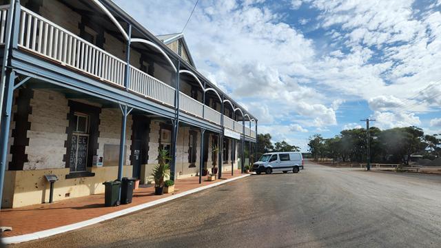
As we drove through town, we noticed a sign in the window of the local pub offering free camping, along with free showers and toilets. It sounded like an incredibly generous deal. We assume the idea is that you buy dinner or at least a drink in return. We didn’t try it ourselves, but definitely made a mental note. If you’re passing through and need an overnight stop, it’s worth checking out.
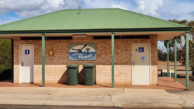
And of course, the “Dunny” sign caught my eye — not every loo comes with its own painted artwork 😊.
Lake Dumbleyung
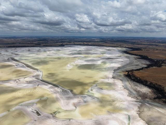
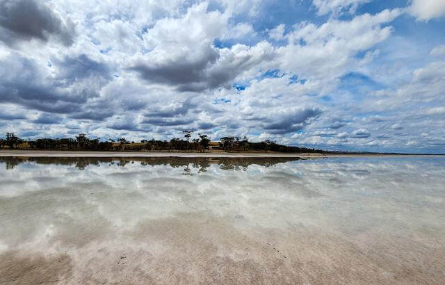
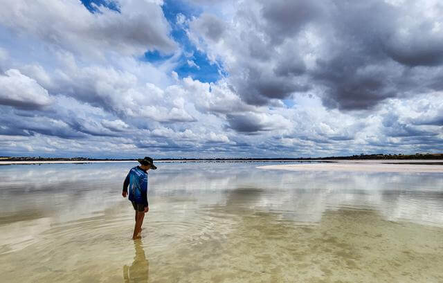
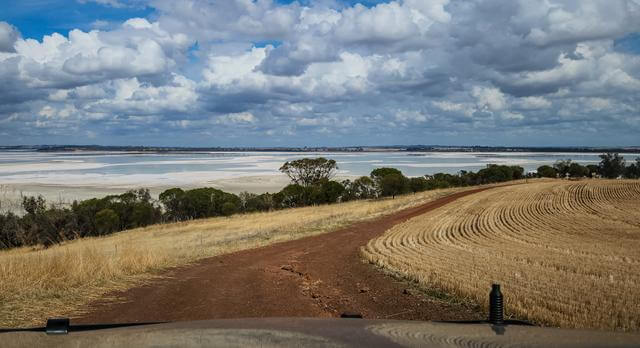
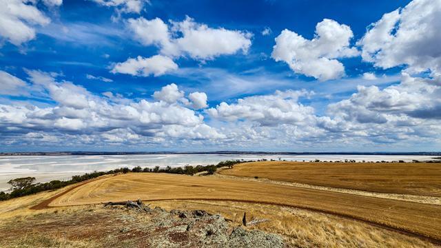
Lake Dumbleyung is the main attraction in the town that shares its name. It’s the largest natural inland lake in Western Australia, and its water levels shift dramatically depending on seasonal rainfall. Because the lake is so vast, its depth varies too. Some sections remain as salty flats, while others hold substantial water. In good years, the lake can reach depths of around 4.5 metres. Fittingly, the name Dumbleyung comes from the Aboriginal word dambeling, meaning “large lake”.
Today, most of Lake Dumbleyung is protected as a nature reserve, supporting local wildlife. When water levels allow, parts of the lake are also used for recreational activities. Visitors will find excellent picnic facilities, including toilets, tables, and non‑drinking water. Camping isn’t permitted, but it’s a lovely spot to stop for a picnic.
While the picnic area sits at the lower end of the driveway, a short climb leads to Pussy Cat Hill Lookout and the Donald Campbell Memorial.
From the top, you’re rewarded with sweeping views across the lake and surrounding landscape.
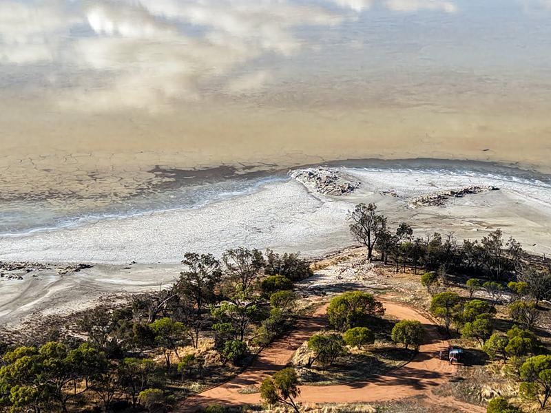
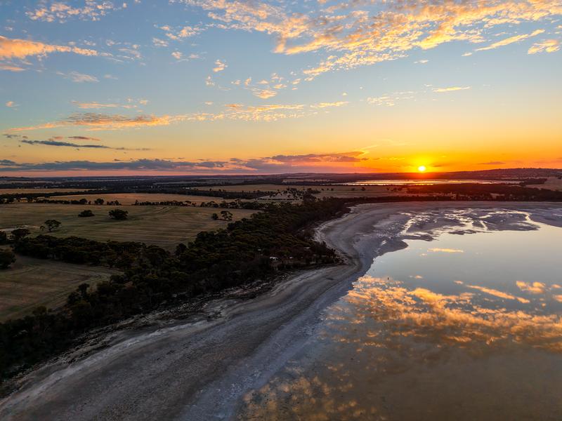
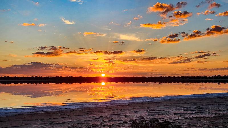
Queerearrup Lake is a peaceful picnic and free‑camping area between Wagin and Woodanilling in the Great Southern Region of WA. It was once a favourite local spot for water‑skiing and swimming but now it is too shallow for these activities. Nevertheless, it is a beautiful lake, which turns into absolute magic during sunrise and sunset.
Camping and picnic at Queerearrup Lake
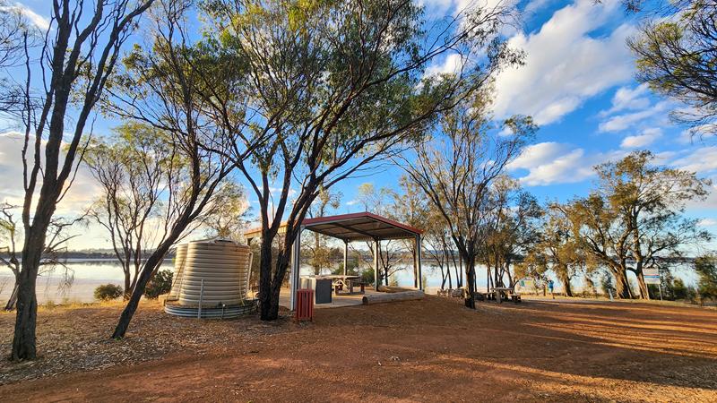
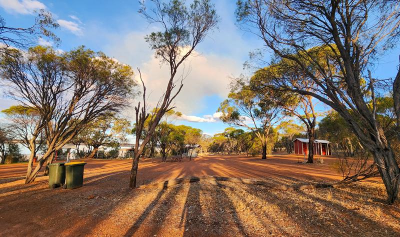
The facilities at Queerearrup Lake are excellent and include toilets, BBQs, shelters, picnic tables, non‑drinking water and bins. The main camping area is quite small and better suited to caravans, trailers or rooftop tents, as there’s not much privacy for ground tents.
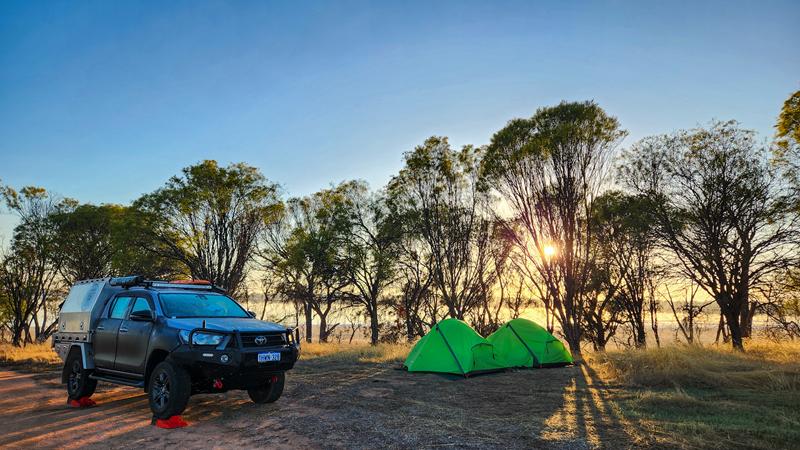
We ended up finding a lovely clearing about 500 metres further along, right on the edge of the lake, and stayed there for two nights over Easter in 2026.
Being so close to the water and watching both sunrise and sunset over the salt lake felt incredibly special.
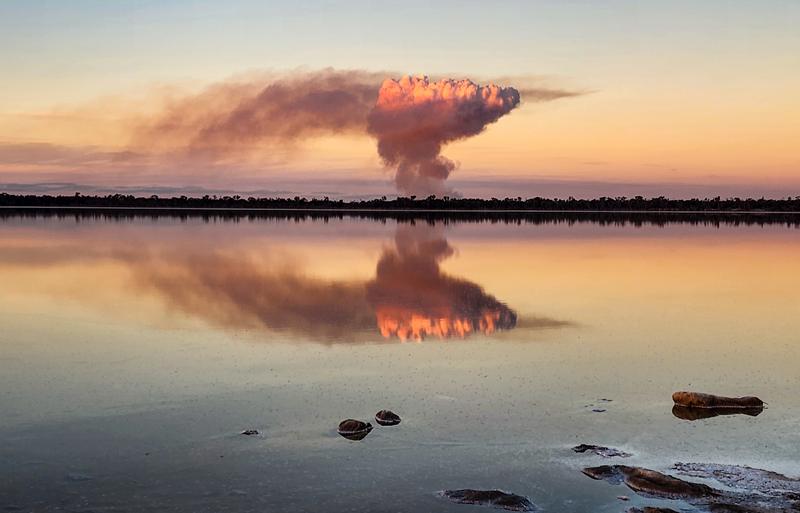
During our stay at the lake, we watched nearby farmers carrying out stubble burning. As the smoke drifted across the landscape, it created a striking effect — its soft haze was mirrored perfectly on the still surface of the lake.
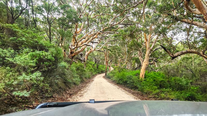
Boranup Karri Forest Drive is one of Australia’s most striking forest experiences. It is part of Leeuwin-Naturaliste National Park and Margaret River region in the South West of Western Australia. The towering karri trees, with some of them reaching 60 metres, create a serene atmosphere. Following Caves Road and the adjoining Boranup Drive is a sensory delight. Check out this short reel. Boranup Lookout is a great place for a picnic or just a rest stop and is easy to get to.
Boranup Drive itself is unsealed but well maintained and easily manageable in a 2WD.
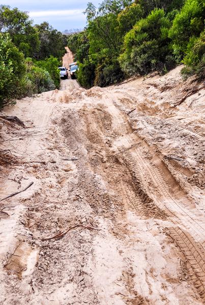
Beyond it, however, numerous side tracks branch off into the forest, and those are strictly 4WD territory. Some are soft and sandy, others so narrow that pin stripes are unavoidable.
We had our share of adrenaline recently exploring a few of them. Our aim was to get to Boranup Hill Lookout (different from Boranup Lookout) but we had to turn back as it was getting dark and we were still nowhere near the destination. Here is a short reel about the drive.
Boranup Campground
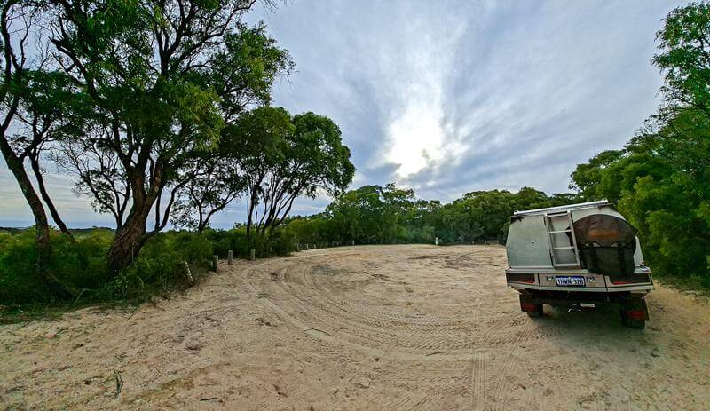
We spent two relaxing nights at Boranup Campground in Leeuwin–Naturaliste National Park over the ANZAC Day long weekend. It’s a tiny campground with only seven sites, each spaced far enough apart to feel private. The setting in the karri forest is beautiful, and we loved having our own fire ring and table at the site. We even had a possum visiting us at night, which was fun to watch :).
The only downsides were the uneven ground (a small issue if you’re tenting 😊) and the road nearby. It was quiet at night, but once the light came up, a few cars started passing. We also checked out Jarradene Campground. It’s much larger and has great facilities with sinks, BBQs, shelters and bins. But it’s pricier, and the sites felt more open and close to the driveway. Even with its quirks, Boranup would still be our pick. The campground is managed by DBCA and needs to be booked online.
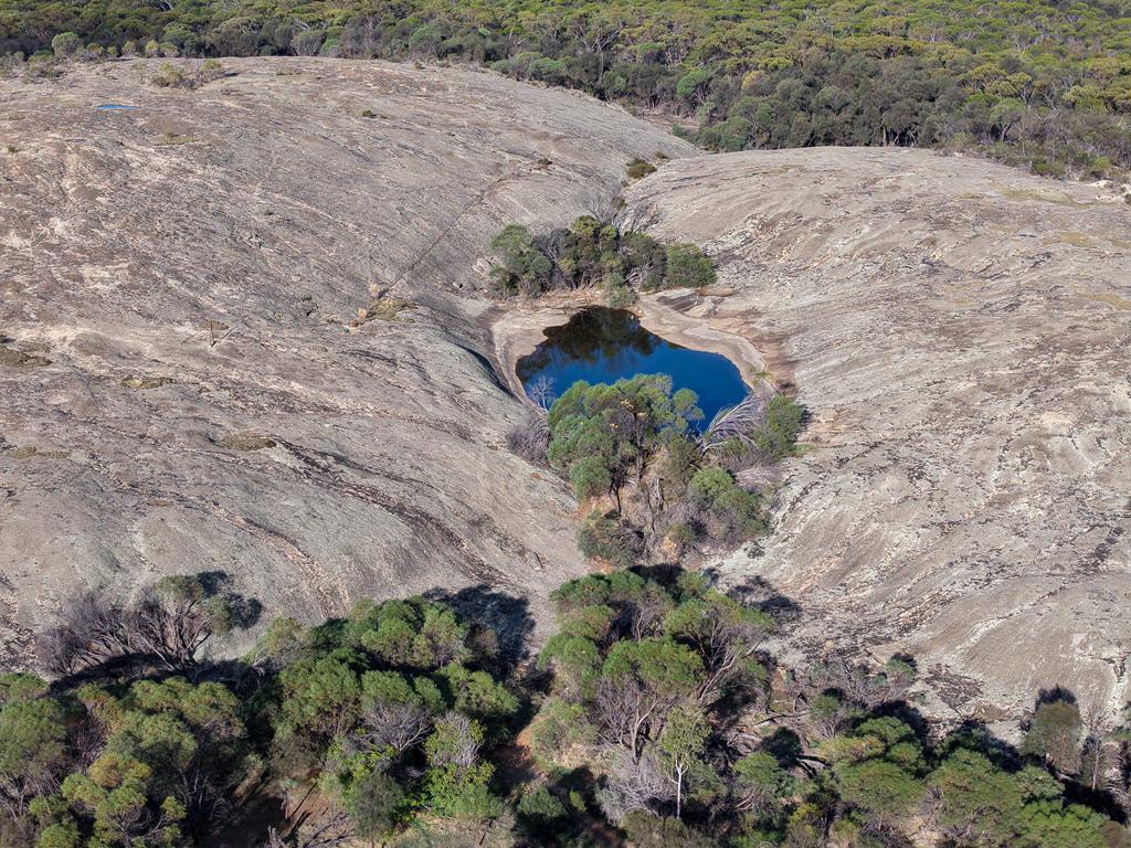
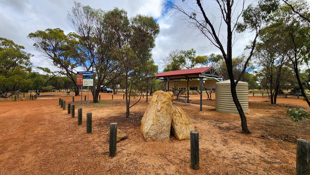
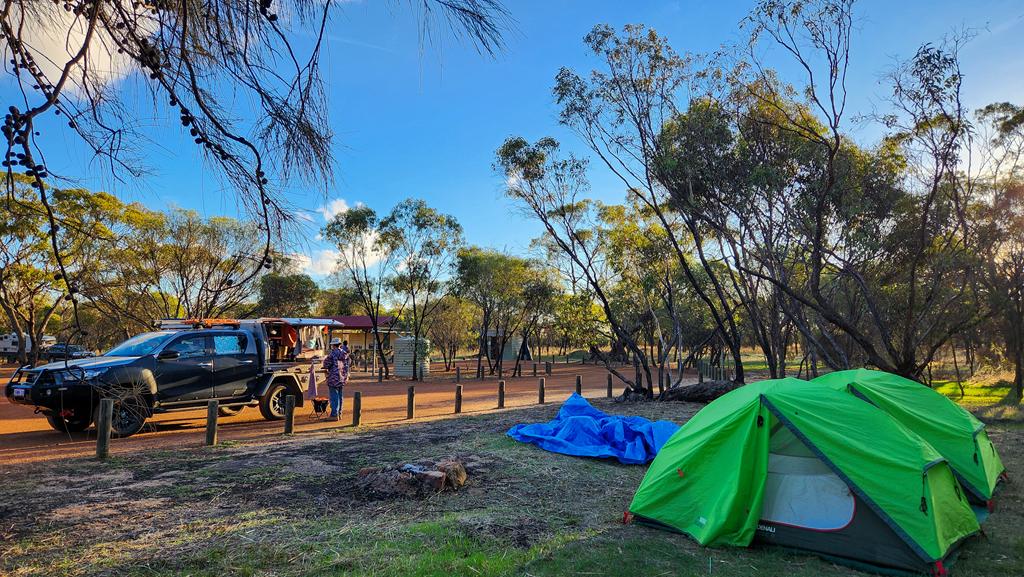
Gorge Rock Reserve is a peaceful spot with free camping and a pleasant picnic area, 20 km east of Corrigin in the Central Wheatbelt. Facilities include a clean drop toilet, shelter, non-drinking water and picnic tables.
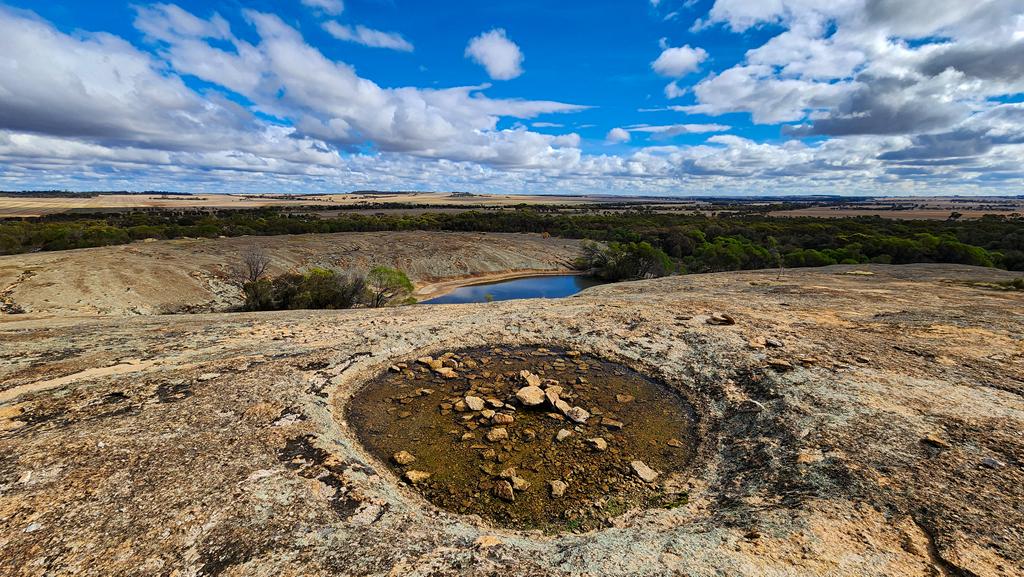
The actual Gorge Rock sits a short distance from the campground. The rock forms part of a dam that once served as the local swimming pool, before the Olympic‑size pool was built in Corrigin. That pool was built by local farmers, was drained every year, allowing winter rain to fill it up again. Locals still fondly and proudly tell visitors stories of the old days. The information boards tell the history of the place too. You can’t swim in the dam today, but it’s a lovely place for a walk, with tracks leading around and over the rock.
Gorge Rock Reserve makes an easy, comfortable overnight stop — or a longer stay if you want to explore more of the surrounding area.
Nearby attractions
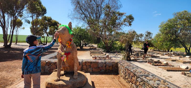
Corrigin Dog Cemetery
Corrigin Dog Cemetery is one of the Wheatbelt’s most unique roadside attractions. It honours generations of beloved working dogs and draws visitors travelling through Corrigin. You will find it just 5 km west of town.
Corrigin Wildflower Drive
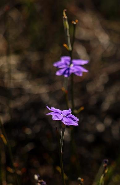
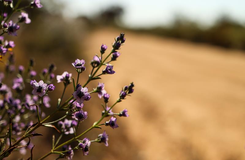
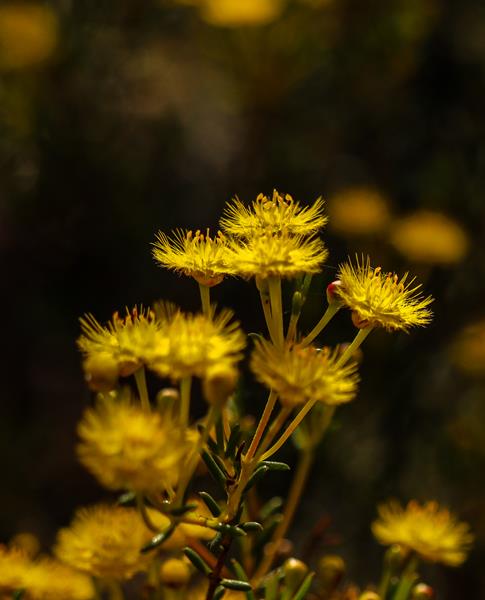
Corrigin Wildflower Drive is a 4 km self‑drive loop that begins opposite the Dog Cemetery. It’s a little paradise for wildflower lovers and anyone who enjoys wandering through nature. Something is always in bloom here, no matter the season, though spring is when the whole landscape truly erupts in colour.
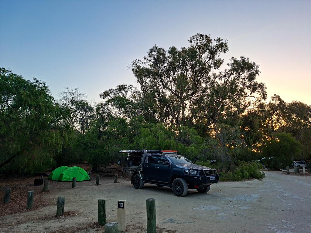
Less than 2 hours drive from Perth, Belvidere campground within Leschenault Peninsula Conservation Park is an ideal option for a quick getaway from Perth. The campground is set among beautiful Tuart trees with lots of wildlife around.
Facilities
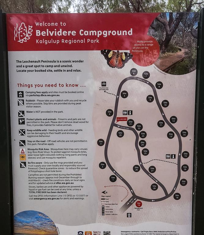
The campground is a medium size, equipped with two toilet blocks on different ends. The place is easily accessed with a 2WD, although the last 4 or 5 km is a dirt corrugated road. Campground is suitable for all types of vehicles and set ups. Having said that, please note that reversing in a caravan or trailer might be an issue due to poles separating the parking and tent area. Sites have picnic tables and fire rings.
A pro-tip for future visitors: the mosquitoes are quite persistent, so definitely come prepared with repellent and maybe some coils to keep them at, especially in the evenings!
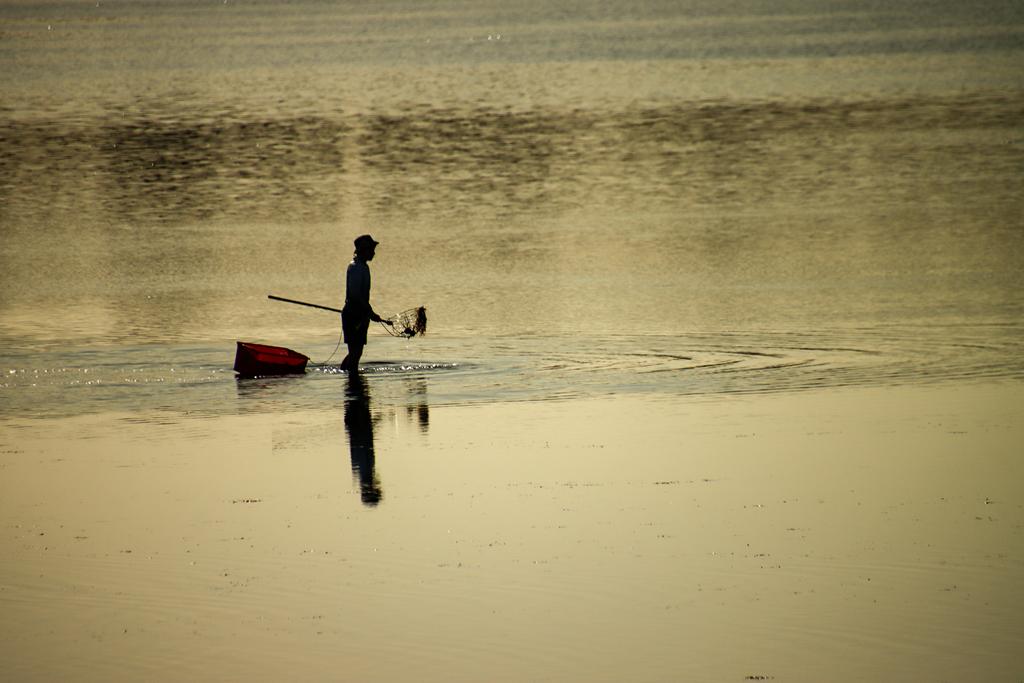
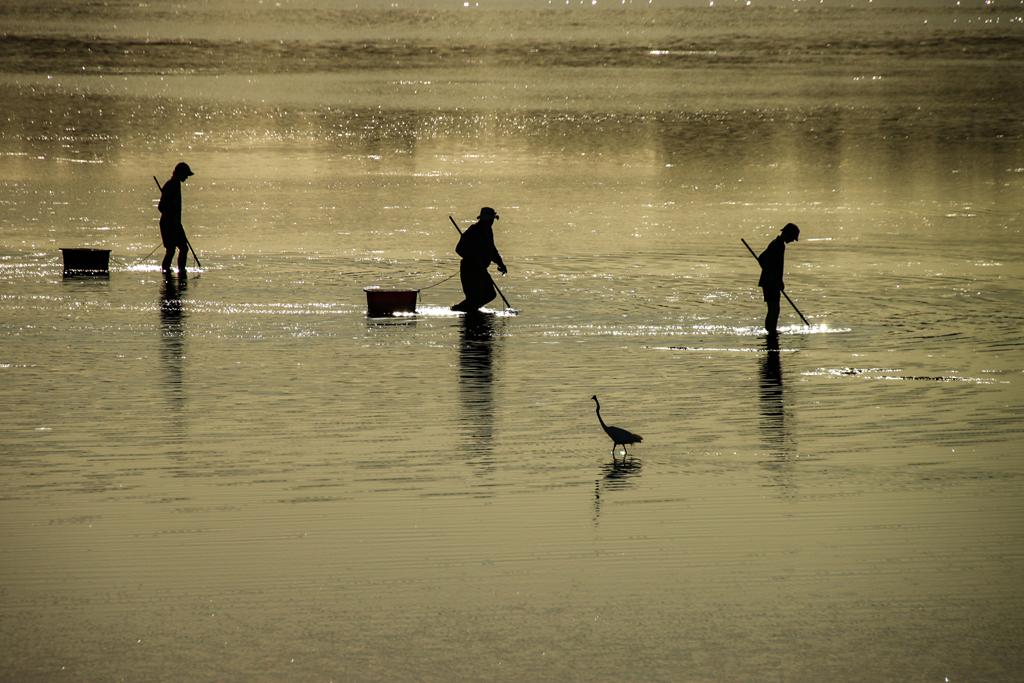
Fishing, especially crabbing is a popular activity there.
There are also a few easy walking trails, varying in length. You can walk from the campground to the estuary and picnic area, along the estuary and all the way to the beach.
If your idea of leisure is a swim or a slow beachcombing wander, Belvidere Beach lies only 2.5 km away. It’s a quick five‑minute drive or a pleasant 25–30 minute walk through tuart and peppermint woodland.
Wildlife
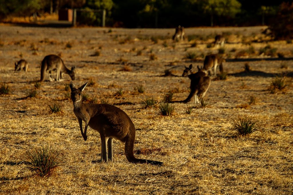
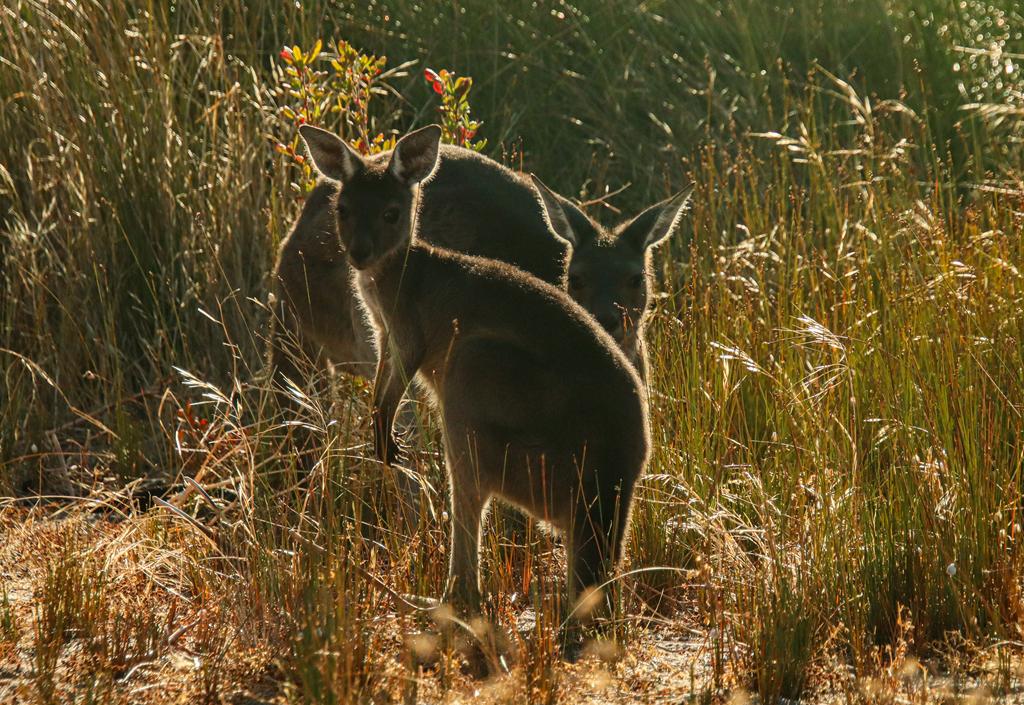
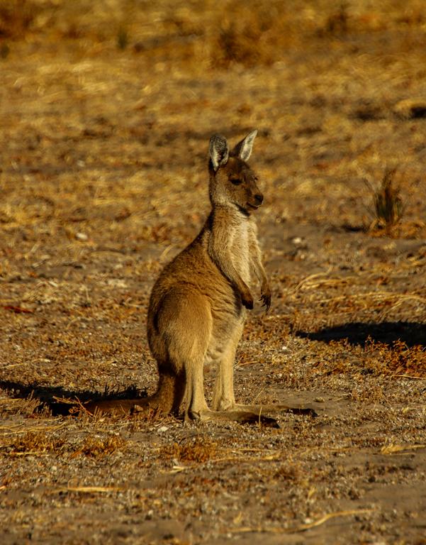
Expect to see kangaroos hoping around the tents. They are even in much bigger numbers near the estuary, which is a fantastic spot to see these incredible marsupials grazing. You can see and, even more so, hear many parrots in the Tuart trees.
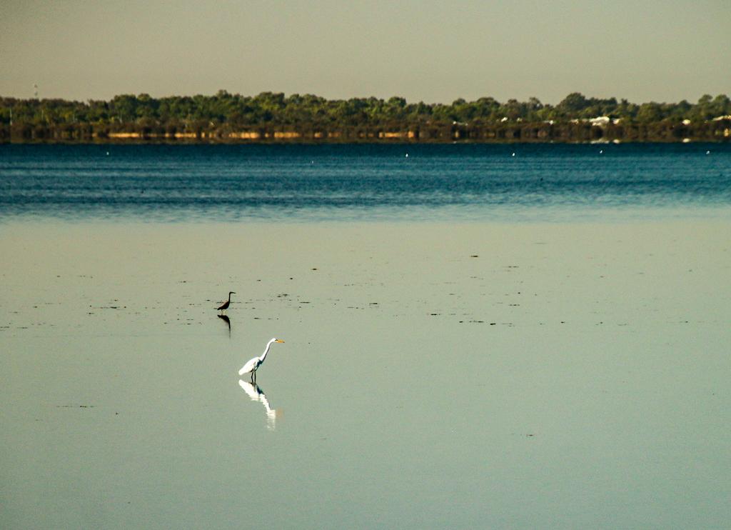
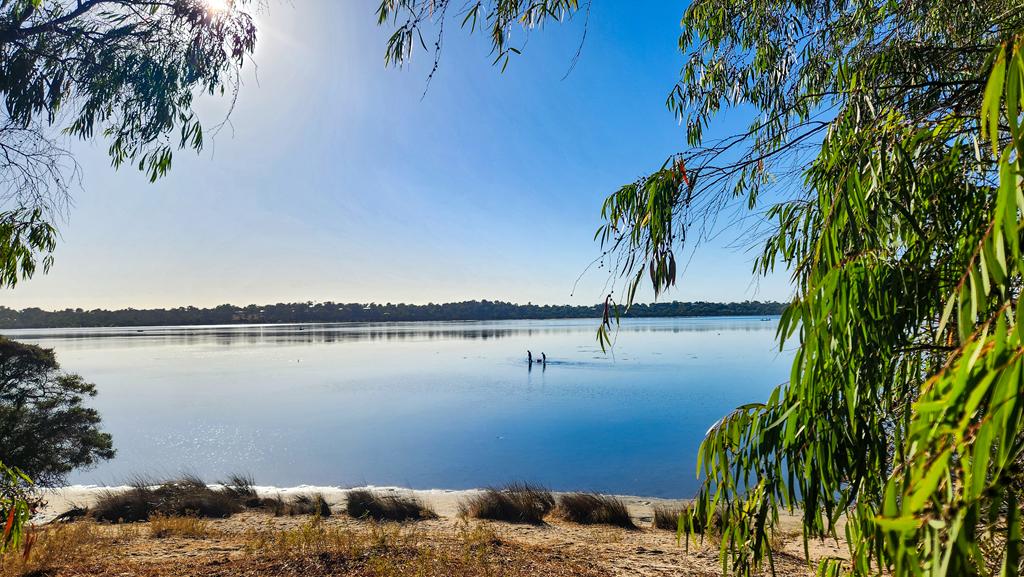
Leschenault Estuary is a haven for waterbirds, with more than 60 species recorded.
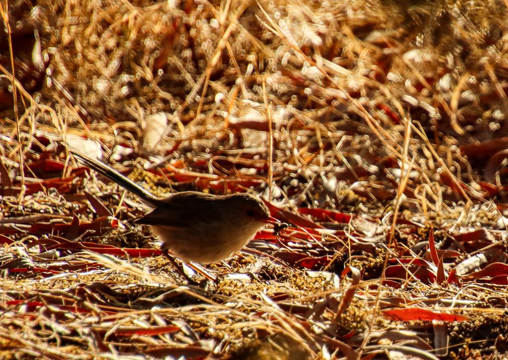
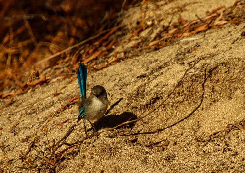
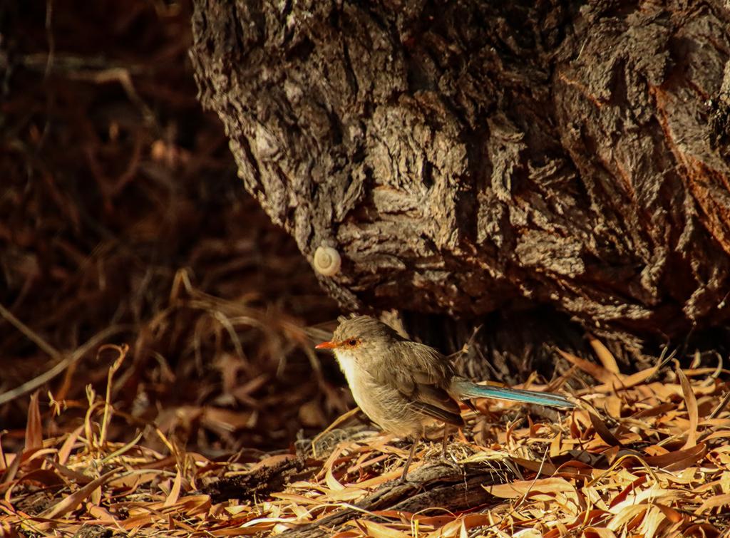
Bush birds are also abundant here, filling the mornings with cheerful birdsong.
Splendid fairywren female with an insect (above left), splendid fairywren non-breeding male (above middle), splendid fairywren female.
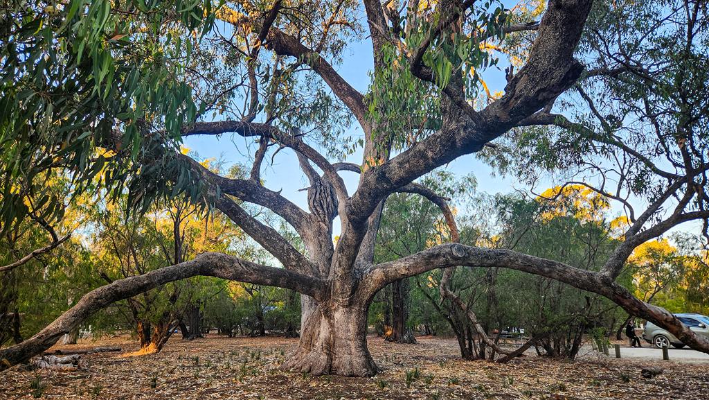
If you love flora, you will appreciate the beauty of magnificent tuart trees. This Eucalyptus gomphocephala can reach 40m high with a 25m branch span. A true giant with stunning, cone-budded flowers. Simply mesmerizing!
Photography
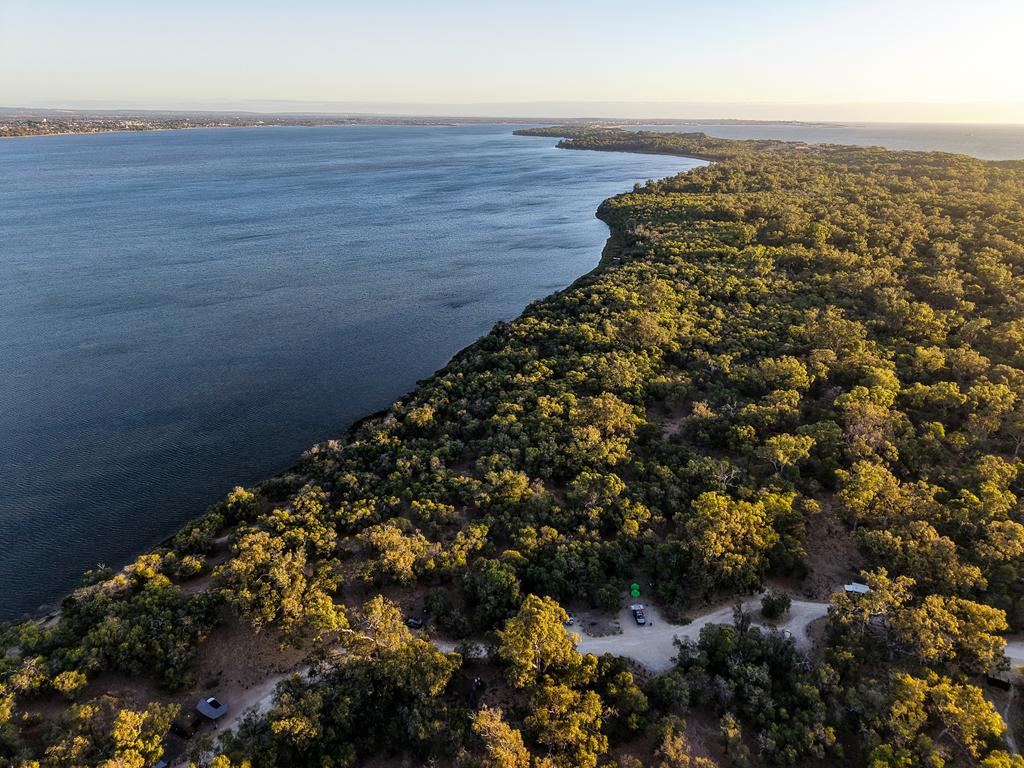
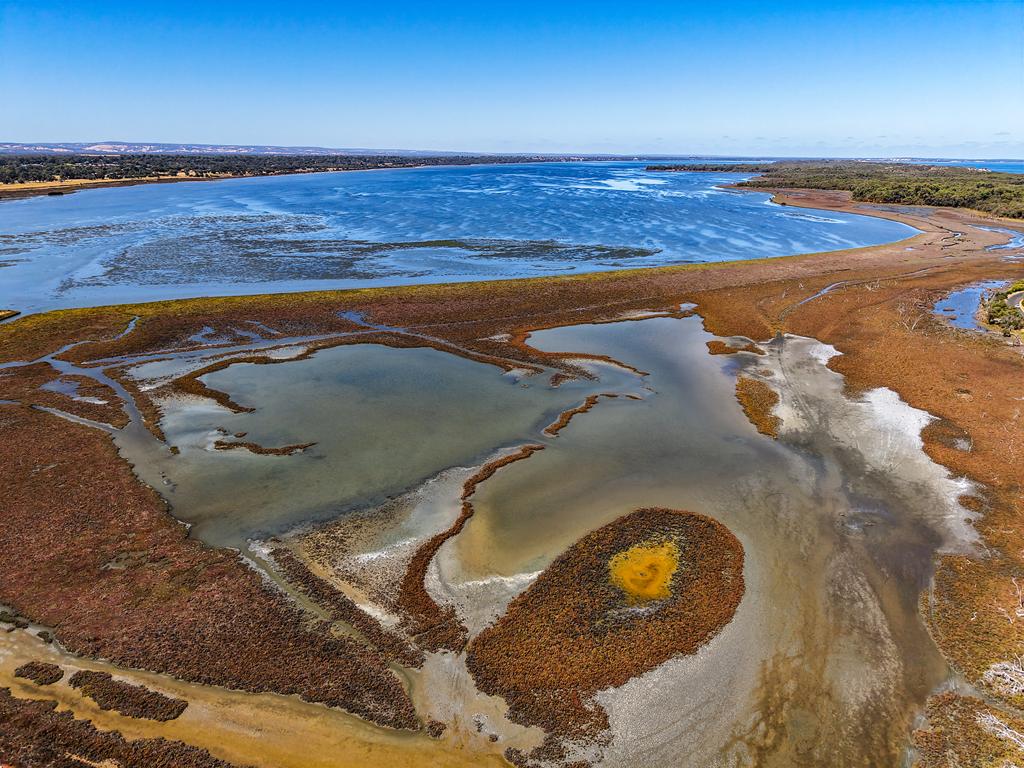
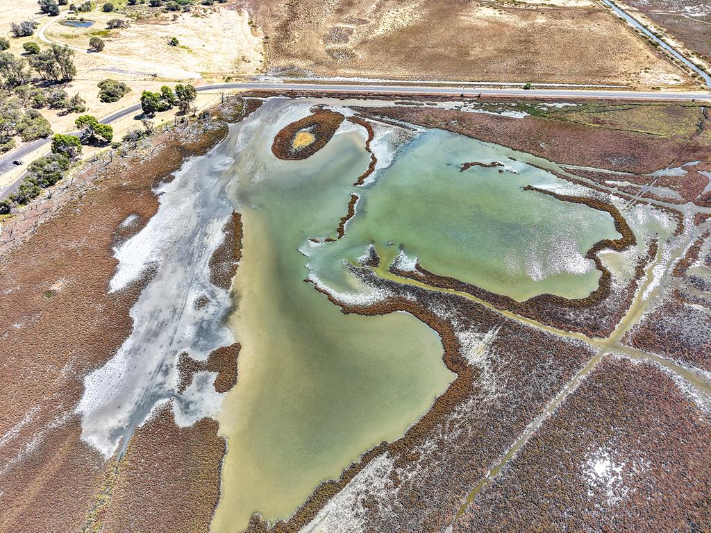
Apart from wildlife photography, Leschenault Estuary offers many opportunities to capture beautiful shots. The drone’s eye view showcases the stunning contrast of deep blues and earthy marsh tones, forming intricate patterns unseen from the ground. It’s a reminder of the hidden artistry all around us.
Where is Belvidere Campground
Belvidere Campground sits on the Leschenault Peninsula, about 20 km north of Bunbury. It’s part of the Leschenault Peninsula Conservation Park.
Like this:
LikeLoading…
Manage Cookie Consent
To provide the best experiences, we use technologies like cookies to store and/or access device information. Consenting to these technologies will allow us to process data such as browsing behavior or unique IDs on this site. Not consenting or withdrawing consent, may adversely affect certain features and functions.
Functional Always active
The technical storage or access is strictly necessary for the legitimate purpose of enabling the use of a specific service explicitly requested by the subscriber or user, or for the sole purpose of carrying out the transmission of a communication over an electronic communications network.
Preferences
The technical storage or access is necessary for the legitimate purpose of storing preferences that are not requested by the subscriber or user.
Statistics
The technical storage or access that is used exclusively for statistical purposes.The technical storage or access that is used exclusively for anonymous statistical purposes. Without a subpoena, voluntary compliance on the part of your Internet Service Provider, or additional records from a third party, information stored or retrieved for this purpose alone cannot usually be used to identify you.
Marketing
The technical storage or access is required to create user profiles to send advertising, or to track the user on a website or across several websites for similar marketing purposes.