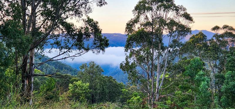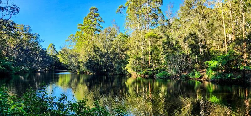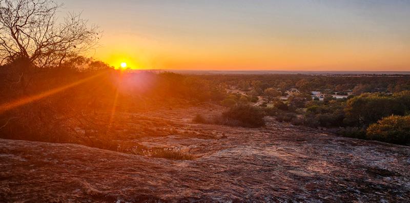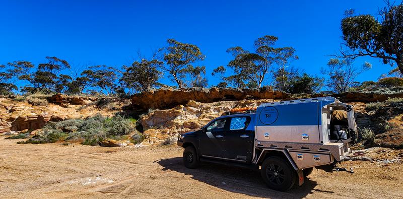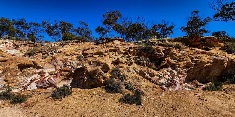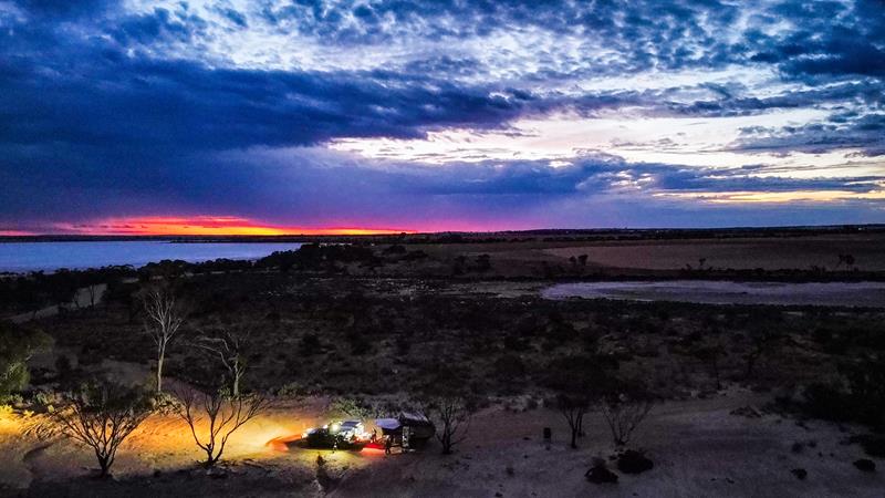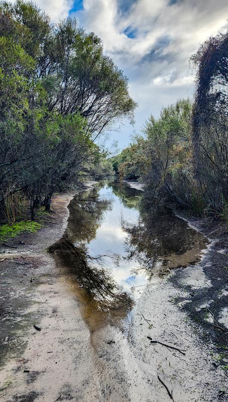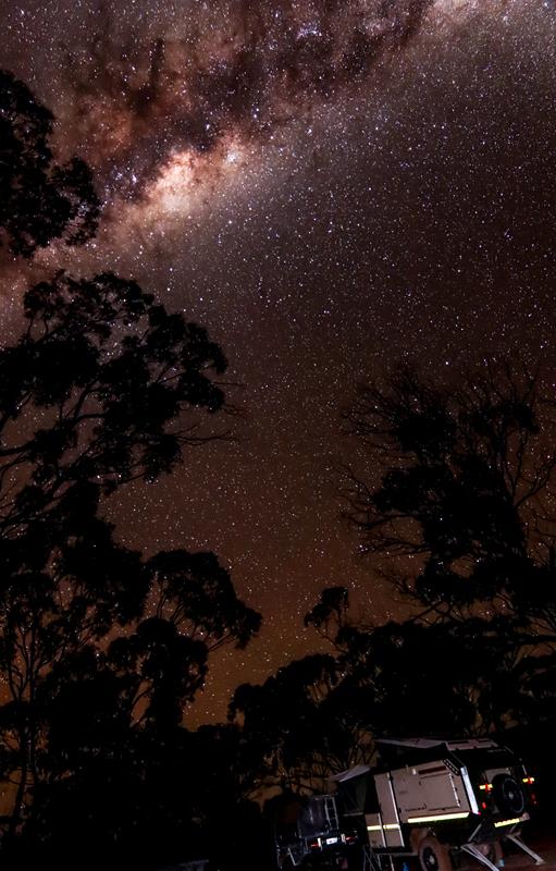
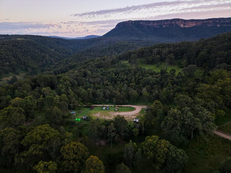
Dunphys campground is a remote and scenic campground in Megalong Valley in Southern Blue Mountains area in New South Wales.
During our trip to Sydney over Christmas 2024, we took time to explore a little of NSW. Blue Mountains was one of the items on the list and we actually wanted to camp there. So, we chose to stay at Dunphys campground.
Facilities at Dunphys campground
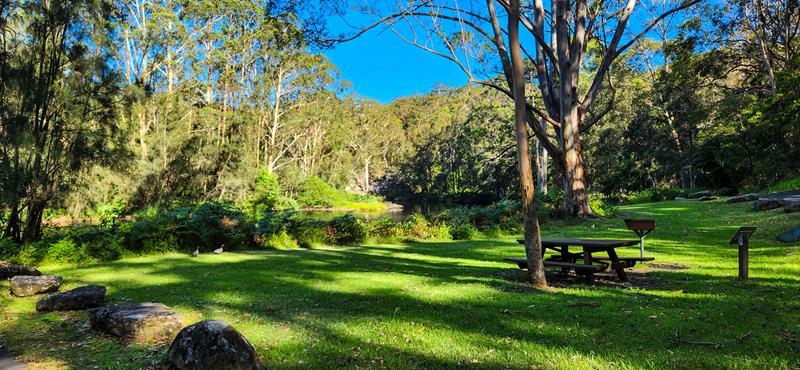
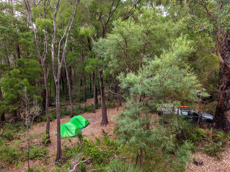
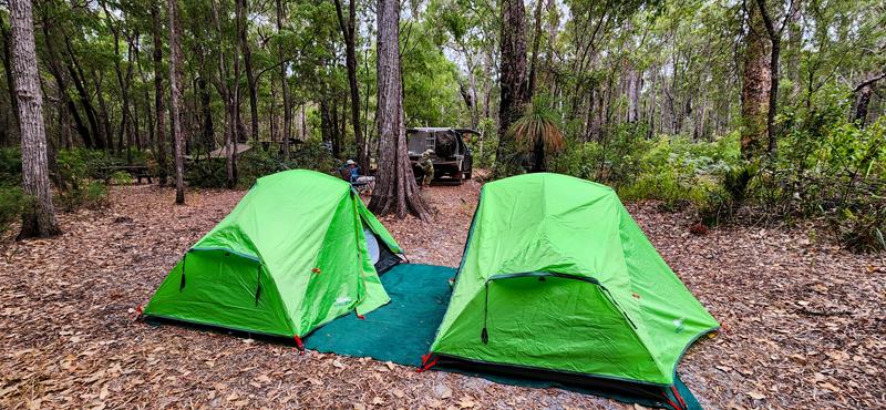
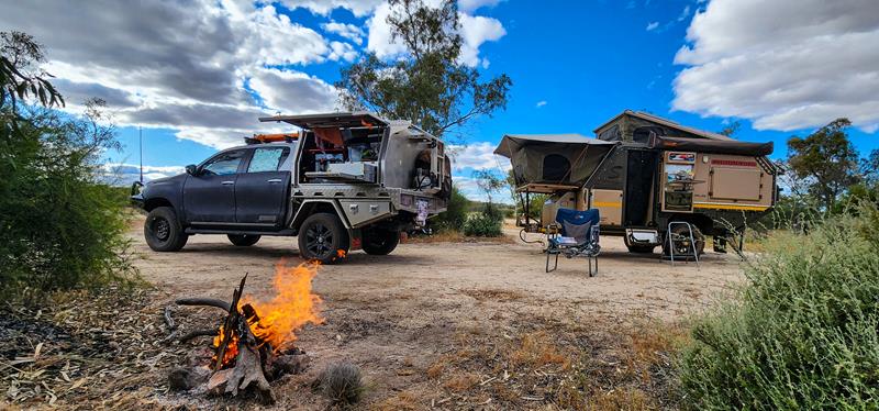
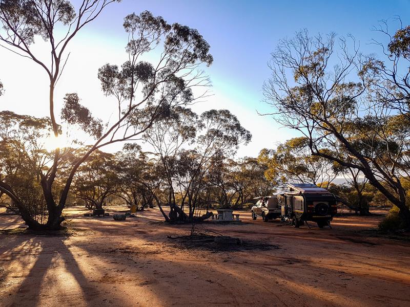
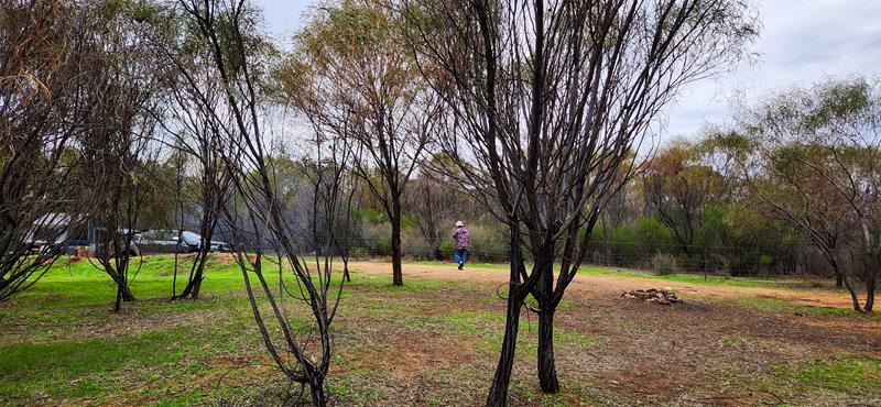
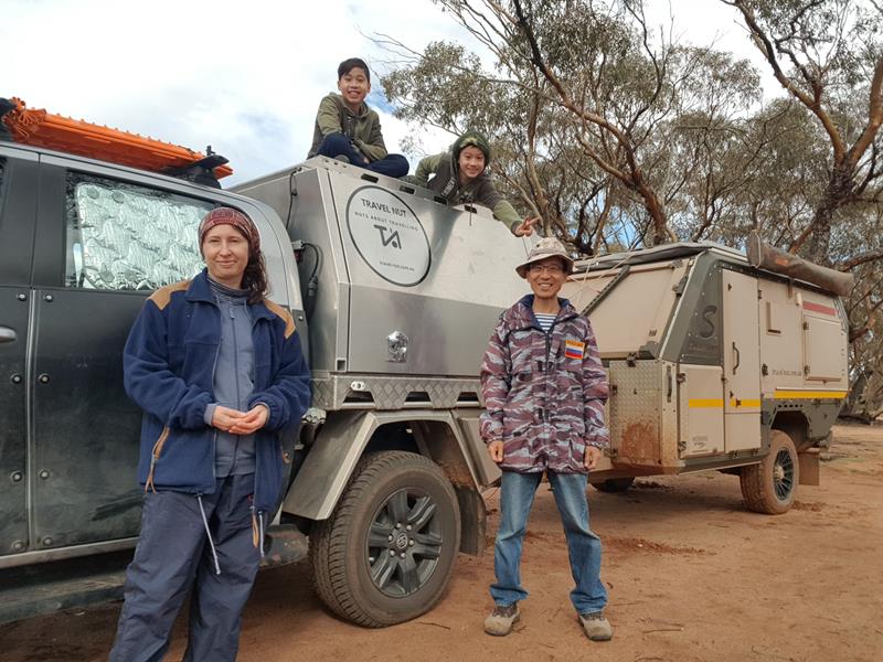
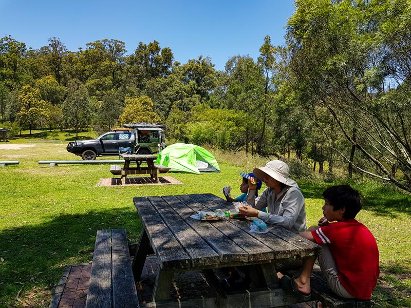
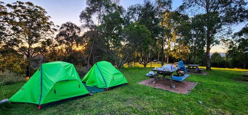
There are 15 campsites scattered around, none are marked. You would need to carry your camping equipment if you want a nice scenic spot, e.g. with a mountain view. Alternatively, if you have a roof top tent or a trailer, you can camp in the open grass area. This area serves like a car park. We placed our tents just outside this marked parking area. This way, we easily accessed our vehicle. It has a kitchen and everything else we needed.
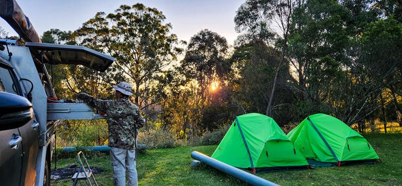
There are picnic tables, BBQ, and a non-flushing toilet. A water tank with non-treated water is available, but it didn’t really have any water at the time we camped.
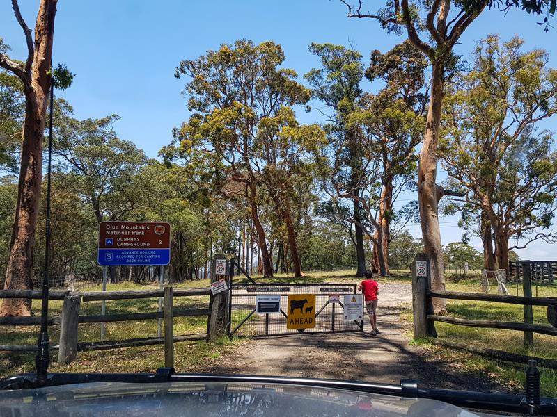
Access to the campground is via a private property, which has a few gates to go through.
Thing to do
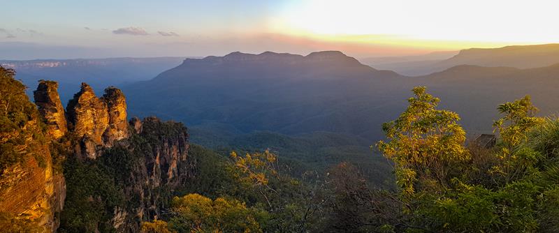
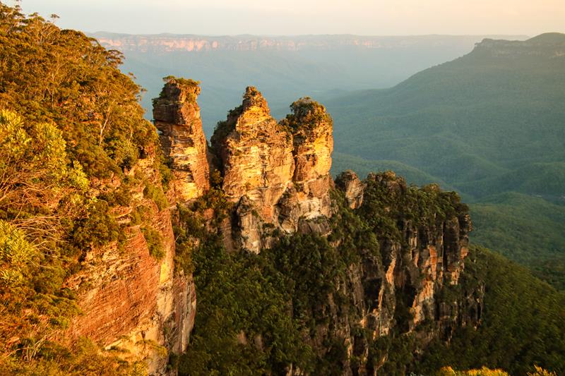
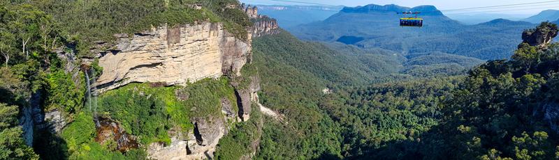
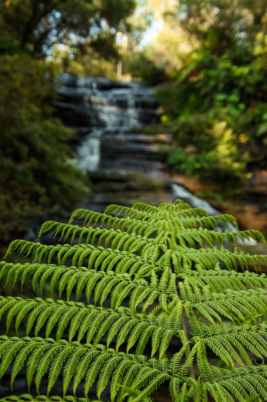
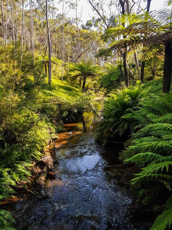
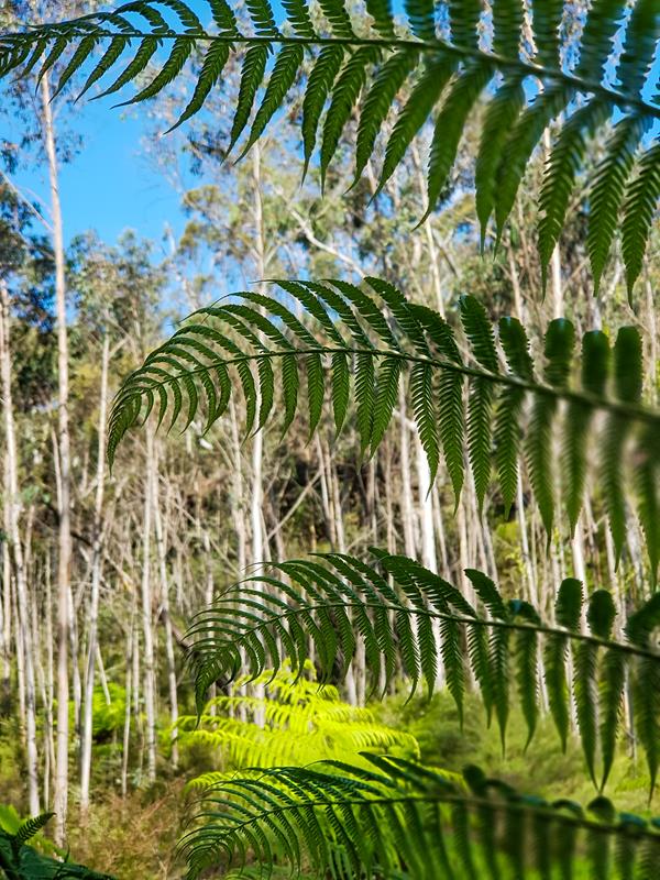
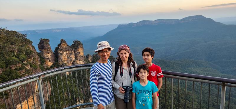
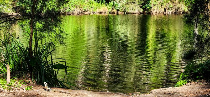
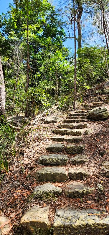
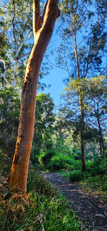
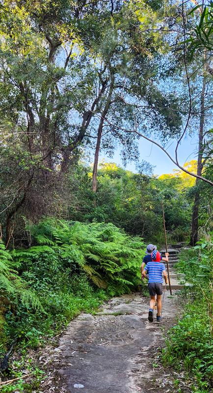
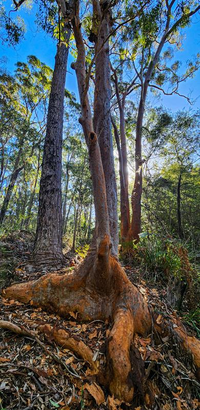
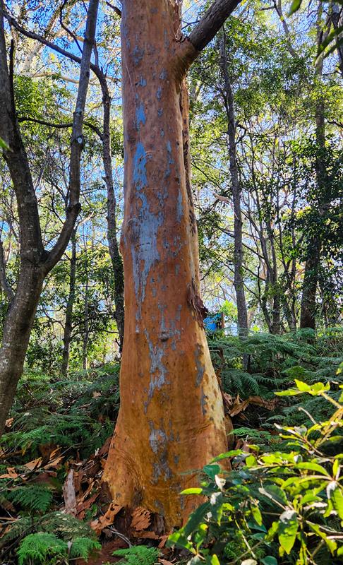
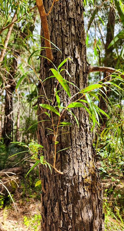
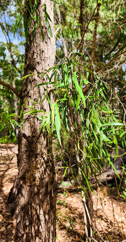
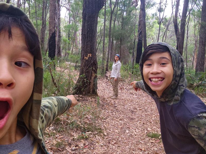
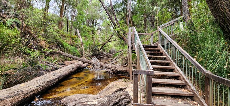
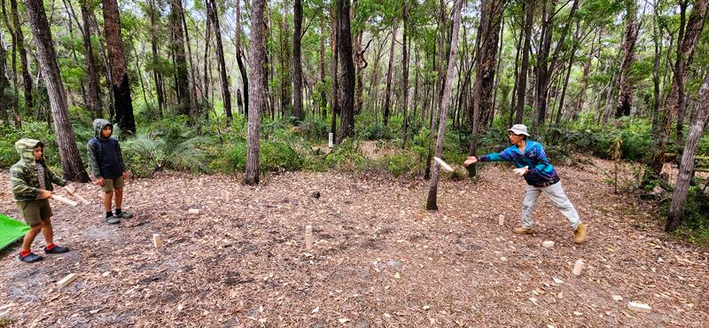
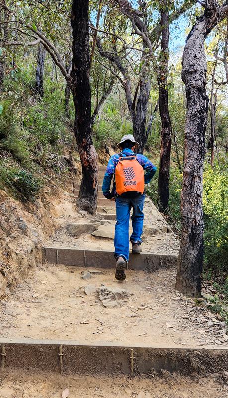
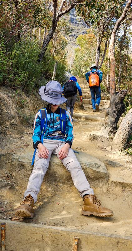
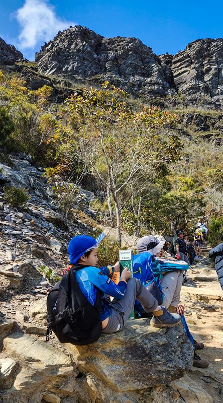
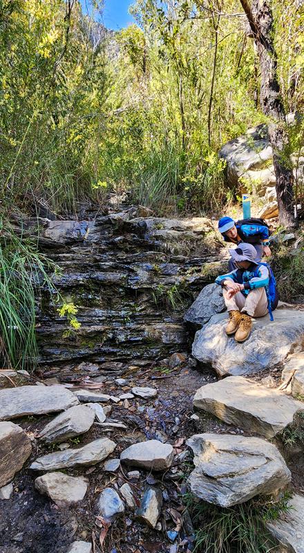
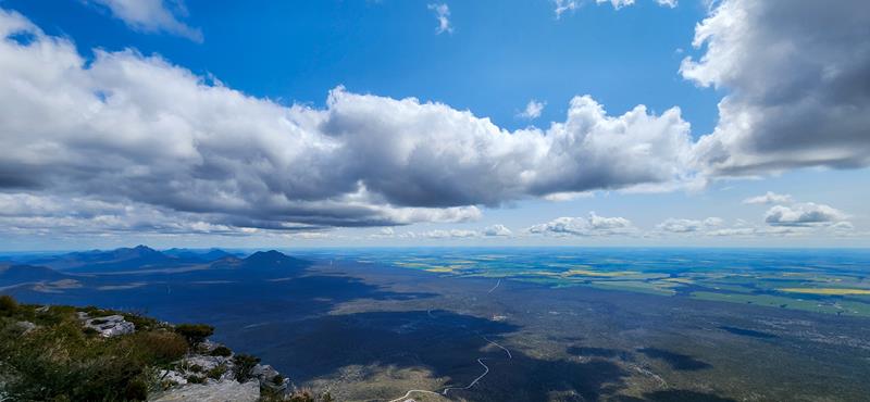
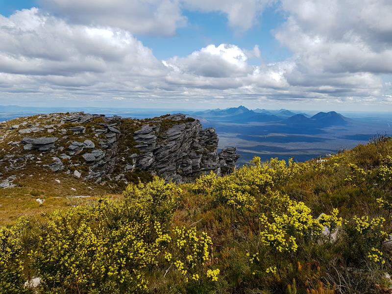
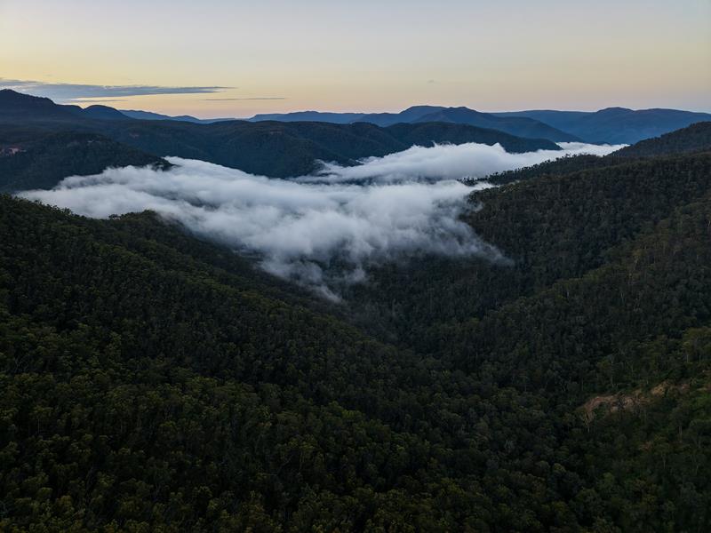
There are a few moderate to hard difficulty walking trails of various length around the campground. Katoomba with its attractions, like The Three Sisters and other lookouts is also not far away.


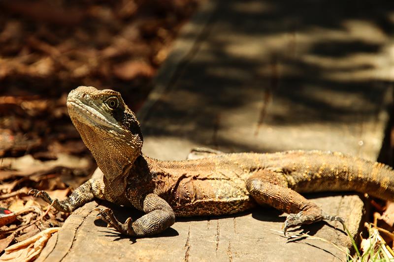
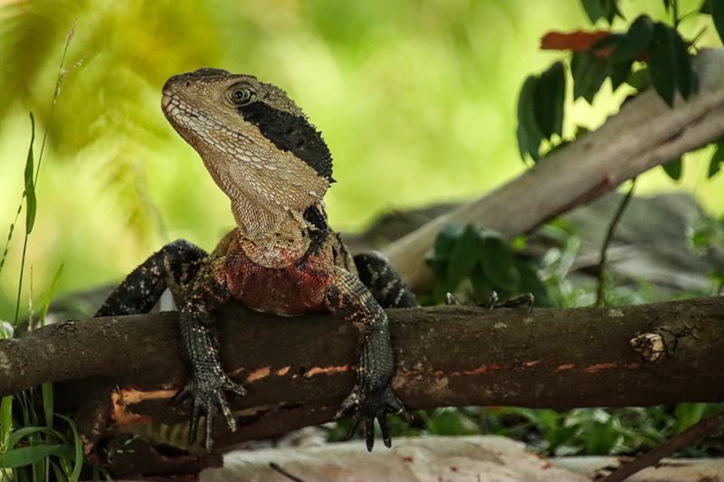
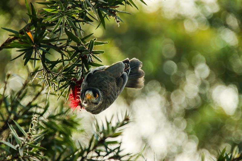
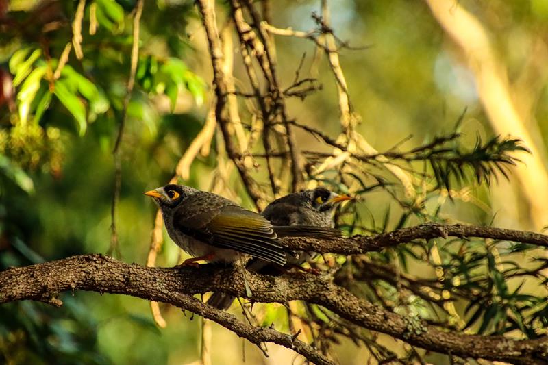
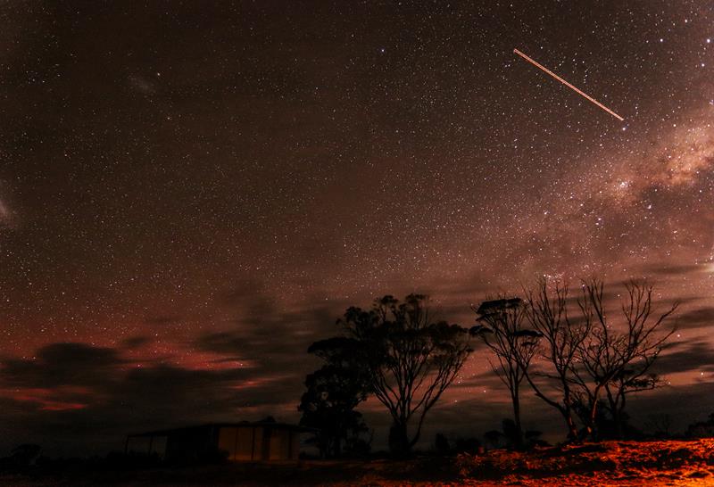
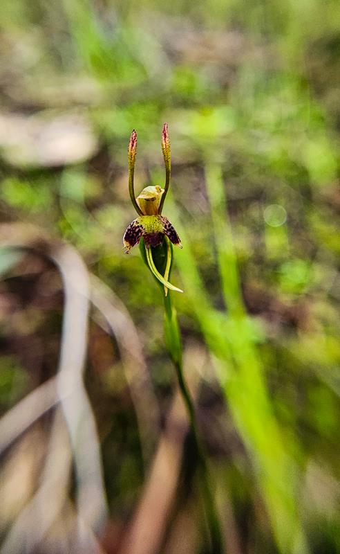
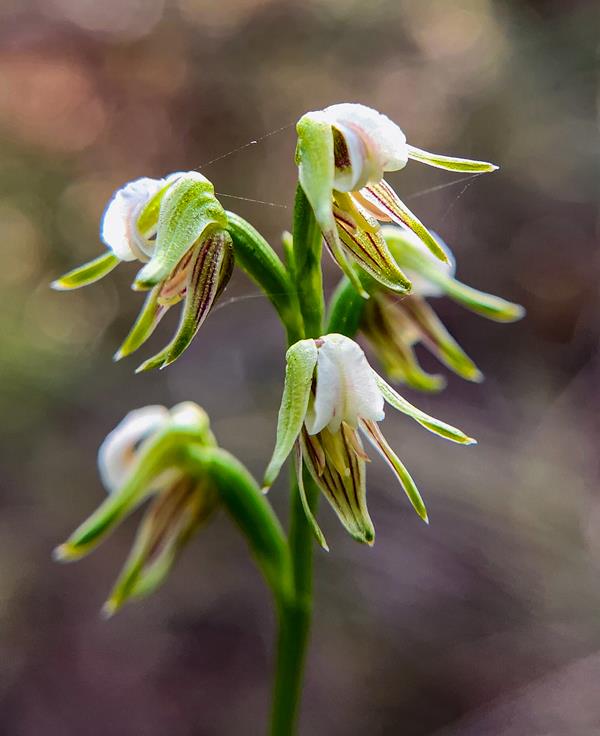
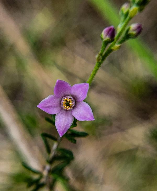
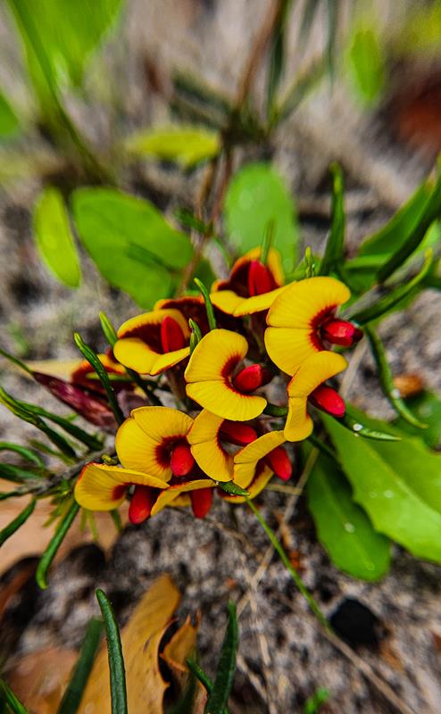
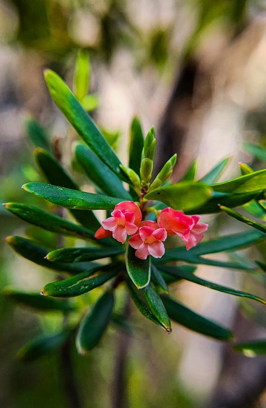
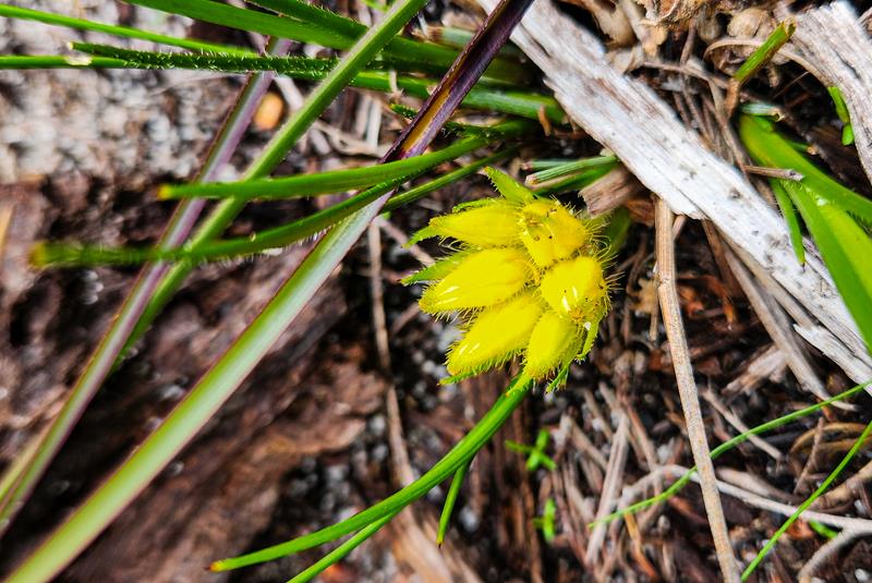
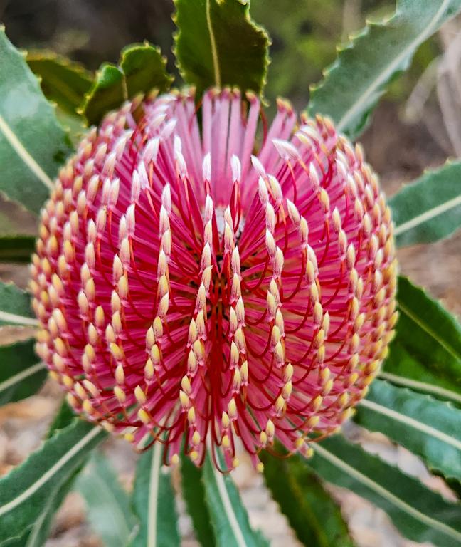
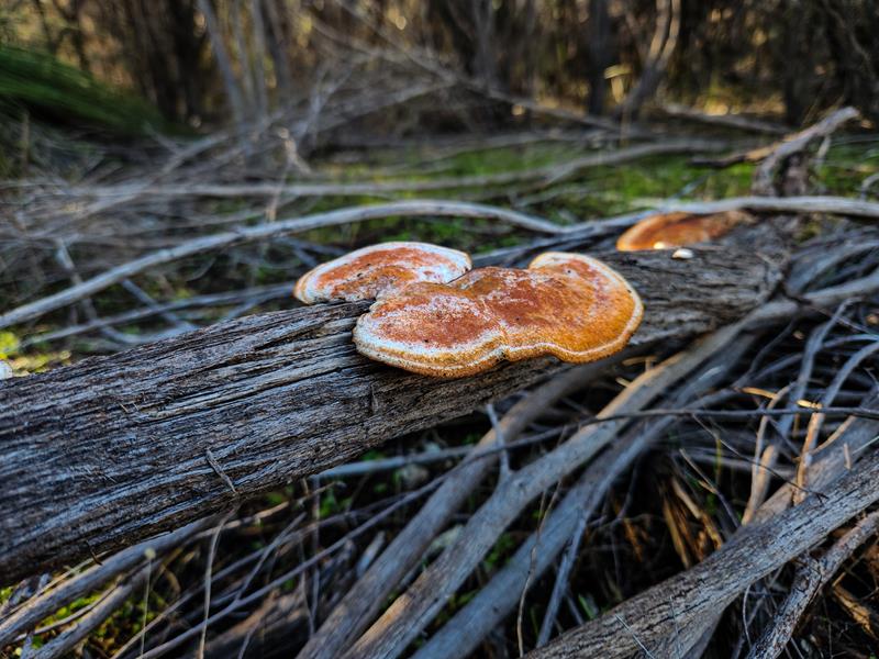
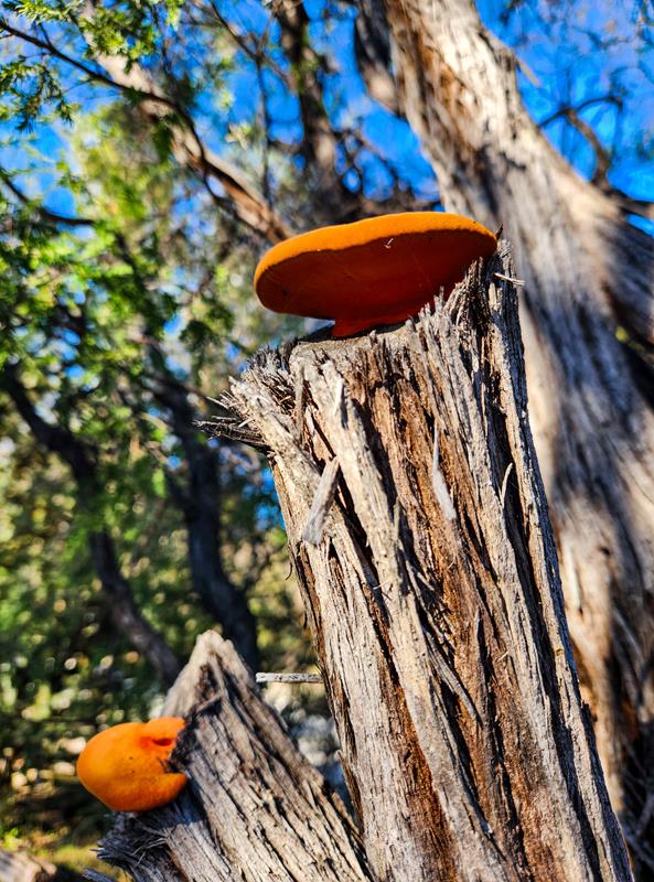
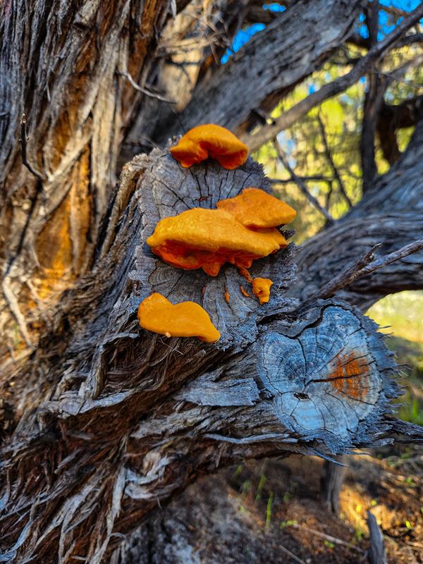
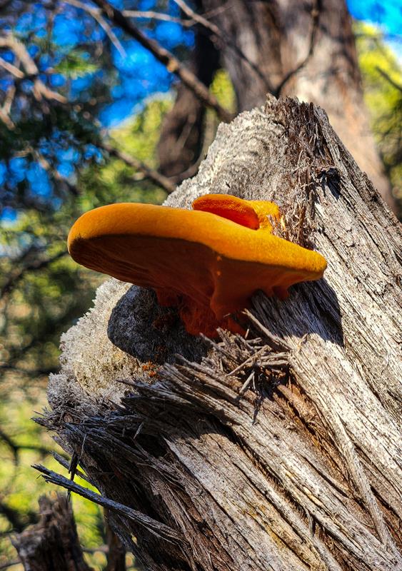
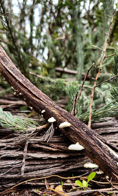
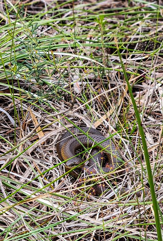
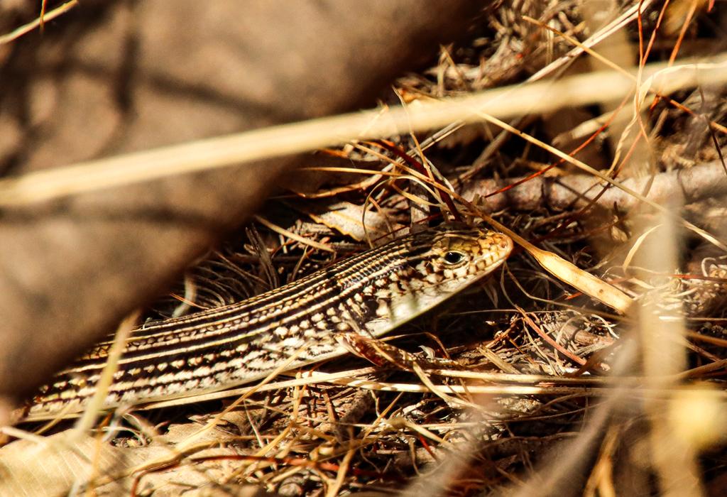
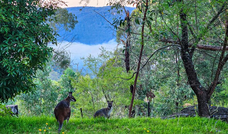
Nature lovers would delight in this place! There are many eastern grey kangaroos that frequent the campground daily. We’ve seen Lace monitor and many birds, including pretty Superb Fairy-wrens.
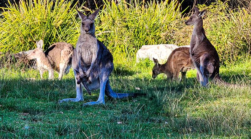
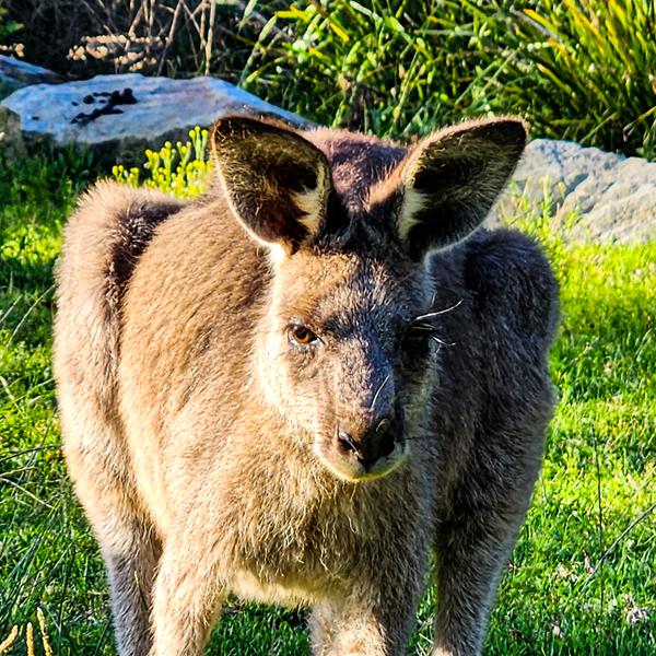
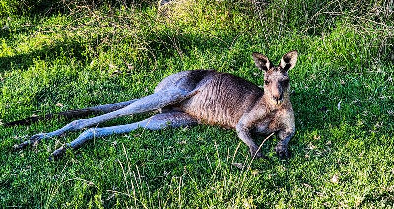
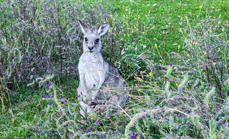
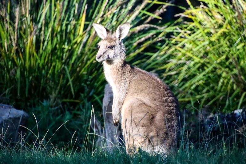
Eastern grey kangaroos (above) are different to western grey kangaroos that we have in Western Australia. They were quite friendly too :).
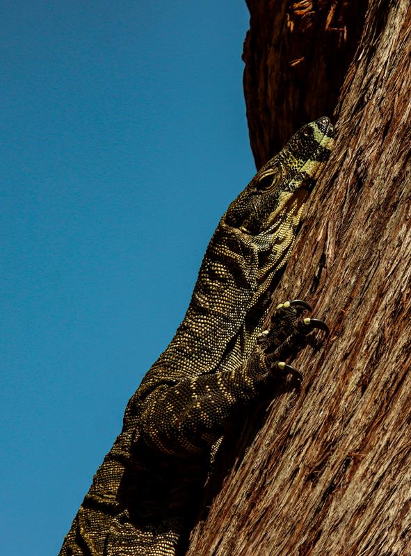
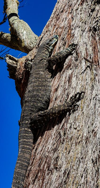
Lace monitor (above) or tree goanna is one of Australia’s largest lizards. It grows up to 2 meters in length and is found in eastern parts of Australia.
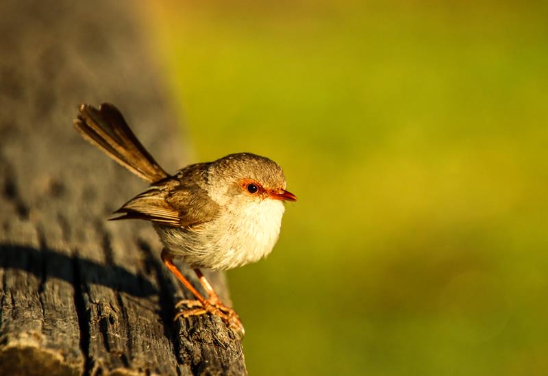
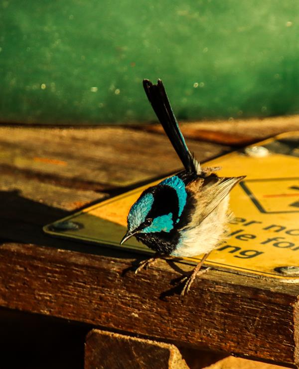
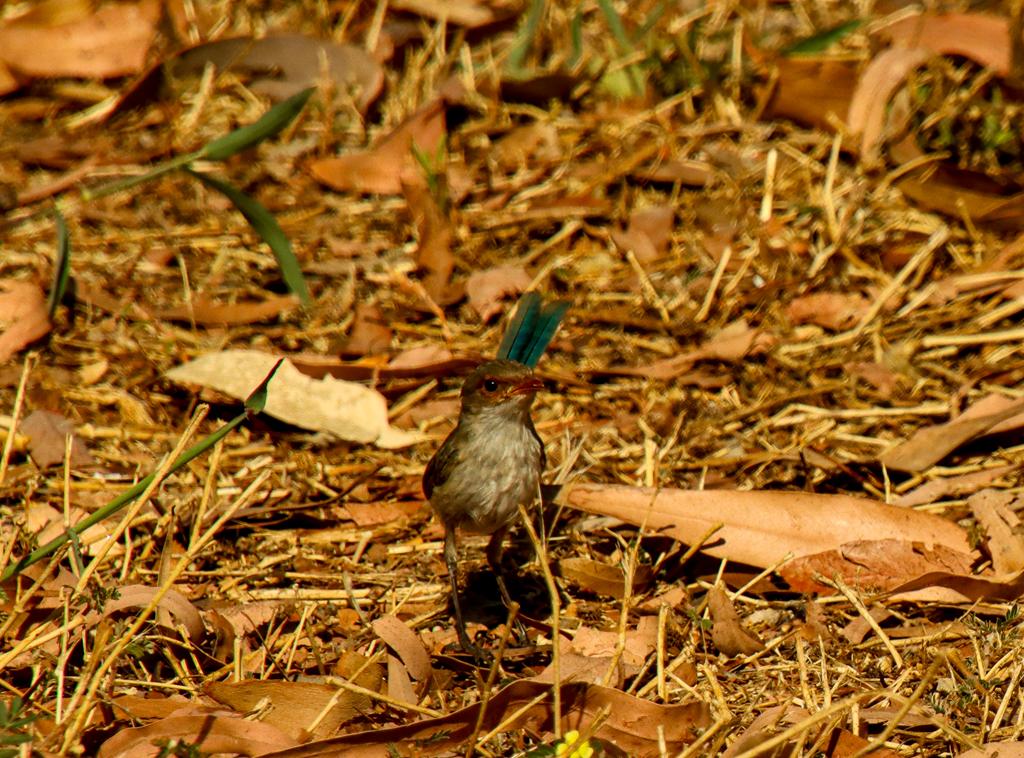
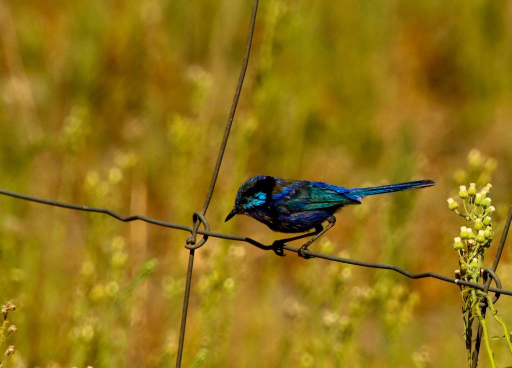
Superb Fairy-wren female (above left) and Superb Fairy-wren male (above right) restricted to eastern states of Australia.
Location and access
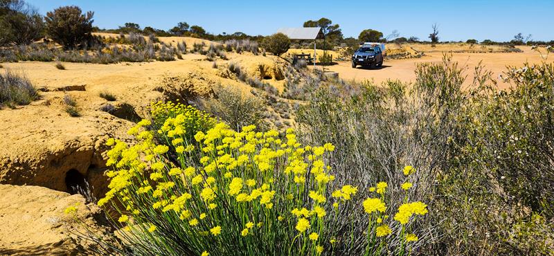
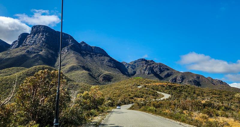
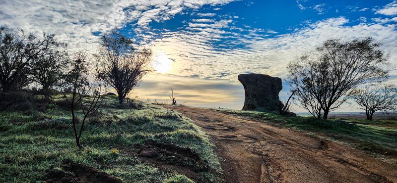
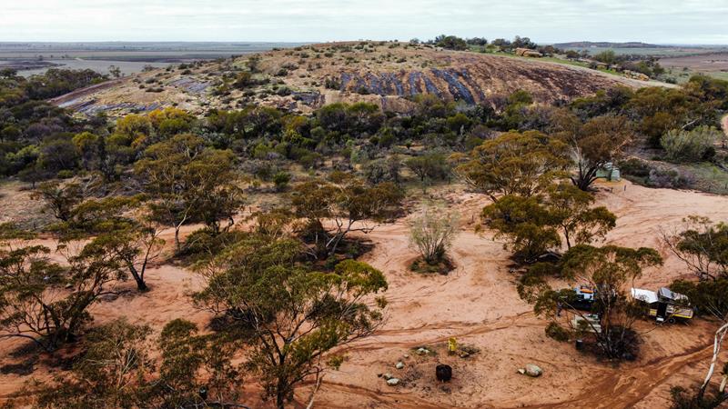
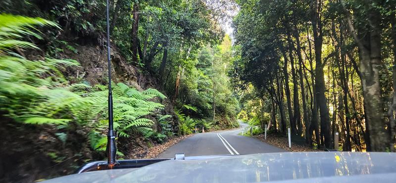
Dunphys campground is in Megalong Valley, in the Southern Blue Mountains area of Blue Mountains National Park in NSW. It is approximately 40 minutes drive from the nearest town Katoomba. There is a mixture of sealed and unsealed roads to get to campground. The last 5km or so of the road leading to Dunphys campground is very winding, steep, with sharp turns.
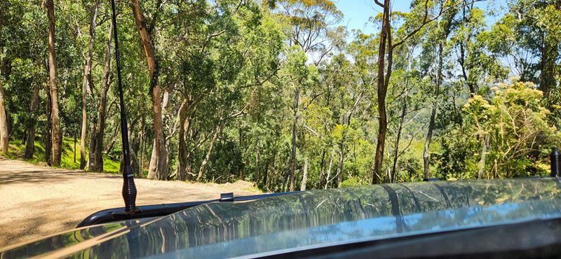
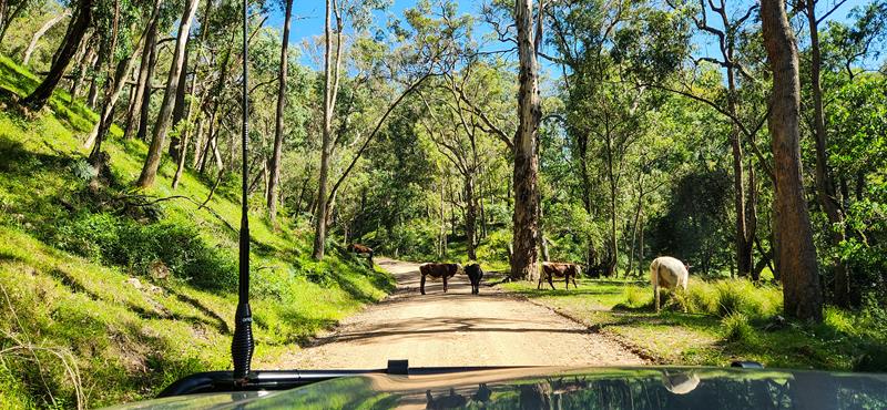
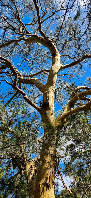
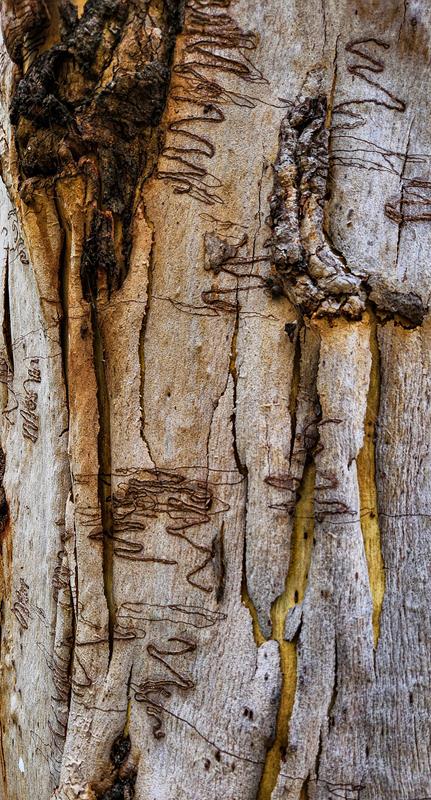
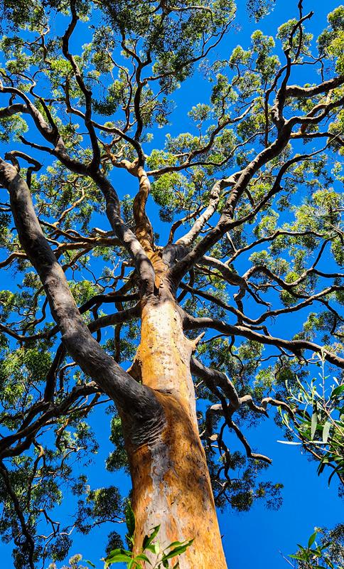
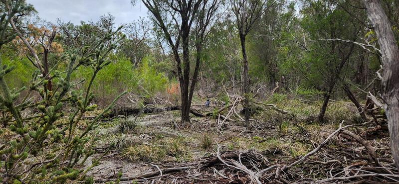
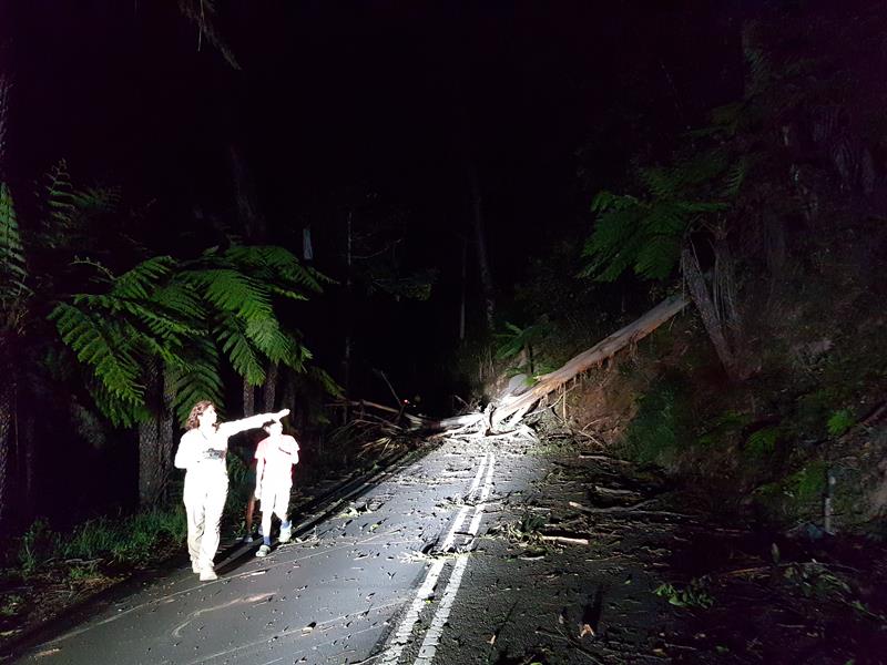
The towering eucalyptus trees overhang the road, too close for our comfort. We feared not for nothing. On the first night, travelling back to the campground, we actually got stuck on that road. It turned out that a tree fell and blocked the road. Locals told us it happens a lot. So, even though, the road is considered 2WD accessible, we do not recommend towing a caravan there.
The best thing about this campground (apart from awesome scenery) is that there is no entry fee to the national park and there is no camping fees either. Sites require booking though and there is $6 booking fee. Coming from WA where there are not many places that are free, we found camping in NSW so affordable for us!