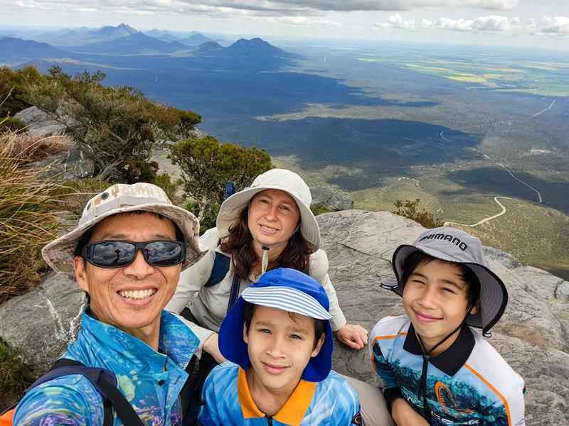
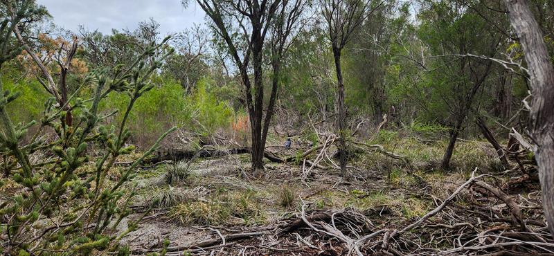
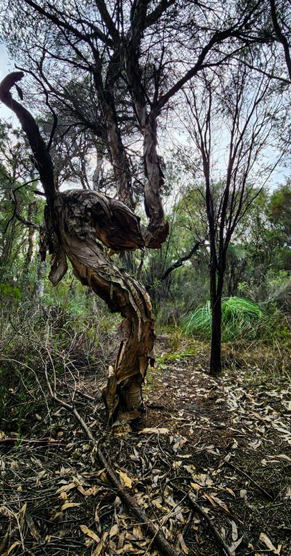
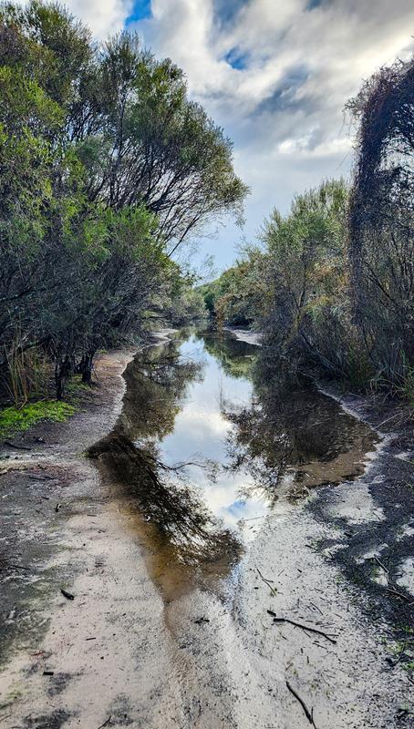
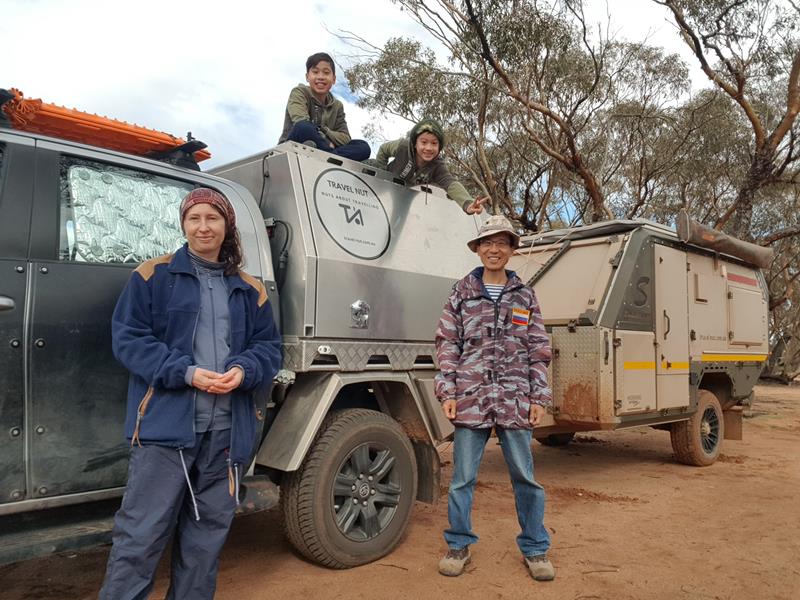
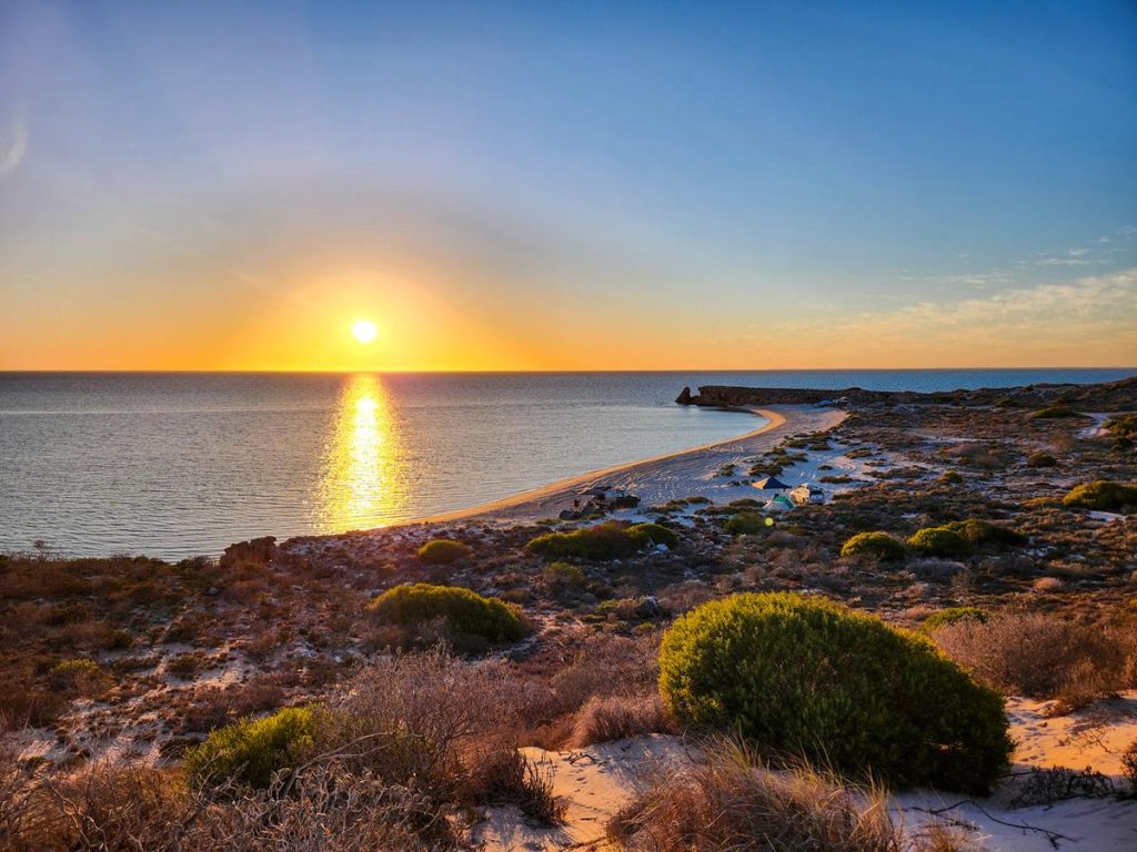
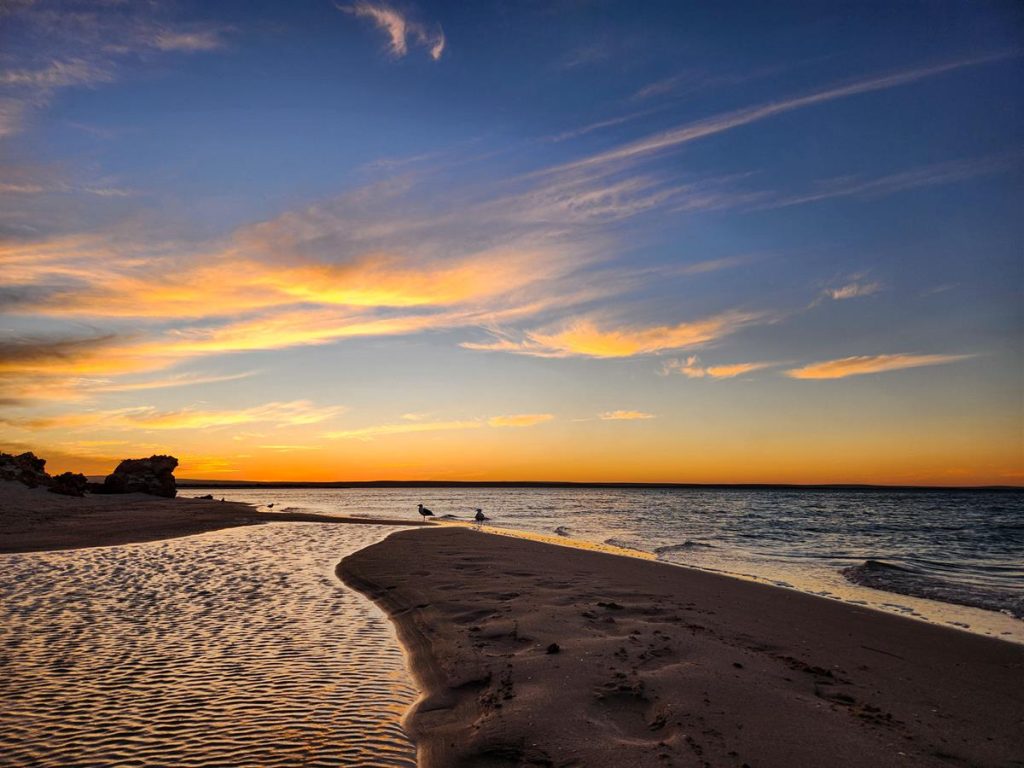
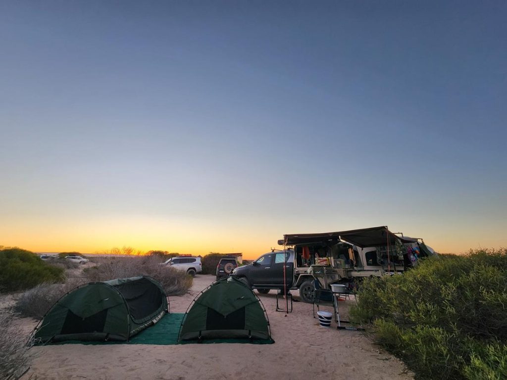
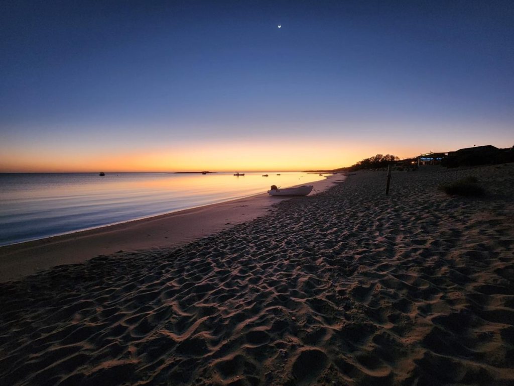
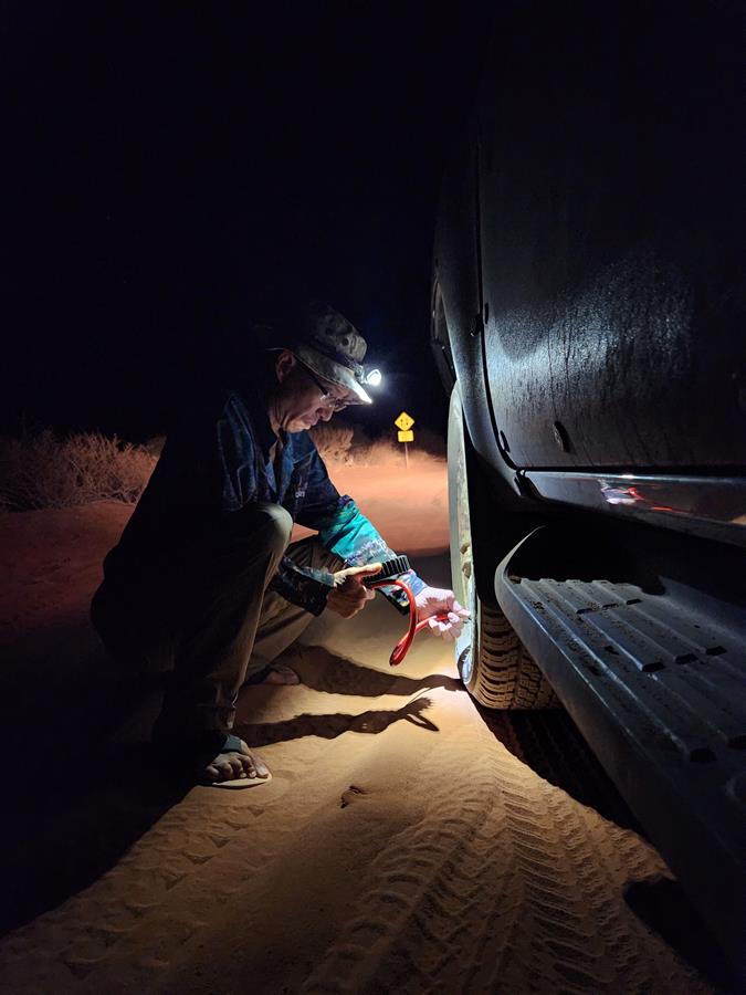
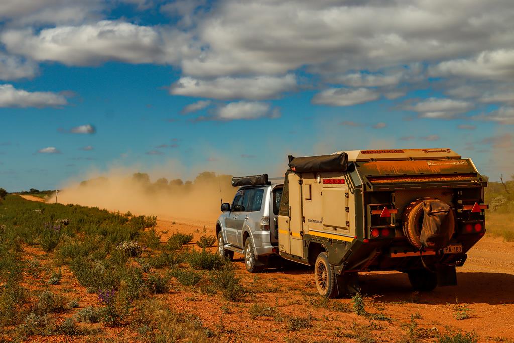
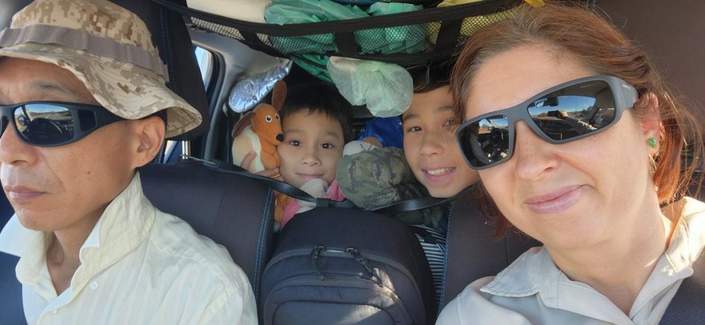
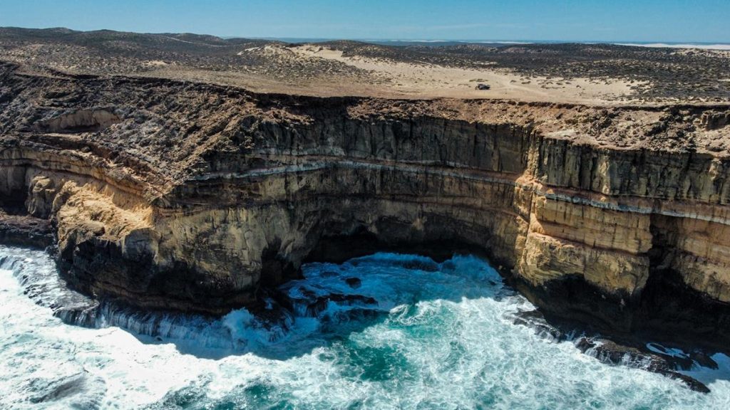
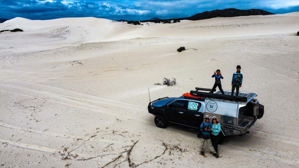
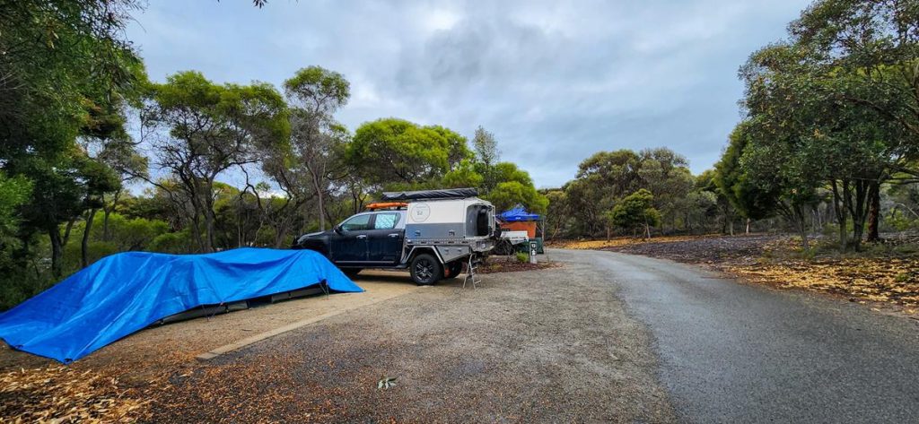
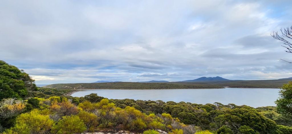
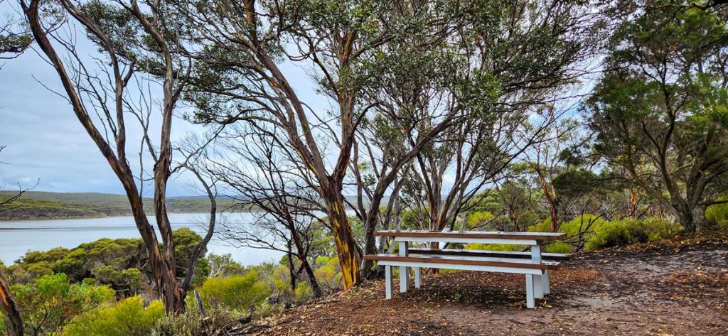
We are a family of four and are nuts about traveling. Our name reflects this! We love sharing the joy and love of traveling and adventure! Let's the fun begin!
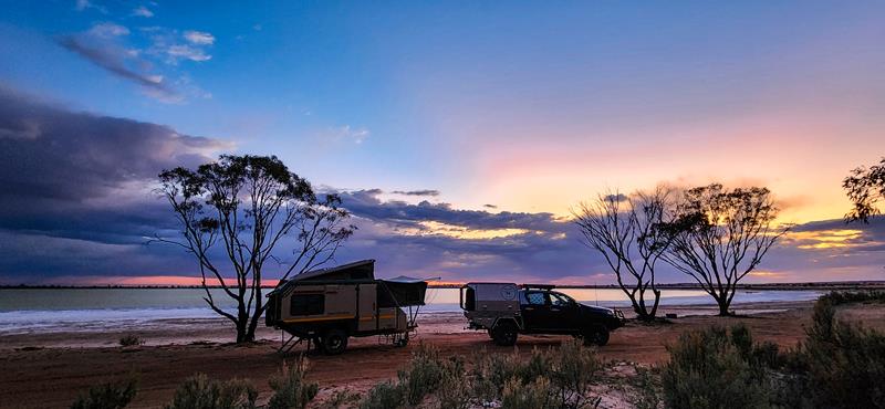
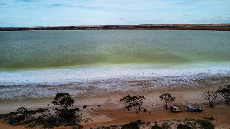
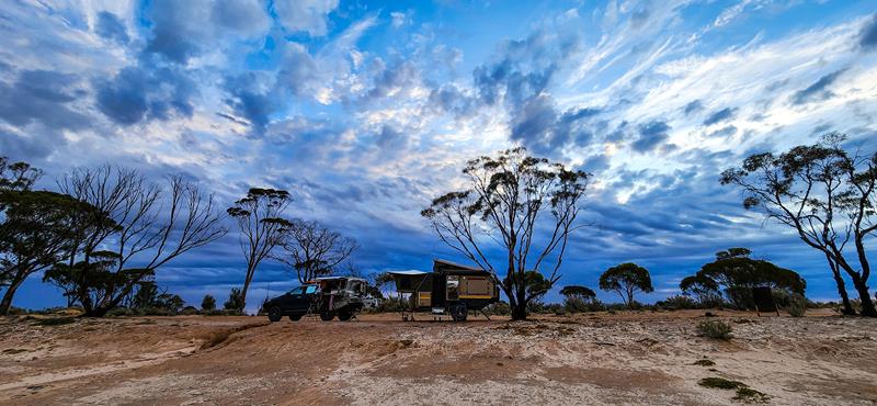
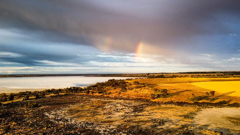
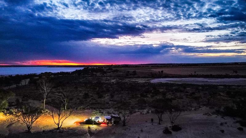
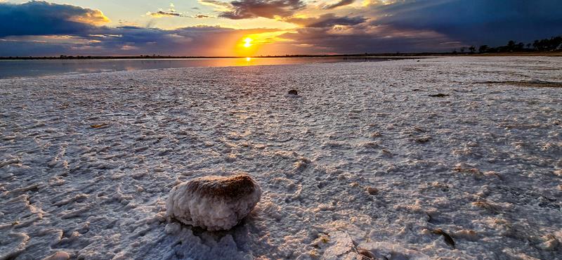
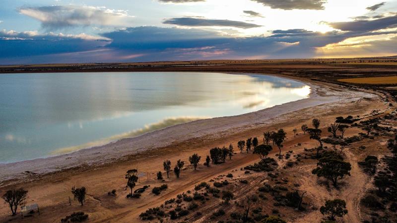
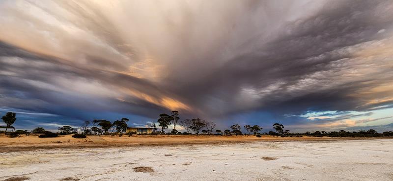
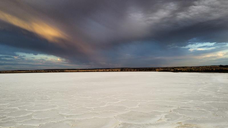
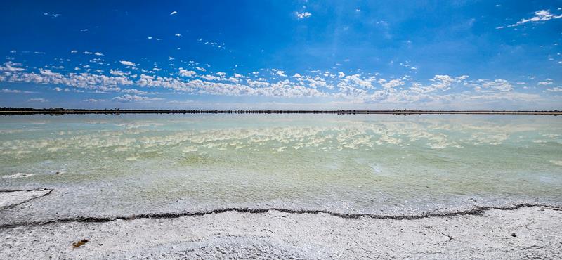
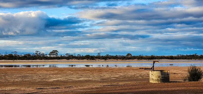
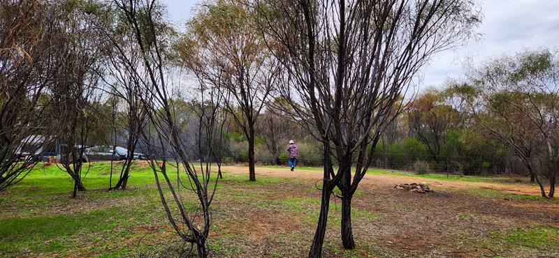
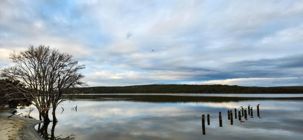
Baandee Lake is a beautiful salt lake in the Central Wheatbelt region of Western Australia. It is 25km east of Kellerberrin on Ski Lake road. This is a popular place for water skiing when there is enough water in the lake. It is also a pleasant free camping area. There are flushing toilets, cold water shower and non-drinking water for washing hands available. In cooler months you can enjoy camp fires in the fire rings provided. We stayed at Baandee Lake in early November. The weather was favourable – not too hot during the day time yet and cooling at night. There was still water in the lake although not enough for water ski activities. With plenty of space for camping along the shore of the lake to choose from, we found a nice spot with gorgeous view which we enjoyed during our 1 night stay there. We were the only ones, although a few cars visited during the day.
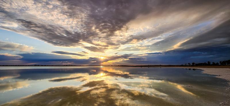
Fantastic views and scenery at Baandee Lake
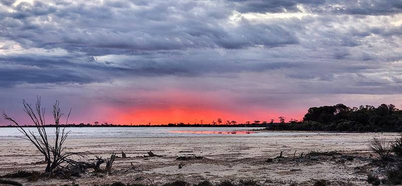
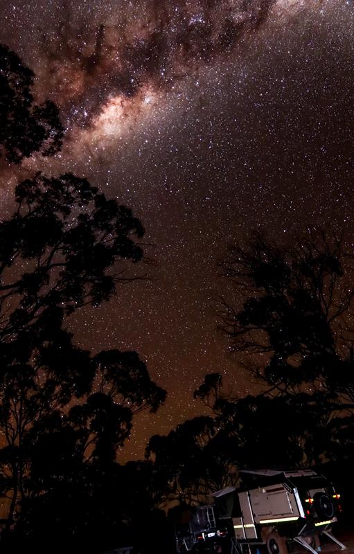
The best thing for us camping at Baandee Lake were the awesome views of the ever changing sky.
So, we witnessed the intensely strong red sunset.
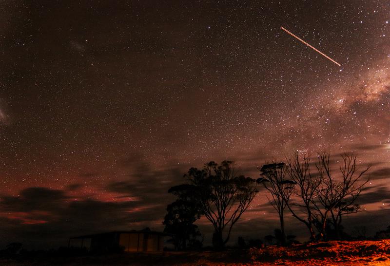
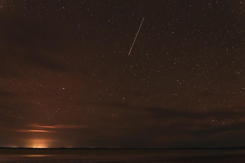
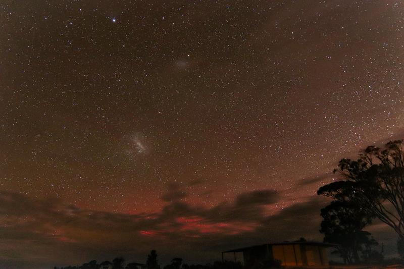
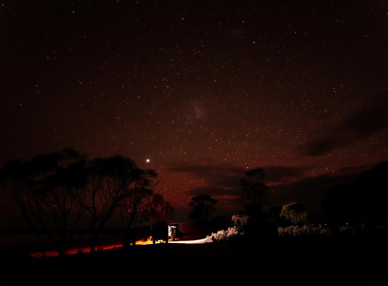
Many satelites (and maybe a comet?) across the sky full of stars but also some clouds.
Aurora passed by leaving a bit of a colour in the sky too. 🙂
Pretty cool sunrise
Some dramatic clouds in the morning just after the sunrise.
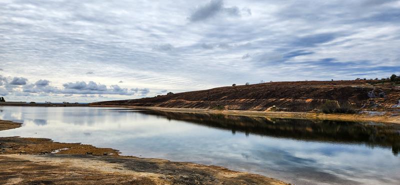
and beautiful reflections of the clouds in the lake.
Baandee Lake is in South Doodlakine, Wheatbelt region of Western Australia. It is about 3 hour drive east from Perth.
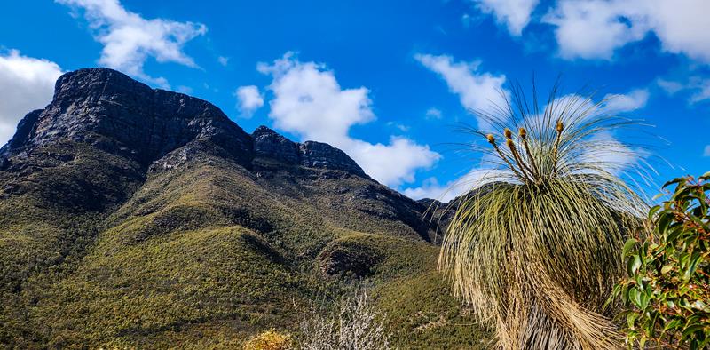
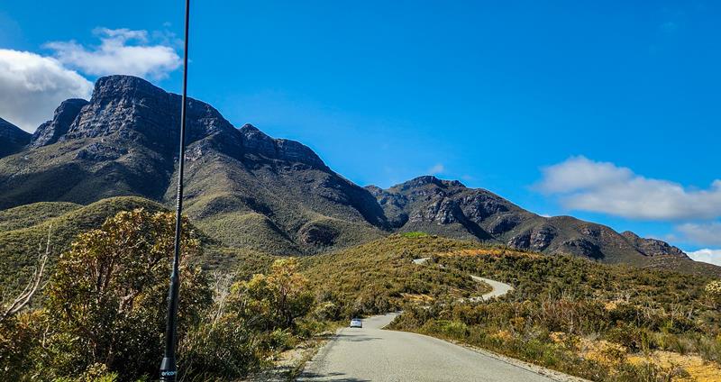
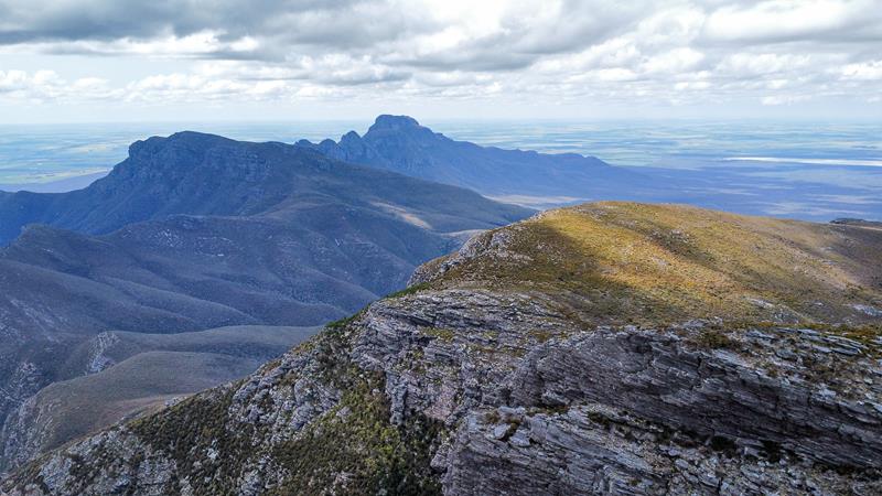
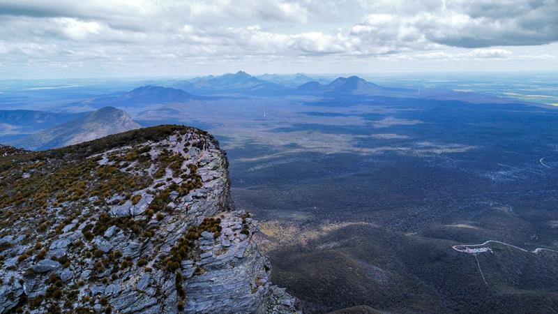
Bluff Knoll is the highest peak of the Stirling Ranges, which are in Australia’s South West. The range stretches from east to west for more than 65 kilometres and is characterised by rugged peaks, awesome views and abundant and rare flora. At 1095 meters, Bluff Knoll is not only the highest peak of the Stirling Range. It is the highest peak in the southern half of Western Australia and is the most popular hiking mountain.
Climbing Bluff Knoll
Many years ago, there was no sealed road to the base of the mountain. It is about 6km (from memory) from the main road (Chester Pass Road). The road is steep and not suitable for caravans.
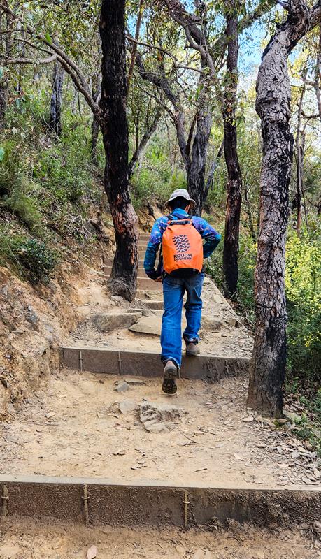
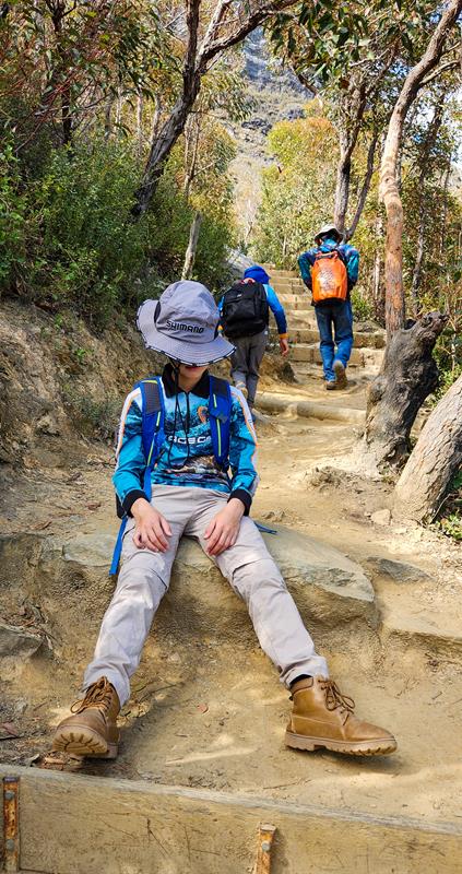
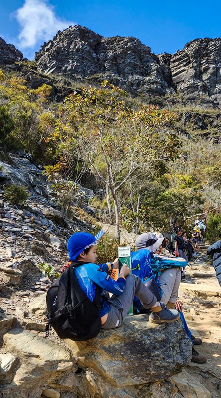
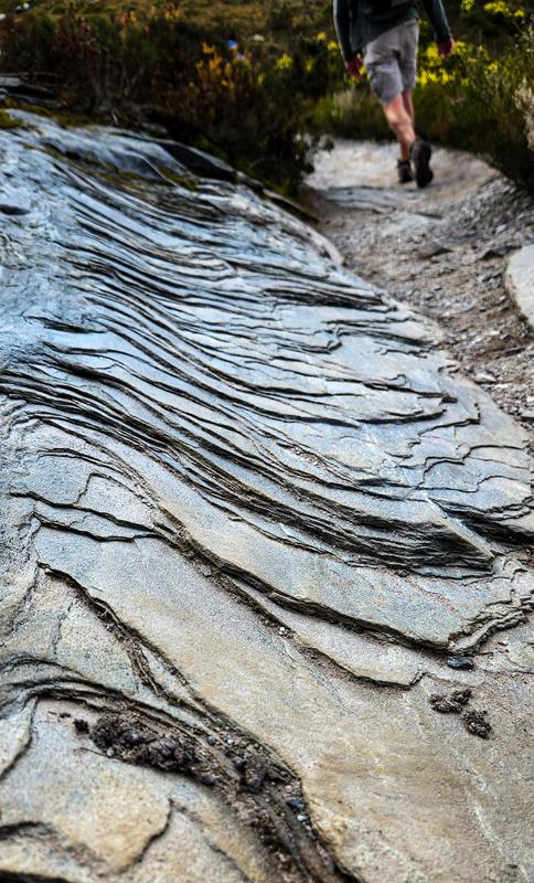
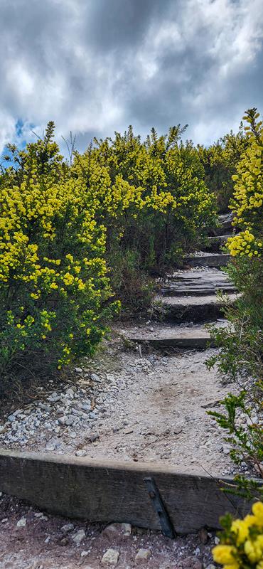
The trail to the summit is very well maintained. It starts as an easy paved trail through eucalypt woodland. It then gets rougher and exposed. The climb is quite steep for most of the time with the steps along the way. Due to this, it is very strenuous and is especially hard on the knees and you need to be reasonably fit. Many people climb Bluff Knoll every day but not everyone makes it to the summit. There are markers along the way, indicating the distance left.
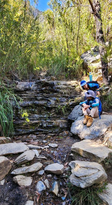
Roughly, 1/3 of the way, there is a nice small waterfall where you can sit on the rocks, recuperating. Roughly half way, you can see some rare flora like the mountain bells, which only grow at higher elevations (We’ve written a whole post on the flowers at Stirling Range NP, including Bluff Knoll). The views also become very picturesque here. The whole trail is 3,1km one way and it takes a couple of hours or so to climb.
Summit
Climbing Bluff Knoll is an experience by itself and very rewarding. But reaching the summit and seeing the views like that is like an icing on the cake (that is, of course, if you love sweets, then the analogy would make sense :)).
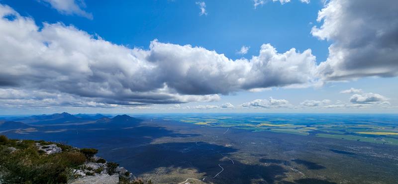
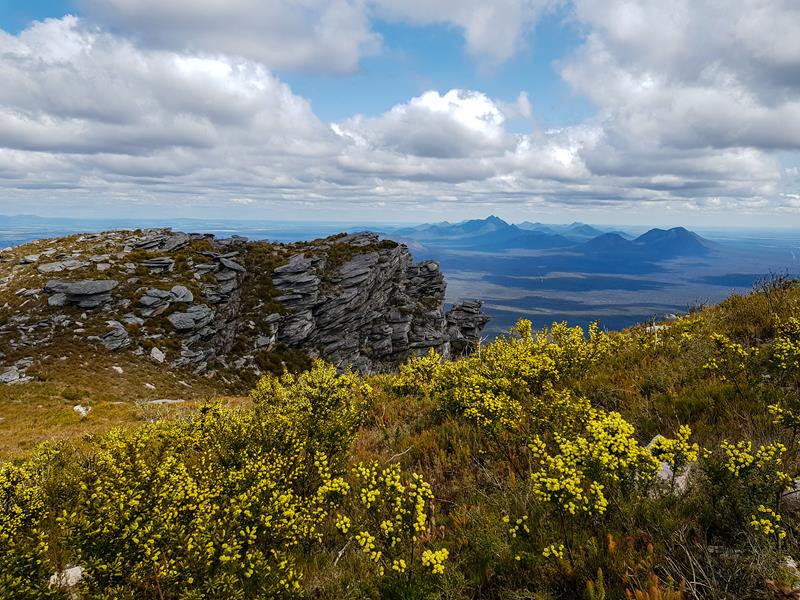
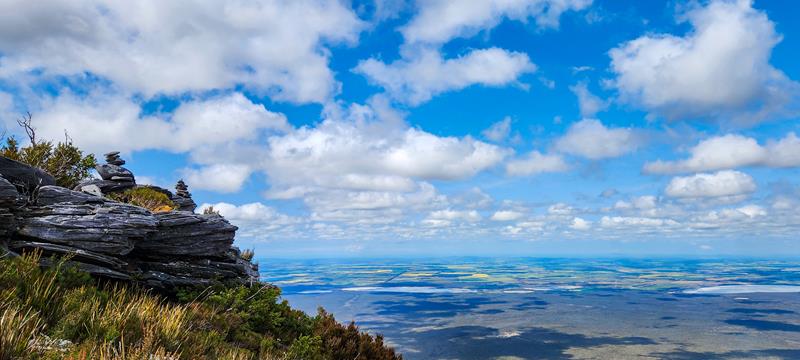
The summit offers amazing 360 degree views of the surrounding area.
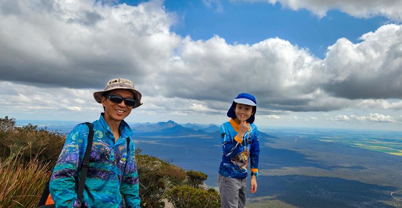
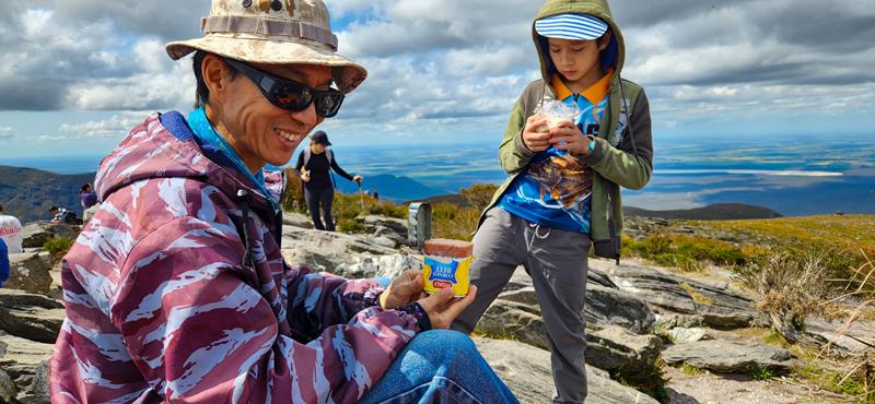
We spend nearly an hour on top of Bluff Knoll, enjoying the views, as well as having our lunch there. Many people were there too.
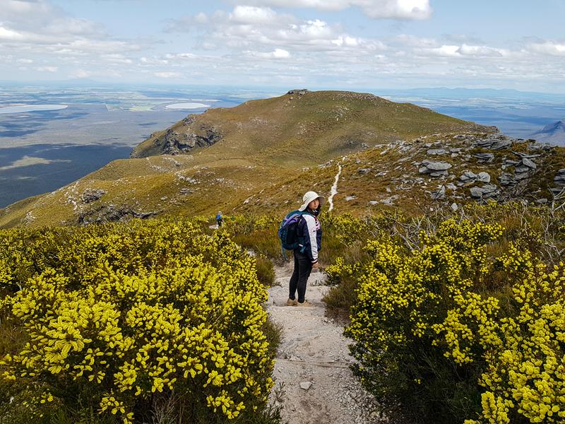
Now that the hard bit of climbing up was done, the summit reached and thoroughly enjoyed, (together with the lunch) it was time to go down. Going down was easier and faster but still it was hard work. We were also tired by then and had to stop a few times. But the views of the mountain ranges were gorgeous, and it kept us going.
Where is it?
Bluff Knoll is in Stirling Range NP, roughly 4,5 hours drive south east from Perth. It is easily accessible via sealed roads.
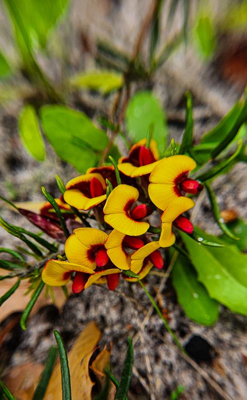
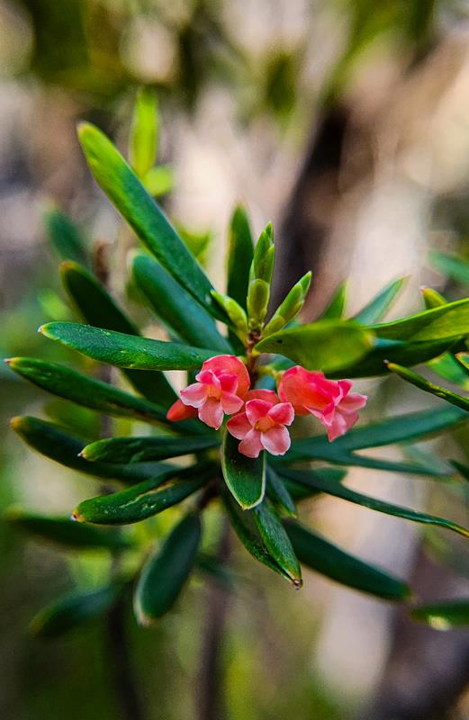
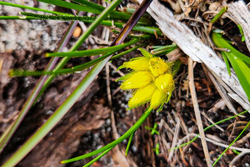
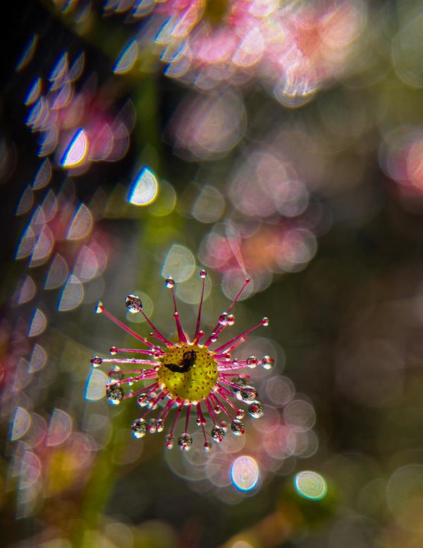
Harrisdale Swamp is a Bush Forever nature reserve, south of Perth, within the City of Armadale. The reserve is relatively large and is part of Jandakot Regional Park. It is rich in flora and fauna, which is the main reason for visiting this place. Anyone with a keen interest in wildlife, wildflower photography (more on this below) will find great delight at this reserve.
It has some interesting history, dating back to World War II, when the area was used for growing potatoes to feed soldiers. More on this here. Fortunately, it was declared a reserve in 1991 due to its high conservation values.
There are walking trails within the reserve. Some of them are impassable in winter during heavy rains. There are no facilities within the reserve.
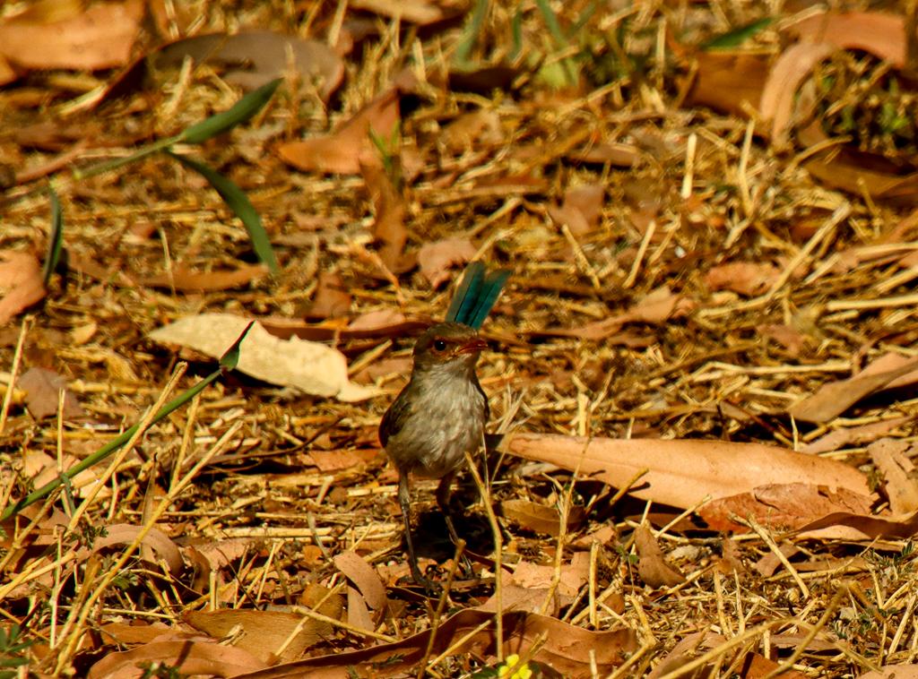
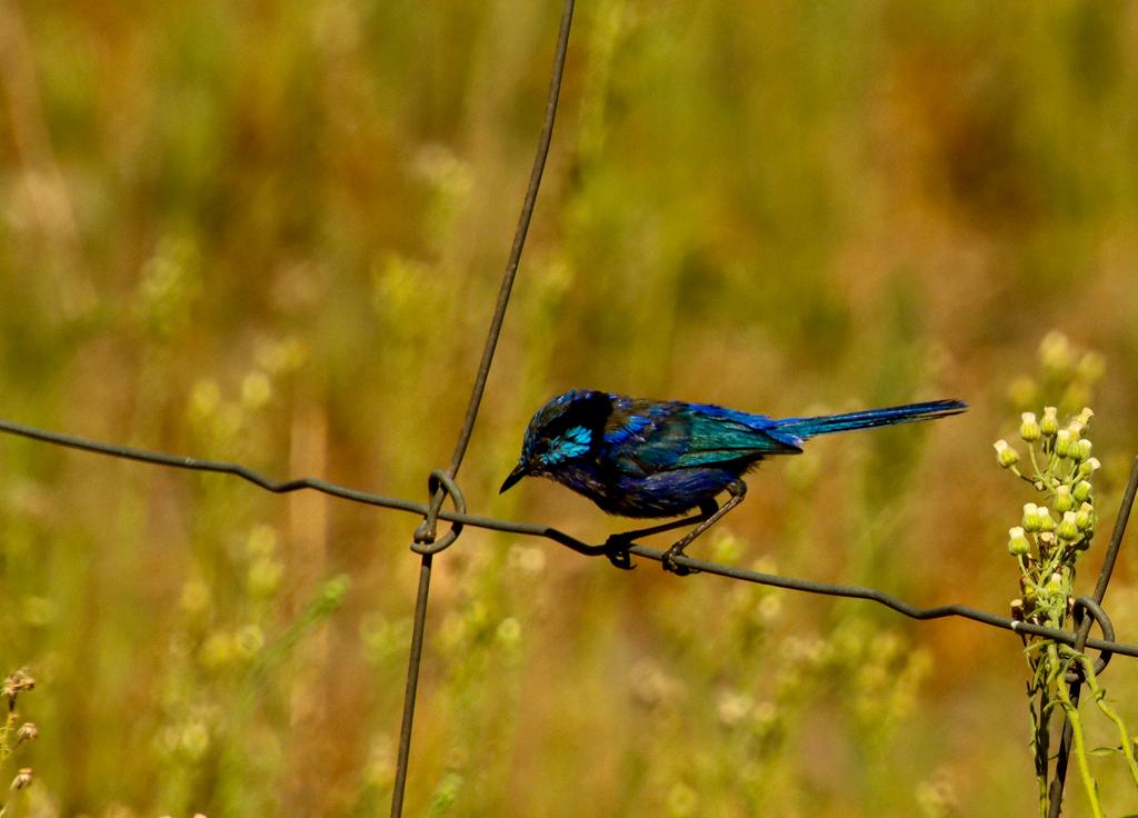
Birdlife is abundant there. When the wildflower season is over, I will be paying more attention to the various birds within the reserve. I already spotted numerous Blue wrens and heard Golden whistlers but I need to go back and hopefully take pictures of them.
Orchids at Harrisdale Swamp (blooming in August)
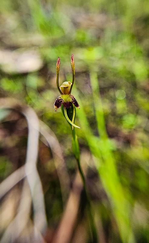
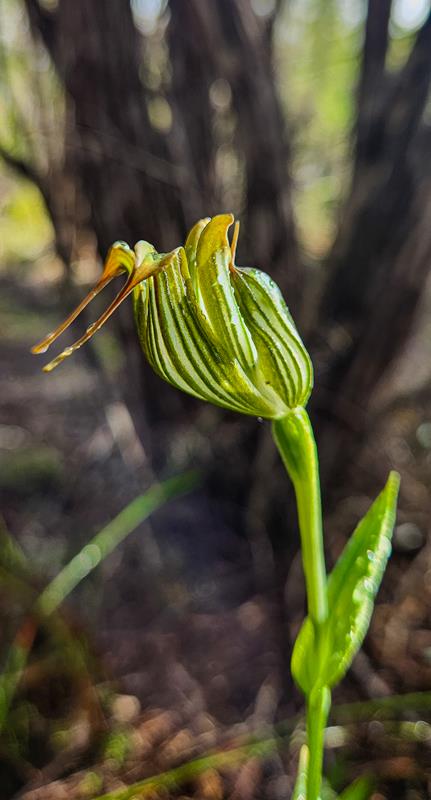
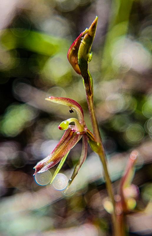
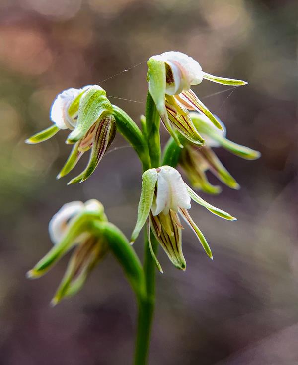
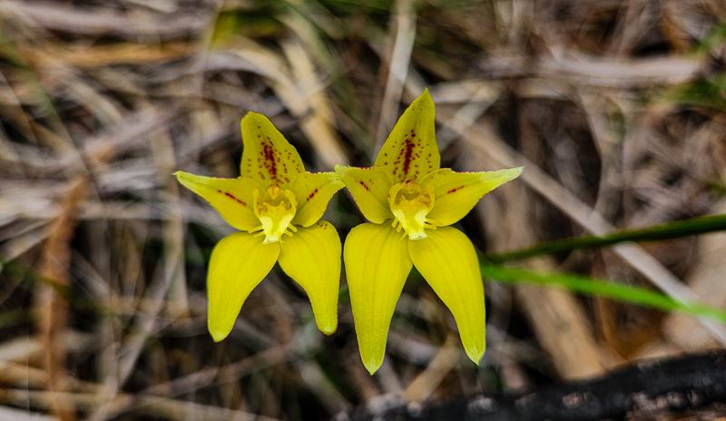
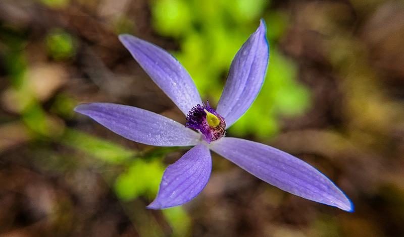
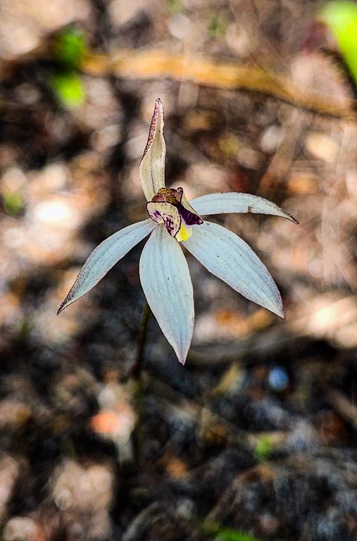
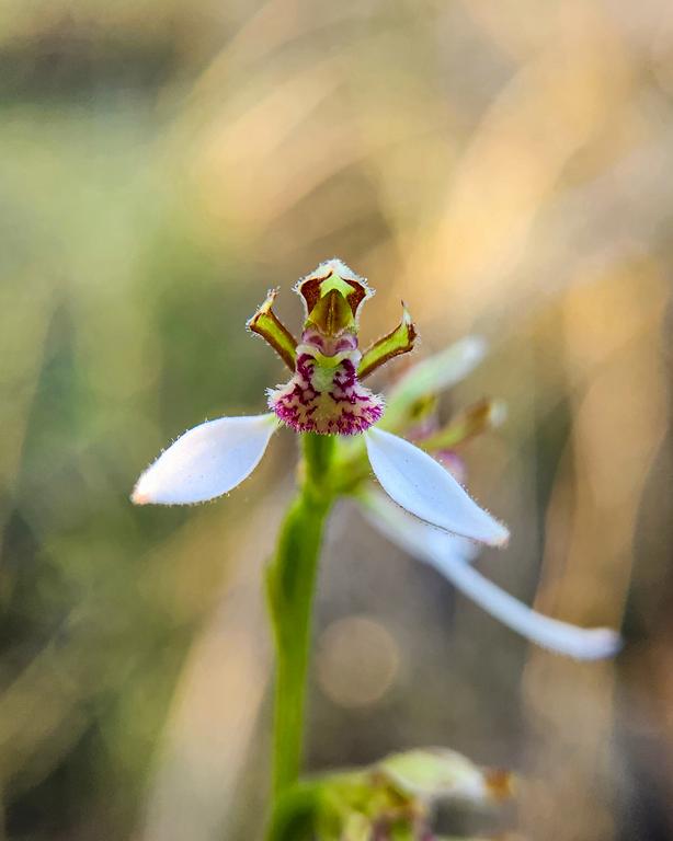
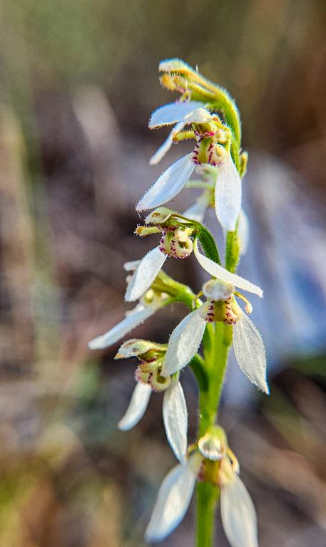
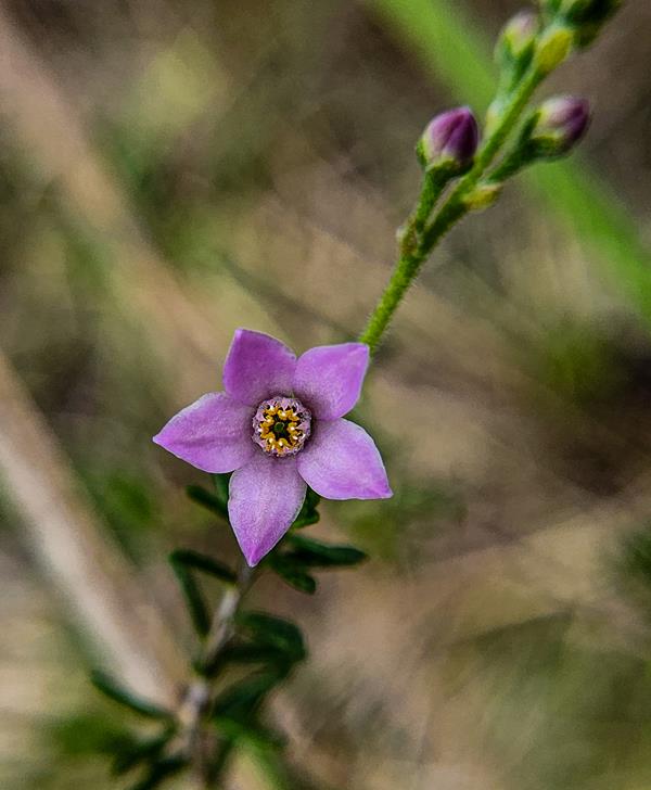
I was visiting Harrisdale Swamp weekly this year (2024). After sufficient rain I was delighted to discover and photograph 11 types of orchids growing there. There are more types of orchids growing there, but some of them were not flowering, like Red Beaks. Many native wildflowers, other than orchids grow there too.
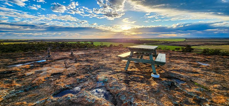
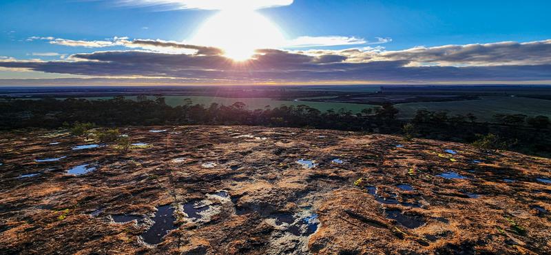
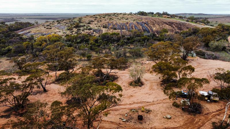
Marshall Rock in Northeastern Wheatbelt is part of the Wheatbelt Way Drive Trail and a popular leisure spot. It is located 280km from Perth and 7km to the nearest town Bencubbin. The rock itself is quite small and easy to climb. You can also drive up to the top (no caravans). From the top you can enjoy a 360-degree view of the surrounding fields, including nearby Lake McDermott.
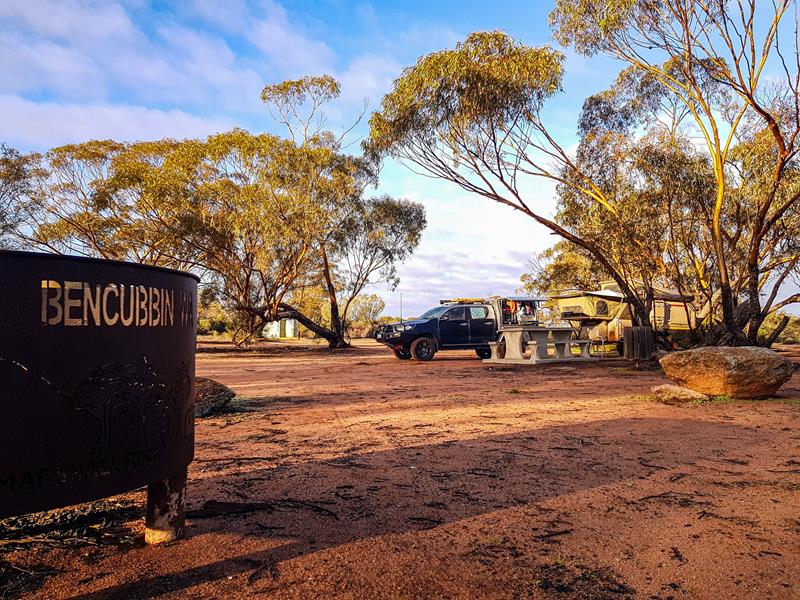
Marshall Rock campground
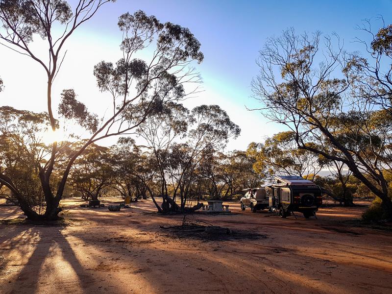
Marshall Rock campground is nestled between Marshall Rock and Gardner Hill. There are all the basic facilities there that a traveller would need, which include waterless toilet, non-drinking water, bins, a couple of picnic tables and fire- pits.
The campground is free and easily accessible, suitable for all types of vehicles and set up. And yes, you can bring your fury friend there too. Our neighbour had 12 of them 😊.
Photography and astrophotography at Marshall Rock
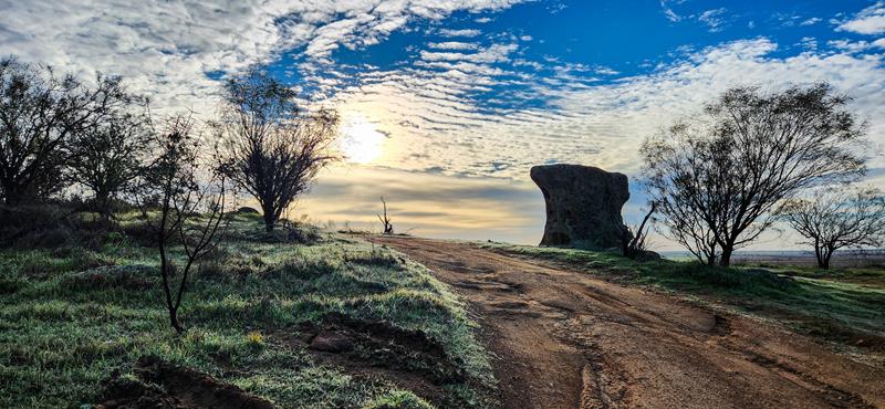
Marshall Rock is an easy and short hike, so it became my daily habit during our 3 day stay there. Every time the same rock and surrounding area looked differently. You can always find a new angle to look at the same thing 😊
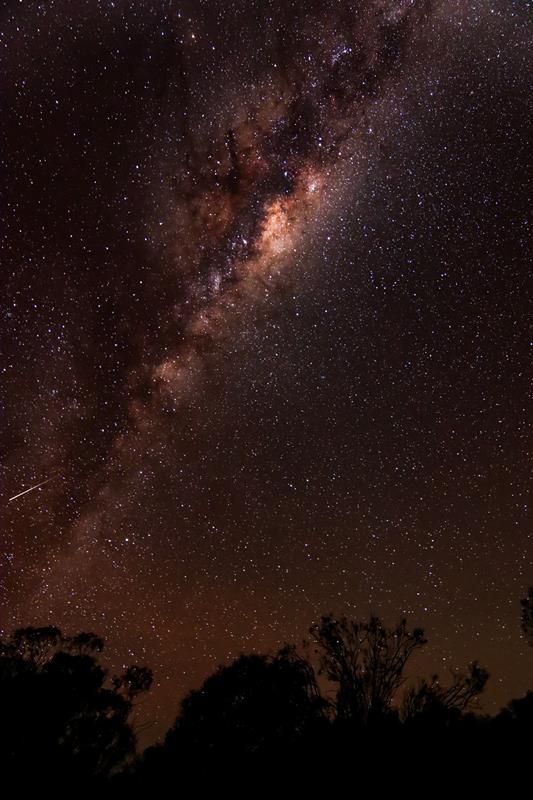
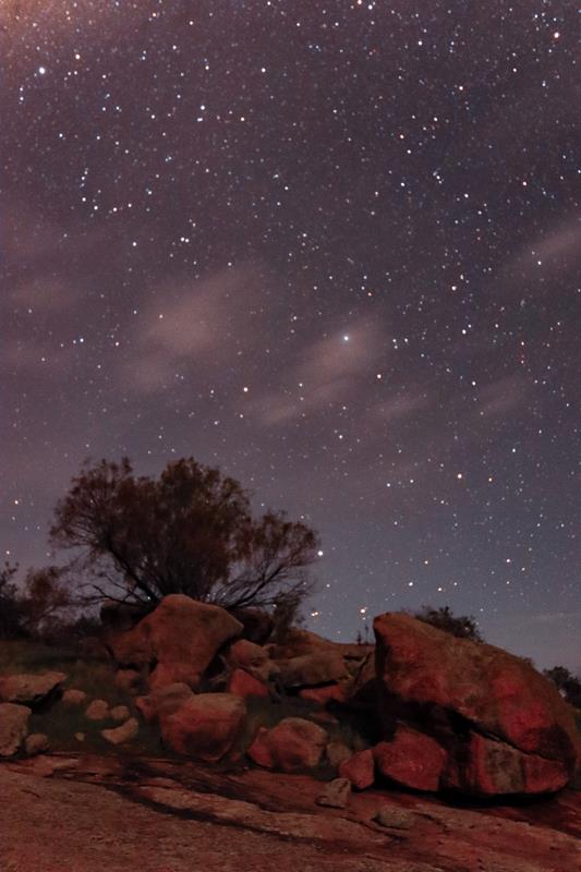
Marshall Rock is a great place for astrophotography.
Nearby attractions
Lake McDermott
Lake McDermott is a large salt lake, near Marshall Rock. Like many other salt lakes in that area, it is often dry. When it is full, it promises to be spectacular. During our recent visit there, it turned out to be impossible to come closer to it, to take a picture of the beautiful reflections in the water cast by the surrounding bushland. We ended up with boots full of mud which took a while to clean up. The lake, however, has excellent picnic facilities and walks around, and is a nice place to spend time.
Pergandes Sheep Yards
Another attraction nearby is Pergandes Sheep Yards. This is a short trip back in time, to 1910, when Pergandes family was the first to settle in the Mt Marshall district. Today visitors can see remains of an original homestead and sheep yards constructed entirely from nearby rock. Information boards describe life of early settlers and how they contributed to the development of the area. Well worth a visit.
Waddouring Dam
Also part of the Wheatbelt Way drive trail is Waddouring Dam. Built in 1929 to provide water to the nearby town Bencubbin, it is now used for recreation purposes. Waddouring Dam is a great picnic and camping spot.
There are two camping areas there. The camp closer to the water edge has a waterless toilet, non-drinking water and a picnic table. This camping area is small but there is another larger camping area further away from the dam (closer to the entrance). The camping areas are free to use. They also have fire pits. While the water in the dam seems clear enough, swimming is not recommended but you can safely kayak and paddle. We didn’t stay at Waddouring Dam but enjoyed visiting it and talking to those people who camped there.
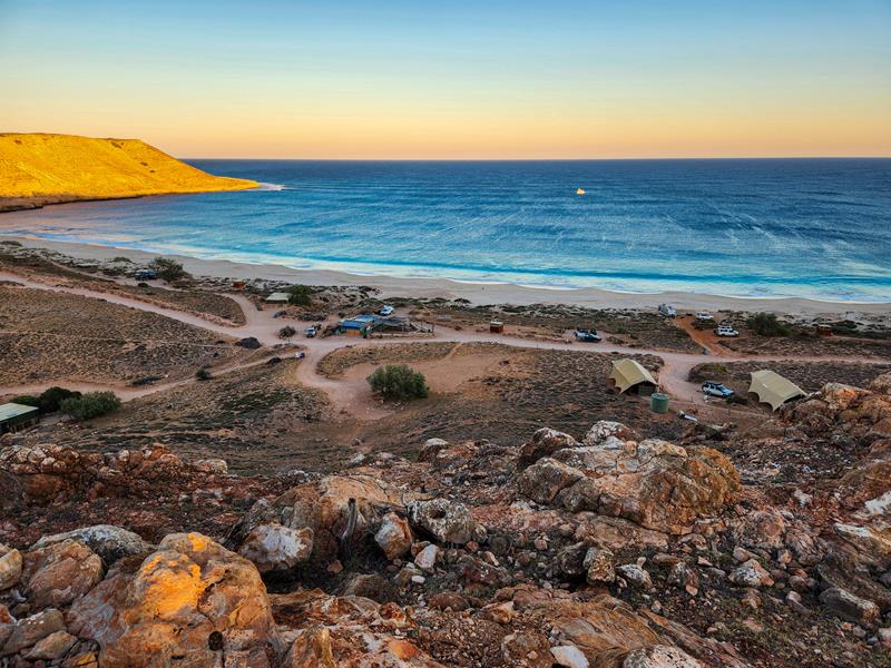
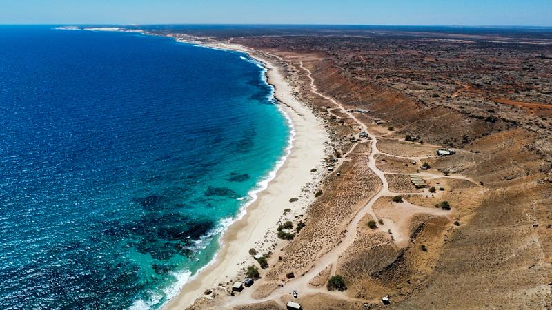
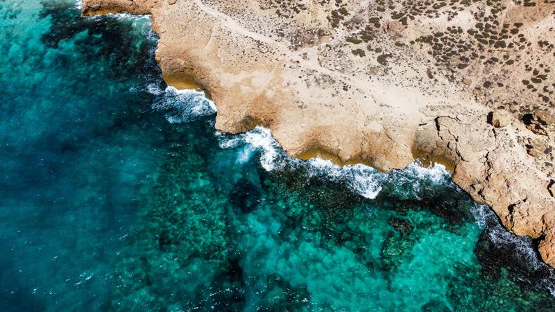
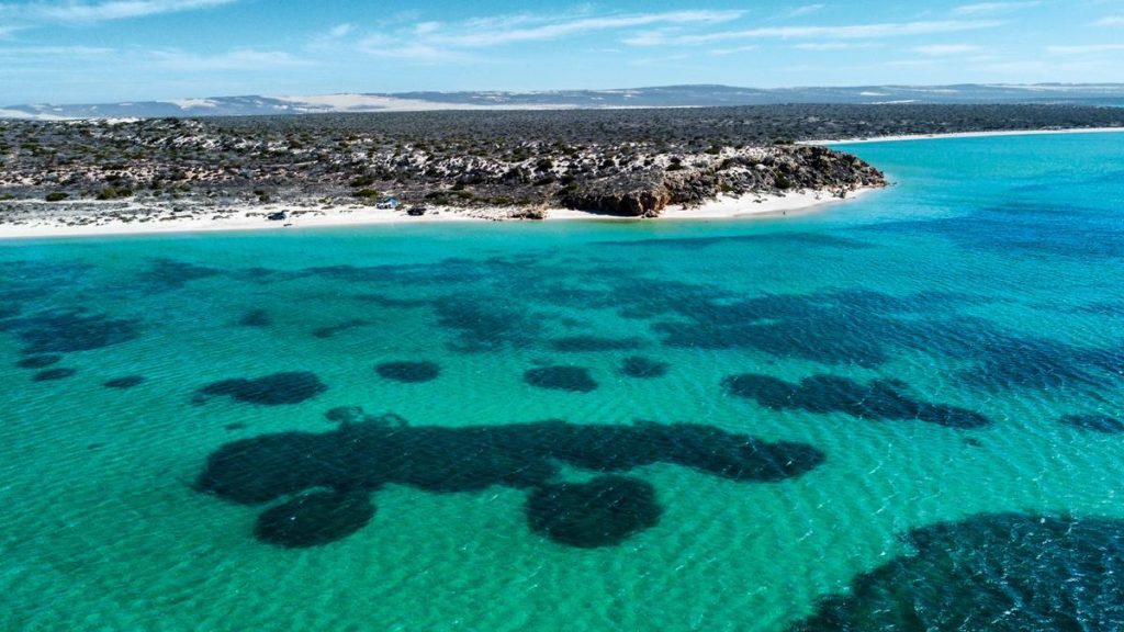
Red Bluff is 125km north of Carnavon, at the southern end of Ningaloo Marine Park, along the beautiful Australia’s Coral Coast. Red Bluff campground is owned by Quobba Station. The 60km unsealed road (from Quobba Station) is corrugated and can be rough but suitable for 2WDs and off-road caravans.
Red Bluff campground
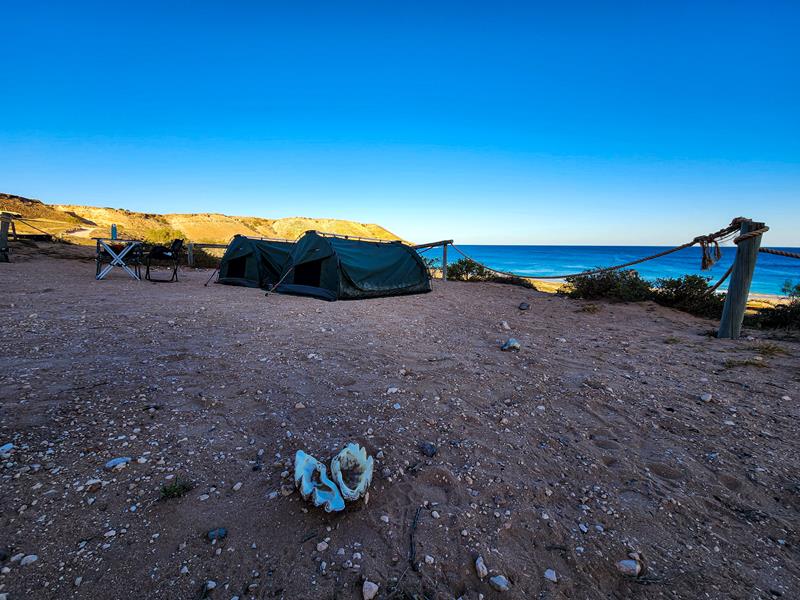
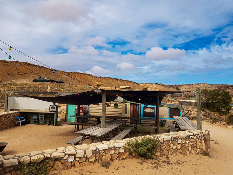
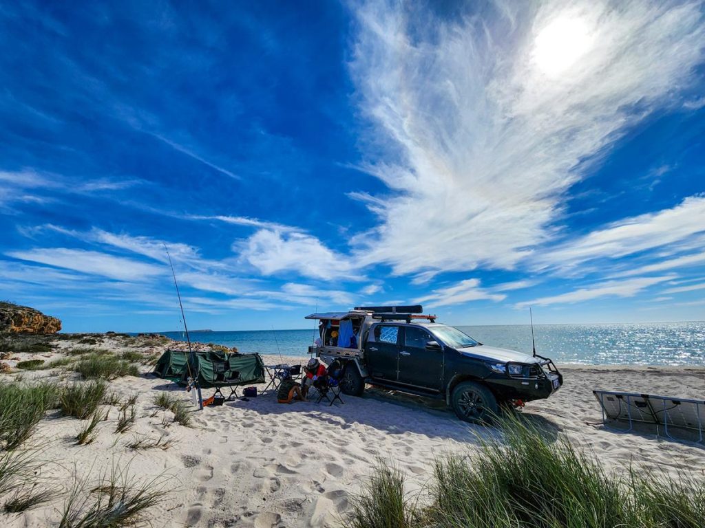
Facilities at the campground include many rustic long drop toilets with water and soup for washing hands. There are also bins and some shelters and benches around the camp. The sites are scattered around a big area. Whilst the sites are designated, they are not numbered and you can choose your own site. Most sites have beach views. They are quite large, although not quite levelled, which might be an issue for large caravans. We normally use Max Tracks to level the vehicle as we rely on it for our cooking needs.
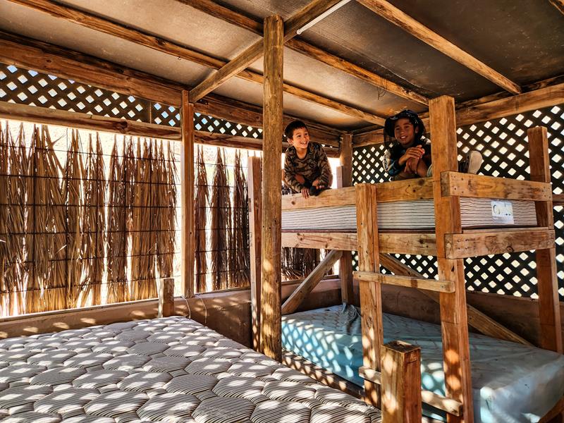
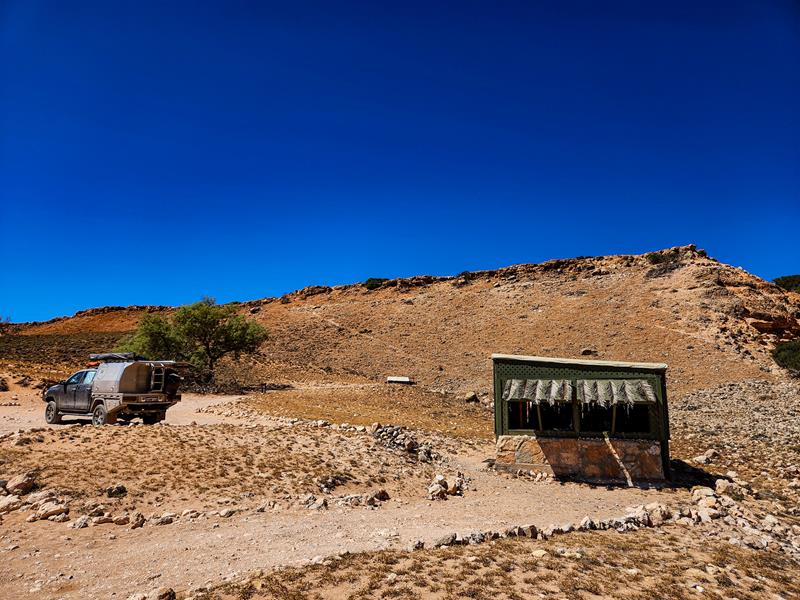
There are also eco tents, bungalows and beach shacks to suit different needs and preferences. In fact, after staying for one night in our swags, we got a privilege of being upgraded to a beach shack. We decided take on the offer and enjoy shade while still having fantastic beach front views. Here is a short reel, showing how Australian beach shack looks like inside.
The cost is $22 per adult, $10 per child (prices in 2024) per night for camping under the stars. There are campfire pits at each site, which would be nice to use in cooler weather (we were there in April and didn’t have any campfire). The best thing about the campground is “rustic station stay feel” of this place. There is also a small shop and a café which opens at certain hours. The owners do allow dogs on leash, if you want to bring your furry friend.
What to do and see at Red Bluff
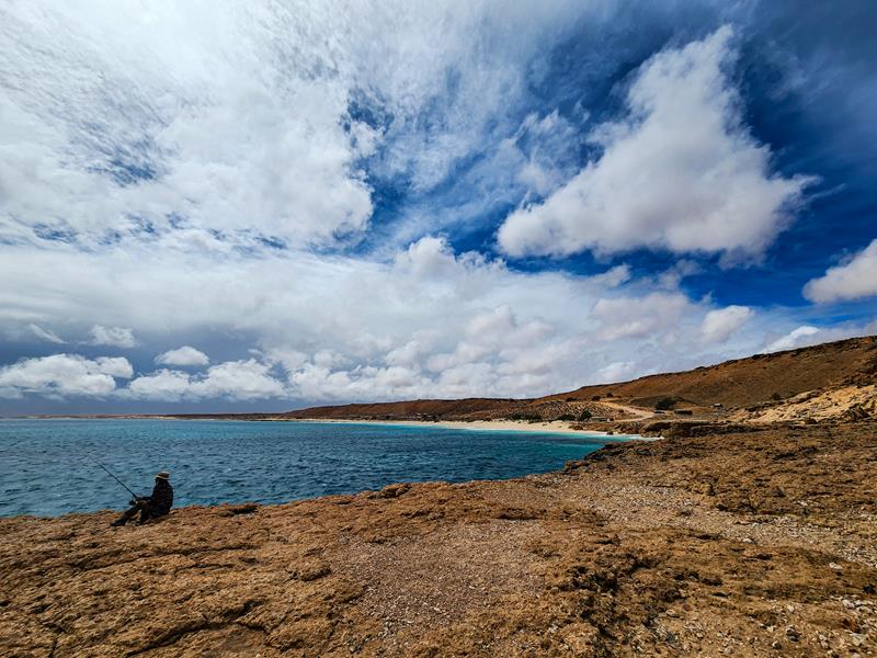
Red Bluff is considered a great fishing and surfing spot.
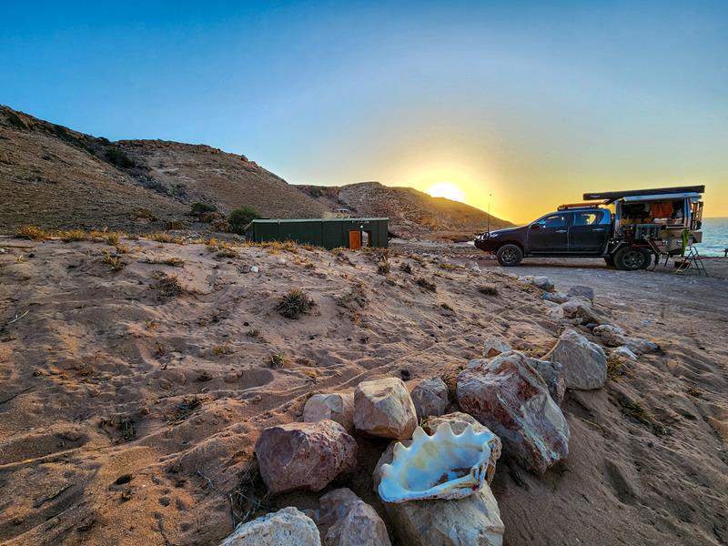
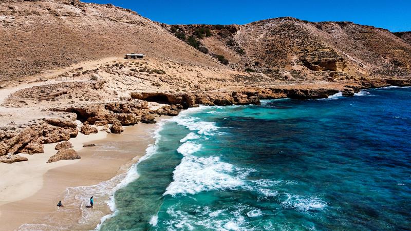
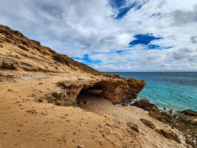
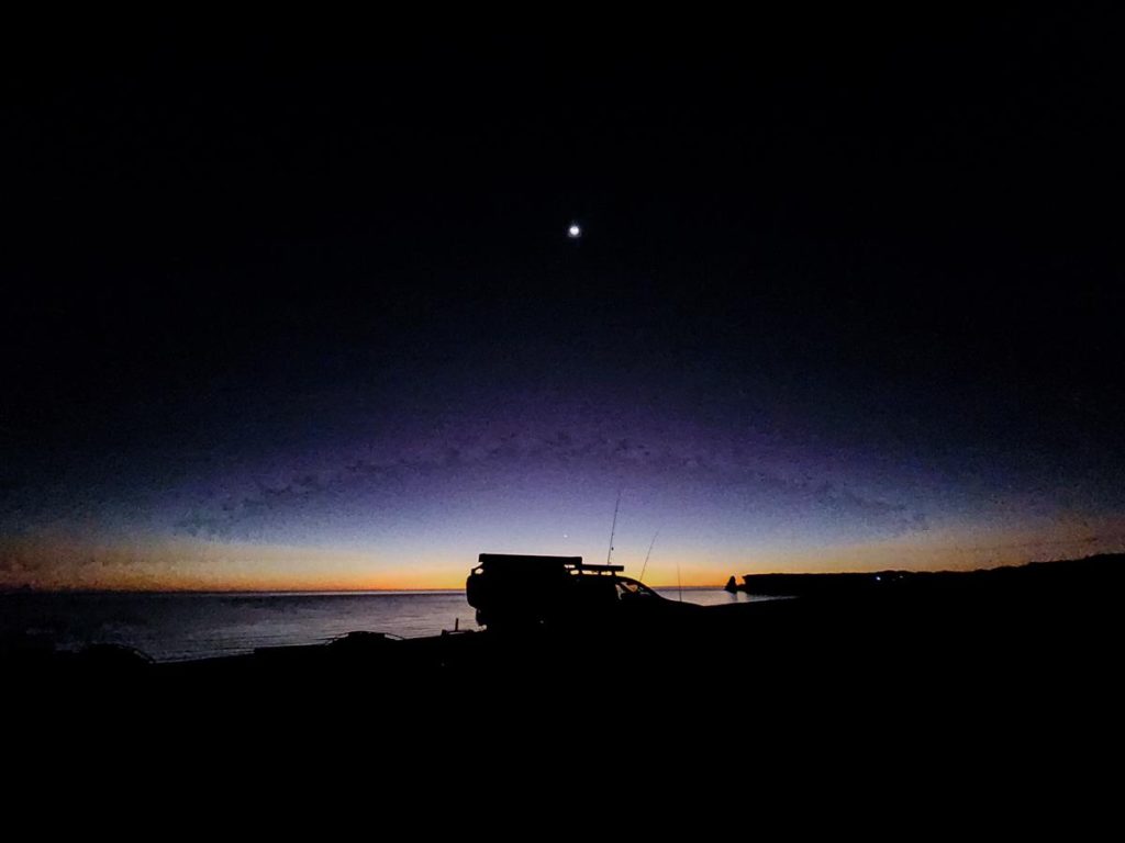
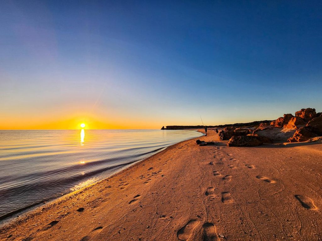
It is also an awesome place for star gazing and photogrpaphy. The sunrise and sunsets over the bluff are sensational. Rocky outcrops and shells add contrast to dark blue waters of mighty ocean.
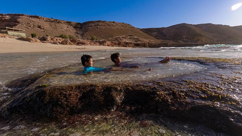
At low tide, receding water creates a few little lagoons and spas, perfect for bathing and soaking in.
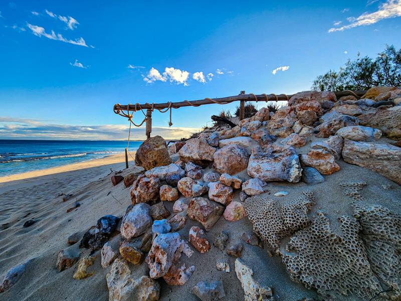
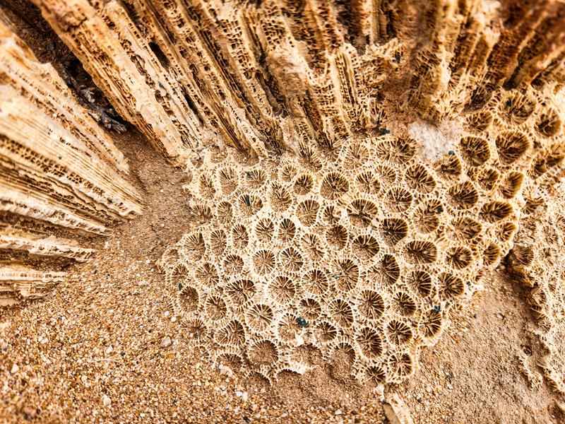
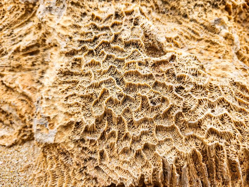
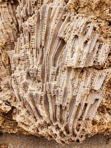
You can find many dry corals on the beach. They are simply amazing to admire.
Coastal 4WD track
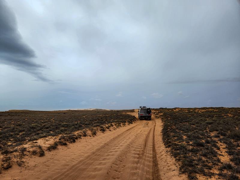
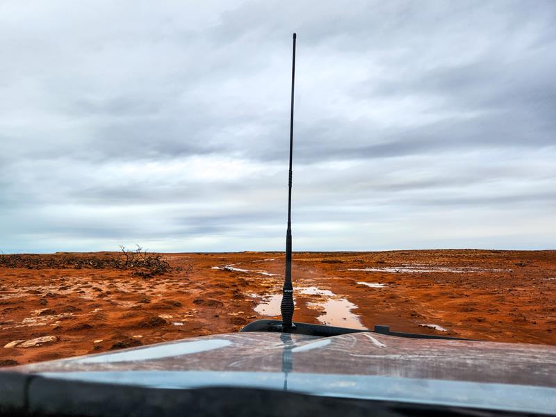
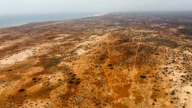
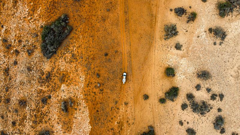
We took a coastal 4WD track from Red Bluff to Gnaraloo Bay. It was quite an adventure. What started as a clearly marked track turned into a series of puzzles. We came to numerous forks, taking one turn only to find a gate with No Access sign on it. Taking a different track didn’t provide a solution either. The track kept disappearing, turning into a section of rocks. Having crawled over it, we found a track appearing again. Taking the 4WD track we hoped to visit a few attractions along the coast. But it led us nowhere. Short reel about this track is here.
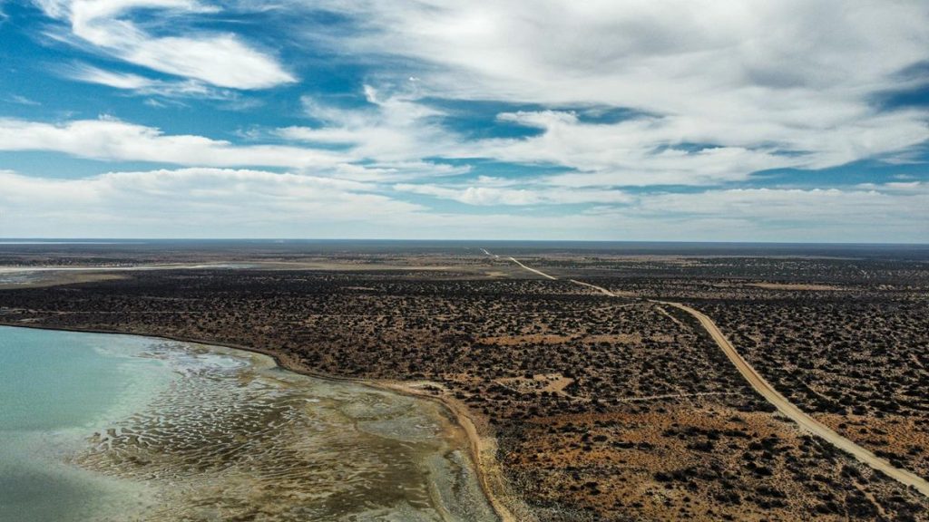
We even had to use a drone once to look for a track and directions.
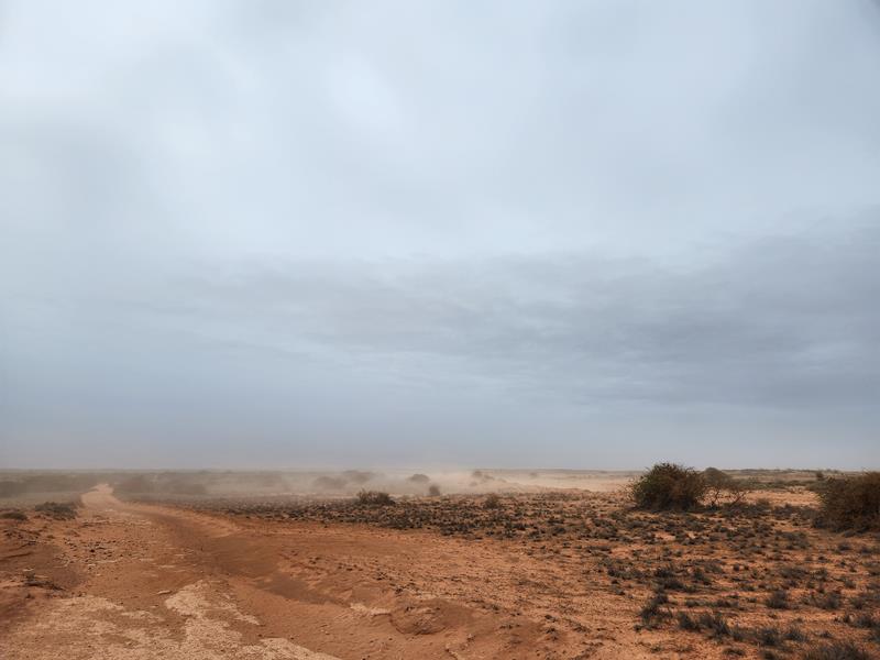
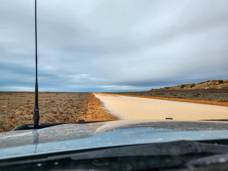
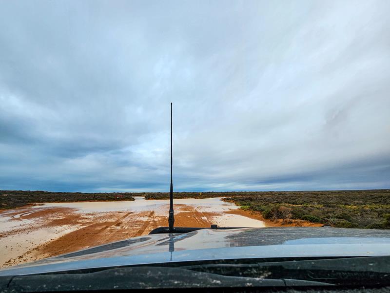
To make things worse, the weather wasn’t favourable at all. After a couple of hours of driving we did arrive at Gnaraloo Bay, having missed all the attractions on the way, only to find that the entrance to the beach was flooded. The wind was extremely strong to enjoy afternoon tea, so we jumped back into the car and drove back to the camp with tyres full of mud.
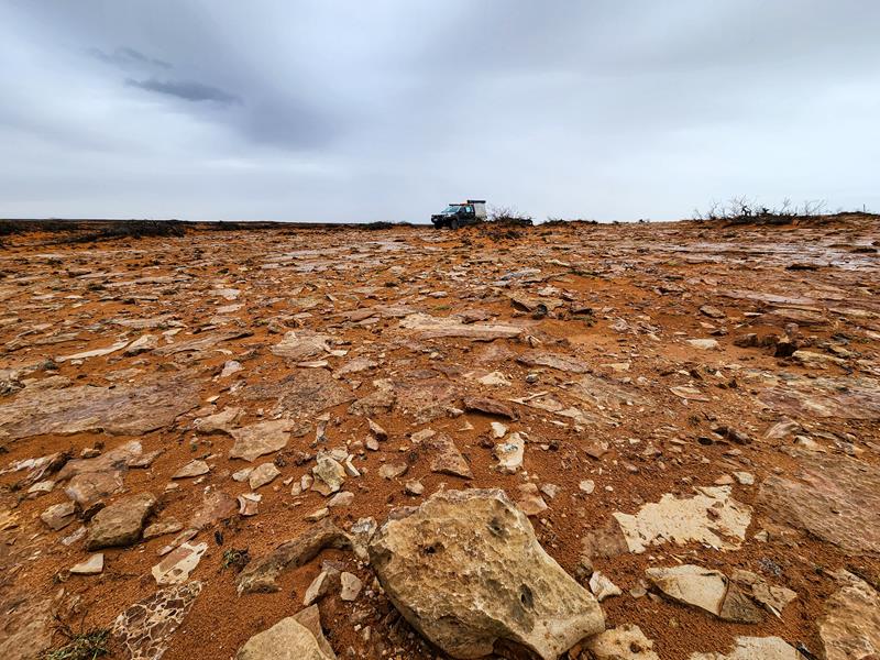
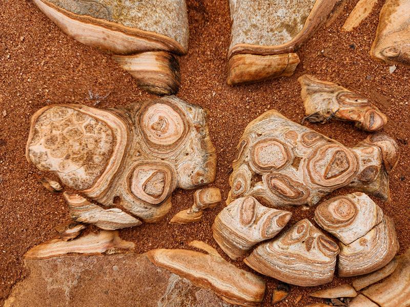
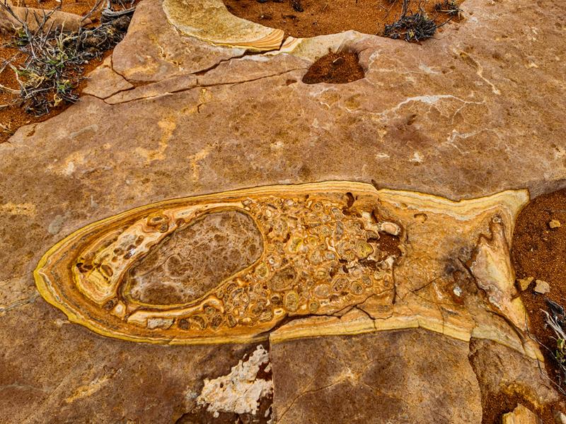
Nevertheless, we enjoyed our 4WDriving trip. As we stopped a few times, I noticed these amazing rock patterns. Some of them looked like Aboriginal paintings.
One looked like a fish, another like a broken pieces of a skeleton :).
Eagle rays at Red Bluff
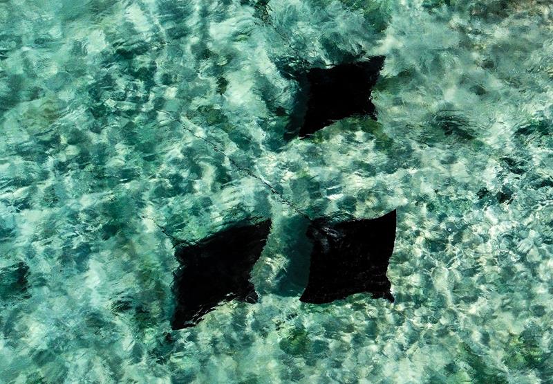
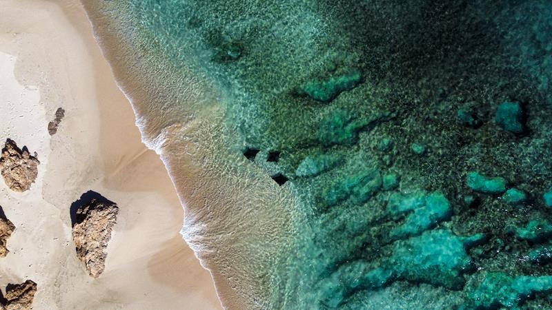
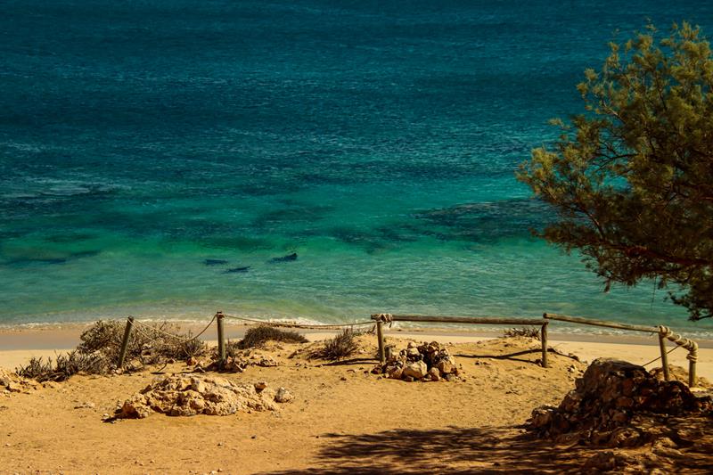
On the last day of our stay at Red Bluff, as we were packing up and nearly ready to leave, I went to have a last look at the beautiful ocean. Luckily, I did, as I spotted 3 eagle rays swimming very close to the shore. We spent at least half an hour watching them swim along the coast back and forth.
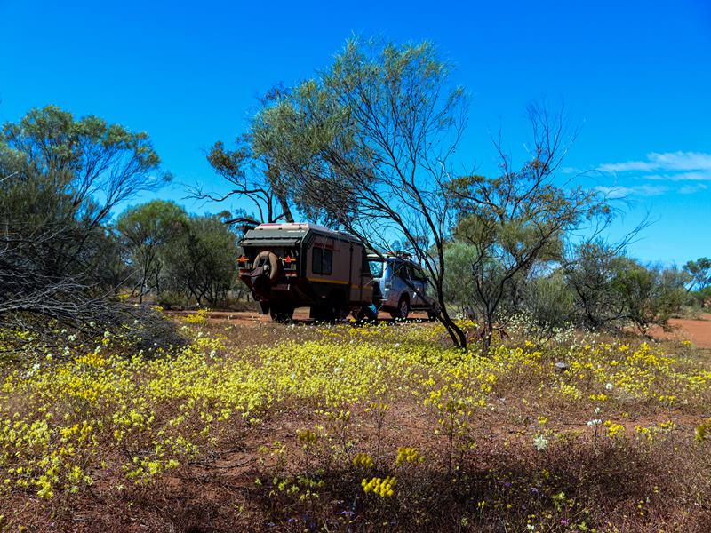
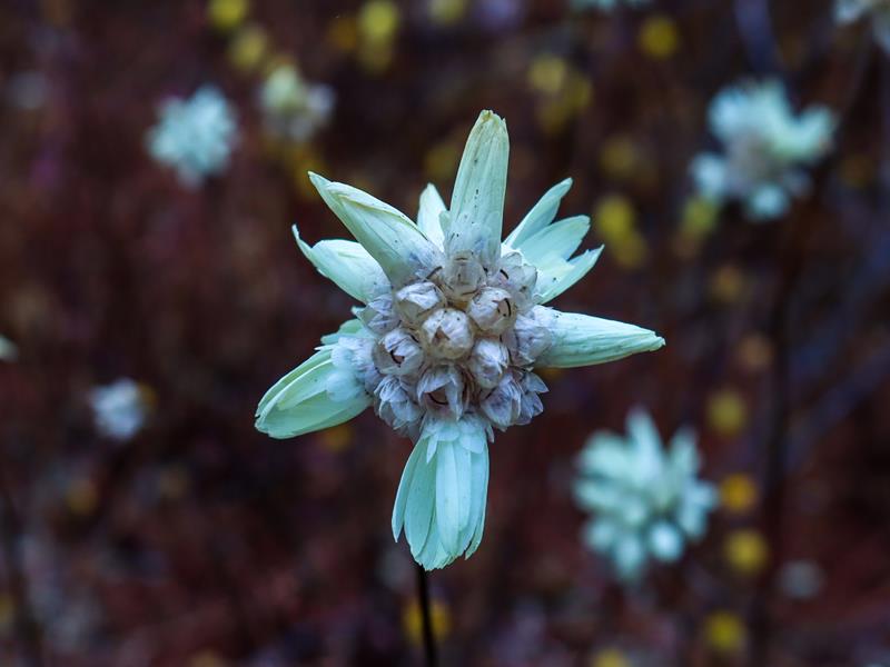
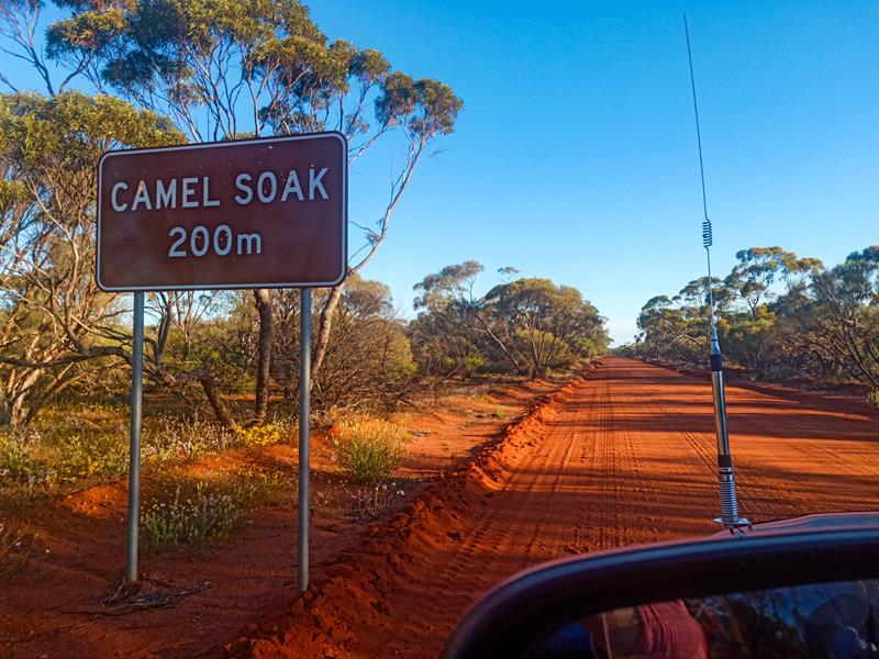
Camel Soak was a pleasant surprise. We were considering staying at Karara Rangeland Park during our Wildflower Country trip in September 2022, which included Coalseam Conservation Park,Depot Hill and Wreath Flowers near Pindar. Then we discovered this free camp ground just outside of Karara Ranglelands. It is a picnic, as well as a free camping spot with clean long drop toilet (and a sink with pump soap to wash hands), picnic tables and fire pits. There are plenty of spaces to choose from. During the wildflowers season, it is particularly picturesque, as the wildflowers are everywhere. In fact, as we set up our camp, we found that we were surrounded by gorgeous yellow everlastings. It was such a pleasure to wake up to such a beauty.
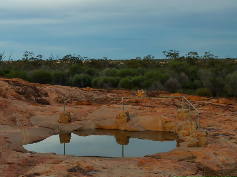
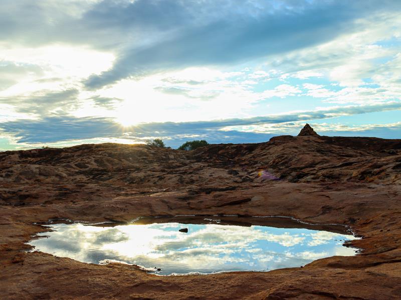
Camel Soak is also an interesting historical site. It has a man made granite watering hole, where men and their camels obtained the water while building the Rabbit Proof Fence in the early 1900. I suppose, this is where the name is coming from.
Although we only stayed one night, we could easily have stayed longer, if we had the luxury of time. It is such a wonderful spot to go for walks and also for bird watching and admiring wildflowers.
Where is Camel Soak?
Camel Soak is 47km east of Perenjori, just off the Perenjori-Rothsay Road in the Mid West region of Western Australia and is easily accessible via a 2WD. It is roughly 360km north of Perth. It is considered part of WA’s Wildflower Country.
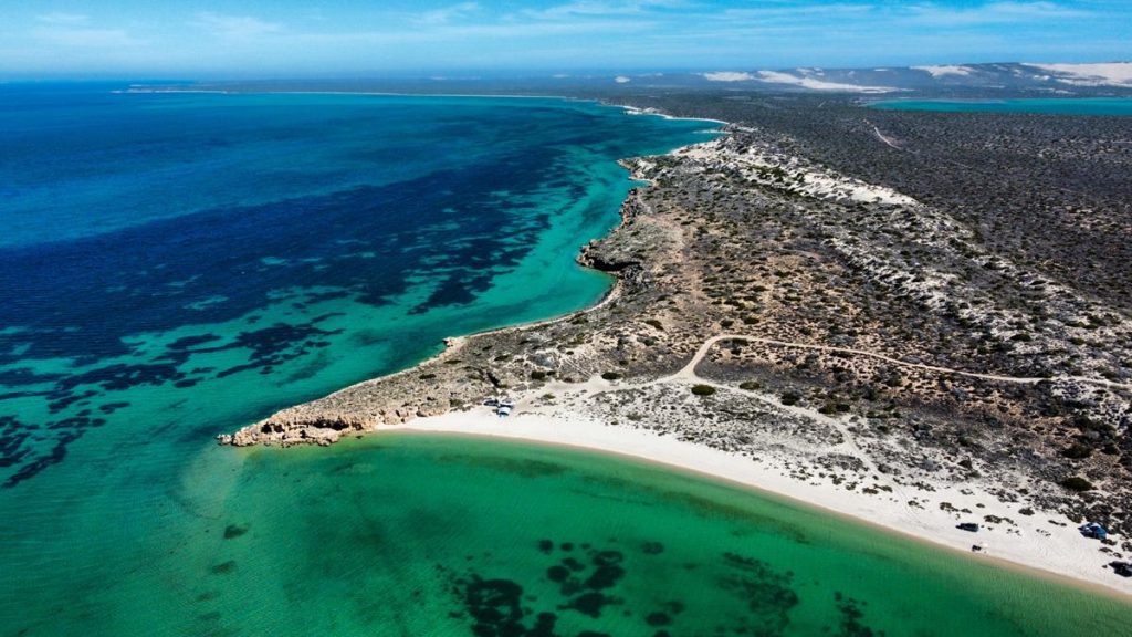
Dirk Hartog Island is Western Australia’s largest island. It is located 2km off shore from Steep Point – Australian mainland most westerly point in Shark Bay. The island got its name after a Dutch sea captain Dirk Hartog, who was the first European to step on the island in 1616. Current “Return to 1616” ambitious project aims to restore ecological balance on Dirk Hartog Island to its pristine condition prior to European settlement in 1616. First settlers brought goats and sheep with them which caused damage to native plants and reduction of native fauna. Since the start of the project in 2007 these domestic animals have been removed and are now replaced with native species. Feral goats still occur in large numbers in Edel Land National Park.
How to get there
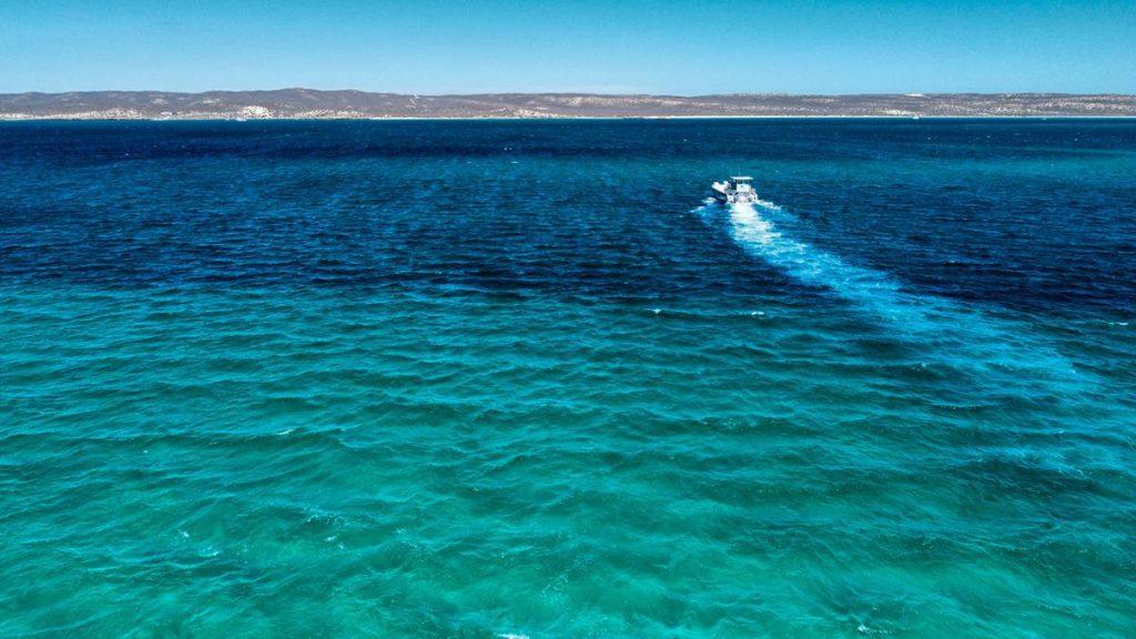
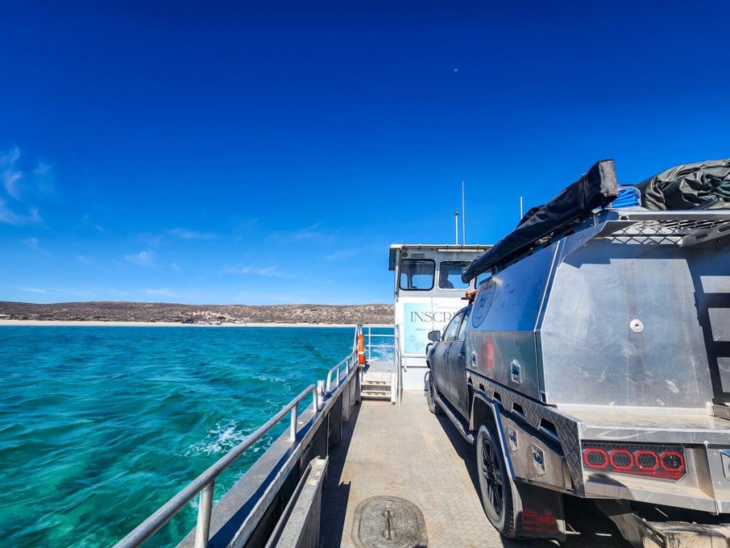
Dirk Hartog Island is accessible only by boat from Denham, light aircraft or a private barge from Steep Point. Most people, especially the 4WD enthusiasts, choose a barge to get there. Barge transfer is an experience by itself and is quite iconic. 2km long journey across South Passage from Shelter Bay in Edel Land National Park takes about 15 minutes. The barge can accommodate only one vehicle.
What is the condition of the track like
Driving on Dirk Hartog Island is an adventure by itself. At nearly 80km long and 15km wide, travelling on the island is a bit of a challenge due to heavy corrugation. It might take a full day to travel from bottom to the top of the island. Should you be driving fast there? Here are our thoughts.
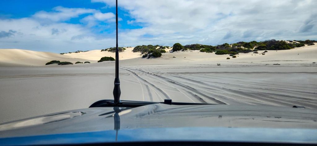
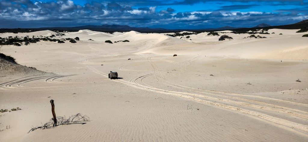
There are also some rocky sections, slopes and tilts and few sand dunes to cross. You will definitely need a reliable 4WD for this kind of terrain.
Camping at the national park
It is possible to camp on Dirk Hartog Island either in the Homestead or in the national park. There are only 20 sites at the Homestead and 20 at the national park. Bookings are essential through Dirk Hartog Island Homestead site. There are no facilities at the national park and you would need to bring everything with you and take your rubbish when you leave. No dogs and no campfires are allowed at the national park.
We stayed at Notch Point in the national park, which is the closest to the barge arrival site campground on Dirk Hartog Island. It is located on the eastern side of the island, which is protected from strong winds and has clear calm waters. There are only 2 spots allocated for camping either side of a beach, which gives everyone plenty of space and privacy (just as we like it!). You pay premium for such a privilege to camp in this pristine idealistic place. We spent 4 epic days and nights at Notch Point, fully enjoying ourselves, despite millions of flies 😊. They are part of camping, anyway, and we just treat them as such.
Like anywhere on the island, you can enjoy fishing, swimming and snorkeling, or just relaxing by the beach.
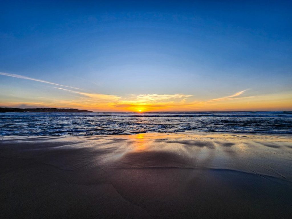
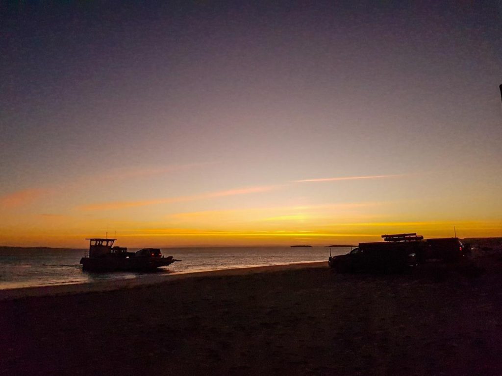
The sunsets and sunrises are some of the best we’ve ever seen.
Dirk Hartog Island Homestead
A lot of people choose to stay at Dirk Hartog Island Homestead sites where there are more facilities (including hot showers) and also onsite bar and merchandise shop. It is a great place for those who want a bit more social life in this remote location. When people gather at the bar every afternoon, it feels like a little village with all the buzz going on.
We stayed for 1 night at the Homestead, so we didn’t need to travel far for the barge transfer in the morning.
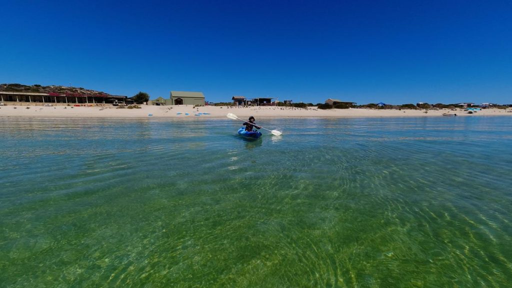
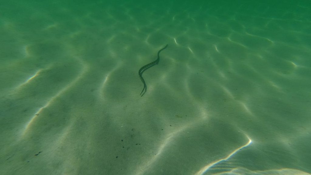
The best thing about the Homestead for us was free use of paddle boards and kayaks, which we enjoyed very much. We managed to see sea snakes, sting rays, star fishes and tropical fishes.
What to see on the island
Blowholes
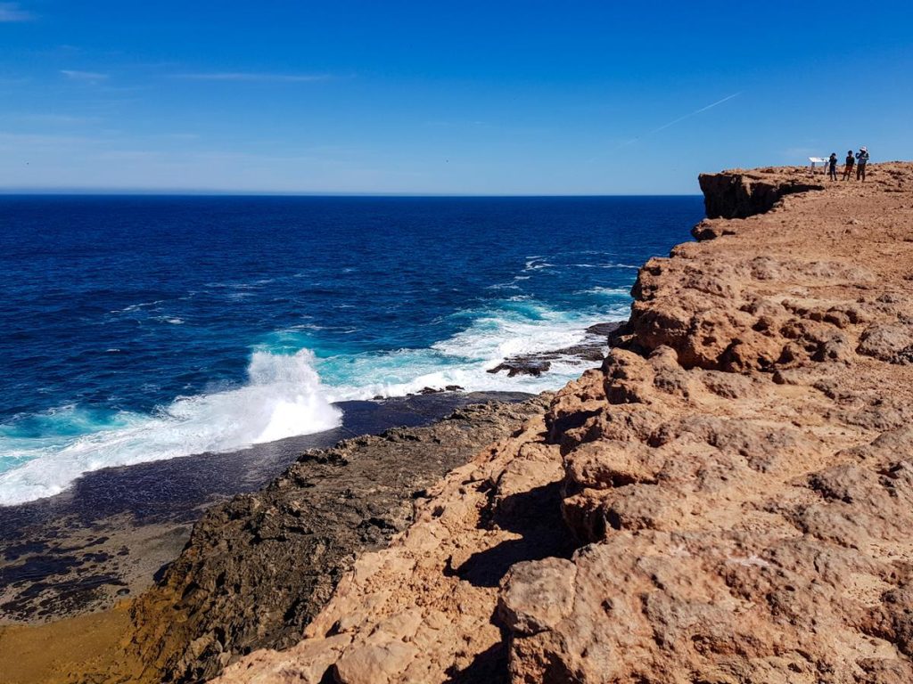
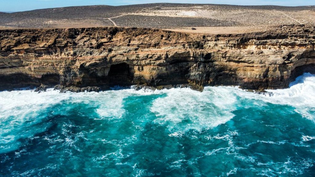
The first thing you might like to see as you arrive on the island is blowholes. We found the blowholes in Edel Land National Park more impressive (meaning, louder and bigger). But these are still worth a visit, even if to appreciate the beauty of the landscape. Those massive Zuytdorp Cliffs rising out of mighty ocean are awesome. They are a visual example of fault scarp, which is actually the longest in Australia. Blowholes are on the western side of the island, 3km off the main track, on the way to Dirk Hartog Island Homestead.
Surf Point
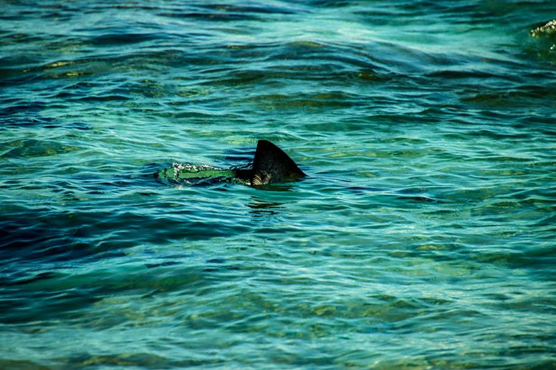
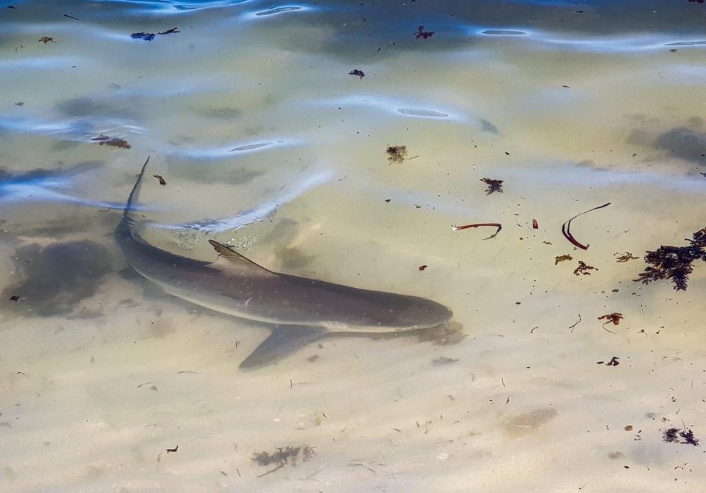
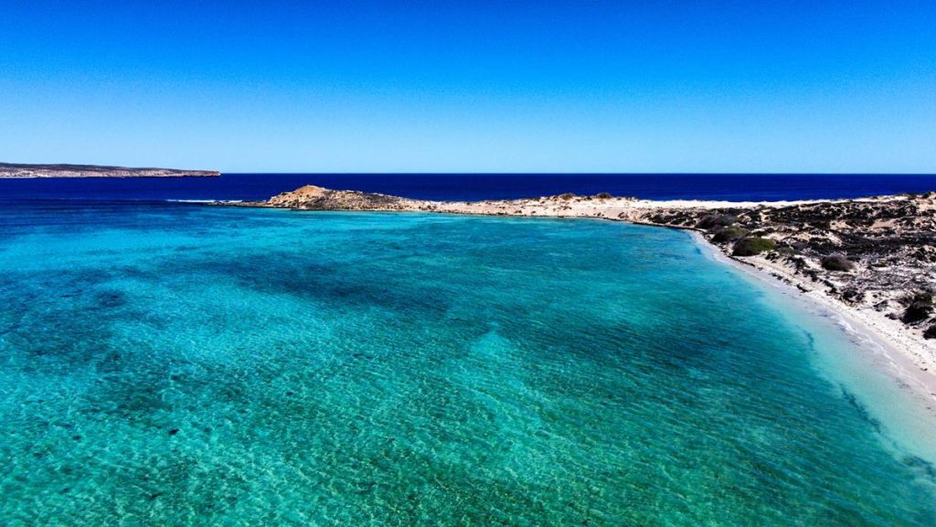
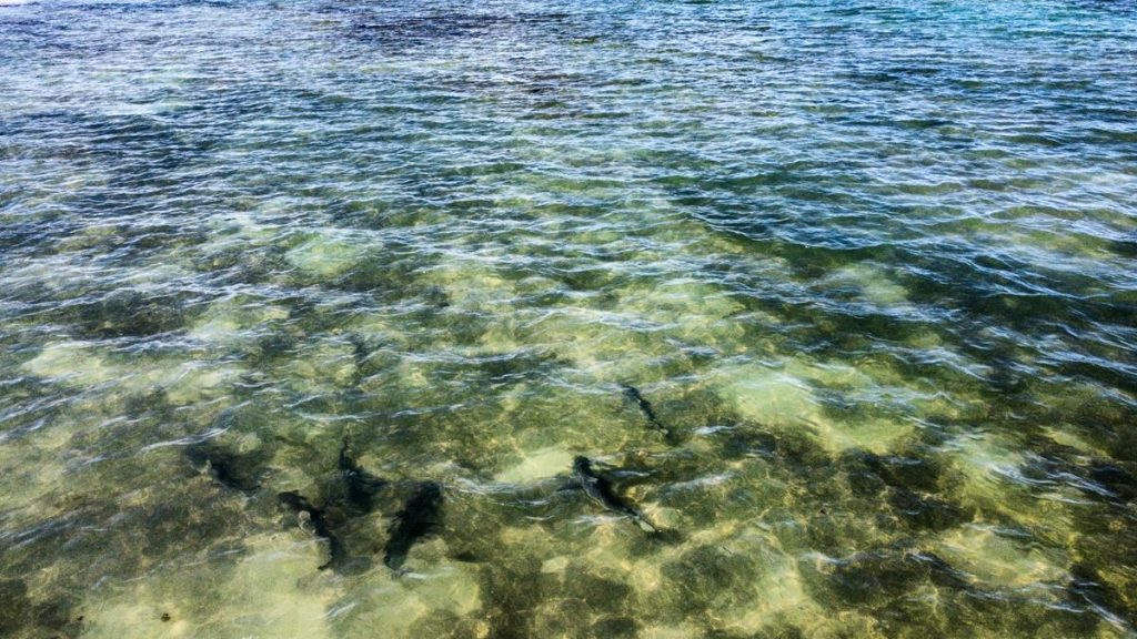
Surf Point might need a bit more time than just a quick visit. It is a sanctuary zone in the south of Dirk Hartog Island. It is a 15km drive from Cape Ransonnet (the barge arrival site), on the western side. Surf Point is a great place to go snorkeling (assuming you don’t mind sharing the space with sharks 😊). The sharks, even though being small and relatively harmless, do scare many people away. But honestly, sharks looked more scared of us, then we of them 😊.
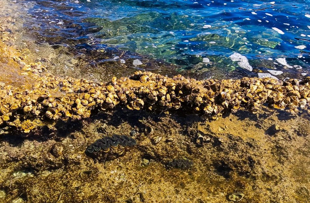
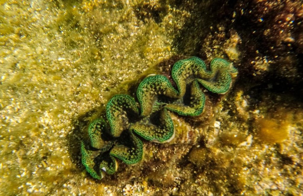
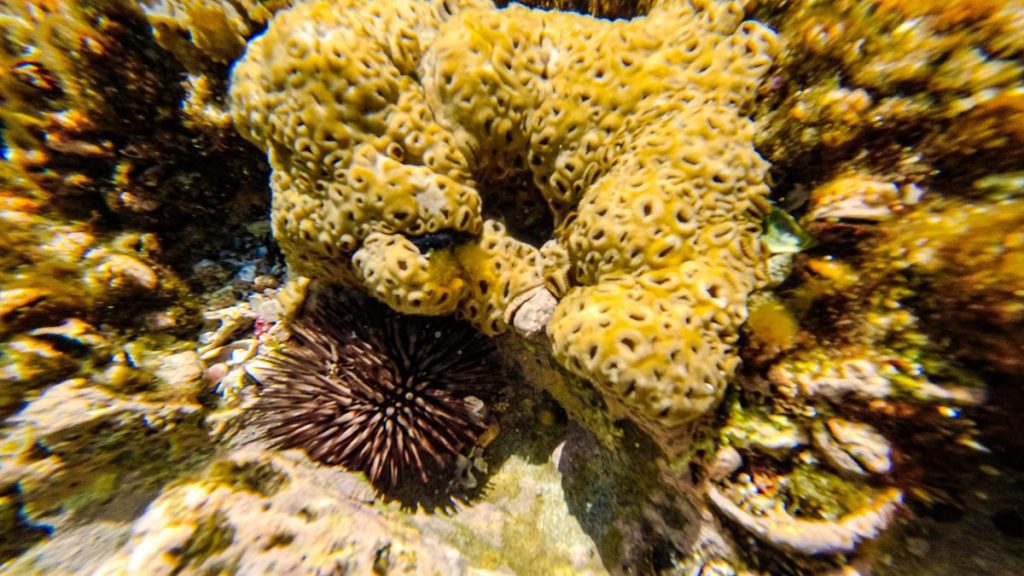
We spent a few hours at Surf Point, walking along on the beach and going for short dips. You can find some corals, giant clams and tropical fishes in the rocky pools on the exposed side of Surf Point.
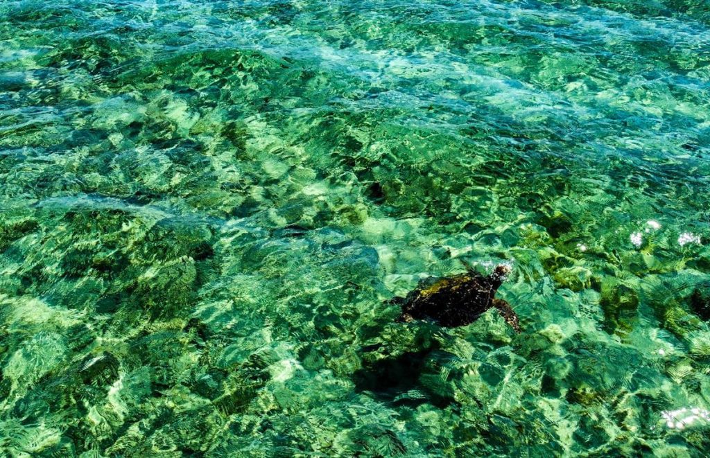
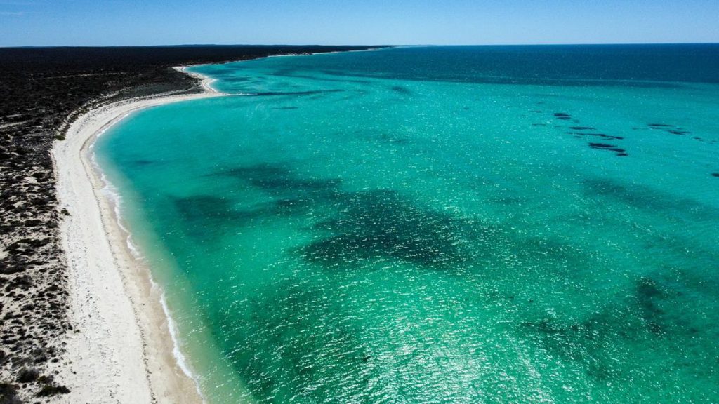
Drone helped us to see a turtle too and many more sharks 😊.
Sand dunes
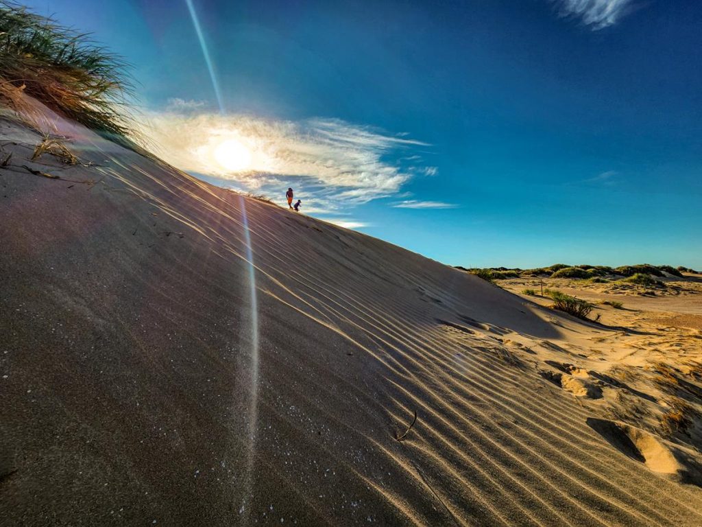
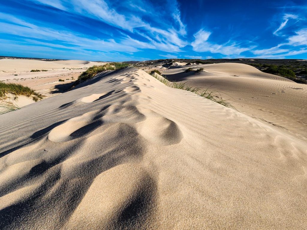
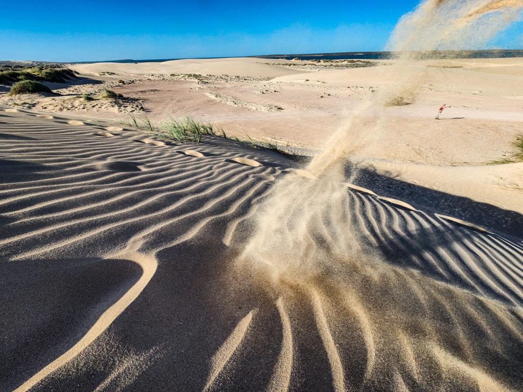
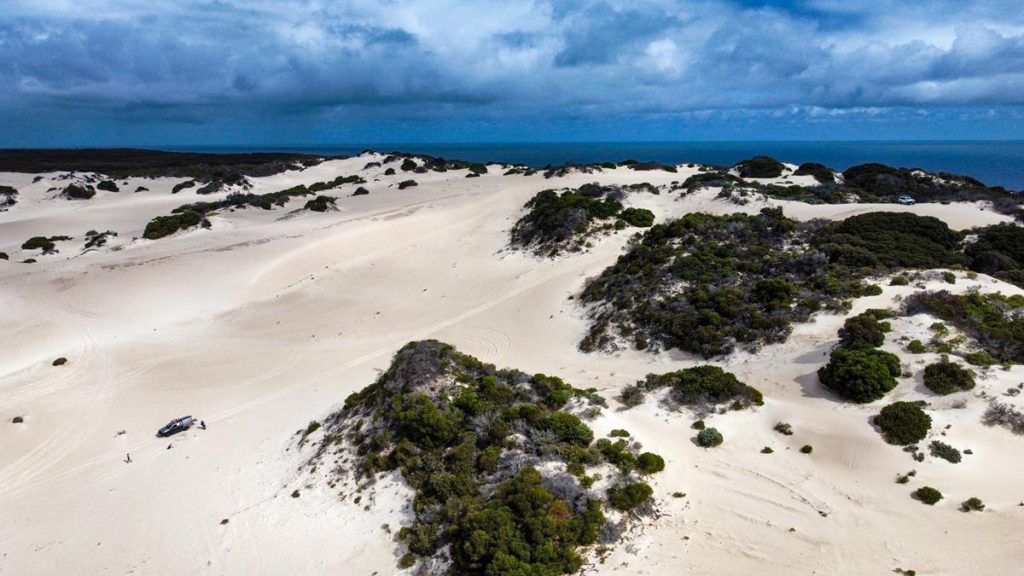
There are a few sand dunes on Dirk Hartog Island that you will need to cross if you travel north, past Homestead. They are actually fun to drive. We stopped for a closer look to appreciate the beauty of the landscape, shaped by nature. Kids had lots of fun going up and down the slopes. If you want to take nice pictures, going there in the afternoon, when the sun is a bit lower, is probably best.
Sandy Point
During our last trip we managed to venture only as far north as Sandy Point (having not realized how slow the driving on the island is ☹ but all the more the reason to visit the island again). Sandy Point is roughly in the middle of the island on the eastern side. It is a nice sandy beach, with a sanctuary zone on one side and fishing area somewhere further away. You can camp at Sandy Point or just come for a day visit.
Wildlife on Dirk Hartog Island
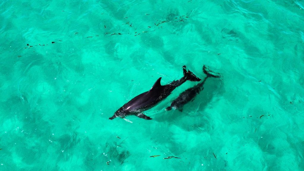
There is plenty of marine life to see in the water and on the shore. Apart from dolphins, sharks, seasnakes, sea turtles pictured above, sea stars were also in abundance.
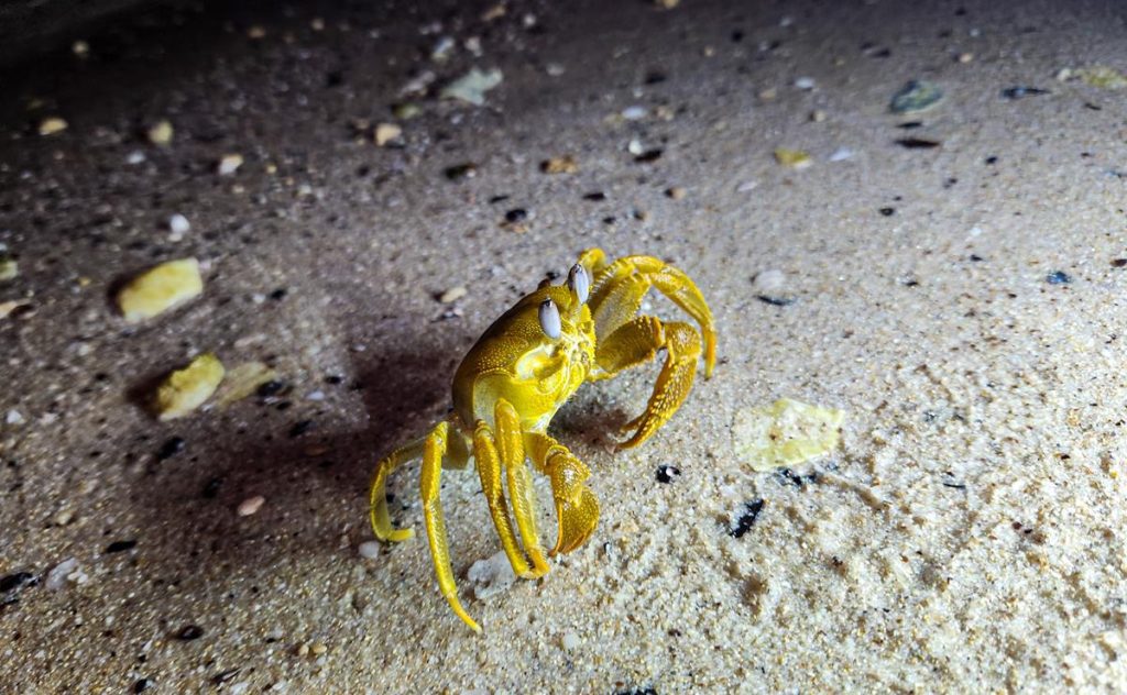
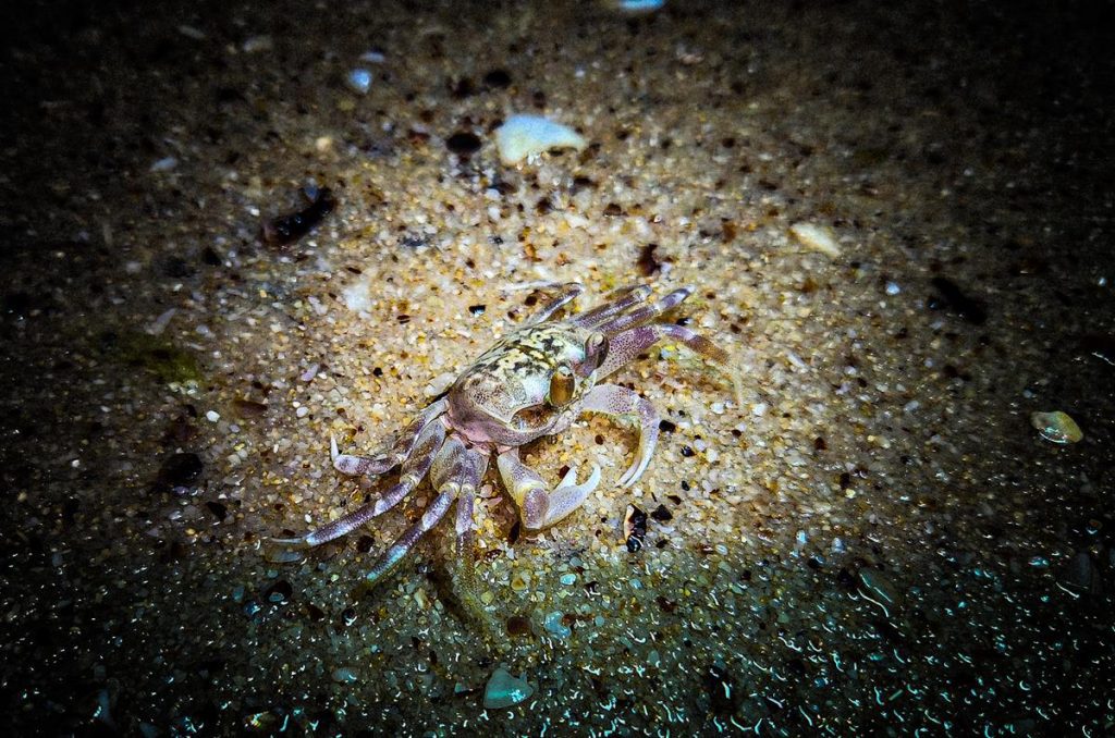
There are many crabs too, which you can see at night and daytime alike.
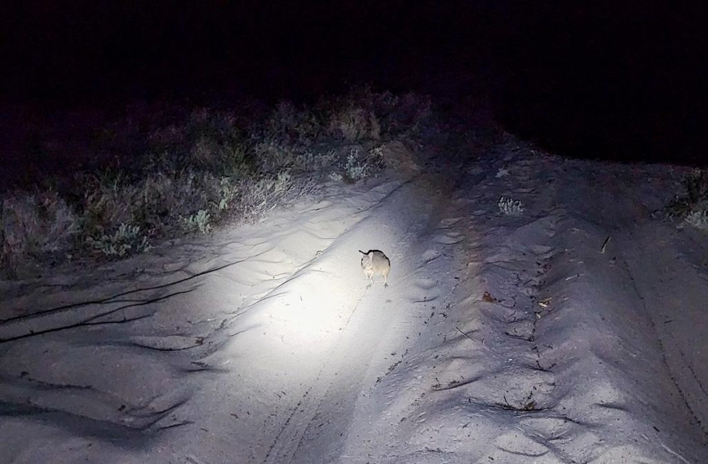
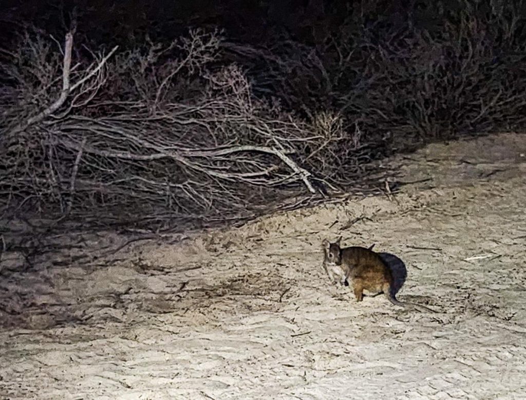
While it is easy to spot marine life, animals on land are much harder to find. We were lucky to spot Banded hare-wallaby and Rufous hare-wallaby.
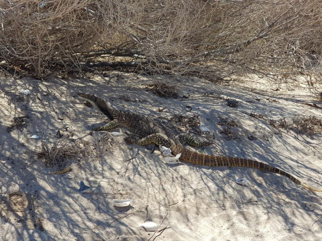
But this guy didn’t need looking for. This Monitor Lizard literally occupied our camping spot at the Homestead :).
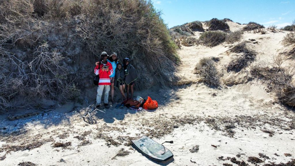
And here is us, satisfied with the trip (although annoyed with the flies) and eager to return back to explore the rest of the island.
Please note before continuing reading, that we respect the for and against points of views. So, chill out and enjoy the reading. 🙂
This is one controversial subject, that attracts a lot of discussion, in our experience. Quite often when we post videos of us driving on corrugated tracks, we get lots of comments from people telling us to just drive fast as it is more comfortable. So, we decided to write this post to address the subject and explain why we don’t drive fast.
Two schools of thought
There are two schools of thoughts regarding driving on corrugated roads. The more popular (in our experience) view is that you should drive fast and it is actually good, as you glide over the bumps and this reduces vibration. In this case, you presumably do not feel the bumps and the drive is relatively smooth. Not only that, you save significant amount of time by arriving to your destination sooner. As we are not supporters of this point of view, we can’t share our experience of driving fast. We did try but it didn’t go very well.
The second school of thought considers the risks of fast driving on corrugated road and whether they outweigh the benefits. In our opinion, there are multiple risks. First, the risk of damaging your vehicle is much higher when you drive fast over those bumps and holes. Second, the chances of a collision with another vehicle (assuming it is a single winding track, or the one going up and down hills) are much higher. When you travel at higher speed, it takes longer for the vehicle to stop. And if the track abruptly stops or breaks, there is a risk of flipping the vehicle when one losses control. If this happens in the outback with no services, including ambo services or flying doctors not immediately available, we all know the consequences in the extreme case. Vehicle breakdown with no help or services to fix could potentially cost $$$. This is the best scenario.
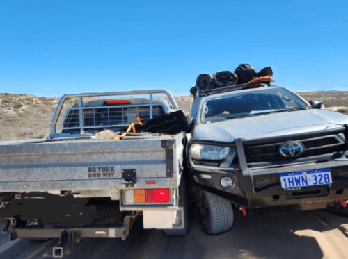
Head on collision with another vehicle due to them driving too fast! On Useless Loop Road, Edel Land NP.
What determines your driving on corrugated road
We are not advocating one or the other point of view. Everyone drives according to their own skills level, experience, personal choice and preference, as well as personality and temperament. Some people like high speed and lots of action in their life and this is directly translated into their driving style. While others are more cautious, slow and choose prevention rather than dealing with consequences. We are all different and make different choices in life.
Circumstances will also determine your driving style. For someone who goes off-road with one spare tyre and minimal vehicle repairing experience, it might make a good sense to drive slowly to avoid damages to the vehicle. Consider, on the other hand, someone who is fully equipped with a few spare tyres, all the necessary tools and equipment, plenty of mechanical knowledge and experience and is travelling in a convoy. These are different circumstances and drivers would often weigh the risks according to the backup plan they have.
Other considerations
Ultimately, the speed which you choose for tackling corrugated tracks is not the only consideration. Having the correct tyre pressure, as well as the correct type of tyres for a particular terrain is important. There is no right or wrong when it comes to the correct tyre pressure, as it depends on so many variables, like the condition of the track, the weather, time of the day. Eg. the sandy track under the heat is so much softer. The same track is much harder when the sun goes down on that same hot day. The type of vehicle you drive, its capability, suspension might also make a difference. Engaging in correct 4WD gear is yet another consideration.
There are other things that is good to take into consideration when driving on corrugated tracks, other than worrying about the speed. Stopping every now and again (at least once every hour) is a good practice to check the vehicle conditions. Let others overtake. We love stopping often, as it gives the rest of us (passengers) a chance to stretch the legs, for the kids to run around a bit, and for the photographers to appreciate the beauty of the outback. Most importantly, we love to enjoy a cuppa with a favourite bikkie and admire the rig as part of the family. Or admire the rigs that overtake us. :). We love to observe life and fully experience what is happening for us, rather than rushing through the experience.
Safety should come first
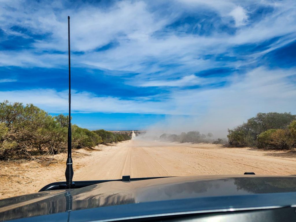
Not last to mention the unwritten law that it is a common road courtesy to slow down when approaching or overtaking a vehicle on corrugated tracks. You wouldn’t want this until it happens to you. Unfortunately, not everyone is aware of that. We were very often enveloped in a cloud of dust by oncoming traffic to the point that we could not see anything at all for a few seconds. Does that sound like this type of driving poses a danger to you? It does, to us. The worse is the rocks and projectile/stones from the oncoming traffic hitting the windscreen. Worst, it hits someone via smashing windscreen. So, if you choose to travel fast on corrugated roads, please be, at least, considerate of other drivers.
We travel by ourselves and rely only on ourselves and what we carry with us, including our own experience and knowledge. For us, safety is more important than comfort or quantity of kms covered.
Here is a good article that we find quite educational. It also explains in details how corrugation is formed.
While we do have substantial experience in 4Wdriving by now, we are by no means, the experts and are simply sharing our experience. There are some things that we might not be aware of – like everyone else, we are constantly learning. If there is something that you think would benefit others (and us), please do share your knowledge and experience by commenting below.
Edel Land is a proposed National Park in the Shark Bay region of Western Australia. It is the place where the most westerly point of Australian mainland is located – Steep Point. Useless Loop Road traverses the national park, leading to a number of attractions, which include the salt mine at the entrance, the blowholes on the coast, lookouts and historical sites. The park is also home to impressive 200 meter high Zuytdorp Cliffs. It is a very remote area with no amenities, but quite well visited by 4WD enthusiasts as the corrugation of the track indicates. Camping is allowed at a few places within Edel Land national park. Even though, it is considered “proposed” national park, normal park entry fees apply.
Useless Loop Road
Useless Loop Road is a dirt road (after initial 30 or so km sealed) with an unusual and interesting name! The name Useless Loop was bestowed by a French explorer Louis de Freycinet who couldn’t get to an inviting harbour, believing it was blocked by a sandbar.
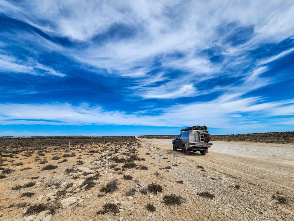
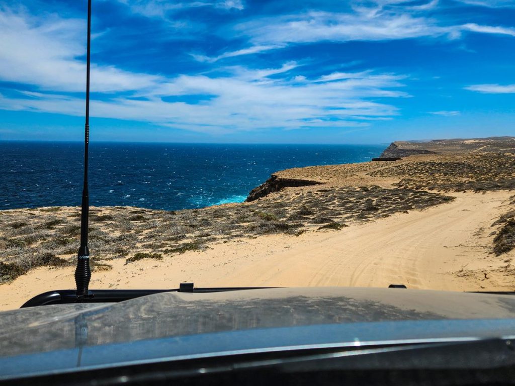
Originally a mining road leading to a company town with the same name servicing a salt mine, it is nowadays mostly known as the road to access the most westerly point of Australian mainland. It is quite wide but corrugated track. Stopping every now and again allowed us to appreciate the beauty of this seemingly unattractive track.
Driving further on Useless Loop Road, through Edel Land National Park, we had to stop a few times to access the track conditions. The track goes up and down almost continuously (which at some point caused us a collision with another vehicle that was driving too fast).
And once we nearly drove over the massive drop but luckily stopped just in time. This was at Dicko’s Lookout, which was quite nice.
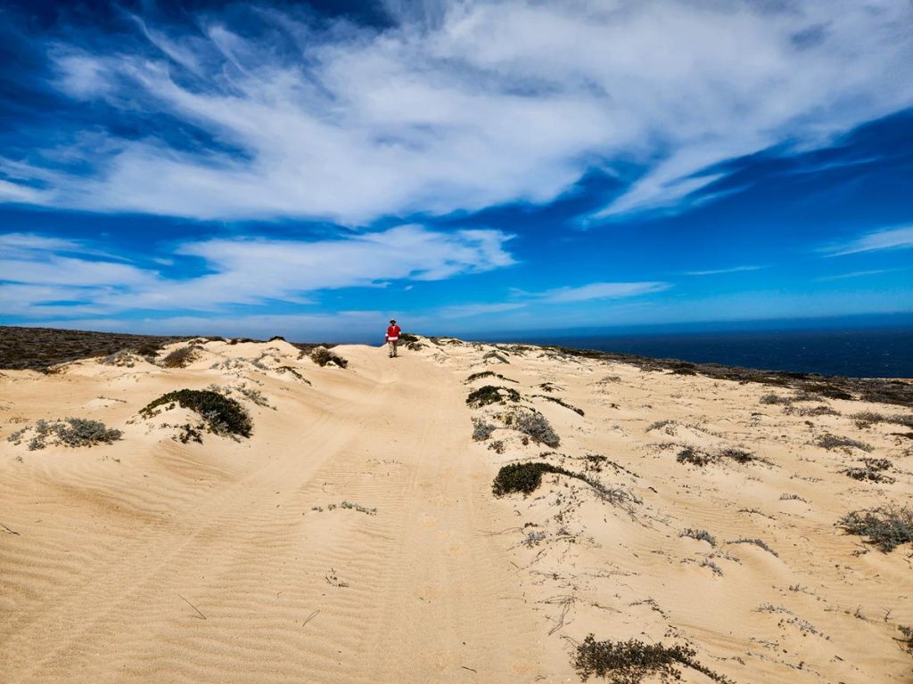
The last 30km before Steep Point is the most challenging track, as it involves climbing sand dunes up and down. Check our reels about the track if you would like to see how it looks like.
Edel Land National Park attractions
Salt mine
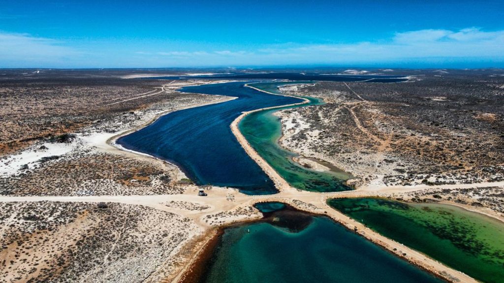
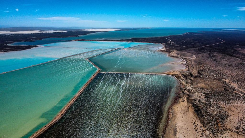
Useless Loop Salt mine is the first attraction in Edel Land National Park and is right at the entrance.
The salt mine looks absolutely amazing from the ground with its surreal colour of the water. It looks even better from above.
Zuytdorp Cliffs
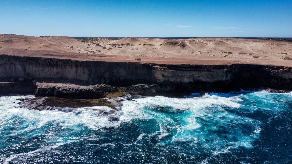
Zuytdorp Cliffs are very spectacular rock formations, rising up to 200 meters and stretching for nearly 200km along the western coast of Australia, between Kalbarri and Steep Point. Their sheer height, as well as almost continuous length is very impressive. The cliffs were named after the Dutch ship, the Zuytdorp, that was wrecked against the base of the cliffs in 18th century.
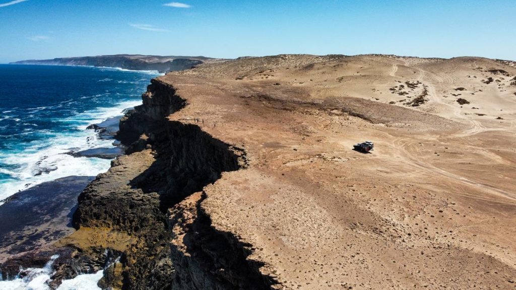
It is possible to drive along the coastal cliffs. Sometimes (on the western side from False Entrance going north) the track is uncomfortably too close to the 200-meter cliff drop and it makes you feel like you are driving into the ocean 😊.
Blowholes
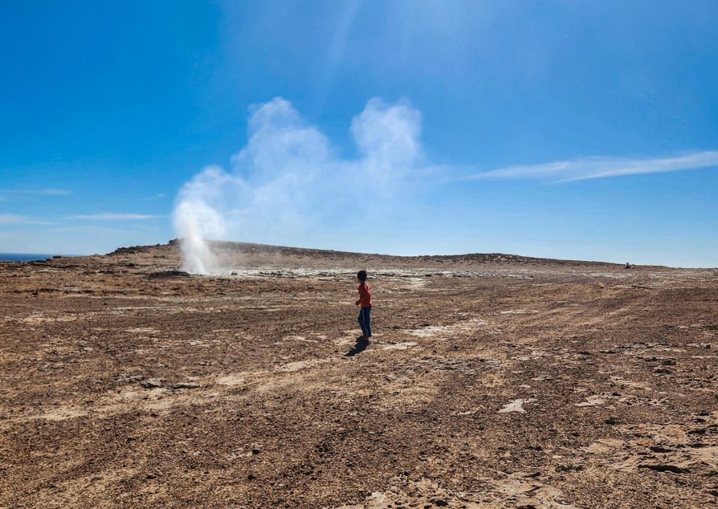
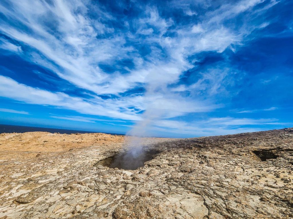
You can find blowholes in two locations in Edel Land National Park – at False Entrance and in Thunder Bay. Blowholes occur when there are holes in the coastal cliffs. When massive waves hit the coast, the force pushes air and sea mist out through those holes. When the force is strong enough, water comes out too a few meters high and sometimes pieces of debris, like stones, seaweed, etc.
Blowholes at False Entrance
If the sight of the water and air surging out from the ground was impressive, the sound was deafening and scary for kids. Check our short video of blowholes on Tiktok here.
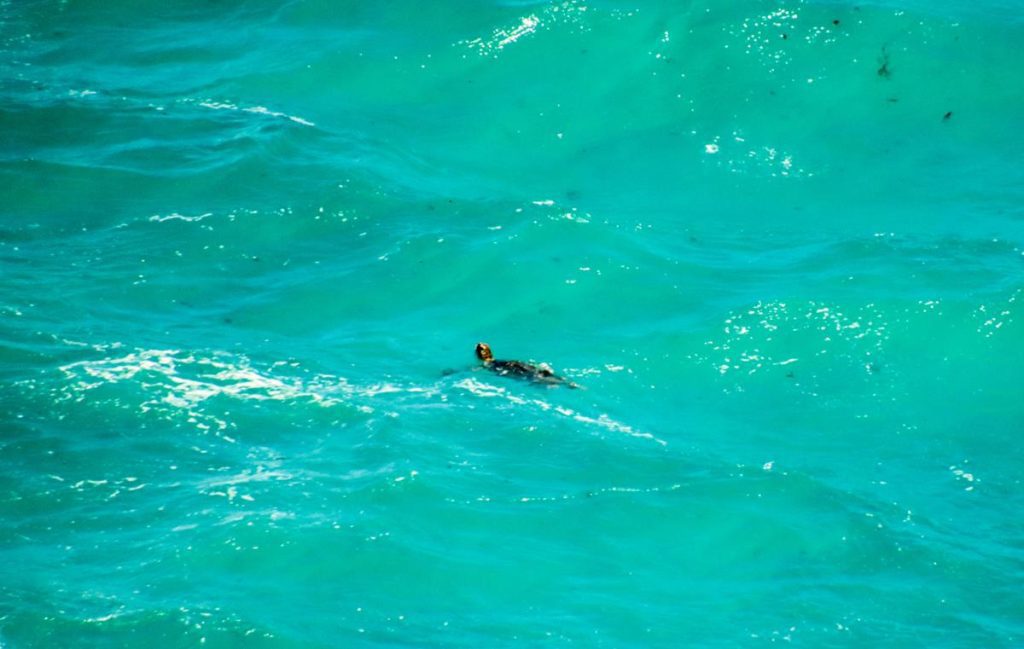
The sighting of a sea turtle was a bonus 😊.
Blowholes at Thunder Bay were equally impressive.
Camping at Edel Land Natinal Park
Camping at Edel Land National Park is available at 3 locations – False Entrance, Shelter Bay and Steep Point. The sites need to be booked online via ParkstayWA.
False Entrance
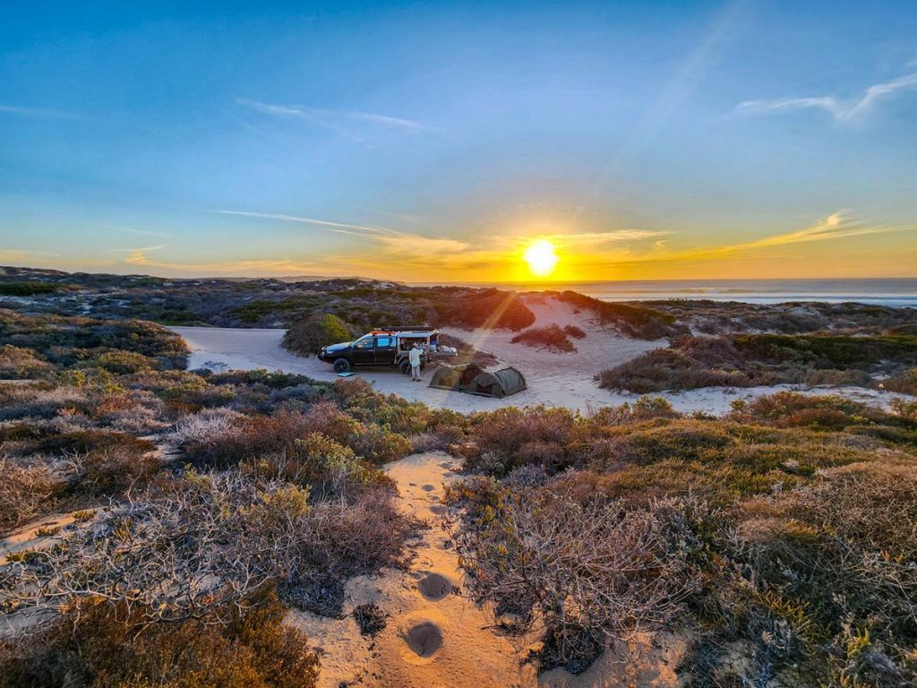
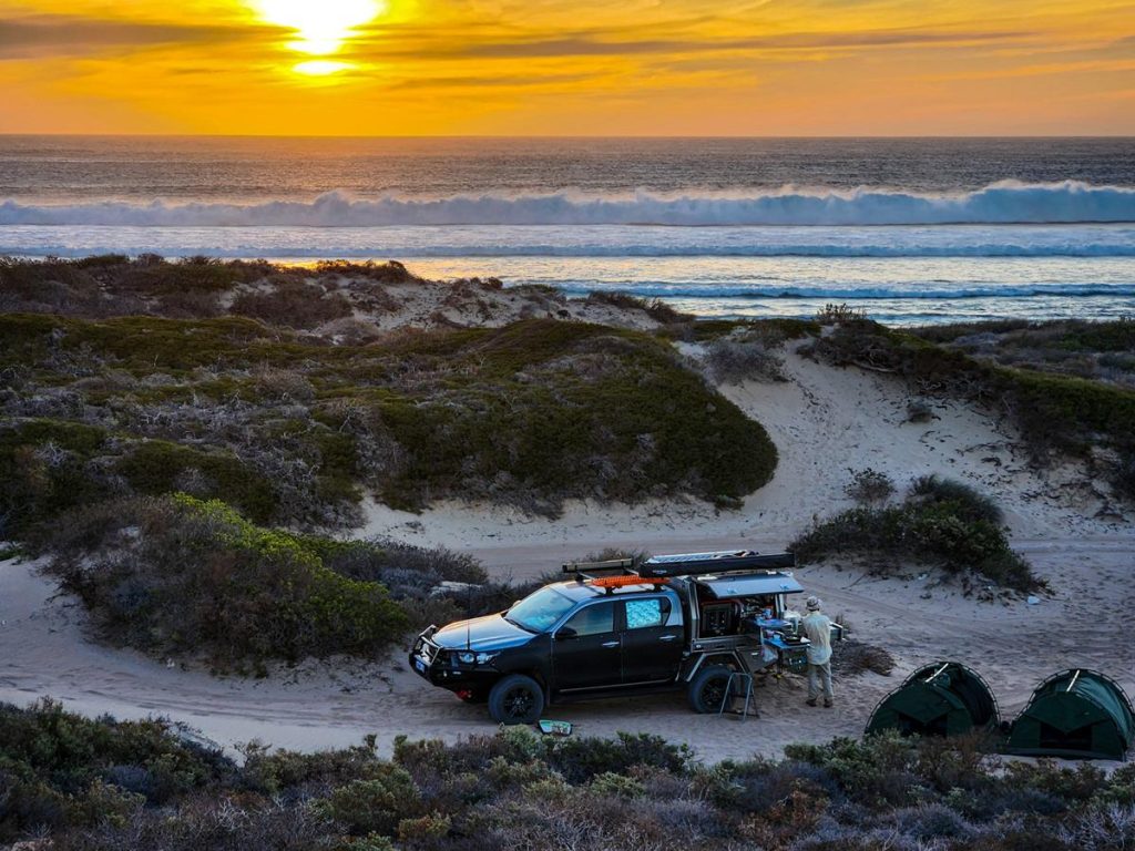
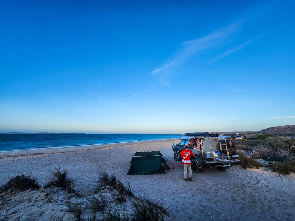
False Entrance camp is in the south of Edel Land National Park. It is 50km from Steep Point, the most westerly point of Australian mainland. The place got its name after many early seafarers mistook it for the South Passage, the entrance to Shark Bay, between Dirk Hartog Island and Steep Point. There is a camping area with just 5 spots scattered around at False Entrance. We were on site 1, which was quite far away from all other sites. There are no facilities and you would need to bury human waste and take all other rubbish with you. False Entrance is very beautiful but quite rough and windy. The camp is on the beach, tucked behind the dunes.
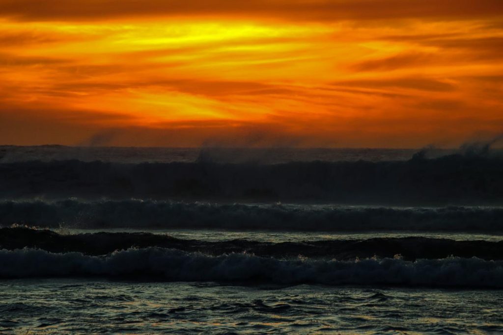
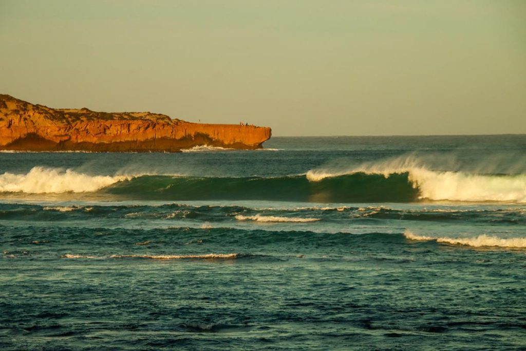
The beach is very beautiful but with huge waves we couldn’t swim there. Instead, we enjoyed stunning sunsets and sunrises and short walks around, including climbing up and down the dunes.
Steep Point
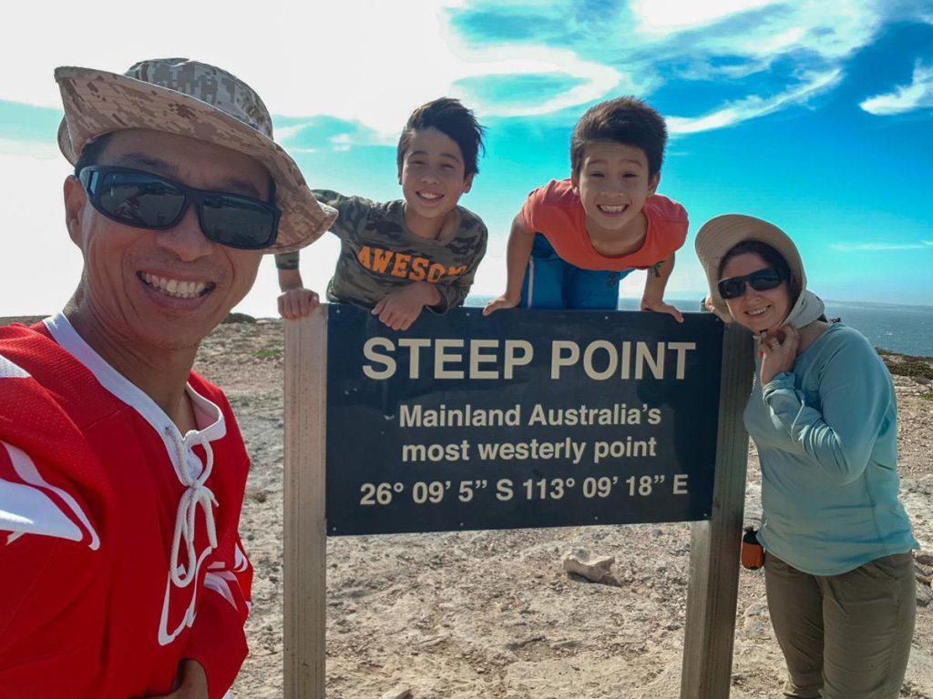
Steep Point is the most westerly point of Australian mainland and an iconic place. Unfortunately, it was very windy for a drone to fly to take pictures from above when we visited this place. The position of the sun wasn’t helping either in taking a decent selfie. We were there in the afternoon, which is not the best time for photos with that iconic sign, so plan for a morning visit.
Steep Point campground facilities are very basic but there are drop toilets there.
Shelter Bay
A lot of people who go to Dirk Hartog Island, choose to camp at Shelter Bay in Edel Land NP the night before they take the barge, especially if they book the transfer for an early hour. Shelter Bay was beautiful, although, contrary to its name, it was windy. We were at DHI barge site and could see vehicles lining up to catch a barge, even before the sunrise, with the first transfer at 6.30am. Sites at Shelter Bay need to be booked online beforehand. Facilities include a few drop toilets scattered around. It is quite a large campground with plenty of space and right on the beach.
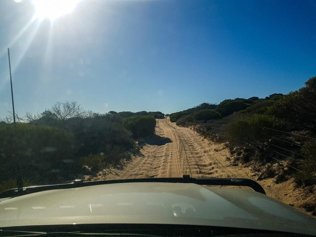
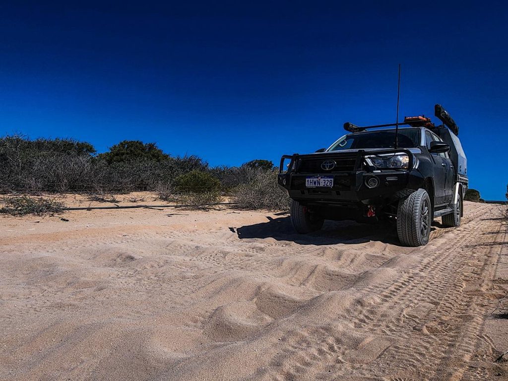
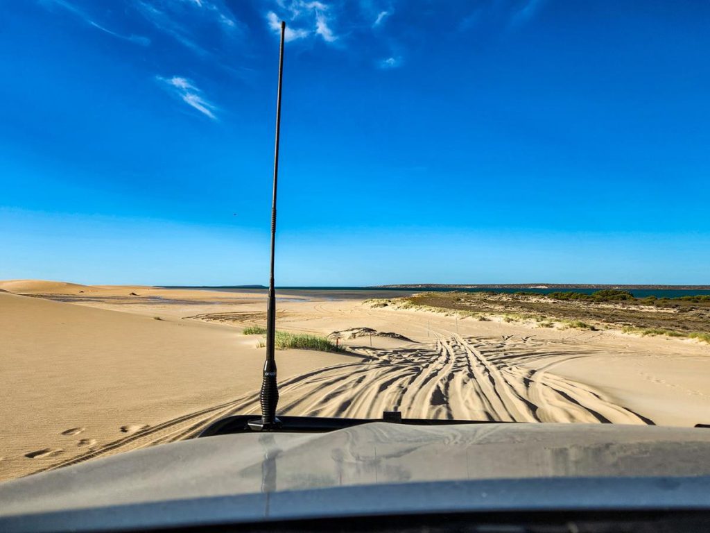
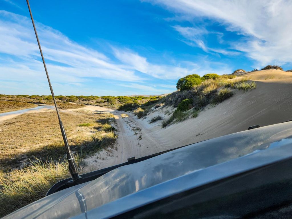
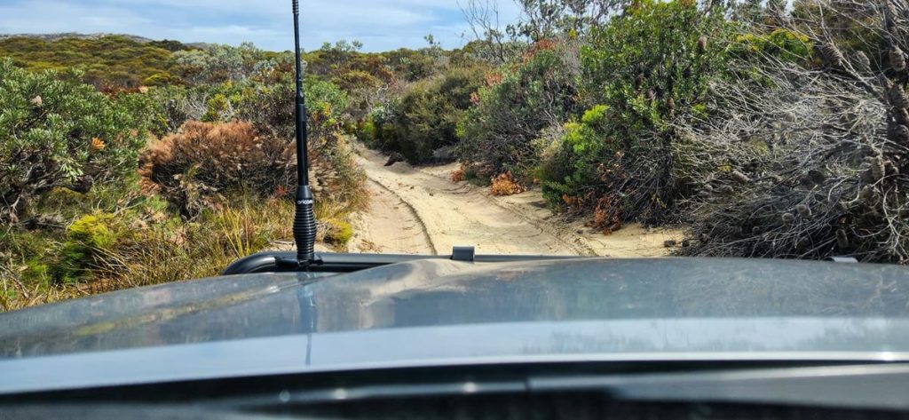
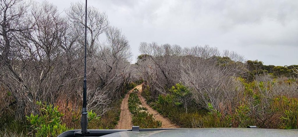
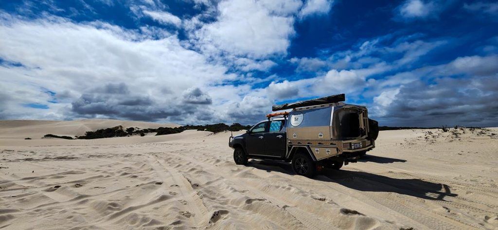
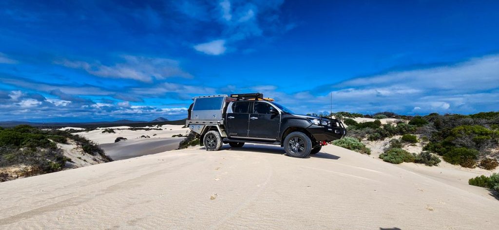
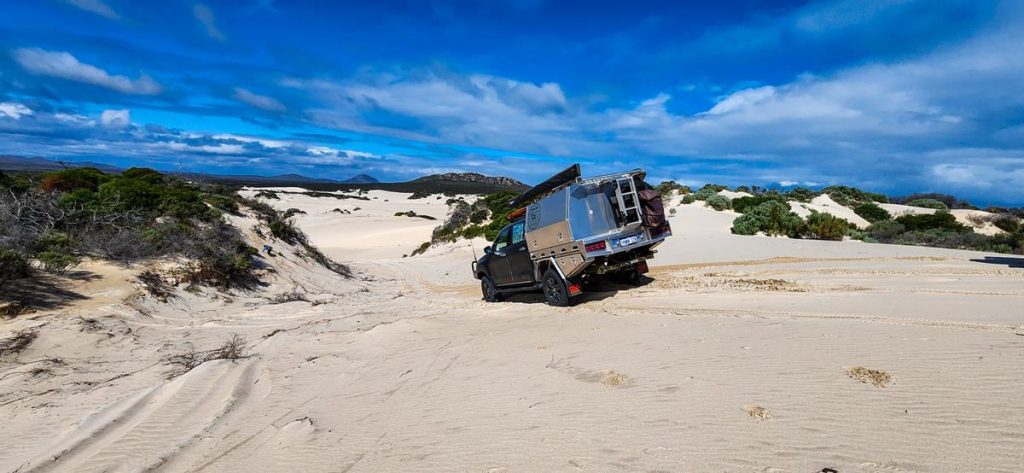
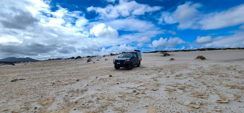
2,5km from Hamersley Inlet campground where we stayed in January, there is a track from Hamersley Drive leading over the dunes and to Hamersley beach. The track is approximately 4,6km long. It’s a fun drive, which is a mix of hard track through the bush, soft sand and some rocks. The track starts as an easy but scratchy drive through the bush until you arrive at the dunes.
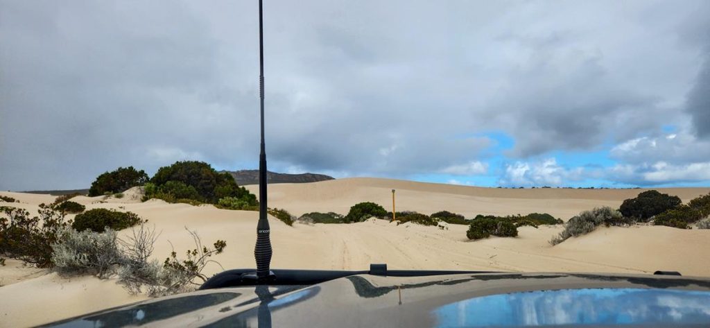
There are long poles indicating the way as you drive over the dunes.
Having said that, it is still easy to get lost. We did lose the track for a while and nearly fell into the dip. Luckily, we stopped on top of a hill. It is always better to be cautious, especially if you travel in a single vehicle, like us.
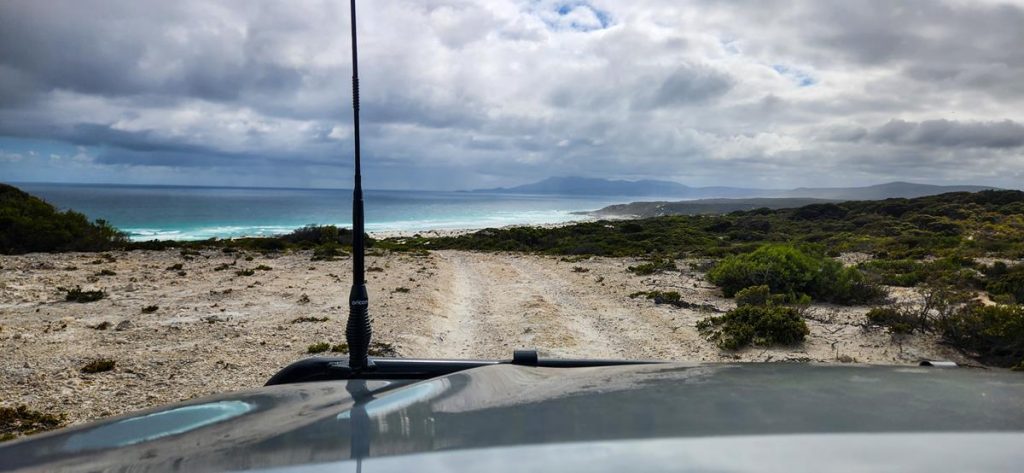
Once you pass the dunes and are nearing the beach, the track gets rocky.
The beach looked “moody” due to stormy weather, so we didn’t stay long. But we thoroughly enjoyed the ride :).
Hamersley Inlet campground
To explore Hamersley dunes and nearby Hamersley Inlet, we stayed at Hamersley Inlet campground. It is one of only a few campgrounds in the Fitzgerald River NP, (others are 4 Mile beach camp and St Mary Inlet campground). Hamersley Inlet campground is 19km west of Hopetoun. It is reasonably priced, at $19 per site per night. You get excellent facilities, which include new and spacious toilets, bbqs with shelter and non-drinking water. There are 14 sites of various sizes, with sites 1-3 suitable for large caravans. The rules of the national park specify no dogs and no campfires. You would need to take all rubbish with you. The sites must be booked online prior to arrival, as there is no internet there.
Hamersley Inlet and walking trail
From the campground, there is a short (300 meter) walk to the Hamersley Inlet, where there are picnic facilities.
From the inlet carpark you can take 1,7km walk to the beach. If you are at the inlet at the right season, you might find these beautiful orange coloured Eucalyptus Utilis (Coastal Moort) trees.
Like this:
LikeLoading…
Manage Cookie Consent
To provide the best experiences, we use technologies like cookies to store and/or access device information. Consenting to these technologies will allow us to process data such as browsing behavior or unique IDs on this site. Not consenting or withdrawing consent, may adversely affect certain features and functions.
Functional Always active
The technical storage or access is strictly necessary for the legitimate purpose of enabling the use of a specific service explicitly requested by the subscriber or user, or for the sole purpose of carrying out the transmission of a communication over an electronic communications network.
Preferences
The technical storage or access is necessary for the legitimate purpose of storing preferences that are not requested by the subscriber or user.
Statistics
The technical storage or access that is used exclusively for statistical purposes.The technical storage or access that is used exclusively for anonymous statistical purposes. Without a subpoena, voluntary compliance on the part of your Internet Service Provider, or additional records from a third party, information stored or retrieved for this purpose alone cannot usually be used to identify you.
Marketing
The technical storage or access is required to create user profiles to send advertising, or to track the user on a website or across several websites for similar marketing purposes.