El Questro

Zebedee Springs in El Questro

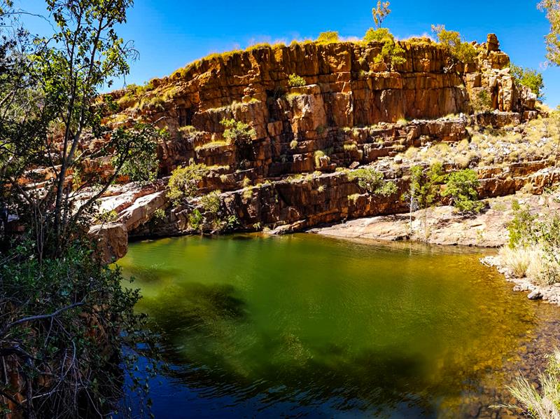
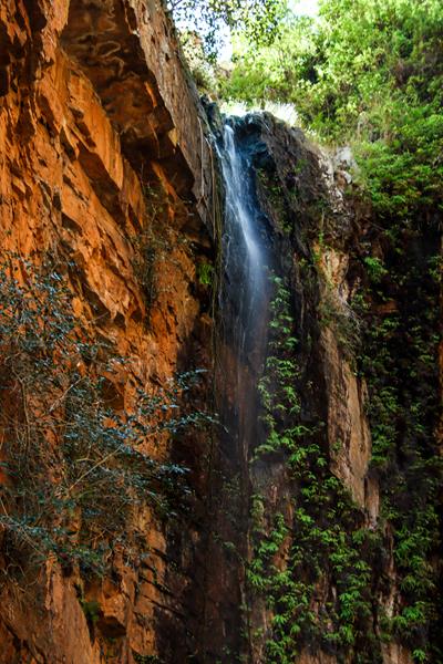
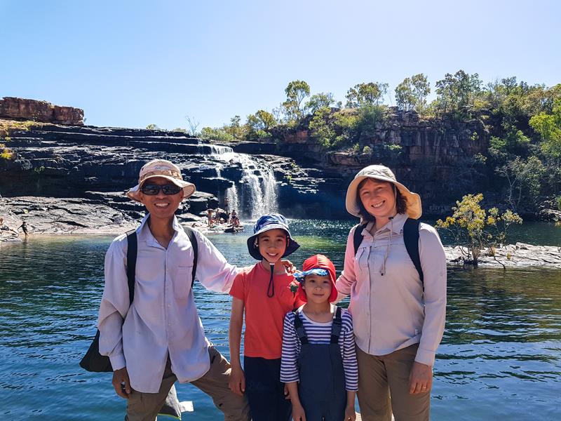
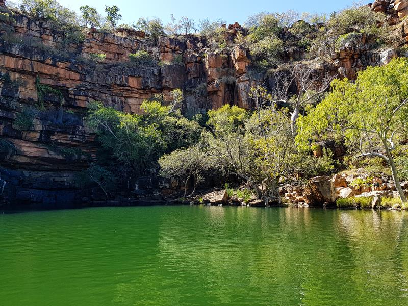
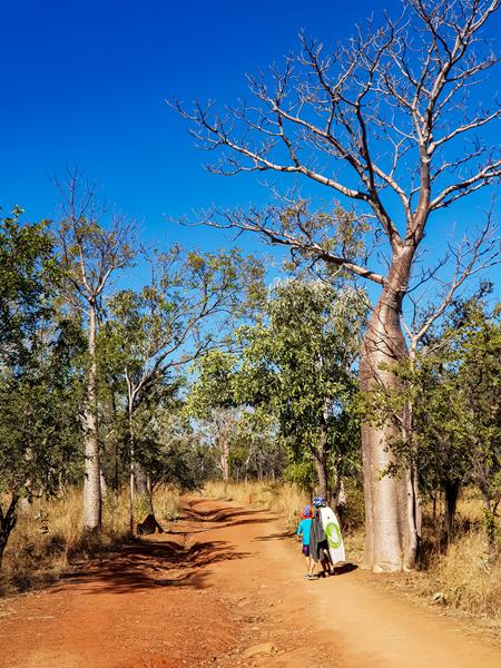
Located about 100km from Kununurra in East Kimberley, EL Questro is a popular destination for anyone travelling on the Gibb River Road, as well as for many more tourists entering from the east of Western Australia. This 700,000 acre private property is home to some amazing gorges, thermal springs, adventurous drives, hiking trails and dramatic lookouts. We spent 3 nights there which was not enough to see everything this amazing place has to offer. Below are the places we have visited (and we’ll be back in the future to see and experience the rest!).

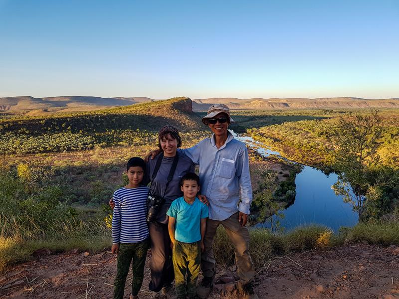
Us at Branko’s Lookout

Branko’s Lookout

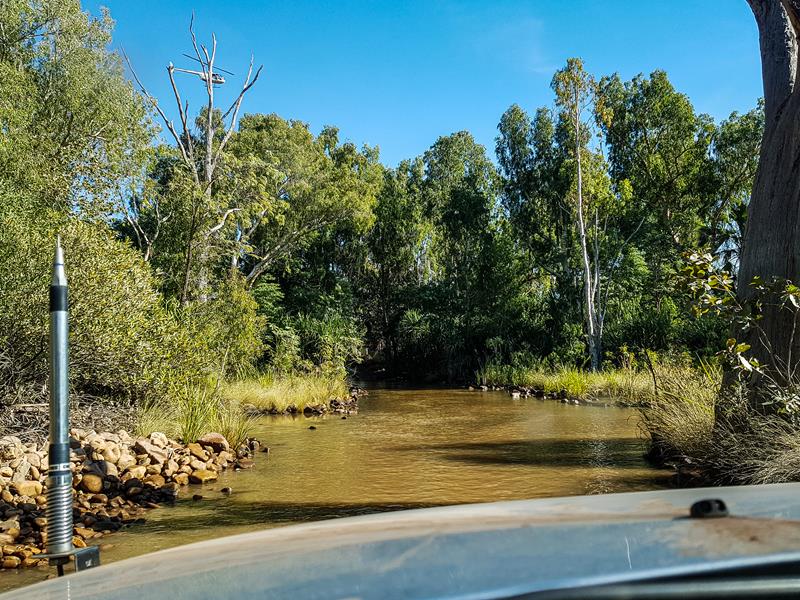
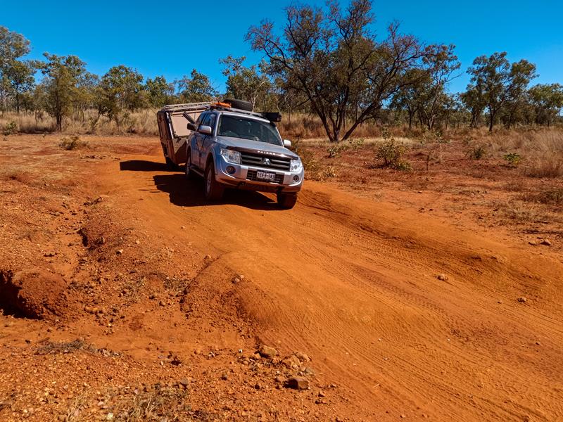
Branko’s Lookout is 10km from El Questro Station. Somewhat moderate to difficult 4WD only track crosses Chamberlain River, which is wide and very rocky. It takes a few minutes just to cross the river itself. Going slow, with the right tyre pressure and gear selection, it is a challenging but actually very fun drive.

The scenery on both sides, as you go through the crossing, is quite beautiful. Branko’s Lookout is the highest lookout on El Questro property. The climb to the summit is steep and the track is narrow (there are pockets to go to, if there is an oncoming traffic).

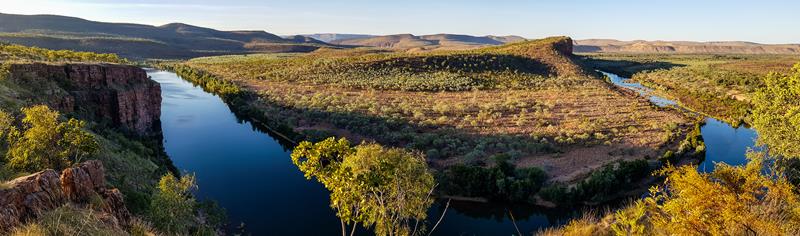
If the drive to the Lookout is fun, the view from the Lookout is spectacular beyond words. Visiting this place just before sunset is the best. Then you can see sun casting its rays onto the Cockburn Range with the S-curve of the Pentecost River below.

Branko’s Lookout

The river, and Branko’s Lookout in particular, is a popular place to spot salt water crocodiles. Sure enough, we did see a few of them there.

Pigeon Hole Lookout

Pigeon Hole Lookout is 5,5km drive from El Questro station and is less challenging than Branko’s Lookout. There is a small river crossing on the way to the lookout. After that, it is quite an easy drive all the way up, with the steep ascent at the very end of the track.

A small crossing on the way to Pigeon Hole Lookout

The time when the sun goes down is quite magical.

Pigeon Hole Lookout

This is when the sun, just behind the horizon line, casts an array of colours onto the sky, which get reflected on the surface. The colours change rapidly from blue, to orange, to red, pink, making it one of the best times to take scenic photos.  

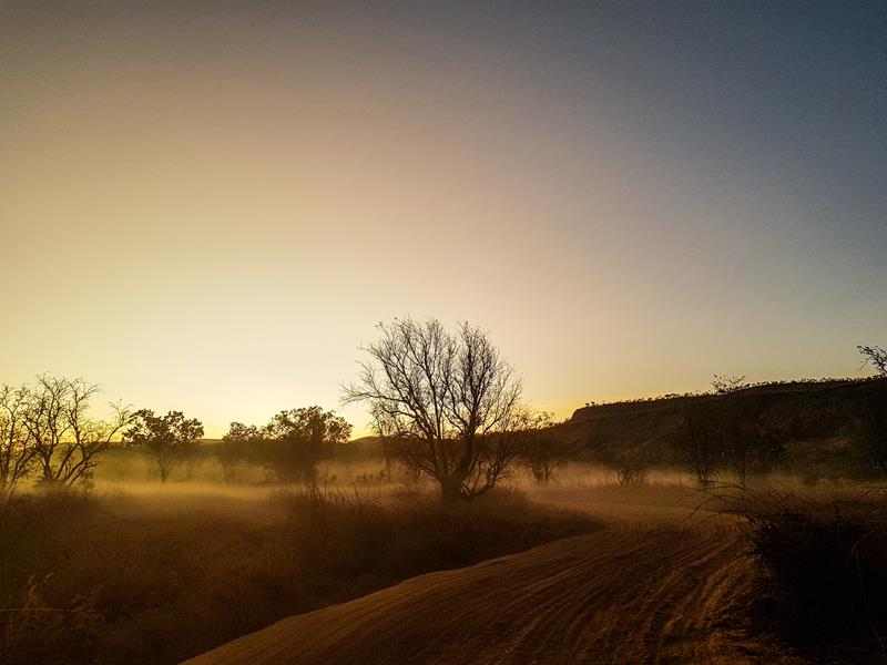
When there are a lot of vehicles driving through the place on a dirt road, the dust stays up in the air for a while. In the dusk it creates a spooky feeling of being in a fairy tale.

Pigeon Hole Lookout drive

Amalia Gorge

Amalia Gorge is a 3,4km return, hiking trail in El Questro. It is one of the less popular gorges, probably, due to the fact that the water is not flowing in dry season.

Amalia Gorge

We found the track challenging due to a couple of rock-climbing places (“squeeze and climb”). One of them has now a chain installed to help you balance. While the other is still pretty much an exercise in aerobics where you have to coordinate where you put your feet and hands. It could be tricky for elderly people or if you are carrying a backpack which tends to pull you backwards 😊. We remembered that trail as a challenge to overcome. 

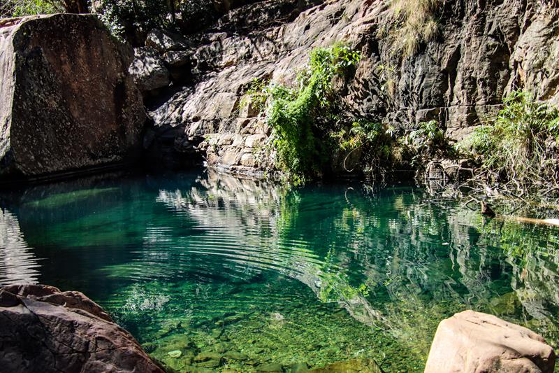
Still we had a very enjoyable experience. The half way pool was pretty and the whole trail was quite picturesque.

Zebedee Springs

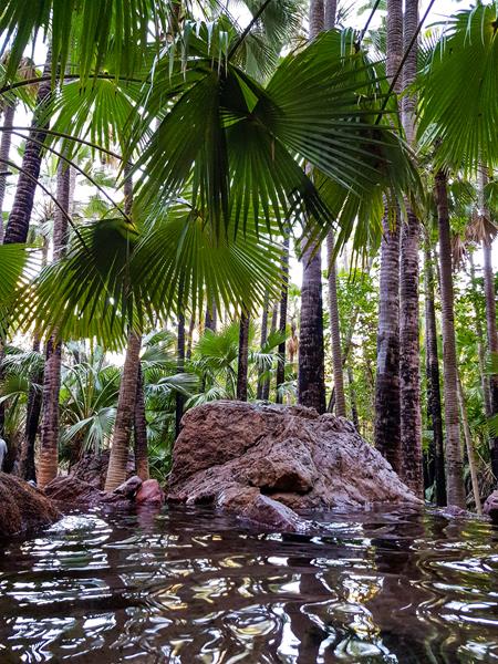
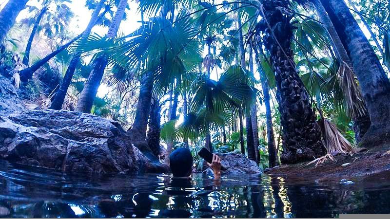
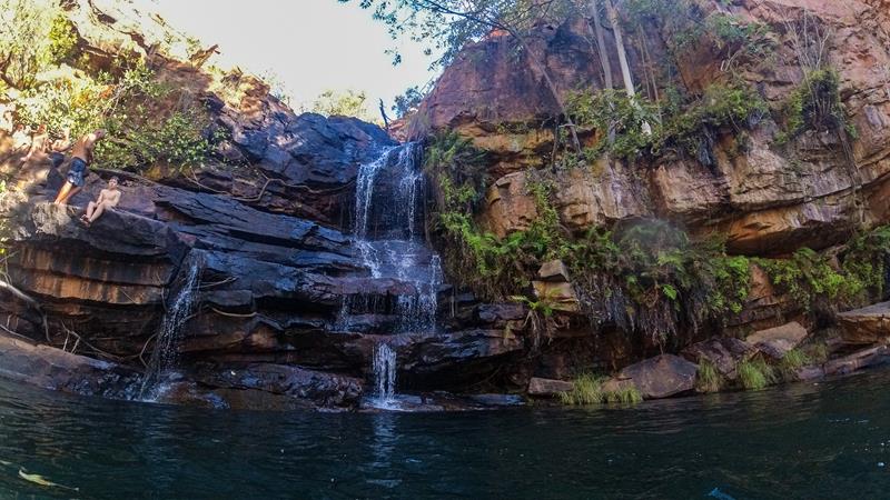
Zebedee Springs is a true oasis on the Gibb River Road. Located within El Questro, it is the easiest and shortest hiking trail on their property (only 600m return) to a series of rocky thermal pools. The thermal spring comes from a permanent supply of water deep within the earth. The water temperature is -28-32 degrees C all year round, which makes it a very pleasant and relaxing place to be, whether the weather is hot or cold. What is interesting about the trail itself is that during such a short distance, the vegetation changes from Savannah Woodland forest to Livistona Palms forest.

Zebedee Springs is only open to public from 7am to 12pm. We expected this to a super busy place during the school holidays in July. However, there are a number of rock pools and there might be one empty just for you (or for us, in our experience), especially if you climb higher.

Zebedee Springs

Emma Gorge

Emma Gorge is the most spectacular of all gorges we visited. As it is on the Gibb River Road itself, there is a separate post about it, which you can read here.

Emma Gorge

Emma Gorge

Spectacular Emma Gorge

Emma Gorge is one of the most spectacular gorges (and personally, my favourite) on the Gibb River Road. It is a definite “must to see” attraction. It is easily accessible, only 2km off the Gibb River Road, close to Kununurra. Located on El Questro property, permit is required to visit Emma Gorge (like any other attractions within El Questro). The walk to the gorge is classified Grade 4, which is moderate, 3,2km return. It has some big and smaller rocks to scramble, occasional steep climbs but generally a very pleasant hike with beautiful scenery.

There are a few small pools with clear emerald water on the way.

One of them is home to a fresh water crocodile that is often seen there.

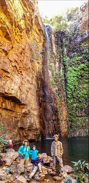
The end of the hiking trail is the most impressive sight to behold with the waterfall dropping from 65-meter-high rock into a big waterhole, enclosed on three sides by red cliffs. This creates the impression and acoustics of being in an amphitheater. The water is cold but there is a thermal spring on the right side of the gorge. Did we swim? Yes, we did – although it was more like a dip followed by sitting at the hot spring, which was too busy for us to take a picture without other people in it.

65-meter water drop at Emma Gorge

Manning Gorge

Manning Gorge is one of the most beautiful gorges along the Gibb River Road in the Kimberley region of Western Australia. Roughly halfway the Gibb River Road, it is 7km from Mt Barnett Roadhouse. You need to purchase a permit to visit the Gorge (at Mt Barnett Roadhouse). It is included in the cost if you stay at Manning Gorge campground.

At the Manning Gorge campground

Getting to Manning Gorge

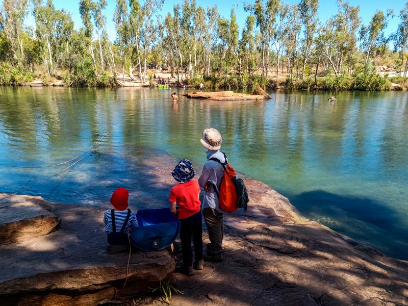
Getting to the gorge is a bit tricky and will require probably half a day for a return trip. The most interesting and fascinating thing about this gorge is that you would first need to cross Manning Creek to get to the other side of the trail.

How shall we get across? 🙂

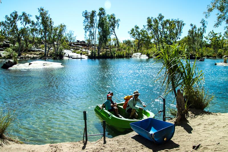
You can either swim 100 meters across (if you don’t mind the cold water and fresh water crocodiles which inhibit the creek 😊). Or you can use the plastic boat, provided by the campground to pull yourself along the ropes to the other side. If you swim, there are plastic drums to put your belongings to get across to the other side.

We decided to use a boat 🙂

The hiking trail is approximately 3km one way. It starts as an easy track but not so clearly marked, so it is easy to get lost. Unlike many other hiking trails that follow the creek, this trail goes overland and has hardly any shade.

It gets more challenging with many steep rocks to climb and steep inclines, which get even harder towards the end. The good thing is that when you get to the swim hole, you are in for a treat with one of the best views on the Gibb River.

Manning Gorge

The waterfall is multi- tiered and the swimming area is very large. It can be tricky to get in, as the edges are slippery and the rocks are quite big.

One thing that we learnt during this hike was to always carry at least some high energy snacks and plenty of drinks. We could have stayed longer at the waterfall, if we had some food with us to feed hungry children. 😊

Hungry but happy family at Manning Gorge

Adcock Gorge and Galvans Gorge

Adcock Gorge and Galvans Gorge are among the most spectacular gorges along the Gibb River Road.

Adcock Gorge

We travelled the Gibb River Road from west to east (from Derby) and Adcock Gorge was only a short detour on our way. It is one of the lesser known and much quieter gorges on the Gibb River Road but still worth a visit, if you have time. Located on Mt House station property (between turn off to Mornington and Mt Barnett Roadhouse), it is 5km off the Gibb River Road, accessible via a 4WD track. We did manage to pull our caravan but we wouldn’t tow a big caravan there because the track is quite rough.

5km track to Adcock Gorge

We parked just before the creek crossing and decided to walk the remaining part of the track (only 200meters or so). It didn’t look like towing a caravan through the creek with lots of rocks was a good idea. Also, the parking space after you cross the creek is quite small. So you might not have enough space to park or turn around if you tow anything past that creek.

The trail goes along and through the creek, where you can admire lilies and spot some fishes.

It is a relatively short and easy trail ending at the green pool. It is suitable for swimming, although fresh water crocodiles are often seen there. We decided to stay dry until we reach the next gorge (Galvans Gorge). It would have been nice to see the water flowing in Adcock Gorge. Being the dry season in July, it wasn’t the case. With the water flowing there, some people claim it to be the prettiest gorge on the Gibb River Road.

Adcock Gorge

Galvans Gorge

Galvans Gorge is the most accessible gorge on the Gibb River Road. Close to Mt Barnett, it is only 1km off the road. This makes it a great rest stop along the Gibb River Road. The hiking trail follows the path of the creek, is easy and quite pretty with a few boab trees along the way.

Walking towards Galvans Gorge

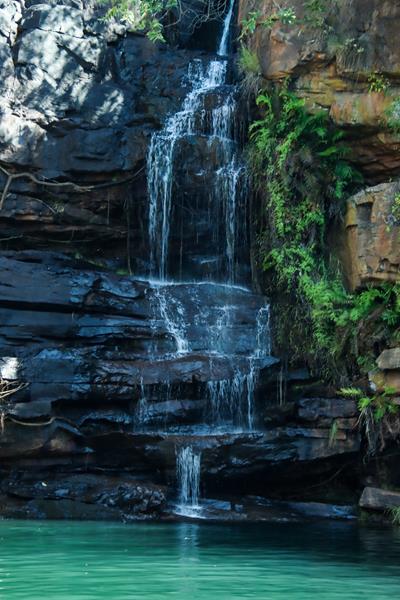
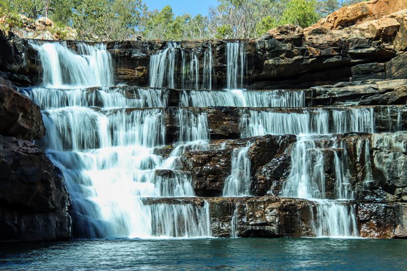
The short trail ends at the swim hole, fed by a small multi layered waterfall.

Galvans Gorge

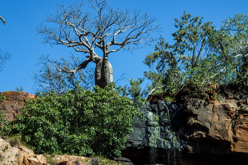
A big boab tree on top of the gorge, next to the waterfall makes it look very unique.

Big baob tree at the top of the waterfall at Galvans gorge

Being so easily accessible, Galvans Gorge is, of course, very popular, so I had to wait for a while before I could take a picture like this :).

Galvans Gorge

Wildflowers along Great Northern Hwy

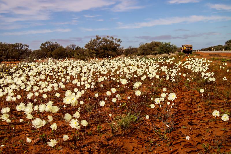
rhodante chlorocphala  splendida wildflowers along Great Northern Hwy

When you travel along the Great Northern Hwy in winter months, you might be able to see quite a variety of wildflowers. So keep an eye on the beauty that grows along the road. The variety of colours and shapes of the wildflowers in season is amazing. These pretty wildflowers (Rhodante chlorocphala splendida or Splendid Everlasting) are growing in Mid West region of WA, along Great Northern Hwy, between Newman and Paynes Find.

Bell Gorge

Bell Gorge

Bell Gorge (Dalmanyi) was the first gorge with waterfalls and swim holes on the Gibb River Road for us. (We travelled west to east and we missed out on Lennard Gorge due to its closure because of fire in July). It is 11 km from Silent Grove, which is a wonderful camping spot by itself. You can easily make the trip to the gorge from Silent Grove in half a day.

The Gorge Trail is 1,5km return easy hike to the top of the gorge. It offers spectacular views of the gorge, the creek and the waterfall cascading down a number of steps.

For a full experience of this magnificent gorge, follow the trail across the creek. Be prepared for your feet to get wet as you go down over the rocks to the bottom of the gorge. There you can swim and enjoy the view of the waterfall up close.

Getting across the creek to Bell Gorge

Like in most of the gorges in Kimberley, the water in the pool was cold but refreshing.

To conclude, it was the first gorge with the waterfall we visited on the Gibb River and we really liked it. We enjoyed the hike, the views and even the swim (despite the cold water).

Bell Gorge (view from the pool down below)

Silent Grove

Silent Grove (Dulundi) is a popular stop on the Gibb River Road, and can be used as a base to explore nearby Bell Gorge. Roughly 19km off the Gibb River Road, it is an easy drive from Windjana Gorge.  We decided to stay there 2 nights so that we could rest, enjoy and explore this place a bit more. It turned out to be one of our favourite camp grounds on the Gibb (it could have been so because we had the time to enjoy it!). It is similar to Windjana Gorge in terms of the facilities (flushing toilets, solar powered showers and tap water from the creek). Yet Silent Grove campground has a different feel with more tropical look. This is due to lush Pandanus trees, which are distinctive to the Kimberley region.

Pandanus tree fruit (above left). Crossing on the way to Silent Grove (above right).

Like Windjana Gorge campground, it is managed by DPAW and can booked online. But being very spacious you can still get a spot even if you don’t book. Silent Grove campground has a lot more shade and privacy than Windjana Gorge.

Although not mentioned in any brochures or sign boards, there are some walks around the campground. You can climb up the rocks edging the campground for a bird eye view of the place or you can take a short walk to the creek which supplies the water to the campground. You can also walk around the campground, which is huge.

We were lucky to spot pythons there and also see beautiful Blue Water Lilies in the creek.

Silent Grove is a bird lovers paradise. Below are just only a few birds that we could take decent pictures of (bird photography being still a new hobby for us :)).

Great Bowerbird (above left). Double-barred Finch (above right).

It is also a place to spot some interesting unique animals, like this Sugar Glider, that was on the Eucalyptus tree next to our camping spot. We were lucky enough to watch it feeding on the nectar of the Eucalyptus tree flowers.

Tunnel Creek

Tunnel Creek

Tunnel Creek (Dimalurru) National Park is 36km south from Windajana Gorge and is a great highlight of the Gibb River Road. It takes about an hour to get there from Windjana Gorge. The time depends on your driving, vehicle and whether you are towing. You can also reach Tunnel Creek from Fitzroy Crossing. A creek flows through a tunnel beneath the limestone of the Napier Range, which is part of an extensive fossilized barrier reef formed 360 million years ago. The Tunnel has a geological significance. It also tells a legend of Jandamarra – Aboriginal freedom fighter who used the place as a hideout in late 19 century.

Tunnel Creek

The Tunnel is 750 meters long, up to 20 meters high and 20 meters wide. It holds permanent pools of fresh water which inhibit fresh water crocodiles and many species of fishes. You can take an easy 400meter return Tunnel View Trail to the entrance. This is an excellent opportunity to observe the patterns, texture and colours of the limestone of the rock face. Most people feel adventurous enough to attempt Subterranean 2km return Trail (at least part of it). Here you would need to be prepared by wearing rock shoes and bathers. The trail requires you to scramble over the rocks and waddle through the water pools to get to the other side of the Tunnel. Not surprisingly, the water is chilly and sometimes deep (nearly up to the hips).
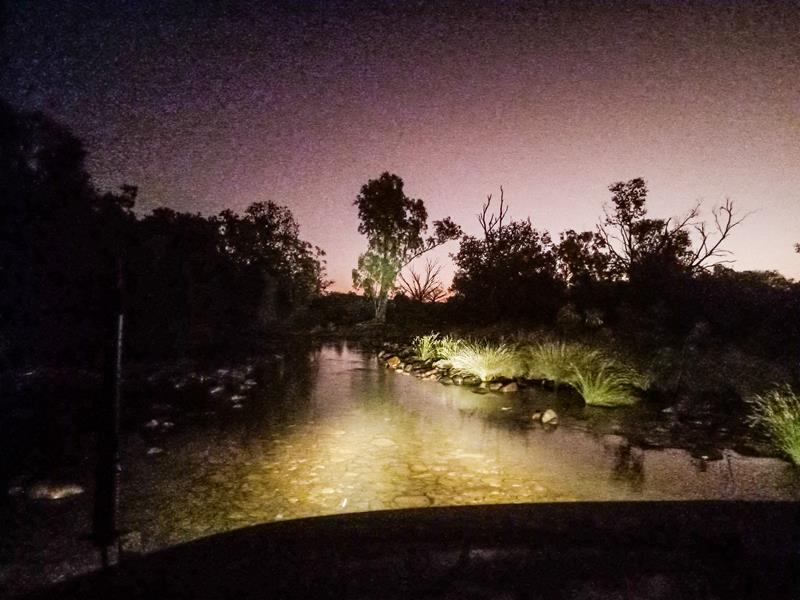
You would need at least a couple of hours to explore Tunnel Creek (excluding driving).
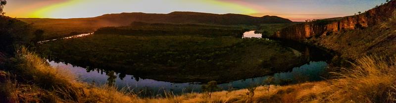
Tunnel Creek, the Gibb River Road
Tunnel Creek

Windjana Gorge – first stop on the Gibb

Our first stop on the Gibb River Road was Windjana Gorge (Bandilngan). Located 155km from Derby and 21km off the Gibb River Road on Fairfield Leopold Road, it was an easy drive from Derby (with 21km being the only unsealed section of the drive for us that day). Windjana Gorge is a great introduction to the whole Gibb River Road experience and in our opinion is a must.

Campground

Windjana campground is very spacious. Bookings can be made online via Parks stay WA. But you can still rely on getting a spot if you arrive late and during the peak season. Just be prepared to move if you are asked by the ranger. We watched a number of campers had to move because they put their tents too close to the bush. For $17 a night per person (in 2022) you get access to clean flushing toilets, solar powered showers and tap water from the nearby creek. The showers might be hot or not – depending on how busy the campground is.

Windjana Gorge campground

Exploring the gorge

The national park entry fee (separate) allows you to explore the gorge, which is in walking distance. There are a couple of hiking trails there.

The Savannah walk is an easy 1km return loop walk that gives you a closer look at the ridges and boab trees growing there.

Walking this trail at the sunset gives you a different perspective, as the setting sun colours the rocks in orange.

The Savannah trail at sunset

The 5km return Gorge trail allows you to experience the profile of the Devonian Reef.

The trail follows the Lennard River, offering picturesque views.

Look for a fossil of Trilobite – an extinct marine arthropod, thought to be more than 250 million years old – and also and giant spiders at the beginning of the trail.

Fresh water crocodiles

Windajana Gorge is one of the best places on the Gibb River Road to see fresh water crocodiles.

There are two types of crocodiles found in Australia (and both are in Kimberley) – saltwater or estuarine crocodiles and freshwater or Johnston’s river crocodiles. Saltwater crocodiles are big (up to 7 meters long) and are dangerous to humans and we’ve only seen from the far distance. Contrary to their name, they live in fresh waters too, up to 200km away from the coast and can attack in less than a second. Fresh waters crocodiles are much smaller (not more than 3 meters long), have smaller teeth and narrow snout. They live in creeks, rivers, billabongs and are often seen sunbathing on the shore. While they are considered non-aggressive, they can bite if disturbed, so they are still better admired from the distance.

Windjana Gorge is home to many more animals, as well as birds.

A lot of people only stay for one night at Windjana Gorge and then move on. We stayed 2 nights and found that it was the right decision. When you take your time while travelling, you can appreciate the beauty of the place and notice little things you would otherwise miss. Where are we travelling next? Tunnel Creek!

Us at Windjana Gorge

Francois Peron National Park

Cape Peron, Francois Peron National Park

Francois Peron National Park in the Shark Bay region along Australia’s Coral Coast is one of our favourite travel destinations. It is a combination of immense raw beauty of red dirt deserts, clear blue ocean waters and white sands, rough 4WD tracks and unique flora and fauna that makes this place so attractive and captivating.

Bush camping at Francois Peron National Park

There are 5 bush campgrounds at Francois Peron National Park – South Gregories, Gregories, Bottle Bay, Herald Bight and Big Lagoon. There are only basic facilities (toilets and some campgrounds have a bbq). Bookings do not apply to these campgrounds but camping fees ($15 per night per person) and park entry fees do apply. The campgrounds are close to the beach. There is no drinking water and no rubbish bins. There is a large skip bin at the entrance to the park where you inflate and deflate the tyres. You would need a 4WD to get to those campgrounds.

The magic of Bottle Bay

We stayed at Bottle Bay campground in 2022 and absolutely loved our 4 day stay there!

Nature painted pictures – patterns, colours and shapes uniquely crafted by wind, rain and time.

Big Lagoon

Big Lagoon, Shark Bay

We love Francois Peron Naitonal Park and visited it several times. Every time we endevour to stay at different campgrounds. So, in 2024 after our trip to Dirk Hartog Island we stayed at Big Lagoon.

Big Lagoon is a series of small picturesque lagoons closer to the entrance to Francois Peron National Park. You have a boat or a kayak, you can explore the little lagoons within the sanctuary zone (you can access it only by boat).

Another way to enjoy this lovely place is to have a picnic or camp there. Big Lagoon campground is the biggest within Francois Peron National Park. There are 19 sites of various sizes and layout but all are quite big. Some sites are drive through. Others have metal raised platforms for tents and swags. All sites can accommodate minimum 2 vehicles. Facilities include 4 long drop well maintained toilets in various parts of the campground. There is also adjacent day use picnic area with sheltered decking, tables, BBQs. Sites are non-bookable. You can fish from the shores of the lagoon near the campground.

Wildlife

Every morning during our stay at Bottle Bay in Francois Peron National Park we woke up to find interesting tracks on the ground and sand. Every time we tried to figure out who made those numerous tracks. We understood that the animals were nocturnal, hiding during the day, making it a complete mystery for us. We saw a beetle, but whom do the rest of the tracks belong to?

We were lucky to see an echidna in Shark Bay (thanks to our older son, Ariel who has spotted it from the car). That is how close we managed to get to echidna before it went hiding. 

While we didn’t see many animals (but many tracks), we saw plenty of birds in Shark Bay. Pied Cormorant is quite abundant there, as is the Pacific gull, which is a very large gull native to the coasts of Australia. Interestingly, the young pacific gull is mottled-brown-greyish in colour.

Sunrise and sunset

When there is not enough sun during the day, looking at the pictures of sunrise helps to boost the mood. 😍

Sunset is equally therapeutic.

Sunset at Bottle Bay

Birridas

Birridas (also spelled Birrada) or gypsum claypans were once saline lakes, between sand dunes, isolated from the ocean. A drop in sea level dried the lakes turning them into what is now known as birridas. There are large areas of birridas in Francois Peron National Park, of different shapes and sizes (with the massive patch between Herald Bight and Gregories). Birridas look quite magnificent (probably, even more so from high above). They are among Shark Bay’s visual attractions, contributing to the region’s World Heritage status through the listing in ‘superlative natural phenomena’ category. Birridas look like they are hard but actually are soft and very unstable, so driving over them is extremely risky and prohibited.
How we got bogged in Francois Peron National Park

We managed to tow our caravan safely to Bottle Bay and nearly all the way back, past the most soft and corrugated parts of the road between Cattle Well and Gregories. But just before Kraskoe’s Tank, we got bogged! There was a lot of ongoing traffic on our way back from Bottle Bay and in an attempt to consider others, we moved to the side of the track, giving way to ongoing traffic. It seems that the sand was blown into a pile and it happened to be very soft there. So we got bogged, blocking the track to a couple of vehicles behind us and ahead of us.

However, being bogged is not a big issue. It is always a test to how the vehicle can handle the terrain, as well as the test of our 4WD skills. As we were a bit more experienced now, we managed to dig ourselves (thanks to Maxtrax) within 10 minutes.

Kids did a good job of helping out too!

Cape Peron

Cape Peron is at the tip of Francois Peron National Park. It is a place of contrasting colours, where red sandstone meets whitish sand and blue ocean waters. This place is abundant in wildlife. For lovers of hiking, there is Wanamalu trail, 1.5km one way, which connects Cape Peron and Skipjack Point.

Interestingly, Wanamalu is Aboriginal name for Cormorants, which can be seen gathering in crowds along the water’s edge at Cape Peron.

Skipjack Point

1,5km from Cape Peron is Skipjack Point, which is another beautiful place to admire. It has a viewing platform from which you can view marine wildlife in abundance. Every time we visit it, we see lots of wildlife swimming in the ocean. Here you can also get the same contrasting view of red, iron rich earth and blue waters, which is truly mesmerizing.

Skipjack Point

Interestingly, the red sand of Peron Peninsula is mostly made of quartz with a layer of iron oxide. It is the same compound that forms when irons rusts, giving the sand its unique colour. The deposits of these red sand are thought to be at least 250,000 years old. While this red sandstone underlies most of Shark Bay, it is exposed only on Peron Peninsula.

Do you know that Skipjack Point is named after golden trevally, which are locally known as “skipjacks” and are abundant in those waters?

How to get to Francois Peron National Park

Francois Peron National Park is on the Peron Penninsular in Shark Bay region, 726km north of Perth, along Australia’s Coral Coast. You can assess the park off the Monkia Mia Road, 4km east of Denham. The road to the Peron Heritage Precinct is unsealed by you can get there with a 2WD. The rest of the park is 4WD only.

Travel Nut Family at Cape Peron